The best road cycling routes around Airway Heights
4.5
(32)
325
riders
19
rides
Road cycling around Airway Heights offers diverse landscapes, from expansive flat terrain to mellow hills, suitable for various fitness levels. The region is characterized by its proximity to the Spokane River and Riverside State Park, featuring basalt formations and ponderosa trees. Paved surfaces are common, providing accessible routes for cyclists. This area provides a blend of natural scenery and varied topography for road cycling.
Best road cycling routes around Airway Heights
- The most popular road cycling route is View of…
Last updated: May 17, 2026
20
riders
55.5km
02:27
580m
580m
Moderate road ride. Good fitness required. Mostly well-paved surfaces and easy to ride.
23
riders
Moderate road ride. Good fitness required. Mostly well-paved surfaces and easy to ride.

Sign up for free
5.0
(1)
29
riders
29.8km
01:21
310m
310m
Moderate road ride. Good fitness required. Mostly well-paved surfaces and easy to ride.
15
riders
39.7km
01:47
400m
400m
Moderate road ride. Good fitness required. Mostly well-paved surfaces and easy to ride.
4.0
(2)
9
riders
16.5km
00:43
150m
150m
Easy road ride. Great for any fitness level. Mostly well-paved surfaces and easy to ride.
Get access to more routes and recommendations from other explorers.
Sign up for free
Already have an account?
Our route recommendations are based on thousands of hikes, rides, and runs completed by other people on komoot.
Start today with a free account
Your next adventure awaits.
Login or Signup
Tips from the Community

This lookout gives you great views of the river. If you continue along the Centennial Trail a couple hundred more feet to the Boone and Summit Blvd intersection will be at the Invisible Bridge. You won't notice that Summit is on a bridge, unless you notice the odd concrete bridge railing. Feel free to peak over the railing and notice that you are 20-30 feet above the ground.
0
0
The Morin Trailhead offer great views of the Bowl and Pitcher. There are plenty of trail that start from here. As well as the Centennial Trail.
0
0
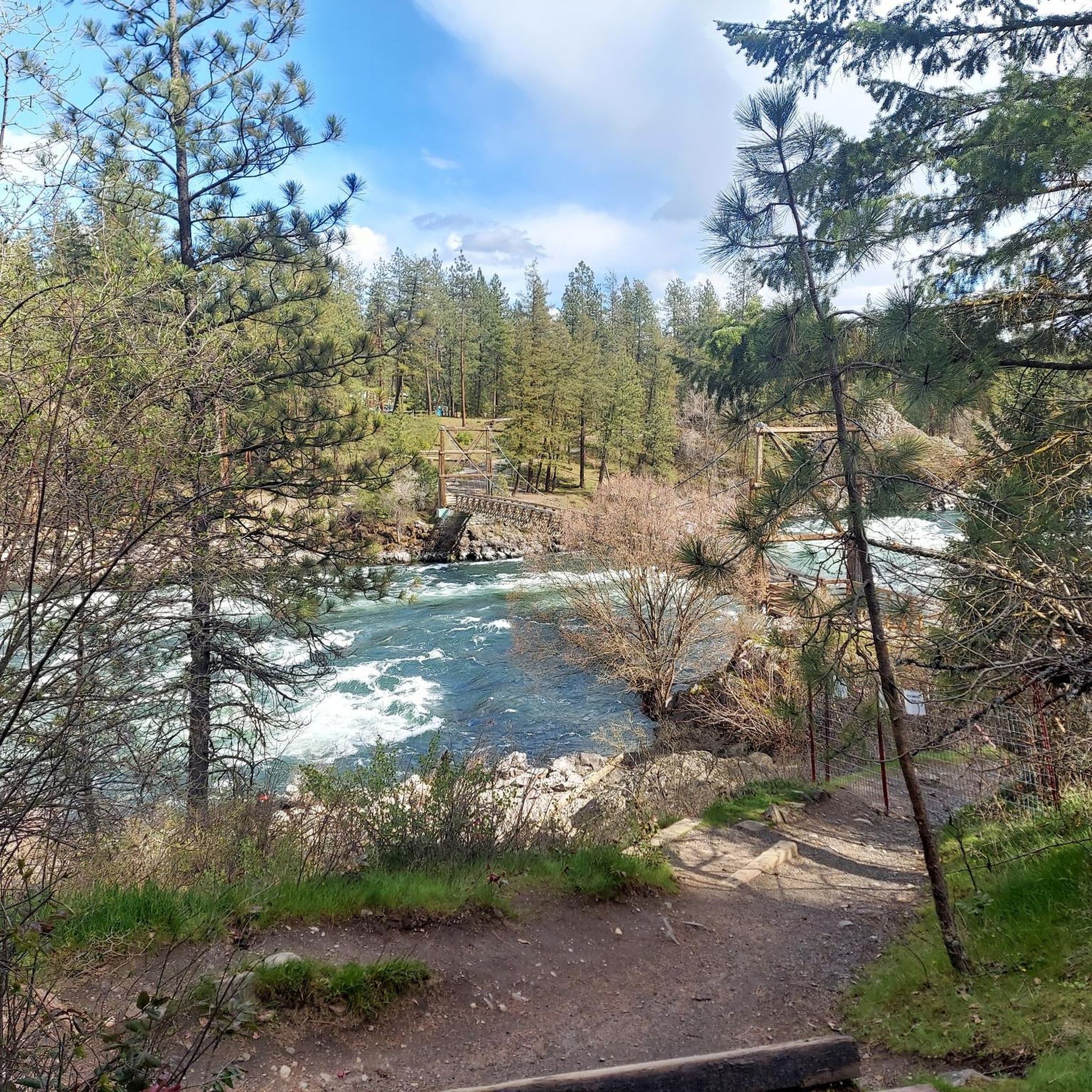
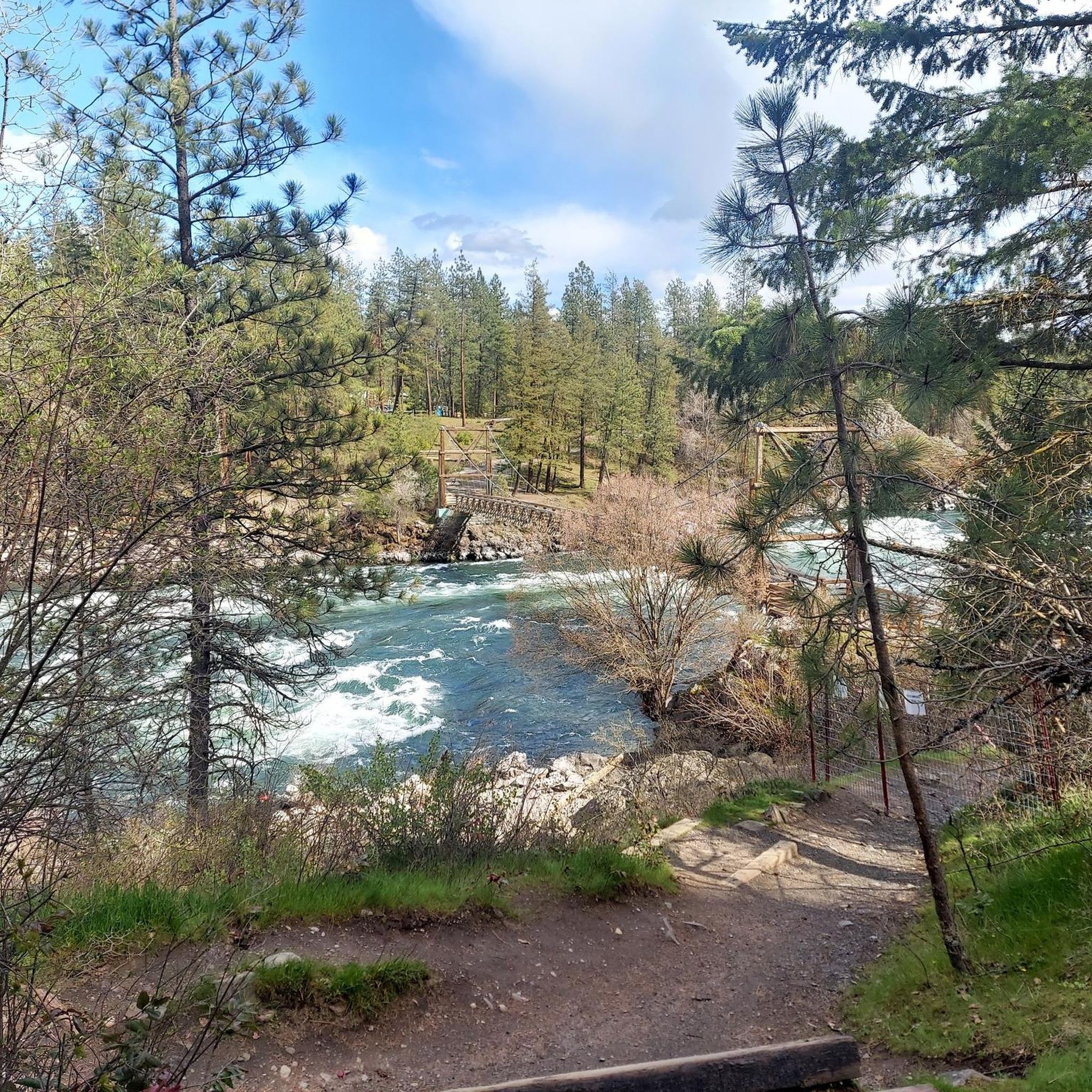
Great view of the river and definitely the place place to cross the river in that area.
0
0
Stop and get a picture on the giant wagon or ride the carousel.
0
0
The Clock Tower is what is left of the railroad station in what is now Riverfront Park. It is located along the Centennial Trial on the North bank of the Spokane River in downtown Spokane.
0
0

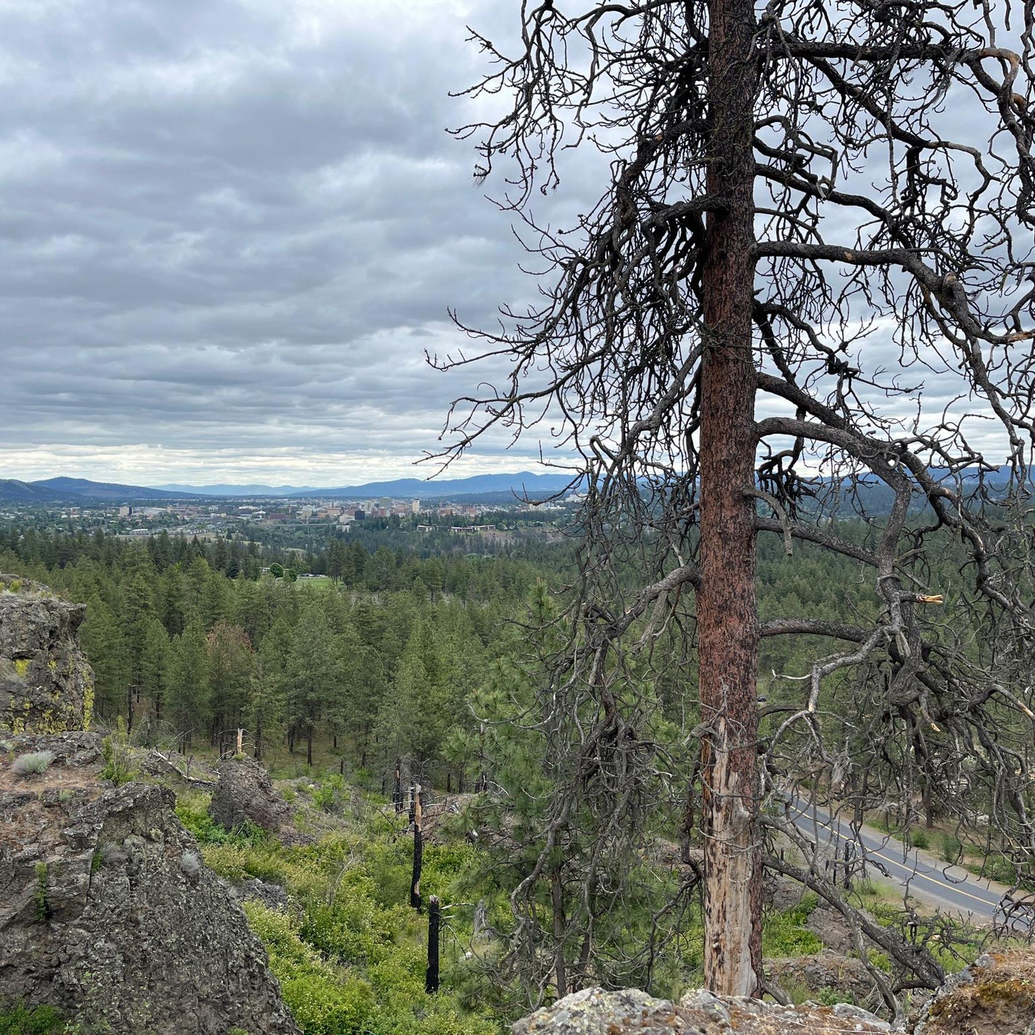
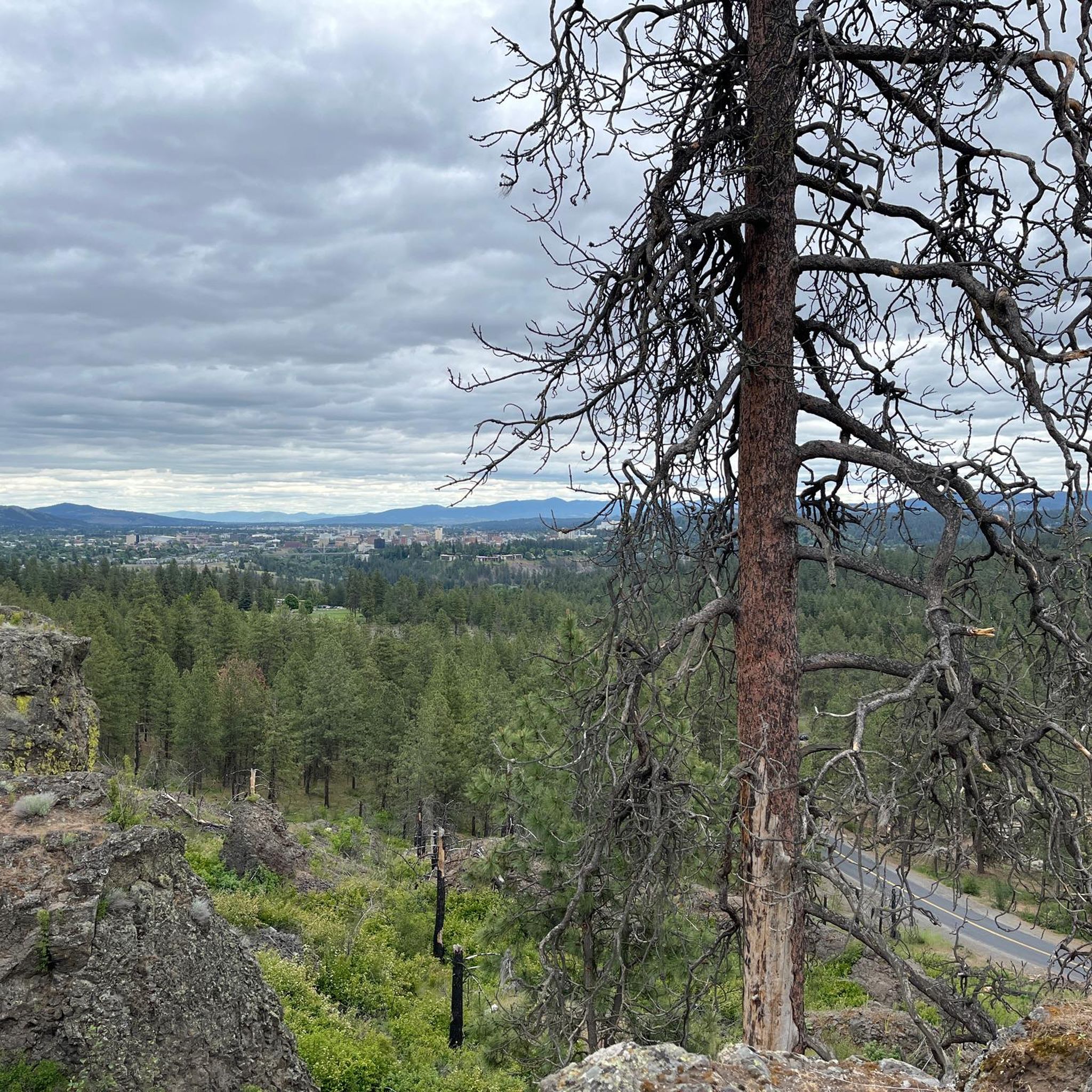
From this spot on the South Hangman Valley Road you get really beautiful views of the river and the Latah valley community. While this road is fairly quiet, it is very twisty with a pretty narrow shoulder so be aware as you ride.
0
0
The Spokane Iron Bridge was built in 1911 by the Oregon & Washington Railroad and Navigation Company to serve mining areas in Idaho and Montana. The rail line closed in 1973 to make way for the 1974 Spokane World's Fair and reopened in 2012 for pedestrian and bicycle use.
0
0
Frequently Asked Questions
How many road cycling routes are available in Airway Heights?
There are 18 road cycling routes around Airway Heights, offering diverse options for various fitness levels. These include 9 easy routes, 8 moderate routes, and 1 difficult route.
What kind of terrain can I expect when road cycling around Airway Heights?
The Airway Heights region offers an ideal landscape for road biking, characterized by expansive flat terrain and a myriad of mellow hills. Most routes feature well-paved surfaces, providing a smooth cycling experience. You'll find a blend of natural scenery and varied topography.
Are there road cycling routes suitable for beginners in Airway Heights?
Yes, Airway Heights has several easy road cycling routes perfect for beginners. One popular option is the View of Queens Lake loop from Montvale Hotel, an 28.5 km ride with 120m of elevation gain, suitable for any fitness level.
What are some scenic landmarks or natural features I can see along the road cycling routes?
Many routes offer views of the Spokane River and its unique basalt formations. You can see the Bowl and Pitcher rock formations and the Lower Spokane Falls Viewing Platform. The Swinging Bridge within Riverside State Park is another notable feature.
Are there any challenging road cycling routes with significant elevation gain?
Yes, for those seeking more challenge, routes like the Bowl and Pitcher Overlook loop from Spokane Falls Community College offer a moderate 55.5 km ride with over 580m of elevation gain. There is also one difficult route available for advanced cyclists.
Are there any loop road cycling trails in Airway Heights?
Many of the road cycling routes in Airway Heights are loops, providing convenient starting and ending points. Examples include the View of Queens Lake loop from Spokane Falls Community College and the Deep Creek Bridge – 9 Mile Recreation Area loop from Wyakin Park.
What do other road cyclists enjoy most about road cycling in Airway Heights?
The road cycling routes in Airway Heights are highly rated by the komoot community, with an average score of 4.9 stars from over 8 reviews. Cyclists often praise the diverse landscapes, well-paved surfaces, and scenic views along the Spokane River.
Are there long-distance road cycling routes available?
Yes, you can find longer routes such as the Riverfront Park – Upper Spokane Falls loop from Spokane Falls Community College, which covers over 50 km and offers significant elevation gain, ideal for longer rides.
What is the best time of year for road biking in Airway Heights?
The Spokane region, including Airway Heights, generally offers good conditions for road biking across multiple seasons. Mid-May is particularly noted for abundant wildflowers along sections of the Centennial Trail, enhancing the scenic experience.
Are there family-friendly road cycling options in Airway Heights?
While specific family-focused routes are not detailed, the presence of numerous easy routes with gentle elevation changes, such as the View of Queens Lake loop from Montvale Hotel, suggests suitable options for families looking for a leisurely ride. Local parks like Sunset Park also offer paved walking paths.
Is parking available near the road cycling trailheads?
While specific parking details for each trailhead are not provided, many routes start from accessible locations like Spokane Falls Community College or Wyakin Park, which typically offer parking facilities. It's advisable to check the specific route details on komoot for precise parking information.
Most popular routes around Airway Heights
Most popular attractions around Airway Heights

Get inspired with the komoot mobile app


Explore more
Browse the best Road cycling routes in other regions.
