The best road cycling routes around Wintergreen
188
riders
23
rides
Road cycling around Wintergreen offers challenging terrain within the Blue Ridge Mountains of Virginia. The region is characterized by significant elevation changes, including climbs that gain nearly 3,000 feet over several miles. Cyclists can expect continuous mountain views and routes that test endurance. The area features well-maintained paved roads, though some segments may be unpaved.
Best road cycling routes around Wintergreen
- The most popular road cycling route is Ravens Roost Overlook to Boston Knob Overlook, a 56.2 miles (90.4…
Last updated: August 17, 2026
8
riders
90.4km
04:54
1,820m
1,820m
Hard road ride. Very good fitness required. Mostly well-paved surfaces and easy to ride.
27
riders
79.9km
04:20
1,460m
1,460m
Hard road ride. Very good fitness required. Some segments of this route may be unpaved and difficult to ride.

Sign up for free
23
riders
61.3km
03:50
1,550m
1,550m
Hard road ride. Very good fitness required. Some segments of this route may be unpaved and difficult to ride.
16
riders
Moderate road ride. Good fitness required. Some segments of this route may be unpaved and difficult to ride.
11
riders
37.7km
02:24
950m
950m
Hard road ride. Very good fitness required. Mostly well-paved surfaces and easy to ride.
Get access to more routes and recommendations from other explorers.
Sign up for free
Already have an account?
Our route recommendations are based on thousands of hikes, rides, and runs completed by other people on komoot.
Start today with a free account
Your next adventure awaits.
Login or Signup

Tips from the Community

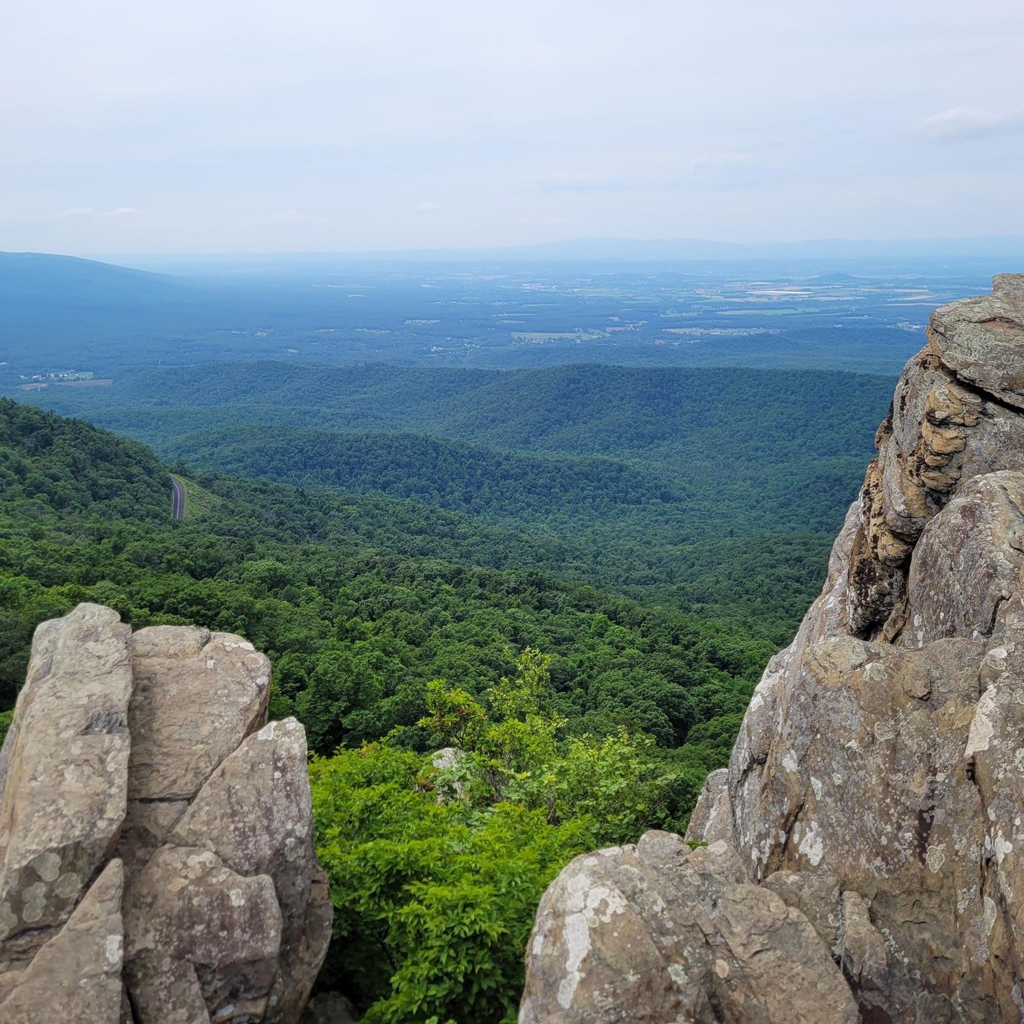
At Milepost 13.1 on the Blue Ridge Parkway is the 3 Ridges Mountain Overlook. You are at an elevation of 2,800 feet at the overlook, but the highest summit you can see from here is 3,900 feet. The Appalachian Trail also crosses the road here, so it can be a sort of busy overlook at times.
0
0
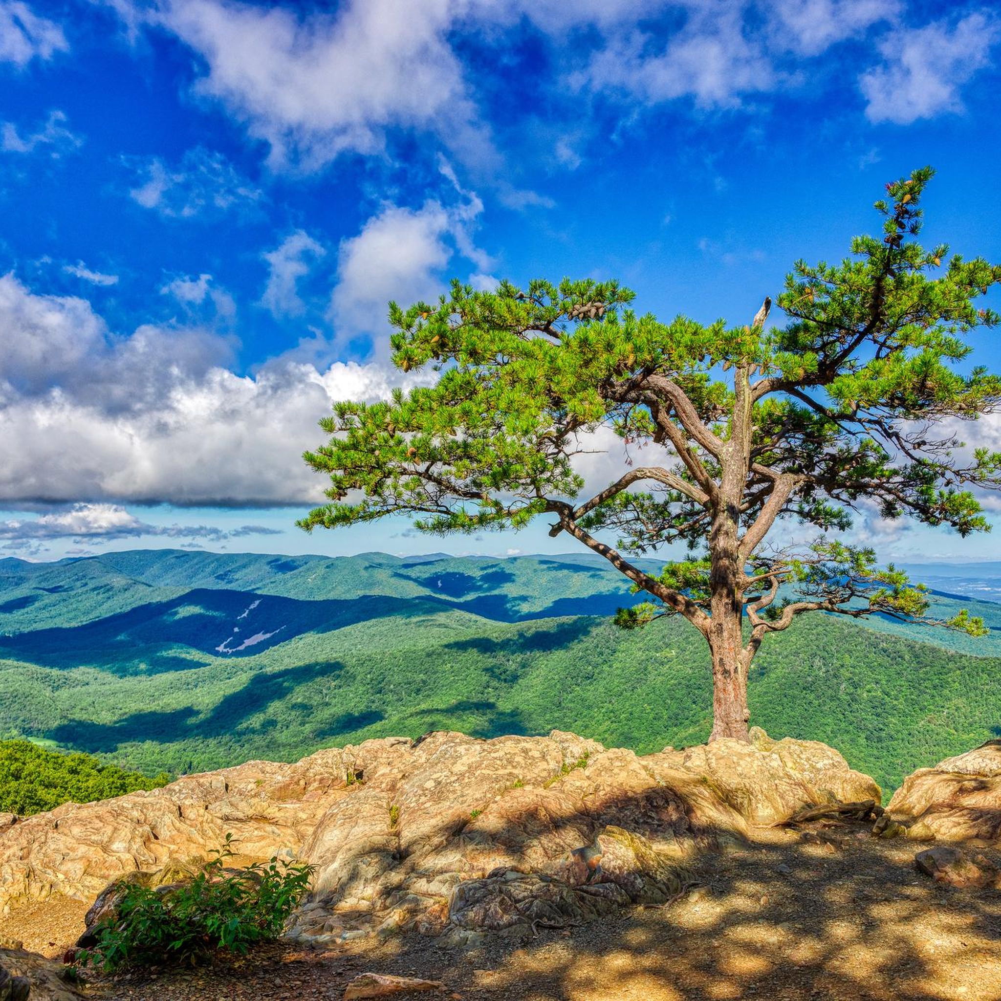
Boston Knob Overlook is located at Milepost 38.8 on the Blue Ridge Parkway and offers a small view from the singular picnic table at the pull-off (the view could be better, but there is a giant tree blocking most of the view). This isn't the best view on the parkway, but it is located in the middle of a section that doesn't have a ton of pull-offs.
0
0
Ravens Roost Overlook is at Milepost 10.7 on the Blue Ridge Parkway and is one of the most popular overlooks in this part of Virginia. From an elevation of 3,200 feet, you can look down into the old farming valley and along mountain ridges running perpendicular to the parkway.
0
0
Located at Milepost 1.5 and at an elevation of 2,148 feet on the Blue Ridge Parkway, Rockfish Valley Overlook is a more popular stop than the nearby Afton Overlook. The Rockfish Valley Overlook is a little more than 200 feet higher in elevation and offers a wide open view of Rockfish Valley with a mountainous backdrop.
0
0
Located just 0.2 miles into the parkway, Afton Overlook is the first official overlook on the Blue Ridge Parkway. Like many of the overlooks of the parkway, this view is of the nearby town. As you climb and descend through the mountains, you get many more views of the network of valleys, rivers, and towns that help make up this unique region of the country. The Blue Ridge Parkway is a 469 mile paved highway through the states of Virginia and North Carolina. The road is extremely popular for cyclists, cars, and motorcycles, so you should always exercise caution biking on the roadways. Being maintained by the National Park Service, the Blue Ridge Parkway is known for its overlooks and access to natural and wilderness areas. Only paved roads (no paths or trails) are open to bikes within the boundaries of the parkway, and you can expect to see other visitors at most overlooks, trailheads, and campgrounds. Biking any section of the Blue Ridge Parkway offers an immersion into Southern Appalachia. Taking on the entire road in a multi-day push is an extreme undertaking for serious cyclists; that being said, any section of the parkway can be doable for cyclists with some road biking experience and the right gear.
1
0
The Slacks Overlook Trail peers over the 20-minute Cliff area on the Blue Ridge Parkway. There are great views of the Copelands Rocks to the south and Upper Sherando Lake to the north.
0
0

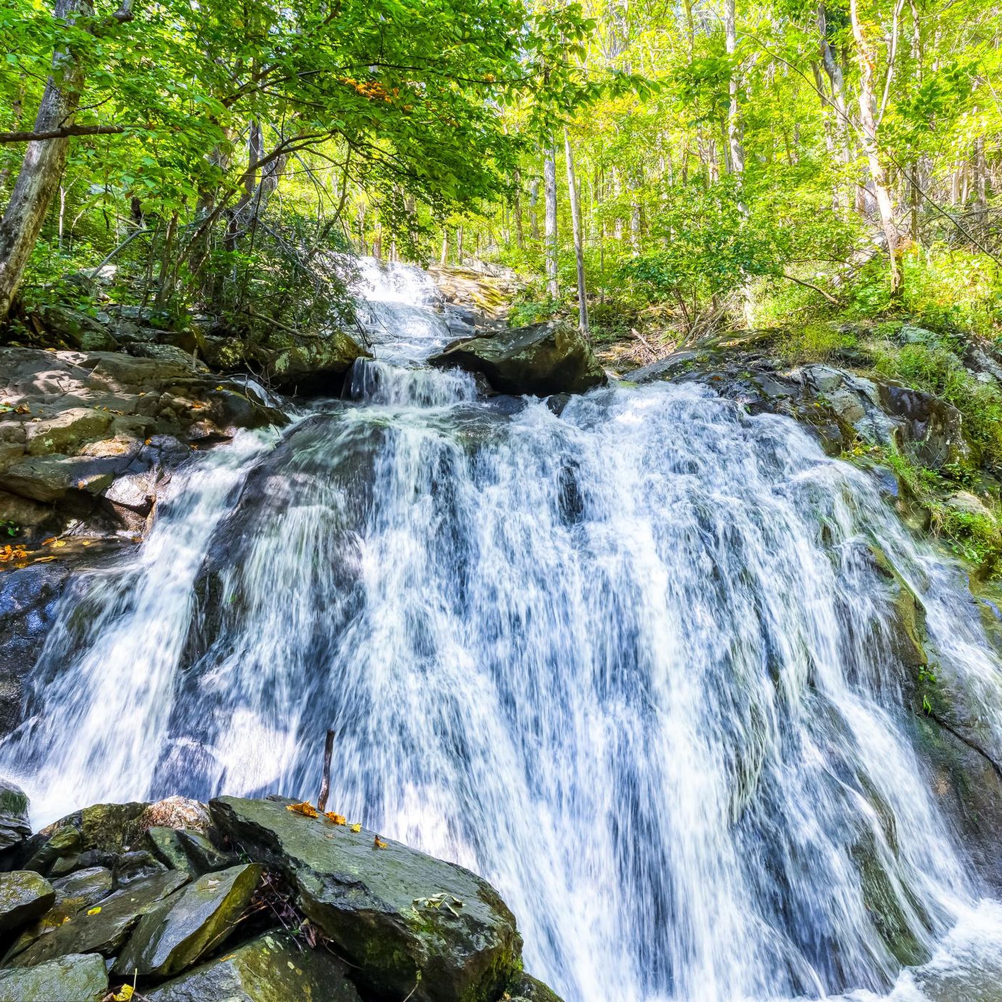
Leave your bike at the start of the trail and hike 1.2 miles (1.9 km) to the magnificent White Rock Falls. The views are just as impressive as the falls.
0
0
The Shenandoah Valley is steeped in history and culture. It's a great place to explore the magnificent outdoors on a network of scenic trails. You can hike, bike, kayak, canoe and ski in the region.
0
0
Frequently Asked Questions
What is the general terrain like for road cycling around Wintergreen?
Road cycling around Wintergreen is characterized by challenging mountain terrain within the Blue Ridge Mountains. You can expect significant elevation changes, including climbs that gain nearly 3,000 feet over several miles, such as the ascent to Wintergreen itself. The routes offer continuous mountain views and are designed to test endurance, with many featuring substantial climbing through the mountainous landscape.
How many road cycling routes are available in the Wintergreen area?
There are over 20 road cycling routes available around Wintergreen, offering a variety of distances and challenges. The majority of these routes are considered difficult, catering to experienced cyclists seeking demanding ascents.
Are there any easier road cycling routes for beginners in Wintergreen?
While Wintergreen is renowned for its challenging terrain, there are a few moderate routes available. However, most road cycling options in the area feature significant elevation gain and are generally suited for cyclists with good fitness levels. There are no routes classified as easy in this guide.
What natural features or landmarks can I see along the road cycling routes?
Many routes offer stunning views of the Blue Ridge Mountains. You can encounter notable natural features like Shamokin Falls and White Rock Falls. Additionally, routes often pass by scenic overlooks such as Ravens Roost Overlook and Rockfish Valley Overlook, providing panoramic vistas.
Are there any circular road cycling routes in Wintergreen?
Yes, several routes are designed as loops, allowing you to start and end in the same location. Examples include the White Rock Falls loop from South Fork Rockfish River and the White Rock Falls – Slacks Overlook Trail loop from Wintergreen, which both offer substantial climbing through the mountainous landscape.
What do other cyclists say about road cycling in Wintergreen?
The road cycling routes in Wintergreen are highly rated by the komoot community, with an average score of 5.0 stars. Cyclists often praise the challenging climbs, continuous mountain views, and the well-maintained paved roads that make for an exhilarating experience.
Is there parking available near the road cycling trailheads in Wintergreen?
Parking availability varies by trailhead and specific starting points. Many routes begin near overlooks or designated parking areas along the Blue Ridge Parkway or within the Wintergreen resort area. It's advisable to check the specific route details on komoot for recommended parking locations.
What is the best time of year for road biking in Wintergreen?
The spring, summer, and fall months generally offer the best conditions for road biking in Wintergreen. The Blue Ridge Mountains provide stunning foliage in autumn, while spring and summer offer lush green scenery. Winter cycling can be challenging due to colder temperatures and potential snow or ice, especially at higher elevations.
Are there any family-friendly road cycling options in Wintergreen?
Given the significant elevation changes and challenging terrain, most road cycling routes around Wintergreen are not typically considered family-friendly for younger or less experienced riders. The area is more suited for experienced cyclists seeking demanding ascents and endurance tests.
Can I find cafes, pubs, or accommodation near the road cycling routes?
Wintergreen and the surrounding areas offer various amenities. You can find cafes, pubs, and accommodation options within the Wintergreen resort itself. Additionally, the region is known for its local wineries, breweries, and cideries, which can be found a short distance from many cycling routes, providing opportunities for refreshment and relaxation.
Are there any long-distance road cycling routes for experienced riders?
Yes, Wintergreen offers several long-distance routes that are ideal for experienced riders. For example, the Ravens Roost Overlook to Boston Knob Overlook route spans over 56 miles with significant elevation gain, providing a substantial challenge and continuous mountain views.
What is the elevation gain like on the road cycling routes?
The road cycling routes in Wintergreen feature substantial elevation gains. Many routes include climbs of over 1,000 meters (3,000 feet), with some sections reaching grades of 10-15%. This makes the area a popular challenge for serious cyclists.
Is public transport available to access the cycling routes in Wintergreen?
Public transport options directly serving the road cycling routes or trailheads in the mountainous Wintergreen area are generally limited. Most cyclists access the routes by personal vehicle, often parking at overlooks or designated areas. It is recommended to plan your transport accordingly.
Most popular attractions around Wintergreen

Get inspired with the komoot mobile app


Explore more
Browse the best Road cycling routes in other regions.
