The best walks and hikes around Wintergreen
4.7
(68)
567
hikers
13
hikes
Hiking around Wintergreen explores the forested slopes and creek valleys of the Blue Ridge Mountains in Virginia. The region features a network of marked trails that ascend to rocky overlooks and descend alongside waterfalls. The terrain offers a mix of steep, rugged sections and more gentle paths through hardwood forests, providing routes for various fitness levels. These trails provide access to panoramic vistas of the Blue Ridge Mountains and the Rockfish and Shenandoah Valleys.
Best hiking trails around Wintergreen
- The…
Last updated: August 18, 2026
5.0
(2)
41
hikers
16.6km
06:30
570m
1,080m
Prepare for a challenging journey along the Appalachian Trail: Reeds Gap to Tye River, a difficult hike that winds through varied forest landscapes. You will cover 10.3 miles (16.6 km)…
5.0
(1)
8
hikers
5.61km
01:49
250m
240m
Embark on an easy hike through the Shamokin Springs Nature Preserve, leading you to the beautiful Shamokin Falls. This 3.5-mile (5.6 km) route involves a climb of 833 feet (254…

Sign up for free
2
hikers
5.80km
02:07
330m
100m
Embark on the Hanging Rock trail for a moderate hike spanning 3.6 miles (5.8 km), where you will ascend 1084 feet (330 metres) over approximately 2 hours and 7 minutes.…
2.15km
00:35
10m
70m
Step onto a segment of the legendary Appalachian Trail with the Dripping Rock South route, a delightful journey through a wooded wonderland. The path meanders over dirt and rocky sections,…
1.80km
00:34
120m
0m
Embark on an easy hike along the Lower Shamokin Falls trail, a refreshing 1.1 miles (1.8 km) route that takes about 34 minutes to complete. You will gain 397 feet…
Get access to more routes and recommendations from other explorers.
Sign up for free
Already have an account?
Our route recommendations are based on thousands of hikes, rides, and runs completed by other people on komoot.
Start today with a free account
Your next adventure awaits.
Login or Signup

Tips from the Community

Watch for sign, short detour from Appalachian trail
0
0

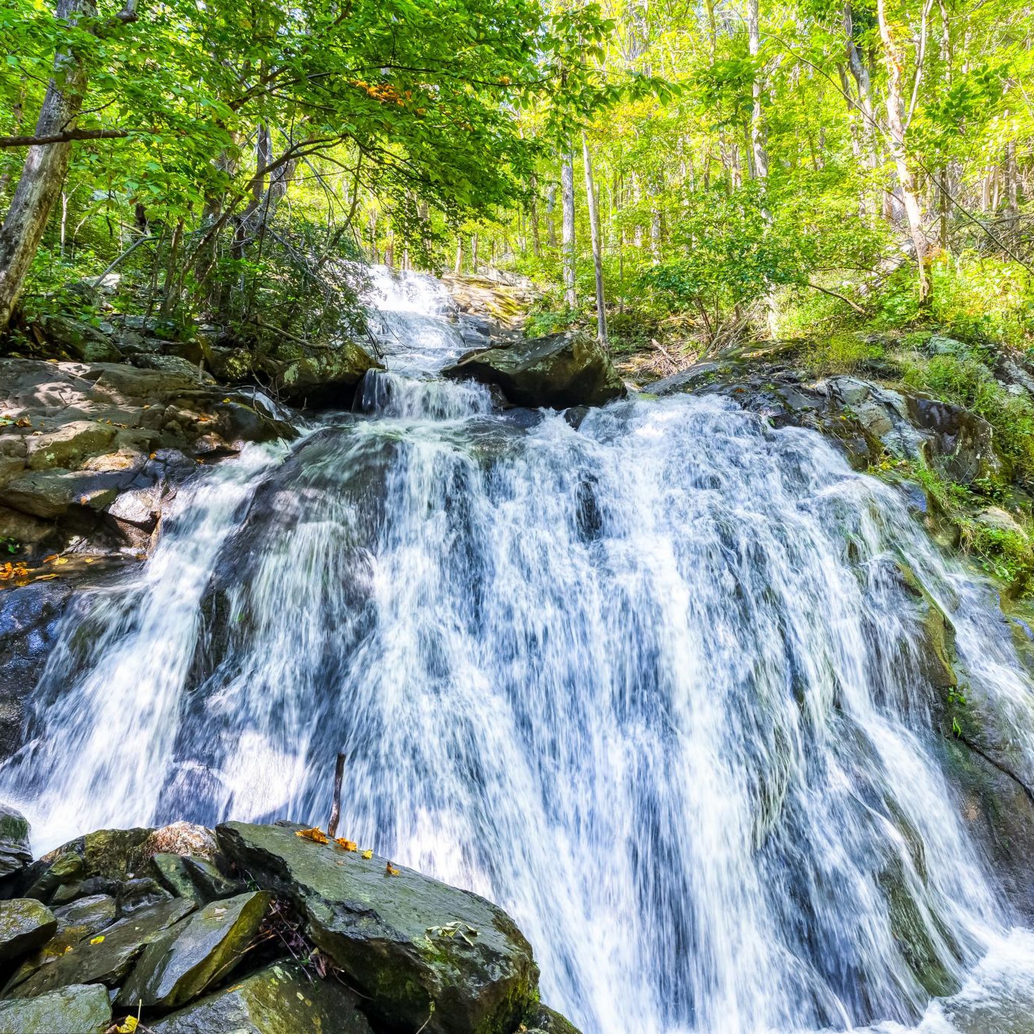
With a few different ways to approach the feature, Shamokin Falls is the most popular attribute on the Wintergreen Resort property. The Upper Falls Trail is by far the most commonly used trail for accessing the falls, but all the approaches have their advantages. The falls are gorgeous year round, but make sure to not climb on the rocks around the falls since the rocks get slick (and icy).
0
0
Chimney Rock is the final main overlook on the Three Ridges loop. The overlook is pointed back towards Hanging Rock and Meadow Mountain, but it is a bit more overgrown than the Hanging Rock viewpoint. If you are looking for a place to make camp for the night and are heading south, the Harpers Creek Shelter is not very far away.
0
0
The Harpers Creek Shelter area is worth stopping at whether you want to stay the night or not. You have to drop a lot of elevation to get back down to this area, and you can usually find water in the creek if you are needing to refill your bottle. The shelter is up a short spur trail, and there are tent sites near the shelter if you aren't wanting to stay inside the structure.
0
0
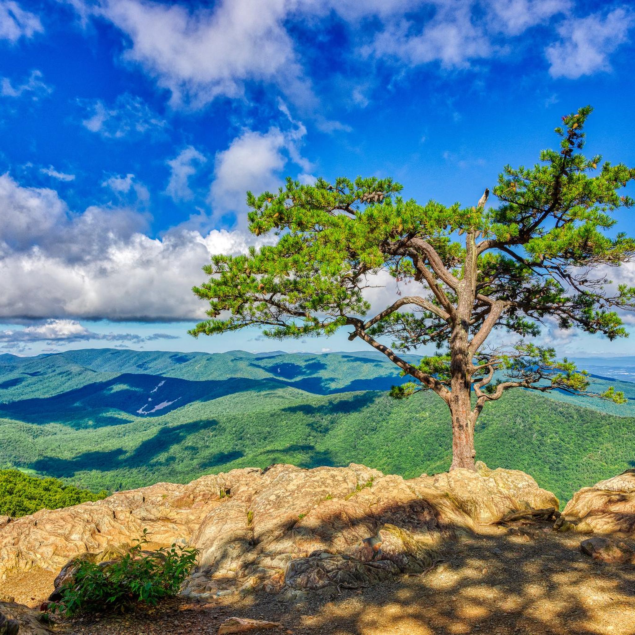
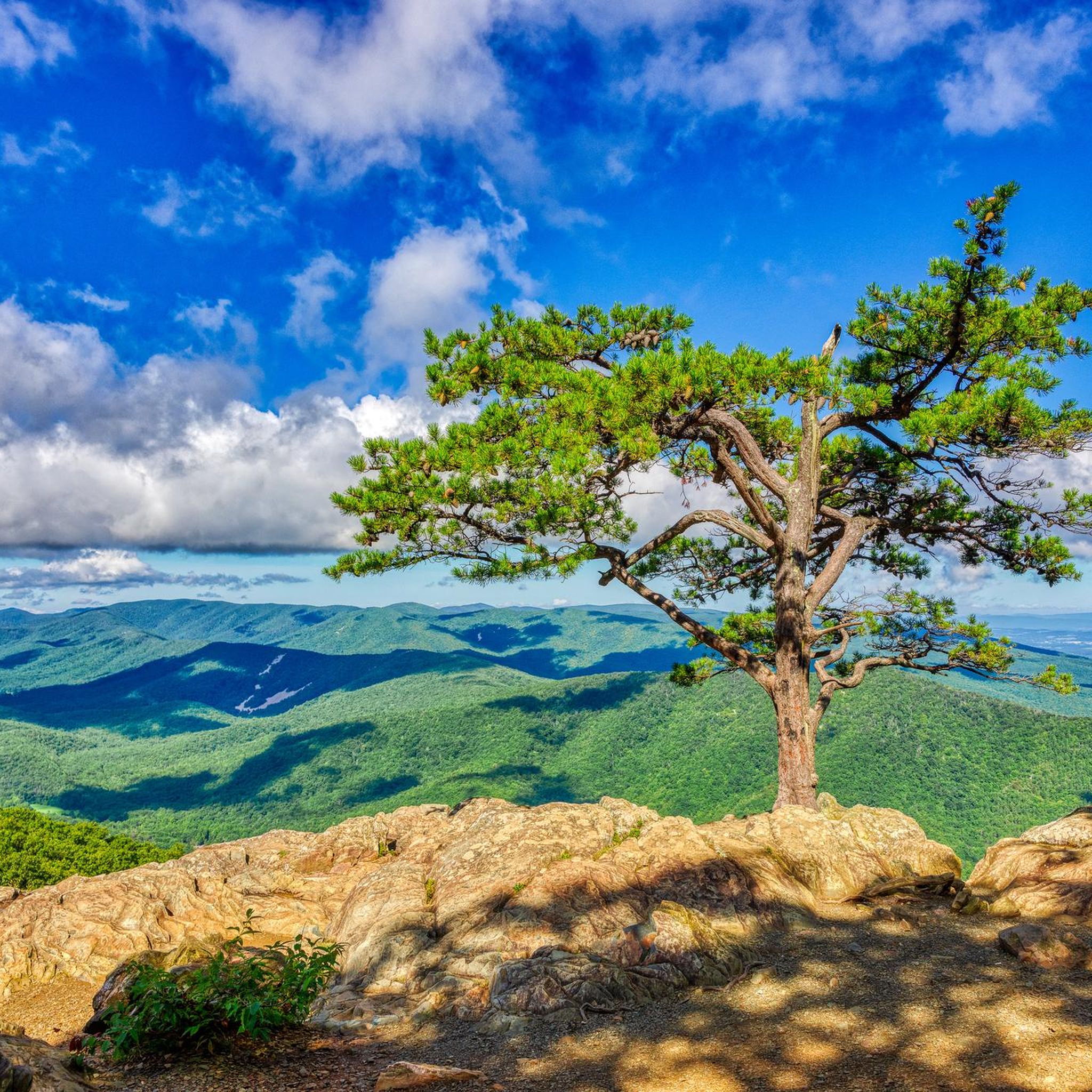
Hanging Rock is commonly referred to as the best viewpoint in the Three Ridges Wilderness. The rocky outcrop peers over the wilderness area along with Lesesne State Forest. The Blue Ridge Parkway offers easy access into the wilderness, but the trails are steep, rocky, and not for the faint of heart. There is a loop that travels around the entire wilderness, but a day hike to Hanging Rock is more popular for people who aren't looking to take on such a big challenge.
0
0
With a few different way to approach the feature, Shamokin Falls is the most popular attribute on the Wintergreen Resort property. The Upper Falls Trail is by far the most commonly used trail for accessing the falls, but all the approaches have their advantages. The falls are gorgeous year round, but make sure to not climb on the rocks around the falls since the rocks get slick (and icy).
0
0
Frequently Asked Questions
Are the hiking trails in Wintergreen suitable for families with children?
Yes, Wintergreen offers several family-friendly options. The trails within the Shamokin Springs Nature Preserve are particularly good for families, offering a gentle, forested experience ideal for spotting wildflowers in warmer months. Another excellent choice is the Shamokin Falls loop, a relatively short walk leading to beautiful cascades that are popular with all ages.
Which trails near Wintergreen are best for seeing waterfalls?
The region is known for its beautiful waterfalls. The Upper Shamokin Falls Trail is one of the most popular on the mountain for this reason, leading to a series of lovely cascades. For a more challenging streamside experience, the Upper Shamokin Gorge Trail follows the headwaters of Stoney Creek. Additionally, Crabtree Falls, a short drive from the resort, features the highest vertical-drop cascading waterfall east of the Mississippi River.
Can I bring my dog on the hiking trails?
Many trails in and around the Wintergreen area are dog-friendly, provided your dog is kept on a leash. The trails within the George Washington & Jefferson National Forest, such as those leading to Humpback Rocks, are great options. However, always check specific regulations for the trail you plan to hike, especially within the resort boundaries, as rules can vary.
What are some strenuous, challenging hikes near Wintergreen?
For experienced hikers looking for a challenge, the Three Ridges Wilderness Loop is a demanding 13.4-mile (21.5 km) trek with significant elevation gain. Another strenuous but rewarding option is the climb to Humpback Rocks, which offers incredible 360-degree views from the summit.
Are there any easy, relatively flat hikes available?
Yes, there are several easier trails. The White Oak Trail within the Shamokin Springs Nature Preserve offers a peaceful, mostly level walk through a hardwood forest. For a very short walk to a stunning viewpoint, the trail to Ravens Roost Park is only 0.1 miles and features an overlook platform with fantastic vistas.
How are the hiking trails marked in Wintergreen?
The trail system at Wintergreen is well-maintained and uses a color-coded blaze system to help hikers navigate. Yellow blazes mark access trails, red blazes identify perimeter trails, and blue blazes are used for valley trails. Signs are posted at intersections indicating the trail name, direction, and blaze color.
What kind of views can I expect on the trails?
The trails offer a variety of breathtaking landscapes. For panoramic mountain vistas, the hike to Devils Knob Overlook is a local favorite, providing wide-open views of the rolling hills. The Hanging Rock via Appalachian Trail also rewards hikers with scenic overlooks along its route.
Are the hiking trails open during the winter?
Yes, many trails are accessible year-round for hiking and snowshoeing. However, conditions can be icy and challenging, especially on steeper sections. It's essential to wear appropriate footwear with good traction, such as microspikes, and check trail conditions before you go. Some access roads, like the Blue Ridge Parkway, may close due to weather.
What should I pack for a day hike in Wintergreen?
For a day hike, you should bring plenty of water and snacks, a map of the trail system, and a fully charged phone. Layered clothing is recommended as mountain weather can change quickly. Sturdy hiking shoes are a must due to the rocky and sometimes steep terrain. Depending on the season, you might also want to pack bug spray, sunscreen, and a rain jacket.
Are there any circular or loop hikes available?
Yes, there are many excellent loop trails. The Humpback Rocks loop via Apalachian Trail is a popular 4.1-mile (6.6 km) circular route that includes a spectacular viewpoint. For a shorter option, the Morgans Loop trail offers a pleasant return path after visiting Upper Shamokin Falls.
What do other hikers say about the trails around Wintergreen?
The hiking routes around Wintergreen are highly regarded by the komoot community, with an average rating of 4.7 stars. Hikers frequently praise the well-marked trail network, the stunning Blue Ridge Mountain scenery, and the variety of trails that range from peaceful forest walks to challenging mountain climbs.
Where can I find hikes along the Blue Ridge Parkway near Wintergreen?
Wintergreen's location provides direct access to some of the best hikes along the Blue Ridge Parkway. The trail to Humpback Mountain & Humpback Rocks is a classic parkway hike known for its incredible summit views. You can find several trailheads and overlooks just a short drive from the resort.
Most popular attractions around Wintergreen

Get inspired with the komoot mobile app


Explore more
Browse the best Hikes in other regions.
