The best road cycling routes around Crosspointe
4.4
(14)
813
riders
72
rides
Road cycling around Crosspointe offers a network of routes that traverse parklands, suburban areas, and connect to natural features like lakes and historic town centers. The terrain generally features rolling hills and varied landscapes, suitable for road cyclists seeking diverse experiences. These routes often incorporate sections through wooded areas and open spaces, providing a mix of scenery. The region's infrastructure supports cycling with established paths and roads connecting different points of interest.
Best road cycling routes around Crosspointe
- The most…
Last updated: July 2, 2026
4.5
(2)
58
riders
43.0km
02:04
230m
230m
Moderate road ride. Good fitness required. Mostly well-paved surfaces and easy to ride.
5.0
(1)
27
riders
55.2km
02:29
420m
420m
Moderate road ride. Good fitness required. Mostly well-paved surfaces and easy to ride.

Sign up for free
5.0
(3)
23
riders
26.5km
01:20
180m
180m
The Burke Lake – Burke Lake Trail loop from Woodbridge offers a pleasant escape into nature, circling the picturesque Burke Lake under a beautiful forest canopy. While the route is…
14
riders
21.4km
00:57
180m
180m
Easy road ride. Great for any fitness level. Mostly well-paved surfaces and easy to ride.
3.0
(1)
21
riders
73.1km
03:20
430m
430m
If you're seeking a rewarding road cycling experience with stunning natural vistas, the Belmont Bay loop from Lorton is a solid choice. This moderate 45.4-mile (73.1 km) route, featuring 1404…
Get access to more routes and recommendations from other explorers.
Sign up for free
Already have an account?
Our route recommendations are based on thousands of hikes, rides, and runs completed by other people on komoot.
Start today with a free account
Your next adventure awaits.
Login or Signup

Tips from the Community

Belmont Bay is a lovely stretch of water at the mouth of the Occoquan River. The bay is flanked by three nature reserves: Elizabeth Hartwell Mason Neck National Wildlife Refuge, Mason Neck State Park and the Occoquan Bay National Wildlife Refuge. Keep your eyes peeled for bald eagles and Great Blue Herons. It's also a popular place to go boating.
0
0

Nice place to walk, you can rent a boat as well.
1
0

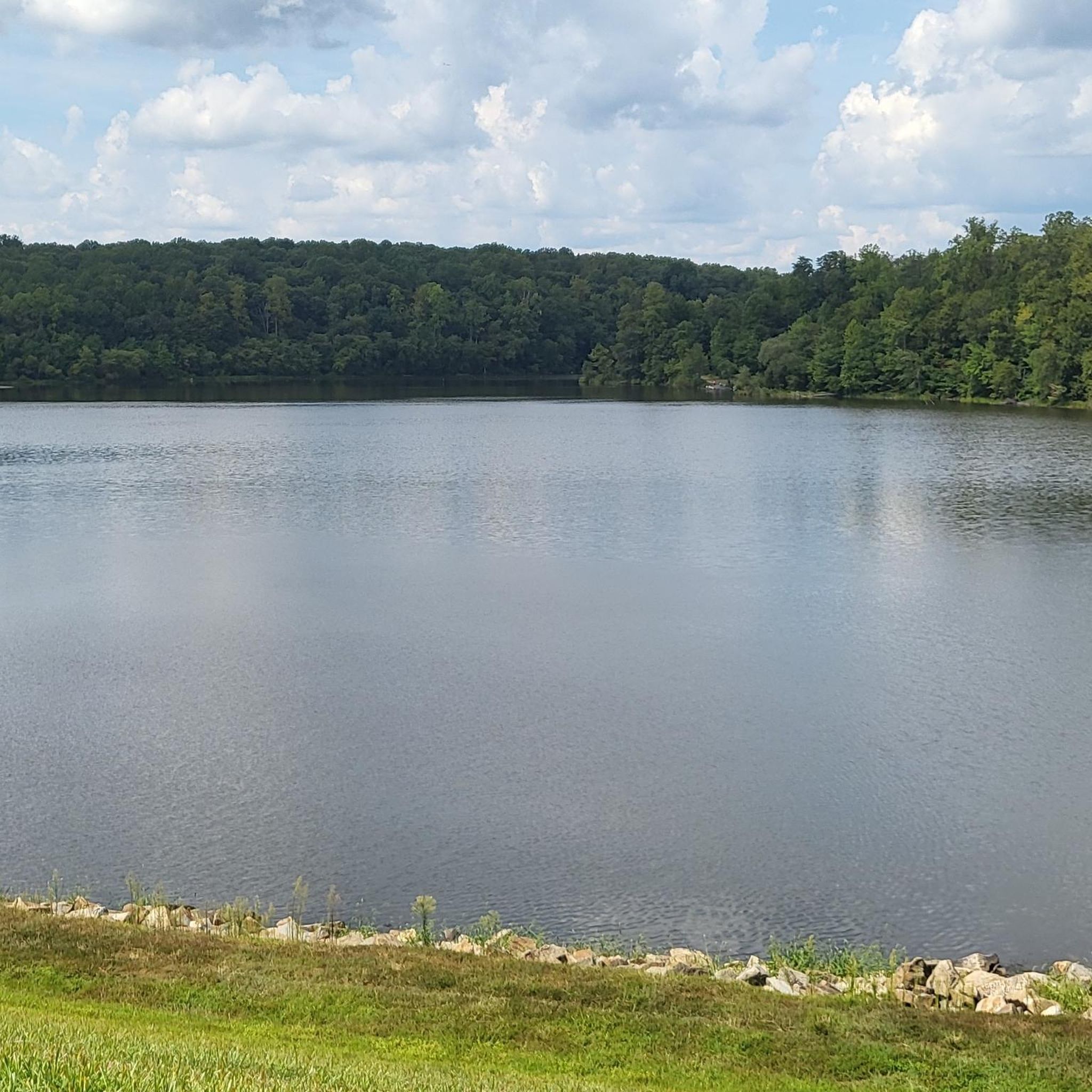
This spot near the main boat launch offers a great view of Burke Lake, Burke Lake Park, and the Vesper Island State Waterfowl Refuge. There's also lots of parking, picnic areas, restrooms, and water fountains here.
0
0

Cherry Run Park, located around Huntsman Lake, teems with ducks, deer, and a beaver population. It's an ideal spot for jogging, biking, walking, and dog walking on a leash.
0
0

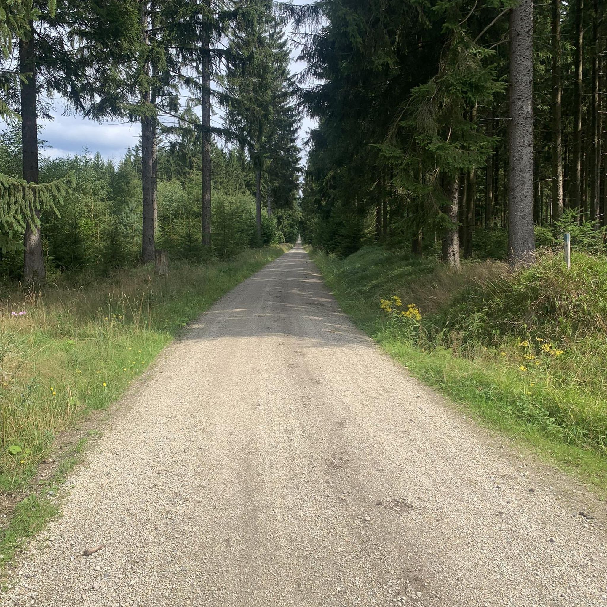
This is a very pleasant wooded area for cycling, especially during the summer in the shade of the trees.
0
0

South Run District Park is a large local park in Springfield, Virginia. The South Run Rec Center is located here along with several ball fields, an indoor soccer field, a playground, and a zip-line/adventure park. This is a nice place to pause along your ride if you need to use the bathroom or refill a water bottle.
0
0

Chapel Road is a beautiful stretch of tarmac with beautiful views of the surrounding horse ranches on a gentle gradient. A great stretch to get shifting on your bike.
0
0

Riders don't need to pay the car entry fee. There is also a path alongside the road, but it may have hikers, runners, and dog-walkers
0
0
Frequently Asked Questions
How many road cycling routes are available around Crosspointe?
There are over 75 road cycling routes around Crosspointe, offering a diverse range of experiences for cyclists. These routes are highly rated by the komoot community, with an average score of 4.7 stars.
What kind of terrain and scenery can I expect on road cycling routes in Crosspointe?
Road cycling around Crosspointe features a network of routes that traverse parklands, suburban areas, and connect to natural features like lakes and historic town centers. You can expect rolling hills and varied landscapes, often incorporating sections through wooded areas and open spaces, providing a mix of scenery.
Are there road cycling routes suitable for beginners in Crosspointe?
Yes, Crosspointe offers a good selection of routes for beginners. There are 19 easy road cycling routes available. An example of an easy route is the Burke Lake loop from Lorton, which is 36.2 km long and takes about 1 hour 38 minutes to complete.
Are there challenging road cycling routes for experienced cyclists?
Yes, for more experienced cyclists seeking a challenge, there are 2 difficult road cycling routes around Crosspointe. A notable difficult route is the Neabsco Creek Boardwalk – Four Mile Run Park loop from Lorton (Auto Train), which spans 200.4 km and typically takes over 9 hours to complete, leading through waterfront areas and park systems.
What do other road cyclists enjoy most about cycling in Crosspointe?
The komoot community highly rates road cycling in Crosspointe, with an average score of 4.7 stars from over 16 reviews. Cyclists often praise the varied terrain, the scenic parkland loops, and the connections to historic areas and lakes, which offer diverse experiences.
Are there any circular road cycling routes in Crosspointe?
Many of the road cycling routes in Crosspointe are designed as loops, offering convenient circular journeys. For instance, the popular Cherry Run Park – Burke Lake loop from Newington Forest is a 48.4 km route that connects two notable parks and a lake.
What natural attractions or landmarks can I see along the road cycling routes?
Many routes in Crosspointe pass by or near beautiful natural attractions. You can cycle past Lake Mercer and Lake Accotink, both popular lakes in the area. Some routes also incorporate sections of the Burke Lake Trail, offering scenic views.
Are there family-friendly road cycling options in Crosspointe?
While specific 'family-friendly' road cycling routes are not explicitly detailed, the region offers 19 easy routes that could be suitable for families with older children or those looking for less strenuous rides. These routes often traverse parklands and suburban areas, which can be more accessible.
Is Crosspointe a good destination for road cycling year-round?
Crosspointe's road cycling conditions are generally best during spring, summer, and fall when the weather is mild. Winter cycling might be possible, but conditions can vary, and some paths might be affected by colder temperatures or precipitation. Always check local weather forecasts before heading out.
Are there options for food and drink along the road cycling routes?
While specific cafes or pubs directly on the routes are not detailed, many routes pass through suburban areas and connect to historic town centers like Clifton. These areas typically offer various dining options and places to refuel. Planning your route with potential stops in mind is recommended.
What are the parking and public transport options for accessing road cycling routes?
Information on specific parking lots or public transport connections for each trailhead is not provided in detail. However, given the routes traverse parklands and suburban areas, it's likely that parking is available at various park entrances or community centers. For public transport, local bus services might offer connections to areas near the routes, but checking specific schedules and stops is advisable.
Can I bring my dog on road cycling routes in Crosspointe?
Road cycling routes are generally designed for cyclists on paved roads or dedicated bike paths, which may not always be suitable or safe for dogs, especially if they are not accustomed to running alongside a bike for long distances. If you wish to bring your dog, consider exploring multi-use trails or parks where dogs are explicitly permitted and where the terrain is safer for them.
Most popular attractions around Crosspointe

Get inspired with the komoot mobile app


Explore more
Browse the best Road cycling routes in other regions.
