The best road cycling routes around Salem
4.3
(3)
688
riders
47
rides
Road cycling routes around Salem are characterized by varied terrain, including paths along the Roanoke River and routes through rolling hills. The region offers a mix of urban and rural cycling experiences, with routes that traverse both developed areas and natural landscapes. Elevation gains vary, providing options for different fitness levels, from gentle rides to more challenging climbs. The area's geography supports diverse road cycling, from scenic river loops to routes exploring local landmarks.
Best road cycling routes around Salem
…Last updated: October 5, 2026
20
riders
61.0km
02:40
560m
560m
This 37.9 miles (61.0 km) moderate road cycling loop along the Roanoke River offers scenic views and a good workout.
40
riders
49.2km
02:04
300m
300m
Moderate road ride. Good fitness required. Mostly well-paved surfaces and easy to ride.

28
riders
84.7km
04:13
820m
820m
Moderate road ride. Good fitness required. Some segments of this route may be unpaved and difficult to ride.
25
riders
22.1km
01:08
330m
330m
Moderate road ride. Good fitness required. Mostly well-paved surfaces and easy to ride.
23
riders
15.3km
00:37
60m
60m
Easy road ride. Great for any fitness level. Mostly well-paved surfaces and easy to ride.
Get access to more routes and recommendations from other explorers.
Already have an account?
Our route recommendations are based on thousands of hikes, rides, and runs completed by other people on komoot.
Start today with a free account
Your next adventure awaits.

Tips from the Community

Parking area at the bottom is closed (Near Dollar General). We parked across the street and walked the gravel up to Star Trail Trailhead.
0
0

The Memorial Bridge of Roanoke supports the Roanoke River Greenway and has wide sidewalks on both sides of the car lanes that bikes use. The bridge has two-lane traffic and spans 785 feet across the Roanoke River. While riding here, pay attention and find all five plaques, with quotes from Patrick Henry, Theodore Roosevelt, Stonewall Jackson, and Thomas Jefferson. The last plaque has the names of World War I victims.
0
0
Wasena Park is a green space along the Roanoke River. The Roanoke River Greenway bike-friendly path runs through the park, and the park offers a playground, two picnic shelters, the Roanoke Skate Park, a baseball diamond, a basketball court, ADA-accessible picnic shelters with tables, lights at night, electrical outlets, and grills, as well as ADA-accessible restrooms.
0
0

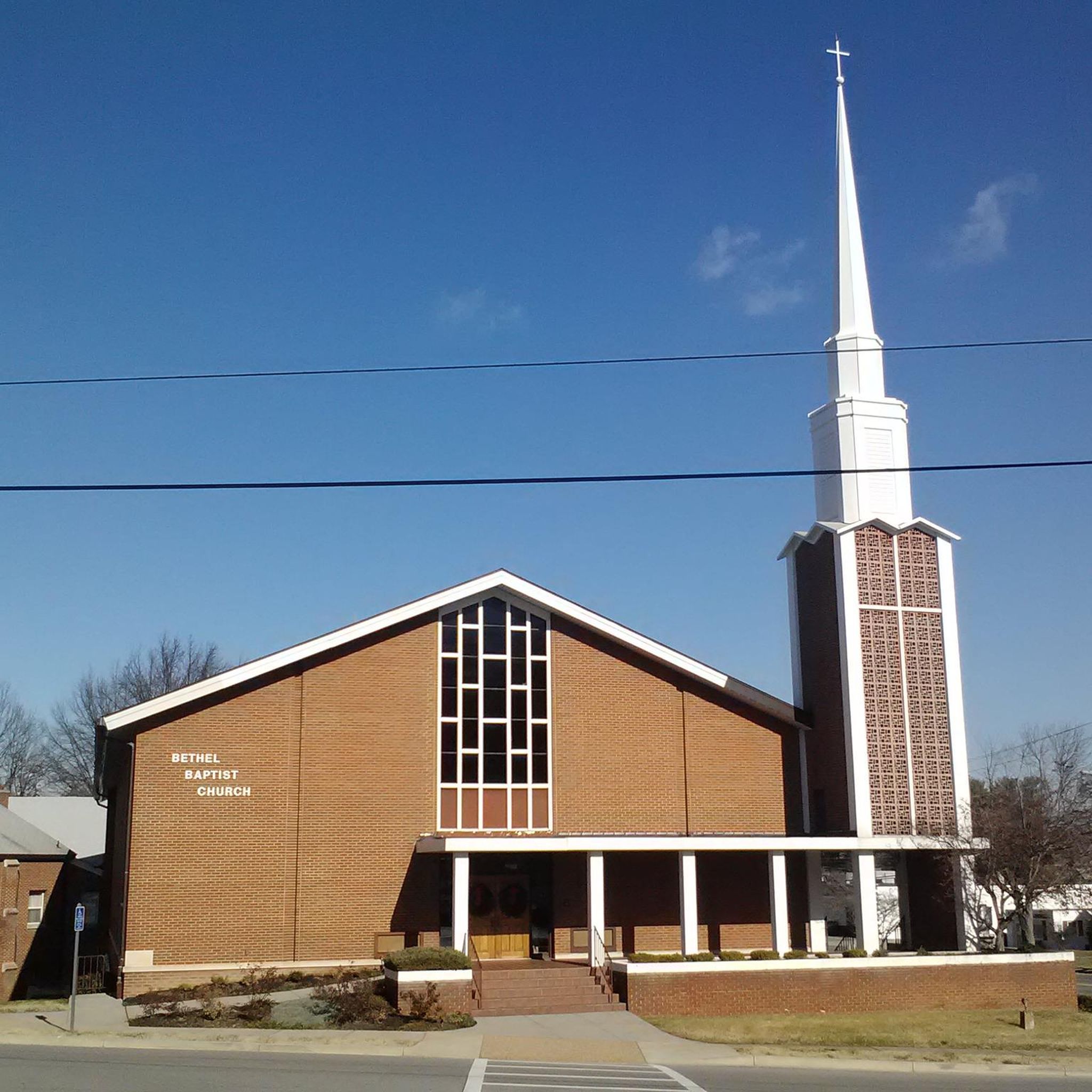
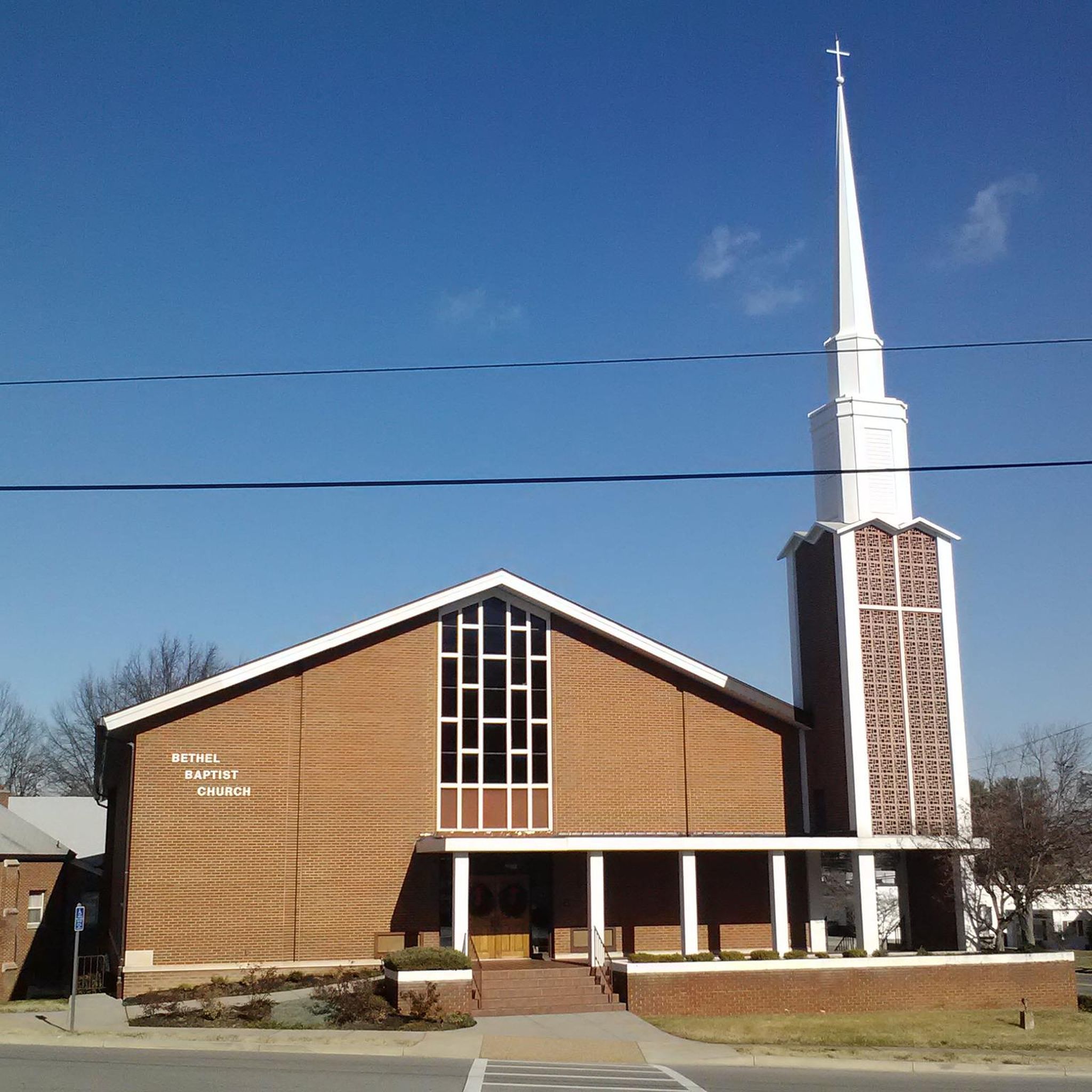
Modest church with a big tower in Salem, near the Roanoke river. More information at: http://bethelbaptistva.com/
0
0

The Roanoke River stretches 410 miles through southern Virginia and northeastern North Carolina. It is a vital habitat for large numbers of fish, birds, and mammals, as well as a recreational area for locals.
0
0
This bit is a lovely paved walk along the Roanoke. It is a very charming walk during sunny and warm days!
0
0

Roanoke's City Market is the oldest continuously operating markets in Virginia, getting its start in 1882. In addition to the excellent food on offer the surrounding historic district is home to other attractions such as the Roanoke Pinball Museum.
0
0
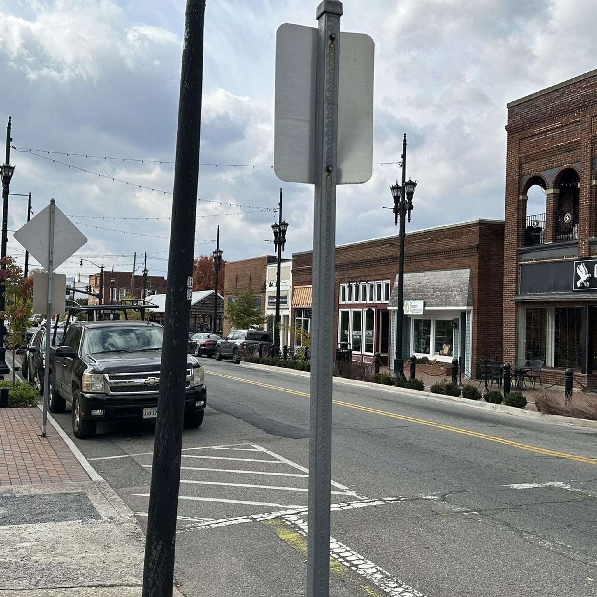
The greenway is an easily accessible multi-use trail that runs along the Roanoke River. There are multiple points of access and a number of nice parks along its route. It can get busy with cyclists, walkers, and runners though so be aware of your fellow trail users.
0
0
Frequently Asked Questions
How many road cycling routes are available around Salem?
There are over 50 road cycling routes around Salem, offering a diverse range of experiences. This includes 8 easy routes, 36 moderate routes, and 10 more challenging options for experienced cyclists.
Are there any easy road cycling routes suitable for beginners in Salem?
Yes, Salem offers several easy road cycling routes. One excellent option is the Memorial Bridge – Wasena Park loop from Salem, which is 13.9 miles long with minimal elevation gain, making it ideal for a relaxed ride.
What are some longer distance road cycling routes in the Salem area?
For those seeking a longer ride, the Bethel Baptist Church loop from Cave Spring covers 52.6 miles with significant elevation gain, providing a substantial challenge. Another great option is the Roanoke River Overlook – Roanoke City Market loop from Salem, which is 46.4 miles long.
Are there road cycling routes with significant climbs for advanced riders?
Yes, the Salem area features routes with notable elevation gains. The Bethel Baptist Church loop from Cave Spring, for instance, includes over 800 meters of ascent, making it a good choice for advanced cyclists looking for a challenging ride.
What kind of scenery can I expect on road cycling routes around Salem?
Road cycling routes around Salem offer varied scenery, from paths along the Roanoke River to routes through rolling hills. You'll experience a mix of urban and natural landscapes, with opportunities to see river valleys and surrounding areas.
Are there any scenic viewpoints or natural attractions accessible from road cycling routes?
While cycling, you can find natural attractions nearby. Consider exploring areas that might offer views of McAfee Knob or the Roanoke Star on Mill Mountain, both popular viewpoints in the region. The area also features natural monuments like Dragon's Tooth.
What do other road cyclists say about the routes in Salem?
The road cycling routes in Salem are highly regarded by the komoot community, holding an average rating of 4.0 stars. Cyclists often praise the varied terrain and the mix of river paths and rolling hills that define the region's cycling experience.
Are there circular road cycling routes available in Salem?
Many of the road cycling routes around Salem are designed as loops, providing convenient circular journeys. Examples include the popular Roanoke River loop and the Roanoke River loop from Cave Spring.
Where can I find parking for road cycling routes in Salem?
Parking options are available in the Salem area. For example, there is a Hiking parking lot near McAfee Knob R 311, which might serve as a starting point for some routes, depending on your chosen cycling path.
What is the best time of year for road cycling in Salem?
The Salem area generally offers good road cycling conditions during spring, summer, and fall. These seasons typically provide pleasant temperatures and less challenging weather, making for enjoyable rides through the region's diverse landscapes.
Are there any specific routes that follow the Roanoke River?
Yes, several routes in Salem follow the Roanoke River, offering consistent riding along its banks. The Roanoke River loop is a prime example, providing a scenic ride through the river landscape.
Most popular attractions around Salem

Get inspired with the komoot mobile app


