The best road cycling routes around West Brattleboro
72
riders
14
rides
Road cycling routes around West Brattleboro traverse a landscape characterized by rolling hills, dense forests, and river valleys in southern Vermont. The region features varied terrain, including paved roads that wind through rural areas and past natural landmarks. Cyclists can expect routes with moderate elevation changes, offering both gradual ascents and descents. The area's geography provides a mix of open stretches and tree-lined roads, suitable for road biking.
Best road cycling routes around West Brattleboro
- The most popular road cycling…
Last updated: September 28, 2026
14
riders
63.1km
03:07
660m
660m
Moderate road ride. Good fitness required. Some segments of this route may be unpaved and difficult to ride.
9
riders
58.5km
02:31
450m
450m
Moderate road ride. Good fitness required. Mostly well-paved surfaces and easy to ride.

8
riders
94.3km
04:16
960m
960m
Hard road ride. Very good fitness required. Some segments of this route may be unpaved and difficult to ride.
7
riders
55.5km
02:31
590m
590m
Moderate road ride. Good fitness required. Some segments of this route may be unpaved and difficult to ride.
6
riders
28.4km
01:27
370m
370m
Moderate road ride. Good fitness required. Some segments of this route may be unpaved and difficult to ride.
Get access to more routes and recommendations from other explorers.
Already have an account?
Our route recommendations are based on thousands of hikes, rides, and runs completed by other people on komoot.
Start today with a free account
Your next adventure awaits.
Popular around West Brattleboro

Tips from the Community

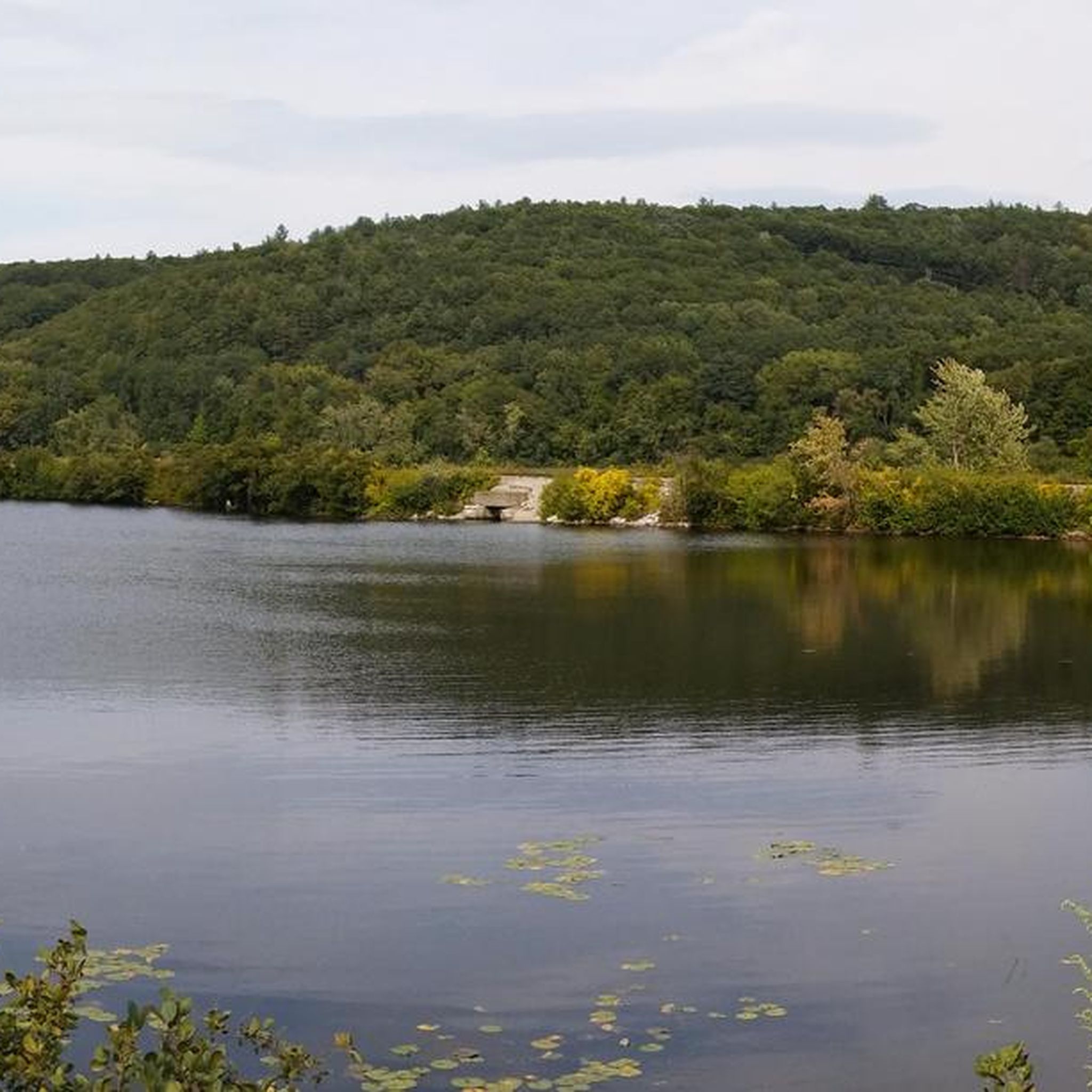
A place of tranquility. Weatherhead Hollow pond is the ideal place to relax yourself and embrace some of the nature finest gifts: the soothing of the mind with smooth sound. The pond has a parking on the south end, which allows you to bring your non-motor sailing vehicle and float on its waters.
0
0
A place of tranquility. Weatherhead Hollow pond is the ideal place to relax yourself and embrace some of nature's finest gifts: the soothing of the mind with smooth sound. The pond has parking on the south end, which allows you to bring your non-motor sailing vehicle and float on its waters. The views of the mountains and the forest are the ones you desire to find on your probably chilled bike touring adventure. Don't miss the opportunity to immortalize the scene.
0
0
Feel yourself hovering over Sawyer Pond as you fly on Old Vernon Road. The brown fallen leaves of autumn make this place picture-worthy.
0
0

Sawyer Pond lies on both sides of Old Vernon Road. This is a pretty spot to ride by because you are surrounded by water on both sides.
0
0

Cushman Park, being right next to the Darwin Scott Wildlife Management Area, provides a green space for the public to enjoy. The park was donated back in 1908, and the adjacent Darwin Scott Wildlife Management Area provides 27.92 acres of explorable space. Cushman Park is an important part of the community, with local events and art displays happening here quite often.
0
0

Trailhead with parking that lets you choose whether to take the paths that bring you east to Pisgah State Forest or west to Daniels Mountain. In the high season it can get busy, so make sure to get there early to get a parking spot.
0
0

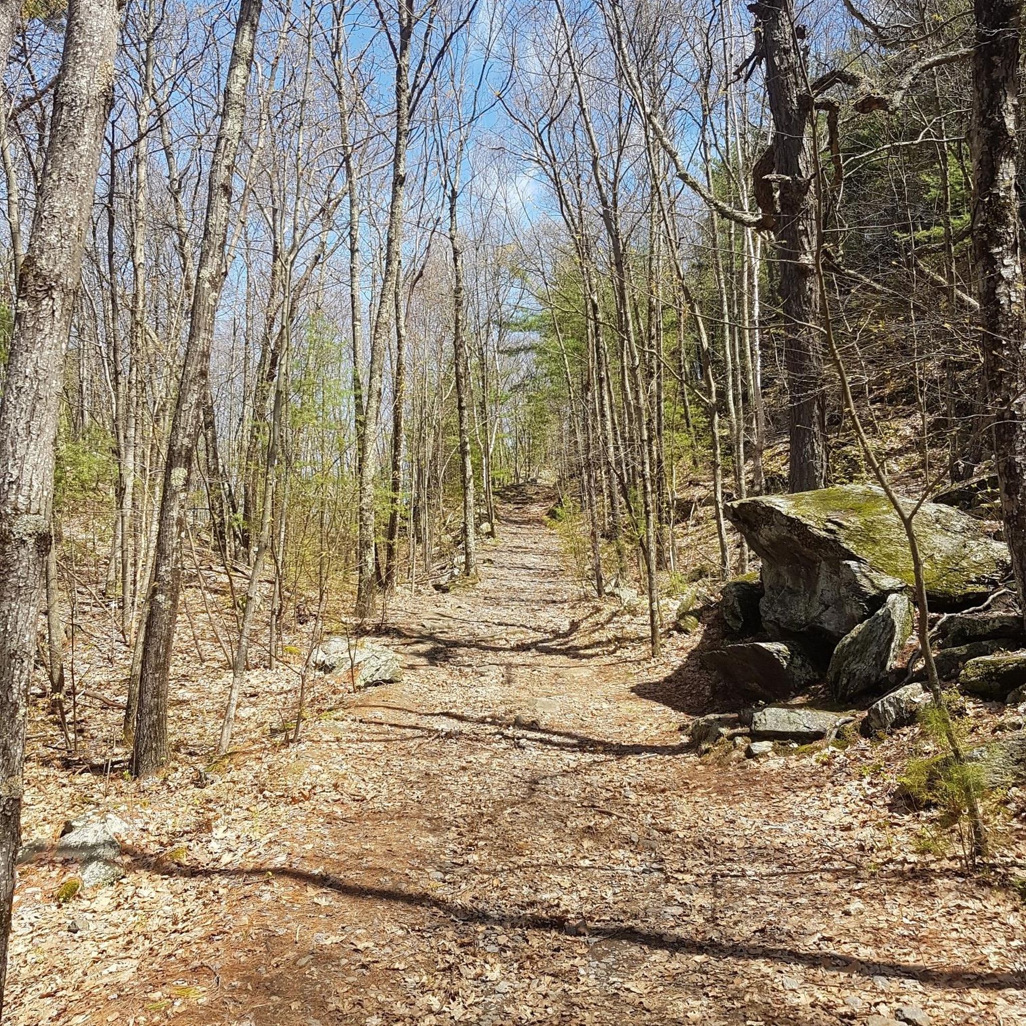
The Native Americans of the region used to call the West River "Wantastiquet" which means "waters of the lonely way”. The Wantastiquet Trail is connected to both the mountains and the West River. This path was an important link that connected Fort Drumner and the Green Mountains.
0
0

You park near the marina at the southern end of Spring Tree Road in a large gravel lot by the river. From here you follow the river north on the road to where it quickly becomes a bike path.
0
0
Frequently Asked Questions
How many road cycling routes are available in West Brattleboro, and what are their difficulty levels?
There are 13 road cycling routes available around West Brattleboro. The majority are moderate, with 12 routes falling into this category. There is also 1 difficult route for experienced cyclists seeking a greater challenge.
Are there any easy road cycling routes suitable for beginners in West Brattleboro?
While there are no routes officially classified as 'easy' in West Brattleboro, the region offers 12 moderate routes that can be suitable for beginners looking to gradually increase their skill. These routes feature varied terrain with moderate elevation changes.
Where can I find challenging road cycling routes around West Brattleboro?
For a challenging ride, consider the West River overlook – Newfane Store loop from Brattleboro. This route covers 58.6 miles (94.3 km) and features significant elevation changes, leading through river valleys and past the West River overlook.
Are there road cycling routes around West Brattleboro that are between 20 and 30 miles long?
Yes, there are routes within that distance range. For example, the Roadbike loop from Dutton Pines State Forest Park is a moderate 28.4 miles (45.7 km) ride, offering a good option for a shorter outing.
What scenic viewpoints or landmarks can I explore along the road cycling routes in West Brattleboro?
Many routes offer scenic views of the region's natural beauty. You might encounter views of Sawyer Pond on routes like Kilburn Trailhead – Sawyer Pond loop from Bear Mountain State Forest. Other notable points of interest in the broader area include the View of Vermont from Wantastiquet Mountain Stone Post and Madame Sherri House.
When is the best time of year for road cycling in West Brattleboro?
The best time for road cycling in West Brattleboro is typically from late spring through early fall (May to October). During these months, the weather is generally mild, and the roads are clear of snow and ice, offering pleasant riding conditions.
Are there specific routes recommended for experiencing fall foliage in West Brattleboro?
While specific 'fall foliage routes' are not designated, many of West Brattleboro's road cycling routes traverse dense forests and rural areas, making them ideal for experiencing the vibrant autumn colors. Routes like the Sawyer Pond – Cushman Park loop from Brattleboro offer a mix of open roads and scenic views that would be particularly beautiful during the fall.
Are the road cycling routes in West Brattleboro suitable for families?
The routes around West Brattleboro are predominantly moderate in difficulty, featuring rolling hills and some elevation changes. While there are no easy routes, families with some cycling experience and a willingness to tackle moderate terrain may find suitable options. Always check the route profile for elevation and distance before heading out.
Are there many loop road cycling trails in West Brattleboro?
Yes, many of the road cycling routes in West Brattleboro are designed as loops, offering convenient starting and ending points without needing to retrace your path. Examples include the Kilburn Trailhead – Sawyer Pond loop from Bear Mountain State Forest and the Weatherhead Hollow Pond – Cushman Park loop from Brattleboro.
Where can I find parking for road cycling routes in West Brattleboro?
Parking is generally available at common starting points for routes, such as trailheads or designated parking areas in nearby towns like Brattleboro. It's advisable to check specific route descriptions or local town information for the most convenient parking options near your chosen starting point.
Are there road cycling routes in West Brattleboro that pass by cafes or places to stop for refreshments?
Many routes in West Brattleboro pass through or near small towns and rural communities, which often have local stores or cafes where you can stop for refreshments. For instance, the West River overlook – Newfane Store loop from Brattleboro passes by the Newfane Store, a popular stop for cyclists.
Most popular routes around West Brattleboro
Most popular attractions around West Brattleboro

Get inspired with the komoot mobile app


Explore more
Browse the best Road cycling routes in other regions.
