The best walks and hikes around West Brattleboro
4.9
(6)
117
hikers
21
hikes
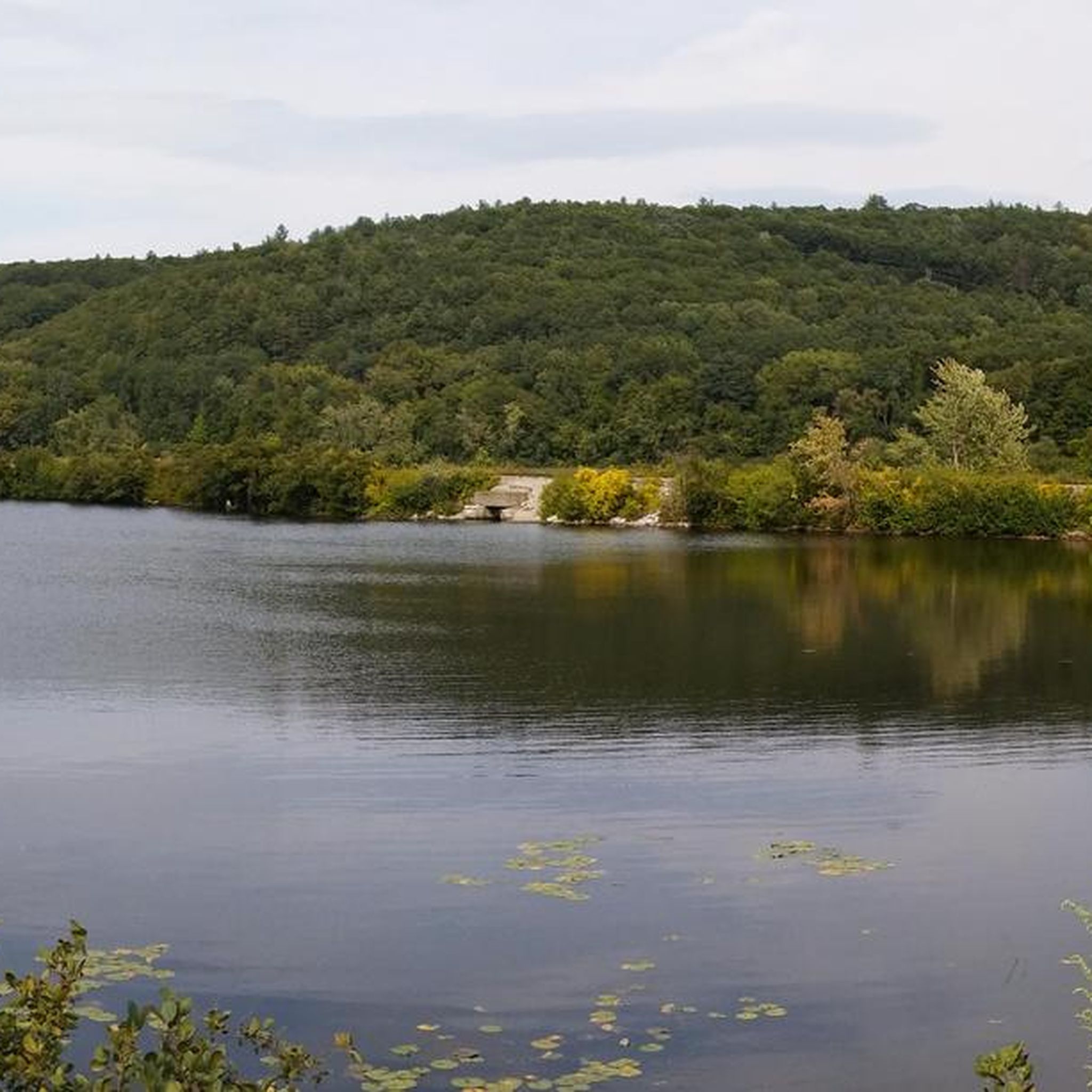
Hiking around West Brattleboro offers diverse natural features and extensive trail networks. The region is characterized by lush forests, rolling hills, and the presence of the Connecticut and West Rivers, providing a quintessential New England outdoor experience. Trail systems like the Retreat Trails and the West River Trail wind through varied terrain, from historic farmlands to river valleys. This landscape provides a mix of easy walks, moderate trails, and challenging hikes suitable for various skill levels.
Best hiking trails around…
Last updated: October 2, 2026
2.91km
00:45
20m
10m
Easy hike. Great for any fitness level. Easily-accessible paths. Suitable for all skill levels.
739m
00:15
10m
10m
Moderate hike. Great for any fitness level. Mostly accessible paths. Sure-footedness required.

993m
00:18
50m
0m
Easy hike. Great for any fitness level. Easily-accessible paths. Suitable for all skill levels.
5.0
(2)
35
hikers
6.20km
02:31
290m
290m
Moderate hike. Good fitness required. Mostly accessible paths. Sure-footedness required.
4.5
(2)
12
hikers
5.22km
01:46
260m
260m
Easy hike. Great for any fitness level. Easily-accessible paths. Suitable for all skill levels.
Get access to more routes and recommendations from other explorers.
Already have an account?
Our route recommendations are based on thousands of hikes, rides, and runs completed by other people on komoot.
Start today with a free account
Your next adventure awaits.
Popular around West Brattleboro


Tips from the Community

Clearing that gives a great view of the mountains and valleys in the area. It is a popular spot, so there is a good chance you will see others at the viewpoint.
1
0

The Native Americans of the region used to call the West River "Wantastiquet" which means "waters of the lonely way”. The Wantastiquet Trail is connected to both the mountains and the West River. This path was an important link that connected Fort Drumner and the Green Mountains.
0
0

The trees part to make way for outcroppings of stone at the summit which offer great views of the forest and north Brattleboro.
0
0
You can park up off of Rice Farm Road. Parking is limited, but the trail is beautiful and includes many water features.
0
0
The trail here is a beautiful forest path near an idyllic stream.
0
0
A ledge of triangular rocks just out into the sky on the crest of the mountain. The views from here are stunning, especially in autumn.
0
0

It's a nice challenge for any hiker with a rewarding view at the end.
0
0
The Native Americans of the region used to call the West River "Wantastiquet" which means "waters of the lonely way”. The Wantastiquet Trail is connected to both the mountains and the West River. This path was an important link that connected Fort Drumner and the Green Mountains.
0
0
Frequently Asked Questions
How many hiking trails are available in the West Brattleboro area?
There are over 15 hiking routes documented around West Brattleboro, offering a variety of experiences from easy walks to more challenging ascents. The komoot community has explored these trails over 100 times, providing an average rating of 5.0 stars.
Are there any easy or family-friendly hiking trails in West Brattleboro?
Yes, West Brattleboro offers several easy and family-friendly options. The Black Mountain loop — Black Mountain Natural Area is an easy 3.2-mile path exploring natural forests. Additionally, Fort Dummer State Park features three easy paths, including the Sunset and Sunrise loop trails, and the Broad Brook Trail which leads to a swimming hole. The Bonnyvale Environmental Education Center (BEEC) also provides 2 miles of trails suitable for families.
What are some trails with good views in the West Brattleboro region?
For sweeping views, consider the Wantastiquet Mountain Trail — Wantastiquet Mountain Natural Area. This moderate 3.9-mile route offers panoramic vistas of the Connecticut River Valley and Brattleboro from its summit. The Bonnyvale Environmental Education Center also provides sweeping views from Heifer Hill.
Are there any circular hiking routes in West Brattleboro?
Yes, several circular routes are available. The Black Mountain loop — Black Mountain Natural Area is an easy 3.2-mile circular path. Another option is the Daniels Mountain & Ann Stokes loop — Madame Sherri Forest, a 4.0-mile trail through varied forests. For a more challenging loop, the Wantastiquet Mountain & Monadnock Trails Loop – Madame Sherri Forest is a difficult 4.4-mile option.
What kind of natural features can I expect to see while hiking in West Brattleboro?
The West Brattleboro area is characterized by lush forests, rolling hills, and the presence of the Connecticut and West Rivers. You'll find diverse trail systems winding through historic farmlands, along river valleys, and up to scenic viewpoints. Features include majestic old maple trees, spring wildflowers, and opportunities for birdwatching, with ducks, geese, and bald eagles often spotted along the West River Trail.
What are some interesting landmarks or attractions near the hiking trails?
Hikers can explore several notable landmarks. The Madame Sherri House ruins are a popular historical site within the Madame Sherri Forest. You can also find the Wantastiquet–Monadnock Trailhead, which leads to the View of Vermont from Wantastiquet Mountain Stone Post. Fort Dummer State Park is also a historic site, marking Vermont's first permanent white settlement.
What is the best time of year to hike in West Brattleboro?
West Brattleboro offers a quintessential New England outdoor experience year-round. Spring brings blooming wildflowers, while summer provides lush green forests. Autumn is particularly popular for its vibrant fall foliage. Winter offers opportunities for Nordic skiing and snowshoeing on trails like the Retreat Trails and Whetstone Woods, though some trails may have seasonal conditions to consider.
Are there any dog-friendly hiking trails in the area?
Many trails in the West Brattleboro area are dog-friendly, though it's always recommended to check specific park or trail regulations before heading out. Generally, trails like those at the Retreat Trails, West River Trail, and Bonnyvale Environmental Education Center welcome leashed dogs. Always ensure your dog is under control and clean up after them.
Where can I find parking for hiking trails in West Brattleboro?
Parking is generally available at trailheads for popular areas. For instance, the West River Trail has access points in Brattleboro with parking. The Retreat Trails, Bonnyvale Environmental Education Center, and Fort Dummer State Park also typically offer designated parking areas for visitors. Specific parking details can often be found on individual trail or park websites.
Are there any trails suitable for winter hiking or snowshoeing?
Yes, West Brattleboro is excellent for winter activities. The Retreat Trails are popular for Nordic skiing and snowshoeing, with some paths over a century old. Whetstone Woods also welcomes snowshoers on its short birding trail. Always check local conditions and dress appropriately for winter weather.
What is the typical elevation gain on trails around West Brattleboro?
Elevation gain varies significantly across the region. Easy trails like sections of the West River Trail are nearly level. Moderate routes, such as the Wantastiquet Mountain Trail, involve an ascent of around 964 feet (294 meters). More challenging hikes, like the Wantastiquet Mountain & Monadnock Trails Loop, can have over 1000 feet (300 meters) of elevation gain.
Are there any trails that follow rivers or have water features?
Yes, the region is defined by the presence of the Connecticut and West Rivers. The 36-mile West River Trail follows the West River Valley, offering scenic views along the water. The Hogle Wildlife Sanctuary also features a one-mile walking trail that hugs the water, leading to a bird sanctuary. Whetstone Woods includes a brook and wetlands within its 39 acres.
What do other hikers say about the trails in West Brattleboro?
The trails in West Brattleboro are highly rated by the komoot community, with an average score of 5.0 stars from over 4 reviews. Hikers often praise the diverse natural features, lush forests, and the variety of options for different skill levels, from peaceful walks to challenging ascents with rewarding views.
Most popular routes around West Brattleboro
Most popular attractions around West Brattleboro

Get inspired with the komoot mobile app


Explore more
Browse the best Hikes in other regions.
