The best MTB trails around Cottonwood Heights
4.1
(8)
810
riders
28
rides
Mountain biking around Cottonwood Heights offers access to diverse landscapes at the base of the Wasatch Mountains. The region is characterized by its canyons, including Big Cottonwood Canyon and Little Cottonwood Canyon, which provide a network of trails. This geographical position, often referred to as the "City between the canyons," features varied terrain suitable for mountain biking. The area includes access to the Bonneville Shoreline Trail and other routes that traverse hills and canyons.
Best mountain bike trails around Cottonwood…
Last updated: June 28, 2026
111
riders
30.2km
03:02
680m
680m
Moderate mountain bike ride. Good fitness required. Advanced riding skills necessary.
66
riders
50.1km
04:44
1,530m
1,530m
Hard mountain bike ride. Very good fitness required. Advanced riding skills necessary. Some portions of the route may require you to push your bike.

Sign up for free
22
riders
24.8km
02:13
540m
540m
Moderate mountain bike ride. Good fitness required. Suitable for all skill levels.
20
riders
19.0km
01:35
400m
400m
Moderate mountain bike ride. Good fitness required. Advanced riding skills necessary.
13
riders
16.8km
01:29
400m
400m
Moderate mountain bike ride. Good fitness required. Advanced riding skills necessary.
Get access to more routes and recommendations from other explorers.
Sign up for free
Already have an account?
Our route recommendations are based on thousands of hikes, rides, and runs completed by other people on komoot.
Start today with a free account
Your next adventure awaits.
Login or Signup
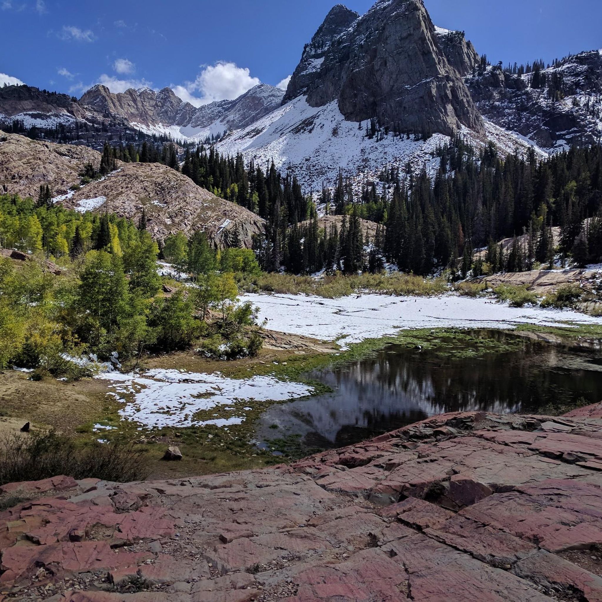
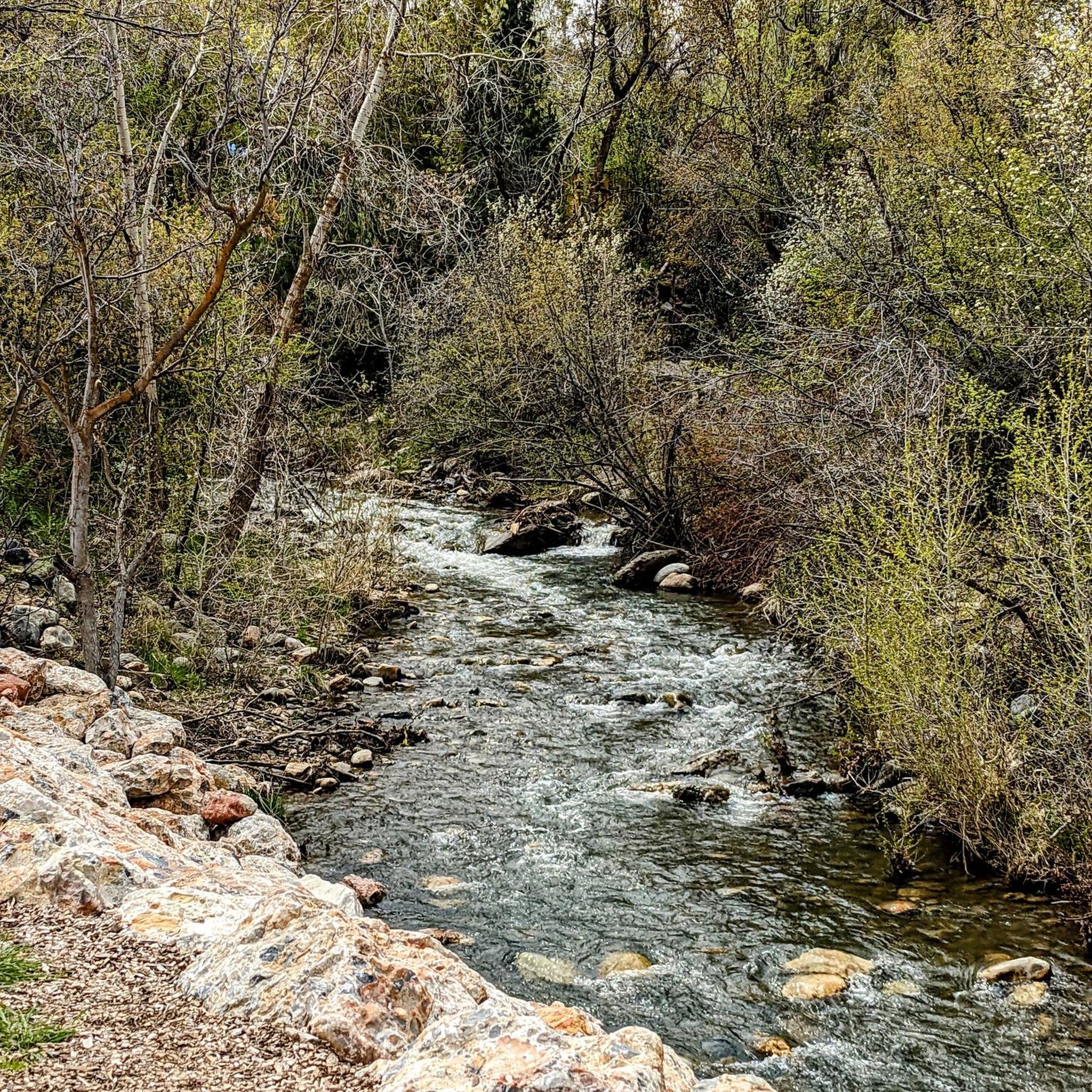

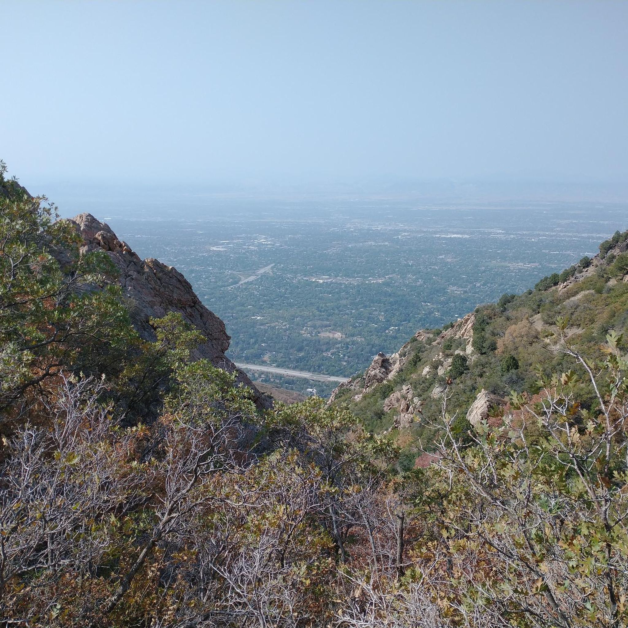
Tips from the Community

Amazing view of the mountains from the trailhead. A lot of trail that start here.
0
0
Few hikes from this Trailhead. The most popular one is the Lower Bells canyon
0
0

The climb from Wasatch Blvd to the Pipeline Overlook is about 1100ft in 3.3 miles. A flatter ride is to park up Millcreek and hop on the Pipeline trail for an out and back. But the climb is worth it.
0
0

This suspension bridge spans about 185 feet across a draw in the Bonneville Shoreline Trail. Dogs are allowed on leash, and you might see bikers on the trail as well.
1
0
Not quite a literal tunnel, but it'll feel that way as you squeeze through the fairly low gap between huge boulders.
0
0

Steeped in local history, Parleys Canyon pays homage to 19th century pioneer Parley P. Pratt’s surveying of this mountain pass route to Salt Lake Valley. Rugged yet picturesque terrain makes his namesake canyon a challenging ride featuring rewarding valley and peak vistas.
0
0
This 2.2 million-acre national forest stretches through northern Utah and into southwestern Wyoming; this section abuts (and incorporates) the rugged beauty of Mount Olympus Wilderness to the south.
1
0
This is just one small section of the Wasatch Crest Trail, a 12-mile ridge run that's guaranteed to satisfy anyone who loves alpine running.
1
0
Frequently Asked Questions
How many mountain bike trails are available in Cottonwood Heights?
There are over 25 mountain bike trails around Cottonwood Heights, offering a variety of experiences for different skill levels. The area is known for its access to the Wasatch Mountains and the canyons.
What are the typical difficulty levels for mountain bike trails in Cottonwood Heights?
The mountain bike trails in Cottonwood Heights primarily range from moderate to difficult. There are 19 moderate routes and 10 difficult routes available, with no easy trails listed in the current selection. This means most trails will offer a good challenge for riders.
Are there any family-friendly mountain bike trails in Cottonwood Heights?
While the listed routes are predominantly moderate to difficult, the region offers diverse terrain. For families looking for less strenuous options, the Bonneville Shoreline Trail, accessible from Cottonwood Heights, includes features like the Bear Canyon suspension bridge and is generally suitable for various skill levels, though specific family-friendly segments would need local verification.
What natural features or landmarks can I see while mountain biking in Cottonwood Heights?
You can encounter several notable natural features. The Iron bridge – Bear Canyon suspension bridge loop from Hidden Valley Park features the prominent Bear Canyon suspension bridge. Other routes might offer views of the Wasatch Mountains, and you could potentially access areas near Lake Blanche or Mount Olympus, which are significant landmarks in the region.
Are there any loop trails for mountain biking in Cottonwood Heights?
Yes, many of the mountain bike routes in Cottonwood Heights are loops. Examples include the Iron bridge – Bear Canyon suspension bridge loop from Hidden Valley Park, the challenging Dog Lake – Desolation Lake loop from Skyline High School, and the Maple Hollow Trailhead Park – Iron bridge loop from Hidden Valley Park.
What is the best time of year for mountain biking in Cottonwood Heights?
The best time for mountain biking in Cottonwood Heights is typically during the warmer months, from late spring through early autumn, when trails are clear of snow. The region's canyons and mountain trails are ideal for riding during this period. Some ski resorts in the area, like Snowbird and Solitude, also offer lift-served mountain biking during the summer.
Is parking available at the trailheads in Cottonwood Heights?
Yes, many mountain bike routes in Cottonwood Heights start from locations with parking. For example, the Iron bridge – Bear Canyon suspension bridge loop and the Maple Hollow Trailhead Park – Iron bridge loop both start from Hidden Valley Park, which typically has parking facilities. Other routes may start from areas like Skyline High School or specific trailheads.
Can I access mountain bike trails in Cottonwood Heights using public transport?
Cottonwood Heights has convenient access to the Wasatch Mountains, and while specific public transport links directly to every trailhead for mountain biking might vary, the city itself is well-connected. For detailed public transport options to specific trailheads, it's advisable to check local transit schedules.
Are there any permits required for mountain biking in Cottonwood Heights?
Generally, permits are not required for mountain biking on most public trails in the Cottonwood Heights area. However, it's always a good practice to check for any specific regulations or restrictions that might apply to certain protected areas or private lands, especially within the canyons or near ski resorts.
What do other mountain bikers say about the trails in Cottonwood Heights?
The mountain bike routes in Cottonwood Heights are highly regarded by the komoot community, with an average rating of 3.0 stars. Over 380 mountain bikers have explored the varied terrain, often praising the diverse landscapes and challenging rides available at the base of the Wasatch Mountains.
Are there any waterfalls accessible by mountain bike in the area?
Yes, the region features natural attractions like Bells Canyon Lower Falls. While not directly on a listed mountain bike route, it is a notable natural feature in the vicinity that could be explored in conjunction with a ride or as a separate activity.
How long do mountain bike rides typically take in Cottonwood Heights?
Mountain bike rides in Cottonwood Heights can vary significantly in duration depending on the route and your pace. For example, a moderate route like the Iron bridge – Bear Canyon suspension bridge loop (30.2 km) typically takes around 3 hours 2 minutes, while a more challenging route such as the Dog Lake – Desolation Lake loop (50.1 km) can take approximately 4 hours 43 minutes.
Are there options for more challenging mountain bike rides in Cottonwood Heights?
Absolutely. Cottonwood Heights offers several challenging mountain bike routes, with 10 trails classified as difficult. A prime example is the Dog Lake – Desolation Lake loop from Skyline High School, which is a difficult 50.1 km path featuring significant elevation gain and connecting two scenic alpine lakes.
Most popular attractions around Cottonwood Heights

Get inspired with the komoot mobile app


Explore more
Browse the best MTB trails in other regions.
