The best road cycling routes around Brushy Creek
4.7
(46)
927
riders
106
rides
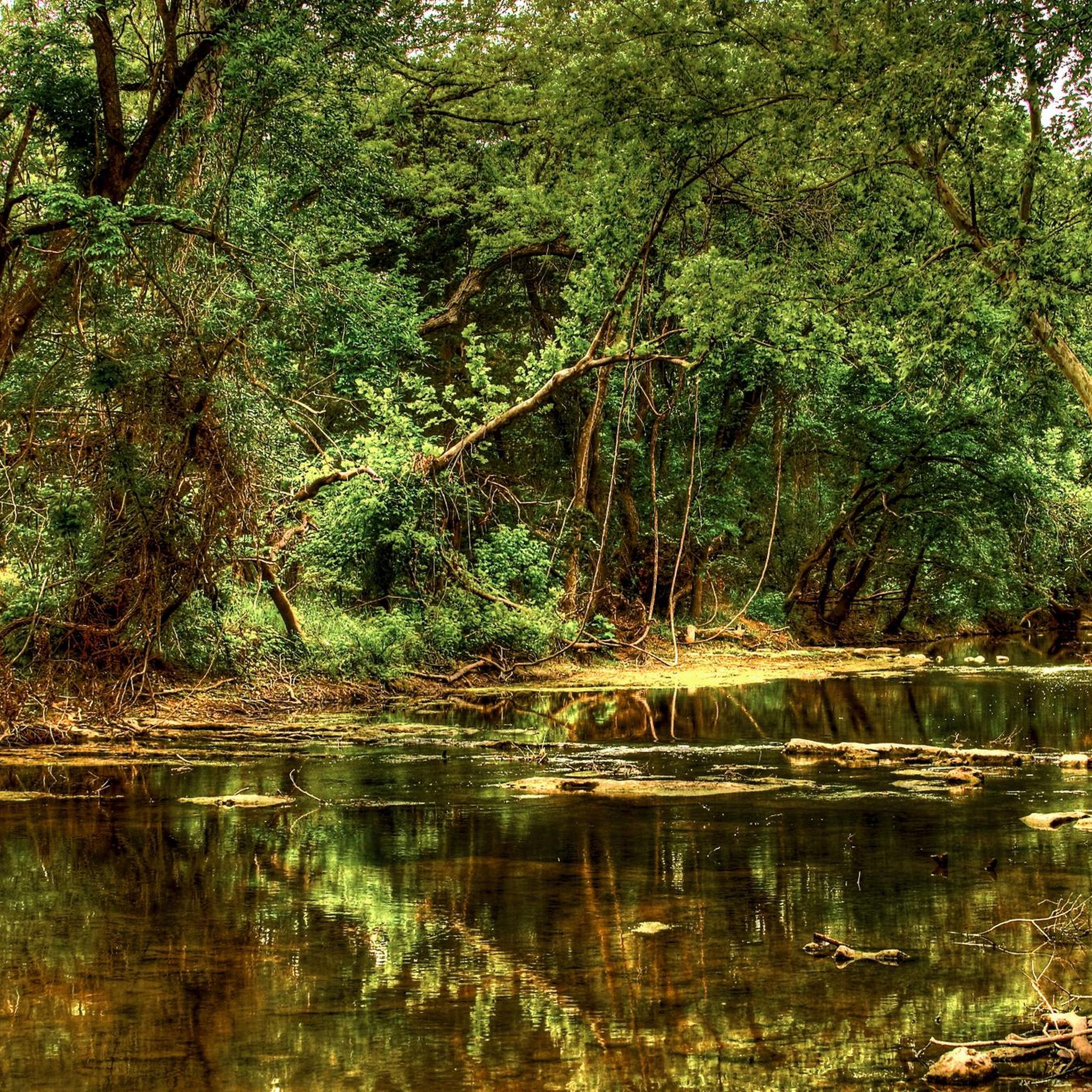
Road cycling around Brushy Creek, Texas, features an extensive trail system, primarily centered around the Brushy Creek Regional Trail. The terrain consists largely of mostly concrete multi-use paths, providing smooth surfaces for cycling. The region is characterized by wooded areas, open spaces, and creekside forests, with routes often following the Brushy Creek itself. Elevation changes are generally gentle, making it accessible for various fitness levels.
Best road cycling routes around Brushy Creek
- The most popular road cycling route is Brushy Creek Trail – Twin Lakes Lower Pool loop from Saint Vincent de Paul Catholic Church, a 21.6 miles (34.7 km) trail that takes 2 hours 25 minutes to complete, connecting various parks and communities through wooded areas.
- Another top favourite among local road cyclists is Brushy Creek Trail loop from Brightwater Park, a moderate 11.5 miles (18.6 km) path. This route offers scenic views as it meanders alongside the creek and through natural landscapes.
- Local road cyclists also love the Sharon Prete Main Street Plaza – Creekside Park loop from Brightwater Park, a 23.3 miles (37.5 km) trail leading through residential communities and alongside the creek, often completed in about 2 hours 7 minutes.
- Road cycling around Brushy Creek is defined by multi-use paths, creekside forests, and open spaces. The network offers options for easy, moderate, and difficult routes, catering to different ability levels.
- The routes in Brushy Creek are highly rated by the komoot community with an average score of 4.5 stars from more than 20 reviews. More than 900 road cyclists have used komoot to explore Brushy Creek's varied terrain.
Last updated: October 4, 2026
5.0
(3)
56
riders
Moderate road ride. Good fitness required. Some segments of this route may be unpaved and difficult to ride.
10
riders
Moderate road ride. Good fitness required. Some segments of this route may be unpaved and difficult to ride.

10
riders
Moderate road ride. Good fitness required. Mostly well-paved surfaces and easy to ride.
10
riders
40.5km
01:47
260m
260m
Moderate road ride. Great for any fitness level. Some segments of this route may be unpaved and difficult to ride.
8
riders
20.3km
00:53
120m
120m
Easy road ride. Great for any fitness level. Mostly well-paved surfaces and easy to ride.
Get access to more routes and recommendations from other explorers.
Already have an account?
Our route recommendations are based on thousands of hikes, rides, and runs completed by other people on komoot.
Start today with a free account
Your next adventure awaits.


Tips from the Community

Good place, good route
0
0

Along the Brushy Creek Regional Trail, a small but scenic waterfall can be seen from a footbridge. It’s a peaceful spot to pause during your ride to cool off by the water.
0
0

The Southwest Regional Park and Preserve is one of the most popular spots for gathering and recreational play in Williamson County. Along with the sporting fields, football stadium, running track, picnic areas, playgrounds, splash pad, and railroad, there is a network of grass, dirt, and crushed gravel paths open to hiking, running, and biking.
0
0

It's a nice place to escape the hustle and bustle of the city and just get some exercise. Parking is free.
0
0

This bridge takes you over a portion of the Spanish Oak Creek, one of the main features of this park. From the bridge, you'll enjoy water views surrounded by lush greenery, making it a perfect spot to slow down and appreciate nature and the diverse wildlife you may see along your run.
0
0
The Cedar Park Sculpture Garden features a paved walking path around the pond formed by Spanish Oak Creek. As the name suggests, there are sculptures, plants, and benches lining the trail along with informational plaques and plenty of green space. The trail passes under the bridge and forms a loop with a couple different parking areas offering access to the property.
0
0
This trail runs for about 8 miles on a mostly paved path. It offers scenic views of lush green scenery and several bridge crossings as you meander along Brushy Creek.
0
0
This spot offers a view of a small waterfall that branches off Brushy Creek. A nice bridge provides open views of the area, making it a perfect place to take a break and relax in the beauty of the surroundings.
0
0
Frequently Asked Questions
How many road cycling routes are available in Brushy Creek?
There are over 100 road cycling routes around Brushy Creek, offering a wide variety of options for different skill levels and preferences. The komoot community has explored 104 routes in total.
What kind of terrain can I expect on road cycling routes in Brushy Creek?
The road cycling routes in Brushy Creek primarily feature a mix of mostly concrete multi-use paths, with some sections of crushed stone. This provides a smooth surface for cycling through wooded areas, creekside forests, and open spaces, largely uninterrupted by car traffic.
Are there routes suitable for beginners or families in Brushy Creek?
Yes, Brushy Creek offers many routes suitable for beginners and families. There are 38 easy routes available, characterized by gentle elevation changes and well-maintained paths. The Brushy Creek Trail loop from Brightwater Park is a moderate 11.5-mile path that offers scenic views and is popular among local cyclists.
What are some scenic spots or natural features to look out for along the cycling routes?
Cyclists can enjoy diverse natural beauty along the routes, including creekside forests and open spaces. A notable natural feature is a small but scenic waterfall at Twin Lakes Park, visible from a footbridge. The trails also meander along Brushy Creek itself, providing peaceful views.
Are there any interesting landmarks or attractions along the Brushy Creek Regional Trail?
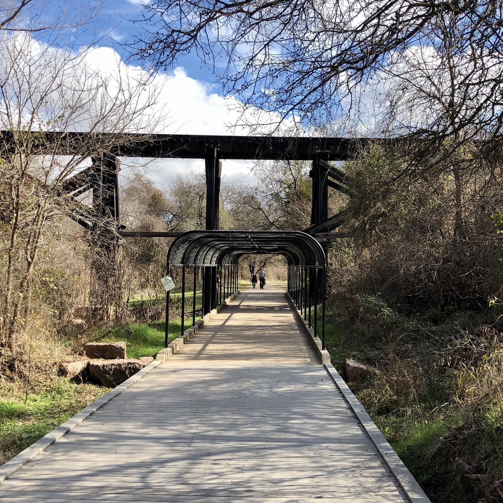
Yes, the Brushy Creek Regional Trail connects to several parks and features. You can pass by the historic railroad bridge dating back to the 1880s, and access parks like Twin Lakes Park, Brushy Creek Sports Park, and the 90-acre Brushy Creek Lake Park. The Cedar Park Sculpture Garden is also a nearby point of interest.
What amenities are available along the Brushy Creek Regional Trail for cyclists?
The Brushy Creek Regional Trail is well-equipped with amenities for cyclists. You'll find water and restroom services at various points, as well as several rest and play areas. Parks along the trail, such as Brushy Creek Lake Park, offer additional facilities like playgrounds, picnic areas, and exercise stations.
Where can I find parking for road cycling routes in Brushy Creek?
Parking is generally available at the various parks connected by the Brushy Creek Regional Trail. For instance, you can find parking at Twin Lakes Park, Brushy Creek Sports Park, and Brushy Creek Lake Park, which serve as convenient access points to the trail system.
What do other road cyclists enjoy most about cycling in Brushy Creek?
The area is highly rated by the komoot community, with an average score of 4.5 stars from over 20 reviews. Reviewers often praise the extensive, well-maintained trail system, the smooth concrete paths, and the scenic views through wooded areas and alongside the creek that make for a pleasant and accessible cycling experience.
Are there any longer or more challenging road cycling routes in the area?
While many routes are moderate, there are options for longer rides. For example, the Bicycle Sport pro shop loop from Vista Ridge High School is a moderate 25.1-mile route. For a significantly longer ride, the North walnut creek trail – Twin Lakes Lower Pool loop from Cedar Rock Railroad covers over 40 miles with more elevation gain.
Can I find loop routes for road cycling in Brushy Creek?
Yes, many of the road cycling routes in Brushy Creek are designed as loops, allowing you to start and end at the same point. Popular examples include the Brushy Creek Trail – Twin Lakes Lower Pool loop from Saint Vincent de Paul Catholic Church and the Sharon Prete Main Street Plaza – Creekside Park loop from Brightwater Park.
Is public transport available to access the Brushy Creek cycling trails?
While the Brushy Creek Regional Trail is well-connected to residential communities, direct public transport options specifically for accessing the trailheads might be limited. It's advisable to check local transit services for routes that may connect to the surrounding areas or parks like Brushy Creek Lake Park for the most convenient access.
Are dogs allowed on the road cycling trails in Brushy Creek?
The Brushy Creek Regional Trail is a multi-use path, and generally, leashed dogs are permitted. However, it's always best to observe specific park rules and signage, especially in designated recreational areas, to ensure a pleasant experience for all users.
Most popular attractions around Brushy Creek

Get inspired with the komoot mobile app


Explore more
Browse the best Road cycling routes in other regions.
