The best walks and hikes around Brushy Creek
4.7
(20)
639
hikers
63
hikes
Hikes around Brushy Creek primarily follow the course of the creek itself, winding through a corridor of parks and natural landscapes. The terrain is mostly flat and consists of a network of paved and crushed stone paths that pass through serene creekside forests. The area also features small lakes, marshes, and some exposed rock formations.
Best hiking trails around Brushy Creek
- The most popular hiking route is Jim Rodgers Trail loop — Southwest Regional Park & Preserve, a 3.3 mile (5.3 km) trail that takes about 1 hour 20 minutes to complete. This easy route follows a path through the Southwest Regional Park & Preserve.
- Another top favourite among local hiking enthusiasts is Heritage Trail — Round Rock, an easy 3.0 mile (4.9 km) path. The trail offers a straightforward walk with minimal elevation change, suitable for most abilities.
- Local hiking enthusiasts also love the Lake Creek Loop Trail — Brushy Creek Lake Park, a 1.0 mile (1.6 km) trail leading through Brushy Creek Lake Park, often completed in about 25 minutes.
- Hiking around Brushy Creek is defined by creekside forests, paved multi-use paths, and small lakes. The extensive trail network provides options for different ability levels, from short loops to longer routes connecting multiple parks.
- The routes in Brushy Creek are highly rated by the komoot community with an average score of 4.9 stars from over 10 reviews. More than 350 hikers have used komoot to explore Brushy Creek's varied terrain.
Last updated: October 11, 2026
13.0km
03:20
70m
30m
Hike the 8.1-mile Brushy Creek Regional Trail in Williamson County, a moderate route with waterfalls, bluebonnets, and shaded paths.
8.12km
02:07
60m
50m
Hike the moderate 5.0-mile Firehouse to Red Horn Trail in Brushy Creek Regional Trail, featuring varied terrain and scenic views.

2.02km
00:31
10m
10m
Hike the easy 1.3-mile Heritage Trail in Chisholm Trail Crossing Park, featuring Creekside Park and a waterfall on Brushy Creek.
13
hikers
4.90km
01:15
20m
20m
Hike the easy 3.0-mile Heritage Trail in Round Rock, Texas, gaining 52 feet of elevation over 1 hour and 14 minutes.
5.0
(1)
9
hikers
5.34km
01:22
20m
20m
Hike the easy 3.3-mile Jim Rodgers Trail Loop in Southwest Regional Park, Leander, Texas, a dog-friendly singletrack route.
Get access to more routes and recommendations from other explorers.
Already have an account?
Our route recommendations are based on thousands of hikes, rides, and runs completed by other people on komoot.
Start today with a free account
Your next adventure awaits.


Tips from the Community

The Southwest Regional Park and Preserve is one of the most popular spots for gathering and recreational play in Williamson County. Along with the sporting fields, football stadium, running track, picnic areas, playgrounds, splash pad, and railroad, there is a network of grass, dirt, and crushed gravel paths open to hiking, running, and biking.
0
0

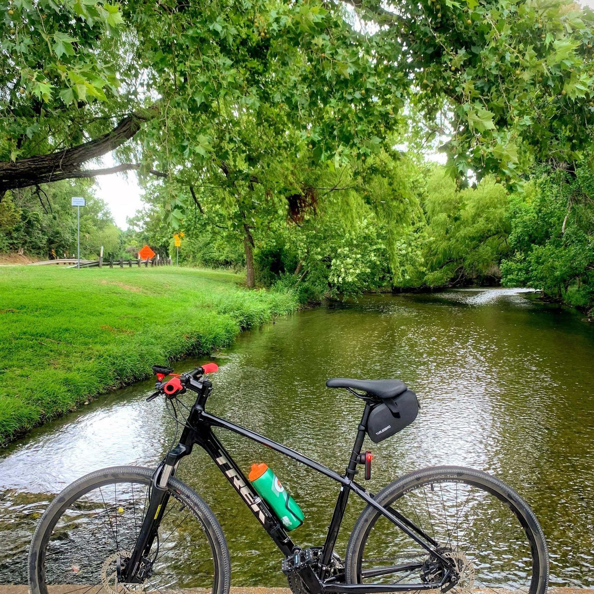
The park sits right next to Brushy Creek, a popular spot for kayaking and canoeing. While swimming isn't allowed in the creek at the park itself, the easy access makes it a great starting point for kayaking with beautiful water features, such as a small waterfall.
0
0
With pavilions, playgrounds, lakeside paths, cabins, and a load of other recreational offerings, Twin Lakes Park is a really popular park and trailhead in Cedar Park. The western terminus of the Brushy Creek Trail starts/ends on the north side of the water, and there are a number of other nature paths and commuter trails that convene here.
0
0
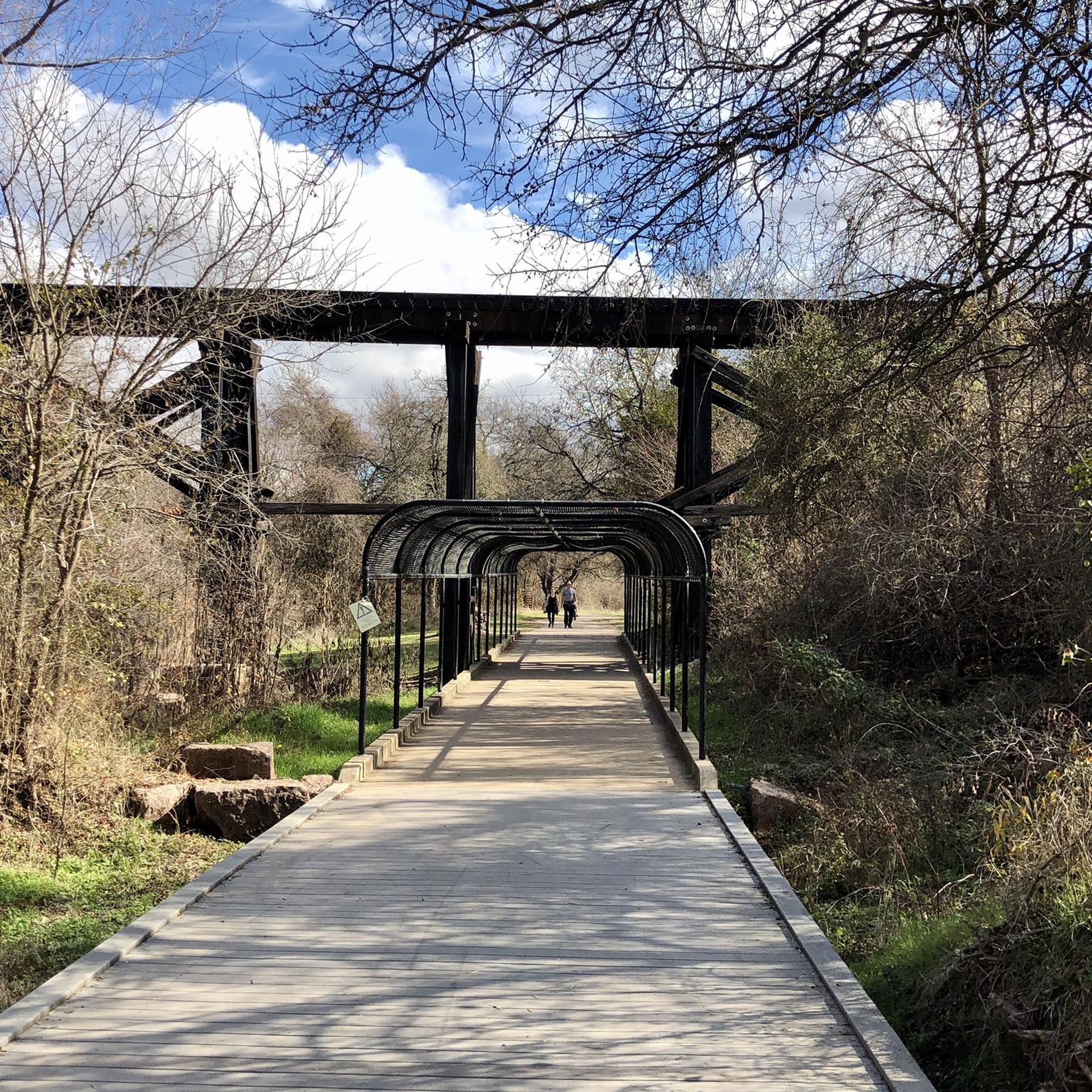
The trail winds alongside Brushy Creek, providing a scenic escape with the beauty of flowing water and lush greenery. The beginning of the trail leads you past the spot where the iconic “round rock” that gave Round Rock its name rests in the creek bed.
0
0
The park sits right next to Brushy Creek, a popular spot for kayaking and canoeing. While swimming isn't allowed in the creek at the park itself, the easy access makes it a great starting point for kayaking with beautiful water features, such as a small waterfall.
0
0
With pavilions, playgrounds, lakeside paths, cabins, and a load of other recreational offerings, Twin Lakes Park is a really popular park and trailhead in Cedar Park. The western terminus of the Brushy Creek Trail starts/ends on the north side of the water, and there are a number of other nature paths and commuter trails that convene here.
0
0
Brushy Creek Lake Park features multiple large pavilions, lots of open space, and a pretty big parking lot. There's easy trail access to get down to the water, too.
0
0
The Southwest Regional Park and Preserve is one of the most popular spots for gathering and recreational play in Williamson County. Along with the sporting fields, football stadium, running track, picnic areas, playgrounds, splash pad, and railroad, there is a network of grass, dirt, and crushed gravel paths open to hiking, running, and biking.
0
0
Frequently Asked Questions
Are dogs allowed on the trails in Brushy Creek?
Yes, dogs are generally welcome on the trails in the Brushy Creek area, but they should be kept on a leash. The paths are shared with cyclists and other walkers, so maintaining control of your dog is important for everyone's safety and enjoyment.
What are some good family-friendly or stroller-friendly hikes?
The Brushy Creek trail system is great for families. Many sections are paved, making them ideal for strollers. For a very short and easy walk, consider the Lake Creek Loop Trail — Brushy Creek Lake Park. It's only about a mile long and mostly flat. Parks along the trail, like Champion Park with its 'dino dig' sand pit, also offer fun stops for children.
Where are the best places to park to access the Brushy Creek trails?
There are several excellent access points with parking. Brushy Creek Lake Park and Twin Lakes Park are popular starting points with ample parking and amenities. For a well-regarded access point on the eastern side, you can start near Brushy Creek Trail East in Round Rock. Another popular trailhead is the Brushy Creek trail head off Staked Plains Loop in Austin.
What is the total length of the main Brushy Creek Regional Trail?
The main Brushy Creek Regional Trail is approximately 10.4 miles (about 16.7 km) long. It connects a series of parks between Cedar Park and Round Rock, offering options for both long-distance hikes and shorter walks within the individual parks.
What kind of trail surfaces should I expect?
The trails offer a mix of surfaces. The main Brushy Creek Regional Trail is mostly paved concrete, which is suitable for all abilities. However, you'll also find sections with crushed stone and some smaller, unpaved natural paths that branch off the main trail, especially closer to the creek.
Are there any challenging hikes in the area?
Most of the trails around Brushy Creek are rated as easy due to the relatively flat terrain along the creek. While you won't find significant elevation gain, you can create a more challenging day out by combining trail segments for a longer-distance hike of 10 miles or more.
What kind of scenery and wildlife can I see?
The trails follow Brushy Creek through shaded creekside forests. Along the way, you'll see small lakes, marshes, and interesting rock formations. Wildlife is abundant; it's common to spot deer, ducks, and geese. Near the Parmer Lane bridge, you can often see numerous great blue herons, especially around dusk.
Are there any circular or loop hikes available?
Yes, there are several loop trails available. A great option that takes you through a quieter greenbelt area is the Round Rock West Greenbelt — Round Rock, Texas. Many of the parks connected by the main trail also feature their own shorter loop paths.
What do other hikers say about the trails around Brushy Creek?
The area is highly rated by the komoot community. Hikers often praise the well-maintained, shaded paths and the beautiful scenery along the creek. The mix of paved and natural trails, along with the numerous parks and amenities, makes it a local favorite for outdoor activity.
Are there any historical points of interest along the trails?
Yes, the trail is rich with local history. You can find historical markers detailing the lives of early settlers. A notable landmark is a wooden railroad bridge from the 1880s, which was used to transport granite for the Texas State Capitol. The trail also passes near the original 'round rock' that gave the nearby city its name.
What amenities are available in the parks along the trail?
The parks connected by the trail system are very well-equipped. You can find restrooms, water fountains, picnic areas, playgrounds, and even splash pads in parks like Brushy Creek Lake Park and Champion Park. Some areas also offer fishing docks and kayak launches.
Most popular attractions around Brushy Creek

Get inspired with the komoot mobile app


Explore more
Browse the best Hikes in other regions.
