The best walks and hikes around Eschershausen-Forst
4.6
(5069)
16,462
hikers
22
hikes
Hiking trails around Eschershausen-Forst are situated within the Weserbergland region of Lower Saxony, Germany. The landscape is characterized by rolling hills, dense forests, and river valleys, forming part of the Solling-Vogler Nature Park. This area features a low mountain range primarily composed of Buntsandstein, including the Ith and Hils mountain ranges with their unique rocky formations. Hikers can explore diverse terrain ranging from open meadows to forested paths.
Best hiking trails around Eschershausen-Forst
- The most popular hiking route is Wilhelm…
Last updated: May 23, 2026
4.8
(62)
192
hikers
Moderate hike. Good fitness required. Easily-accessible paths. Suitable for all skill levels.
4.7
(24)
76
hikers
Hard hike. Very good fitness required. Easily-accessible paths. Suitable for all skill levels.

Sign up for free
4.7
(22)
80
hikers
Easy hike. Great for any fitness level. Easily-accessible paths. Suitable for all skill levels.
4.9
(7)
21
hikers
Easy hike. Great for any fitness level. Easily-accessible paths. Suitable for all skill levels.
4.5
(8)
27
hikers
Moderate hike. Good fitness required. Easily-accessible paths. Suitable for all skill levels.
Get access to more routes and recommendations from other explorers.
Sign up for free
Already have an account?
Our route recommendations are based on thousands of hikes, rides, and runs completed by other people on komoot.
Start today with a free account
Your next adventure awaits.
Login or Signup
Tips from the Community


The Waldgaststätte Roter Fuchs is located on the Hilskamm. Opening hours were not visible.
6
0
The Roter Fuchs hiking parking lot is located on the pass at the road between Holzen and Grünenplan. From here, many destinations in the Hils can be reached.
6
0
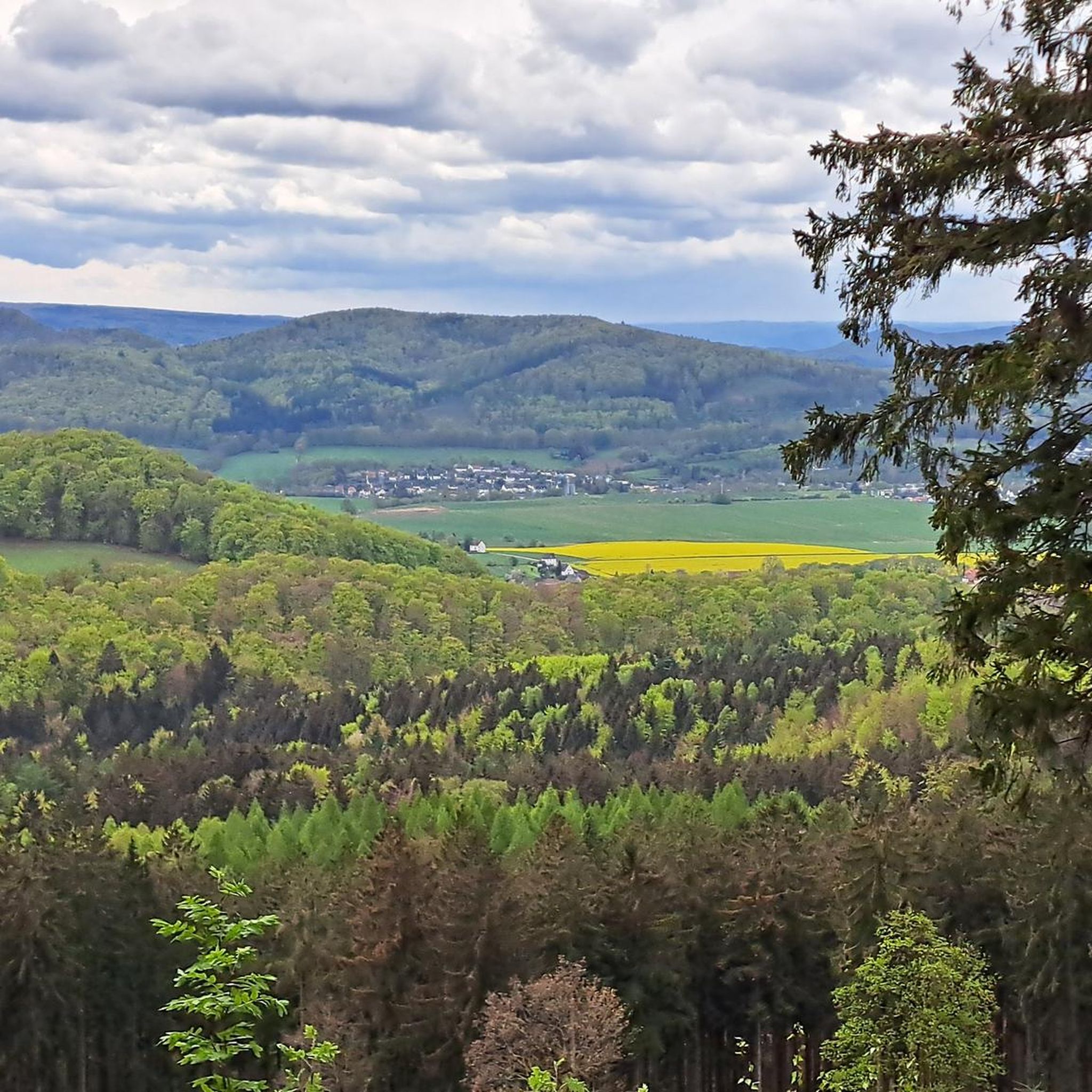
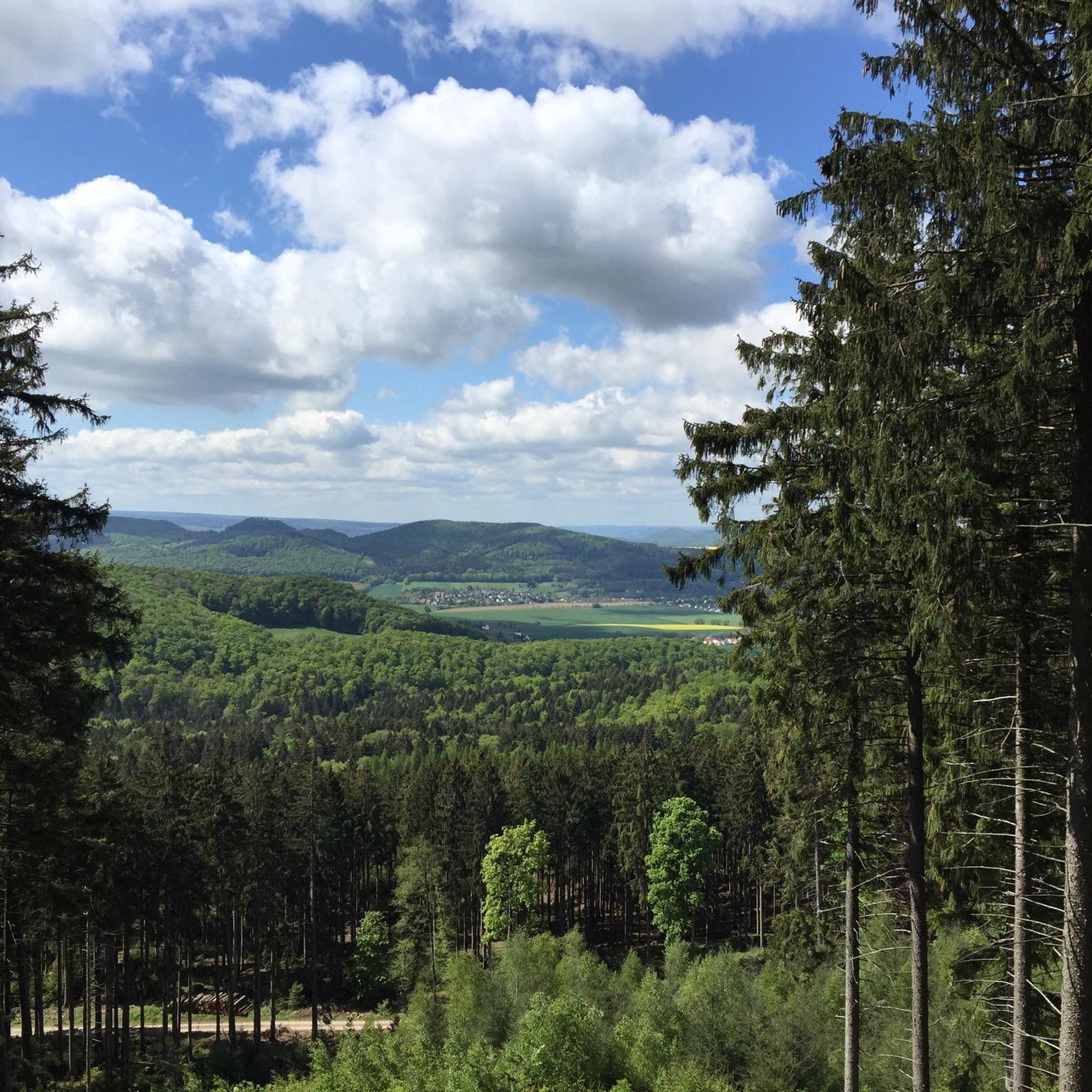
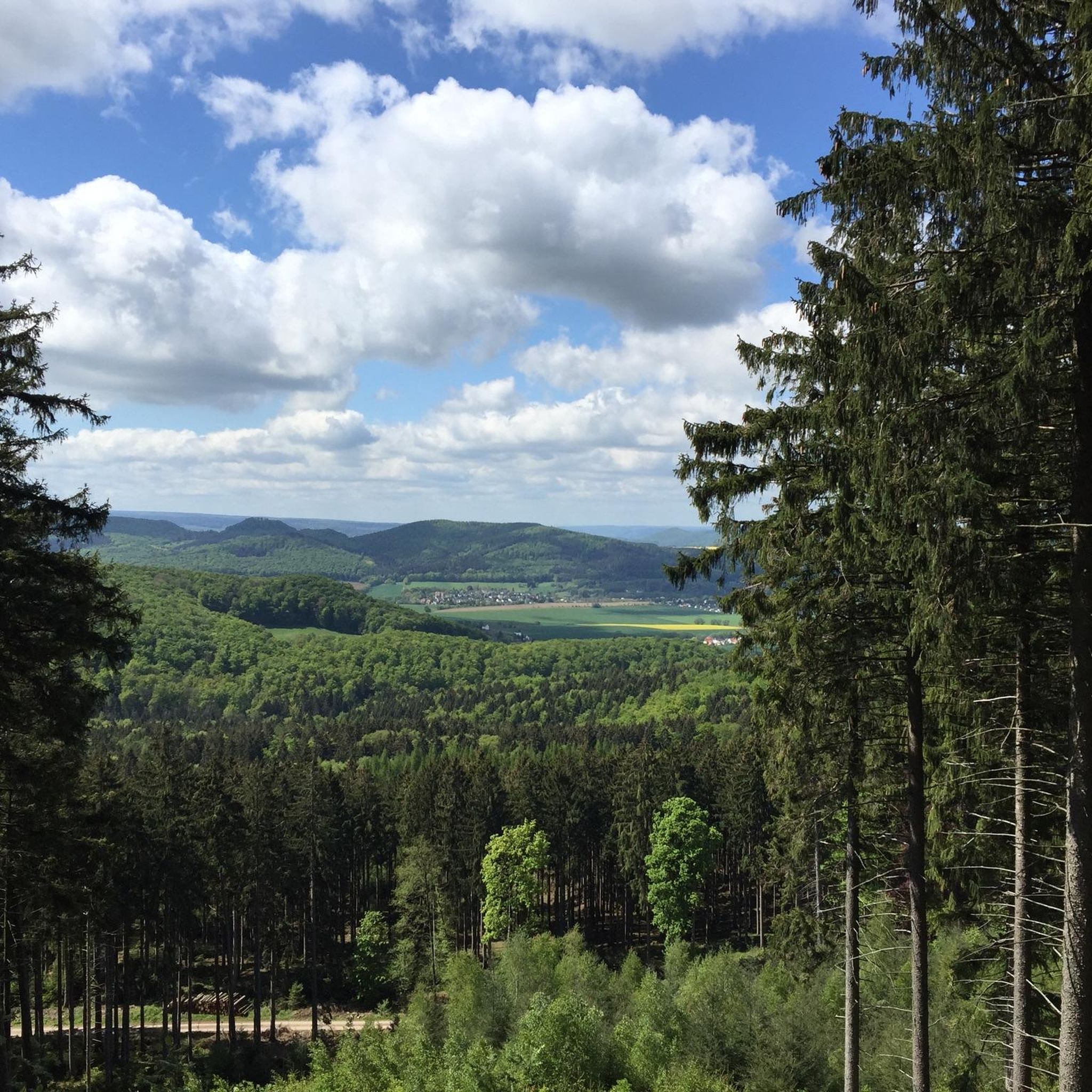
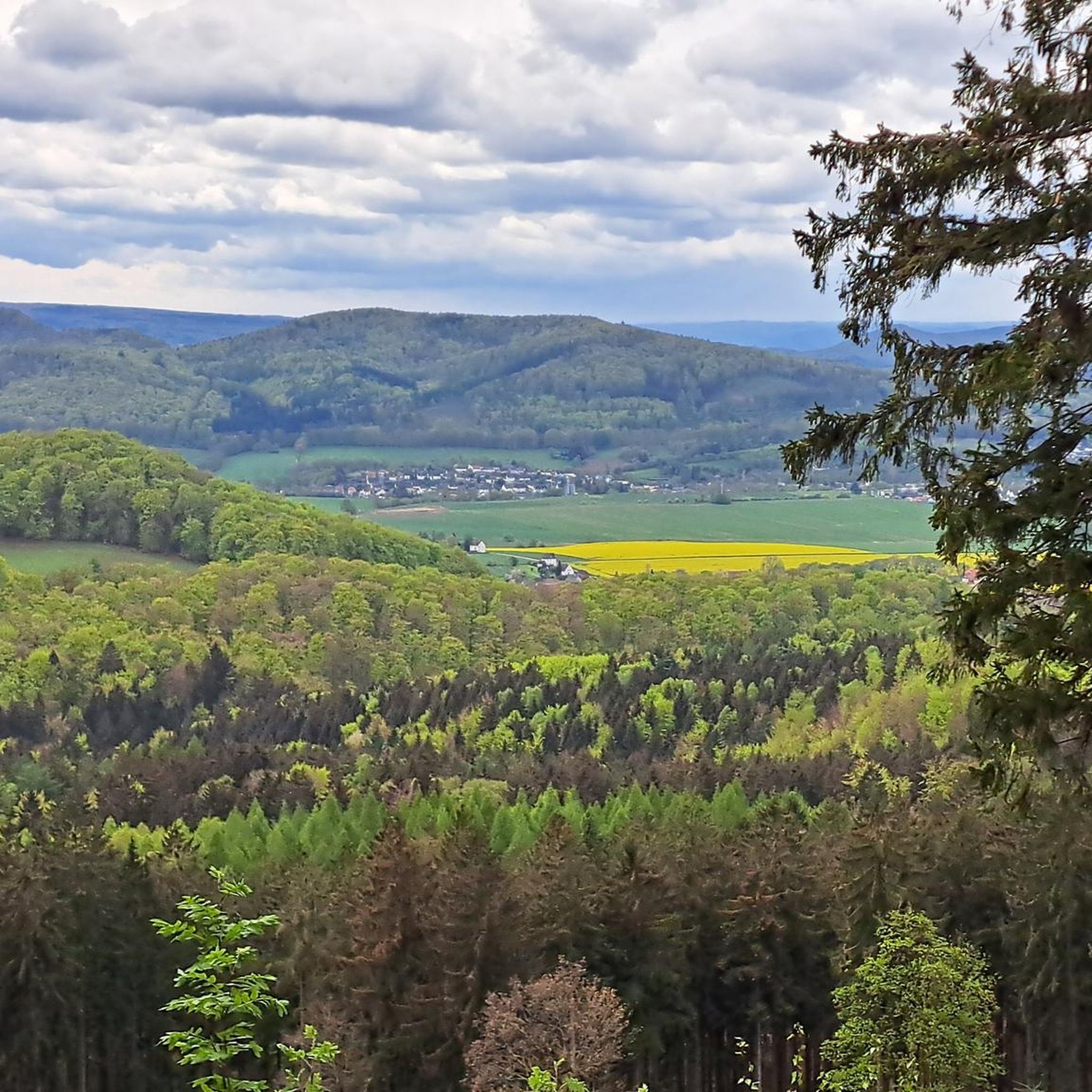
Just next to the Hilskammweg there is a beautiful view of Eschershausen.
8
0
The monument commemorates the poet Wilhelm Raabe, who was born in nearby Eschershausen. The observation tower located here also bears his name.
9
0
The 480 m high Bloße Zelle is the highest point of the Hils. An interesting place, but without a view due to afforestation.
8
0
Stamp fans will find their goal here. 😉
7
0
Frequently Asked Questions
What kind of terrain can I expect on the hiking trails around Eschershausen-Forst?
The region offers diverse terrain, characterized by rolling hills, dense forests, and river valleys. You'll encounter paths through the Solling-Vogler Nature Park, featuring a low mountain range primarily composed of Buntsandstein (Bunter sandstone). Expect varied surfaces from forest paths to open Ith meadows, and unique rocky landscapes in the Ith and Hils mountain ranges.
Are there hiking trails suitable for all skill levels in Eschershausen-Forst?
Yes, the area provides a range of trails for different abilities. Out of 22 available routes, 8 are classified as easy, 11 as moderate, and 3 as difficult. This ensures options from leisurely strolls to more challenging ascents.
What natural features and landmarks can I discover while hiking in Eschershausen-Forst?
Hikers can explore significant natural features like the Ith and Hils mountain ranges, known for their unique rock formations such as the Lüerdissen Cliffs. Notable landmarks and viewpoints include the Ebersnacken Tower, offering panoramic views, and the Homburg Castle Ruins. You can also find caves like Rothestein Cave.
Are there any circular hiking routes available in the area?
Yes, Eschershausen-Forst offers several circular routes. For example, the Wilhelm Raabe Tower – Firebreak Hut Viewpoint loop is a moderate 8.5 km trail. Another option is the Vogler View from Hilskamm – Wilhelm Raabe Tower loop, an easier 6.0 km path providing scenic vistas.
What is the best time of year to go hiking in Eschershausen-Forst?
The best seasons for hiking are typically spring and autumn. Spring brings blooming flora, while autumn transforms the landscape with vibrant fall foliage, offering particularly scenic experiences.
What do other hikers say about the trails in Eschershausen-Forst?
The routes in Eschershausen-Forst are highly rated by the komoot community, with an average score of 4.6 stars from over 2000 reviews. Hikers often praise the varied terrain, the scenic views from towers like the Wilhelm Raabe Tower, and the well-marked paths through forests and meadows.
Are there any challenging hikes with significant elevation gain?
Yes, for those seeking a more challenging experience, routes like the Wilhelm Raabe Tower – Ithwiesen Nature Reserve loop cover 17.4 km with an elevation gain of over 480 meters, typically taking around 5 hours to complete.
Can I find trails that lead to observation towers or viewpoints?
Absolutely. Many trails incorporate observation towers. The Wilhelm Raabe Memorial – Wilhelm Raabe Tower loop is an easy 6 km route that takes you to the 15-meter-high Wilhelm Raabe Tower, offering extensive views over the Weser- and Leinebergland.
Are there any trails that pass through nature reserves?
Yes, the region is part of the Solling-Vogler Nature Park. You can explore routes such as the Wilhelm Raabe Tower – Ithwiesen Nature Reserve loop, which leads through the open Ith meadows, providing opportunities to experience the local flora and fauna.
Are there any specific rock formations to look out for?
The Ith and Hils mountain ranges are known for their unique rocky landscapes. Keep an eye out for impressive formations like the Lüerdissen Cliffs, Hexenkanzel (Witch's Pulpit), and the Kamelkopf Rock Formation, particularly along trails in the Ith.
What is the overall number of hiking routes available in Eschershausen-Forst?
There are 22 hiking routes available around Eschershausen-Forst, offering a variety of distances and difficulty levels for hikers to explore.
Are there any trails that offer a mix of forest and open landscapes?
Many trails in Eschershausen-Forst provide a diverse experience, traversing both dense forests and open landscapes. The region's characteristic rolling hills and the presence of the Ithwiesen (Ith meadows) ensure a varied scenic journey.
Most popular routes around Eschershausen-Forst
Most popular attractions around Eschershausen-Forst

Get inspired with the komoot mobile app


Explore more
Browse the best Hikes in other regions.
