The 10 Most Amazing Peaks around Rothenburg
Best mountain peaks around Rothenburg ob der Tauber are characterized by rolling hills and elevated areas rather than towering summits. The region, situated within the Frankenhöhe Nature Park and featuring the Tauber Valley, offers numerous vantage points and hiking opportunities. These locations provide diverse landscapes of valleys, streams, forests, and historic towns. The area is known for its scenic views and historical significance.
Best mountain peaks around Rothenburg
- The most popular mountain peaks is Michaelskreuz Chapel, a religious building…
Last updated: May 11, 2026
Michaelskreuz Chapel
Highlight • Religious Site
Translated by Google •
Tip by

Main entrance of Lucerne railway station
Highlight • Monument
The first Lucerne station in 1856 was built from wood and used as the terminus of a …
Translated by Google •
Tip by

Sign up now to discover places like this
Get recommendations on the best single tracks, peaks, & plenty of other exciting outdoor places.
Sign up for free
Culture and Convention Center Lucerne
Highlight • Monument
Showing Translation
Tip by

Rothenburg Town Center
Highlight • Settlement
Canton of Lucerne.
The municipality is part of the agglomeration of the city of Lucerne and west of the …
Translated by Google •
Tip by

Lake Lucerne Promenade
Highlight • Trail
Translated by Google •
Tip by

Sign up for free to discover even more peaks around Rothenburg.
Sign up for free
Already have an account?
Start today with a free account
Your next adventure awaits.
Login or Signup
Tips from the Community

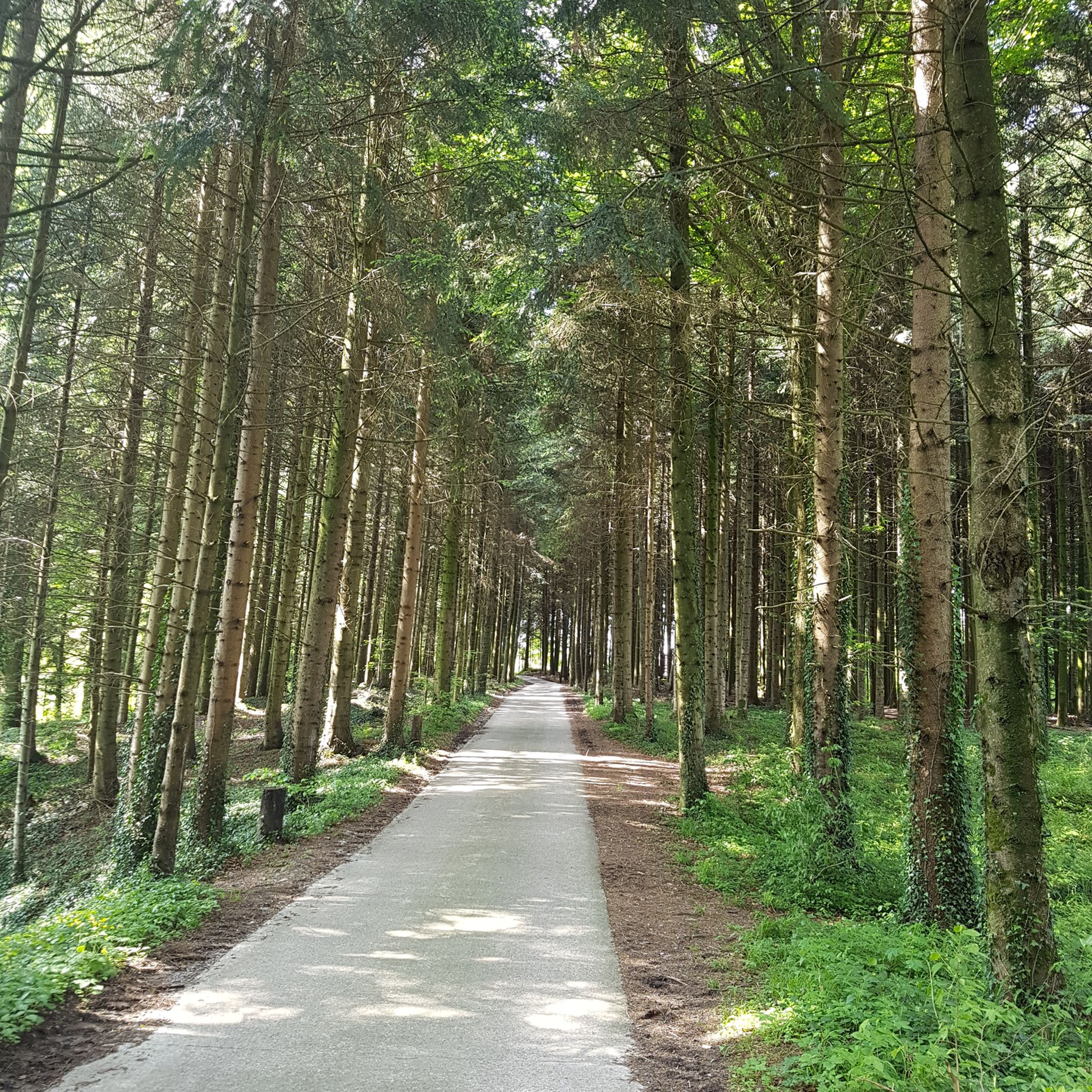
Whether for a leisurely stroll, jogging, or cycling – the promenade is perfect for anyone who wants to be active yet relaxed. 🚶♂️🏃♀️🚴♂️
0
0

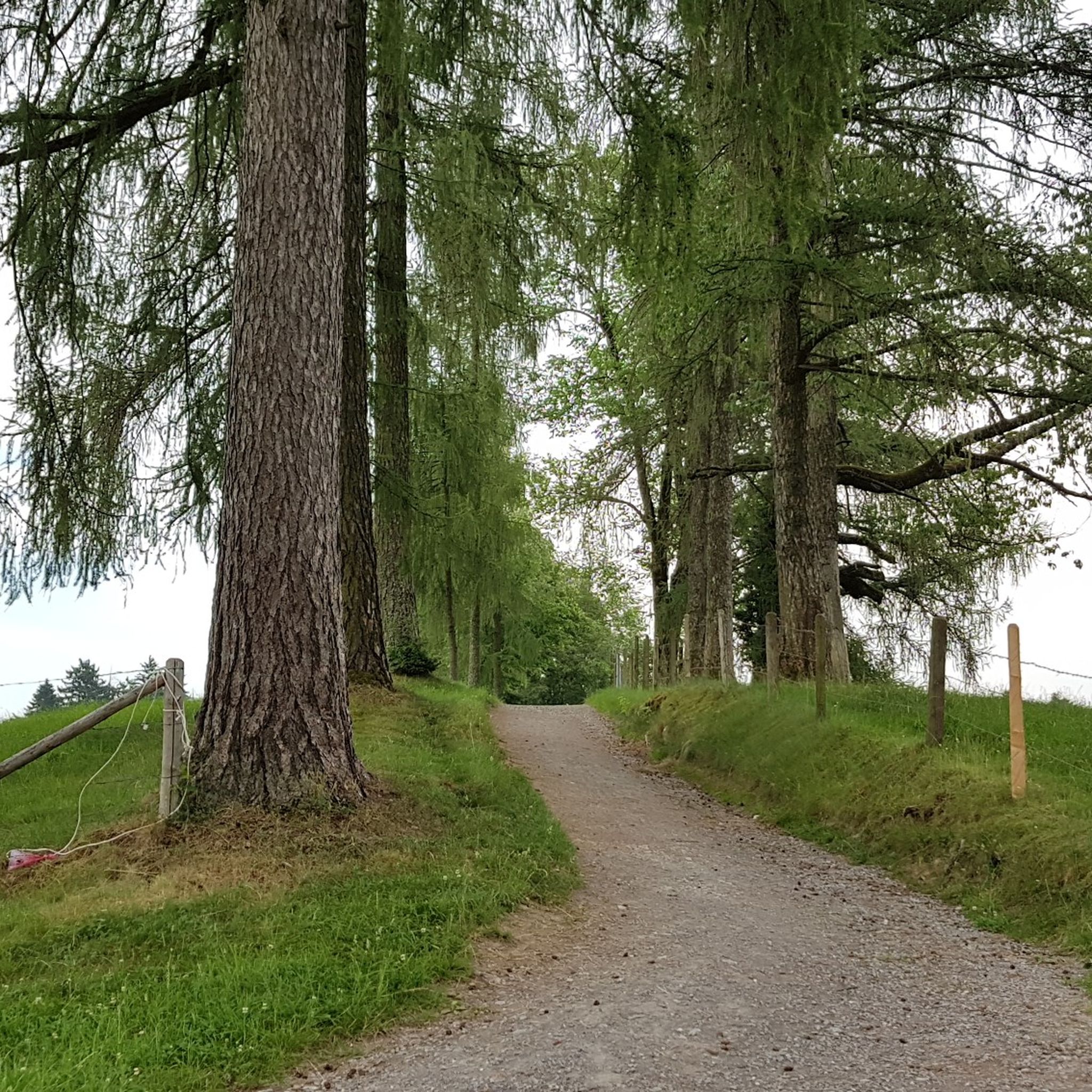
Well suited for walks, even when there are many people around.
0
0

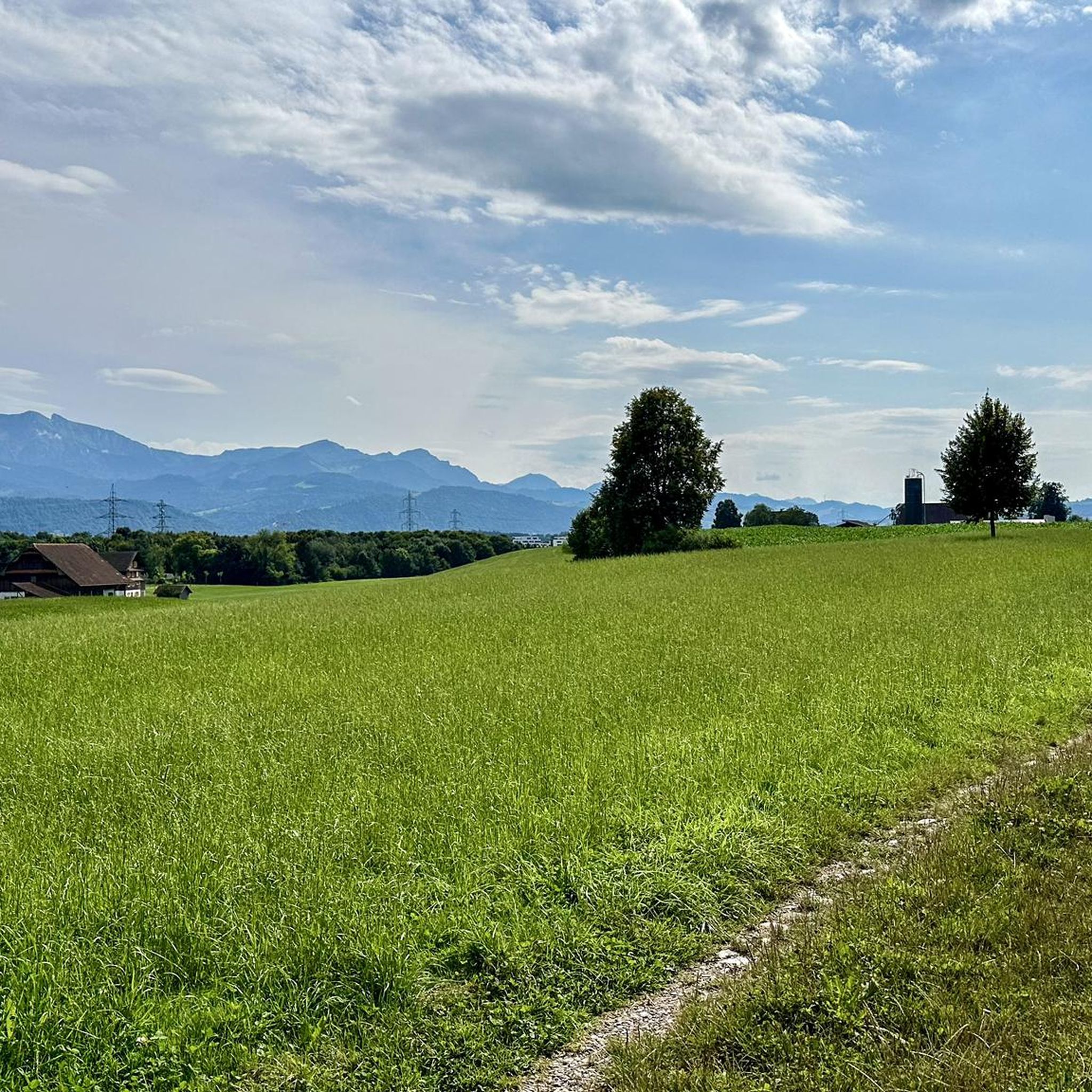
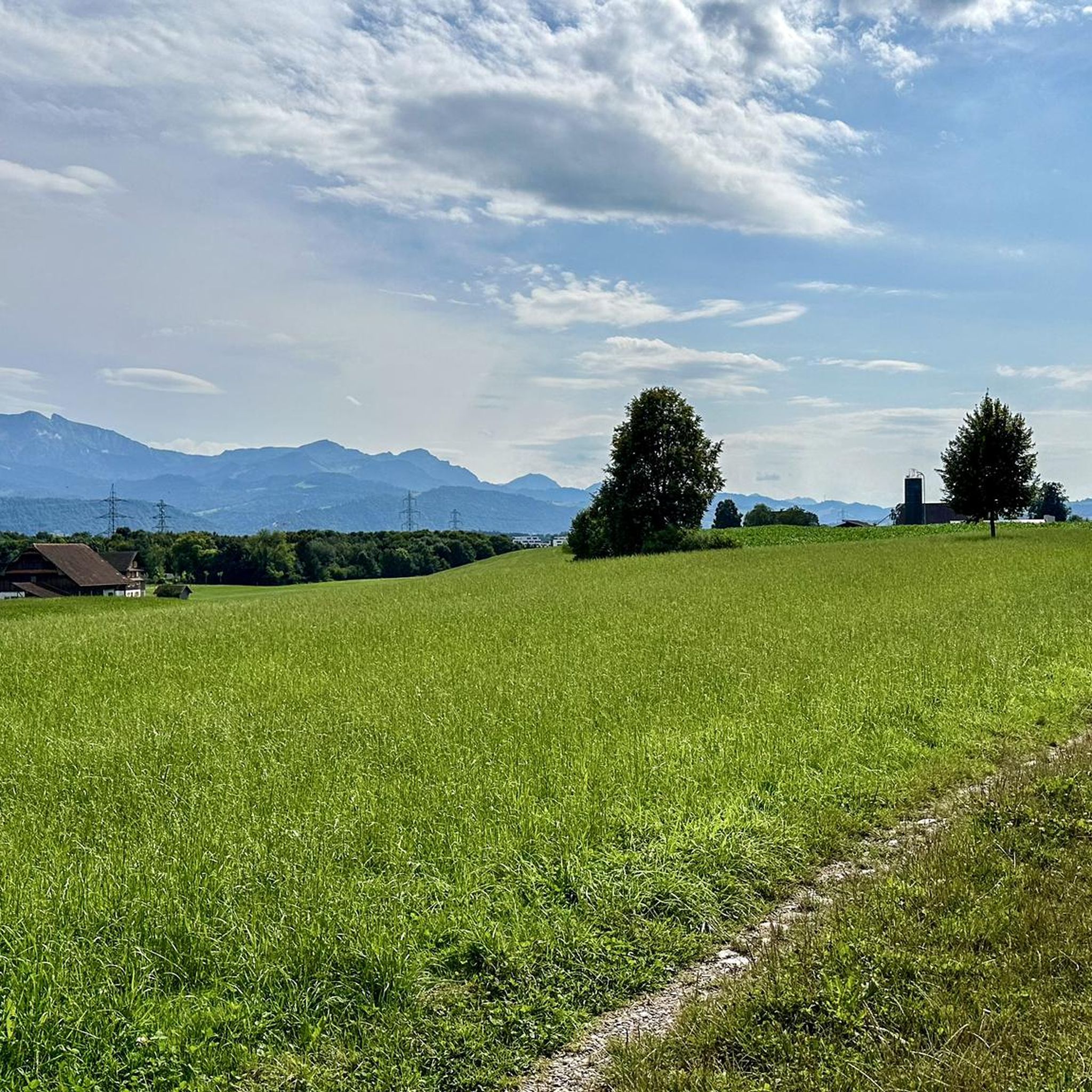
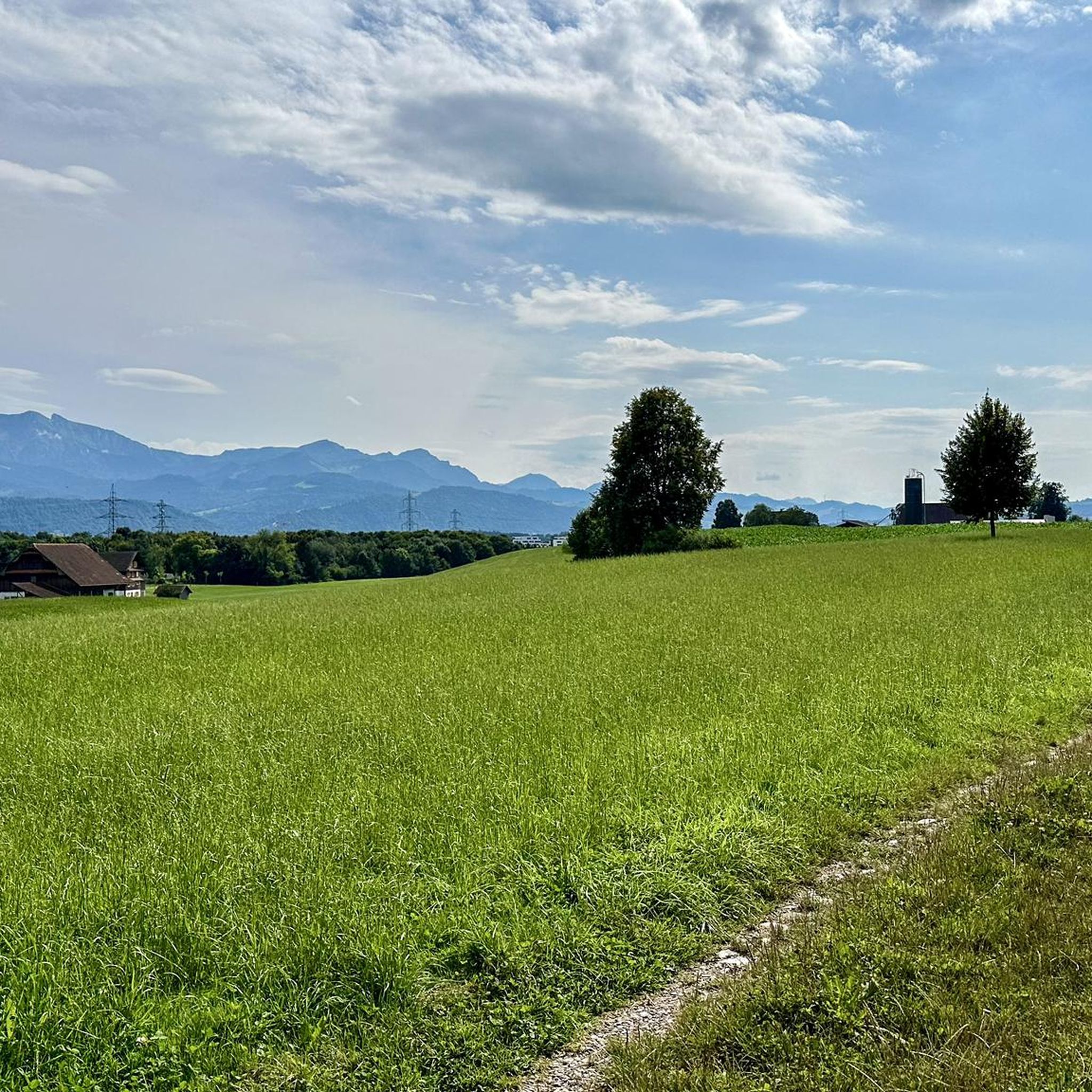
Depending on the weather and visibility, you can see more or less.
1
0

An outpost of Catholicism in a Reformed area.
1
0

A brochure from the parish of St. Martin in Root provides information on the history of the power place Michael's Cross: "Around 1,500 years ago, the pious Medardus decided to build a wooden hut in the Meggerwald forest to live there. While he was busy felling trees, a boy came to him and asked Medardus to take two tree trunks on his shoulders and follow him. After a four-hour hike, the two arrived at a hill near Root. There, the boy asked the hermit to build a cross from the two trunks. With the words: 'I am the Archangel Michael, sent by my Lord Jesus Christ to mark and consecrate this place with the sign of the holy cross,' the boy took on the form of the Archangel Michael. Since then, the hill on which the chapel stands today has been called Michael's Cross.
5
0


KKL Luzern Concert Hall History 1998-present On August 18, 1998, the concert hall was opened with the Lucerne Symphony Orchestra, the Lucerne Trumpet Ensemble, and the then Federal President Flavio Cotti. The opening concert of the International Music Festival Lucerne (now Lucerne Festival) with conductor Claudio Abado and the Berlin Philharmonic took place the following day. In March 2000, wings A and B were also opened, and in June, the Kunstmuseum Luzern. In 2004, the RED and World Café restaurants followed. In 2016 - or more than 17 years after opening - the KKL Luzern exceeded the billion mark in terms of value creation for the first time. Each year, the KKL Luzern generates around 75 million Swiss francs in value creation for the city and region of Lucerne, as calculated by the University of St. Gallen in the 2011 value creation study. Philipp Keller has been CEO of KKL Luzern Management AG since 2017. The current president of the supporting foundation, Markus Moll, and the chairman of the board of directors, Felix Howald, have both been in office since 2019. In 2020, the Le Piaf and Lucide restaurants were opened. The Lucide restaurant has been awarded 16 Gault Millau points and a Michelin star. The Corona pandemic hit the KKL Luzern hard. For almost two years, events were only possible to a limited extent or not at all. The gastronomy had to be partially or completely closed again and again. In February 2022, almost all measures were lifted and operations could be resumed in all business areas. The year 2023, the year of the 25th anniversary, was the first in which full operation was restored and a very successful result was achieved. Text / Source: KKL Luzern Management AG, Europaplatz 1, Lucerne https://www.kkl-luzern.ch/uber-uns/geschichte
12
0
The current station, inaugurated in 1991, is the third in an eventful history. The first Lucerne station in 1856 was built from wood and used as the terminus of a main line of the Swiss Central Railway Company. This line carried rail traffic from France and Germany via Basel and Olten into Switzerland and as far as Lucerne. The station was served along what is now Pilatusstrasse. Designed as a terminus station, it was located directly on the lake at the landing stage of the Lake Lucerne Shipping Company. The second Lucerne station in 1896 was completely rebuilt. A building with an impressive glass dome was created. Fire Unfortunately, the Lucerne station, inaugurated in 1896, fell victim to a fire on February 5, 1971. Only the iron structure of the platform hall could withstand the blazing embers. But the station's landmark, the striking glass dome from the 19th century, collapsed and disappeared from the cityscape. The cause of the fire is said to have been a blowtorch that was being used for roof work. Only a makeshift repair of the system was able to ensure continued operation. New building Reconstruction was not attempted and instead a comprehensive redesign of the station area began. In 1980, the SBB (Swiss Federal Railways) and the PTT (state authority for postal, telephone and fax services) together with the city and canton of Lucerne launched an architectural competition for a redesign of Lucerne station. The architects Hans-Peter Ammann and Peter Baumann were awarded the contract. The famous Spanish-Swiss architect, civil engineer and artist Santiago Calatrava, who was working for Ammann and Baumann at the time, is responsible for the bold and generously designed station hall made of glass and concrete. Inauguration The new Lucerne station was officially inaugurated in 1991. The historic entrance gate, which was rebuilt towards the lake, is reminiscent of the station that opened in 1896 with its 42-meter-high dome. This archway is crowned by the sculpture "Zeitgeist" by the most famous Swiss sculptor of the time, Richard Kissling. Text / Source: Luzern Tourismus AG (LTAG), Zentralstrasse 5, Luzern https://www.luzern.com/de/poi/bahnhof-luzern#:~:text=The%20first%20Lucerne%20train%20station%20from%201856%20was%20built%20from%20Olten%20in%20Switzerland%20to%20Lucerne.
14
1
Frequently Asked Questions
What are the most popular elevated viewpoints around Rothenburg ob der Tauber?
The region around Rothenburg ob der Tauber is known for its rolling hills and elevated areas offering fantastic views. Highly popular spots include Sonnenberg, which is a popular leisure area with barbecue spots and rest benches, and Michaelskreuz Chapel, a historical site with lovely views. Additionally, the Rothenburg Town Center itself offers exceptional panoramic vistas from its medieval city walls and towers.
Are there actual mountain peaks near Rothenburg ob der Tauber, or mostly hills?
Rothenburg ob der Tauber is situated in a region characterized by rolling hills and elevated plateaus rather than towering alpine peaks. The highest natural elevation in the immediate vicinity is Wölfleinsberg, reaching 1,827 feet (557 meters), offering expansive views of the surrounding Franconian landscape. The broader Main-Tauber-Kreis also features Tauberberg, a prominent hill with significant overlooks of the Tauber Valley.
What kind of views can I expect from the elevated areas around Rothenburg?
From the elevated areas around Rothenburg, you can expect diverse and picturesque views. These include panoramic vistas of the medieval Rothenburg Town Center with its red roofs, the scenic Tauber Valley, and the sprawling forests and fields of the Frankenhöhe Nature Park. Locations like the Castle Gardens Lookout provide breathtaking views of the Tauber Valley and the town's southern skyline.
What natural features can I explore in the elevated areas around Rothenburg?
The elevated areas around Rothenburg ob der Tauber are part of the Frankenhöhe Nature Park, offering diverse natural features. You can explore valleys, streams, forests, and vineyards. The Tauber Valley itself is a significant natural highlight, and trails like the Vineyard Panorama Trail showcase the region's winemaking heritage alongside stunning natural beauty.
Are there hiking trails to these elevated areas and viewpoints?
Yes, there are numerous hiking trails that lead to and through the elevated areas and viewpoints around Rothenburg. The Frankenhöhe Nature Park features trails like the European Watershed Hiking Trail. Within the immediate vicinity, circular trails such as the Rothenburg Panorama Trail (W6) offer wonderful views of the old town and nature experiences. You can find more hiking options in the Hiking around Rothenburg guide.
Are there easy walks or beginner-friendly trails to elevated viewpoints?
Absolutely. Many trails around Rothenburg are suitable for beginners and offer easy access to elevated viewpoints. For example, the Sonnenberg is a family-friendly viewpoint with trails. The Tower Trail along Rothenburg's city walls is also an easy 4 km walk providing fantastic views. For more easy options, check out the Easy hikes around Rothenburg guide, which includes routes like the 'Froschweiher loop' and 'Sensory Trail Rothenburg'.
What are some longer or more challenging hiking routes near Rothenburg's elevated areas?
For those seeking more challenging routes, the Frankenhöhe Nature Park offers longer trails that traverse its elevated areas. While specific 'difficult' routes aren't detailed, moderate options like the 'Froschweiher loop from Rothenburg' (9.9 km) can be found in the Hiking around Rothenburg guide. These routes often involve more significant elevation changes and cover greater distances.
Are there historical sites on or near these elevated areas?
Yes, several historical sites are located on or near the elevated areas. The Rothenburg Town Center itself is a major historical site, with its medieval city walls and towers offering elevated perspectives. The Michaelskreuz Chapel is another historical and religious building situated on an elevated spot, known as a power place with a rich history.
Can I combine a visit to an elevated area with a cultural experience?
Definitely. The Vineyard Panorama Trail, leading from the Spital Quarter to the Castle Garden, offers incredible views of the Tauber Valley while showcasing the region's vineyards and winemaking heritage. Walking the medieval city walls of Rothenburg Town Center provides both elevated views and a deep dive into the town's history and architecture.
Are the elevated areas and viewpoints around Rothenburg suitable for families?
Many elevated areas and viewpoints are very suitable for families. Sonnenberg is a popular family-friendly recreational area with a playground, barbecue spots, and rest benches. The Rothenburg Town Center, with its walkable city walls, also offers an engaging and family-friendly way to experience elevated views and history.
What outdoor activities can I do near these elevated areas?
Beyond hiking, the region around Rothenburg offers various outdoor activities. You can enjoy mountain biking on trails like those found in the MTB Trails around Rothenburg guide, which includes routes such as 'Vogelmoosweiher – Flowy S1🚵♂️ loop'. The Tauber Valley also provides opportunities for cycling and leisurely walks along the river, often with views of the elevated town.
Most popular routes around Rothenburg
Most popular attractions around Rothenburg

Get inspired with the komoot mobile app


Explore more
See even more amazing summits around Rothenburg with these guides:
