The best road cycling routes around Rothenburg
4.5
(1139)
22,514
riders
348
rides
Road cycling routes around Rothenburg traverse a diverse landscape, characterized by the picturesque Tauber Valley with its vineyards and the varied terrain of the Frankenhöhe Nature Park. The region features rolling hills, forests, fields, and plains, offering a mix of gentle and more demanding sections. Cyclists can explore routes along the Tauber River and through charming villages, with elevation gains varying across the area.
Best road cycling routes around Rothenburg
- The most popular road cycling route is Sempach – Luzerner…
Last updated: August 20, 2026
4.5
(11)
116
riders
31.9km
01:48
390m
390m
Moderate road ride. Good fitness required. Mostly well-paved surfaces and easy to ride.
4.5
(4)
70
riders
47.1km
02:46
500m
500m
Moderate road ride. Good fitness required. Some segments of this route may be unpaved and difficult to ride.

Sign up for free
5.0
(3)
56
riders
48.0km
02:18
620m
620m
Moderate road ride. Good fitness required. Mostly well-paved surfaces and easy to ride.
4.5
(2)
50
riders
59.0km
02:54
860m
860m
Moderate road ride. Good fitness required. Mostly well-paved surfaces and easy to ride.
41
riders
20.5km
00:57
150m
150m
Easy road ride. Great for any fitness level. Mostly well-paved surfaces and easy to ride.
Get access to more routes and recommendations from other explorers.
Sign up for free
Already have an account?
Our route recommendations are based on thousands of hikes, rides, and runs completed by other people on komoot.
Start today with a free account
Your next adventure awaits.
Login or Signup
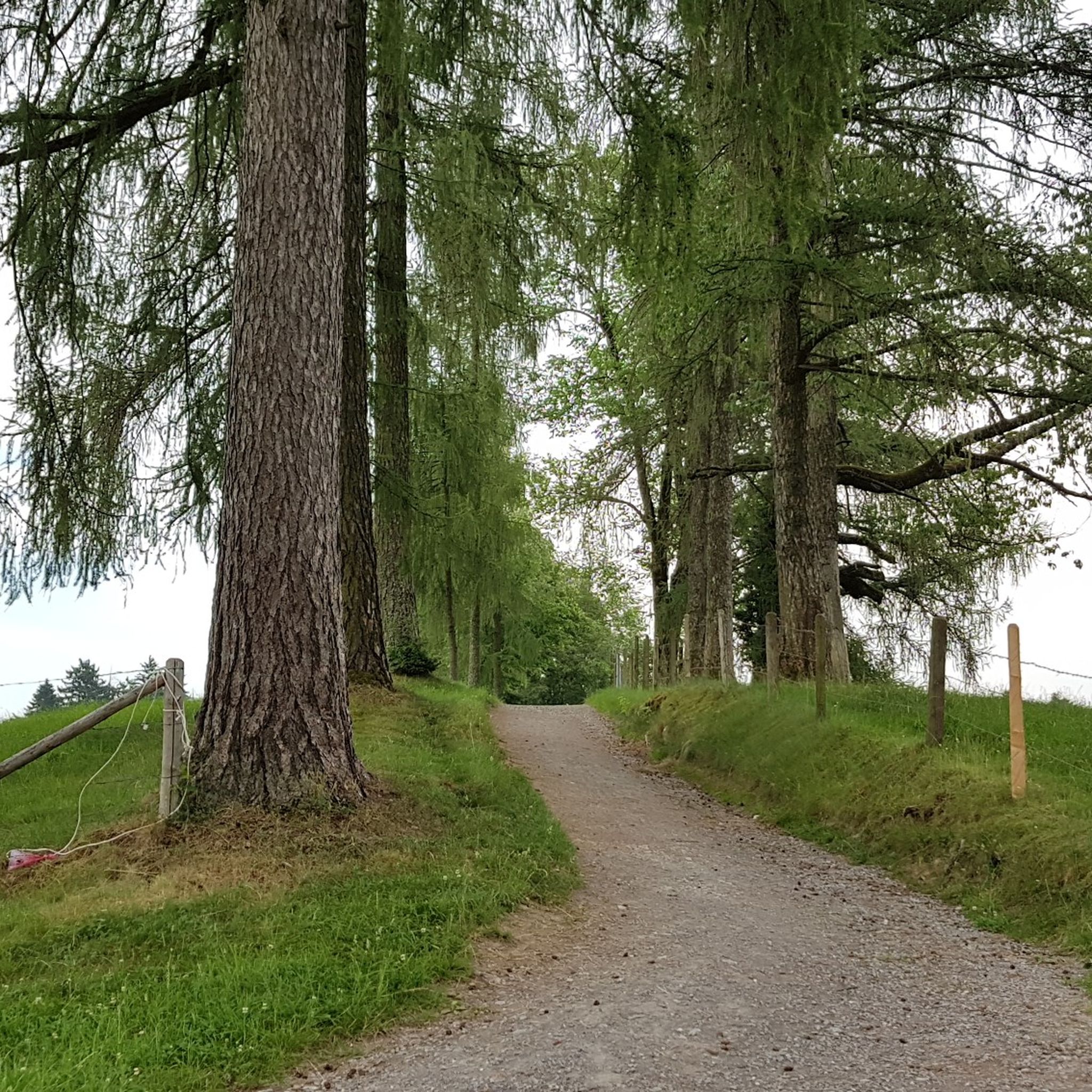
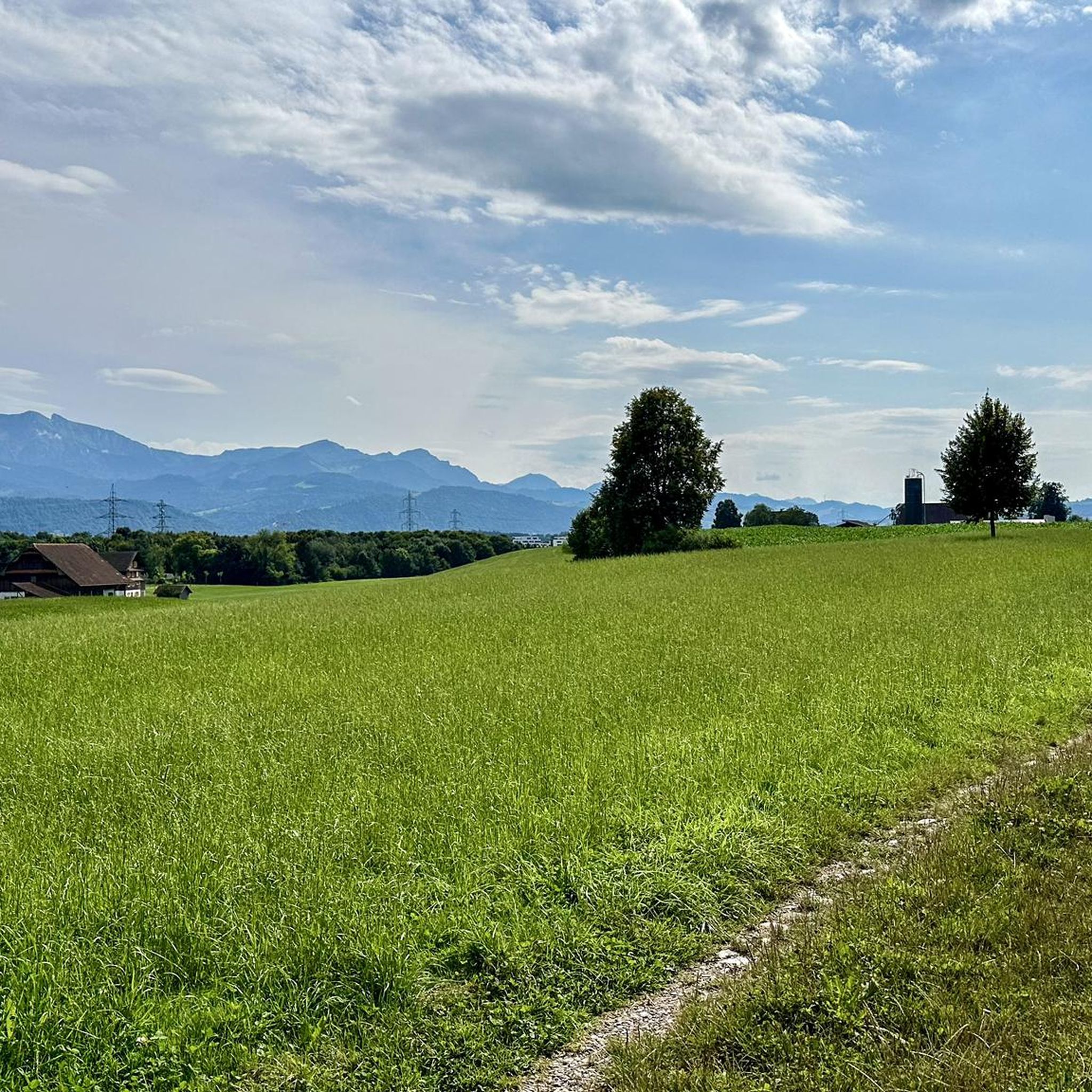
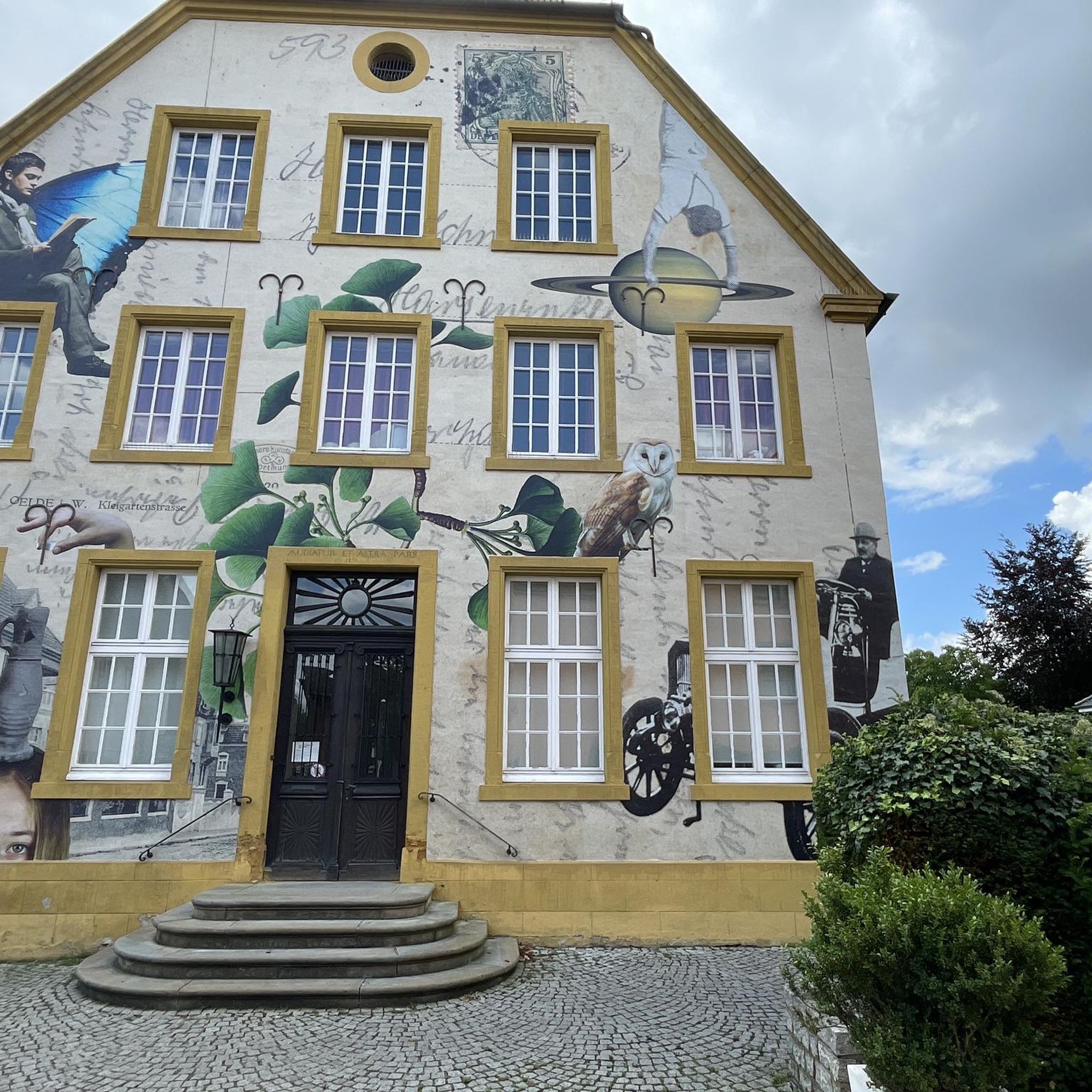
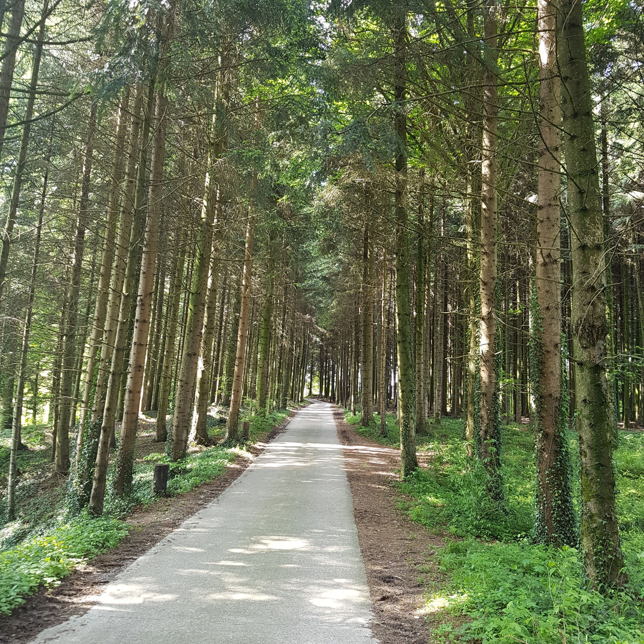
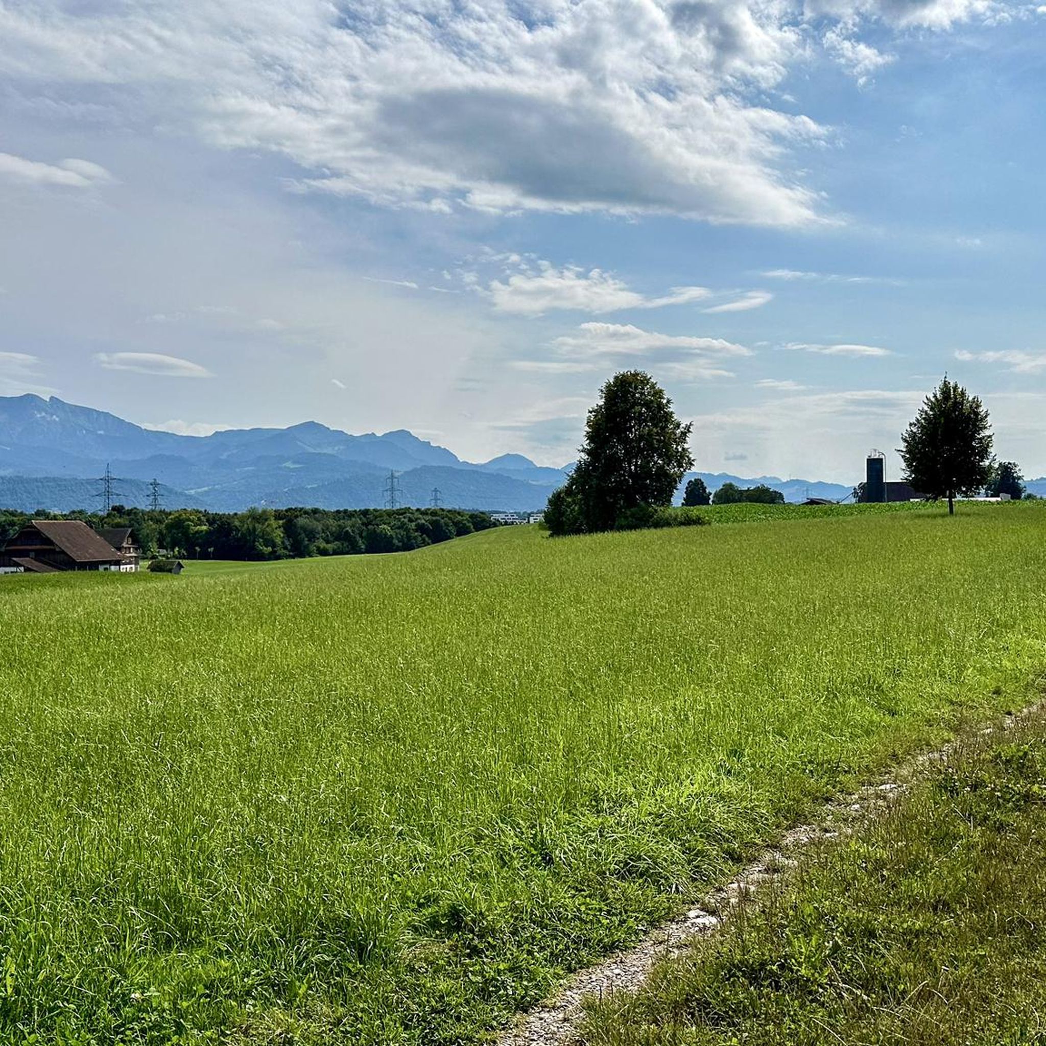
Tips from the Community

The Rickenbacher Dorfwirtschaft is a true institution. It is a meeting place for young and old and offers the whole range of culinary delights, from a simple coffee to a fine dinner. The Blick community has also awarded it the prize for the best fondue! More information: https://www.dorfwirtschaft.ch/.
0
0

In the past, several small huts were built on islands or platforms in the river so that the pontoneers could work and stay there. These huts were important bases for building and maintaining pontoon bridges, which were important for both military purposes and the daily life of the city. The huts also symbolically represent the close connection of the pontoneers to the Reuss and their task of protecting and using the river.
0
0
The tower dates from the 14th century and was formerly used for the defense of the city of Lucerne. ⏳⚔️
0
0
Small seating areas and relaxation terraces allow for breaks with views of the water and nature 🌞🪑.
0
0
The Reusszopf recreational area in Lucerne is a natural river landscape where the Reuss and the Kleine Emme unite 🌿🌊. This area is a valuable green retreat in the middle of the city and offers diverse opportunities for recreation and nature observation.
0
0
The Nordpol-Café at Reusszopf is a cozy place right at the confluence of the Reuss and the Kleine Emme 🌊🌿. Here you can enjoy the idyllic nature with delicious coffee ☕ and homemade cake 🍰.
0
0

The Freigleis is a former railway line of the Zentralbahn in Lucerne. After the railway was laid underground, it was converted into an approximately three-kilometer-long bicycle and footpath, which has connected the Steghof district with Kriens and Horw since 2016.
0
0
Besides the main road and the railway tracks, there is a pleasantly flat path directly on the banks of the Reuss. Perfect for walking from the city to Emmen (or vice versa).
0
0
Frequently Asked Questions
How many road cycling routes are available around Rothenburg ob der Tauber?
There are over 360 road cycling routes around Rothenburg ob der Tauber, offering a wide variety of options for different skill levels and preferences. These include 66 easy routes, 225 moderate routes, and 72 difficult routes.
What kind of terrain can I expect on road cycling routes in Rothenburg ob der Tauber?
Road cycling routes around Rothenburg ob der Tauber traverse a diverse landscape. You can expect picturesque views of the Tauber Valley with its vineyards, as well as the varied terrain of the Frankenhöhe Nature Park. The region features rolling hills, forests, fields, and plains, offering a mix of gentle valley rides and more demanding sections with significant elevation gains.
Are there road cycling routes suitable for beginners or families?
Yes, Rothenburg offers several routes suitable for beginners and families. Many routes along the Tauber River are relatively flat or gently hilly, providing an enjoyable experience. For example, the Reuss Riverside at Lucerne – View of the Nölliturm loop from Emmenbrücke Kapf is an easy 21 km route with minimal elevation gain, perfect for a relaxed ride.
What is the best time of year for road cycling in Rothenburg ob der Tauber?
The best time of year for road cycling in Rothenburg ob der Tauber is generally from spring through autumn. During these seasons, the weather is mild, and the landscapes, especially the vineyards in the Tauber Valley, are at their most picturesque. Spring brings blooming flowers, while autumn offers vibrant foliage and comfortable temperatures.
Are there challenging road cycling routes for experienced riders?
Absolutely. For experienced riders seeking a challenge, the region offers 72 difficult routes. These often venture into the Frankenhöhe Nature Park, featuring more significant climbs and descents. An example of a moderate route with notable elevation is the View of the Alps and lakes – View of Römerswil loop from Emmenbrücke Kapf, which covers nearly 59 km with over 850 meters of ascent.
Can I find circular road cycling routes in the region?
Yes, many road cycling routes around Rothenburg ob der Tauber are designed as circular loops, allowing you to start and end at the same point. This is convenient for exploring the diverse landscapes without needing to retrace your path. The Luzerner Gate, Sempach – Sempach loop from Emmenbrücke Kapf is a popular circular route covering almost 49 km.
What scenic viewpoints or landmarks can I see along the road cycling routes?
Road cycling routes in Rothenburg ob der Tauber offer numerous scenic viewpoints and historical landmarks. You can enjoy panoramic views of the Tauber Valley from the Castle Garden, or cycle past the historic Double Bridge. The region is also dotted with charming villages and vineyards. For specific natural beauty, consider routes that pass near the Felsenweg Waterfall and Rock Overhang or the Waterfall.
Is it possible to rent road bikes in Rothenburg ob der Tauber?
Yes, bike rental services are available in Rothenburg ob der Tauber, making it convenient for visitors who wish to explore the region's road cycling routes without bringing their own equipment. This is particularly useful for enjoying the river valley routes.
Are there options for public transport access to road cycling routes?
Rothenburg ob der Tauber is well-connected by public transport, including train services. Many routes are accessible from the town center, which is reachable by train. This allows cyclists to arrive by public transport and begin their rides directly from Rothenburg or nearby villages.
Where can I find parking for road cycling trails in Rothenburg ob der Tauber?
Rothenburg ob der Tauber offers various parking facilities, including designated parking areas on the outskirts of the old town. These serve as convenient starting points for road cycling routes that lead into the Tauber Valley or towards the Frankenhöhe Nature Park. It's advisable to check local parking information upon arrival.
Are there road cycling routes that include stops at cafes or restaurants?
Yes, many road cycling routes around Rothenburg ob der Tauber pass through charming villages and towns where you can find cafes, restaurants, and traditional Franconian inns. The 'Lovely Taubertal' Cycle Path, for instance, is known for its culinary stops amidst vineyards, allowing cyclists to enjoy local specialties and refreshments during their ride.
What do other road cyclists say about the routes around Rothenburg ob der Tauber?
The road cycling routes around Rothenburg ob der Tauber are highly rated by the komoot community, with an average score of 4.5 stars from over 980 reviews. Cyclists often praise the scenic beauty of the Tauber Valley, the varied terrain of the Frankenhöhe Nature Park, and the well-maintained network of paths that cater to different ability levels.
Are there any waterfalls accessible from the road cycling routes?
While the region is more known for its valleys and forests, there are some smaller waterfalls that can be incorporated into your cycling adventures. For example, the Felsenweg Waterfall and Rock Overhang and the Waterfall are highlights that can be reached or passed by on certain routes, offering a refreshing natural sight.
Most popular routes around Rothenburg
Most popular attractions around Rothenburg

Get inspired with the komoot mobile app


Explore more
Browse the best Road cycling routes in other regions.
