The best road cycling routes around Odell
5.0
(11)
497
riders
21
rides
Road cycling routes around Odell traverse the scenic Hood River Valley, characterized by rolling hills, orchards, and views of the Columbia River Gorge. The region is situated near the base of Mount Hood, offering a diverse landscape for cyclists. Routes often feature varied terrain, from valley roads to climbs with significant elevation gain. This area provides a mix of moderate and challenging road cycling experiences.
Best road cycling routes around Odell
- The most popular road cycling route is Historic Columbia River Highway State Trail: Twin Tunnels, a 20.1 miles (32.4 km) trail that takes about 2 hours to complete. This route features historic tunnels and offers views of the Columbia River Gorge.
- Another top favourite among local road cyclists is Dee Highway and Mt Hood Highway loop, a moderate 39.6 miles (63.7 km) path. This loop winds through orchards and provides impressive views of Mount Hood.
- Local road cyclists also love the Hood River to Lost Lake, a 53.1 miles (85.5 km) trail leading through challenging terrain with significant elevation gain, often completed in about 4 hours 25 minutes.
- Road cycling around Odell is defined by the verdant Hood River Valley, the dramatic Columbia River Gorge, and the backdrop of Mount Hood. The network offers options for easy rides through orchards as well as more challenging climbs.
- The routes in Odell are highly rated by the komoot community with an average score of 5.0 stars from over 7 reviews. More than 250 road cyclists have used komoot to explore Odell's varied terrain.
Last updated: September 27, 2026
5.0
(1)
49
riders
32.4km
02:01
650m
650m
Embark on a moderate road cycling adventure along the Historic Columbia River Highway State Trail: Twin Tunnels, a route that spans 20.1 miles (32.4 km) and includes an elevation gain of 2119 feet (646 metres). As you pedal, you'll notice the landscape shift from shaded fir forests, offering glimpses of the Columbia River, to a drier, semi-arid environment dotted with ponderosa pines. The highlight of your journey will be cycling through the Mosier Twin Tunnels, where unique "windows" carved into the rock provide framed views of the Gorge, especially vibrant with wildflowers in spring and early summer. This ride typically takes around 2 hours and 1 minute to complete, making it a rewarding experience for many cyclists.
Planning your visit to the Twin Tunnels trail is straightforward, as it's designed to be universally accessible and family-friendly. You'll find convenient parking available at both the Mark O. Hatfield West Trailhead, located near Hood River, and the Mark O. Hatfield East Trailhead, closer to Mosier. The Mark O. Hatfield West Trailhead also features a visitor center, which can provide additional information about the area and help you make the most of your ride. Consider starting early to enjoy cooler temperatures and fewer crowds on this popular route.
This trail offers a unique opportunity to experience a blend of history and natural beauty within the stunning Columbia River Gorge National Scenic Area. The Historic Columbia River Highway itself is a marvel of early 20th-century engineering, and cycling through the Twin Tunnels connects you directly to that legacy. It's a chance to explore a significant part of the region's heritage while enjoying the diverse ecosystems that thrive along the Columbia River, making it a truly distinctive ride.
24
riders
63.7km
03:27
890m
890m
Cycle the moderate Dee Highway and Mt Hood Highway loop, a 39.6-mile route with 2919 feet of gain through orchards and Mt Hood views.

5.0
(3)
18
riders
43.1km
02:18
630m
630m
The East Hood River loop is a moderate 26.8-mile road cycling route through orchards and vineyards with views of Mount Hood and the Columbia
14
riders
85.5km
04:25
1,420m
1,420m
Cycle 53.1 miles (85.5 km) from Hood River to Lost Lake, gaining 4651 feet (1418 metres) on this difficult, scenic road ride.
1
riders
23.0km
01:05
280m
280m
Easy 14.3-mile road cycling loop in Hood River, offering Columbia River Gorge views and agricultural scenery.
Get access to more routes and recommendations from other explorers.
Already have an account?
Our route recommendations are based on thousands of hikes, rides, and runs completed by other people on komoot.
Start today with a free account
Your next adventure awaits.
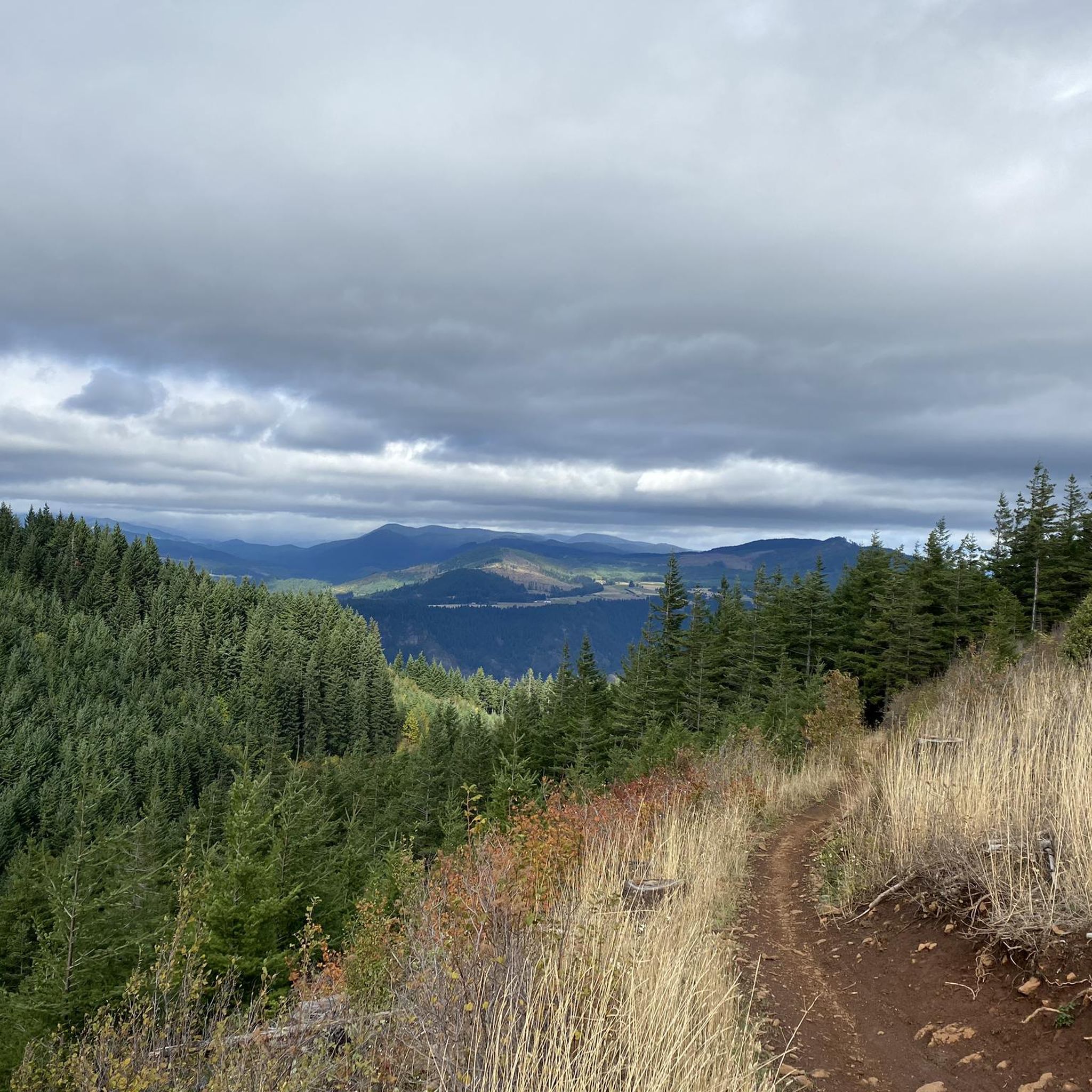
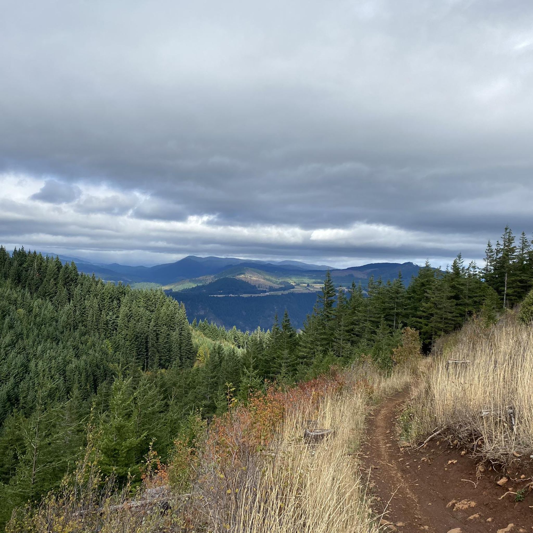


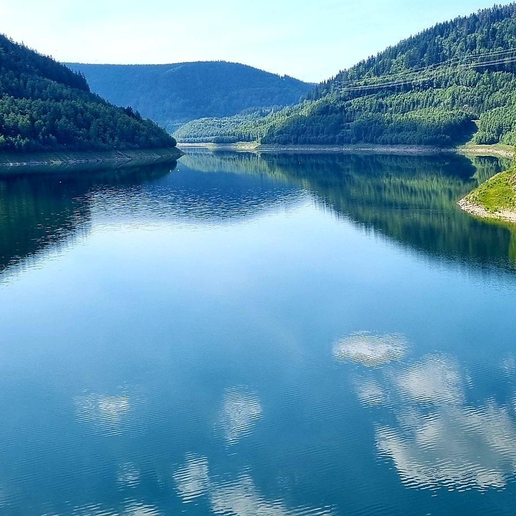
Tips from the Community

There are two punchbowl falls in the area, but this one is not as steep and much more accessible. The "punchbowl" collects the strong, short waterfall and swirls and churns the water. The parking lot is only a 0.2-minute nature walk from the trailhead. The Punchbowl Falls County Park is 103 acres in size, and the property has been saved for the public and trails built by volunteers.
0
0
Wah Gwin Gwin Falls is also known as Lullaby Falls, or in the Native language, the Place of Rushing Waters. It is technically located on the grounds of the Columbia Gorge Hotel and is easy to find just off exit 62. It has a height of 207 feet and flows into the Colombia River gorge.
0
0

It's 70 km all uphill. There's hardly any traffic. Its hard. But it's damn cool to always drive around this mighty and wonderful mountain!
0
0
Mt. View Orchards is a fun seasonal stop for apple picking, lavender farm viewing, taste testing ciders, and picking up locally grown fruit. The property is a 50-acre apple and pear farm just north of Mt. Hood. This company prides itself on sustainability and being environmentally friendly. It's open every day from 10 a.m. to 5 p.m.
0
0
There are two punchbowl falls in the area, but this one is not as steep and much more accessible. The "punchbowl" collects the strong, short waterfall and swirls and churns the water. The parking lot is only a 0.2-minute nature walk from the trailhead. The Punchbow Falls County Park is 103 acres in size, and the property has been saved for the public and trails built by volunteers.
0
0
Lost Lake is great for cyclists because they can ride right up to the edge of the lake. Lost Lake has a campground and lots of activities. There is a resort store that offers canoes, kayaks, wooden boats, metal fishing boats, and stand-up paddle board rentals. Visitors can find a number of hiking and biking trails and can spend the day bird-watching, berry-picking, swimming, waterfall-finding, or participating in some of the scheduled activities like telescoped stargazing, special Forest Service events, or live music.
0
1
The Panorama Point Vista House was built in 1970 and provides views to the river on the north and to Mount Hood in the east. Mt. Hood has some great year-round snowpack and is an iconic point in the Portland area. Here visitors can find restrooms, shade, and picnic areas, and it's a great stop for a break.
0
0
Heading east from the town of Hood River on the Historic Colombia River Highway State Trail, climb up the horseshoe-shaped switchbacks and arrive at a nice, elevated viewpoint of the Colombia River. Enjoy the rewarding view that you earned!
0
0
Frequently Asked Questions
How many road cycling routes are available around Odell?
Odell offers a diverse selection of over 20 road cycling routes. These routes cater to various skill levels, ranging from easy rides through orchards to challenging climbs with significant elevation gain, all set against the backdrop of the Hood River Valley and Mount Hood.
What are the typical difficulty levels for road cycling routes in Odell?
The routes around Odell are categorized into different difficulty levels. You'll find 4 easy routes, 12 moderate routes, and 7 challenging routes. Easy routes generally feature gentler terrain, while moderate and difficult routes include more significant elevation changes and longer distances, often providing impressive views of the surrounding landscape.
Are there any family-friendly road cycling routes in Odell?
Yes, Odell offers several family-friendly options, particularly those categorized as easy. These routes often traverse the scenic Hood River Valley, providing a pleasant experience through orchards with less demanding terrain. For example, the West Hood River loop is an easy option that could be suitable for families.
Which road cycling routes offer the most challenging climbs and distances?
For experienced cyclists seeking a challenge, Odell provides routes with significant elevation gain and longer distances. The Hood River to Lost Lake route is a notable example, spanning 53.1 miles (85.5 km) with over 4,600 feet (1,400 m) of elevation gain, leading through demanding terrain.
Can I find loop routes for road cycling around Odell?
Yes, many road cycling routes in Odell are designed as loops, allowing you to start and end at the same point. A popular moderate loop is the Dee Highway and Mt Hood Highway loop, which covers nearly 40 miles (63.7 km) and offers views of Mount Hood and orchards.
What scenic landmarks or attractions can I see along the road cycling routes?
Road cycling routes around Odell are rich with scenic landmarks. You can experience historic tunnels and breathtaking views of the Columbia River Gorge on routes like the Historic Columbia River Highway State Trail: Twin Tunnels. Other routes wind through the Hood River Valley's orchards, with Mount Hood often serving as a dramatic backdrop. You might also pass by the Hood River Lavender Farms during peak blooming season.
What is the best time of year for road cycling in Odell?
The Hood River Valley, including Odell, is particularly beautiful for road cycling from spring through fall. The peak blooming season for lavender farms is typically June and July, adding a sensory delight to your ride. While specific weather patterns vary, these seasons generally offer pleasant conditions for exploring the region's diverse landscapes.
What do other road cyclists enjoy most about cycling in Odell?
The road cycling experience in Odell is highly regarded by the komoot community, with an average rating of 5.0 stars. Cyclists frequently praise the stunning natural beauty, including the dramatic Columbia River Gorge and the majestic Mount Hood backdrop, as well as the varied terrain that caters to different skill levels, from gentle orchard rides to challenging mountain climbs.
Are there any cafes or accommodation options for cyclists in Odell?
Odell and the surrounding Hood River Valley offer various amenities for cyclists. While Odell itself is a smaller community, the nearby town of Hood River provides a wider selection of cafes, restaurants, and accommodation options. Many routes pass through or near areas where you can find places to refuel and rest.
What are the typical road surface conditions like in Odell?
Road cycling routes in Odell generally feature well-maintained paved surfaces, suitable for road bikes. The region's focus on tourism and agriculture means that many roads, especially those part of scenic loops like the Fruit Loop, are kept in good condition. However, as with any area, conditions can vary, so it's always good to be prepared for minor imperfections.
Is parking available at trailheads for road cyclists in Odell?
Yes, parking is generally available at or near the starting points of many road cycling routes in the Odell area. For popular routes like the Historic Columbia River Highway State Trail, designated parking areas are often provided. When planning your ride, it's advisable to check specific route details for recommended parking locations.
Are there any road cycling routes that offer views of the Columbia River Gorge?
Absolutely. The Columbia River Gorge is a prominent natural feature near Odell, and several road cycling routes offer spectacular views. The Historic Columbia River Highway State Trail: Twin Tunnels is specifically known for its breathtaking vistas of the Gorge and its historic tunnels.
Most popular attractions around Odell

Get inspired with the komoot mobile app


Explore more
Browse the best Road cycling routes in other regions.
