The best road cycling routes around Linville
5.0
(1)
196
riders
17
rides
Road cycling routes around Linville are characterized by mountainous terrain, significant elevation changes, and scenic views of the surrounding landscape. The region features prominent peaks and bodies of water, offering varied gradients for road cyclists. Roads often traverse through forested areas and past open vistas. The topography presents a mix of challenging climbs and rewarding descents.
Best road cycling routes around Linville
- The most popular road cycling route is View of Grandfather Mountain – Rough Ridge Overlook loop from Flat Rock, a 36.2 miles (58.3 km) trail that takes 2 hours 59 minutes to complete. This route features substantial elevation gain and offers views of Grandfather Mountain.
- Another top favourite among local road cyclists is Wildcat Lake – Mill Pond loop from Avery County, a moderate 16.8 miles (27.0 km) path. This route winds through varied landscapes including lake views.
- Local road cyclists also love the Wildcat Lake – Mill Pond loop from Sugar Mountain, a 37.4 miles (60.2 km) trail leading through mountainous terrain with notable elevation changes, often completed in about 3 hours 6 minutes.
- Road cycling around Linville is defined by mountainous terrain, lakes, and forests, with significant elevation gain. The network offers options for different ability levels, including both moderate and difficult road cycling routes.
- The routes in Linville are highly rated by the komoot community with an average score of 5.0 stars from a few reviews. More than 180 road cyclists have used komoot to explore Linville's varied terrain.
Last updated: May 28, 2026
5.0
(1)
63
riders
60.8km
03:08
1,040m
1,040m
Hard road ride. Very good fitness required. Mostly well-paved surfaces and easy to ride.
21
riders
81.6km
04:35
1,610m
1,610m
Hard road ride. Very good fitness required. Some segments of this route may be unpaved and difficult to ride.

Sign up for free
17
riders
25.8km
01:20
430m
430m
Moderate road ride. Good fitness required. Some segments of this route may be unpaved and difficult to ride.
14
riders
50.2km
02:32
810m
810m
Moderate road ride. Good fitness required. Some segments of this route may be unpaved and difficult to ride.
11
riders
13.8km
00:49
310m
310m
Moderate road ride. Good fitness required. Some segments of this route may be unpaved and difficult to ride.
Get access to more routes and recommendations from other explorers.
Sign up for free
Already have an account?
Our route recommendations are based on thousands of hikes, rides, and runs completed by other people on komoot.
Start today with a free account
Your next adventure awaits.
Login or Signup
Popular around Linville

Tips from the Community

Nector Sector is a fun hiking and mountain biking trail that connects to the popular Hemlock Trail. It can get pretty steep and technical in spots, so keep your eyes on the trail and bring your full-suspension bike if you have one!
0
0

With a pavillion and playground, this swimming lake makes a great spot to stop for a pitstop and perhaps a cool off.
0
0
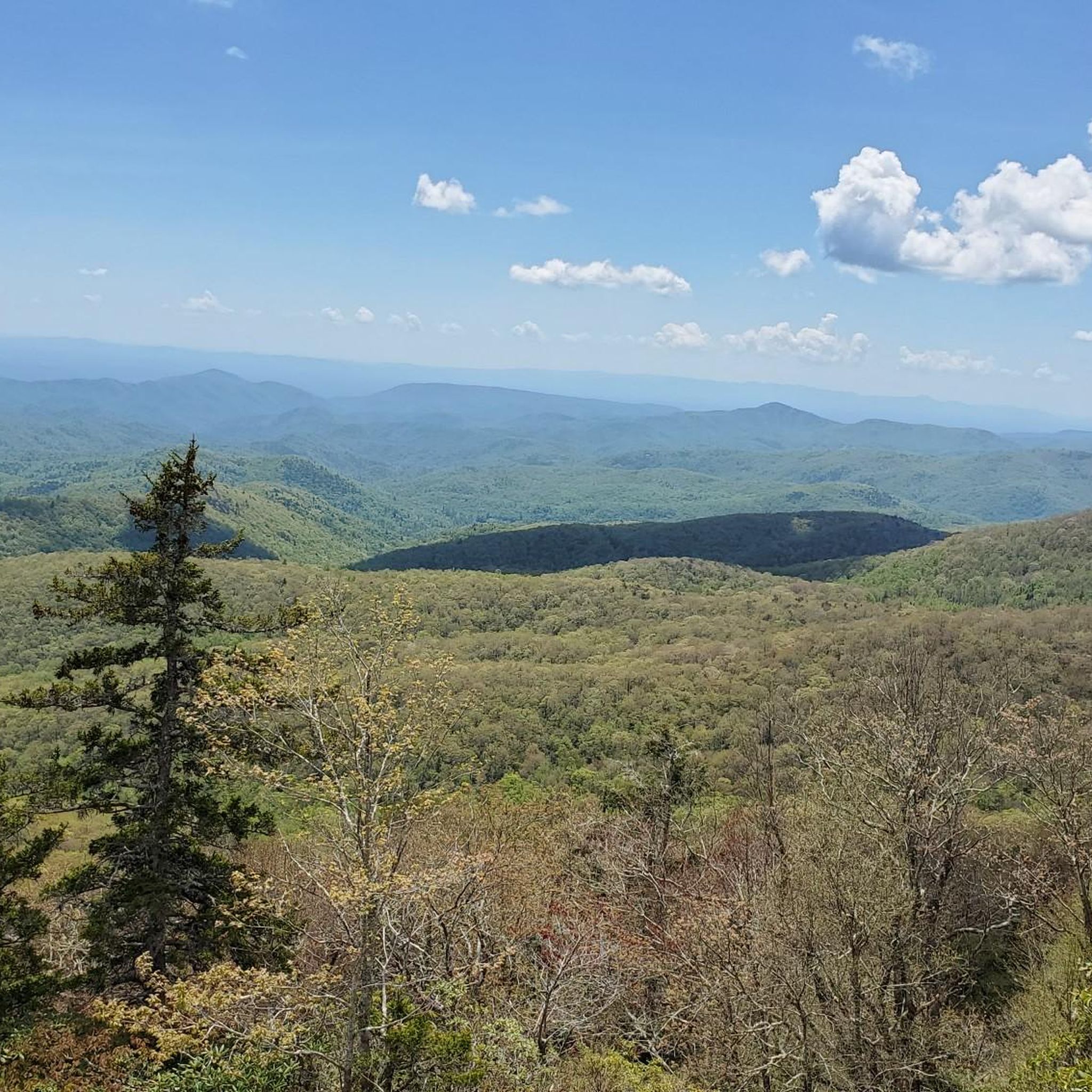
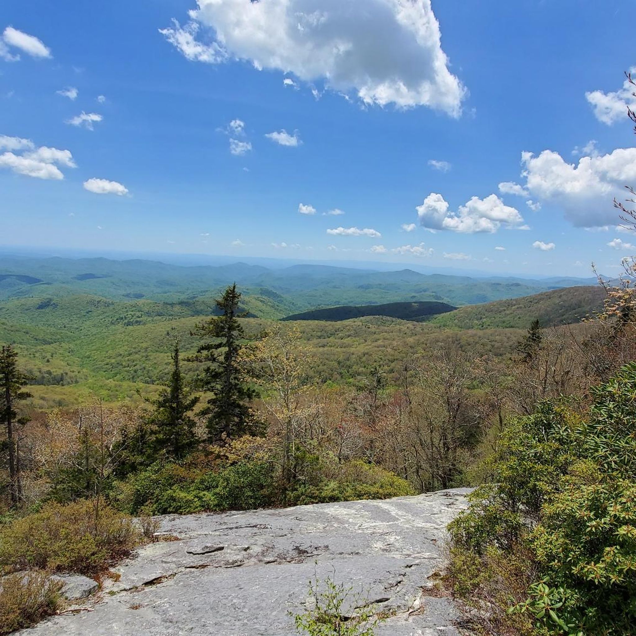
At Milepost 302.8 on the Blue Ridge Parkway, you can find the Rough Ridge Overlook. There is a trail that offers even better views from a better vantage point, but there are a few window views through the trees from the parking area. The section of the parkway bordering Grandfather Mountain State Park is especially beautiful in the fall when the colors on the trees are changing.
0
0
At Milepost 302.8 on the Blue Ridge Parkway, you can find the Rough Ridge Overlook. There is a trail that offers even better views from a better vantage point, but there are a few window views through the trees from the parking area. The section of the parkway bordering Grandfather Mountain State Park is especially beautiful in the fall when the colors on the trees are changing.
0
0
The Yonahlossee Overlook is located at Milepost 303.9 on the Blue Ridge Parkway and is one of the most frequented stop on the roadside in this area. The overlook, itself, is a bit overgrown, but you can get a great view of the Linn Cove Viaduct just south of the overlook, which is where most people who park at the overlook are headed anyway.
1
0
The Grandfather Mountain Overlook (commonly referred to as Grandfather Mountain View) is located at Milepost 306.6 on the Blue Ridge Parkway and offers sweeping views of the 5,939-foot mountain. Coming from the north, you've already biked beside this mountain for several miles, but this is a perspective that you haven't gotten yet.
0
0
Frequently Asked Questions
How many road cycling routes are available in Linville?
There are over 15 road cycling routes available around Linville, offering a variety of experiences for different skill levels. These routes are highly rated by the komoot community, with an average score of 5.0 stars.
What is the general difficulty level of road cycling routes in Linville?
Road cycling in Linville is characterized by mountainous terrain and significant elevation changes. Most routes are classified as moderate or difficult. Specifically, there are 9 moderate routes and 6 difficult routes, providing challenges for experienced cyclists.
Are there any routes with significant elevation gain for advanced cyclists?
Yes, Linville's mountainous terrain ensures many routes feature substantial elevation gain. For example, the Linville Falls Picnic Area – Anthony Mountain loop from Banner Elk is a difficult route with over 1060 meters of elevation gain, covering 83.3 km.
What kind of scenic viewpoints can I expect on Linville's road cycling routes?
The routes often pass through forested areas and open vistas, offering stunning views. You can expect to see prominent peaks and bodies of water. Notable viewpoints include Rough Ridge Lookout, Beacon Heights Overlook, and Cliffs overlook, which are accessible from various routes.
Are there any family-friendly road cycling options in Linville?
While many routes feature significant elevation, some moderate options might be suitable for families with older children or those comfortable with some climbing. The Wildcat Lake – Mill Pond loop from Avery County is a moderate 27 km path that winds through varied landscapes including lake views, which could be a good option.
What is the best time of year for road biking in Linville?
The region's mountainous climate means spring, summer, and fall generally offer the most pleasant conditions. Fall is particularly scenic with changing foliage. Winters can be cold with potential for snow and ice, making road cycling more challenging or impossible on some routes.
Are there any loop road bike trails in Linville?
Yes, many of the road cycling routes in Linville are loops. For instance, the popular View of Grandfather Mountain – Rough Ridge Overlook loop from Flat Rock is a 58.3 km loop offering views of Grandfather Mountain. Another option is the Wildcat Lake – Mill Pond loop from Sugar Mountain, a 60.2 km loop through mountainous terrain.
What can I see along the road cycling routes besides the views?
Beyond the panoramic views, you can explore several natural monuments and peaks. Highlights include MacRae Peak, Mile High Swinging Bridge, and Calloway Peak. These attractions offer opportunities to pause and explore during your ride.
Where can I find parking for road bike trails near Linville?
While specific parking details vary by route start point, many trailheads and popular attractions in the area offer parking. For example, there is a designated Parkinglot near some of the peaks and viewpoints, which can serve as a starting point for your ride.
What are the typical lengths and durations of road cycling routes in Linville?
Route lengths vary significantly, from shorter moderate rides to longer, more challenging ones. For example, the Wildcat Lake – Mill Pond loop from Bald Mountain is a moderate 13.8 km route taking about 48 minutes, while the Linville Falls Picnic Area – Anthony Mountain loop from Banner Elk is a difficult 83.3 km route that can take over 4 hours.
What do other road cyclists enjoy most about road cycling in Linville?
The komoot community highly rates the road cycling experience in Linville, with an average score of 5.0 stars. Reviewers often praise the challenging mountainous terrain, the significant elevation changes that offer rewarding descents, and the scenic views of prominent peaks and bodies of water.
Most popular routes around Linville
Most popular attractions around Linville

Get inspired with the komoot mobile app


Explore more
Browse the best Road cycling routes in other regions.
