The best walks and hikes around Fletcher
4.8
(22)
452
hikers
18
hikes
Hiking around Fletcher, North Carolina, offers access to diverse trails within the scenic Blue Ridge Mountains and the expansive Pisgah National Forest. The region features varied terrain, including hardwood forests, mountain balds, and gentle creek crossings. Hikers can find routes ranging from easy loops to more challenging paths with significant elevation changes. This area provides a natural setting for outdoor activities, characterized by its mountainous landscape and abundant natural features.
Best hiking trails around Fletcher
- The most popular hiking route is Bearwallow Mountain Trail loop — Gerton, North Carolina, an easy 2.1 miles (3.4 km) trail that takes 1 hour 7 minutes to complete. This loop offers rewarding views from Bearwallow Mountain.
- Another top favourite among local hikers is Trombatore Trail — Gerton, North Carolina, a moderate 5.1 miles (8.2 km) path. This trail features a steady climb through forested areas, leading to scenic overlooks.
- Local hikers also love the Bill Moore Community Park loop — Fletcher, North Carolina, a 3.2 miles (5.2 km) trail leading through local parkland, often completed in about 1 hour 18 minutes.
- Hiking around Fletcher is defined by its Blue Ridge Mountain setting, access to Pisgah National Forest, and diverse forests. The network offers options for various ability levels, from gentle park loops to more strenuous mountain trails.
- The routes in Fletcher are highly rated by the komoot community with an average score of 4.8 stars from 20 reviews. More than 400 hikers have used komoot to explore Fletcher's varied terrain.
Last updated: June 23, 2026
19
hikers
3.85km
00:58
10m
10m
The Fletcher Park Trail offers a delightful, easy escape into nature, perfect for a relaxed afternoon. You'll wander through a varied landscape, from peaceful, shady tree canopies to open areas with views of Cane Creek and Hoopers Creek. The trail also features a charming arboretum garden and a serene pond, providing a pleasant mix of natural and cultivated scenery over its 2.4 miles (3.8 km) length. With only 18 feet (5 metres) of elevation gain, it's a genuinely accessible route for everyone.
Planning your visit to Fletcher Park is straightforward, with ample parking available at Fletcher Community Park. The park is well-equipped with amenities like restrooms and picnic areas, making it a great spot for families. However, be aware that due to past hurricane damage, the Cane Creek bridge is currently impassable, and some outer greenway trails are closed; always check for current conditions and respect any posted closures.
This easy, 58-minute hike is consistently rated as suitable for all skill levels, including families with children and those with leashed pets. It's a fantastic option if you're looking for a gentle introduction to hiking or simply a tranquil walk without the challenge of significant climbs, offering a refreshing outdoor experience in a convenient park setting.
12
hikers
2.30km
00:35
0m
0m
Embark on an easy hike along the Mills River Park Loop, a pleasant paved path that winds for 1.4 miles (2.3 km). You will experience a minimal elevation gain of just 5 feet (2 metres), making this route accessible for nearly everyone. The trail offers a relaxing outdoor experience, taking approximately 34 minutes to complete. As you follow the loop, you will reach the tranquil edge of the Mills River, where you can pause to observe various birds frequenting the area. The flat terrain ensures a comfortable stroll, perfect for a quick escape into nature.
Planning your visit to the Mills River Park Loop is straightforward. The trailhead is conveniently located within Mills River Park at 124 Town Center Drive, making it easy to find. You will find ample parking available directly at the park, so you won't have to worry about where to leave your car. Restrooms are also on-site, along with picnic shelters if you wish to extend your stay. This accessible location ensures a hassle-free start and end to your hike, whether you are coming for a quick walk or a longer outing with family.
The Mills River Park Loop is more than just a hiking trail; it is an integral part of a vibrant community hub. This multi-use path blends natural beauty with extensive recreational facilities, making the park a popular spot for families and dog owners alike. Beyond the loop, you can enjoy amenities such as a dedicated dog park and a playground, adding to the park's appeal as a versatile outdoor destination. It stands out as a place where you can combine a peaceful walk with broader community activities.

Sign up for free
5.0
(2)
3
hikers
4.54km
01:38
170m
170m
This moderate 2.8-mile hike on the Truckwheel Mountain Loop from Sleepy Gap offers varied forest terrain and interpretive signs.
4
hikers
5.87km
01:47
160m
160m
Hike the moderate 3.6-mile Shut-In and Hard Times Road Loop in The North Carolina Arboretum, featuring forest views and a gentle climb.
2
hikers
1.86km
00:39
170m
0m
The Bearwallow Mountain Trail offers a delightful journey through shaded woodlands before opening up to a vast, grassy summit. You'll navigate well-built rock steps and switchbacks on your way up, with the option to descend via a gravel service road for a slightly different experience. The real magic happens at the top, where nearly 360-degree views stretch across the Hickory Nut Gorge, revealing distant peaks like Mount Mitchell and Mount Pisgah, often shared with grazing cattle.
This easy 1.2-mile (1.9 km) hike involves a steady 573 feet (175 metres) of elevation gain, typically taking around 39 minutes to reach the top. It's a popular choice for families and dog owners, though dogs must be leashed due to the free-roaming cows. The trail is located about 19 miles from Asheville, making it a convenient and rewarding outing for a quick dose of mountain air and stunning scenery.
Bearwallow Mountain is part of a working farm, giving it a unique character with its friendly, free-range cows. The mountain is also protected by Conserving Carolina, ensuring its natural beauty and public access for years to come. It connects to the larger Hickory Nut Gorge State Trail System, including trails like the Trombatore Trail, offering options for longer hiking adventures if you're looking to explore further.
Get access to more routes and recommendations from other explorers.
Sign up for free
Already have an account?
Our route recommendations are based on thousands of hikes, rides, and runs completed by other people on komoot.
Start today with a free account
Your next adventure awaits.
Login or Signup


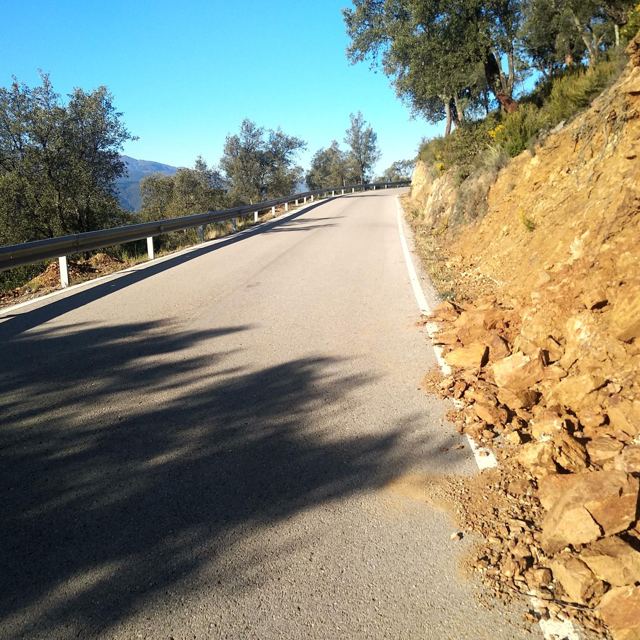

Tips from the Community

You can see a few peaks through a window of trees, but a lot of the overlook is now overgrown. It gets its name from the Chestnut trees that used to cover this mountainside, but a fungus took out the species in the early 1900s. There are still a lot of trees here, but the Chestnut does not grow here anymore.
0
0
Chestnut Cove Overlook is located at Chestnut Gap at mile marker 398.3 on the Blue Ridge Parkway. The overlook offers a parking area with trail access and a viewing area for Chestnut Cove resting almost 1,000 feet below.
0
0
Frequently Asked Questions
How many hiking trails are available around Fletcher?
Fletcher and its surrounding areas offer a good selection of hiking opportunities, with over 10 distinct routes available for exploration. These trails cater to various skill levels, from easy strolls to more challenging ascents.
What kind of terrain can I expect on hikes near Fletcher?
The hiking trails around Fletcher traverse diverse terrains, reflecting its location in the Blue Ridge Mountains and proximity to Pisgah National Forest. You can expect to find hardwood forests, open fields, and mountain balds, offering varied experiences and opportunities to observe local flora and fauna. Many trails also feature scenic creek crossings.
What do other hikers say about the trails around Fletcher?
The hiking routes in Fletcher are highly regarded by the komoot community, holding an impressive average score of 4.8 stars from 20 reviews. Hikers often praise the varied terrain, rewarding views, and the accessibility of trails for different ability levels.
When is the best time of year to go hiking in Fletcher?
The Blue Ridge Mountains region, including Fletcher, offers beautiful hiking experiences throughout much of the year. Spring brings blooming wildflowers, summer provides lush greenery, and autumn showcases spectacular fall foliage. Winter hiking is also possible, though conditions can vary, especially at higher elevations, so checking local weather is always recommended.
Are there easy hiking options suitable for beginners in Fletcher?
Yes, Fletcher has several easy hiking options perfect for beginners or those looking for a relaxed walk. For example, the Bearwallow Mountain Trail loop is an easy 2.1-mile trail offering rewarding views. Another accessible option is the Bill Moore Community Park loop, a 3.2-mile path through local parkland.
Can I find moderate or challenging hikes near Fletcher?
Absolutely. For those seeking more strenuous adventures, the area around Fletcher provides moderate to difficult trails. The Trombatore Trail is a moderate 5.1-mile path featuring a steady climb to scenic overlooks. More challenging options like Looking Glass Rock and sections of the Art Loeb Trail are also accessible from the Fletcher area for experienced hikers.
Are there any circular hiking routes around Fletcher?
Yes, several circular routes are available, allowing you to start and end at the same point. Popular options include the Bearwallow Mountain Trail loop and the Bill Moore Community Park loop. Another moderate loop is the Chestnut Cove & Sleepy Gap Trail loop within Pisgah National Forest.
Are there trails with waterfalls near Fletcher?
While not directly within Fletcher, the greater Western North Carolina region, easily accessible from Fletcher, is renowned for its abundant waterfalls. DuPont State Forest, for instance, offers numerous trails leading to impressive waterfalls like Hooker Falls, where swimming is even permitted.
What are some scenic viewpoints or attractions I can see while hiking near Fletcher?
Hiking near Fletcher offers access to breathtaking vistas and natural attractions. The Blue Ridge Mountains themselves provide panoramic views, and trails like the Bearwallow Mountain Trail loop offer rewarding overlooks. You can also explore highlights such as the Chestnut Cove Overlook, or visit Lake Powhatan, which are popular points of interest in the area.
Are the hiking trails around Fletcher family-friendly?
Many trails around Fletcher are suitable for families, especially the easier loops. The Bill Moore Community Park loop is a great option for families with children, offering accessible paths through local parkland. The gentle grade of trails like the Fletcher Creek Trail in Pisgah National Forest also makes them enjoyable for all ages.
Are dogs allowed on hiking trails in the Fletcher area?
Generally, dogs are welcome on many hiking trails in the Fletcher area, especially within Pisgah National Forest, provided they are kept on a leash. However, it's always best to check specific trail regulations before heading out, as some parks or protected areas may have restrictions.
Is parking generally available at trailheads near Fletcher?
Parking is typically available at designated trailheads for popular routes around Fletcher and within Pisgah National Forest. However, during peak seasons or on busy weekends, lots can fill up quickly, so arriving early is advisable. Some smaller, less-trafficked trails might have limited parking.
What should I bring for a hike in the Fletcher area?
When hiking in the Fletcher area, especially in the Blue Ridge Mountains, it's wise to be prepared. Essential items include plenty of water, snacks, appropriate footwear for varied terrain, layers of clothing (as mountain weather can change quickly), sun protection, and a map or GPS device. For longer hikes, a first-aid kit and headlamp are also recommended.
Most popular attractions around Fletcher

Get inspired with the komoot mobile app


Explore more
Browse the best Hikes in other regions.
