The best cycling routes around Ellersleben
4.5
(1264)
2,574
riders
200
rides
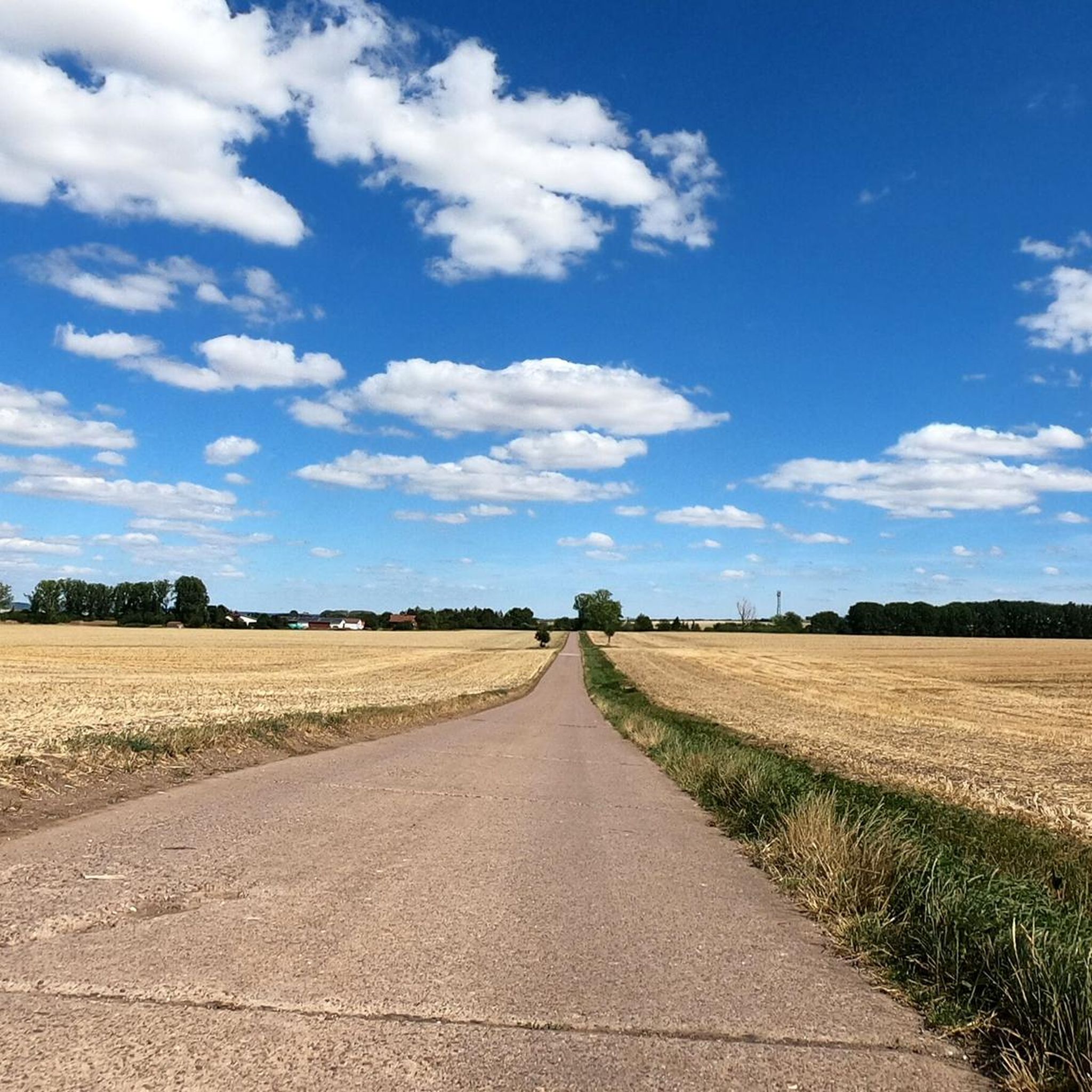
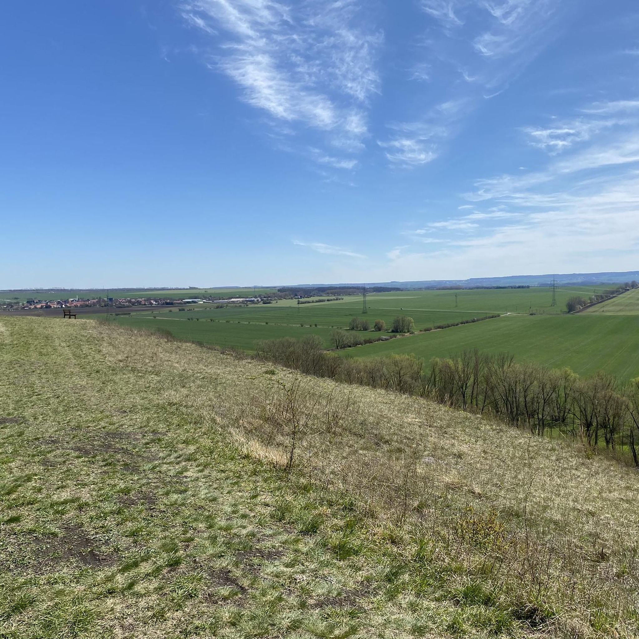
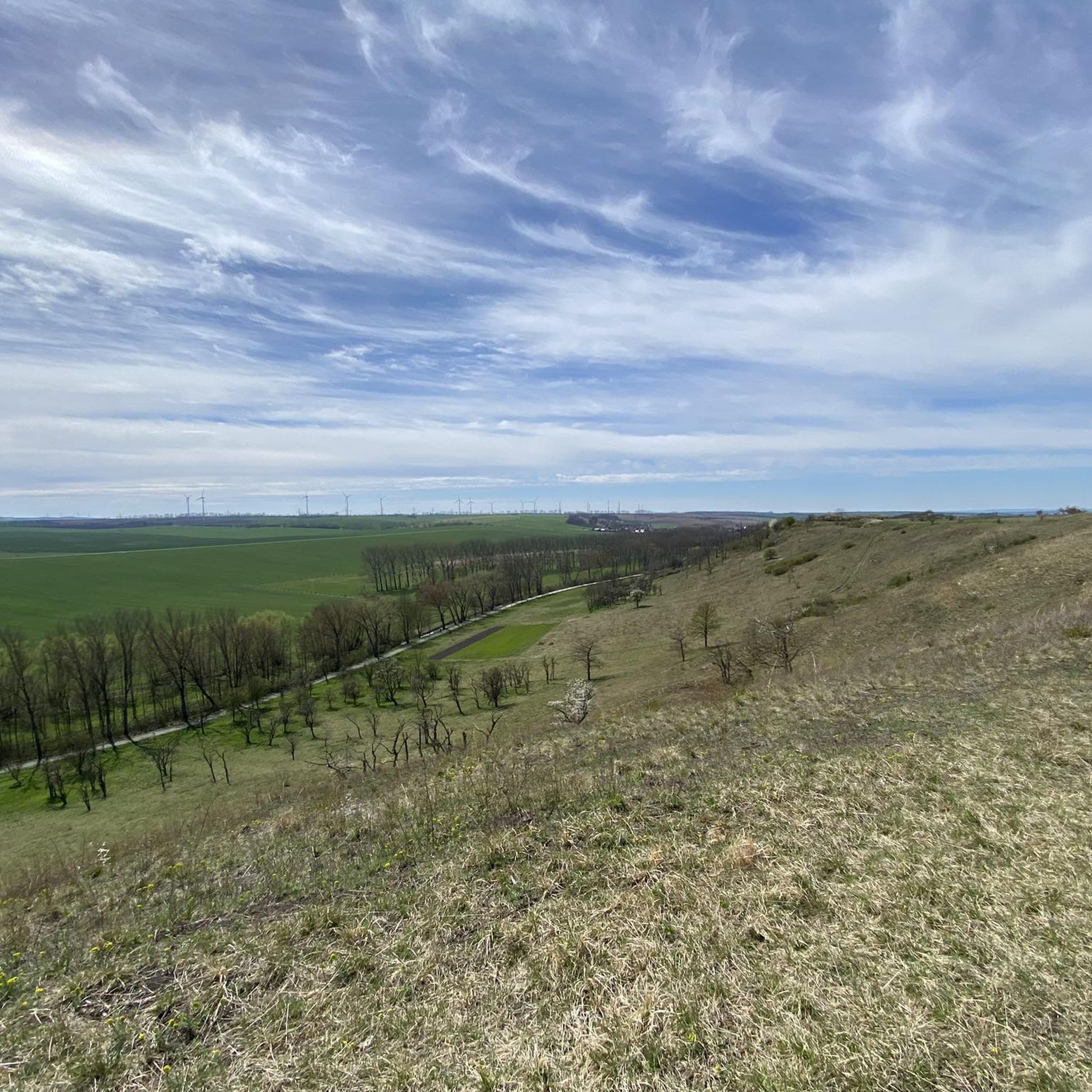
Touring cycling routes around Ellersleben traverse a landscape characterized by gentle river valleys, such as the Ilmtal, and expansive rural paths. The region features a mix of agricultural land, scattered forests, and historic mill sites. Elevation changes are generally moderate, with some routes including longer climbs suitable for experienced cyclists.
Best touring cycling routes around Ellersleben
- The most popular touring cycling route is Dreyse Mill Covered Bridge – View of Untere Sachsenburg loop from Großneuhausen, a 51.3 miles (82.6…
Last updated: June 24, 2026
4.7
(17)
66
riders
Hard bike ride. Good fitness required. You may need to push your bike for some segments of this route.
4.5
(15)
39
riders
64.4km
03:53
420m
420m
Moderate bike ride. Good fitness required. Mostly paved surfaces. Suitable for all skill levels.

Sign up for free
4.4
(7)
31
riders
43.4km
02:37
240m
240m
Moderate bike ride. Good fitness required. Mostly paved surfaces. Suitable for all skill levels.
4.6
(15)
59
riders
81.1km
05:16
780m
780m
Hard bike ride. Very good fitness required. You may need to push your bike for some segments of this route.
5.0
(2)
15
riders
29.2km
01:44
210m
210m
Moderate bike ride. Good fitness required. Mostly paved surfaces. Suitable for all skill levels.
Get access to more routes and recommendations from other explorers.
Sign up for free
Already have an account?
Our route recommendations are based on thousands of hikes, rides, and runs completed by other people on komoot.
Start today with a free account
Your next adventure awaits.
Login or Signup
Tips from the Community

A real eye-catcher not only for pilgrims and motorcycle fans
0
0
Many apple and plum trees flank the cycle path here, but the cobblestone passage in Hopfgarten is not without
0
0
well-signposted and easy-to-ride route between the two cities, although there are a few meters of elevation to overcome
0
0

Great wooden bridge 🤩. But be careful, it's still busy in places.
16
0
The Buchfarter Felsenburg, located on the steep shell limestone slope of the Illm River, is the only structure of its type in Central Germany and of particular cultural and historical significance. It was originally a castle complex belonging to the Counts of Orlamünde. Around the 12th century, 12 chambers of varying sizes were carved into the steep rock face in a row extending approximately 110 meters in length and at a height of 40 meters above the Illm River. The chambers were connected by a Romanesque hillside wall. Some wall remains and a round-arched doorway are still visible today. The rock castle had no military significance in the late Middle Ages. However, it served as a fully developed, impregnable refuge for a long line of counts, dukes, and electors.
18
0

A beautiful section of the Unstrut Cycle Path. Great views of Sachsenburg Castle and the bridge.
0
0

Beautiful cycle path with a view of the Thuringian Gate
0
0

Simply a great and huge piece of forest with wild garlic.
0
0
Frequently Asked Questions
How many touring cycling routes are available around Ellersleben?
There are over 200 touring cycling routes available around Ellersleben, offering a wide variety of options for different skill levels and preferences.
Are there any easy touring cycling routes suitable for beginners or families?
Yes, Ellersleben offers over 100 easy touring cycling routes. These routes typically feature gentle terrain and are suitable for beginners or families looking for a relaxed ride. One example is the View of Buttstädt – Pension Gildenhardt loop from Großbrembach, which covers 18.1 miles (29.2 km) with moderate elevation changes.
What kind of terrain and elevation can I expect on touring cycling routes in Ellersleben?
The region around Ellersleben is characterized by gentle river valleys and expansive rural paths. Elevation changes are generally moderate, but some routes, particularly the more difficult ones, include longer climbs. You'll find a mix of agricultural land, scattered forests, and historic mill sites.
Are there challenging routes for experienced touring cyclists?
Absolutely. For experienced touring cyclists seeking a challenge, there are 40 difficult routes. The Dreyse Mill Covered Bridge – View of Untere Sachsenburg loop from Großneuhausen is a demanding 51.3 miles (82.6 km) route with significant elevation, offering views of historic structures and the surrounding countryside.
Can I find circular touring cycling routes in Ellersleben?
Many of the touring cycling routes around Ellersleben are designed as circular loops, allowing you to start and end at the same point. For instance, the Wild Garlic Forest – Orchard Tree Avenue loop from Guthmannshausen is a 40.0 miles (64.4 km) circular trail.
What are some scenic highlights or viewpoints along the touring cycling routes?
The routes often pass through picturesque river valleys like the Ilmtal, forested areas, and orchard avenues. You can also discover historic structures and rural landscapes. For specific viewpoints, consider routes that offer vistas of towns like Buttstädt, such as the Paved Rural Cycle Path – View of Buttstädt loop from Großneuhausen.
What kind of attractions can I explore near the touring cycling routes?
Ellersleben is surrounded by interesting attractions. You can visit historical sites like the Monraburg Archaeological Site or explore various lakes such as Streitseeteiche and Kleffer Pond. There are also castles and hunting lodges in the vicinity, including the Hardisleben Hunting Lodge.
What do other touring cyclists say about the routes in Ellersleben?
The touring cycling routes in Ellersleben are highly rated by the komoot community, with an average score of 4.5 stars from over 1200 reviews. Cyclists often praise the varied terrain, from river valleys to forested sections, and the well-maintained rural cycle paths.
What is the best season for touring cycling in Ellersleben?
The region's gentle landscape with river valleys and forests makes it enjoyable for touring cycling from spring through autumn. Spring offers blooming orchards and wild garlic, while autumn provides vibrant foliage. Summer is also pleasant, especially along shaded river paths.
Are there routes that follow specific cycle paths, like river paths?
Yes, some routes incorporate established cycle paths. For example, the Buchfart Watermill – Ilmtal Cycle Path loop from Guthmannshausen follows sections of the Ilmtal Cycle Path, offering scenic riverine views and passing historic watermills.
Are there any routes that pass by historic mills or bridges?
Yes, the region has a history of mill sites. The Dreyse Mill Covered Bridge – View of Untere Sachsenburg loop from Großneuhausen specifically highlights a historic mill and covered bridge, offering a glimpse into the area's heritage.
Most popular attractions around Ellersleben

Get inspired with the komoot mobile app


Explore more
Browse the best Cycling routes in other regions.
