The best walks and hikes around Ellersleben
4.5
(518)
1,735
hikers
190
hikes
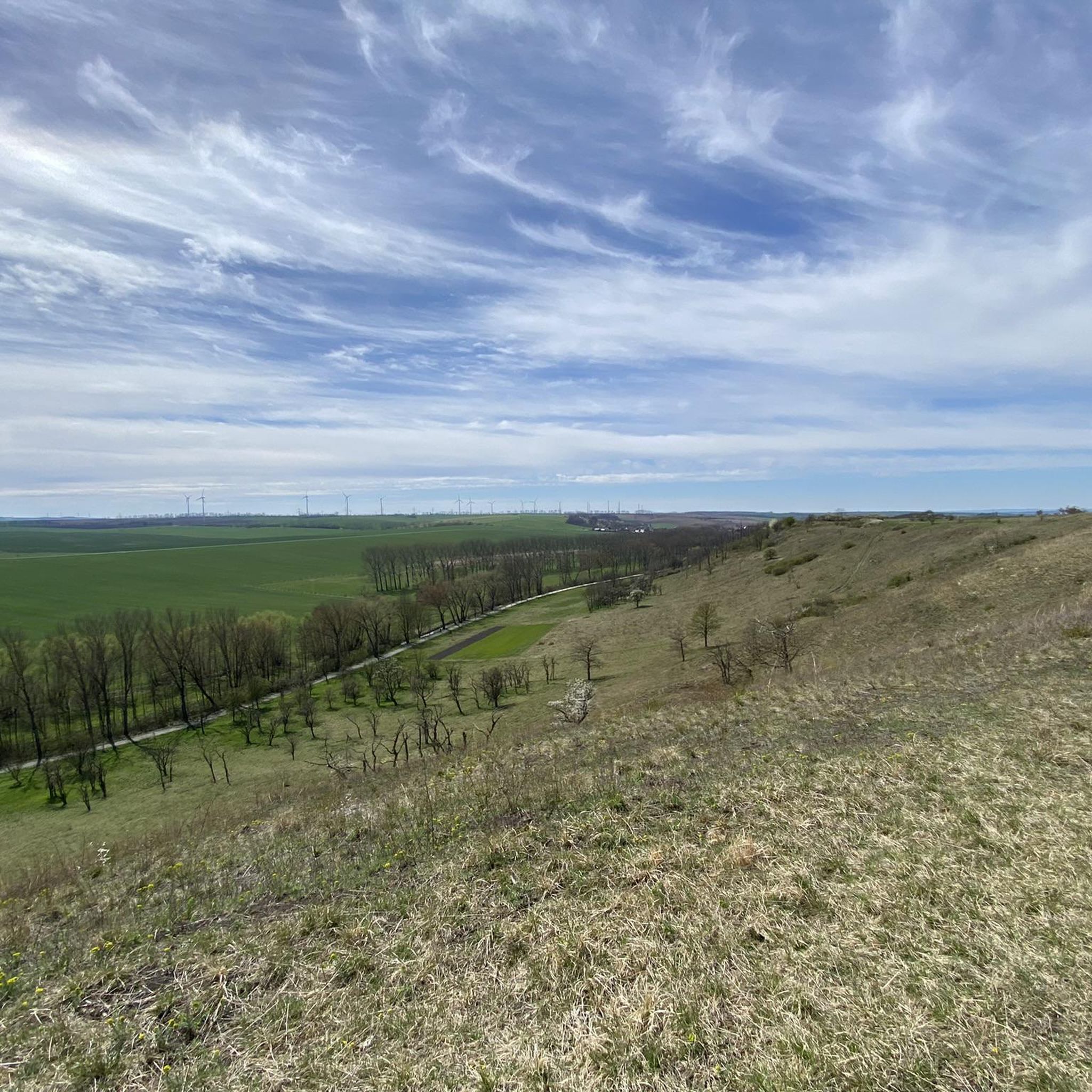
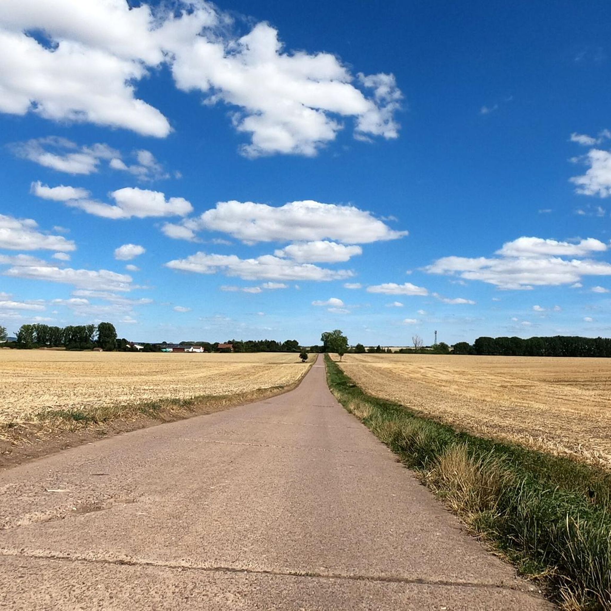
Hiking around Ellersleben offers diverse landscapes within the Sömmerda district of Thuringia, Germany. The region is characterized by rolling hills, expansive green meadows, and agricultural fields, providing varied terrain for outdoor activities. Situated on the southern edge of the Thuringian Basin, Ellersleben benefits from its proximity to the Rastenberger Forest, which features established routes and historical markers. This area provides a blend of open country and forested sections for hikers.
Best hiking trails around Ellersleben
- The most popular hiking route…
Last updated: July 8, 2026
4.5
(6)
20
hikers
Moderate hike. Good fitness required. Easily-accessible paths. Suitable for all skill levels.
8
hikers
Moderate hike. Good fitness required. Easily-accessible paths. Suitable for all skill levels.

Sign up for free
5.0
(1)
7
hikers
Easy hike. Great for any fitness level. Easily-accessible paths. Suitable for all skill levels.
4.0
(1)
4
hikers
Moderate hike. Good fitness required. Easily-accessible paths. Suitable for all skill levels.
5.0
(1)
4
hikers
Moderate hike. Good fitness required. Easily-accessible paths. Suitable for all skill levels.
Get access to more routes and recommendations from other explorers.
Sign up for free
Already have an account?
Our route recommendations are based on thousands of hikes, rides, and runs completed by other people on komoot.
Start today with a free account
Your next adventure awaits.
Login or Signup

Tips from the Community

Swimming is forbidden in this lake.
0
0
There is a large amount of wild garlic here. You can make wonderful pesto or herb butter from it.
0
0

Opinions may be divided as to the location of this beautiful bench. On the one hand, it is relatively close to the ICE bridge, but on the other hand, we were able to take a nice little rest there in the midday sun.
0
0
If you walk around the entire lake, you will pass under this ICE bridge twice, which is part of the Erfurt - Halle/Saale route.
1
0
This riverside path is a very beautiful single trail that always runs along the edge of the river - pure nature! There are also a few places in this section where you can definitely take a refreshing swim in the summer. When we visited, the water surface was already slightly frozen.
0
0
Right on the shore behind the village you have a wonderful view over the lake, whereas the view of the dam is only of an informal nature.
0
0
St. Wigbert is a very beautiful village church, even though, like almost all Protestant churches, it is constantly closed.
0
0

Small bridge with lane over the Scherkonde.
0
0
Frequently Asked Questions
How many hiking trails are available around Ellersleben?
There are nearly 200 hiking routes around Ellersleben, offering a wide variety of experiences. You'll find a good mix of easy, moderate, and a few more challenging trails to explore the region's rolling hills, meadows, and forested areas.
What kind of terrain can I expect on hikes near Ellersleben?
The landscape around Ellersleben is characterized by rolling hills, expansive green meadows, and agricultural fields. You'll also encounter sections of the Rastenberger Forest, providing a blend of open country and wooded paths. The region is situated on the southern edge of the Thuringian Basin, contributing to its diverse natural environment.
Are there any easy or family-friendly hiking routes in Ellersleben?
Yes, Ellersleben offers many easy routes suitable for families or those seeking a relaxed walk. For example, the Ford Across the Zulauf Stream loop from Großbrembach is an easy 3.8-mile (6.1 km) trail leading through agricultural fields and along the stream, often completed in under two hours. The broader Buttstädt region also features 'eventful hiking trails for the whole family' like the Rabensweg, known for its wooden suspension bridge.
What interesting landmarks or attractions can I see while hiking near Ellersleben?
Several routes integrate cultural and historical points of interest. You can visit the historic Camposanto Cemetery Buttstädt, which is part of various trails. The Rastenberger Forest also features historical Atonement crosses. Other nearby attractions include the Rastenberg Town Hall and the Thuringian Dumpling World Museum & Restaurant.
Are there any circular hiking routes around Ellersleben?
Many of the trails around Ellersleben are designed as circular routes, allowing you to start and end at the same point. Examples include the popular St. Wigbert Church – Ford Across the Zulauf Stream loop from Großbrembach and the Scherkonde Stone Bridge – St. Wigbert Church loop from Kleinbrembach, both offering scenic loops through the countryside.
What do other hikers say about the trails in Ellersleben?
The hiking routes around Ellersleben are highly regarded by the komoot community, with an average rating of 4.5 out of 5 stars from over 400 reviews. Hikers often praise the diverse landscapes, including rolling hills and green meadows, and the well-maintained paths that cater to various fitness levels.
Are there any trails that pass by water features like lakes or streams?
Yes, some routes incorporate water features. For instance, the Ford Across the Zulauf Stream loop from Großbrembach follows the Zulauf Stream. You can also find several lakes in the wider area, such as Streitseeteiche and Kleffer Pond, which may be accessible via connecting trails.
Can I find trails with viewpoints or scenic overlooks?
While specific named viewpoints are not extensively detailed, the region's characteristic rolling hills naturally offer elevated sections that provide scenic vistas over the expansive green meadows and agricultural fields. Routes like the Scherkonde Stone Bridge – View of the Saale Valley loop from Großbrembach suggest opportunities for broader views of the surrounding landscape, including distant glimpses of the Saale Valley.
What is the best time of year to go hiking in Ellersleben?
Ellersleben offers pleasant hiking experiences throughout much of the year. Spring and autumn are particularly beautiful, with mild temperatures and vibrant natural colors across the meadows and forests. Summer provides warm weather for longer days outdoors, while winter can offer serene, crisp walks, especially in the Rastenberger Forest, though conditions may vary.
Are there any longer, more challenging hikes available?
While the majority of routes are easy to moderate, there are a few more challenging options for experienced hikers. The region's varied topography, including the Rastenberger Forest and the southern edge of the Thuringian Basin, allows for longer distances and some elevation changes, providing a good workout. You can find 6 routes classified as 'difficult' among the nearly 200 available trails.
Are there places to eat or drink near the hiking trails?
While specific cafes directly on the trails are not highlighted, the nearby village of Buttstädt and surrounding towns offer options for refreshments. The Thuringian Dumpling World Museum & Restaurant is one such establishment in the vicinity where you can enjoy local cuisine after your hike.
Is it possible to reach hiking trailheads by public transport in Ellersleben?
Information on specific public transport connections directly to trailheads in Ellersleben is limited. However, as part of the Sömmerda district, regional bus services likely connect Ellersleben to larger towns. It is advisable to check local public transport schedules for connections to Buttstädt or other nearby villages that serve as starting points for hikes.
Most popular attractions around Ellersleben

Get inspired with the komoot mobile app


Explore more
Browse the best Hikes in other regions.
