The best road cycling routes around Shirley
4.4
(14)
243
riders
30
rides
Road cycling around Shirley, New York, offers diverse routes across Long Island's varied landscape. The region features well-paved surfaces, including dedicated paths within parks like Shirley Chisholm State Park. Cyclists can expect routes that traverse coastal areas, green spaces, and scenic roads, with generally gentle elevation changes.
Best road cycling routes around Shirley
- The most popular road cycling route is Mill Pond – Speonk River loop from Moriches, a 24.4 miles (39.3 km) trail that takes 1 hour 37…
Last updated: October 2, 2026
5.0
(1)
10
riders
39.3km
01:37
140m
140m
Easy road ride. Great for any fitness level. Mostly well-paved surfaces and easy to ride.
4.0
(1)
7
riders
43.5km
01:48
150m
150m
Easy road ride. Great for any fitness level. Mostly well-paved surfaces and easy to ride.

7
riders
45.9km
01:55
120m
120m
Moderate road ride. Great for any fitness level. Some segments of this route may be unpaved and difficult to ride.
5.0
(1)
18
riders
64.3km
02:32
160m
160m
Moderate road ride. Good fitness required. Some segments of this route may be unpaved and difficult to ride.
2
riders
64.9km
02:39
210m
210m
Moderate road ride. Good fitness required. Mostly well-paved surfaces and easy to ride.
Get access to more routes and recommendations from other explorers.
Already have an account?
Our route recommendations are based on thousands of hikes, rides, and runs completed by other people on komoot.
Start today with a free account
Your next adventure awaits.


Tips from the Community

This is a historical little cemetery, with graves dating back to the early 1800s. If it looks a little overgrown and unkempt it's because the locals decided to leave it that way after a streak of vandalism in the 1980s, hoping that if it didn't attract notice it wouldn't attract vandals, either.
0
0

Robert Cushman Murphy County Park, featuring coastal plain pondshore habitat, is ideal for observing a diverse range of wildlife and plants. With miles of trails traversing the area and several ponds providing scenic break points, you can enjoy a rich natural experience.
1
0
This 191-acre undeveloped area is highly popular for hunting, hiking, skiing, snowshoeing, and biking. It features a nice single-track 8.5-mile loop bike trail that's great for beginners and intermediate riders, along with 1.5 miles of more advanced hill climbs.
1
0

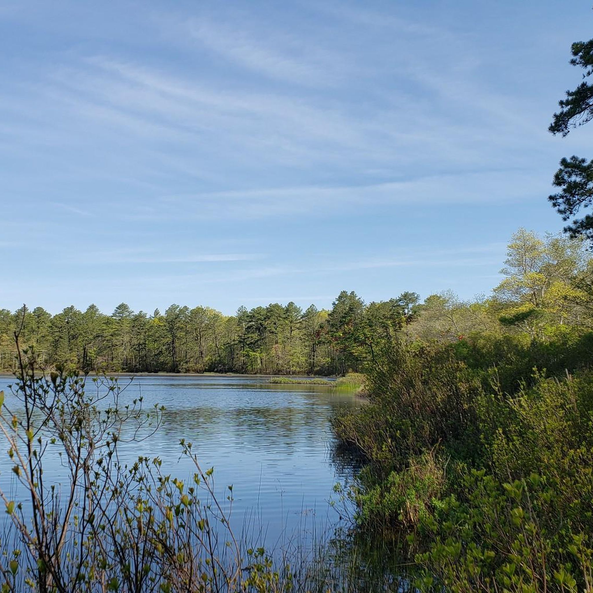
Artist Lake is a large kettlehole lake with warm water fish, including largemouth bass, pickerel, crappie, and perch. This pond is known for its irregular shape, formed by melting glacial ice. It is made of three connected basins and has a surface area of 30 acres. Hand-launched boats are permitted, and shoreline access is limited but available.
0
0
Spring Lake is on the eastern edge of the Spring Lake Golf Course, and this area is open weekdays from 6:30 a.m.– 6 p.m. and weekends from 5:30 a.m.– 6 p.m. Just north of Spring Lake is the public Bartlett Pond Park, another enjoyable part of this green space.
0
0

The Wardenclyffe Tower, also known as the Tesla Tower, was an early experimental wireless transmission station designed and built by Nikola Tesla from 1901 to 1902.
0
0
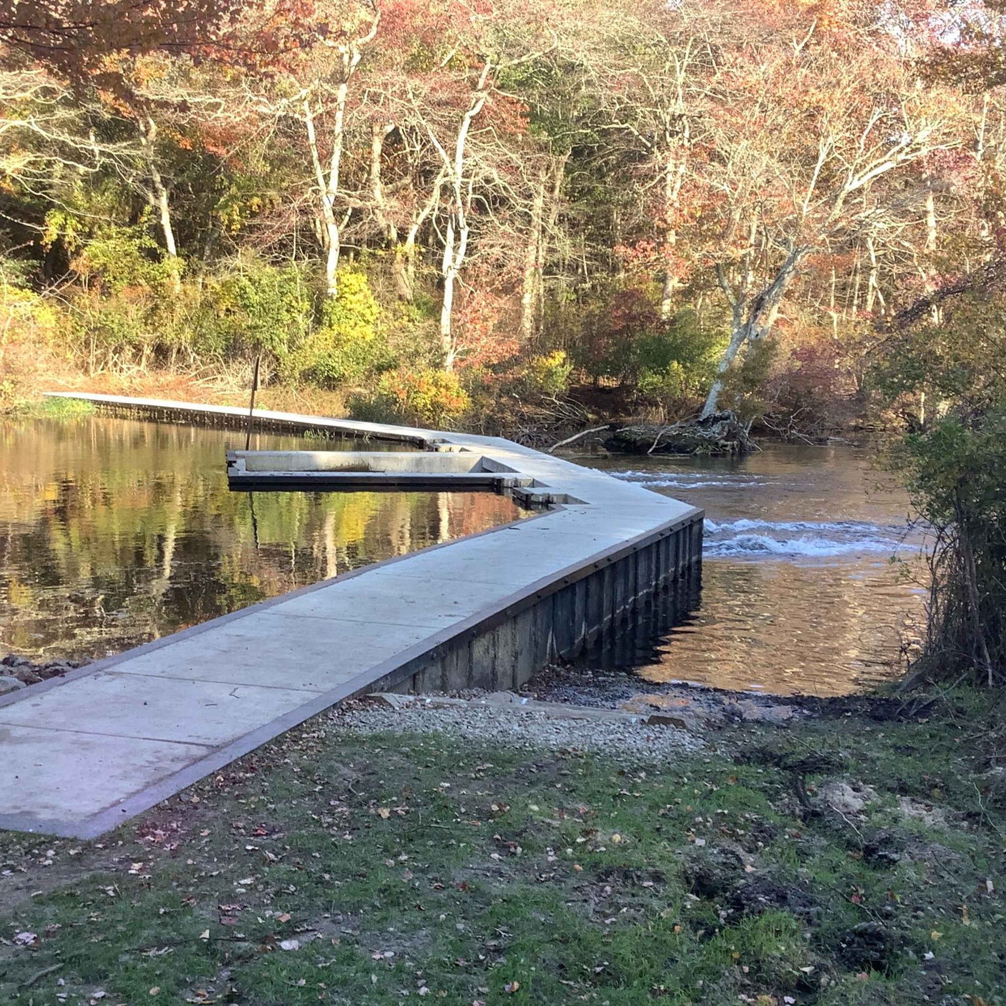
The Peconic River flows through the east end of Long Island, and it is just about 15 miles long. The river is an important ecosystem for fish and birds. The river is used by people for biking, running, fishing, kayaking, and birdwatching.
0
0

Burma Boulevard passes straight through the airstrip at Calverton Executive Airpark. It's an intriguing place to ride your bike.
0
0
Frequently Asked Questions
How many road cycling routes are available around Shirley, and what are their difficulty levels?
There are over 30 road cycling routes around Shirley, New York. The majority are classified as moderate, with 22 routes, while 8 are considered easy. There are no difficult routes listed, making the area accessible for a wide range of cyclists.
What do other road cyclists enjoy most about the routes around Shirley?
The road cycling routes around Shirley are highly rated by the komoot community, with an average score of 4.2 stars from over 10 reviews. Cyclists often praise the diverse routes, which include coastal paths, river routes, and green spaces, offering options for various ability levels and scenic views.
Are there any particularly scenic road cycling routes in the Shirley area?
Yes, the region offers several scenic routes. For picturesque tree-lined roads and ocean views, consider the Shore Road - Ocean View loop from Bellport. The Peconic River loop from Yaphank also provides varied scenery along the Peconic River.
Are there any circular road cycling routes around Shirley?
Yes, many of the routes around Shirley are designed as loops. Popular circular routes include the Mill Pond – Speonk River loop from Moriches, the Peconic River loop from Yaphank, and the Nathaniel Hawkins Cemetery – Spring Lake loop from Bellport.
What kind of terrain and elevation can I expect on road cycling routes in Shirley, New York?
Road cycling around Shirley, New York, generally features well-paved surfaces and gentle elevation changes. Routes often traverse coastal areas, green spaces, and scenic roads. While some routes like the Peconic River loop from Yaphank offer some rolling terrain, the overall elevation gains are typically modest, making it suitable for various fitness levels.
Are there any family-friendly road cycling routes in Shirley?
Shirley Chisholm State Park, located nearby, offers 10 miles of biking and hiking trails, including paved paths, which are excellent for family-friendly cycling. The park even provides loaner bikes and features a paved loop called Fountain Ring Drive, ideal for a relaxed ride.
What natural features or landmarks can I explore while road cycling near Shirley?
While cycling, you can explore several natural features and landmarks. Highlights include Glacier Ridge Preserve, Terrell River County Park, and Calverton Ponds Preserve. Shirley Chisholm State Park also offers expansive views and opportunities for bird watching.
What is the best time of year for road cycling in Shirley, New York?
The best time for road cycling in Shirley, New York, is generally during the spring, summer, and fall months when the weather is mild and pleasant. The region's diverse landscapes, including coastal areas and green spaces, are particularly enjoyable during these seasons.
Are there any long-distance road cycling routes in the Shirley area?
Yes, there are several routes that offer longer distances. For example, the Peconic River loop from Yaphank covers 38.6 miles (62.1 km), and the Shore Road - Ocean View loop from Bellport is also a substantial 38.6 miles (62.1 km) ride.
Where can I find parking for road cycling routes in Shirley?
Specific parking information for each route can often be found on the individual route pages on komoot. Additionally, places like Shirley Chisholm State Park, which has dedicated cycling trails, typically offer parking facilities for visitors.
Are there any cafes or amenities along the road cycling routes in Shirley, New York?
While specific cafes are not detailed for every route, the routes often pass through or near local communities. For example, the Nathaniel Hawkins Cemetery – Spring Lake loop from Bellport leads through local communities where amenities like cafes and shops would likely be available.
Can I access road cycling routes in Shirley using public transport?
Shirley, New York, is part of Long Island, which has public transportation options. While direct access to every trailhead via public transport might vary, researching local bus or train services to the general area of the route's starting point is recommended. Specific public transport details for each route are best checked on komoot's individual route pages.
Most popular routes around Shirley
Most popular attractions around Shirley

Get inspired with the komoot mobile app


Explore more
Browse the best Road cycling routes in other regions.
