The best road cycling routes around Fort Salonga
4.3
(13)
422
riders
53
rides
Road cycling around Fort Salonga offers diverse routes across a landscape characterized by its proximity to the Long Island Sound and various natural preserves. The area features coastal roads and rolling hills, providing varied terrain for cyclists. Adjacent natural areas like Sunken Meadow State Park and Makamah Nature Preserve contribute to the scenic backdrop, even if their internal trails are not always paved. This blend of features allows for road cycling routes that combine views with undulating topography.
Best road…
Last updated: November 13, 2026
18
riders
60.9km
02:48
430m
430m
Moderate road ride. Good fitness required. Mostly well-paved surfaces and easy to ride.
11
riders
74.7km
03:13
590m
590m
Moderate road ride. Good fitness required. Mostly well-paved surfaces and easy to ride.

2
riders
59.3km
02:40
410m
410m
Moderate road ride. Good fitness required. Some segments of this route may be unpaved and difficult to ride.
4.0
(1)
2
riders
53.5km
02:18
360m
360m
Moderate road ride. Good fitness required. Mostly well-paved surfaces and easy to ride.
18
riders
50.7km
02:26
560m
560m
Moderate road ride. Good fitness required. Mostly well-paved surfaces and easy to ride.
Get access to more routes and recommendations from other explorers.
Already have an account?
Our route recommendations are based on thousands of hikes, rides, and runs completed by other people on komoot.
Start today with a free account
Your next adventure awaits.


Tips from the Community

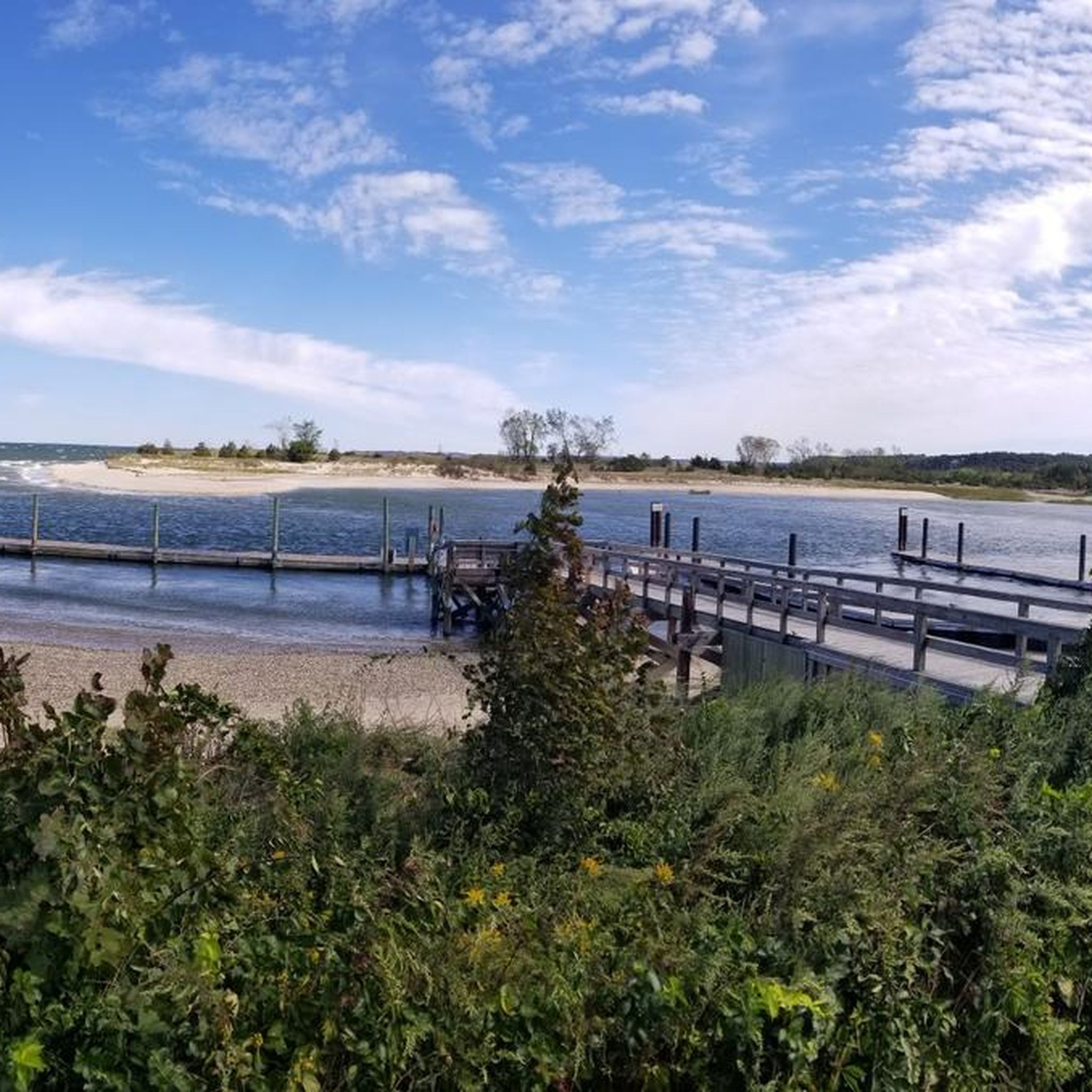
This beach is a nice spot for swimming, with restrooms, playground equipment, campsites and a refreshment stand. The water usually passes cleanliness standards.
0
0

Built around 1925 as a hunting lodge for Marshall Field III, an investment banker and heir to the fortune of his grandfather, the Chicago entrepreneur Marshall Field. A few buildings of the estate are still standing, and there are small tours for a fee. The view of the ocean from this place is amazing.
0
0

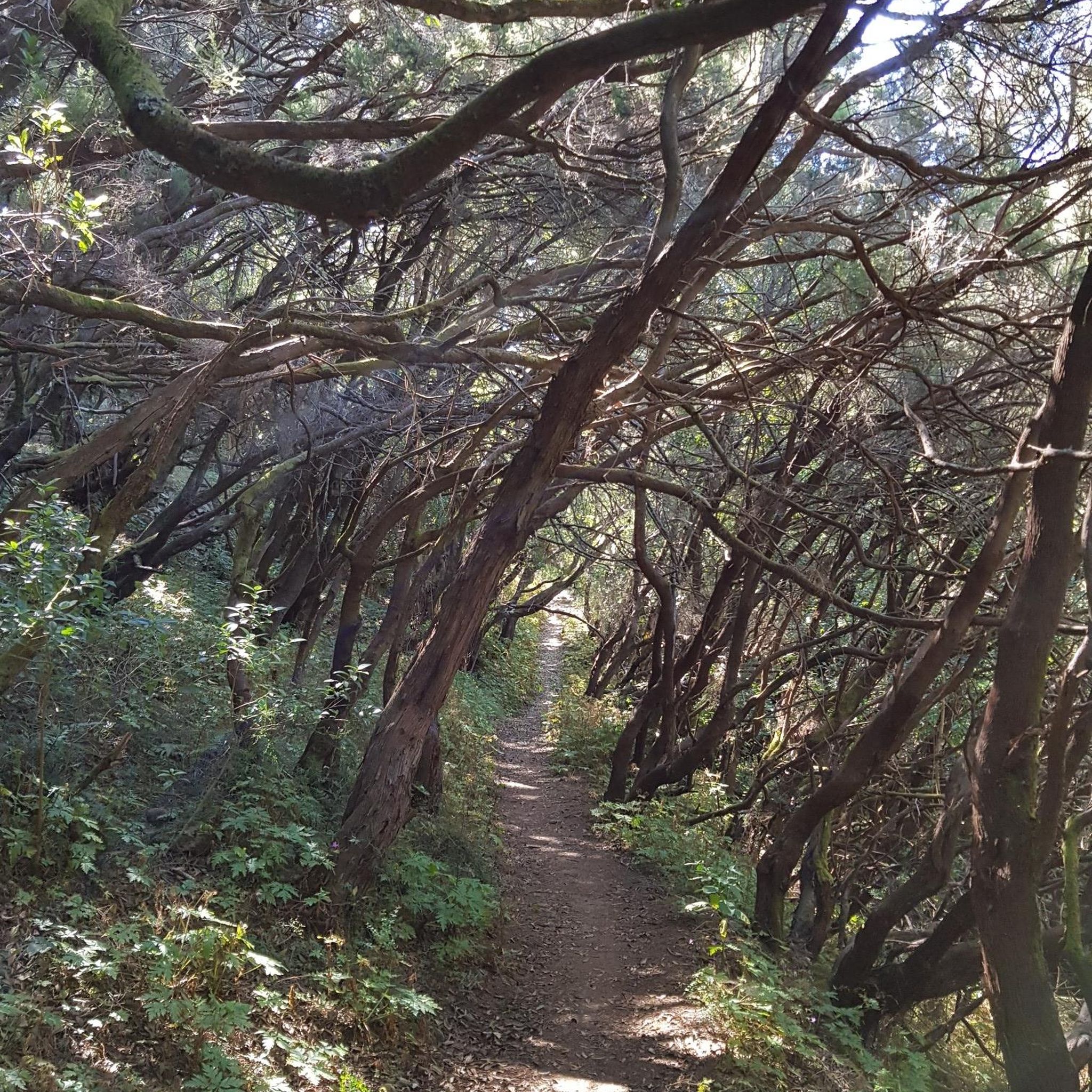
Situated on the western bank of the Nissequogue River, near its estuarine mouth, this 93 acre forested property is utilized primarily for hiking. Arthur Kunz County Park features tidal creeks, a lush, mixed deciduous forest, rolling hills and valleys, and quaint hidden ponds all of which provide important habitat for wildlife. The trail system in the park provides a scenic link in a section of the Long Island Greenbelt Trail which heads north from Arthur Kunz Park to its terminus at Sunken Meadow State Park.
0
0
Gorgeous views all around, very quiet and secluded. It'd be a lovely spot to have lunch and read a book. The roads there are very hilly and the town it's in is quite wooded and forest-y; it doesn't feel like the usual strip-mall suburbs of Long Island.
0
0


This is a pleasant spot to take a break by the river.
0
0
The view is definitely worth the small detour from Sunken Meadow Road!
1
0
The lighthouse sits on the northern tip of Old Field. It was first built in 1823, then rebuilt in 1868. The U.S. Coast Guard took it during WWII but gave it back to the Old Field community afterwards.
0
0
Frequently Asked Questions
How many road cycling routes are available around Fort Salonga?
There are over 45 road cycling routes around Fort Salonga, offering a diverse range of options for cyclists. This includes 10 easy routes and 35 moderate routes, ensuring there's something for various skill levels.
What kind of terrain can I expect when road cycling in Fort Salonga?
Road cycling in Fort Salonga features a mix of coastal roads and rolling hills. The area's proximity to the Long Island Sound provides scenic views, while the diverse topography offers varied terrain beyond flat stretches, making for engaging rides.
What is the best time of year for road cycling in Fort Salonga?
The best time for road cycling in Fort Salonga is generally during the spring, summer, and fall months. These seasons offer pleasant weather conditions, allowing cyclists to fully enjoy the scenic coastal views and verdant landscapes without the challenges of winter conditions.
Are there options for beginner road cyclists in Fort Salonga?
Yes, Fort Salonga offers several options suitable for beginner road cyclists. There are 10 easy routes available, providing a gentler introduction to the area's cycling paths. These routes are designed to be less demanding, allowing new riders to enjoy the scenery comfortably.
Are there challenging road cycling routes for experienced riders?
Experienced riders will find plenty of challenging options around Fort Salonga. The area features 35 moderate routes, many of which include significant elevation gains and varied terrain. For example, the Kings Park to Old Field Point Light loop is a moderate 46.4-mile route with notable climbs and coastal views.
What do other cyclists say about road cycling in Fort Salonga?
The road cycling routes in Fort Salonga are highly rated by the komoot community, with an average score of 4.4 stars from over 9 reviews. More than 300 road cyclists have explored the area using komoot, often praising the varied terrain and scenic coastal views.
Are there any interesting landmarks or points of interest to see along the road cycling routes?
Yes, several interesting landmarks and points of interest are accessible near the road cycling routes. You might encounter historical sites like Caumsett Manor or natural areas such as Arthur Kunz County Park and Avalon Nature Preserve, offering opportunities to pause and explore.
Can I find natural preserves or parks to explore near the cycling routes?
Absolutely. Fort Salonga is bordered by significant natural areas. You can cycle near Sunken Meadow State Park, known for its lush trails, and Makamah Nature Preserve. While some internal trails may not be paved for road bikes, the surrounding roads offer scenic views of these preserves. Highlights like Blydenburgh County Park are also nearby.
Are there any loop routes available for road cycling in Fort Salonga?
Yes, many road cycling routes in Fort Salonga are designed as loops, allowing you to start and end at the same point. Popular loop routes include the Greenlawn to Nissequogue loop and the Price's Bend Beach Loop, both offering varied terrain and scenic coastal sections.
Where can I find parking for road cycling routes in Fort Salonga?
While specific parking areas for each route are not detailed, given Fort Salonga's residential nature and proximity to parks, you can often find parking near public access points for parks like Sunken Meadow State Park or in designated areas within nearby villages such as Huntington, which offer amenities and access to the wider road network.
Are there any cafes or restaurants near the road cycling routes in Fort Salonga?
Fort Salonga itself is a peaceful hamlet, but its proximity to the village of Huntington means cyclists have access to a variety of shops, cafes, and restaurants. Planning your route to pass through or near Huntington can provide convenient stops for refreshments and meals.
What are some of the longer road cycling routes in the Fort Salonga area?
For those seeking longer rides, the Fort Salonga area offers several routes over 35 miles. The Kings Park to Old Field Point Light loop is a substantial 46.4-mile route, and the Sunken Meadow Creek Marsh – Arthur Kunz County Park loop from Northport covers about 34.9 miles, both providing extensive cycling experiences.
Can I combine road cycling with visits to historical sites?
Yes, you can easily combine road cycling with visits to historical sites. Routes in the area may pass near points of interest like Caumsett Manor. The Caumsett State Historic Park Preserve via West Hills loop, for instance, brings you close to this historic area, allowing for a cultural stop during your ride.
Most popular attractions around Fort Salonga

Get inspired with the komoot mobile app


Explore more
Browse the best Road cycling routes in other regions.
