The 9 Most Amazing Peaks around Mainhardt
Best mountain peaks around Mainhardt are characterized by a charming hill range within the Mainhardt Forest, rather than towering peaks. This region, part of the Swabian-Franconian Forest, offers several elevated points that provide scenic views and opportunities for outdoor activities. Mainhardt is also recognized as a climatic health resort with historical significance, featuring Roman-era remnants. The area's natural features and historical context make it a rewarding destination for outdoor enthusiasts.
Best mountain peaks around Mainhardt
- The most popular mountain peaks…
Last updated: October 9, 2026
Juxkopf Tower and Juxkopf Hut
Highlight • Viewpoint
Translated by Google •
Tip by

Steinknickle Observation Tower
Highlight • Viewpoint
Translated by Google •
Tip by

Sign up now to discover places like this
Get recommendations on the best single tracks, peaks, & plenty of other exciting outdoor places.
Hohe Brach Transmission Tower
Highlight • Monument
It's just a shame that you don't have a view …
Translated by Google •
Tip by

Hohe Brach Telecommunications Tower
Highlight • Monument
Translated by Google •
Tip by

Flinsberg Natural Monument
Highlight • Natural Monument
Translated by Google •
Tip by

Sign up for free to discover even more peaks around Mainhardt.
Already have an account?
Start today with a free account
Your next adventure awaits.
Popular around Mainhardt
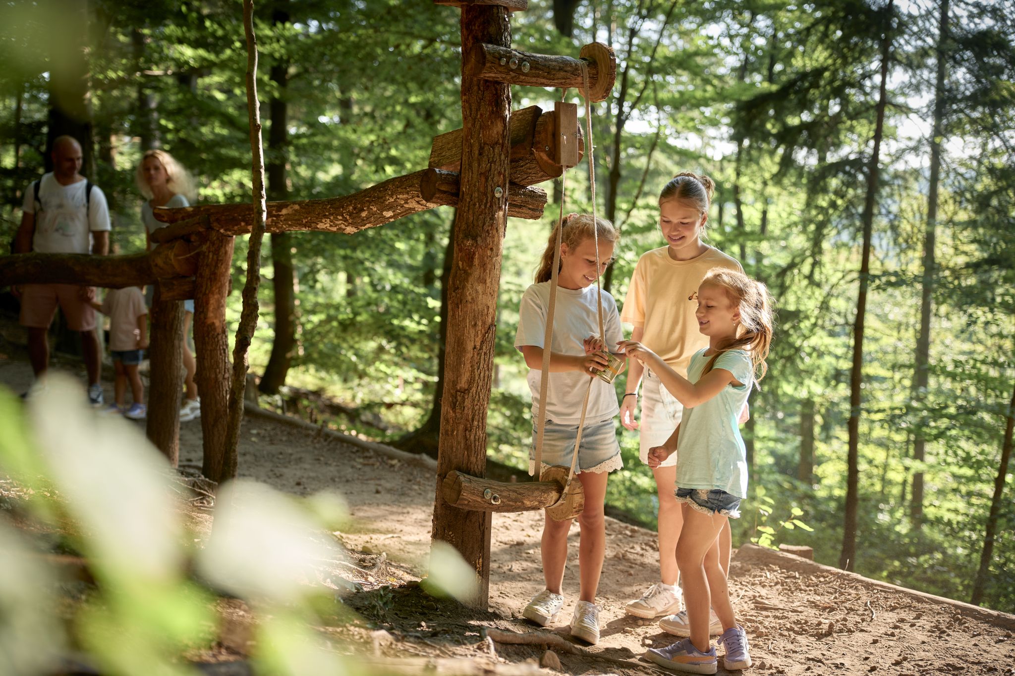
Forest & Wonder – family hikes in HeilbronnerLand

MTB, gravel and bikepacking in the Süden ganz oben
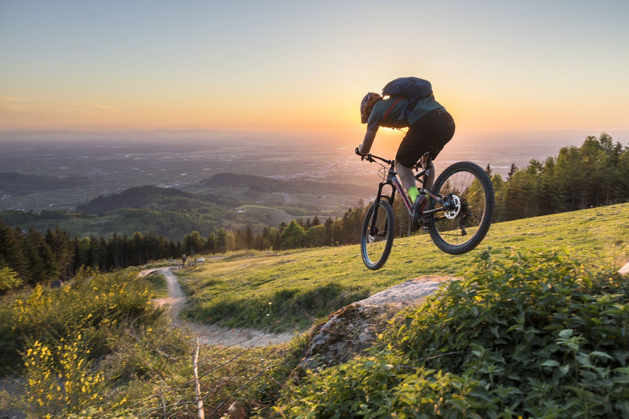
MTB flow in BW! Trails from the Schwarzwald to the Odenwald
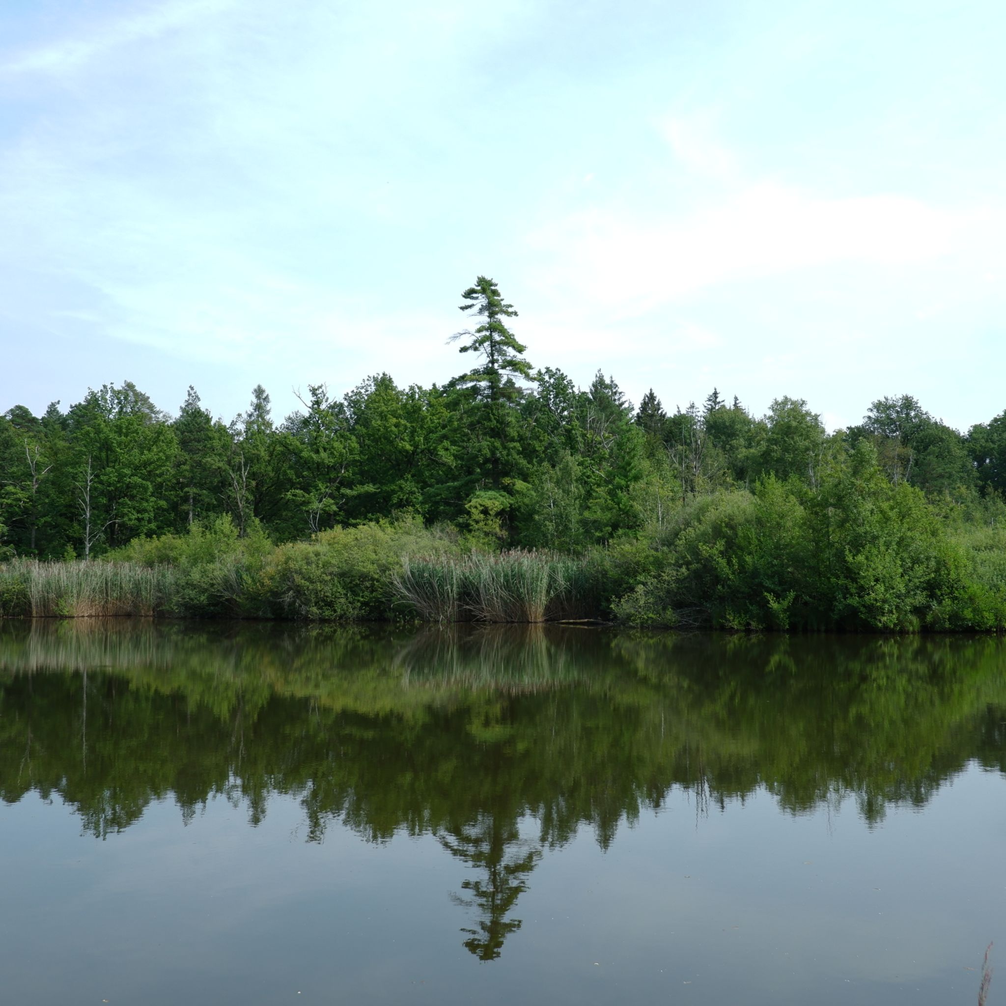
Hiking around Mainhardt
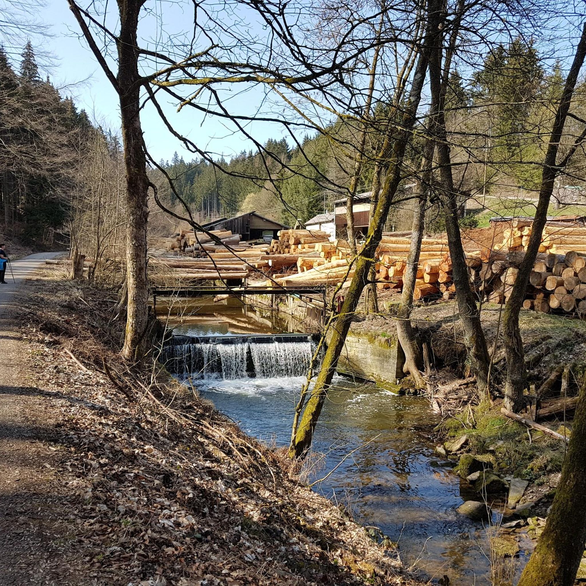
Cycling around Mainhardt
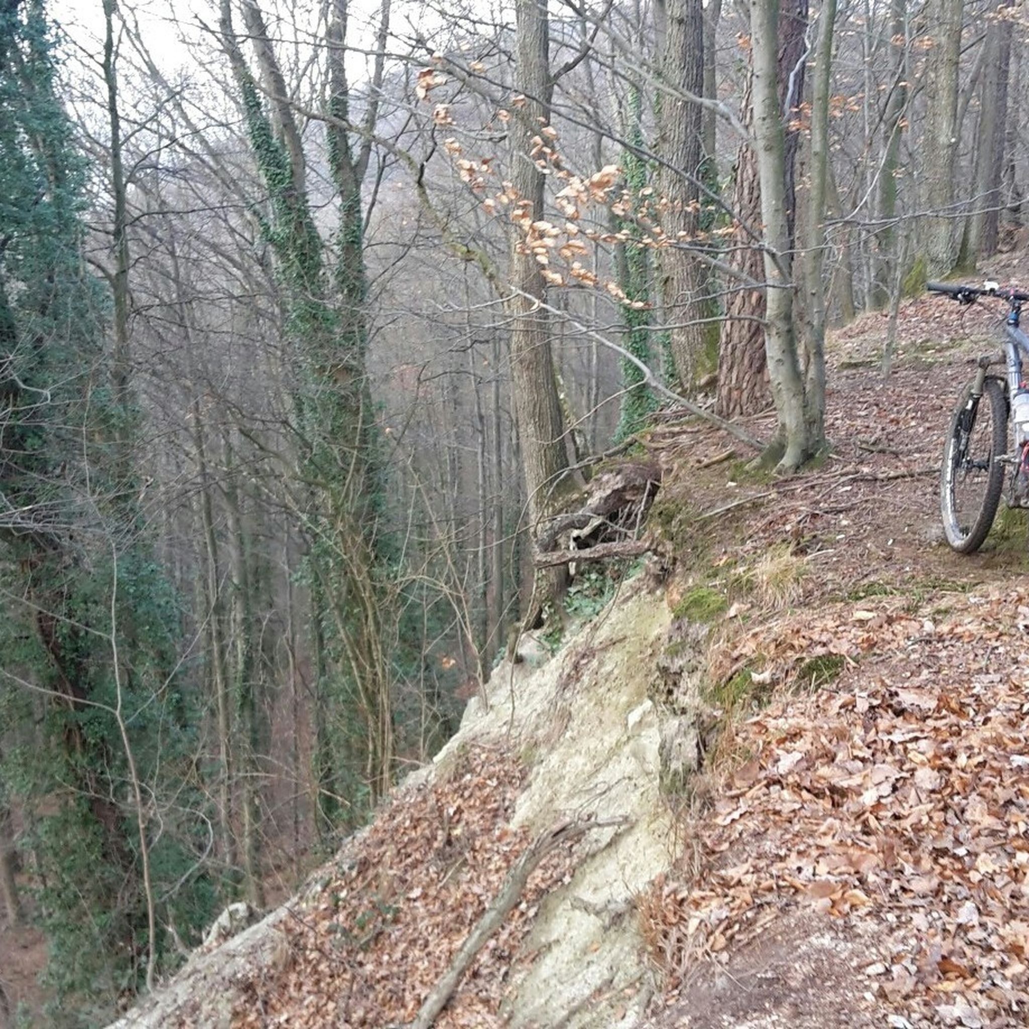
MTB Trails around Mainhardt
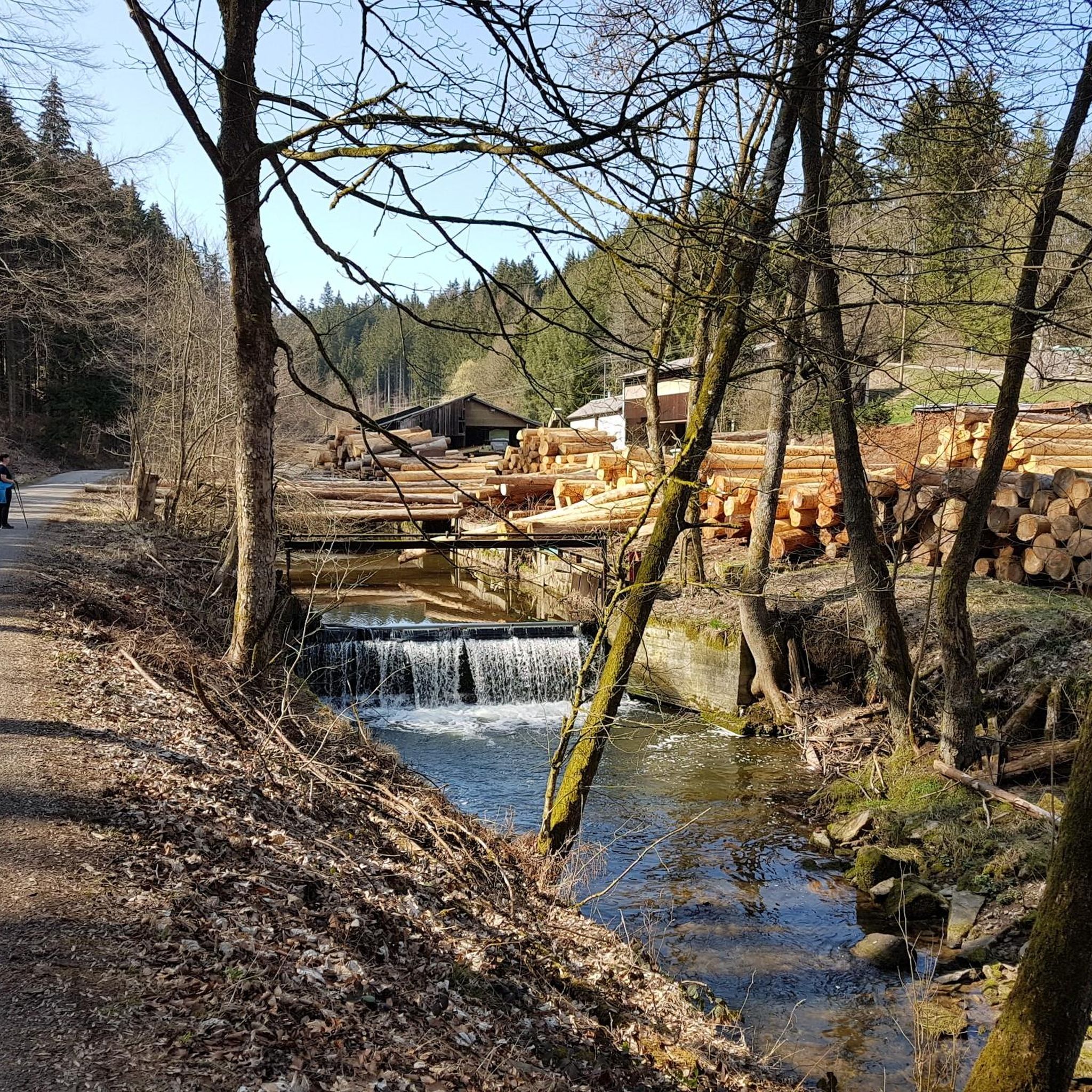
Road Cycling Routes around Mainhardt
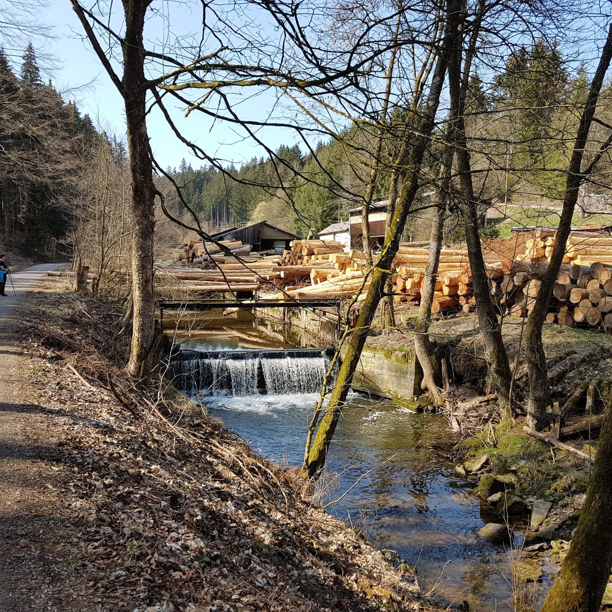
Running Trails around Mainhardt

Gravel biking around Mainhardt
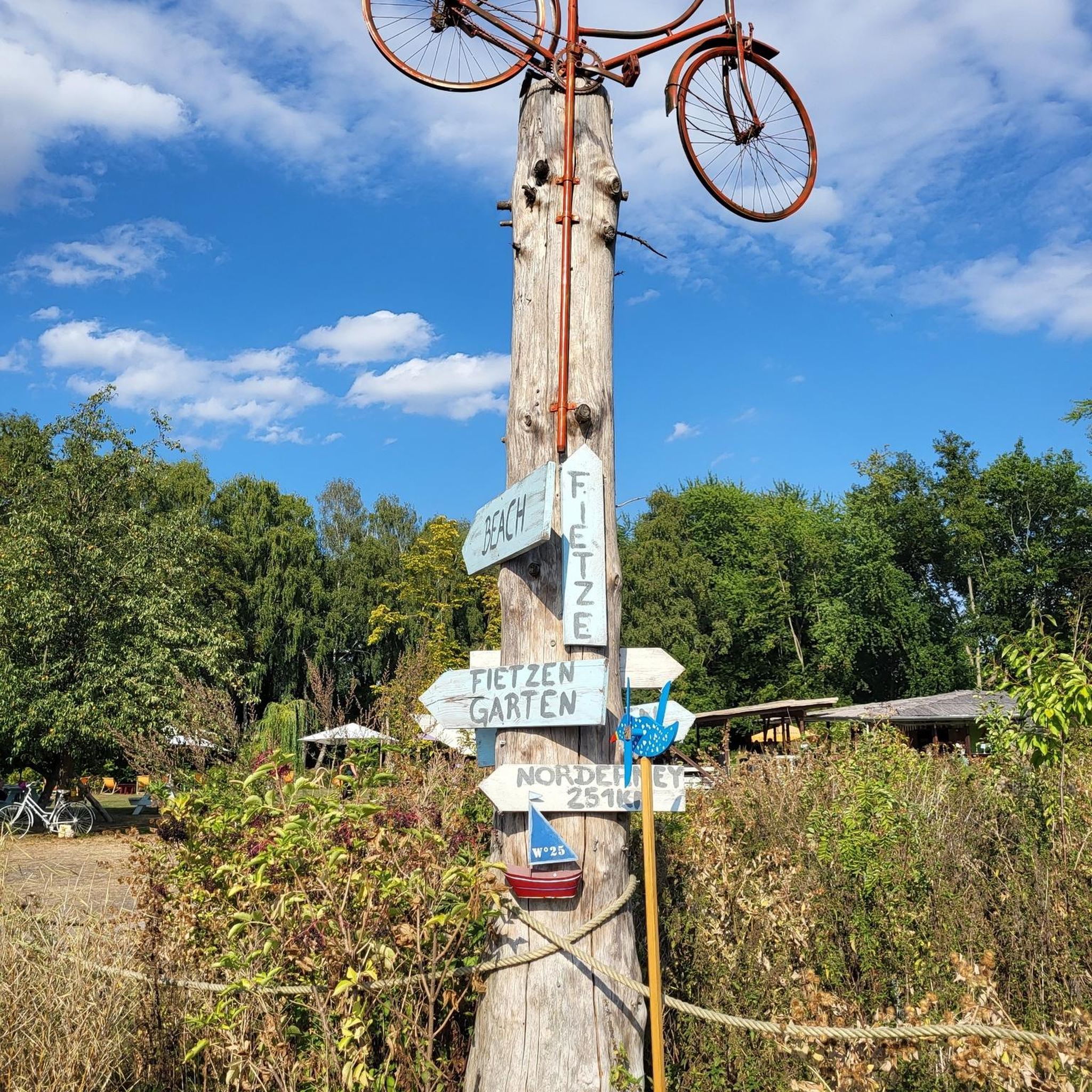
Mountain Hikes around Mainhardt
Other adventures around Mainhardt


Tips from the Community

The telecommunications tower is located on the Hohe Brach, the highest point in the Rems-Murr district, between the villages of Erlach and Grab in the municipality of Großerlach. The tower itself is 133 meters high, with its summit reaching a total elevation of over 719 meters above sea level. Visitor Information Accessibility: Unfortunately, entering the telecommunications tower is not permitted; there is no publicly accessible viewing platform. Reaching the Tower: The tower is very impressive from below and can be a worthwhile destination for a trip to the Hohe Brach. The area is very secluded and situated in the forest, which ensures clean air. Accessibility: ...
1
0

The tower is currently being renovated and is temporarily closed – but the walk there is worthwhile for nature lovers and those seeking peace and quiet alike.
7
0

The tower is about 30m high and is looked after by the Swabian Alb Association, Neuhütten local group. You have a great view over the Weinsberg valley, the Hohenlohe plain, the Waldenburg mountains, the Limpurger mountains, the Mainhardt forest and the Odenwald. The key is available nearby, see gemeinde-wuestenrot.de/fileadmin/Dateien/Dateien/Steinknickle_%C3%96ffnungszeiten.pdf
2
0

Here is a short easy fast trail 👌
0
0

At 586 m, the Hohe Brach is the highest elevation in the Rems-Murr district.
1
0
The Juxkopfturm in Spiegelberg is a 22-meter-high observation tower that sits on the Juxkopf (533 m above sea level). It was built in 1932 by the Swabian Alb Association from wood on a concrete base and offers excellent panoramic views. From the platform you can overlook the valleys of the Neckar, Rems and Jagst, as well as see the Swabian Alb and the Northern Black Forest. The tower is open on Sundays and public holidays from the beginning of April to the end of October. When the weather is nice, it is a popular place for hikers and day trippers who want to enjoy the breathtaking view.
6
1
The Juxkopfhütte is an absolute highlight for every hiking fan! A rustic wooden hut, perched on a mountain top, offering you a 360-degree panoramic view that even the clouds will be jealous of. Here you can unwind and enjoy the fresh air of the Swabian-Franconian Forest to the fullest. With 16 cozy beds, the hut is the ideal retreat, whether you've spent the day exploring the forest or just want to put your feet up. And best of all: there's a barbecue area and a playground! Ideal for daredevil grill masters and little adventurers who want to let off some energy. From the beginning of April to the end of October, the hut is open to anyone who wants to have a good time in nature. So, grab your hiking gear, get ready for a bit of "jux" and head off to the mountains!
6
1

An impressive tower. Unfortunately not accessible... https://youtu.be/fVb-tryn_7Y
2
0
Frequently Asked Questions
What are some prominent elevated points in the Mainhardt region offering scenic views?
The Mainhardt region, part of the Swabian-Franconian Forest, features a charming hill range with several notable elevated points. These include the Hohe Brach, the highest point in the Mainhardt Forest at 586.4 meters, offering tranquil views. The Altwald near Großerlach provides far-reaching views from its treeless hilltop, and the Flinsberg near Oberrot is known for its unique flint block outcrops. The Kirgel ridge, with the Kerner Tower, offers excellent vistas of the Rot and Kocher river valleys.
Which observation towers provide the best panoramic views around Mainhardt?
For expansive views, consider visiting the Juxkopf Tower and Juxkopf Hut, which offers a view of the Swabian-Franconian forest mountains and beyond. The Juxhof Tower also provides a brilliant all-round view. Additionally, the Steinknickle Observation Tower is highly recommended for great views and a peaceful experience. The Kerner Tower on the Kirgel ridge also promises excellent vistas.
What is the highest point in the Mainhardt Forest?
The highest point in the Mainhardt Forest is the Hohe Brach, situated at 586.4 meters above sea level. While it hosts the Hohe Brach Transmission Tower, the summit itself is forested and does not offer panoramic views, but it provides a tranquil experience amidst nature.
Beyond elevated points, what other natural attractions can I explore in the Mainhardt region?
The Mainhardt area is rich in natural beauty, featuring several picturesque gorges and waterfalls. Notable examples include the Hohler Stein, Dentelbach gorge, Hüttlenwald Gorge, and the Front Hörschbach Waterfall. These spots offer adventurous hiking trails and unique rock formations. The Flinsberg Natural Monument is also unique for its mighty outcrops of flint blocks.
Are there any historical sites or cultural attractions near the mountain peaks of Mainhardt?
Yes, Mainhardt is located along the Upper Germanic-Rhaetian Limes, a UNESCO World Heritage Site. Visitors can explore remnants of Roman fortifications, including fort walls and watchtowers. The Limes Nature Trail offers informative panels about the Roman occupation, and the local Römer-Museum provides further insights with archaeological finds.
What kind of hiking trails can I find around the Mainhardt peaks?
The Mainhardt region offers diverse hiking opportunities, from tranquil walks through forested landscapes to more adventurous trails through gorges and past waterfalls. Many elevated points, like the Steinknickle Observation Tower, are accessible via enjoyable walks. The Limes Nature Trail also provides a historical hiking experience.
What outdoor activities are available near the Mainhardt peaks besides hiking?
The Mainhardt region is excellent for various outdoor activities. You can find numerous cycling routes, including Road Cycling Routes around Mainhardt, MTB Trails around Mainhardt, and Gravel biking around Mainhardt. These guides offer routes of varying difficulties, allowing you to explore the scenic landscapes on two wheels.
Are there family-friendly options for visiting the elevated points around Mainhardt?
Yes, many areas around Mainhardt are suitable for families. The walk to the Steinknickle Observation Tower is considered family-friendly, and the tower area often includes amenities like playgrounds. The general hill range offers accessible paths for walks, and the natural features like gorges can be explored by families looking for a bit more adventure.
What do visitors particularly enjoy about the viewpoints around Mainhardt?
Visitors frequently praise the gorgeous all-round views from observation towers like the Juxkopf Tower and Juxhof Tower. The peaceful atmosphere and opportunities for nature appreciation are also highly valued, especially on walks to spots like the Steinknickle Observation Tower. Some locations even offer amenities like seating areas, barbecue spots, and refreshments.
Is the Mainhardt region suitable for dog-friendly outdoor activities?
Yes, the Mainhardt Forest and its numerous trails are generally very dog-friendly. The extensive network of hiking paths and natural areas provides ample space for dogs to explore. Always ensure your dog is under control and check for any specific local regulations regarding pets in certain protected areas or near wildlife.
What is the best time to visit the Mainhardt peaks for outdoor activities?
The Mainhardt region is enjoyable throughout the year. Spring and autumn offer pleasant temperatures for hiking and cycling, with beautiful foliage changes. Summer is ideal for longer days and exploring gorges and waterfalls. Even winter can be appealing, with unique icicle formations in places like the Hohler Stein, though some paths might be more challenging due to snow or ice.
Most popular routes around Mainhardt
Most popular attractions around Mainhardt

Get inspired with the komoot mobile app


Explore more
See even more amazing summits around Mainhardt with these guides:
