The best road cycling routes around Mainhardt
4.6
(946)
10,137
riders
16
rides
Road cycling routes around Mainhardt are set within the Swabian-Franconian Forest Nature Park, characterized by rolling hills, expansive meadows, and dense forests. The region features varied terrain, including the Mainhardt Forest with its highest point, the Hohe Brach, at 586.4 meters above sea level. Cyclists encounter both flat sections and climbs across these hills, with notable features such as the Kocher Valley, Rottal, and Brettachtal. The treeless Altwald, near Großerlach, also offers wide views across the forest landscape.
Best road…
Last updated: May 24, 2026
4.2
(11)
101
riders
55.8km
02:35
600m
600m
Moderate road ride. Good fitness required. Mostly well-paved surfaces and easy to ride.
5.0
(5)
38
riders
54.7km
02:29
600m
600m
Moderate road ride. Good fitness required. Mostly well-paved surfaces and easy to ride.

Sign up for free
3.0
(1)
22
riders
25.3km
01:19
250m
250m
Easy road ride. Great for any fitness level. Mostly well-paved surfaces and easy to ride.
4.0
(1)
11
riders
37.2km
01:41
430m
430m
Moderate road ride. Good fitness required. Mostly well-paved surfaces and easy to ride.
4.0
(3)
9
riders
28.7km
01:24
390m
390m
Moderate road ride. Good fitness required. Some segments of this route may be unpaved and difficult to ride.
Get access to more routes and recommendations from other explorers.
Sign up for free
Already have an account?
Our route recommendations are based on thousands of hikes, rides, and runs completed by other people on komoot.
Start today with a free account
Your next adventure awaits.
Login or Signup
Popular around Mainhardt
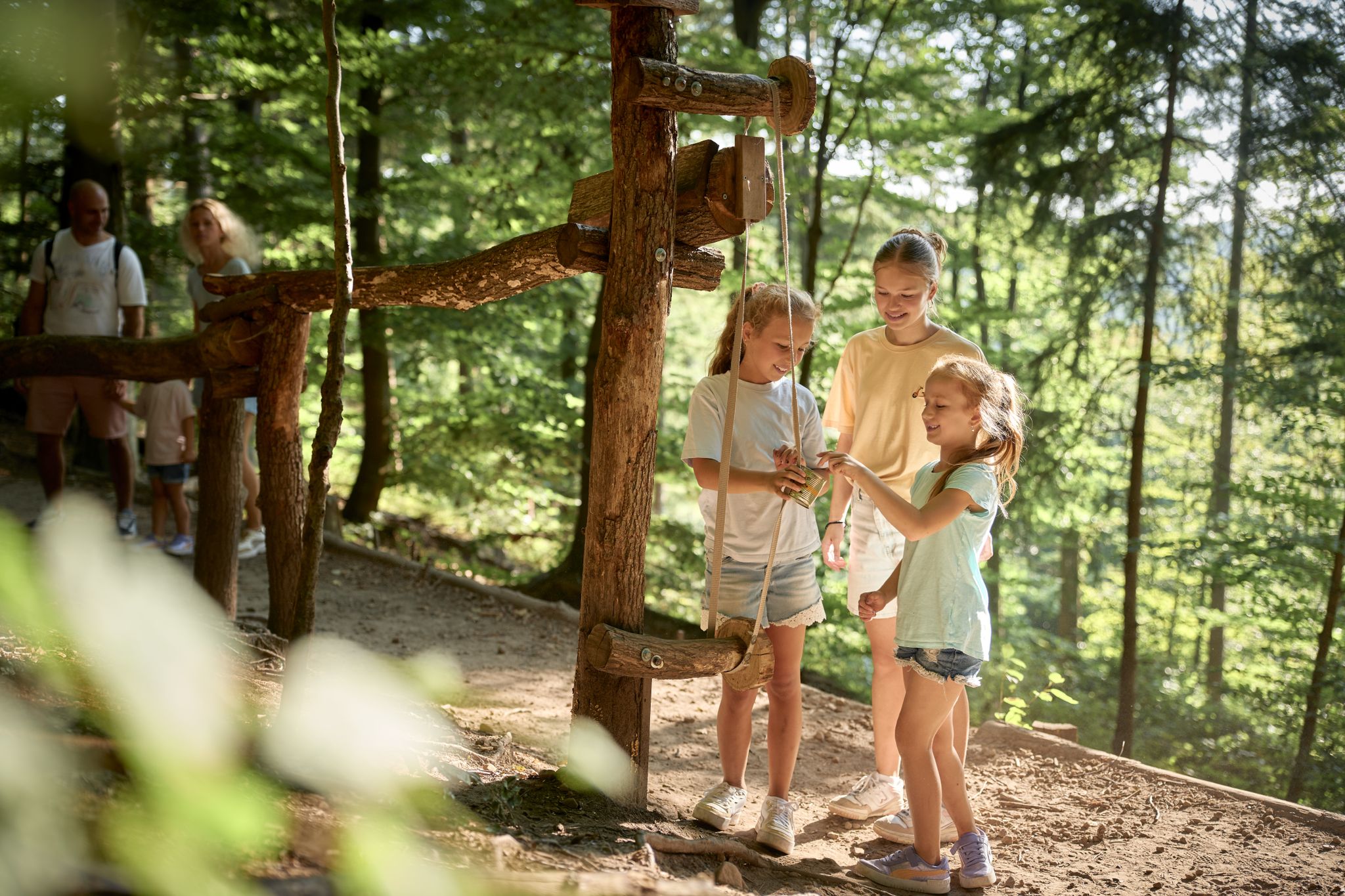
Forest & Wonder – family hikes in HeilbronnerLand
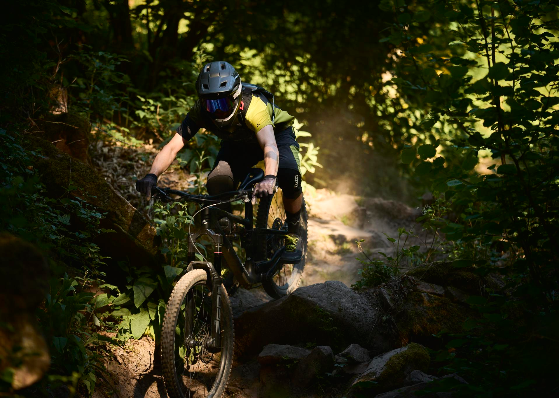
MTB, gravel and bikepacking in the Süden ganz oben
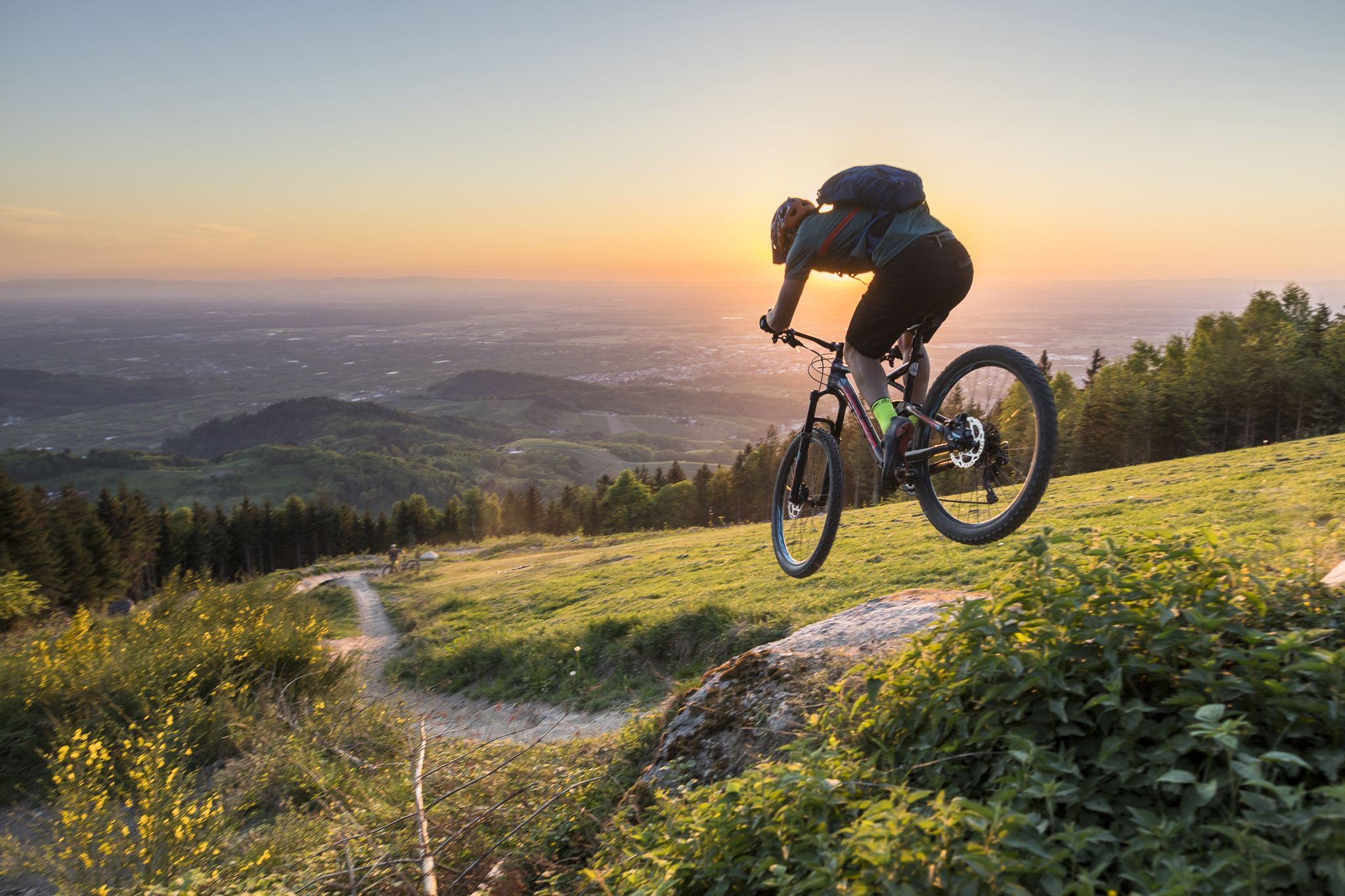
MTB flow in BW! Trails from the Schwarzwald to the Odenwald
Hiking around Mainhardt
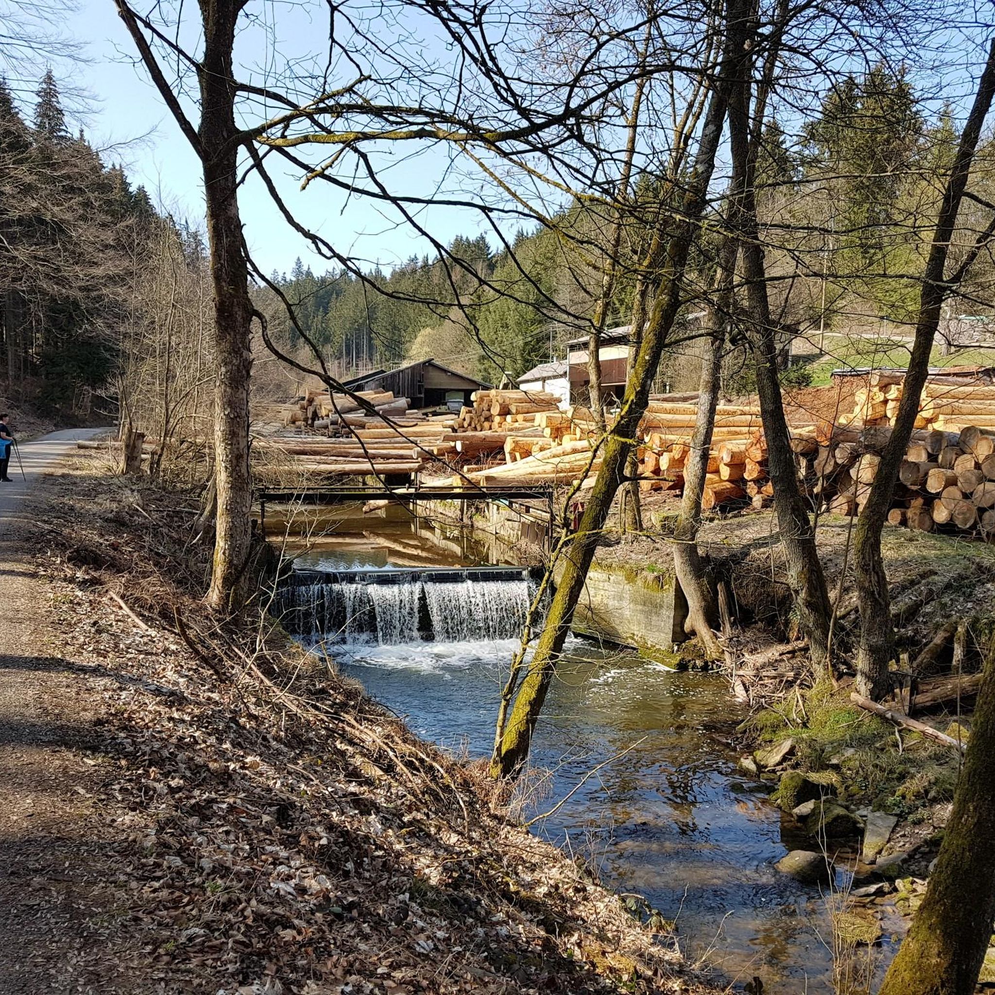
Cycling around Mainhardt
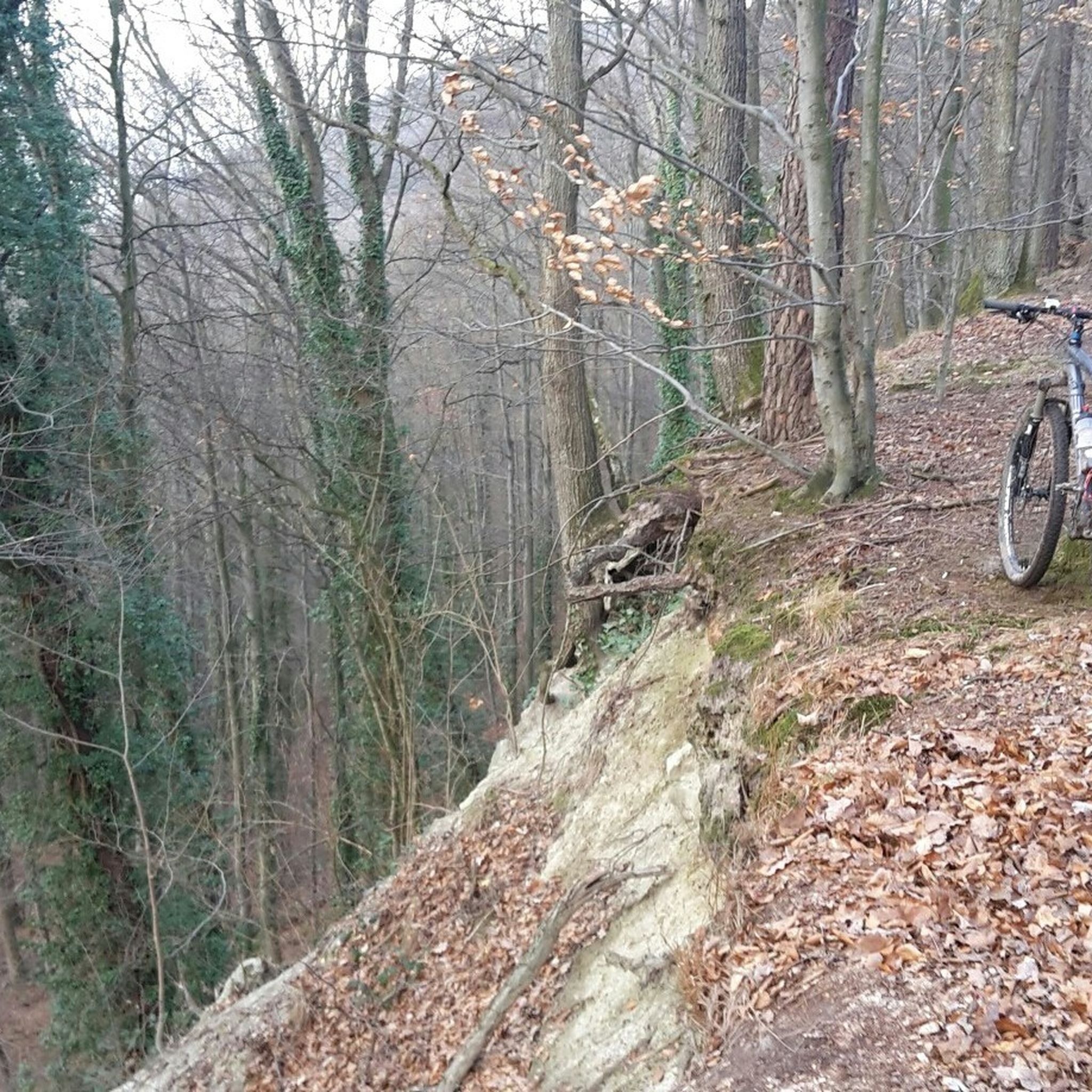
MTB Trails around Mainhardt
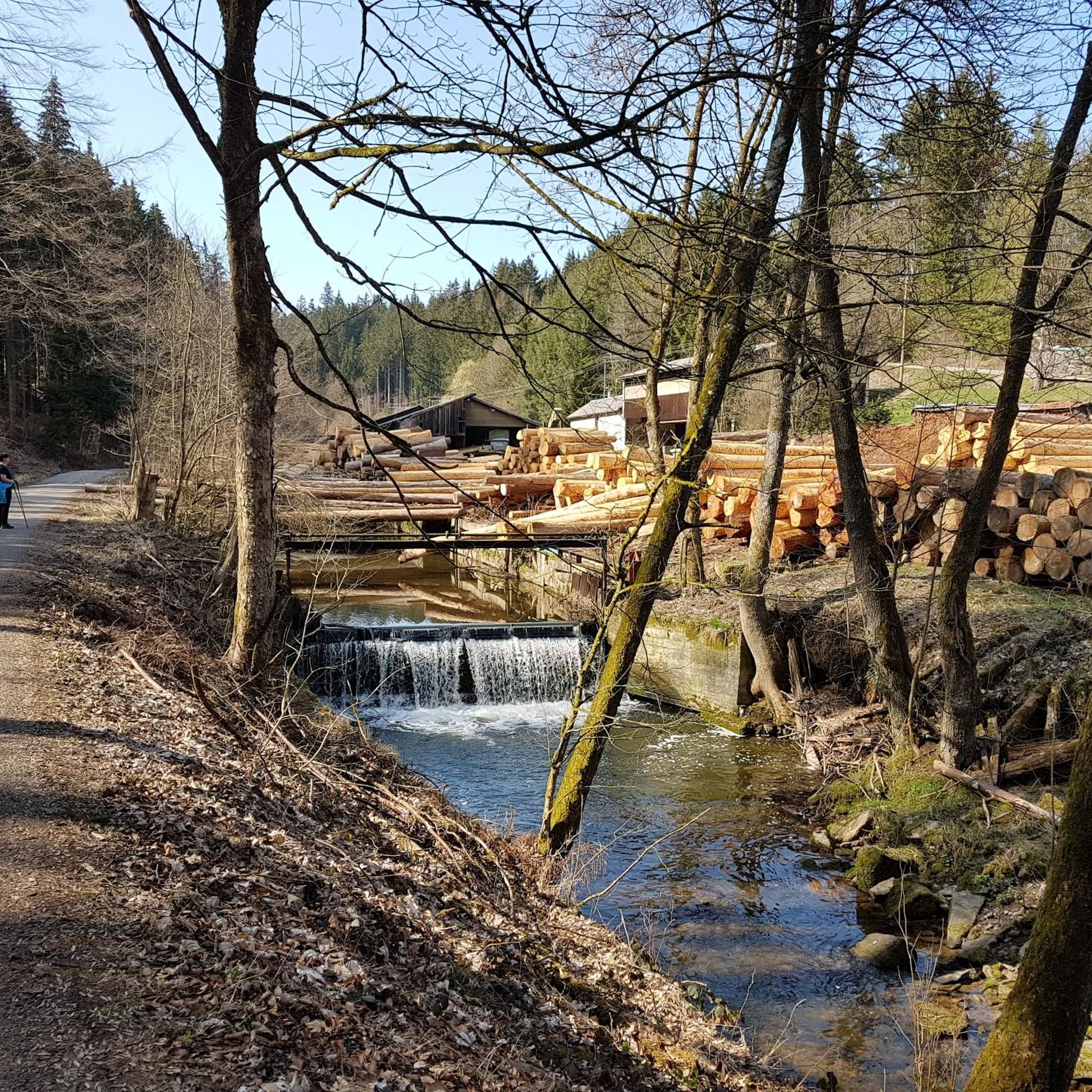
Running Trails around Mainhardt
Gravel biking around Mainhardt
Mountain Hikes around Mainhardt
Other adventures around Mainhardt


Tips from the Community

Art exhibition by Manfred Pahl
0
0

Good section with nice terrain.
1
0


The kiosk is open every Saturday and Sunday. They also serve pizza at reasonable prices. The eggnog cake is a dream. Delicious drinks or beer, whatever you like!
0
0

I don't quite understand the point, neither as a tourist attraction nor as a place to stop for a break, and it's also off the beaten track.
1
0
Between Unterhöfen and Untersteinbbach, you can avoid the country road by changing the route. The asphalt is perfectly suitable for road biking. The route winds its way peacefully through the valley past meadows and small villages.
2
0

weingut-schneckenhof.de https://share.google/GkkfKRhMX4X6z4Ego
0
0
weingut-schneckenhof.de https://share.google/GkkfKRhMX4X6z4Ego
0
0
Frequently Asked Questions
How many road cycling routes are available around Mainhardt?
There are over 18 road cycling routes around Mainhardt listed on komoot, offering a variety of experiences for different skill levels. These routes are set within the scenic Swabian-Franconian Forest Nature Park.
What kind of terrain can I expect on road cycling routes in Mainhardt?
The Mainhardt region is characterized by rolling hills, expansive meadows, and dense forests. You'll encounter both flat sections and challenging climbs, with notable features like the Mainhardt Forest, the Kocher Valley, Rottal, and Brettachtal. The highest point, Hohe Brach, reaches 586.4 meters above sea level, ensuring varied and engaging rides.
Are there easy road cycling routes for beginners in Mainhardt?
Yes, Mainhardt offers routes suitable for beginners. For example, the Weihenbronner Forest Path – Hammelwiese Junction loop from Mainhardt is an easy 25.3 km route with an elevation gain of around 251 meters, perfect for those looking for a less strenuous ride.
What is the best time of year for road cycling in Mainhardt?
The best seasons for road cycling in Mainhardt are generally spring and summer, when nature is in full bloom and the climate is mild. Autumn also provides wonderful tours amidst colorful foliage, offering a beautiful backdrop for your rides.
What do other road cyclists enjoy most about the routes in Mainhardt?
The road cycling routes in Mainhardt are highly rated by the komoot community, with an average score of 4.5 stars from over 30 reviews. Cyclists often praise the diverse terrain, from rolling hills to scenic river valleys like the Kocher and Rottal, and the well-paved surfaces that ensure a smooth ride through the picturesque Swabian-Franconian Forest.
Are there any long-distance road cycling routes in the Mainhardt area?
Yes, for those seeking longer rides, Mainhardt offers several options. The Hammelwiese Junction – Breitenauer See Circular Trail loop from Bubenorbis is a substantial 58.7 km route with over 630 meters of elevation gain, providing a good challenge for experienced riders.
Can I find road cycling routes that pass through scenic valleys?
Absolutely. Many routes in Mainhardt explore the region's beautiful river valleys. The Hammelwiese Junction – Hammerschmiede in the Rottal loop from Mainhardt, for instance, takes you through the scenic Rottal valley and surrounding forest areas, offering stunning natural vistas.
Are there any historical or natural attractions to see along the road cycling routes?
Yes, the region offers several points of interest. While cycling, you might pass by historical sites like Mainhardt Castle or Schöntal Monastery. For natural beauty, consider exploring areas near the Front Hörschbach Waterfall or the Hüttlenwald Gorge, which are part of the area's rich landscape.
Are there any circular road cycling routes available?
Yes, many of the road cycling routes around Mainhardt are designed as loops, allowing you to start and end at the same point. An example is the Gasthaus Zum Lamm Geddelsbach – Hammelwiese Junction loop from Bubenorbis, which is a moderate 36.9 km ride through rolling hills and forested sections.
What are some challenging climbs for advanced road cyclists in Mainhardt?
For advanced road cyclists seeking a challenge, the region offers climbs within its rolling hills. The Limes Pass, situated between Sulzbach-Laufen and Gaildorf, is known for its challenging ascents and spectacular views, providing a strenuous yet rewarding experience.
Are there any routes that offer expansive views of the Swabian-Franconian Forest?
Yes, the treeless Altwald near Großerlach, at 552.0 meters, provides expansive views across the Swabian-Franconian Forest. While not a specific route, many of the higher elevation sections of the road cycling tours will offer panoramic vistas of the diverse landscape.
What is the typical difficulty level of road cycling routes in Mainhardt?
The majority of road cycling routes in Mainhardt are rated as moderate, making them suitable for cyclists with some experience. There are also a few easy routes for those looking for a more relaxed ride, but no routes are classified as difficult, ensuring an enjoyable experience for most riders.
Most popular routes around Mainhardt
Most popular attractions around Mainhardt

Get inspired with the komoot mobile app


Explore more
Browse the best Road cycling routes in other regions.
