The best road cycling routes around Hillsdale
4.7
(65)
2,198
riders
177
rides
Road cycling routes around Hillsdale offer a diverse landscape for cyclists, characterized by a mix of paved surfaces and varied elevation gains. The region features a network of trails, including multi-use pathways, that cater to different skill levels. Cyclists can navigate routes around numerous lakes and through areas with natural features, providing varied terrain for exploration.
Best road cycling routes around Hillsdale
- The most popular road cycling route is Rockland Lake State Park loop, a 33.1 miles (53.3 km) trail that takes 2 hours 25 minutes to complete. This moderate route features a significant elevation gain of over 1,390 feet.
- Another top favourite among local road cyclists is Wild Duck Pond – Allendale Train Station loop from Westwood, a moderate 32.6 miles (52.4 km) path. This route offers a varied cycling experience with over 1,190 feet of ascent.
- Local road cyclists also love the Rockland Lake West Side Path – Rockland Lake South loop from Westwood, a 36.1 miles (58.1 km) trail leading through diverse terrain, often completed in about 2 hours 39 minutes.
- Road cycling around Hillsdale is defined by varied elevation changes, a mix of paved roads, and routes near lakes. The network offers options for different ability levels, from easy to difficult.
- The routes in Hillsdale are highly rated by the komoot community with an average score of 4.7 stars from over 70 reviews. More than 3,800 road cyclists have used komoot to explore Hillsdale's varied terrain.
Last updated: August 31, 2026
4.5
(2)
16
riders
53.3km
02:25
420m
420m
Moderate road ride. Good fitness required. Mostly well-paved surfaces and easy to ride.
5.0
(1)
22
riders
57.2km
02:37
350m
350m
Moderate road ride. Good fitness required. Mostly well-paved surfaces and easy to ride.

Sign up for free
28
riders
73.2km
03:15
620m
620m
Moderate road ride. Good fitness required. Mostly well-paved surfaces and easy to ride.
4.0
(2)
29
riders
37.3km
01:35
190m
190m
Easy road ride. Great for any fitness level. Mostly well-paved surfaces and easy to ride.
15
riders
32.1km
01:28
240m
240m
Easy road ride. Great for any fitness level. Mostly well-paved surfaces and easy to ride.
Get access to more routes and recommendations from other explorers.
Sign up for free
Already have an account?
Our route recommendations are based on thousands of hikes, rides, and runs completed by other people on komoot.
Start today with a free account
Your next adventure awaits.
Login or Signup




Tips from the Community

Great route in North Jersey. Unfortunately, you can't get to the lake.
0
0

Piermont is a quaint, small town along the Hudson River. There are several restaurants, cafés, and shops in the town, so it is a good place for a break if you are hiking the Long Path.
0
0

This reservoir is fed by the Hackensack River and supplies water to northern New Jersey. Heads up: Because of how the reservoir dam was constructed, many of the roads around here tend to flood during major storms.
0
0

The area is quiet with lots of green trees and beautiful home gardens, and a few historical homes.
0
0
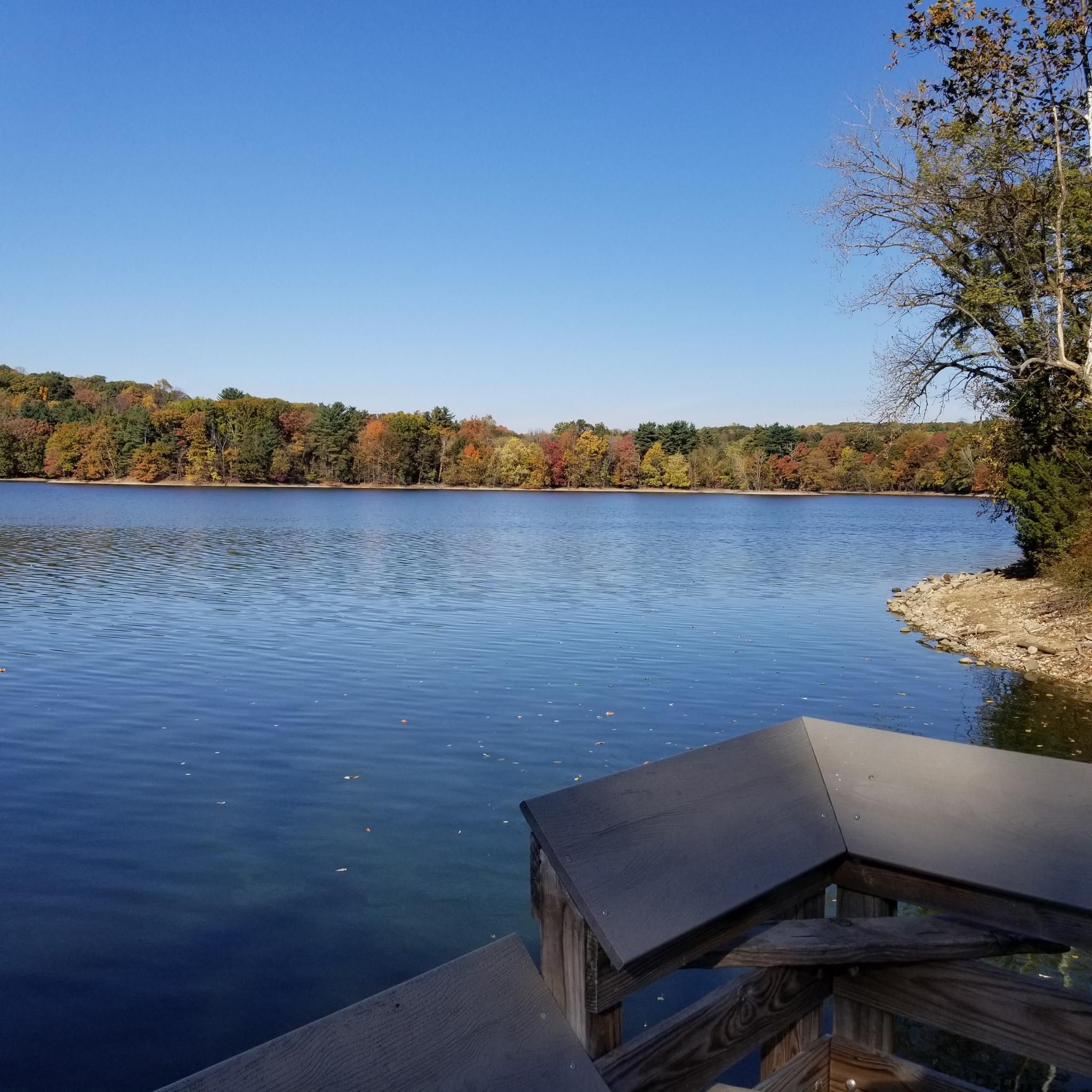
This 256-acre lake might seem pretty shrimpy alongside the mighty Hudson River to the east, but the lake has a nice road-ride loop all the way around it, and a small jetty leading into the water.
0
0

Orchards of Conklin in Rockland County has been a local staple for over ten generations. Visitors can pick their own apples, explore the farm stand, and enjoy freshly pressed apple cider. The on-site bakery provides a selection of pies, cookies, and cakes. This is a great place to stop for a delicious mid-ride snack!
0
0

Swing by this way for waterfront views along the west side of Lake Tappan. This stretch is largely flat with smooth pavement and limited car traffic.
0
0
As of June 2024, this stretch of rail trail is rather smooth with the exception of some cracking and bumps here and there. Felt fine on 25mm road tires — the whole rail trail is very rideable.
0
0
Frequently Asked Questions
How many road cycling routes are available in Hillsdale?
Hillsdale offers a wide selection of road cycling routes, with over 190 routes available on komoot. These routes cater to various preferences, from leisurely rides to more challenging excursions.
What kind of terrain can I expect on road cycling routes in Hillsdale?
Road cycling in Hillsdale features a diverse landscape, characterized by a mix of paved surfaces and varied elevation gains. You'll find routes that navigate around numerous lakes and through areas with natural features, providing varied terrain for exploration. Some routes may include unpaved sections, requiring good fitness.
Are there routes suitable for beginners or less experienced cyclists in Hillsdale?
Yes, Hillsdale has options for all skill levels. There are over 60 easy road cycling routes available, perfect for beginners or those looking for a more relaxed ride. For example, the Woodcliff Lake Reservoir loop from Woodcliff Lake is an easy route covering about 20.8 miles (33.4 km).
What is the best time of year for road cycling in Hillsdale?
The diverse landscapes of Hillsdale make it appealing for road cycling through much of the year. Spring and fall generally offer pleasant temperatures and beautiful scenery. While winter cycling is possible, some multi-use trails like sections of the North Country Trail are also popular for cross-country skiing and snowshoeing during colder months.
What do other cyclists say about road cycling in Hillsdale?
The road cycling routes in Hillsdale are highly rated by the komoot community, with an average score of 4.7 stars from over 70 reviews. More than 3,800 road cyclists have used komoot to explore Hillsdale's varied terrain, often praising the scenic beauty and diverse cycling experiences.
Are there any scenic lakes or waterways to cycle past in Hillsdale?
Absolutely. Hillsdale County is rich with numerous lakes and waterways. You can find routes that pass by beautiful spots like Oradell Reservoir, Wild Duck Pond, and Lake Tappan. Baw Beese Lake is a significant hub for recreation, featuring Sandy Beach and a bike/hiking trail.
Can I find routes that pass by unique natural features or landmarks?
Yes, Hillsdale offers routes with interesting natural features and landmarks. The Wild Duck Pond – Allendale Train Station loop from Westwood, for instance, takes you past the scenic Wild Duck Pond. You might also encounter the unique historic bridges at McCourtie Park or sections of the expansive North Country Trail system, which offers a sense of untouched natural beauty.
Are there any multi-use trails suitable for road cycling in Hillsdale?
The Joseph Clark Rail Trail South of Sparkill is a multi-use pathway that can be incorporated into road cycling routes. Additionally, the Baw Beese Trail is a significant multi-use, non-motorized pathway that offers both biking and hiking opportunities, and it's integrated into the extensive North Country Trail system.
Are there any family-friendly road cycling options in Hillsdale?
Hillsdale offers several family-friendly cycling options, particularly on its multi-use trails and around city parks. The Baw Beese Trail is a great choice for families, providing a safe and scenic environment. Many of the 'easy' rated routes are also suitable for families looking for a pleasant ride together.
Where can I find parking for road cycling routes in Hillsdale?
Parking is generally available at various access points for trails and parks in Hillsdale. For example, areas around Baw Beese Lake and Hillsdale College Hayden Park offer parking facilities. Specific route starting points often have designated parking, which you can usually find detailed on individual route descriptions on komoot.
Are there cafes or places to eat near the cycling routes in Hillsdale?
Yes, you can find places to refuel near many cycling routes. The 9W Market is a notable cafe that cyclists often frequent. Hillsdale's city center and areas around popular lakes will also offer various dining options to grab a bite or a coffee.
Can I find longer, more challenging road cycling routes in Hillsdale?
For cyclists seeking a greater challenge, Hillsdale provides numerous moderate and difficult routes. For instance, the East of the Orchards – Orchards of Conklin loop from Westwood is a moderate route spanning over 45 miles (73.8 km) with significant elevation gain, offering a more demanding experience.
Most popular attractions around Hillsdale

Get inspired with the komoot mobile app


Explore more
Browse the best Road cycling routes in other regions.
