The best running trails around Missoula
5.0
(4)
641
runners
96
runs
Jogging around Missoula offers diverse routes through its unique landscape, nestled at the convergence of five mountain ranges and three rivers. The region features extensive trail systems along riverfronts, through forests, and up prominent hills. Runners can explore varied terrain, from flat, accessible paths to more challenging trails with significant elevation gains, all within a setting characterized by the Rocky Mountains and numerous valleys.
Best jogging routes around Missoula
- The most popular jogging route is The M Trail on Mount…
Last updated: May 12, 2026
28
runners
14.0km
01:31
110m
110m
Moderate run. Good fitness required. Mostly paved surfaces. Suitable for all skill levels.
20
runners
7.17km
00:54
200m
200m
Moderate run. Good fitness required. Mostly paved surfaces. Suitable for all skill levels.

Sign up for free
17
runners
9.29km
01:10
260m
260m
Moderate run. Good fitness required. Mostly paved surfaces. Suitable for all skill levels.
16
runners
7.39km
01:00
260m
260m
Moderate run. Good fitness required. Mostly paved surfaces. Suitable for all skill levels.
16
runners
Moderate run. Good fitness required. Mostly paved surfaces. Suitable for all skill levels.
Get access to more routes and recommendations from other explorers.
Sign up for free
Already have an account?
Our route recommendations are based on thousands of hikes, rides, and runs completed by other people on komoot.
Start today with a free account
Your next adventure awaits.
Login or Signup

Other adventures around Missoula

Tips from the Community

Jacob's Island is a dog park on the banks of Clark Fork River. The park is 6-acres and the river works as a beautiful natural barrier for the dogs. It also offers a series of paved and unpaved trails, benches, picnic tables and dog-waste bags.
0
0
Jacob's Island is a dog park on the banks of Clark Fork River. The park is 6 acres and the river works as a beautiful natural barrier for the dogs. It also offers a series of paved and unpaved trails, benches, picnic tables and dog-waste bags.
0
0

Nestled in the northern Rockies, the city is known as the "Garden City" for its lush surroundings as well as trout fishing. The city is home to the University of Montana, founded in 1893.
0
0

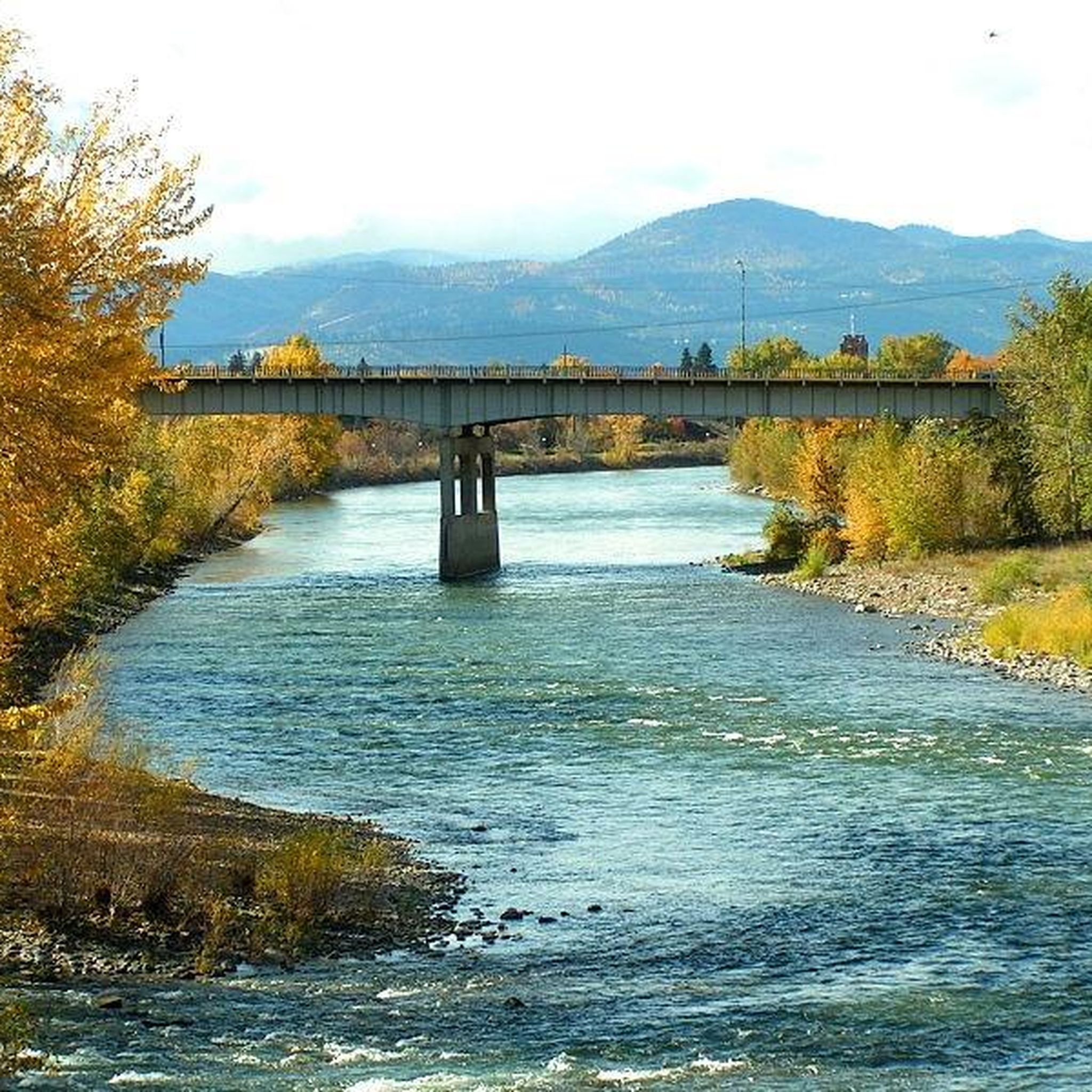
The Kim Williams Trail is a super popular trail in Missoula. It follows along the river the majority of the way, but it is often times tucked in the trees without a lot of views. The section of trail furthest west is a really smooth paved and dirt path. As you get further east, the trail narrows and becomes bumpier. Some choose to ride a bike with more suspension for this rougher section, but most touring bikes can handle the trail just fine from start to finish.
0
0
McCormic Park marks the western terminus of the Kim Williams Trail and the eastern terminus of the Milwaukee Trail. The park has some playing fields, open space, picnic areas, and is nestled up right next to the river.
0
0

Cherry Gulch Trail, found on Waterworks Hill, is a nontechnical path surrounded by grassland. There are panoramic views of the city and surrounding foothills.
0
0
The North Hills Ridge is a fairly popular hike due to its close proximity to town. Similar to trails found in many open spaces, the trails here navigate through a grassy area with no shade.
0
0
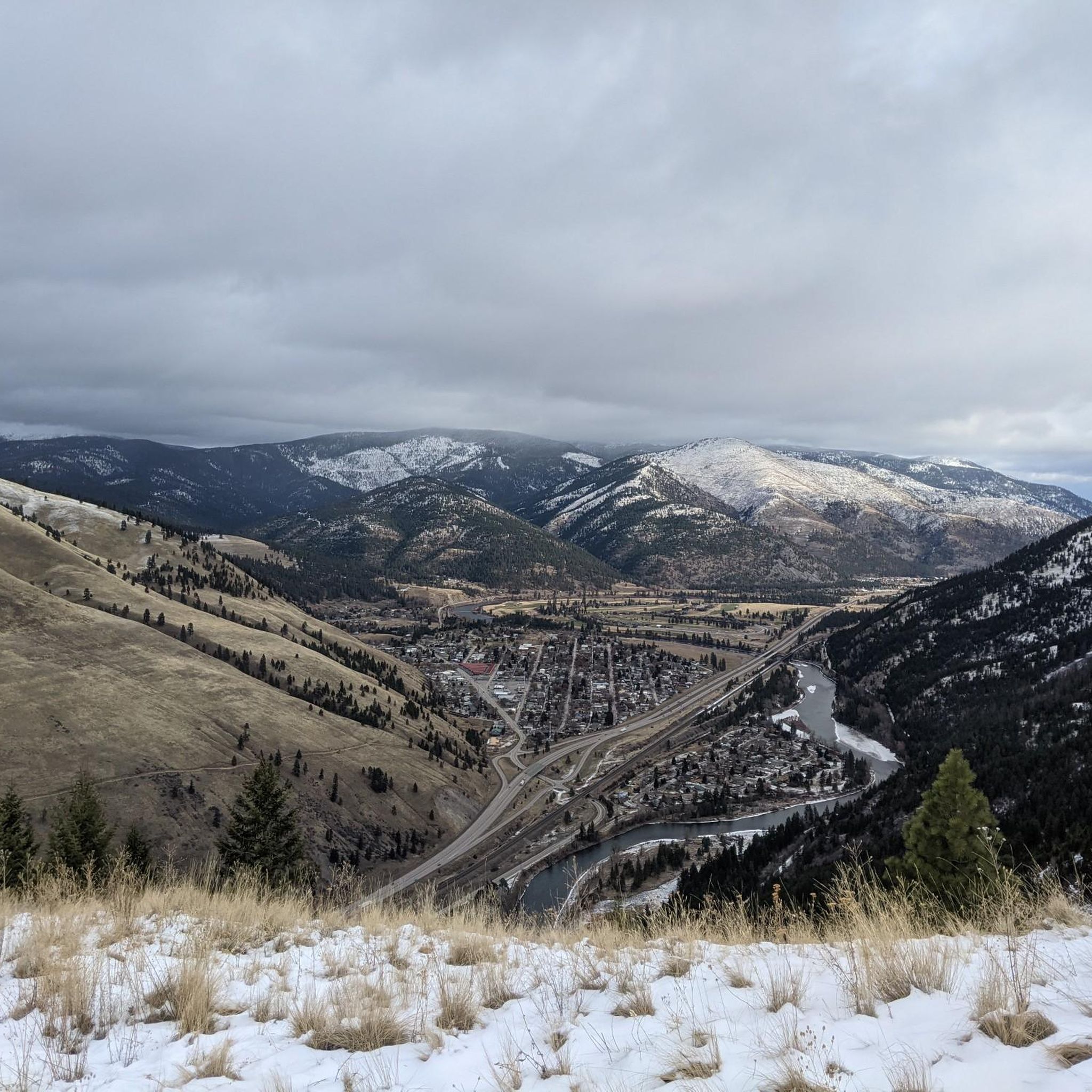
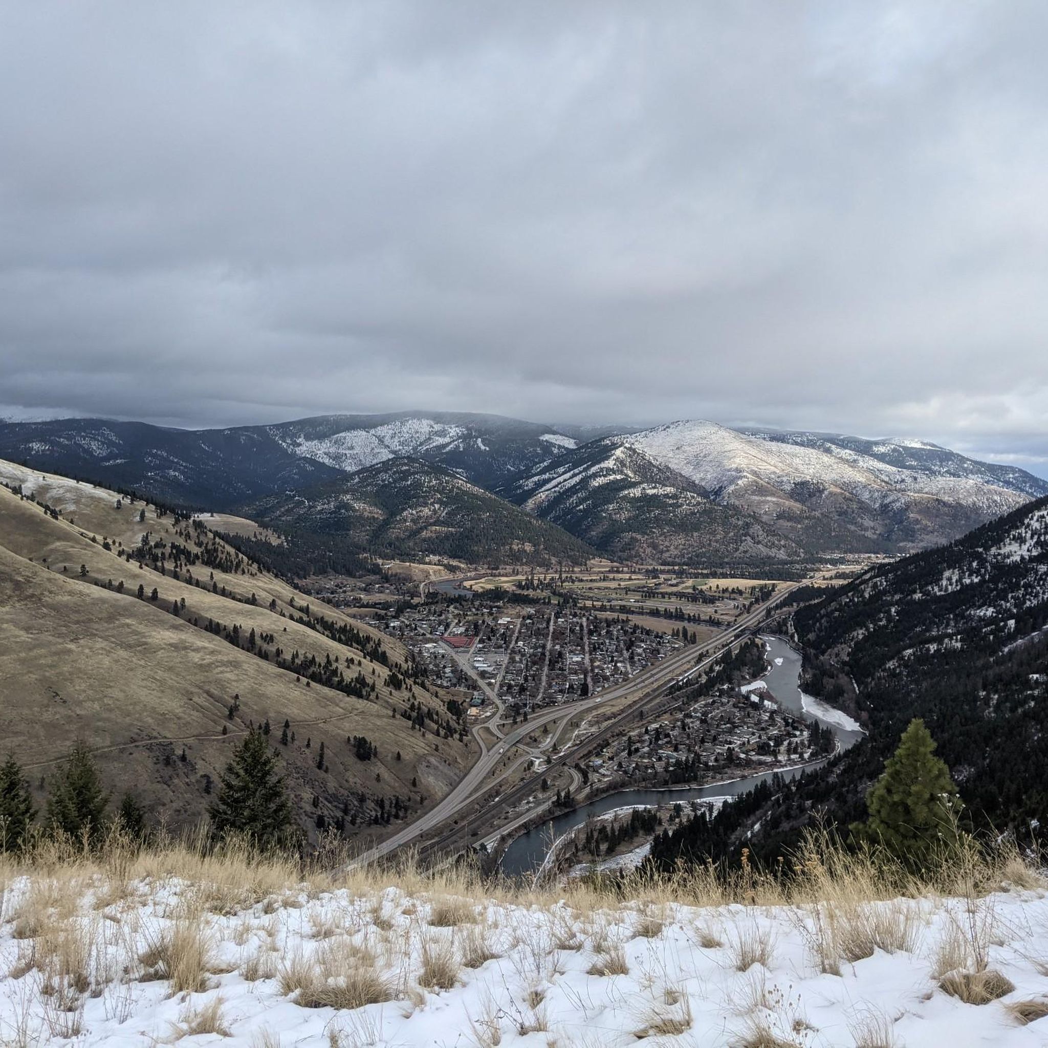
The "M" on the west face of Mount Sentinel has been a Missoula landmark since 1908, when Forestry Club members forged a zigzag trail up the mountain and students carried up stones to shape the symbol of the University of Montana. The "M" Trail is a very popular area for hiking and running, so you'll likely encounter other people while exploring. Dogs are welcome, but must be on a leash. There are great views of Missoula and the entire valley from the trail, but should be noted that there is no shade, so try and get there early! Being that this trail can get crowded, there are two alternative trails back down the mountain, one in the north towards the tree-line, and a slightly longer detour trail in the south if you continue on Evan's Trail.
0
0
Frequently Asked Questions
How many running routes are available in Missoula?
Missoula offers a wide selection of running routes, with over 60 trails available for you to explore. These routes cater to various preferences, from easy strolls to challenging climbs.
What kind of terrain can I expect on Missoula's running trails?
Missoula's running terrain is incredibly diverse, reflecting its 'hub of five valleys' geography. You'll find everything from flat, paved riverfront paths along the Clark Fork River to challenging single-track trails with significant elevation gains in areas like Mount Sentinel and the Rattlesnake National Recreation Area. The region is characterized by its Rocky Mountains, three rivers, and extensive forest paths.
Are there easy running routes suitable for beginners or families in Missoula?
Yes, Missoula has several easy and family-friendly running options. The Beartracks Bridge loop from Missoula is a moderate 3.3-mile route along the urban riverfront. For a very accessible option, the Maclay Flat Interpretive Trail in Blue Mountain Recreation Area offers relatively flat and well-groomed loops of 2k and 3k, perfect for a relaxed run.
Where can I find challenging running trails in Missoula?
For a more strenuous workout, consider routes with significant elevation. The Running loop from Missoula is a difficult 6.3-mile path with substantial elevation changes. Another popular challenging option is The M Trail on Mount Sentinel loop from Missoula, which features 13 switchbacks and over 600 feet of elevation gain in a short distance, rewarding you with panoramic views.
Are there any running routes in Missoula that offer scenic views or pass by landmarks?
Absolutely! Many routes in Missoula boast stunning scenery. The M Trail on Mount Sentinel loop from Missoula offers breathtaking panoramic views of the city and valley. The Clark Fork Riverfront Trails, including the Clark Fork River – Kim Williams Trail loop from Orchard Homes, provide picturesque river views and pass by urban landmarks. The Rattlesnake National Recreation Area and Blue Mountain Recreation Area also feature expansive views and natural beauty.
Can I bring my dog on the running trails in Missoula?
Missoula is generally very dog-friendly, with many trails welcoming leashed dogs. Areas like the Clark Fork Riverfront Trails, Blue Mountain Recreation Area, and portions of the Rattlesnake National Recreation Area are popular choices for running with your canine companion. Always check specific trail regulations for any restrictions, especially in wilderness areas.
Are there circular running routes in Missoula?
Yes, Missoula offers many excellent loop routes. The Beartracks Bridge loop from Missoula is a popular urban riverfront option. For a more natural setting, The M Trail on Mount Sentinel loop from Missoula and the Clark Fork River – Kim Williams Trail loop from Orchard Homes are great choices. The Maclay Flat Interpretive Trail also features well-maintained loops.
What are the best times of year to go jogging in Missoula?
Missoula is a fantastic destination for jogging year-round, but spring, summer, and fall offer the most pleasant conditions. Spring brings blooming wildflowers, summer provides warm, sunny days perfect for early morning or evening runs, and fall showcases stunning foliage. Even winter can be enjoyable for running, especially on lower elevation trails, though some higher trails may be snow-covered.
Are there options for long-distance running in Missoula?
Yes, Missoula's extensive trail network is ideal for long-distance runners. The Lolo National Forest alone boasts 1,800 miles of trails, offering endless possibilities for extended runs. The Rattlesnake National Recreation Area also provides miles of trails that can be linked for longer distances. Routes like the Clark Fork River – Kim Williams Trail loop from Orchard Homes offer a good starting point for longer urban-adjacent runs.
Where can I find parking or public transport access for Missoula's running trails?
Many of Missoula's popular running areas offer convenient parking. For downtown riverfront trails, Caras Park is a central access point with parking. Trailheads for Mount Sentinel, Rattlesnake National Recreation Area, and Blue Mountain Recreation Area typically have designated parking areas. Missoula also has a public transportation system, Mountain Line, which can provide access to various parts of the city and some trailheads; checking their routes is recommended.
What are some notable natural features or attractions I might see while running in Missoula?
While running in Missoula, you can encounter several natural features and attractions. The iconic 'M' on Mount Sentinel is a prominent landmark. The Clark Fork River, Bitterroot River, and Rattlesnake Creek are central to many routes. You might also explore the Kim Williams Trail, or pass by McCormick Park. The vast Lolo National Forest and Rattlesnake Wilderness offer opportunities to experience diverse ecosystems.
What do other runners say about the jogging routes in Missoula?
The jogging routes in Missoula are highly regarded by the komoot community, with an average score of 5.0 stars from reviewers. Runners often praise the diverse terrain, the stunning natural beauty, and the accessibility of trails that cater to all skill levels. The combination of riverfront paths, challenging mountain trails, and extensive forest networks makes it a favorite among outdoor enthusiasts.
Are there any running routes that offer a mix of urban and natural scenery?
Yes, Missoula excels in offering routes that blend urban convenience with natural beauty. The Clark Fork Riverfront Trails, including the Beartracks Bridge loop from Missoula, run through the heart of the city while paralleling the scenic Clark Fork River. These paths provide a unique experience where you can enjoy city views alongside lush riverbanks and parks like Caras Park and Greenough Park.
Most popular routes around Missoula
Most popular attractions around Missoula

Get inspired with the komoot mobile app


Explore more
Browse the best Running Trails & Routes in other regions.
