The best road cycling routes around Missoula
4.8
(9)
326
riders
25
rides
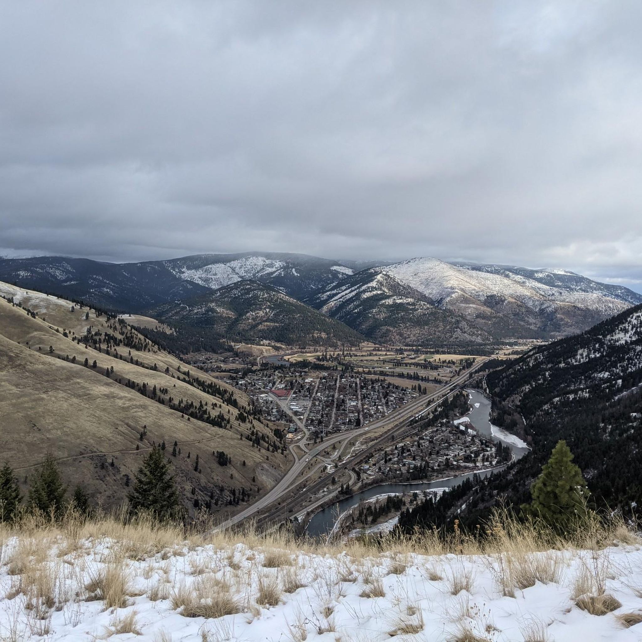
Road cycling routes around Missoula are set within a valley surrounded by five mountain ranges, including the Rocky Mountains and the Bitterroot Range. The city features an extensive network of off-street trails and on-street bike lanes, making it a "Gold-level Bicycle Friendly Community." The landscape is characterized by river valleys, such as the Clark Fork River, and offers varied terrain suitable for road cycling. This environment provides a diverse range of routes, from flat riverside paths to those with notable…
Last updated: October 10, 2026
4.5
(4)
38
riders
41.6km
02:05
120m
120m
Cycle the moderate Bitterroot Trail, a 25.9-mile paved route through Montana's scenic Bitterroot Valley with mountain and river views.
29
riders
34.5km
01:57
420m
420m
The East Missoula loop is a moderate 21.4-mile road cycling route with 1393 feet of elevation gain, offering scenic views of Missoula.

15
riders
50.9km
02:08
190m
190m
The Missoula/Clark Fork River loop offers road cyclists a scenic journey through urban landscapes and natural riverine beauty. You'll follow the Clark Fork River, enjoying picturesque views of the water…
5.0
(1)
11
riders
155km
07:48
370m
370m
Imagine cycling through a vast Montana valley, with the imposing Bitterroot Mountains rising to your west and the gentler Sapphire Mountains to your east. The Bitterroot Trail offers this experience,…
18
riders
39.9km
01:44
170m
170m
Easy road ride. Great for any fitness level. Mostly well-paved surfaces and easy to ride.
Get access to more routes and recommendations from other explorers.
Already have an account?
Our route recommendations are based on thousands of hikes, rides, and runs completed by other people on komoot.
Start today with a free account
Your next adventure awaits.

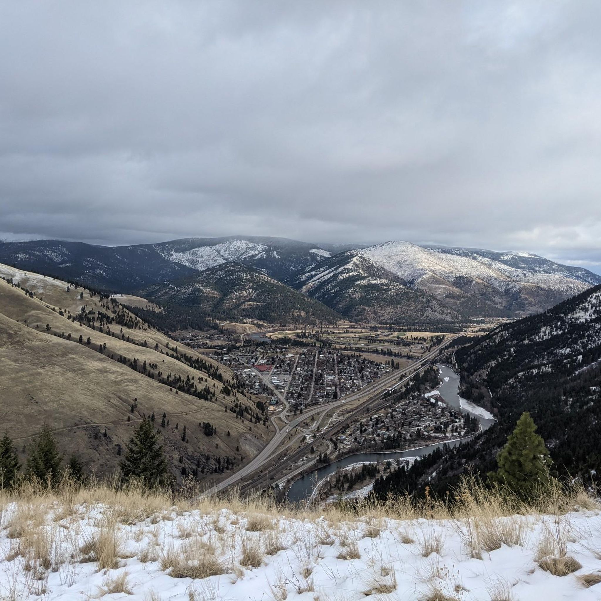
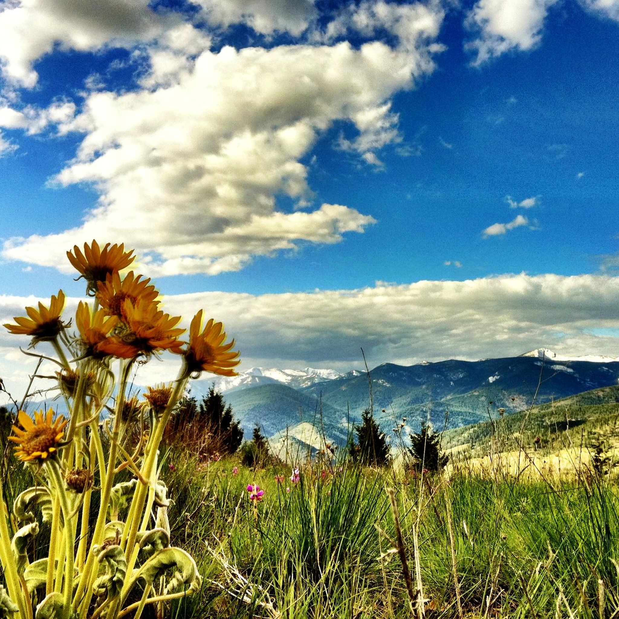
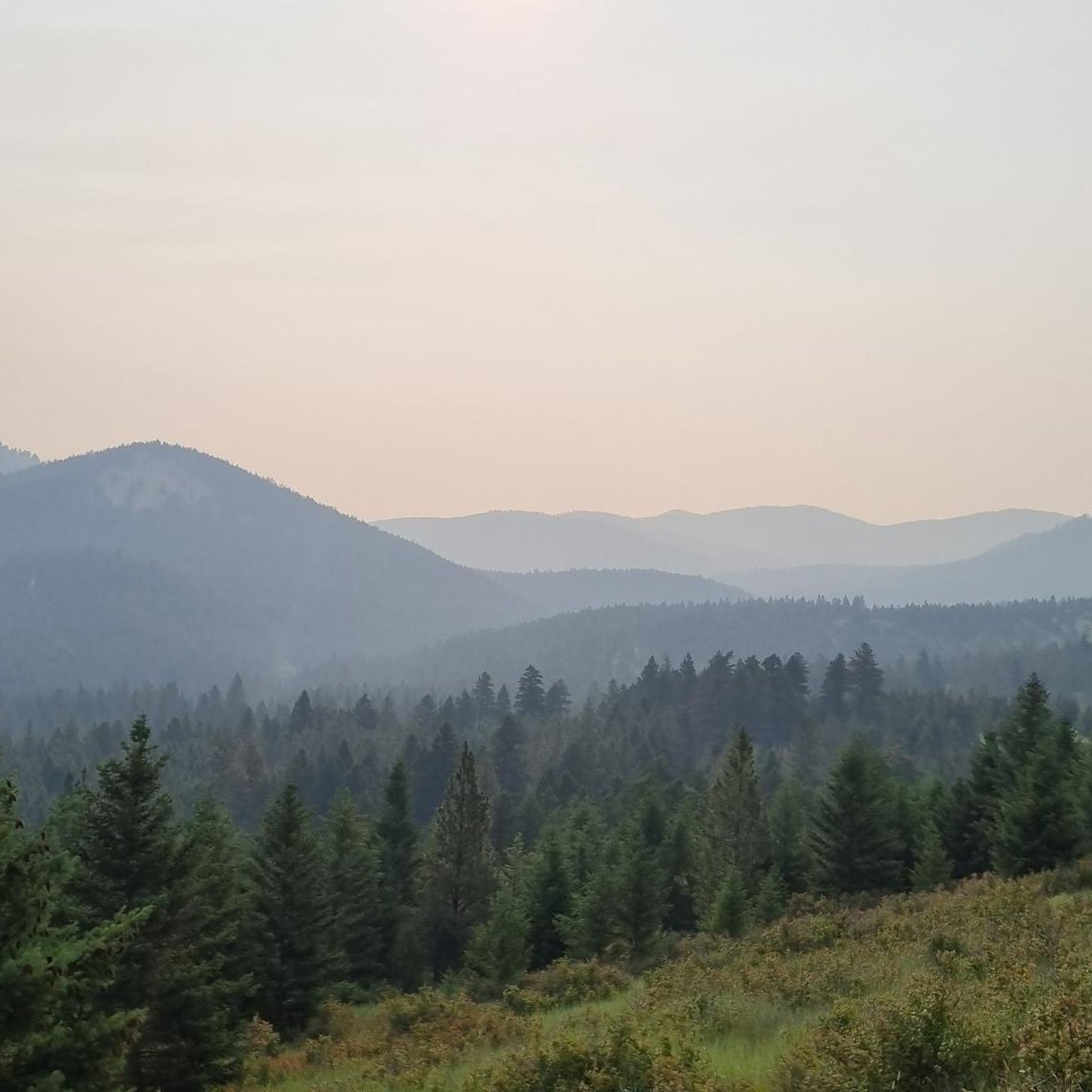
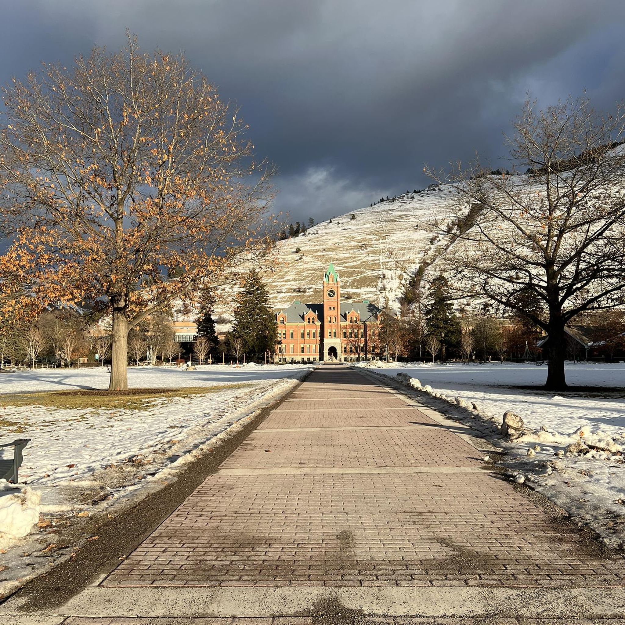
Other adventures around Missoula

Tips from the Community

Stretching for more than 50 miles between Hamilton and Missoula, the paved Bitterroot Trail offers a flat, traffic-free corridor through the heart of the valley. Riders enjoy wide-open views of the Bitterroot Mountains to the west and the Sapphire Range to the east, with small towns, cafes, and services dotted along the way. As the route leads into Missoula, the trail provides a welcoming and scenic approach; heading south, it eases you gently back into rural landscapes.
0
0

The Beartracks Bridge is a four-lane bridge over the Clark Fork River in downtown Missoula. It was constructed in 1962 and recently renovated to improve pedestrian safety. The bridge now has dedicated bike lanes and widened sidewalks.
0
0

Jacob's Island is a dog park on the banks of Clark Fork River. The park is 6-acres and the river works as a beautiful natural barrier for the dogs. It also offers a series of paved and unpaved trails, benches, picnic tables and dog-waste bags.
0
0
Jacob's Island is a dog park on the banks of Clark Fork River. The park is 6 acres and the river works as a beautiful natural barrier for the dogs. It also offers a series of paved and unpaved trails, benches, picnic tables and dog-waste bags.
0
0
The Clark Fork River is one of the longest stretches of water in Montana. Along with its tributaries, they are some of the most popular fly fishing destinations in the United States.
1
0

Nestled in the northern Rockies, the city is known as the "Garden City" for its lush surroundings as well as trout fishing. The city is home to the University of Montana, founded in 1893.
0
0

McCormic Park marks the western terminus of the Kim Williams Trail and the eastern terminus of the Milwaukee Trail. The park has some playing fields, open space, picnic areas, and is nestled up right next to the river.
0
0

The Bitterroot River is 84 miles long and it flows through the Bitterroot Valley. It's a very popular destination for fly fishing.
1
0
Frequently Asked Questions
What kind of terrain can I expect on road cycling routes around Missoula?
Road cycling routes around Missoula offer a diverse range of terrain. You'll find extensive paved trail networks and river valleys, such as those along the Clark Fork River, providing flatter sections. However, the region is also surrounded by five mountain ranges, including the Rocky Mountains, meaning many routes feature significant elevation gains for those seeking a challenge.
Are there easy road cycling routes suitable for beginners in Missoula?
Yes, Missoula offers several easy road cycling options perfect for beginners. The city boasts a 'Gold-level Bicycle Friendly Community' designation with extensive off-street trails and bike lanes. Routes like segments of the Bitterroot Trail offer a safe, car-free experience with picturesque views, ideal for those new to road cycling.
Are there challenging road cycling routes for experienced riders in Missoula?
Absolutely. For experienced cyclists seeking long-distance rides and demanding climbs, Missoula delivers. The East Missoula loop, for example, features 1393 feet of elevation gain over 21.4 miles. For even more demanding climbs and sweeping Montana vistas, routes utilizing Highway 200 and Highway 12 are available, though these require awareness of car traffic.
What are some popular loop road cycling routes in Missoula?
Missoula has several popular loop routes that allow you to start and end in the same location. The Missoula/Clark Fork River loop is a favorite, leading through river valleys and city sights. Another option is the Frenchtown-Huson Loop, which combines bike trails and rural roads west of Fort Missoula.
What can I see along the road cycling routes in Missoula?
Road cycling routes in Missoula offer scenic views of mountains, rivers, and local attractions. Along the Clark Fork River, you might pass through areas near McCormick Park or the Kim Williams Trail. Many routes provide stunning vistas of the Bitterroot Mountains and the surrounding valley.
Are there family-friendly road cycling routes in Missoula?
Yes, Missoula is very family-friendly for cyclists. The city has approximately 22 miles of off-street trails, providing safe and enjoyable options away from vehicle traffic. Segments of the Bitterroot Trail are particularly well-suited for families, offering paved, car-free riding with beautiful scenery.
What is the best time of year for road cycling in Missoula?
The warm months are ideal for road cycling in Missoula, typically from spring through fall. During this time, the weather is pleasant for biking, hiking, and water sports. While winters offer opportunities for fat biking, road cycling is best enjoyed when the roads are clear of snow and ice.
How many road cycling routes are available around Missoula?
There are over 25 road cycling routes available around Missoula, catering to various skill levels. This includes 11 easy routes, 13 moderate routes, and 1 difficult route, ensuring options for everyone from beginners to advanced cyclists.
What do other road cyclists enjoy the most about road cycling in Missoula?
The road cycling experience in Missoula is highly rated by the komoot community, with an average score of 4.9 stars from over 10 reviews. Cyclists often praise the region's diverse terrain, from flat riverside paths to routes with significant elevation gain, as well as the extensive paved trail networks and stunning mountain and river views.
Are there any specific trails that offer both city sights and natural beauty?
Yes, the Missoula/Clark Fork River loop is an excellent choice for combining urban and natural scenery. This 31.6-mile route leads through picturesque river valleys while also offering glimpses of city sights and passing through various parks.
Where can I find parking for road cycling routes in Missoula?
Missoula is a bike-friendly community, and many popular trailheads and parks offer parking facilities. For routes like the Bitterroot Trail or those along the Clark Fork River, you can often find parking near access points in and around the city. Specific parking details may vary by route, so checking local maps or komoot route details is recommended.
Are there any long-distance road cycling routes in the Missoula area?
For those looking for longer rides, the Missoula area offers options like the full Bitterroot Trail, which extends 50 miles from Missoula to Hamilton. This trail provides a significant distance for an extended road cycling adventure through scenic landscapes.
Most popular routes around Missoula
Most popular attractions around Missoula

Get inspired with the komoot mobile app


Explore more
Browse the best Road cycling routes in other regions.
