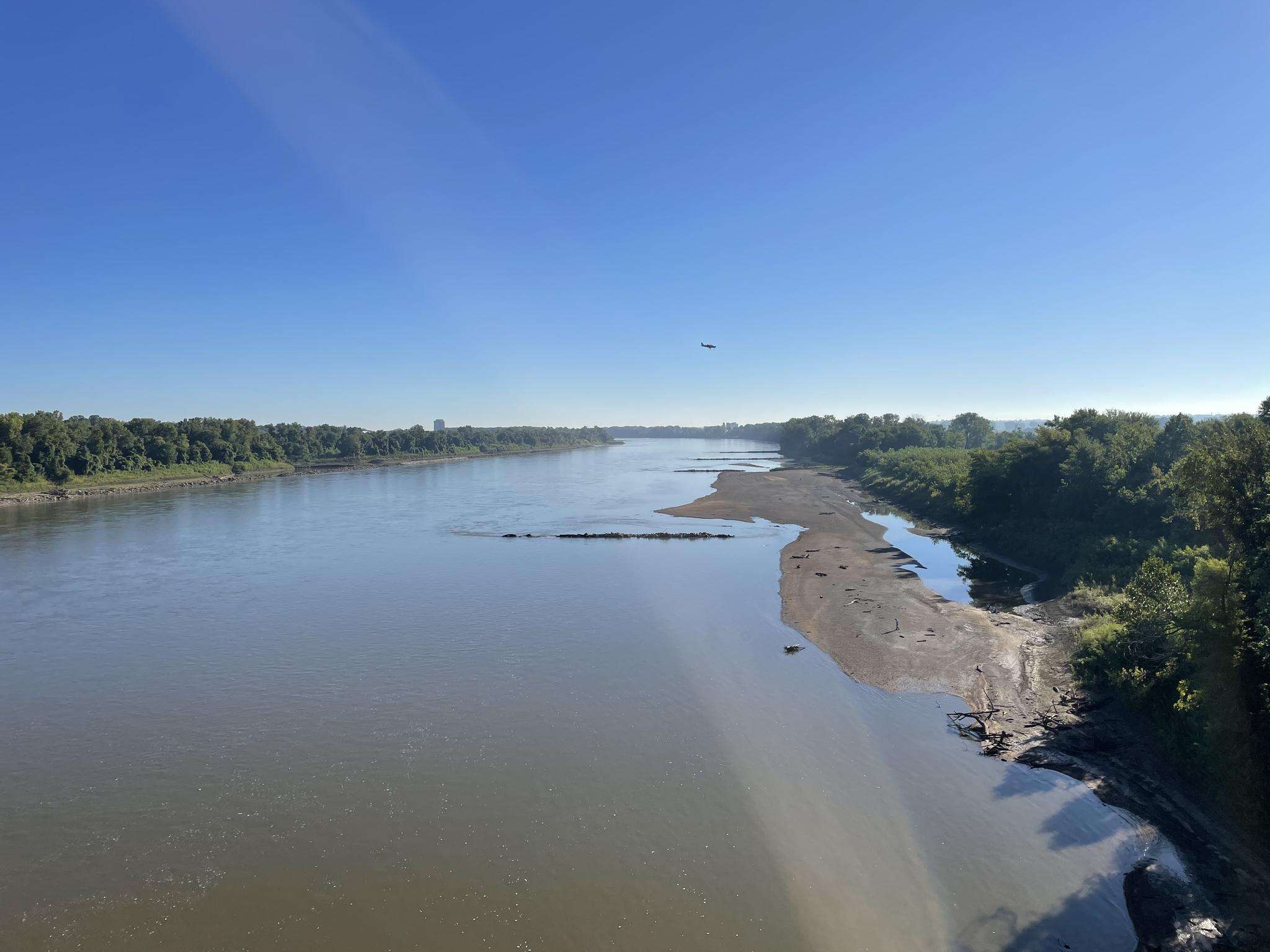
The best walks and hikes around St. Charles
4.9
(15)
301
hikers
28
hikes
Hiking around St. Charles explores a landscape shaped by the Missouri River, featuring a mix of flat riverfront paths, dense woodlands, and rolling hills. The region is characterized by river bluffs overlooking the Missouri River and extensive wooded areas, providing varied terrain for all skill levels. This combination of paved and unpaved routes offers diverse options for hikers. The topography includes gentle paths as well as routes with moderate elevation changes.
Best hiking trails around St. Charles
- The most popular…
Last updated: September 28, 2026
3
hikers
6.75km
01:43
20m
20m
The City Centre Trail offers a refreshing urban hike through St. Peters, blending the charm of city architecture with the tranquility of green spaces. You'll navigate a mix of paved…
1
hikers
4.96km
01:17
30m
30m
The Fee Fee Greenway offers a tranquil escape into nature, following the winding Fee Fee Creek through St. Louis County. You'll find a mix of smooth, paved surfaces and shaded,…

1
hikers
15.4km
03:58
80m
80m
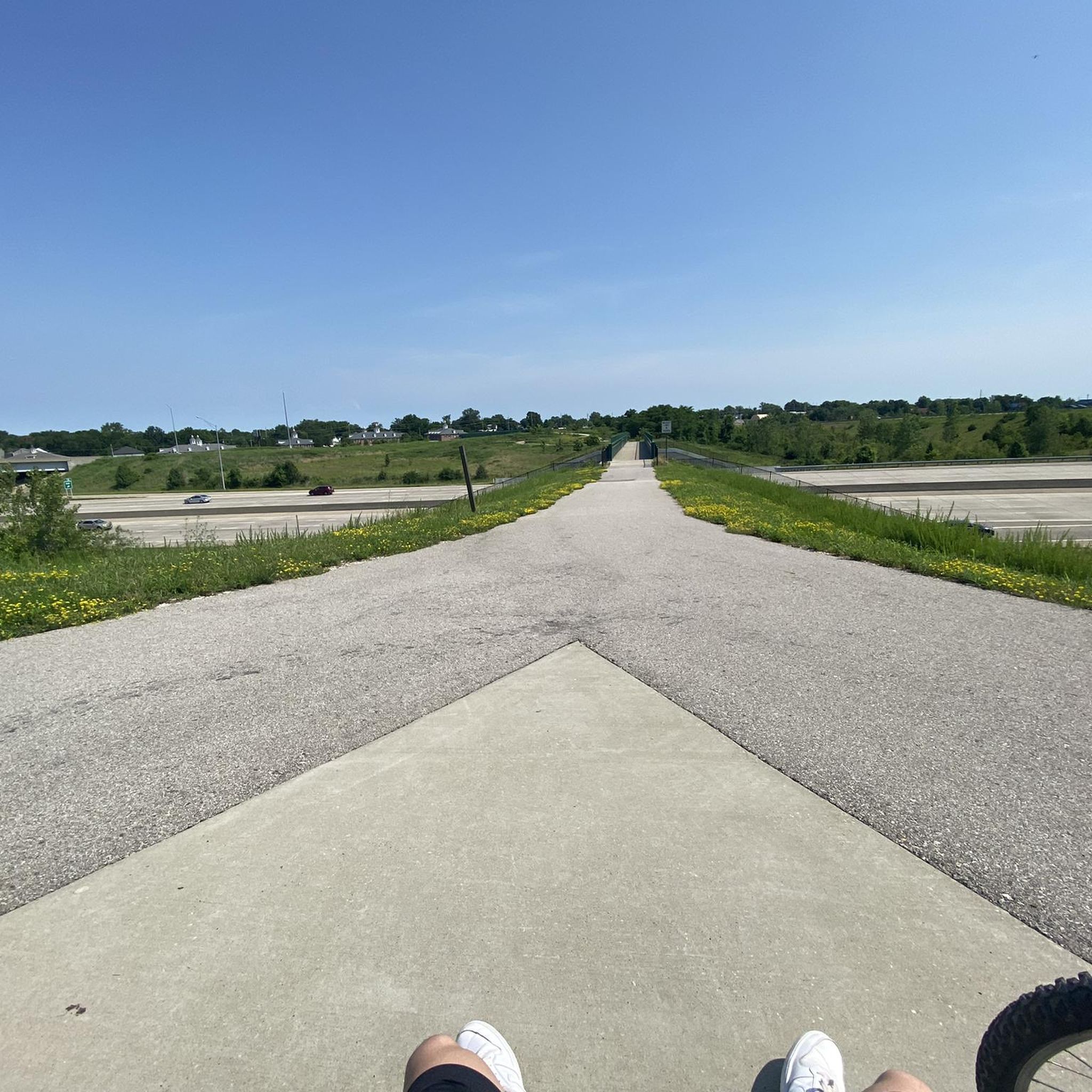
Hike the Boschert Greenway Trail, a 9.5-mile (15.4 km) paved route through diverse landscapes with river views and unique art in St. Charles
4.73km
01:12
10m
10m
Hike the easy 2.9-mile Ecopark Sand Trail Loop in St. Charles Ecopark, featuring sandy sections and a peaceful natural setting.
13.0km
03:23
70m
70m
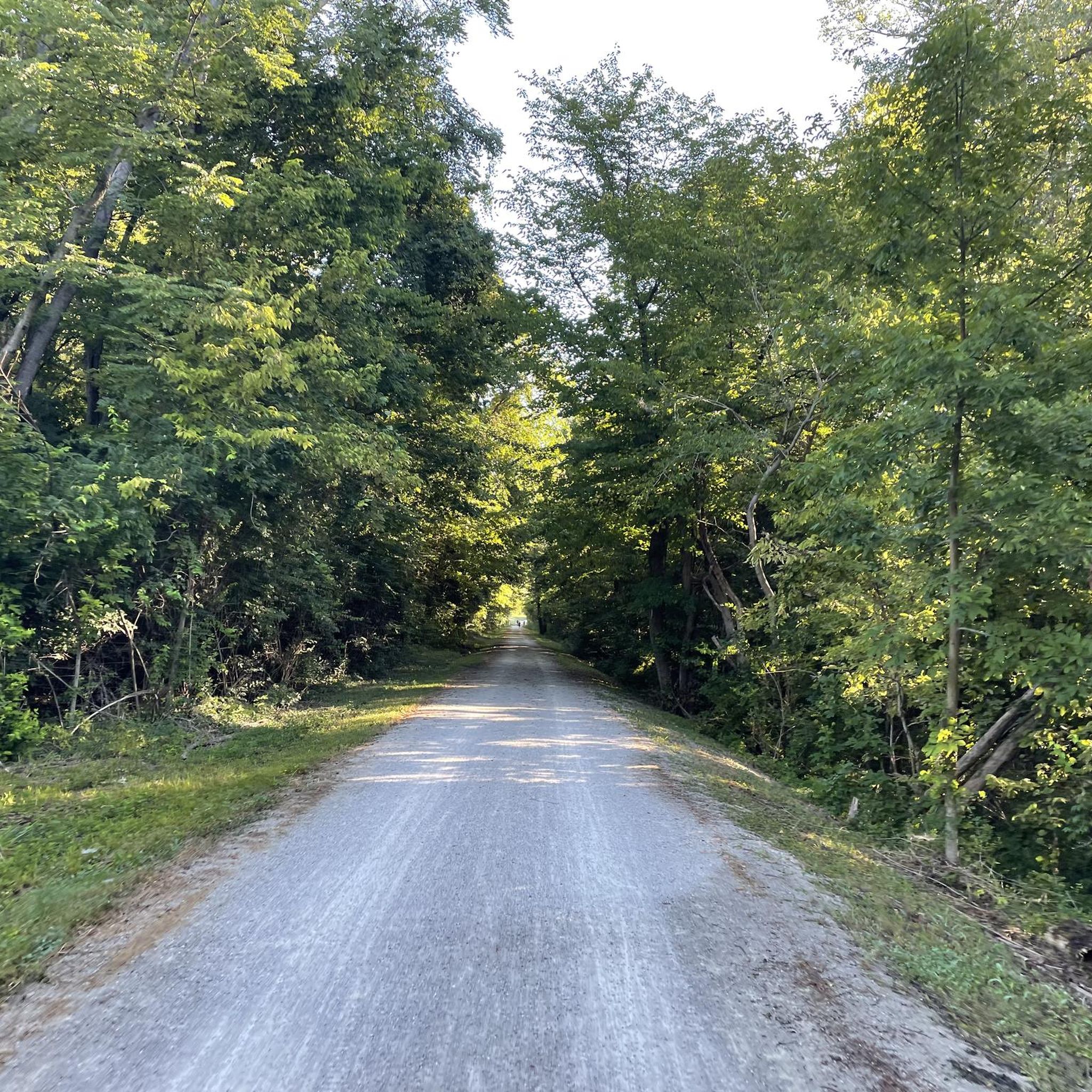
The Laurel Park Loop offers a refreshing escape into nature, guiding you through pleasant forested terrain. While specific landmarks are not detailed, you can anticipate a generally rolling path that…
Get access to more routes and recommendations from other explorers.
Already have an account?
Our route recommendations are based on thousands of hikes, rides, and runs completed by other people on komoot.
Start today with a free account
Your next adventure awaits.


Frequently Asked Questions
What are some popular places for hiking in the St. Charles area?
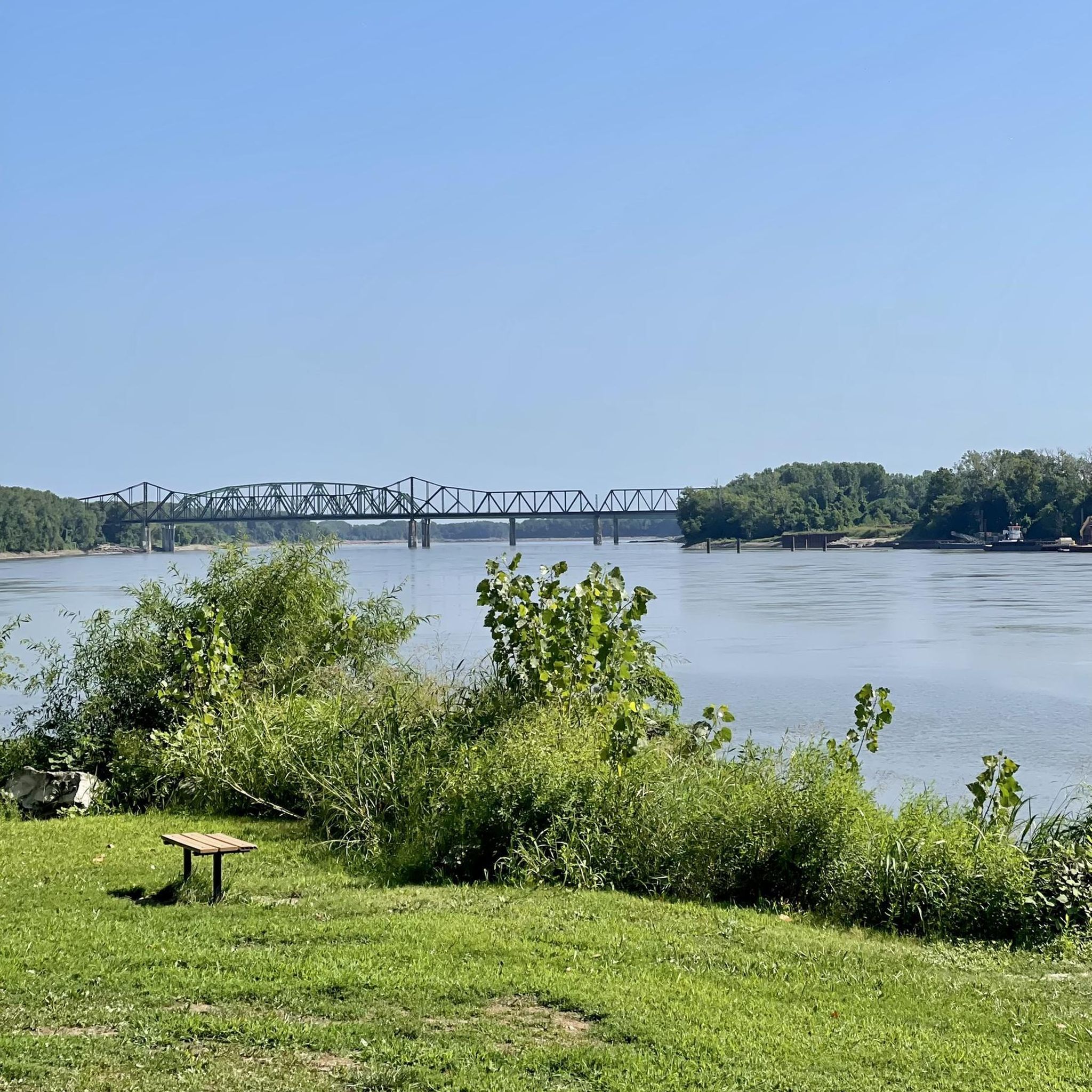
Several spots are highly regarded by local hikers. Weldon Spring Conservation Area is a favorite for its scenic bluff views over the Missouri River. For a unique landscape, many visit Klondike Park, a former sand quarry known for its white sand and panoramic views. The Katy Trail - St. Charles Trailhead provides direct access to the famous flat, crushed-limestone path perfect for long, leisurely hikes.
Are there any good, easy hikes suitable for families?
Yes, the region has several family-friendly options. The Historic St. Charles and Frontier Park loop is a great choice. It's a short, flat walk along the Missouri River, making it accessible for all ages and offering a nice blend of history and nature.
Can I bring my dog on the hiking trails?
Many trails in the St. Charles area are dog-friendly, but it's always best to keep your dog on a leash and check park-specific regulations. A particularly good option is the loop in Creve Couer Lake Park starting from Dogport, which is designed with canine companions in mind.
Are there any challenging hikes with significant elevation gain?
While many local trails are relatively flat, you can find more strenuous hikes at the Weldon Spring Conservation Area. The Lewis and Clark Trail system there features rugged, natural surface paths that climb to bluffs with rewarding views of the Missouri River Valley. These routes offer a greater sense of solitude and a more challenging workout.
Where can I find paved walking trails?
For a smooth, paved surface, the trails in Creve Coeur Lake Park are an excellent choice. The Creve Coeur Connector Trail provides a long, paved route ideal for walking or running. The county's greenway system, like the Boschert Greenway, also offers extensive paved paths.
What do other hikers say about the trails around St. Charles?
The trails are highly rated by the komoot community, with an average score of 4.8 stars. Hikers often praise the variety, from the flat, accessible Katy Trail to the scenic bluff trails at Klondike Park. The well-maintained paths and beautiful river views are frequently mentioned as highlights.
How do I get to the Katy Trail from St. Charles?
Accessing the Katy Trail is very straightforward. The main St. Charles trailhead is located at 222 S Riverside Drive in Frontier Park, right next to historic downtown. There is parking available, allowing you to easily hop on the trail and head either east or west along the Missouri River.
Are there any trails with waterfalls?
The geology of the St. Charles area, characterized by river lowlands and rolling hills, means that large, dramatic waterfalls are not a common feature on the main hiking trails. Hikes here focus more on riverfront scenery, woodland paths, and bluff overlooks.
What kind of wildlife might I see while hiking?
The conservation areas and parks are rich with wildlife. On trails within the August A. Busch Memorial Conservation Area or Weldon Spring, it's common to spot white-tailed deer, wild turkeys, and a variety of birds, including herons and hawks, especially near the many lakes and waterways.
Are there any circular or loop trails available?
Yes, there are many excellent loop trails that bring you back to your starting point. The Mallard Lake loop is a popular, easy circular route. For a longer option, the Creve Couer Lake and Mallard Lake loop combines two lakes into one enjoyable hike.
What should I pack for a day hike in St. Charles?
For most trails, comfortable walking shoes are sufficient. Always bring water, especially in the humid summer months. Sunscreen and insect repellent are recommended. If you're tackling the more rugged trails at Weldon Spring, you might prefer hiking boots for better ankle support.
Where can I find more information on the conservation areas?
For specific details about facilities, hunting seasons, or special regulations at the August A. Busch Memorial Conservation Area, you can check the official information page. This is particularly useful for planning visits to its more rustic trails. You can find more at VisitMO.com.
Most popular routes around St. Charles
Most popular attractions around St. Charles

Get inspired with the komoot mobile app


Explore more
Browse the best Hikes in other regions.
