Top 20 Natural Monuments around Bad Camberg
Natural monuments around Bad Camberg offer diverse natural landscapes within the northern Taunus region. The area features prominent rock formations and elevated viewpoints providing expansive vistas. Its geography includes valleys like the Emsbachtal and significant elevations such as the Glaskopf. This region provides opportunities for outdoor exploration centered on its geological and natural features.
Best natural monuments around Bad Camberg
- The most popular natural monument is Great Zacken, a natural monument that is often used by climbers as a…
Last updated: May 13, 2026
Great Zacken
Highlight • Natural Monument
Translated by Google •
Tip by

Lümmelfelsen
Highlight • Natural Monument
It's actually a beautiful place, but since there is a car park nearby, it can be very crowded even on nice days.
Translated by Google •
Tip by

Sign up now to discover places like this
Get recommendations on the best single tracks, peaks, & plenty of other exciting outdoor places.
Sign up for free
Weil Spring
Highlight • Natural
Translated by Google •
Tip by

Beilstein Rock Formation
Highlight • Natural Monument
Translated by Google •
Tip by
View from the Mensfelder Kopf
Highlight • Viewpoint
Offers a fantastic view of Limburg and towards Feldberg
Translated by Google •
Tip by

Sign up for free to discover even more natural monuments around Bad Camberg.
Sign up for free
Already have an account?
Start today with a free account
Your next adventure awaits.
Login or Signup
Popular around Bad Camberg

Delightfully scenic hiking in the Taunus range
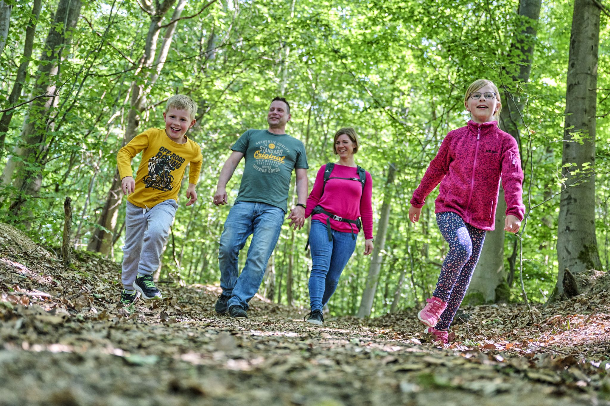
The journey is the adventure – hikes in Germany’s Taunus Mountains
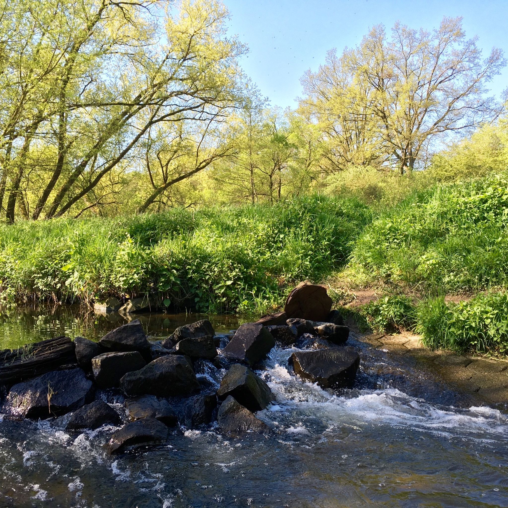
Hiking around Bad Camberg
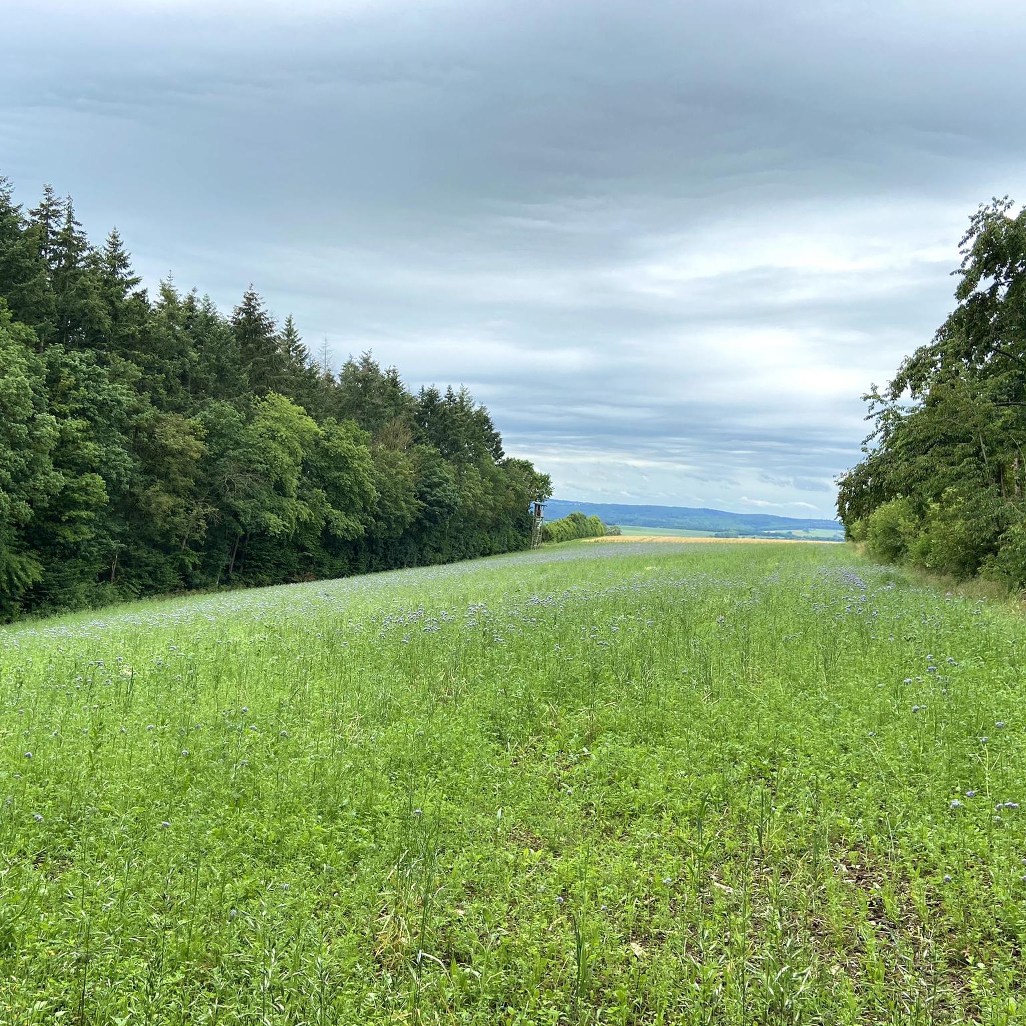
Cycling around Bad Camberg
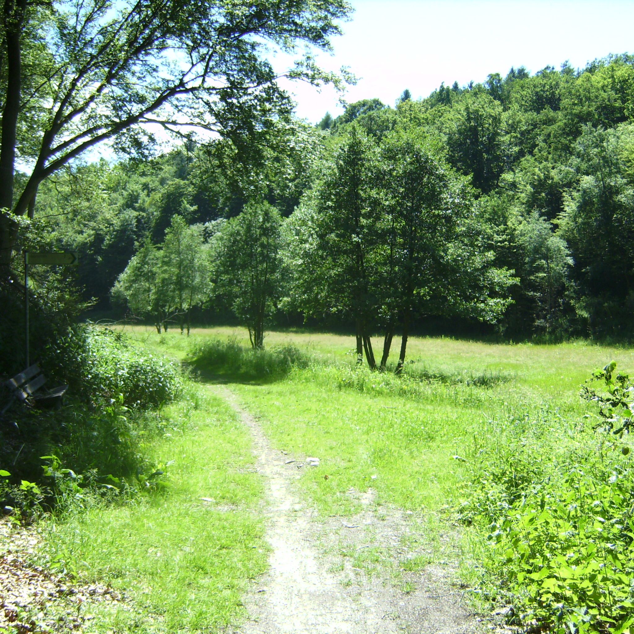
MTB Trails around Bad Camberg
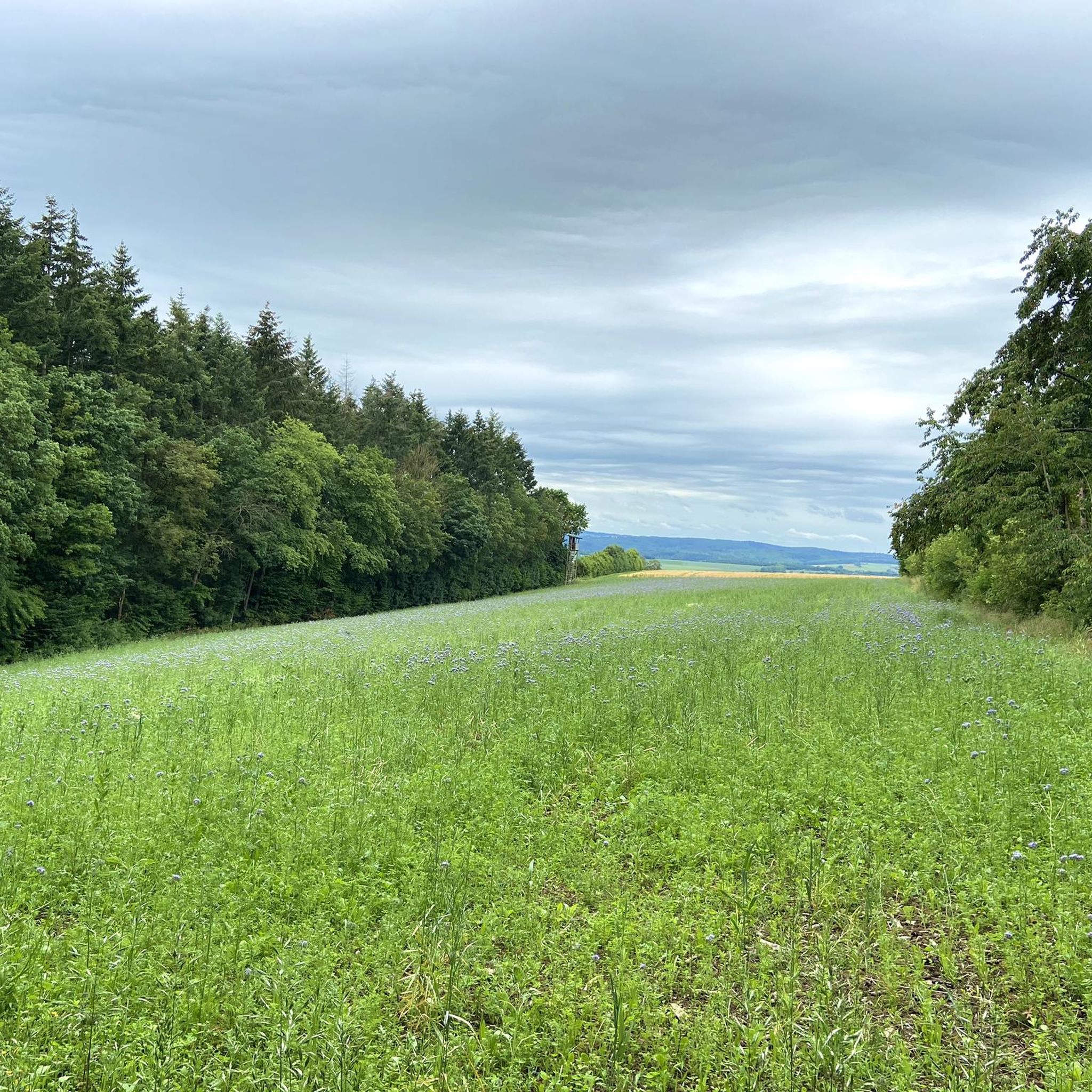
Running Trails around Bad Camberg
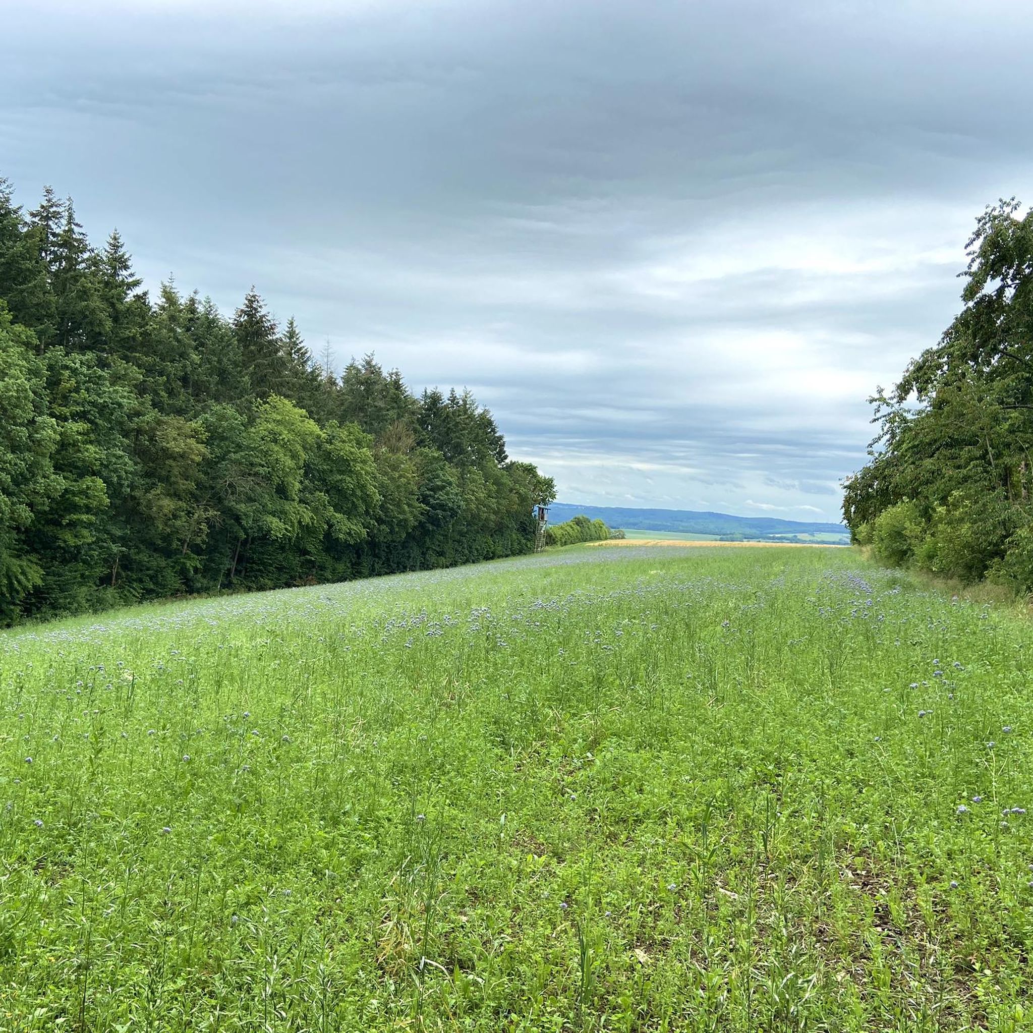
Road Cycling Routes around Bad Camberg
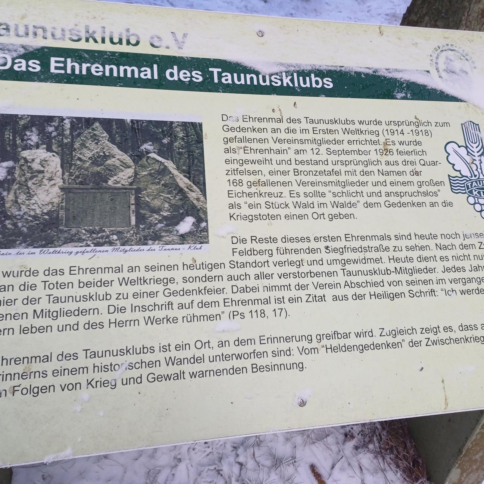
Gravel biking around Bad Camberg
Mountain Hikes around Bad Camberg

Tips from the Community

This is where the Weil originates! After the Aar, the longest stream/river in the Taunus (46 km). Unfortunately, in the last hot summers, due to the falling groundwater level, there was no significant spring release!
12
0

A beautiful spring and a historical one at that: Centuries ago it served to supply water to the former Feldberg fort and the Roman village.
5
0

Origin of the approximately 45 km long Weil just above the former Roman fort.
9
0
Great rock formations - probably also quite popular with climbers.
3
1
640m high rock elevation made of marine rock.
8
1

Great rock formation. Beautiful hiking area in combination with jagged edges
4
1

Nice view, you can vary the route compared to the Komoot suggestion. Is not as crowded as other destinations in the Taunus.
6
0

Frequently Asked Questions
What are some unique natural attractions to visit around Bad Camberg?
Beyond traditional natural monuments, you can experience the Baumwipfelweg Bad Camberg, an impressive 800-meter-long Treetop Walk. Opened in May 2023, it allows you to stroll through the forest canopy up to 31 meters high, offering educational stations and panoramic views of the northern Taunus, including the Kreuzkapelle and even the Feldberg summit on clear days.
Are there family-friendly natural monuments around Bad Camberg?
Yes, several natural monuments are suitable for families. The Beilstein Rock Formation offers quaint rocks to explore and climbing routes for various skill levels. The View from the Mensfelder Kopf is also considered family-friendly, providing expansive views. Additionally, the Weil Spring, the source of the Weil river, is a pleasant spot for a family outing.
Can I bring my dog to the natural monuments around Bad Camberg?
Many natural areas around Bad Camberg are dog-friendly. The Weil Spring is explicitly noted as dog-friendly. The Baumwipfelweg Bad Camberg (Treetop Walk) also allows leashed dogs, making it a great option for exploring with your canine companion.
Where can I find the best panoramic views of the region?
For breathtaking panoramic views, visit the View from the Mensfelder Kopf, which offers a fantastic vista of Limburg and towards Feldberg. The Lümmelfelsen also provides wonderful views of the Emsbach valley and across to the Glaskopf. The observation towers at the Baumwipfelweg Bad Camberg (Treetop Walk) offer spectacular views of the northern Taunus.
Are there opportunities for climbing at the natural monuments?
Yes, the region is known for its rock formations that attract climbers. The Great Zacken is a bizarre rock formation frequently used as a training ground for climbers. The Beilstein Rock Formation also features climbing routes for various skill levels.
What kind of hiking trails are available near the natural monuments?
You'll find a variety of hiking trails. For an easy walk, consider the 'Vorderwald Forest Path – Treetop Walk Bad Camberg loop'. Moderate options include 'Alsdorf Pond – Vorderwald Forest Path loop' and 'View of Kreuzkapelle – Treetop Walk Bad Camberg loop'. For more challenging hikes, explore routes like the 'Camberger Kercheweg (short variant) - Taunus'. You can find more details on hiking around Bad Camberg.
What is the significance of the Weil Spring?
The Weil Spring marks the origin of the Weil river, which is approximately 45 kilometers long and one of the longest streams in the Taunus. Historically, it was located near the former Feldberg fort, where Roman Limes guards once drew their fresh water, influencing the fort's placement.
Are there any natural monuments with historical connections?
The Weil Spring has historical significance as it was a water source for Roman Limes guards at the nearby Feldberg fort. This connection highlights the strategic importance of natural resources in ancient times.
What do visitors particularly enjoy about the natural monuments in Bad Camberg?
Visitors frequently praise the impressive rock formations like the Great Zacken and Beilstein Rock Formation for their unique appearance and climbing opportunities. The sensational views from spots like Lümmelfelsen and Mensfelder Kopf are also highly appreciated, offering diverse perspectives of the Emsbachtal and beyond.
What other outdoor activities can I do near the natural monuments?
Besides hiking, the area around Bad Camberg offers various outdoor activities. You can find numerous road cycling routes, such as the 'Gnadenthal Village and Half-Timbered House – Runkel Castle loop'. There are also several running trails, including the 'Forest Path in the Taunus – View of Dombach loop'.
Are there any lesser-known natural monuments worth visiting?
While not as extensively detailed as others, the **2 Winterlinden (Winter Lime Trees) in Würges** are recognized as natural monuments within the Bad Camberg area. Their designation indicates their ecological or aesthetic importance in the local landscape, offering a quieter natural experience.
Is the Treetop Walk accessible for everyone?
The Baumwipfelweg Bad Camberg (Treetop Walk) is designed to be accessible. It is considered family-friendly and allows leashed dogs. While specific wheelchair accessibility details are not provided, its modern construction often implies consideration for broader access.
Most popular routes around Bad Camberg
Most popular attractions around Bad Camberg

Get inspired with the komoot mobile app


Explore more
Extend your search for the best caves by checking out these guides of the top ones around Bad Camberg:
