The best road cycling routes around Shakopee
4.8
(39)
770
riders
21
rides
Road cycling routes around Shakopee are characterized by their location within the Minnesota River Valley, offering a mix of paved trails and scenic landscapes. The region features extensive trail networks, including sections of the Minnesota Valley State Trail, which provide diverse views along the Minnesota River. Cyclists can expect relatively gentle terrain with some rolling hills, making it suitable for various skill levels.
Best road cycling routes in Shakopee
- The most popular road cycling route is Valley Fair views loop…
Last updated: June 28, 2026
5.0
(1)
16
riders
Moderate road ride. Good fitness required. Some segments of this route may be unpaved and difficult to ride.
5.0
(1)
15
riders
46.3km
02:24
190m
190m
Moderate road ride. Good fitness required. Some segments of this route may be unpaved and difficult to ride.

Sign up for free
5.0
(1)
6
riders
40.9km
01:46
180m
180m
Easy road ride. Great for any fitness level. Mostly well-paved surfaces and easy to ride.
7
riders
Moderate road ride. Good fitness required. Some segments of this route may be unpaved and difficult to ride.
5
riders
66.4km
03:07
370m
370m
Moderate road ride. Good fitness required. Some segments of this route may be unpaved and difficult to ride.
Get access to more routes and recommendations from other explorers.
Sign up for free
Already have an account?
Our route recommendations are based on thousands of hikes, rides, and runs completed by other people on komoot.
Start today with a free account
Your next adventure awaits.
Login or Signup
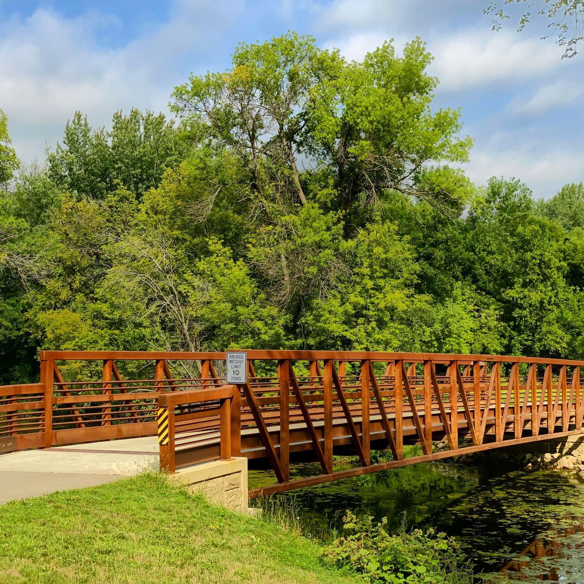
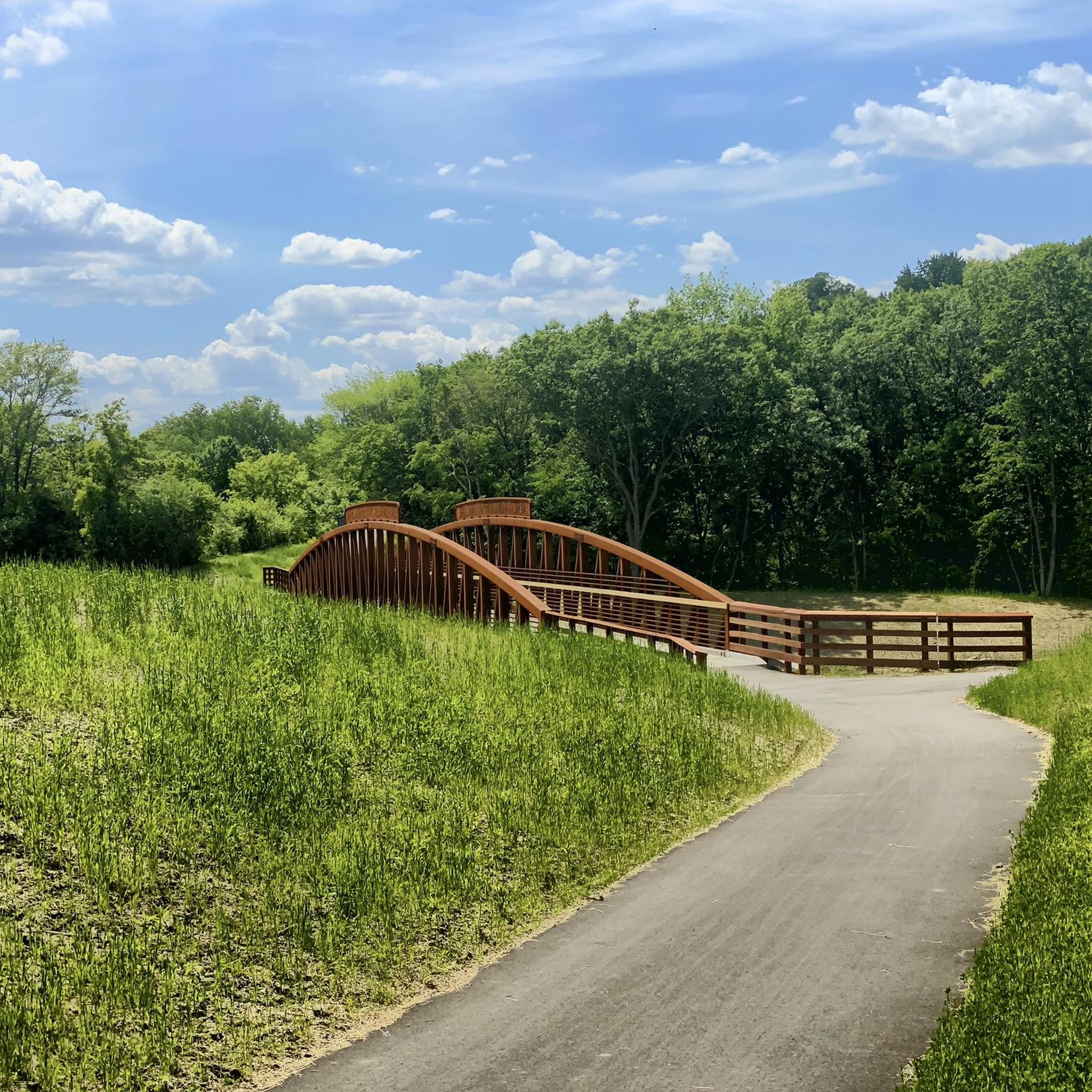
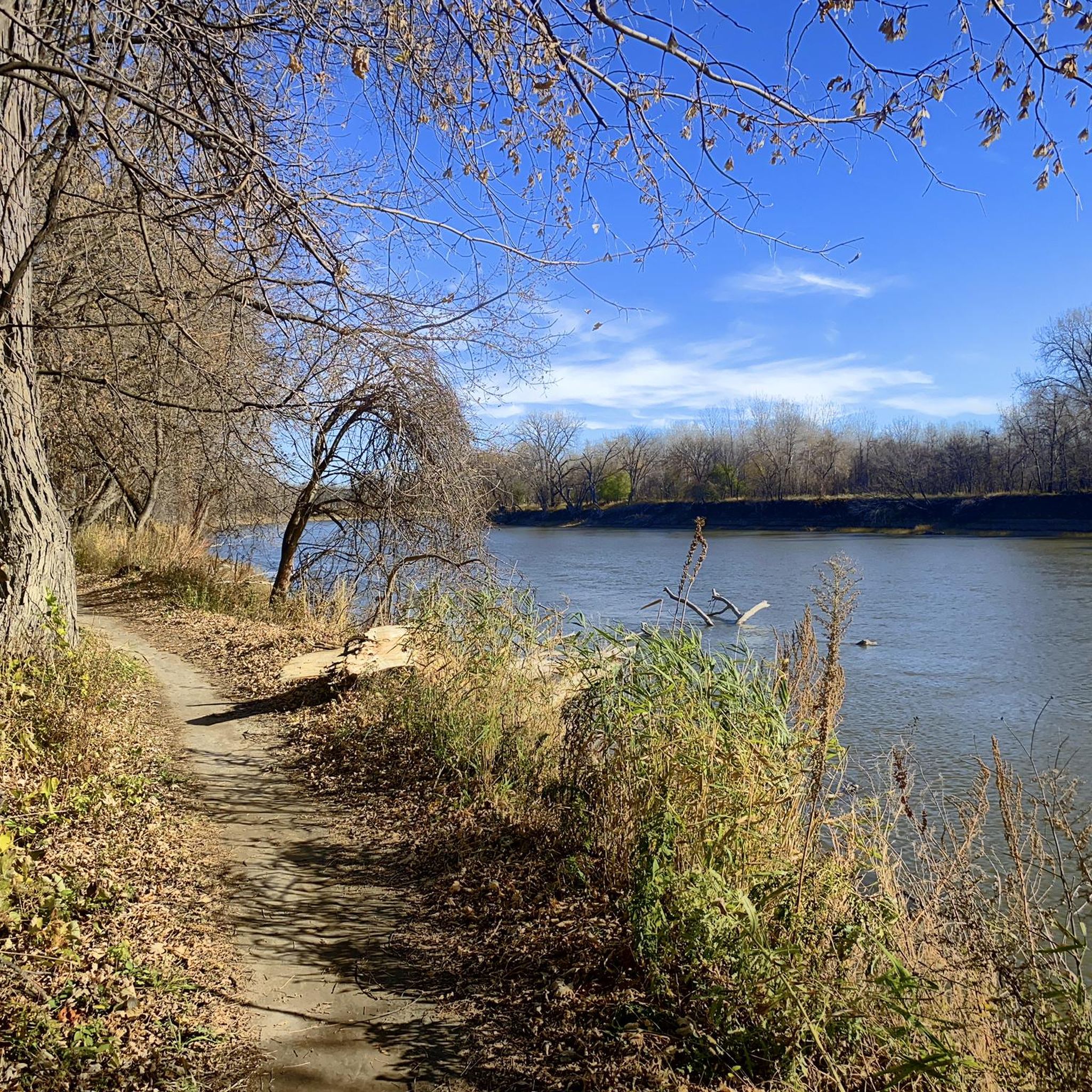
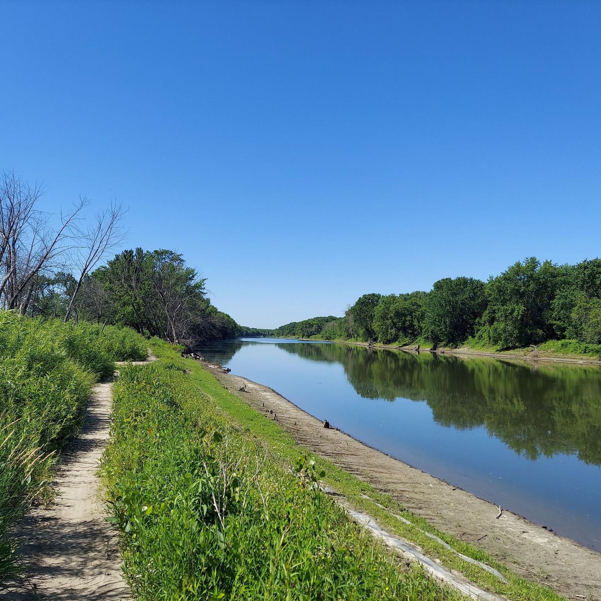

Tips from the Community

I've been here a few times, and I'm still amazed it wasn't busy. Going to bring my boat or board next time.
0
0

The CP Rail Regional Trail is a planned 21-mile regional corridor that will run from the Minnesota River in the south to the Bassett Creek Regional Trail in the north. The proposed alignment will connect to six regional trails: Nine Mile Creek, Cedar Lake LRT, North Cedar Lake, Luce Line, Bassett Creek, and Crystal Lake. Each of these trails, in turn, connects with many others. Here is a link to the CP Rail Trail Master Plan: https://www.threeriversparks.org/sites/default/files/pdfs/construction/03-21%20CP%20Rail%20Reg.%20Trail%20Master%20Plan%20DRAFT.pdf Since we recently moved to a home very near Hyland Lake Regional Park, Martha and I are looking forward to the completion of the final 1.5 miles of trail connecting the Nine Mile Creek Regional Trail to the Minnesota River. We hope this trail, together with the many others it connects to, will help knit Minneapolis together as a community.
0
0
Nice park office with ski rentals in the winter. Big playground. A lake that they run a aerator, so it stays open and a bunch of swans stay in the winter.
2
0
Neat park, this section of the park has a lot of picnic tables and views of the lake, compared to the other side is mostly trails in the woods. Nice places to sit and look at the lake.
0
0
Located on the north shore of Spring Lake, the south entrance to Spring Lake Regional Park offers ample parking, small-boat access to the lake, and plenty of picnic sites.
0
0
This entry point to the Minnesota Valley Trail is conveniently located off State Highway 101. Ample parking is available, though there are no restrooms on site. From here, the trail heads west toward Shakopee or north across the Minnesota River to Bloomington.
0
0
Frequently Asked Questions
How many road cycling routes are available around Shakopee?
There are over 20 road cycling routes around Shakopee, offering a variety of options for different skill levels. You'll find 11 easy routes and 10 moderate routes to explore.
What is the best time of year for road cycling in Shakopee?
The best time for road cycling in Shakopee is typically during the spring, summer, and fall months when the weather is mild and the trails are clear. The region's extensive paved trail network, including sections of the Minnesota Valley State Trail, is enjoyable during these seasons.
What kind of terrain can I expect on Shakopee's road cycling routes?
Road cycling routes in Shakopee are primarily characterized by relatively gentle terrain with some rolling hills, especially along the Minnesota River Valley. Many routes utilize paved trails, offering smooth surfaces for an enjoyable ride. The Bloomington Ferry Bridge – Detour through The Landing loop from #1198 Vierling Dr, for instance, features river bluffs and natural areas.
Are there road cycling routes suitable for beginners in Shakopee?
Yes, Shakopee offers several easy road cycling routes perfect for beginners. For example, the Boathouse Brothers Brewing – Grainwood Park loop from Old Carriage Court is an easy 26.5-mile (42.6 km) trail that leads through varied landscapes and is often completed in under two hours.
Are there more challenging road cycling routes for experienced riders?
For experienced riders seeking a moderate challenge, Shakopee has several options. The Bloomington Ferry Bridge – CP Rail Regional Trail loop from Shakopee is a moderate 41.3-mile (66.4 km) route with over 370 meters of elevation gain, offering a longer and more demanding ride.
What natural features and scenic viewpoints can I expect to see while road cycling in Shakopee?
Road cyclists in Shakopee can enjoy picturesque views along the Minnesota River, especially on routes that follow the Minnesota Valley State Trail. You'll encounter natural beauty within the Minnesota Valley State Recreation Area and the Minnesota Valley National Wildlife Refuge. Many routes offer scenic viewpoints of the river valley and its bluffs.
Are there any historical or cultural attractions accessible from the road cycling routes?
Yes, you can combine your ride with a visit to historical sites. The Landing - Minnesota River Heritage Park, an 88-acre living history museum, is located along the Minnesota River and offers scenic river trails and overlooks. Additionally, the Seminary Fen SNA – Shakopee Brewery Ruins loop from Shakopee passes by the Shakopee Brewery Ruins, offering a glimpse into local history.
Where can I find parking for road cycling routes in Shakopee?
Parking is available at various trailheads and parks throughout Shakopee. For instance, the Bloomington Ferry trailhead is a convenient parking option for accessing routes along the Minnesota River. Many local parks, like Huber Park, also provide access to the trail network.
Are there any road cycling routes that form a loop?
Yes, many of Shakopee's road cycling routes are designed as loops, allowing you to start and end at the same point. The Valley Fair views loop from Old Carriage Court is a popular 17.1-mile (27.5 km) loop that offers views of local attractions.
Are the road cycling trails in Shakopee family-friendly?
Absolutely. Many of Shakopee's paved trails, particularly sections of the Minnesota Valley State Trail and local greenways like the Vierling Greenway, are suitable for families. The relatively gentle terrain and scenic views make for an enjoyable outing with children. Always check the specific route details for distance and elevation to ensure it matches your family's ability.
What do other cyclists say about road cycling in Shakopee?
The road cycling routes in Shakopee are highly rated by the komoot community, with an average score of 4.9 stars from more than 5 reviews. Cyclists often praise the diverse scenery, well-maintained paved trails, and the beautiful views along the Minnesota River.
Are there any specific trails that connect to broader cycling networks?
Yes, Shakopee's trail system connects to broader networks. The Minnesota Valley State Trail extends beyond Shakopee, and the region also links to trails like the Big Woods Regional Trail and the Scott West Regional Trail, expanding possibilities for longer rides and exploration.
Most popular attractions around Shakopee

Get inspired with the komoot mobile app


Explore more
Browse the best Road cycling routes in other regions.
