The best road cycling routes around Falcon Heights
4.8
(171)
7,068
riders
234
rides
Road cycling around Falcon Heights, Minnesota, offers access to a comprehensive network of well-maintained trails and diverse landscapes. The region features mostly paved surfaces, including smooth asphalt, connecting suburban and urban environments. Cyclists can explore numerous parks, lakes, and river confluences, with direct routes leading into Minneapolis. The area is characterized by its extensive network of paved bike trails, providing varied terrain for different skill levels.
Best road cycling routes around Falcon Heights
- The most popular road cycling route is…
Last updated: May 19, 2026
4.6
(5)
177
riders
39.9km
01:44
230m
230m
Easy road ride. Great for any fitness level. Mostly well-paved surfaces and easy to ride.
5.0
(9)
267
riders
28.5km
01:17
200m
200m
Easy road ride. Great for any fitness level. Mostly well-paved surfaces and easy to ride.

Sign up for free
51
riders
54.9km
02:28
180m
180m
Moderate road ride. Good fitness required. Mostly well-paved surfaces and easy to ride.
18
riders
Moderate road ride. Good fitness required. Mostly well-paved surfaces and easy to ride.
19
riders
20.0km
00:51
100m
100m
Moderate road ride. Great for any fitness level. Some segments of this route may be unpaved and difficult to ride.
Get access to more routes and recommendations from other explorers.
Sign up for free
Already have an account?
Our route recommendations are based on thousands of hikes, rides, and runs completed by other people on komoot.
Start today with a free account
Your next adventure awaits.
Login or Signup

Tips from the Community

Thomas Lake Park is a true gem, featuring a scenic lake with a public fishing pier and small watercraft access, welcoming picnic facilities, an excellent trail system, and a beautiful mix of woodland and prairie.
0
0

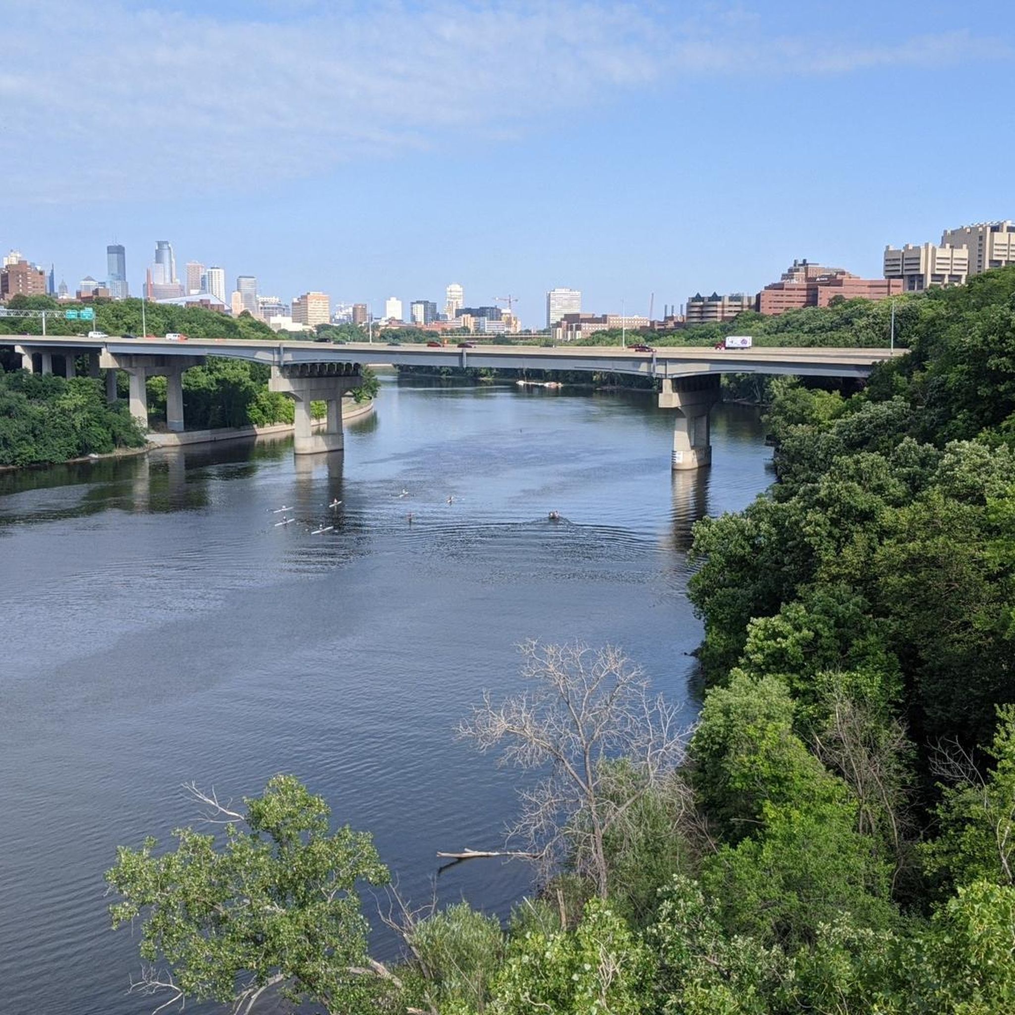
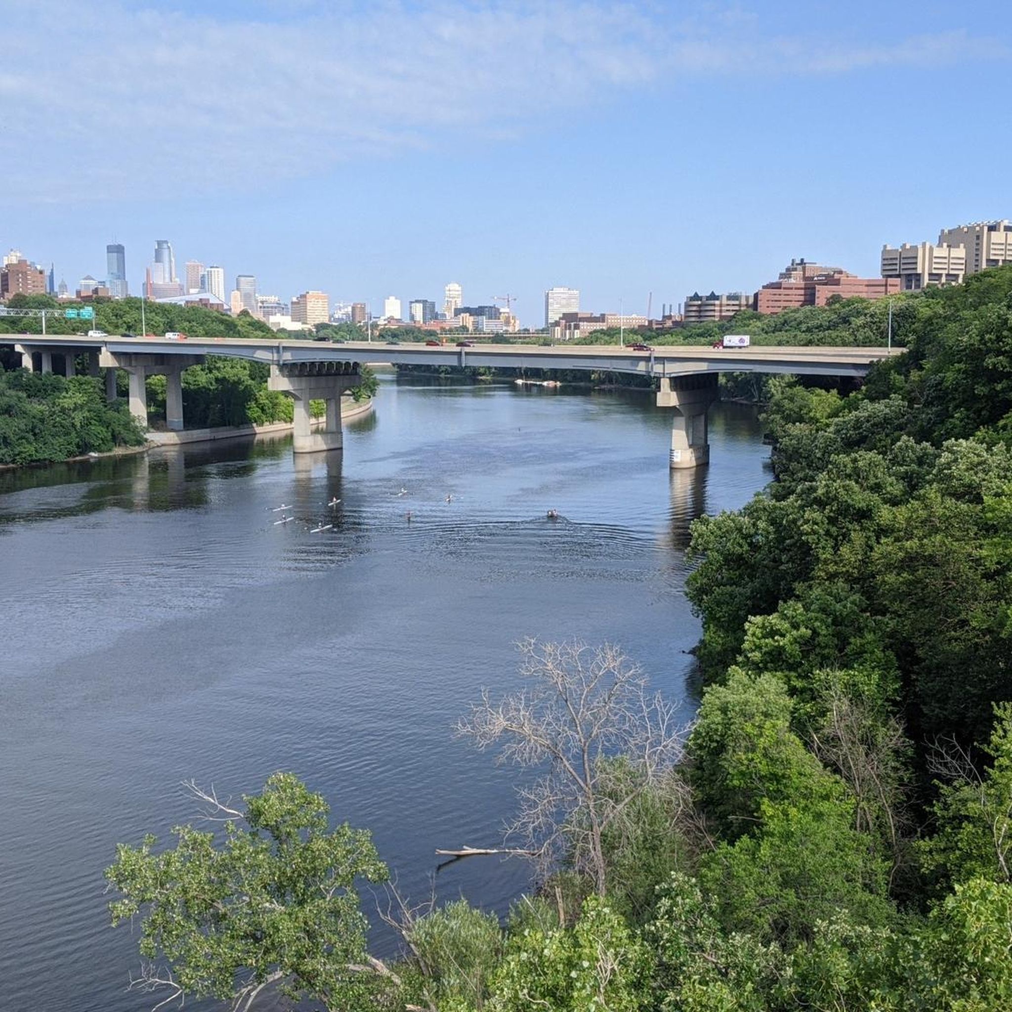
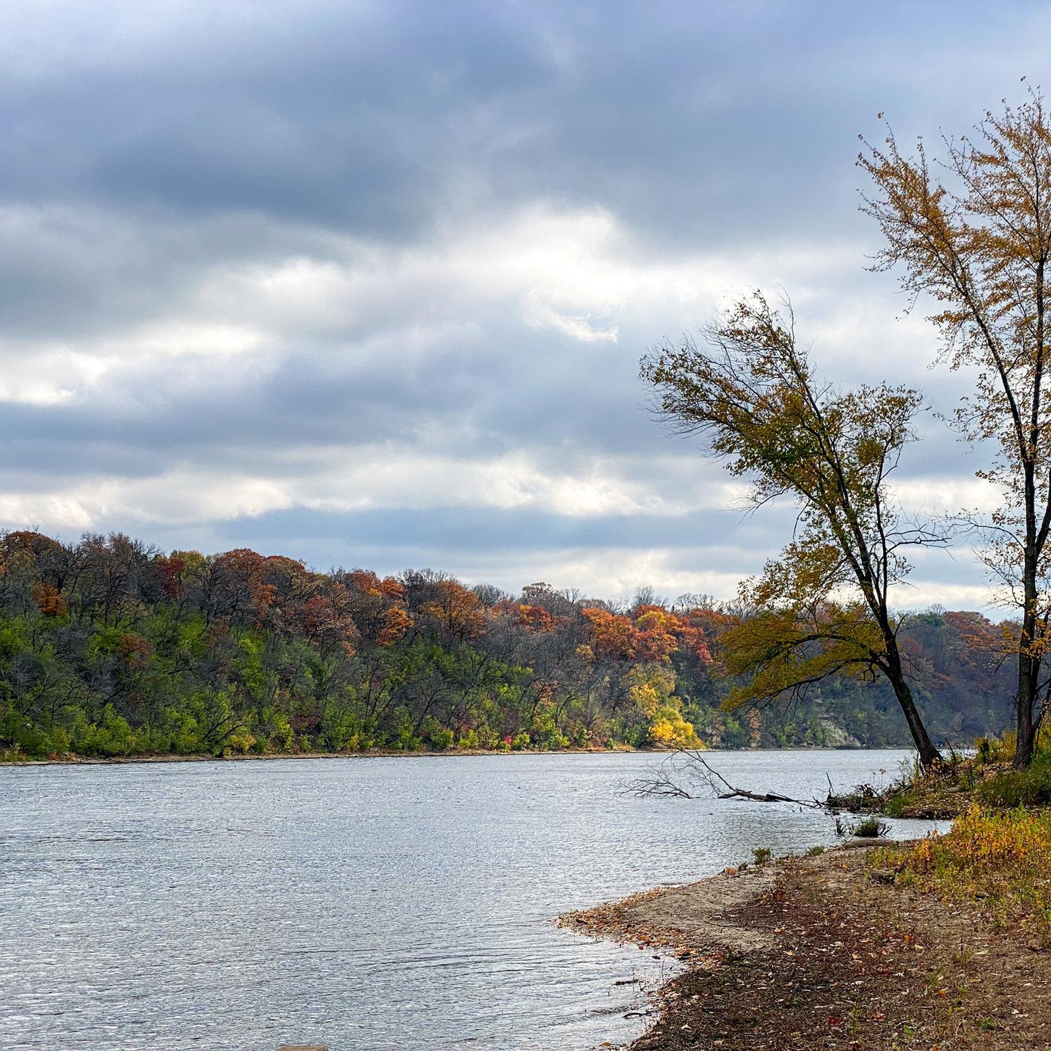
Nice river views from the bike path.
0
0
This tip is quoted from the plaque affixed to the tower: "The Witch's Hat Water Tower was designed by Norwegian architect Frederick William Cappelen and constructed by the city of Minneapolis in 1913. Occupying the highest natural land area in Minneapolis, the water tower was built to improve water pressure in the homes of Prospect Park residents. The tower was decommissioned in 1952 but has been preserved as a significant part of this city's history. The Witch's Hat Water Tower and Tower Hill Park are listed in the National Register of Historic Places."
3
0
Here is a link to a Minnesota Department of Natural Resources map of summer trails at Fort Snelling State Park (https://files.dnr.state.mn.us/maps/state_parks/spk00154_summer.pdf). Although bicycles are allowed on many of the park trials, the legend on the map shows, sadly, that the circumferential trail on Pike Island is for hiking only.
0
0

at the tip of Pike Islands a very nice packed Earth bike route around this little Island
0
0

One of the bridges that connects St. Paul and Minneapolis that has a great view above the trees along the river.
1
0
Overlook point that is worth a break to appreciate the river, its islands, and the greenery surrounding it.
1
0
Frequently Asked Questions
How many road cycling routes are available around Falcon Heights?
Falcon Heights offers an extensive network of over 200 road cycling routes. These routes cater to various skill levels, with a significant number of easy and moderate options available.
What types of terrain can I expect on road cycling routes in Falcon Heights?
You can expect mostly well-maintained, paved surfaces, including smooth asphalt, throughout the region. Routes often connect suburban and urban environments, passing through parks, along lakes, and near river confluences. The broader Minnesota area is known for its extensive network of over 4,000 miles of paved bike trails.
Are there easy road cycling routes suitable for beginners or casual riders?
Yes, Falcon Heights has numerous easy road cycling routes. For example, the Mendota Bridge – Pickerel Lake loop from Raymond Avenue is an easy 39.7 km ride suitable for all fitness levels, offering scenic views around Pickerel Lake.
Can I find more challenging road cycling routes in the area?
Absolutely. For those seeking a moderate challenge, routes like the Upper Landing Park – Fort Snelling Scenic Overlook loop from Raymond Avenue offer a 73.6 km path with scenic vistas, including the Fort Snelling Scenic Overlook. Another moderate option is the New York Life Eagle Statue – Fort Snelling Scenic Overlook loop from Westgate, which is 76.1 km long.
Are there road cycling routes that pass by lakes or offer water views?
Many routes in the Falcon Heights area feature beautiful lake views. The Lake Phalen – Como Lake loop from Westgate is a popular 56.7 km trail that leads through urban parks and around both Lake Phalen and Como Lake. Additionally, the Lake Nokomis Trail is a well-known 7.3-mile path popular for cycling.
What notable landmarks or attractions can I see while road cycling near Falcon Heights?
The region offers several significant landmarks. You can cycle to the impressive Minnehaha Falls, a 53-foot waterfall accessible via the broader Twin Cities trail network. Another unique natural highlight is the Confluence of the Mississippi and Minnesota Rivers, located within Fort Snelling State Park, offering breathtaking views.
Are there any routes that connect Falcon Heights to Minneapolis city attractions?
Yes, Falcon Heights provides direct cycling routes into Minneapolis, often featuring dedicated cycleways and quiet roads. The Mill Ruins Park – Stone Arch Bridge loop from Roseville is a shorter, easy 26.5 km ride that connects to prominent attractions in Minneapolis, allowing you to explore university campuses and vibrant city streets.
What do other road cyclists say about the routes in Falcon Heights?
The road cycling routes in Falcon Heights are highly rated by the komoot community, with an average score of 4.8 stars from over 120 reviews. Cyclists often praise the well-maintained paved paths, access to numerous parks and lakes, and the varied terrain suitable for different ability levels.
Are there loop routes available for road cycling?
Yes, many road cycling options in Falcon Heights are designed as loops, providing convenient starting and ending points. Examples include the Mendota Bridge – Pickerel Lake loop, Upper Landing Park – Fort Snelling Scenic Overlook loop, and the Lake Phalen – Como Lake loop, all offering circular routes for exploration.
What are some of the larger parks or green spaces accessible by road bike from Falcon Heights?
Falcon Heights is well-connected to several large parks and green spaces. You can easily cycle to Como Park, which features vast green spaces, a zoo, and a conservatory. Fort Snelling State Park, approximately 20 minutes away, also offers numerous trails and is located at the confluence of the Mississippi and Minnesota Rivers. Additionally, Reservoir Woods, adjacent to Falcon Heights, provides a natural retreat with diverse ecosystems.
Most popular attractions around Falcon Heights

Get inspired with the komoot mobile app


Explore more
Browse the best Road cycling routes in other regions.
