The 7 Most Amazing Peaks in Landkreis Ansbach
Best mountain peaks in Landkreis Ansbach are found in Middle Franconia, Bavaria, characterized by a generally hilly landscape with prominent elevations. This region offers opportunities for outdoor activities and exploration of its natural beauty. These elevations provide expansive views and insights into the area's geological and historical significance. The terrain, ranging from the Franconian Heights to heaths and forests, makes it suitable for those seeking scenic hikes and a quieter outdoor experience.
Best mountain peaks in Landkreis Ansbach
- The most…
Last updated: May 20, 2026
Hesselberg Summit
Highlight • Summit
Translated by Google •
Tip by

Hesselberg Landscape Protection Area
Highlight • Natural Monument
Biotope
Geotope
designated 1985, with a size of 1475.5ha
BIOTOP Hesselberg:
The Hesselberg is a retreat for numerous rare and protected plant and animal species. Due …
Translated by Google •
Tip by

Sign up now to discover places like this
Get recommendations on the best single tracks, peaks, & plenty of other exciting outdoor places.
Sign up for free
Ascent from Gerolfingen to Hesselberg
Highlight (Segment) • Climb
Translated by Google •
Tip by

Hesselberg
Highlight • Summit
Translated by Google •
Tip by

Landsknecht Summit (534 m) – Highest Point of Northern Frankenhöhe
Highlight • Summit
Translated by Google •
Tip by

Wachtlerberg Summit
Highlight • Summit
Translated by Google •
Tip by

Wölfleinsberg
Highlight • Summit
Translated by Google •
Tip by
Forest Trail in Middle Franconia
Highlight (Segment) • Trail
Translated by Google •
Tip by

Hesselberg Summit
Highlight (Segment) • Summit
Since the flooring is very sensitive, care should be taken not to leave any skid marks.
Translated by Google •
Tip by

View from Kreuzlesberg
Highlight • Viewpoint
Translated by Google •
Tip by

Sign up for free to discover even more peaks in Landkreis Ansbach.
Sign up for free
Already have an account?
Start today with a free account
Your next adventure awaits.
Login or Signup
Popular around Landkreis Ansbach

Main-Danube-Lake Constance Trail – Along iconic waters

Germany's Hohenlohe-Ostalb Cycle Route – From idyllic valleys to the Swabian Alb

The Romantic Road – To the Pearls of Southern Germany
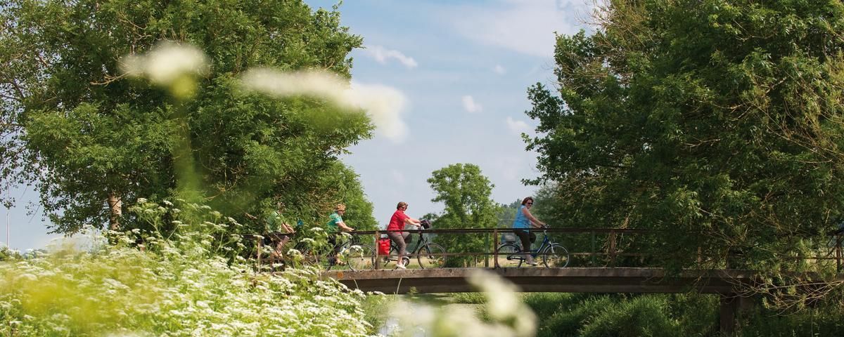
The most beautiful long-distance cycle paths in Franconia
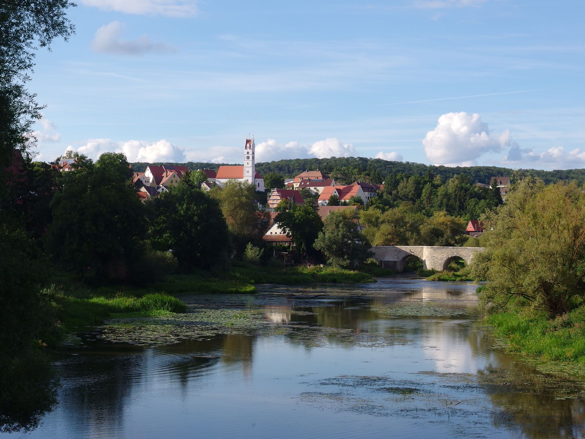
The Romantic Road – 10 fabulous stages
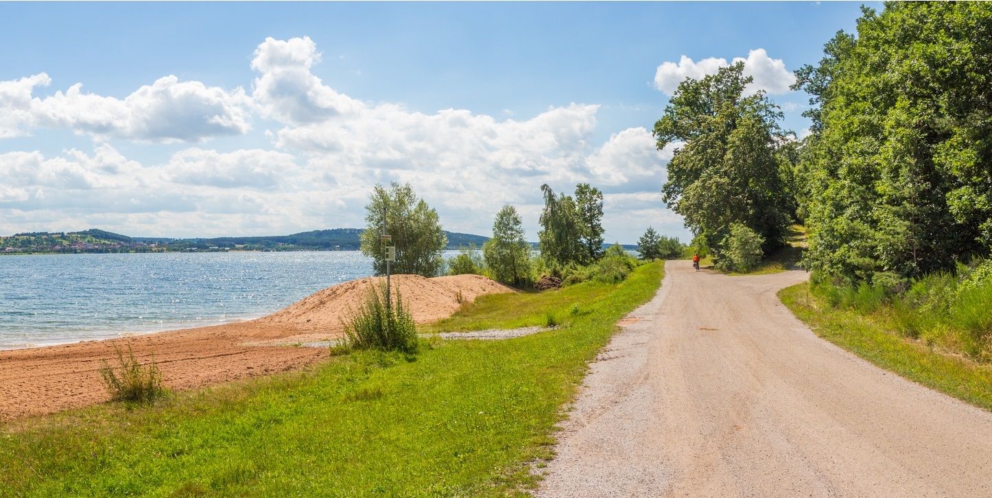
The Franconian Water Bike Path – 8 days of creeks, lakes & rivers

The National Natural Landscapes in Bavaria
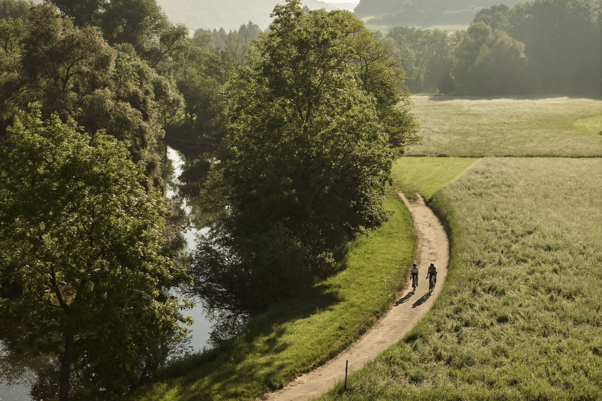
River delights & timber frames – riverside cycling in Süden ganz oben
Gravel meets rail – gravel rides in the greater Nuremberg area
City, country, lake – VGN leisure tips 2025
Other adventures in Landkreis Ansbach


Tips from the Community

The gradient is quite even and without ramps
4
0

approx. 40m uphill and back down again! 😍🥰😘
0
0

On weekends, when the weather is nice, there are often lively excursions. If you want to have a clear path for the descent, it is better to head for the Hesselberg during the week.
4
0

The Hesselberg is 689.4 m above sea level. NHN the highest elevation in Middle Franconia. It is 4 km northwest of Wassertrüdingen.
1
0

Beautiful view of the floodplains of the Wörnitz and the Hesselberg.
4
0

The Landsknecht is the highest elevation of the northern Franconian Heights at 534m above NHN - almost - strictly speaking, this is the Sandberg, the two ridges were swapped, the Landsknecht is at an altitude of 526m above NHN and the Sandberg is 534m above NHN
1
0

As a witness mountain (a single mountain in a layered landscape) of the Franconian Jura, the Hesselberg is geologically closely related to the Staffelberg (Lichtenfels district) or the Walberla (Forchheim district). The Hesselberg also has a Nazi past, like so many other things. During the Nazi era, the Franconian Gauleiter Julius Streicher made the Hesselberg a political meeting place for the National Socialists. After the NSDAP came to power, party rallies developed into the Franconian Days, which were held annually until 1939. Alongside the Nuremberg Party Rallies, these were the largest Nazi rallies in Franconia, with up to 100,000 people in attendance. Evidence from this period can no longer be found on the Hesselberg today. Since 1951, the Hesselberg has been in church hands and is, among other things, the venue for the Bavarian Evangelical Church Congress.
10
0

You can get a stamp here on the summit if you have climbed the Hesselberg. The view is mesmerizing. In good weather you can sometimes even see the Alps. Definitely worth hiking up.
6
0
Frequently Asked Questions
What are the most prominent mountain peaks in Landkreis Ansbach?
The most prominent peak in Landkreis Ansbach is the Hesselberg Summit, which is also the highest elevation in Middle Franconia at 689 meters. Other notable peaks include the Landsknecht Summit, recognized as the highest point of the Northern Frankenhöhe at 534 meters, and the Kreuzlesberg, known for its views towards Rothenburg ob der Tauber. The Wachtlerberg Summit is also a significant elevation in the region.
What makes the Hesselberg a special destination?
The Hesselberg is special due to its geological significance as a "witness mountain" of the Franconian Jura, offering insights into the region's past. It provides expansive panoramic views of the picturesque landscape, towering over its surroundings. The mountain also has a rich history, having served as a political meeting place and now hosting church events. It's a popular spot for hiking, with various trails leading to its summit.
Are there dedicated hiking trails on the Hesselberg?
Yes, the Hesselberg Trail is a popular circular route designed to showcase the mountain's nature, history, and geology. This trail typically takes 2-3 hours to hike and leads over the Hesselberg's three peaks, including the main peak, Wilhelmsstein, and the highest point of the Osterwiese. It also features information boards on geology, botany, and history.
What kind of views can I expect from the Hesselberg?
From the Hesselberg Summit, you can expect magnificent panoramic views of the surrounding area. On clear days, visitors have reported seeing as far as the Alps. The mountain's elevation allows for expansive vistas over the picturesque landscape of Middle Franconia.
Is the Hesselberg suitable for families?
Yes, the Hesselberg is considered family-friendly. The Hesselberg Landscape Protection Area and the summit itself are categorized as family-friendly destinations. The various trails offer opportunities for enjoyable outings with children, and the natural monument status adds to its appeal for educational family trips.
What is the highest point in the Northern Frankenhöhe?
The highest point in the Northern Frankenhöhe is the Landsknecht Summit, which reaches an elevation of 534 meters. This spot is recognized for its views and is also considered a family-friendly natural monument.
What historical significance does the Hesselberg hold?
The Hesselberg has a complex past. During the Nazi era, it served as a political meeting place for National Socialists, hosting large rallies known as the Franconian Days. After 1951, the mountain came under church ownership and now hosts events such as the Bavarian Evangelical Church Congress.
What outdoor activities can I do near the mountain peaks in Landkreis Ansbach?
The region around the mountain peaks in Landkreis Ansbach offers a variety of outdoor activities. You can find numerous hiking opportunities, including easy trails like those found in the Easy hikes in Landkreis Ansbach guide. For cyclists, there are extensive Road Cycling Routes and MTB Trails available, catering to different skill levels.
Are there easy hiking options available near the peaks?
Yes, Landkreis Ansbach offers several easy hiking options. For instance, you can explore routes like the "Wassertrüdingen - Roman Empire meets urban art | Tour S42" or the circular walks around Rothenburg ob der Tauber, such as the "Sieber Tower – Wobbly Bridge at the Fuchsmühle loop." More easy hikes can be found in the Easy hikes in Landkreis Ansbach guide.
Can I find cycling routes in the region around the mountain peaks?
Absolutely. Landkreis Ansbach is well-suited for cycling, offering both road cycling and mountain biking routes. You can find challenging road cycling routes like the "Aicher Weiher – Colmberg Castle loop" or more moderate MTB trails such as the "Kreuzeiche (Cross Oak) – Höllgraben Trail loop." Explore more options in the Road Cycling Routes in Landkreis Ansbach and MTB Trails in Landkreis Ansbach guides.
What natural features can I explore in the Landkreis Ansbach mountain region?
The region is characterized by a generally hilly landscape with prominent elevations. You can explore geological wonders like the Hesselberg, a "witness mountain" of the Franconian Jura. The area also features idyllic meadows and forests, offering a diverse natural environment for exploration. Many peaks, like the Landsknecht Summit, are designated natural monuments.
What do visitors enjoy most about the mountain peaks in Landkreis Ansbach?
Visitors frequently praise the stunning panoramic views, especially from the Hesselberg Summit, which offers expansive vistas. The diverse hiking opportunities, ranging from leisurely strolls to more challenging routes, are also highly appreciated. The unique geological and historical aspects of peaks like the Hesselberg add an enriching dimension to the outdoor experience.
Are there any peaks offering views of Rothenburg ob der Tauber?
Yes, the Kreuzlesberg is a notable peak that offers hikers beautiful views towards Gebsattel and the medieval old town of Rothenburg ob der Tauber. Its gentle slopes and charming views of the Tauber valley make it a worthwhile visit for those interested in scenic overlooks.
Most popular routes in Landkreis Ansbach
Most popular attractions in Landkreis Ansbach

Get inspired with the komoot mobile app


Didn’t find what you were looking for?
Discover Landkreis Ansbach’s best peaks and summits by region:
Explore more
See even more amazing summits in Landkreis Ansbach with these guides:
