The best running trails in Landkreis Ansbach
4.5
(1022)
12,313
runners
1,593
runs
Jogging routes in Landkreis Ansbach traverse a diverse landscape in Bavaria, Germany. The region features the gentle, hilly terrain of the Franconian Heights in the north, alongside extensive forests and heaths in the southern parts. Notable natural features include the Altmühl and Tauber rivers, which offer idyllic riverside paths, and the Hesselberg, a prominent "witness mountain" providing distinct routes. The district also contains numerous nature reserves and protected areas, safeguarding varied biotopes for outdoor activities.
Best jogging routes in Landkreis…
Last updated: August 25, 2026
4.0
(2)
185
runners
8.31km
00:51
30m
30m
Moderate run. Good fitness required. Mostly paved surfaces. Suitable for all skill levels.
3.9
(11)
158
runners
7.88km
00:49
30m
30m
Moderate run. Good fitness required. Mostly paved surfaces. Suitable for all skill levels.

Sign up for free
4.0
(11)
130
runners
4.39km
00:28
30m
30m
Easy run. Great for any fitness level. Mostly paved surfaces. Suitable for all skill levels.
4.0
(2)
116
runners
14.7km
01:31
40m
40m
Moderate run. Good fitness required. Mostly paved surfaces. Suitable for all skill levels.
3.0
(1)
83
runners
5.49km
00:34
10m
10m
Moderate run. Good fitness required. Mostly paved surfaces. Suitable for all skill levels.
64
runners
12.0km
01:25
280m
280m
Moderate run. Good fitness required. Mostly paved surfaces. Suitable for all skill levels.
66
runners
17.6km
01:49
60m
60m
Hard run. Very good fitness required. Mostly paved surfaces. Suitable for all skill levels.
4.0
(1)
65
runners
Moderate run. Good fitness required. Mostly paved surfaces. Suitable for all skill levels.
4.6
(8)
67
runners
Moderate run. Good fitness required. Mostly paved surfaces. Suitable for all skill levels.
4.0
(1)
75
runners
8.58km
00:53
20m
20m
Moderate run. Good fitness required. Mostly paved surfaces. Suitable for all skill levels.
Get access to more routes and recommendations from other explorers.
Sign up for free
Already have an account?
Our route recommendations are based on thousands of hikes, rides, and runs completed by other people on komoot.
Start today with a free account
Your next adventure awaits.
Login or Signup
Popular around Landkreis Ansbach
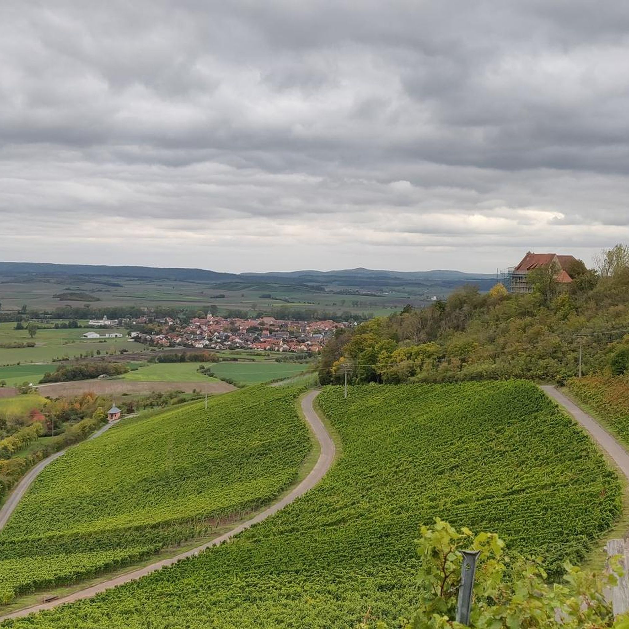
Running Trails in Naturpark Frankenhöhe
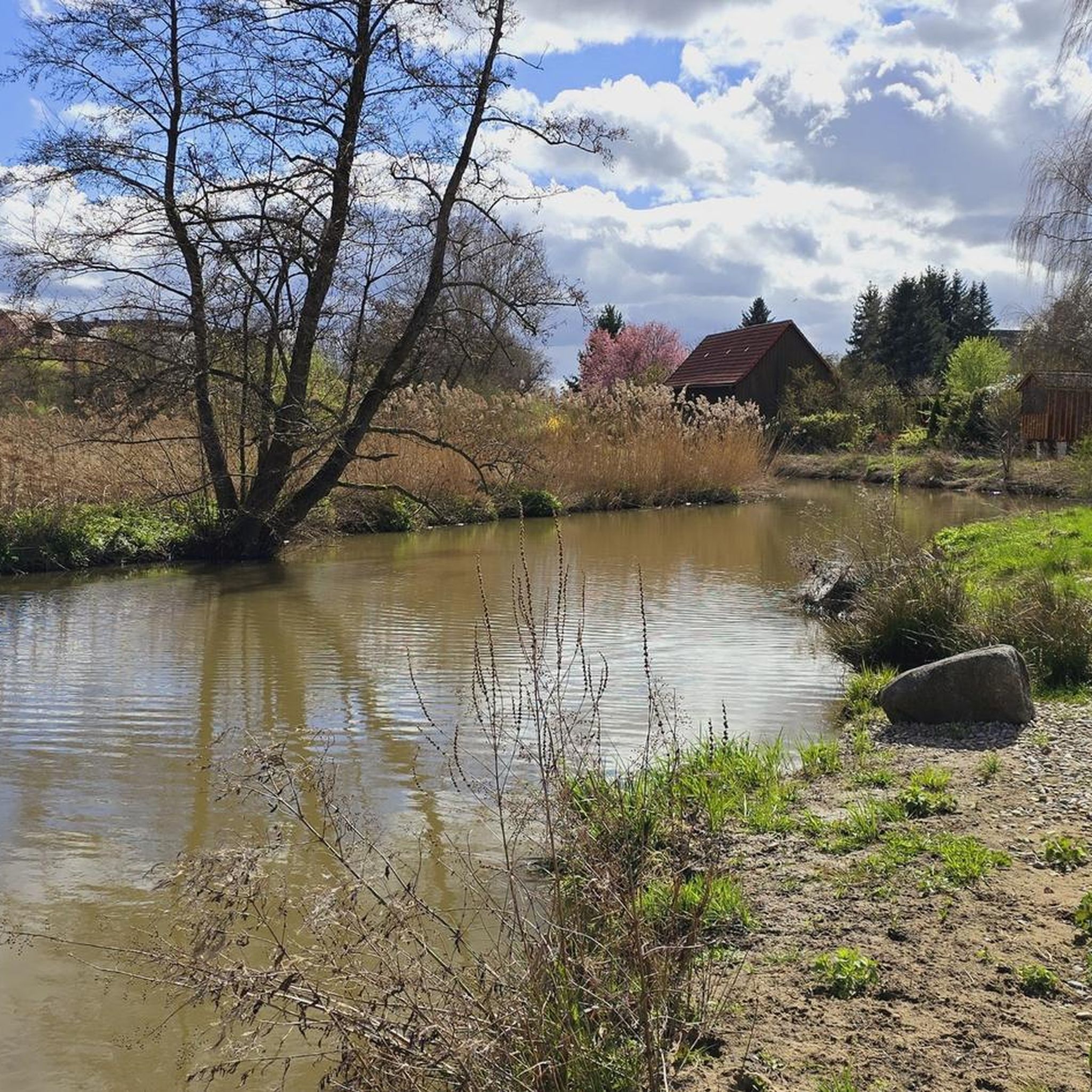
Running Trails around Dinkelsbühl
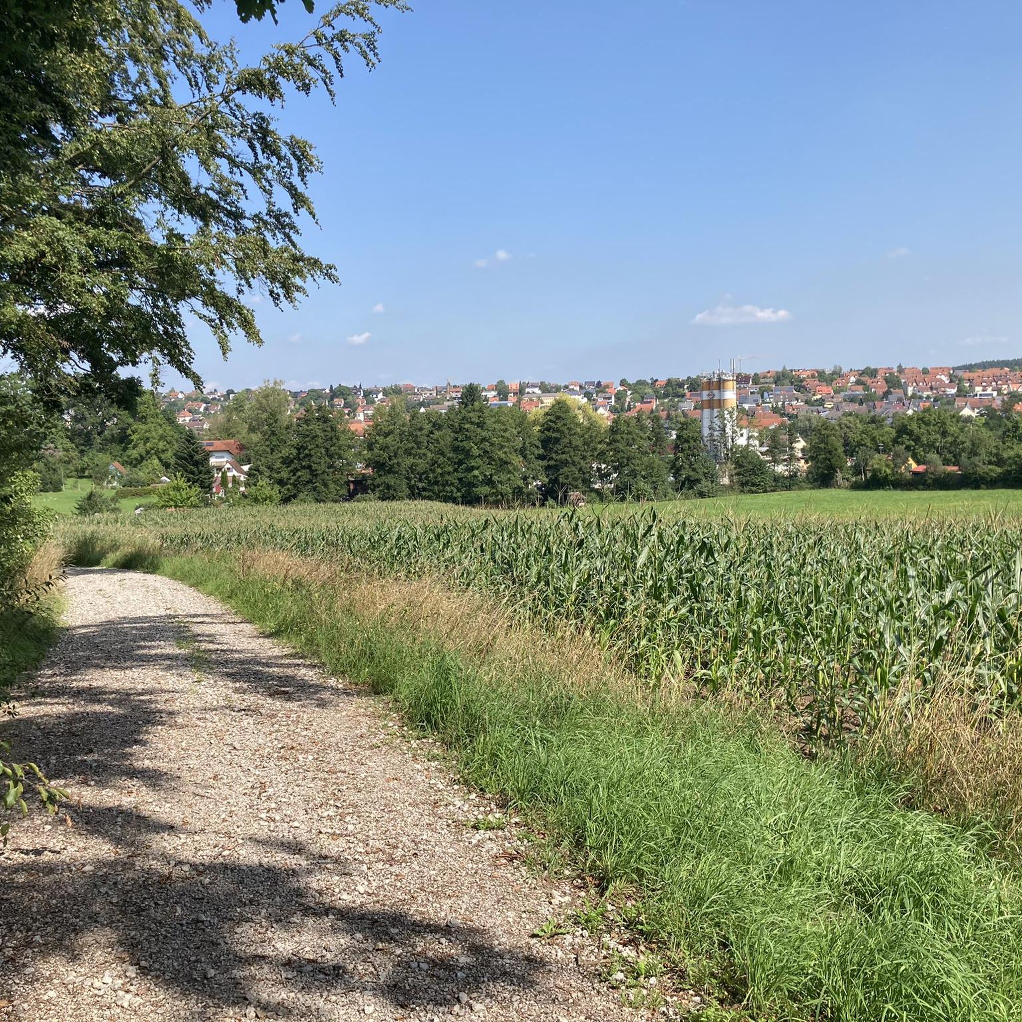
Running Trails in Feuchtlach
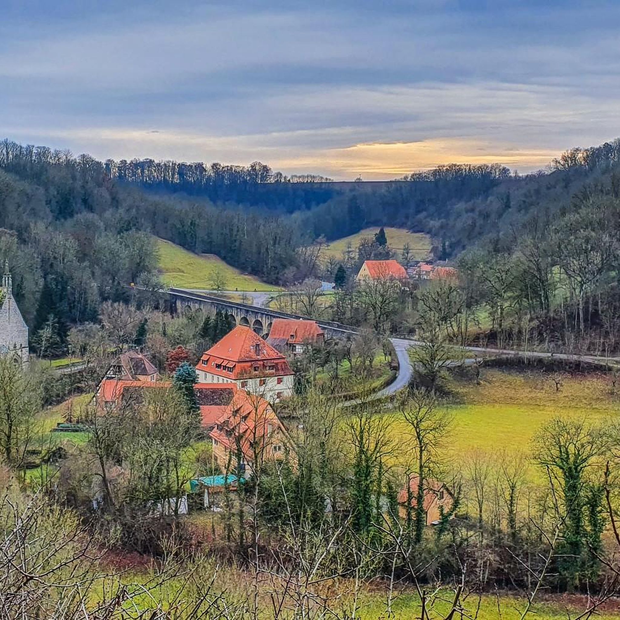
Running Trails around Rothenburg ob der Tauber
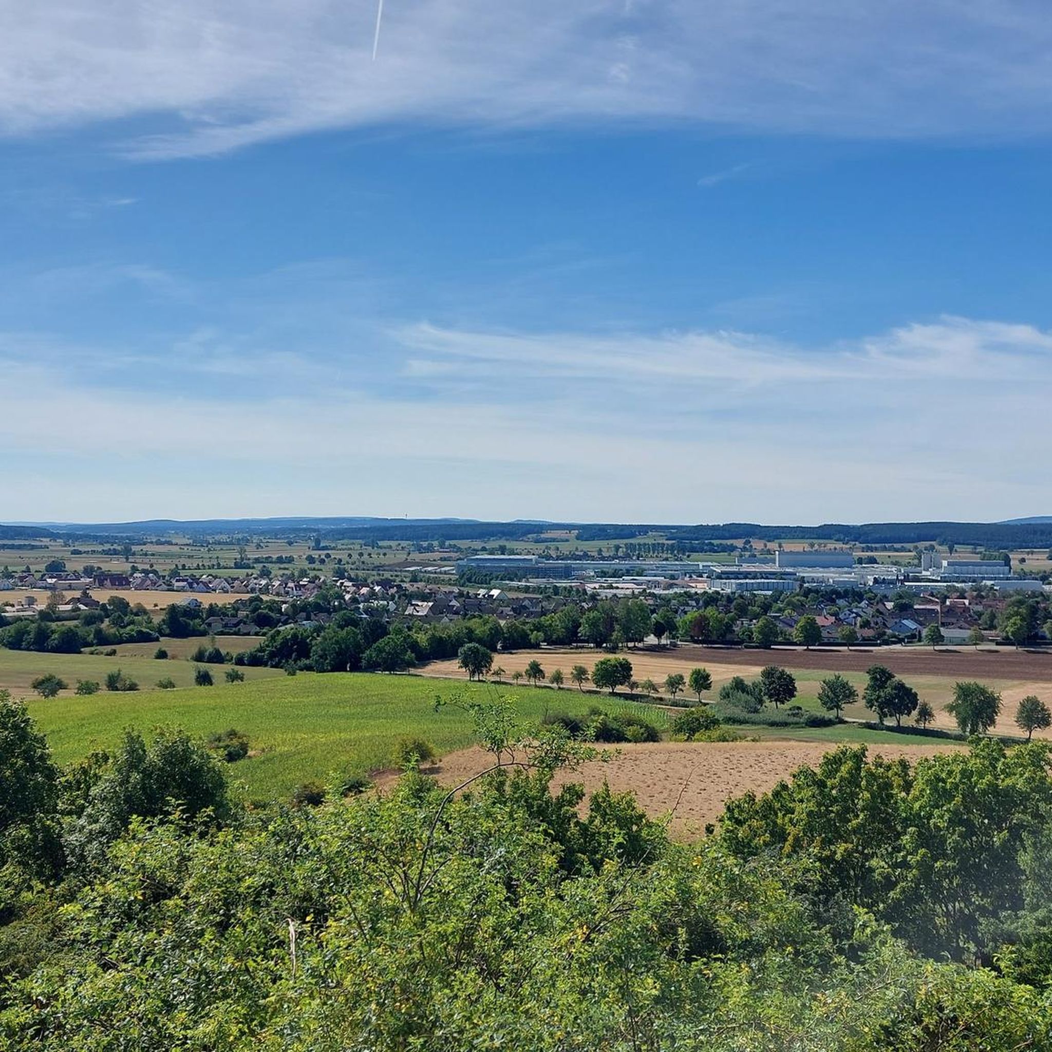
Running Trails around Herrieden
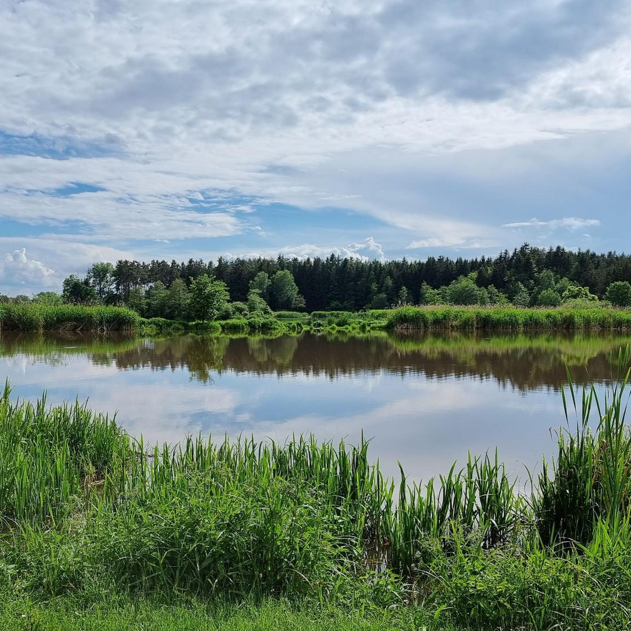
Running Trails around Dennenloher Lake
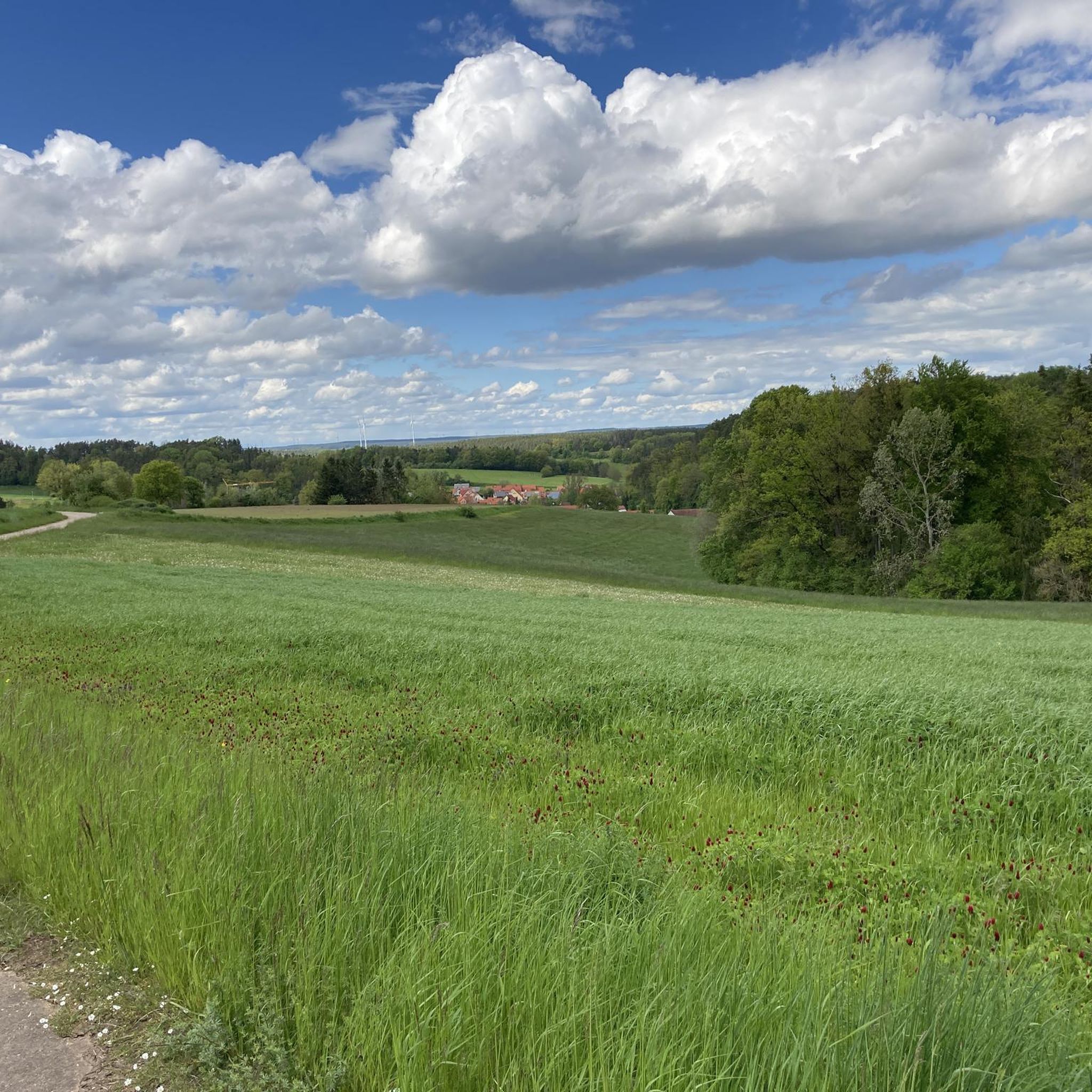
Running Trails around Heilsbronn
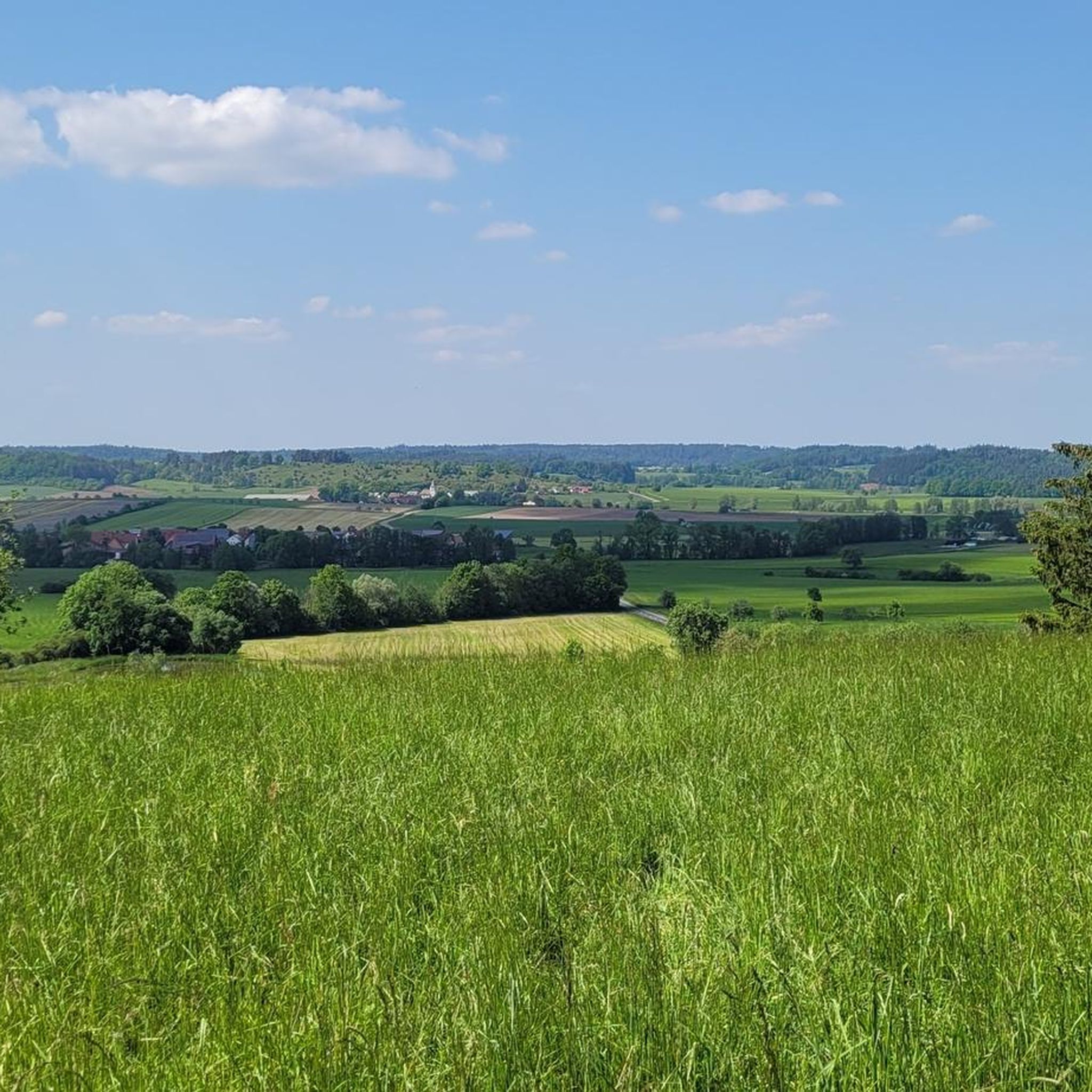
Running Trails around Buch am Wald
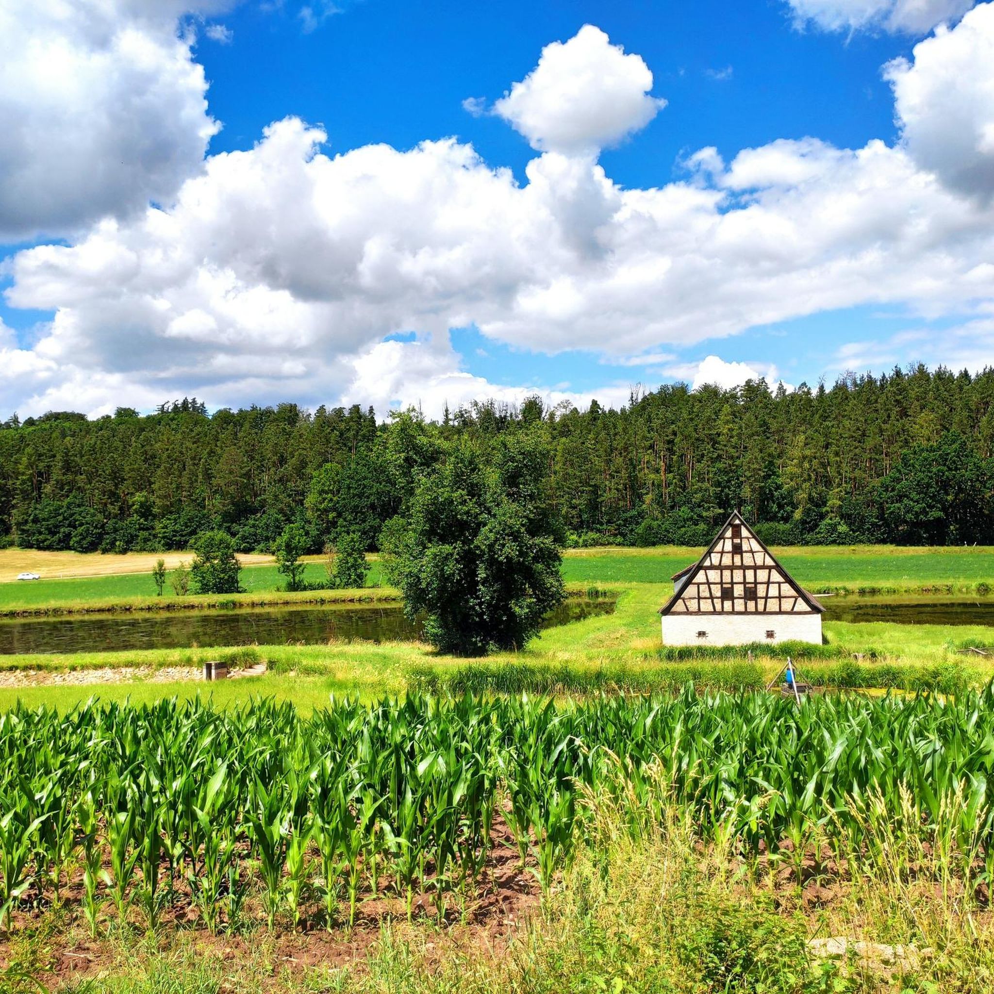
Running Trails around Sachsen bei Ansbach
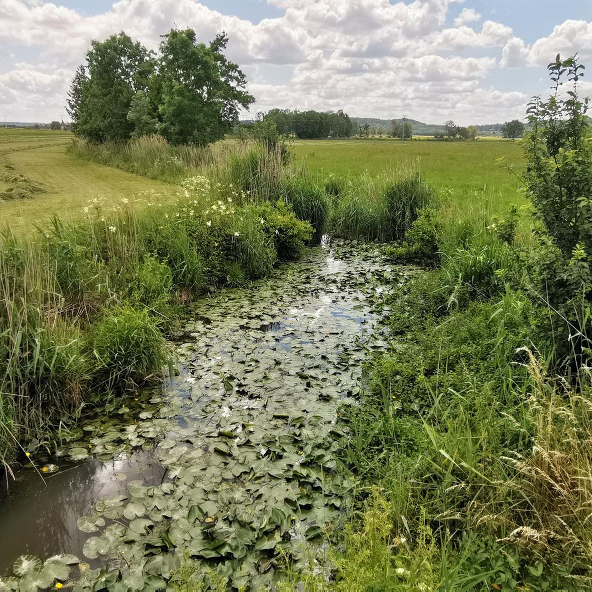
Running Trails around Feuchtwangen
Other adventures in Landkreis Ansbach


Tips from the Community

Towers over towers on the old fortifications in Dinkelsbühl. Picturesque and very beautiful to look at.
3
0

A really very, very beautiful old town. You should have seen it
0
0

Tower on the upper wall path with inscription and coat of arms in the door
0
0

A magical little town to discover: all around and within!
1
0
A very nice playground with a variety of equipment and play options. Benches and rest areas are also available.
0
0
Marketing highlight in front of the Bäuerlins Tower
1
0
Modern and diverse children's playground
0
0
Frequently Asked Questions
How many running routes are available in Landkreis Ansbach?
Landkreis Ansbach offers a vast network of over 1,600 running routes. These trails cater to various preferences, with nearly 200 easy routes, over 1,200 moderate options, and close to 180 challenging trails for experienced runners.
What kind of terrain can I expect on the running trails in Landkreis Ansbach?
The region boasts diverse terrain, from the gentle, rolling hills of the Franconian Heights in the north to extensive forests and heaths in the south. You'll find idyllic riverside paths along the Altmühl and Tauber rivers, and distinct routes around natural monuments like the Hesselberg, offering varied landscapes for your run.
Are there running routes suitable for families or beginners?
Yes, Landkreis Ansbach has numerous family-friendly and easy running routes. For instance, the Rothenburger Weiher – Dinkelsbühl Old Town loop from Dinkelsbühl is an easy 2.8-mile (4.5 km) path that combines scenic views with historical charm, perfect for a relaxed run.
Can I bring my dog on the running trails in Landkreis Ansbach?
Many trails in Landkreis Ansbach are dog-friendly, especially those through natural landscapes like forests and river valleys. It's always a good idea to keep your dog on a leash, especially in nature reserves or near wildlife, and to check local regulations for specific areas.
Are there circular running routes in the region?
Absolutely. Many running routes in Landkreis Ansbach are designed as circular loops, allowing you to start and finish at the same point. A popular example is the Running loop from Neuendettelsau, a 4.7-mile (7.5 km) trail offering a consistent path for a moderate run.
What natural attractions can I see along the running routes?
While running, you can explore various natural features. The region is home to 15 nature reserves and 2 landscape protection areas. You might encounter picturesque river valleys like the Tauber Valley, or dramatic gorges such as the Steinbachtal Valley and Teufelsgraben near Dombach im Loch. The prominent Hesselberg mountain also offers unique natural sights.
Are there running routes with good viewpoints?
Yes, Landkreis Ansbach offers several running routes with rewarding vistas. The Hesselberg, a 'witness mountain' of the Franconian Jura, provides excellent panoramic views. You can also find scenic viewpoints overlooking the Taubertal or distant views of historic towns like Rothenburg ob der Tauber. Consider the Hesselberg Summit Cross – View from Hesselberg loop from Ehingen for an elevated experience.
What do other runners enjoy most about jogging in Landkreis Ansbach?
The running trails in Landkreis Ansbach are highly rated by the komoot community, with an average score of 4.5 stars from over 800 reviews. Runners often praise the diverse landscapes, from serene river valleys to shaded forest trails, and the well-preserved natural areas that make for an enjoyable outdoor experience.
Are there running routes that pass through historic towns?
Yes, you can combine your run with cultural immersion. Historic towns like Dinkelsbühl offer unique jogging experiences. The Rothenburger Weiher – Dinkelsbühl Old Town loop from Dinkelsbühl, for example, takes you through the charming old town, allowing you to run past historical sites and half-timbered houses.
Are there longer running routes for endurance training?
For those seeking longer distances, Landkreis Ansbach has plenty of options. The Zieler Recreation Park – Wasserzeller Mill loop from Lehrberg is a challenging 10.9-mile (17.6 km) route, ideal for endurance training. Many other moderate and difficult trails extend beyond 10 km.
Can I find running routes accessible by public transport?
While many routes are best accessed by car, some towns and villages in Landkreis Ansbach are served by public transport, making certain running trails accessible. It's advisable to check local bus or train schedules for specific starting points, especially for routes near larger towns like Ansbach or Dinkelsbühl.
Are there running routes with parking available?
Yes, many running routes in Landkreis Ansbach have designated parking areas nearby, especially at popular trailheads or recreational parks. For example, routes starting from towns like Ansbach, Neuendettelsau, or Dinkelsbühl often have convenient parking options.
Most popular routes in Landkreis Ansbach
Most popular attractions in Landkreis Ansbach

Get inspired with the komoot mobile app


Didn’t find what you were looking for?
Check out more Running Trails & Routes throughout Landkreis Ansbach below and find the perfect route in your destination.
Explore more
Browse the best Running Trails & Routes in other regions.
