The best running trails around South St. Paul
4.0
(2)
923
runners
85
runs
Jogging routes around South St. Paul offer diverse natural landscapes, including the scenic Mississippi River shoreline and numerous parks. The region is characterized by paved greenways, wooded ravines, and riverside bluffs, with some trails winding through oak-wooded valleys, past limestone cliffs, and across open prairies. This network provides a variety of terrain for runners and nature enthusiasts.
Best jogging routes around South St. Paul
- The most popular jogging route is Salem Hills Trail, a 4.3 miles (6.9 km) trail…
Last updated: May 27, 2026
4
runners
8.37km
00:53
80m
80m
Moderate run. Good fitness required. Mostly paved surfaces. Suitable for all skill levels.
3
runners
6.93km
00:50
40m
40m
Moderate run. Good fitness required. Mostly paved surfaces. Suitable for all skill levels.

Sign up for free
2
runners
9.78km
01:03
50m
50m
Moderate run. Good fitness required. Mostly paved surfaces. Suitable for all skill levels.
1
runners
4.49km
00:28
50m
50m
Easy run. Great for any fitness level. Mostly paved surfaces. Suitable for all skill levels.
1
runners
6.30km
00:41
50m
50m
Moderate run. Good fitness required. Mostly paved surfaces. Suitable for all skill levels.
Get access to more routes and recommendations from other explorers.
Sign up for free
Already have an account?
Our route recommendations are based on thousands of hikes, rides, and runs completed by other people on komoot.
Start today with a free account
Your next adventure awaits.
Login or Signup
Tips from the Community

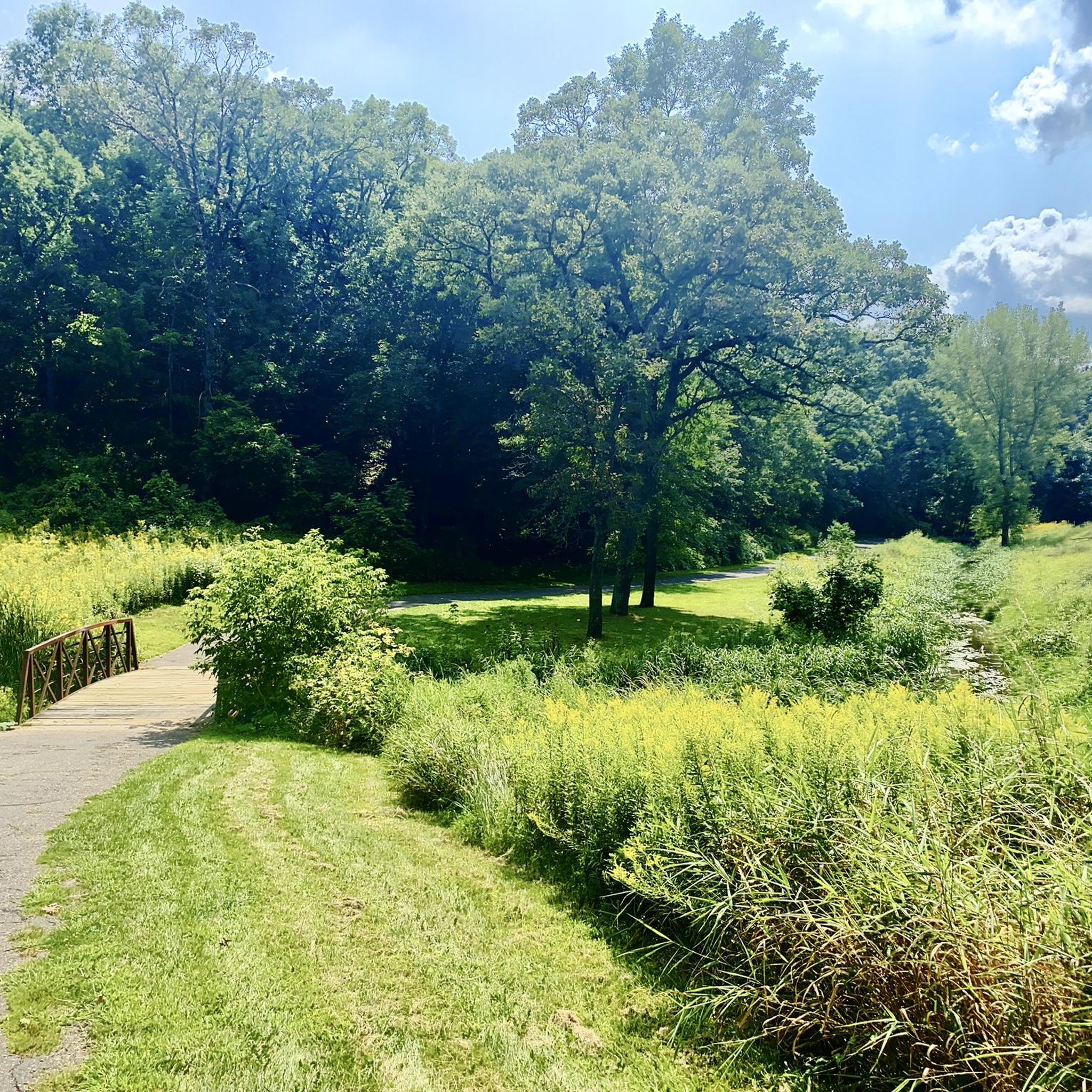
Interesting bridge, would like to learn more about it.
0
0
Great park, I have been here for Mountain Biking, but today went not realizing it was the same park (I know it as Salem Hills), but it combines with the reserve. Anyway, had a nice hike, lots of other hikers out, and only saw one biker and he was in the parking lot.
0
0

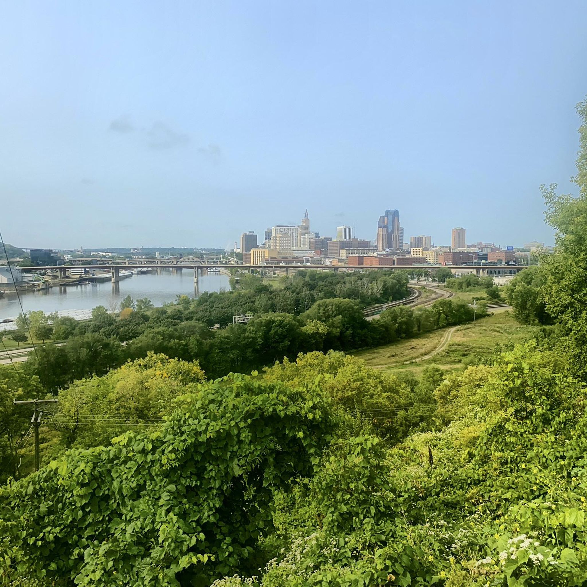
The Bruce Vento Regional Trail is a paved rail trail that runs through Vadnais Heights, Gem Lake, Maplewood, and Saint Paul. It is 13 miles long and links several parks and green areas.
0
0
Battle Creek Regional Trail is a popular trail within Battle Creek Regional Park. The trail passes through forest and grassland and alongside several waterfalls.
0
0

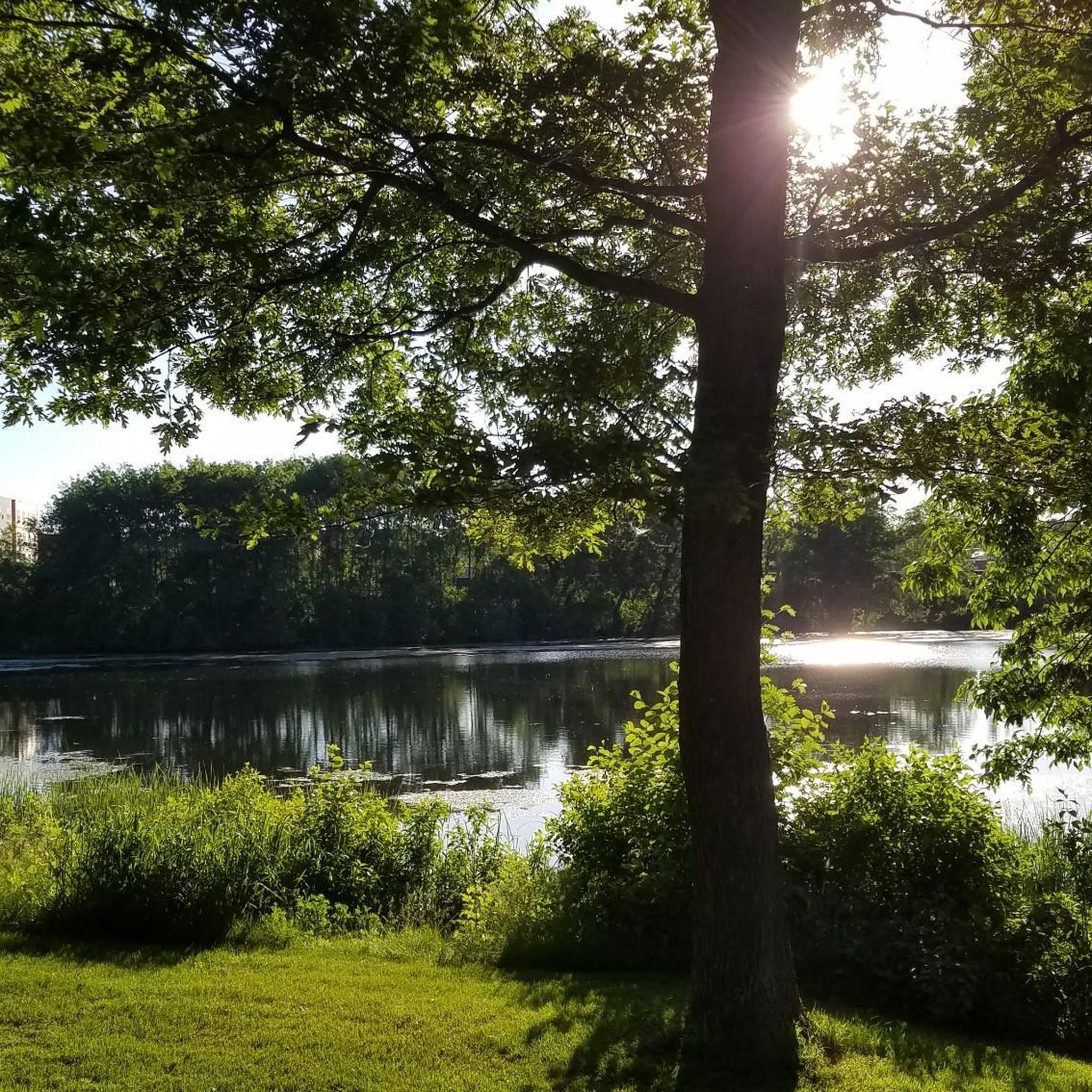
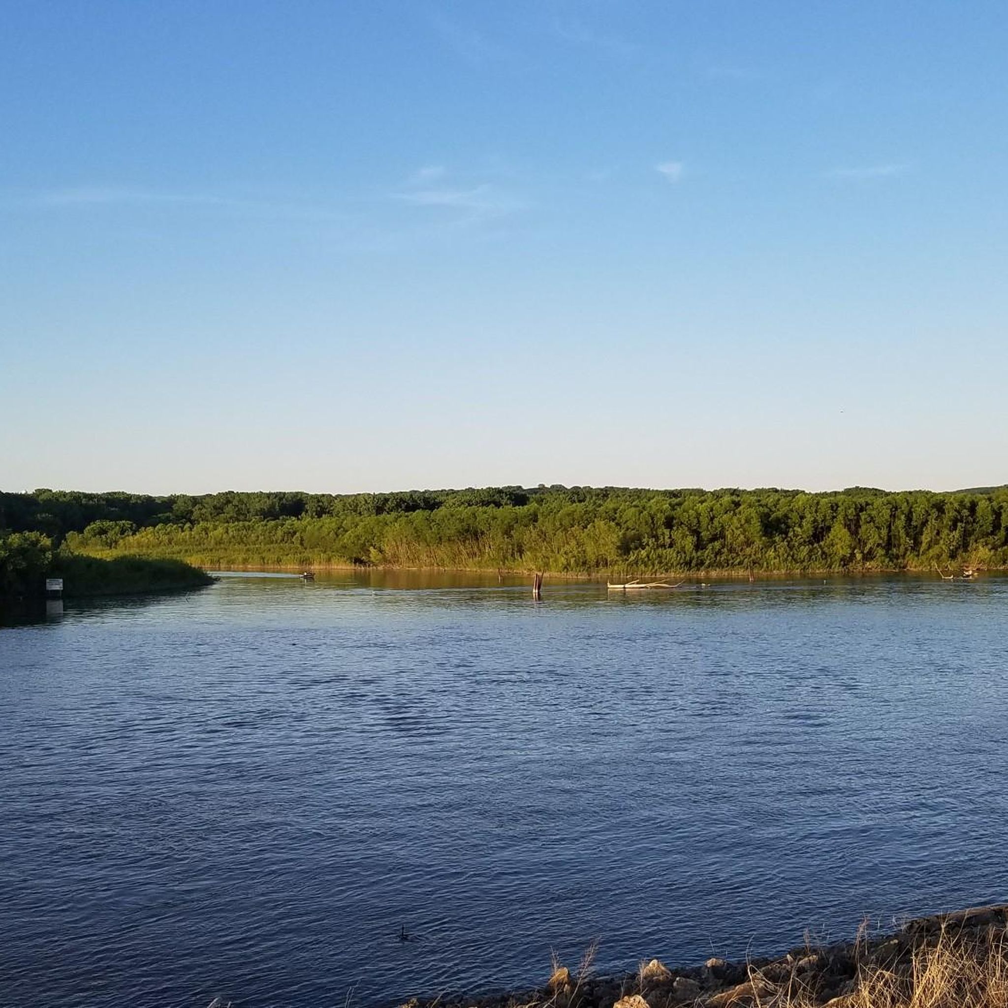
Little Pig's Eye Lake is a serene and peaceful location that is highly favored amongst bird watchers. Keep an eye out for the Green-winged Teal Flock, often seen in the region. It's an ideal place to pause and appreciate this picturesque spot's tranquility.
0
0
Frequently Asked Questions
How many running routes are available in South St. Paul?
There are over 80 running routes around South St. Paul, offering a wide variety of options for all skill levels. This includes 11 easy routes, 60 moderate routes, and 13 more challenging paths.
Are there easy running routes suitable for beginners or families?
Yes, South St. Paul offers several easy running routes. The Bruce Vento Regional Trail is a great option, being a paved rail trail that is generally flat and accessible. Many of the trails along the Mississippi River, like sections of the Mississippi Regional River Trail, also provide smooth, paved surfaces ideal for a relaxed run.
What kind of terrain can I expect on jogging trails in South St. Paul?
The jogging trails in South St. Paul feature diverse terrain. You'll find many paved greenways, especially along the Mississippi River. Other routes, such as the Salem Hills Trail and Battle Creek Regional Trail, wind through oak-wooded valleys, past limestone cliffs, and across open prairies, sometimes including dirt and gravel sections. The landscape also includes wooded ravines and riverside bluffs.
Are there any running routes along the Mississippi River?
Absolutely. The Mississippi River shoreline is a defining feature of the region's running landscape. The Mississippi Regional River Trail, a 5.8-mile paved path, offers flat terrain and scenic views of the river. The Samuel H. Morgan Regional Trail also provides varied scenery along its course near the river.
Can I bring my dog on the jogging trails in South St. Paul?
Many parks and trails in South St. Paul are dog-friendly, but it's always best to check specific park regulations for leash requirements and any restricted areas. Generally, paved greenways and regional trails are welcoming to leashed dogs.
What natural features or landmarks can I see while jogging?
While jogging in South St. Paul, you can enjoy a variety of natural features and landmarks. Many routes offer views of the Mississippi River and its bluffs. You might also pass by Lake Phalen or Como Lake. Trails like the Battle Creek Regional Trail take you through oak-wooded valleys and past limestone cliffs. For bird watchers, Little Pig's Eye Lake is a serene spot to observe wildlife.
Is there public transport access to the running trails?
South St. Paul's trail system is well-integrated, and some trailheads may be accessible via local public transport. For specific routes, it's recommended to check local transit maps and schedules to plan your access points.
Where can I find parking for the jogging routes?
Many of the regional parks and trailheads in South St. Paul, such as those for the River to River Greenway or Kaposia Park, offer designated parking areas. It's advisable to check specific park websites or trail maps for detailed parking information before your run.
Are there any trails that offer a more challenging run?
Yes, for those seeking a more challenging run, South St. Paul has routes with moderate elevation changes and varied terrain. The River to River Greenway, for example, includes varied landscapes and some elevation changes. Overall, 13 of the routes in the area are classified as difficult, providing a good workout.
What do other runners say about the jogging experience in South St. Paul?
The running experience in South St. Paul is highly rated by the komoot community, with an average score of 5.0 stars. Runners often praise the diverse natural landscapes, the scenic views along the Mississippi River, and the well-maintained network of trails that cater to various preferences.
Are there any specific trails known for bird watching?
Yes, Little Pig's Eye Lake is particularly favored by bird watchers, offering a tranquil setting and opportunities to spot various bird species, including the Green-winged Teal Flock. While not a dedicated running trail, its proximity to other routes makes it a great spot to visit before or after your run.
Can I find paved trails for a smooth running experience?
Absolutely. South St. Paul is well-equipped with paved trails, perfect for a smooth running experience. The Mississippi Regional River Trail and the Bruce Vento Regional Trail are excellent examples of paved paths that are ideal for jogging.
Are there options for longer runs by connecting different trails?
Yes, the trail system in South St. Paul is highly interconnected. The River to River Greenway, for instance, links various communities and parks, providing excellent opportunities to combine different sections for longer runs or to explore diverse park experiences within a single outing.
Most popular attractions around South St. Paul

Get inspired with the komoot mobile app


Explore more
Browse the best Running Trails & Routes in other regions.
