The best road cycling routes around Mendota
4.6
(129)
4,297
riders
151
rides
Road cycling around Mendota, specifically Mendota Heights, Minnesota, offers a diverse network of paved routes. The landscape is characterized by its proximity to the Mississippi River, providing scenic river views and connections to extensive regional trail systems. Cyclists can navigate routes that traverse urban parks, follow lake shores, and link to major greenways, offering varied terrain for different skill levels. This area provides numerous opportunities for road cyclists to explore natural and developed environments.
Best road cycling routes around Mendota
…Last updated: July 1, 2026
4.9
(30)
347
riders
38.8km
01:36
120m
120m
Easy road ride. Great for any fitness level. Mostly well-paved surfaces and easy to ride.
51
riders
54.9km
02:28
180m
180m
Moderate road ride. Good fitness required. Mostly well-paved surfaces and easy to ride.

Sign up for free
24
riders
85.9km
03:50
360m
360m
Moderate road ride. Good fitness required. Some segments of this route may be unpaved and difficult to ride.
3.0
(1)
19
riders
15.0km
00:41
100m
100m
Easy road ride. Great for any fitness level. Mostly well-paved surfaces and easy to ride.
6
riders
50.7km
02:26
340m
340m
Moderate road ride. Good fitness required. Mostly well-paved surfaces and easy to ride.
Get access to more routes and recommendations from other explorers.
Sign up for free
Already have an account?
Our route recommendations are based on thousands of hikes, rides, and runs completed by other people on komoot.
Start today with a free account
Your next adventure awaits.
Login or Signup

Tips from the Community

Lake Thomas Fishing Pier offers a mix of shore fishing and small watercraft access in a compact, weed-prone lake. Within the park, anglers can use a large fishing pier and several developed shore-access spots. There is no trailer boat launch, so getting on the water is strictly a carry-in situation for canoes, kayaks, or small inflatables. Seasonal timing matters here: to avoid the worst of the weeds, fishing is typically best in early spring or late autumn. During the peak of summer, anglers should focus on deeper pockets or the edges of the lily pads, where fish are more likely to hold. You’ll primarily find Largemouth Bass, Bluegill, and Black Crappie in this lake. It is considered a decent spot for bass fishing, with most fish measuring between 10 and 14 inches, though local reports occasionally mention bass reaching 16 to 19 inches. Panfish, including Bluegills and crappies, are plentiful but tend to run small, often in the “potato chip” size range.
0
0
Thomas Lake Park is a true gem, featuring a scenic lake with a public fishing pier and small watercraft access, welcoming picnic facilities, an excellent trail system, and a beautiful mix of woodland and prairie.
0
0
Thomas Lake is bordered on one side by private residences and on the other by Thomas Lake Park. The park features an excellent network of trails and picnic areas, as well as a public fishing pier and access for small watercraft.
0
0

Nice neighborhood park, pretty big, nice hiking trail around half the lake with a bridge to cross it. Big picnic building, playground, volleyball, and fishing dock.
2
0
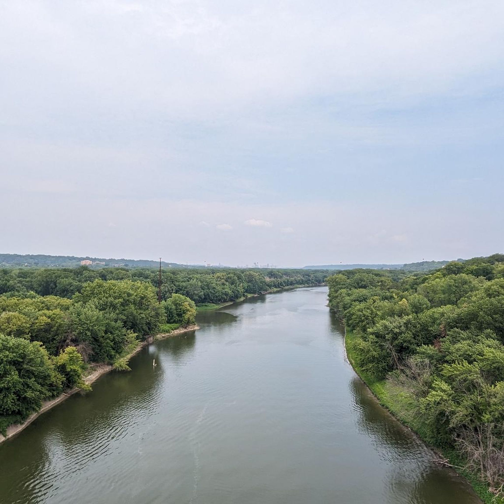
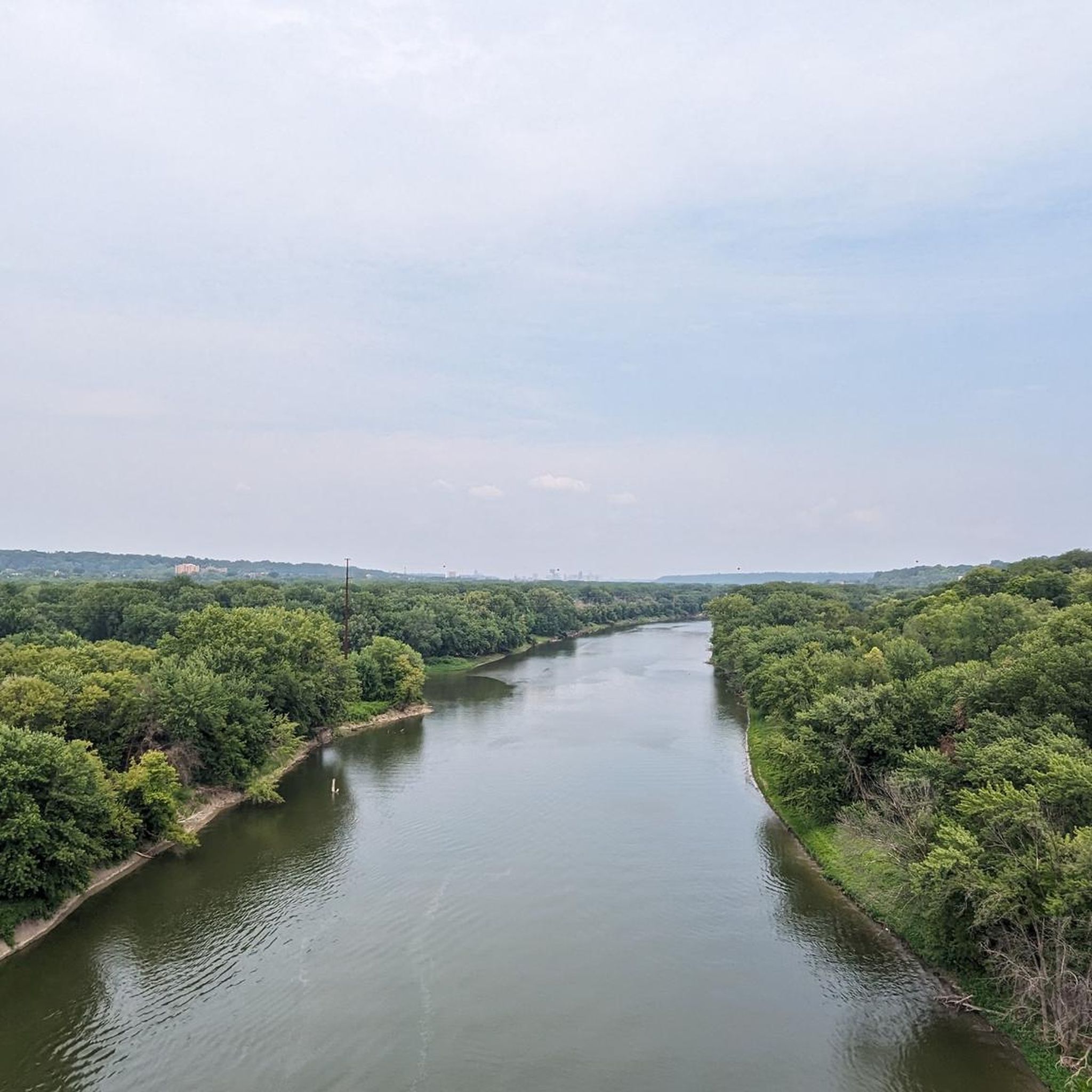
Nice river views from the bike path.
0
0

This creek runs almost 22 miles in total, and is popular with paddlers of all sorts. If you want to kick back and watch them zoom by on the current, pull over and look for some benches on the east bank.
0
0

The Minnehaha Creek Trail is a paved path that follows the creek through parks and neighborhoods, connecting spots like Lake Nokomis and Minnehaha Park. It’s a good place to ride, with small bridges, views of local homes, and access to lakes and waterfalls. It’s a multi-use path, so be respectful, considering it's not really ideal for fast riding.
0
0
Minnehaha Creek runs through south Minneapolis, following the Minnehaha Parkway Regional Trail. This stretch connects Lake Harriet to Minnehaha Regional Park, offering a nice ride along tree-lined paths and running water. Enjoy a smooth route through the city with a mix of shade, bridges, and quiet parkways.
0
0
Frequently Asked Questions
How many road cycling routes are available in the Mendota area?
There are over 150 road cycling routes around Mendota, offering a wide variety of options for different skill levels. You'll find routes ranging from easy loops to more moderate excursions, primarily centered in Mendota Heights, Minnesota.
Are there easy road cycling routes suitable for beginners in Mendota?
Yes, Mendota offers a significant number of easy road cycling routes. More than 80 routes are classified as easy, providing gentle terrain perfect for beginners or those looking for a relaxed ride. An example is the Hiawatha and Minnehaha Statue – Fort Snelling Scenic Overlook loop from Mendota Heights, which is 15.7 miles (25.3 km) long.
What kind of scenery can I expect on road cycling routes around Mendota?
Road cycling routes in Mendota Heights, Minnesota, are characterized by their proximity to the Mississippi River, offering scenic river views and connections to extensive regional trail systems. You can expect to traverse urban parks, follow lake shores, and link to major greenways, providing a mix of natural and developed environments.
Are there any family-friendly road cycling routes in Mendota?
Many of the easy routes in Mendota are suitable for families, especially those that are paved and have minimal elevation changes. The area's network of urban park connectors and lake-view paths often provides safe and enjoyable options for riders of all ages. Consider routes that stick to dedicated bike paths for the best family experience.
Where can I find parking for road cycling trails in Mendota?
Many routes in Mendota start from accessible locations like Fort Snelling State Park or near the VA Medical Center, which typically offer parking facilities. For routes traversing urban parks or connecting to regional trails, look for public parking areas near trailheads or designated access points.
Are there road cycling routes with lake views in Mendota?
Yes, several routes offer beautiful lake views. While the primary focus of the guide data is Mendota Heights, Minnesota, the broader region includes attractions like Lake Nokomis and Pickerel Lake. Routes like the Fort Snelling Overlook – Pickerel Lake loop from VA Medical Center feature Pickerel Lake, providing scenic waterside cycling.
What are some notable landmarks or attractions I can see along the road cycling routes?
Road cycling routes in Mendota offer access to several interesting landmarks and natural features. You can pass by the Minnehaha Falls, explore Fort Snelling, or cycle near the Confluence of the Mississippi and Minnesota Rivers. The Mississippi River Trail itself is a major highlight, offering extensive scenic views.
Are there any challenging road bike routes in Mendota for experienced cyclists?
While the majority of routes are easy to moderate, there is at least one route classified as difficult, and many moderate routes offer longer distances and more varied terrain for experienced cyclists. The region's network allows for longer excursions by combining different segments, providing opportunities for a more challenging ride.
What do other road cyclists enjoy most about road cycling in Mendota?
The road cycling routes in Mendota are highly rated by the komoot community, with an average score of 4.7 stars from over 80 reviews. Cyclists often praise the scenic riverfront paths, the well-connected urban park routes, and the beautiful lake views, particularly the diverse terrain that caters to various ability levels.
Are the road cycling routes in Mendota primarily loop trails?
Yes, many of the popular road cycling routes in Mendota are designed as loops, making them convenient for starting and ending at the same point. Examples include the Mississippi River Overlook – Fort Snelling Scenic Overlook loop from Fort Snelling State Park and the Hiawatha Falls loop from Fort Snelling State Park.
What is the typical distance and elevation gain for road cycling routes in Mendota?
The routes vary significantly. Easy routes like the Hiawatha and Minnehaha Statue – Fort Snelling Scenic Overlook loop cover about 15.7 miles (25.3 km) with around 148 meters of elevation gain. Longer routes, such as the Fort Snelling Overlook – Pickerel Lake loop, can be around 24.1 miles (38.8 km) with approximately 289 meters of elevation gain, offering options for different endurance levels.
Are there any quiet road cycling routes near Mendota, away from heavy traffic?
Many of Mendota's road cycling routes utilize dedicated bike paths, greenways, and park connectors, which are designed to keep cyclists away from heavy vehicular traffic. Routes that follow the Mississippi River or traverse larger parks like Fort Snelling State Park often provide a quieter cycling experience.
Most popular attractions around Mendota

Get inspired with the komoot mobile app


Explore more
Browse the best Road cycling routes in other regions.
