The 11 Most Amazing Peaks around Kreis Steinfurt
Best mountain peaks around Kreis Steinfurt are found in North Rhine-Westphalia, Germany, offering a landscape of charming and historically significant hills. These elevations provide opportunities for hiking, nature observation, and panoramic views across the region. Though modest in height, these peaks are integral to the local landscape and feature unique geological formations and historical routes. The area combines natural beauty with cultural significance, making it a destination for outdoor exploration.
Best mountain peaks around Kreis Steinfurt
- The most popular mountain…
Last updated: July 8, 2026
View from Leedener Berg (Lusthäuschen pavilion)
Highlight • Viewpoint
Translated by Google •
Tip by

Shelter on the Huckberg
Highlight • Mountain Hut
Translated by Google •
Tip by

Sign up now to discover places like this
Get recommendations on the best single tracks, peaks, & plenty of other exciting outdoor places.
Sign up for free
View from the Lusthäuschen (highest point of Leeden)
Highlight • Viewpoint
Translated by Google •
Tip by

Dörenberg climb via Ursberg
Highlight (Segment) • Climb
Translated by Google •
Tip by

View from Westerbecker Berg and Alex Schotte Hut
Highlight • Viewpoint
Translated by Google •
Tip by

Rudolfschacht Spoil Tip Viewpoint
Highlight • Viewpoint
Translated by Google •
Tip by

Panoramic View from Dörper Berg
Highlight • Summit
Translated by Google •
Tip by

Summit Cross on the Old Spoil Heap
Highlight • Summit
Translated by Google •
Tip by

Stairs to the Summit Cross
Highlight (Segment) • Summit
Translated by Google •
Tip by

Klotenberg (156 m)
Highlight • Summit
Translated by Google •
Tip by
Sign up for free to discover even more peaks around Kreis Steinfurt.
Sign up for free
Already have an account?
Start today with a free account
Your next adventure awaits.
Login or Signup
Popular around Kreis Steinfurt
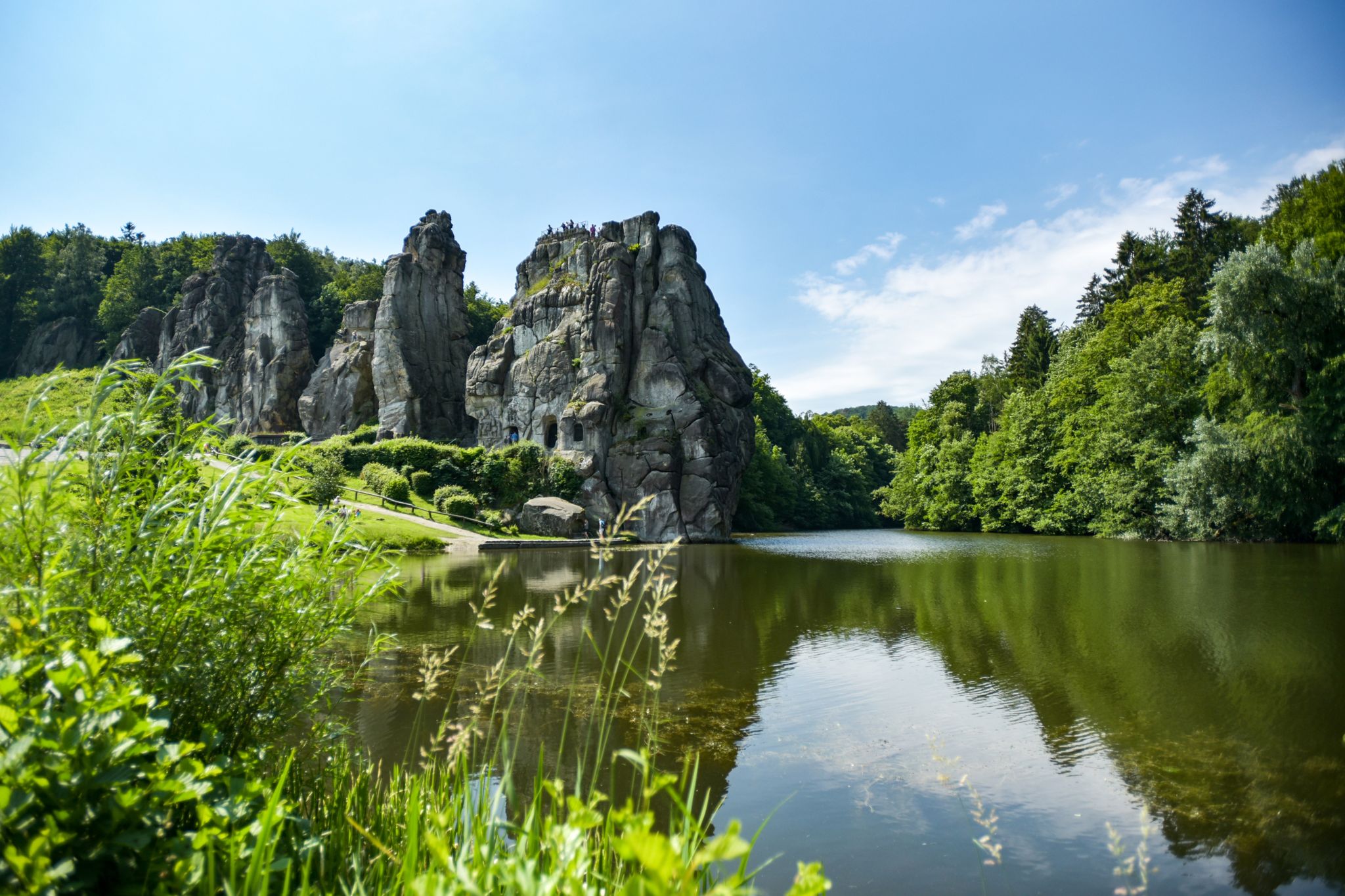
Hiking Germany's Hermannsweg – In the footsteps of the Cheruscan
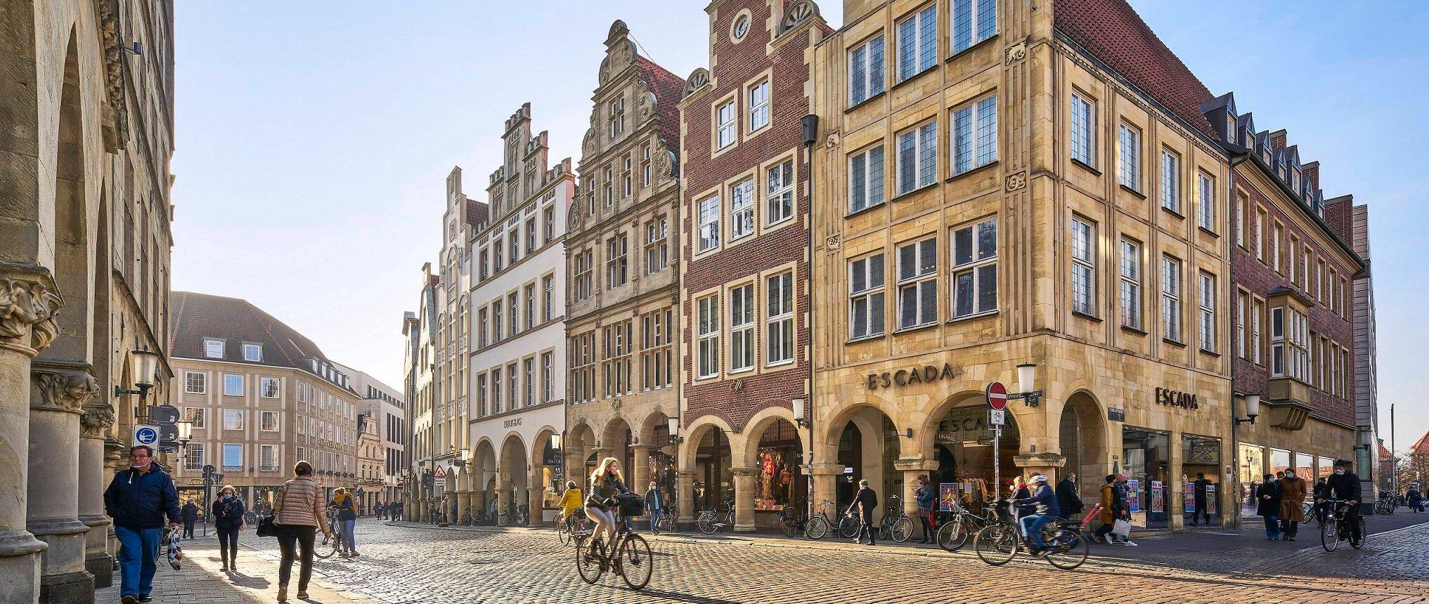
Germany's Westphalian City Tour — linking historic town centres
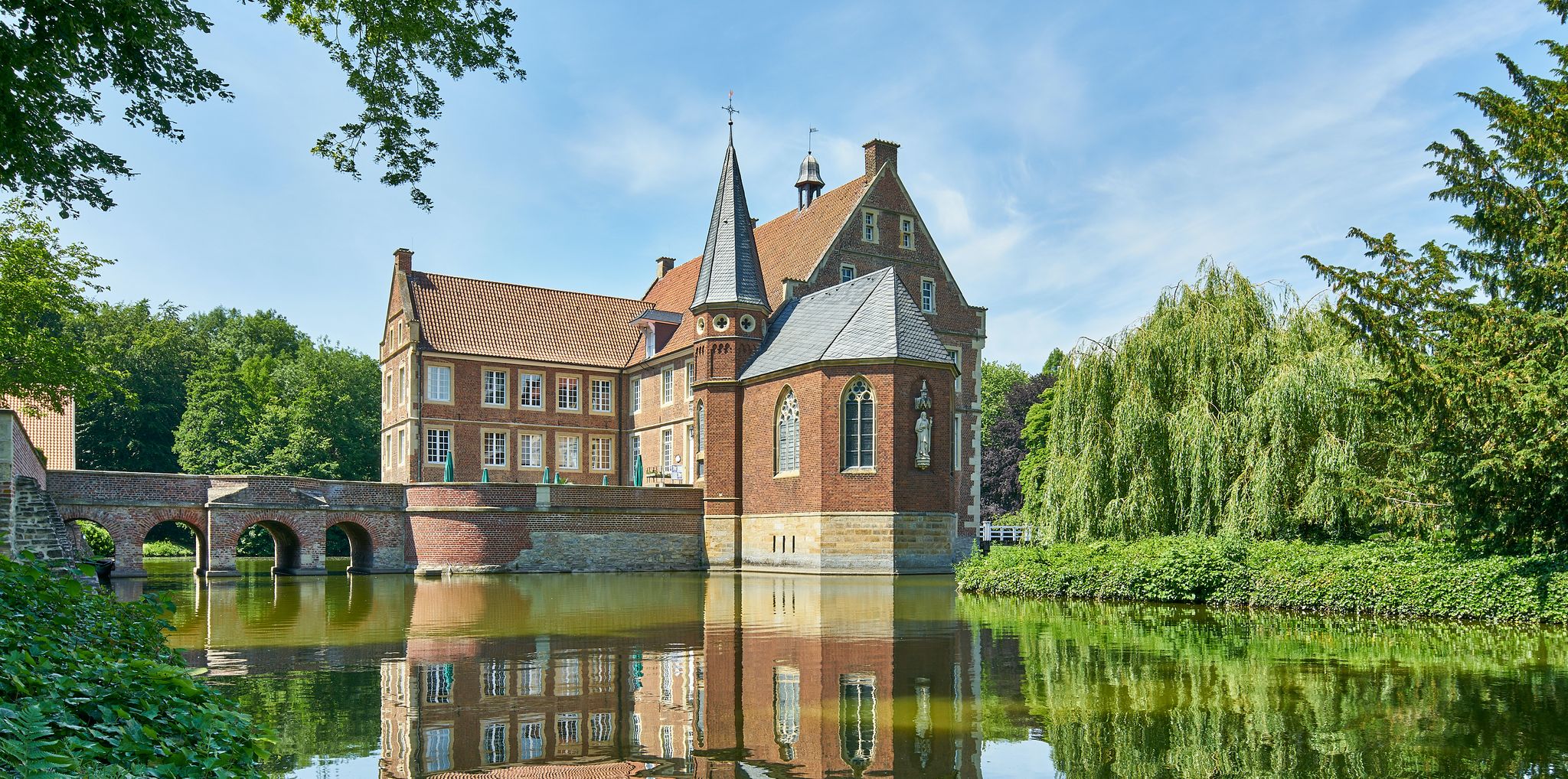
100 Castles Route – Discover the historical treasures of Münsterland by bike
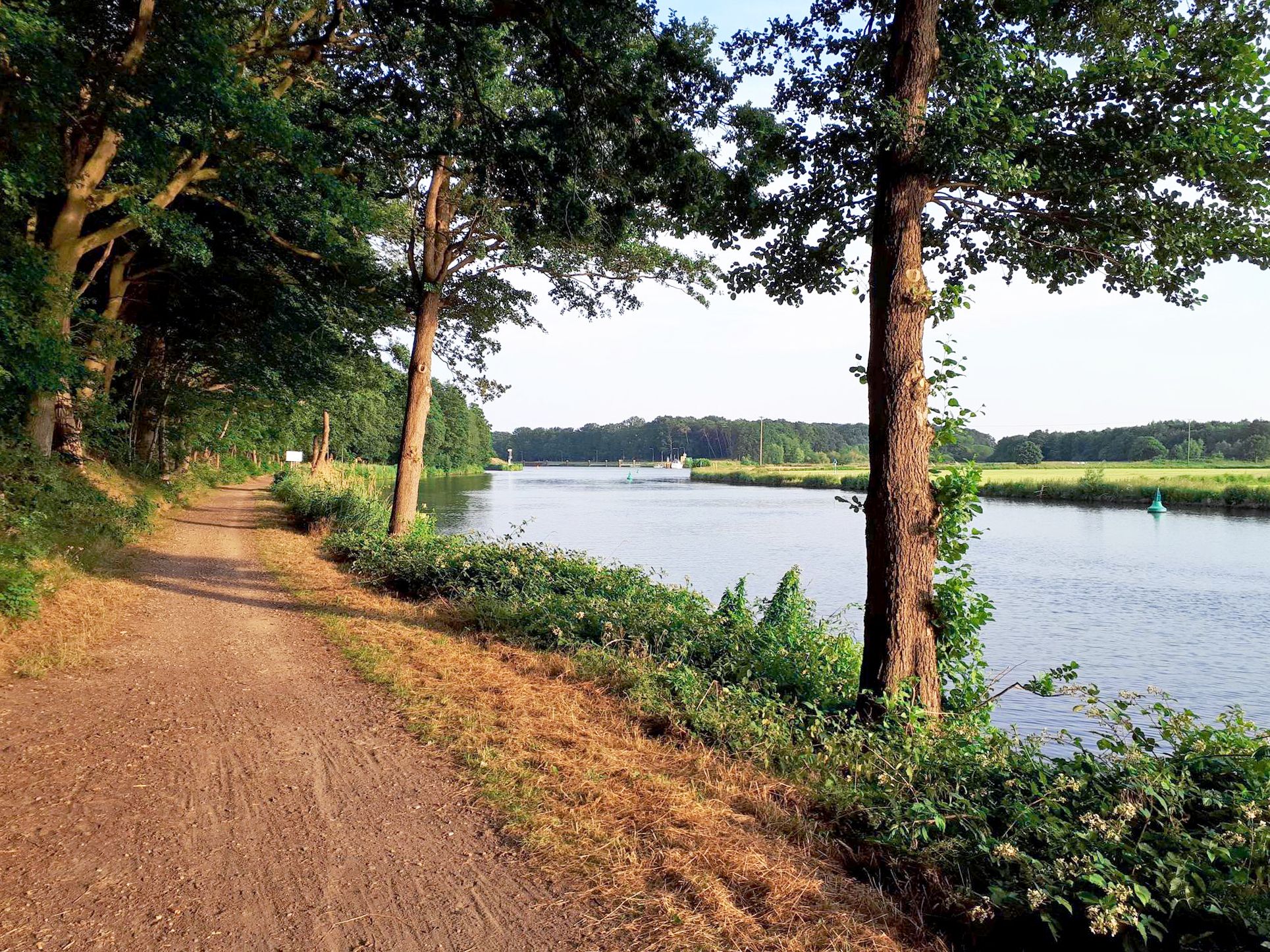
Hase Ems route — cycling through Hasetal and Emsland in 7 stages
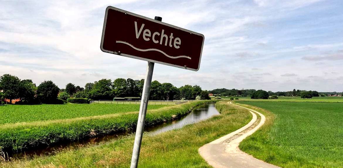
Vechtetal Route – Nature, art & culture in 5 stages
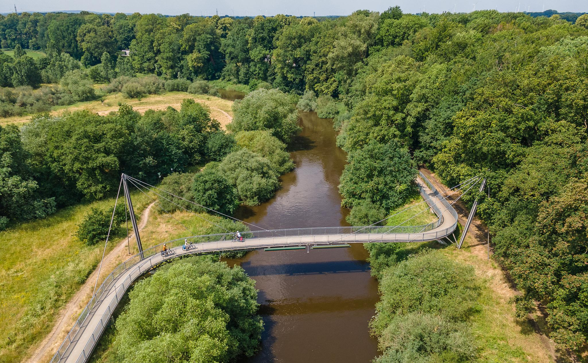
The Ems Cycle Route – in 7 stages from the Senne to the North Sea
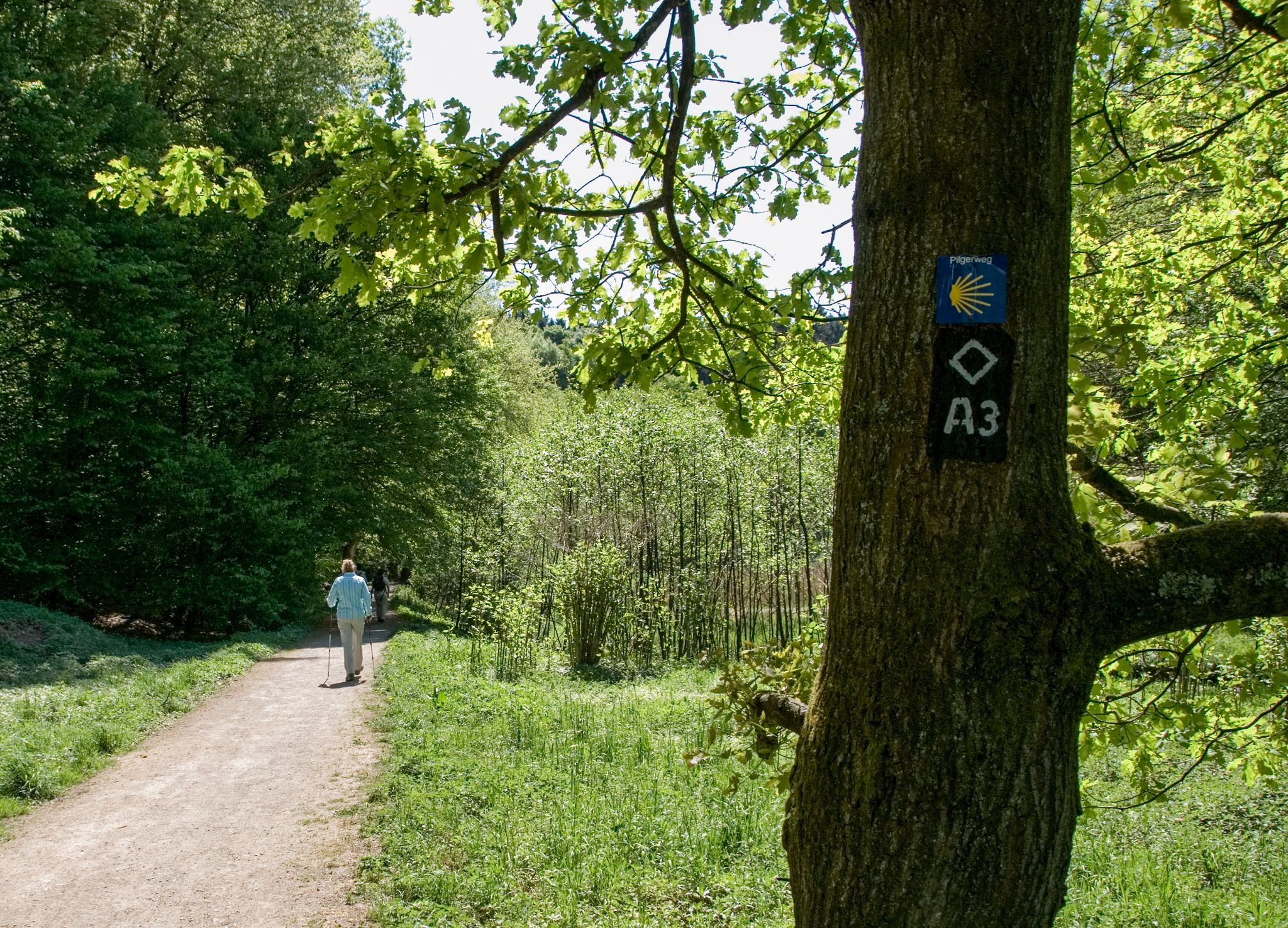
Westphalian Way of St. James – 9 days
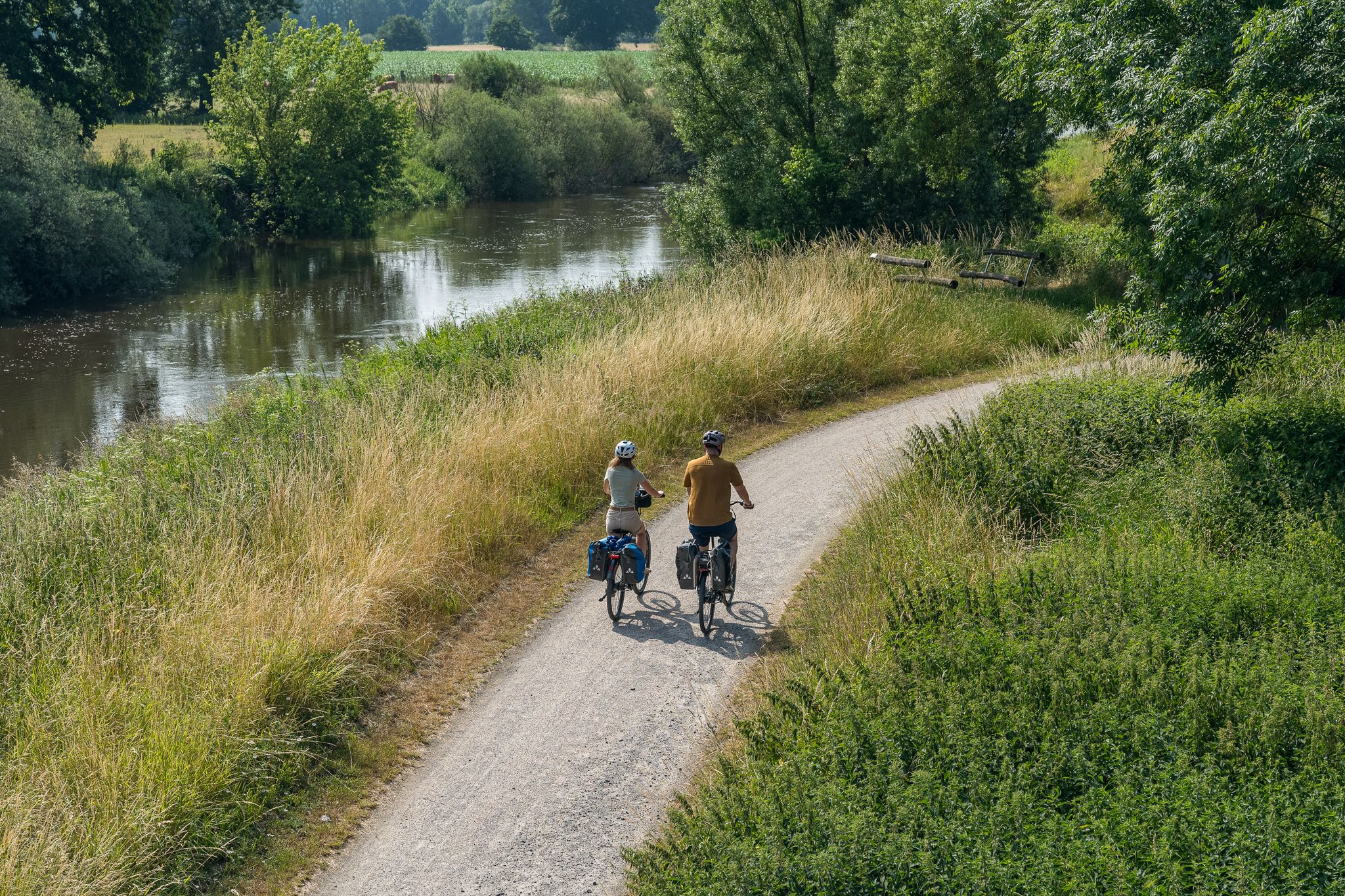
Saddle up – short bike rides around Emsdetten
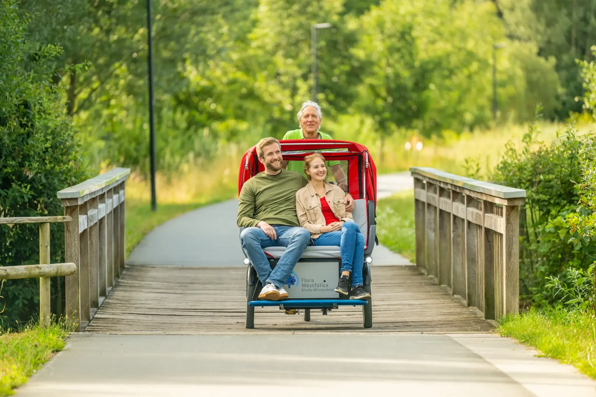
Historic Town Centres cycling route
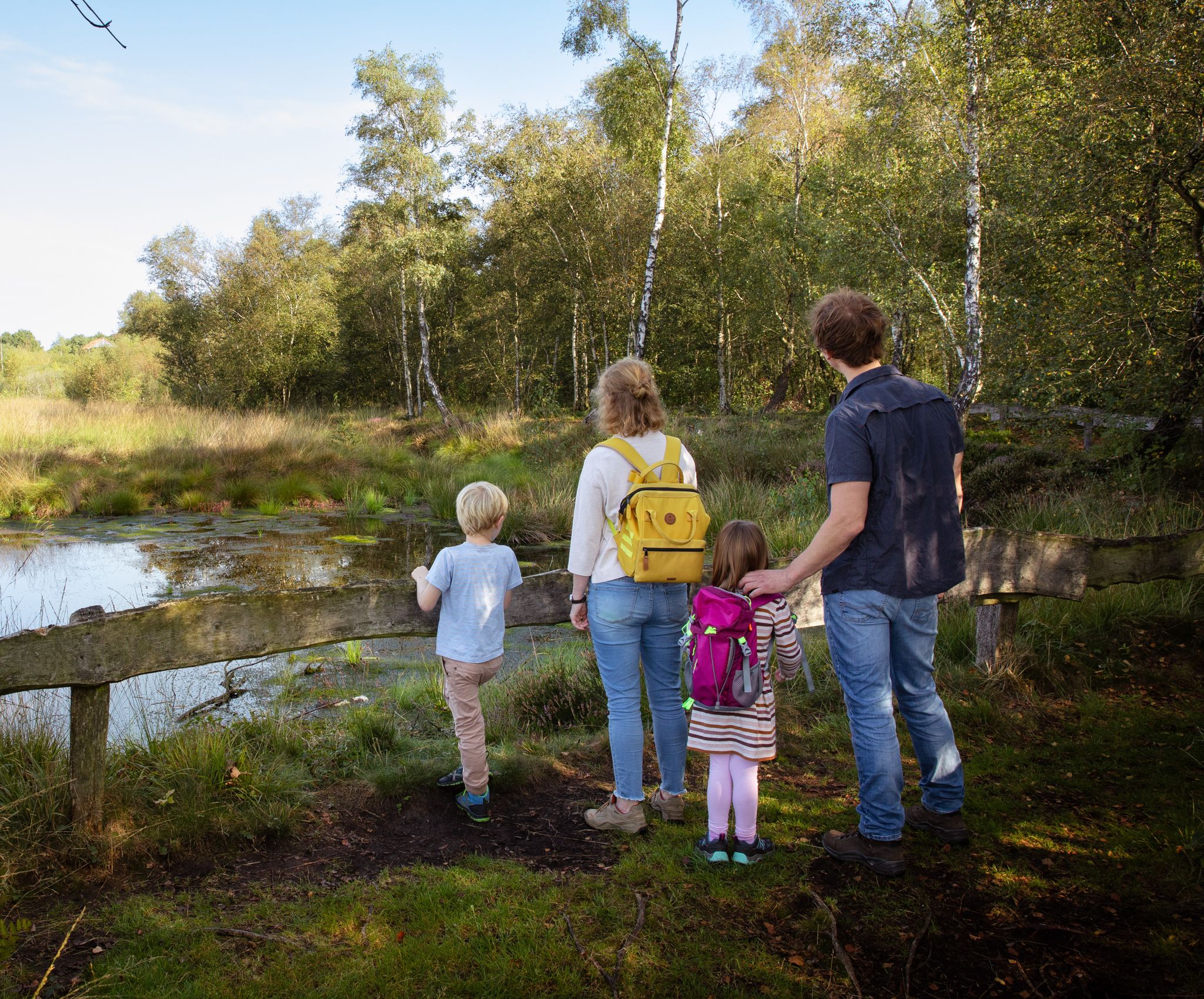
Let's go: on foot in Emsdetten
Other adventures around Kreis Steinfurt


Tips from the Community

Beautiful hike with great views
0
0

The climb from Iburger Straße to the radio relay station is paved and also doable by road bike. StatsHunters can also earn a tile here. Here you climb the highest elevation in the central part of the Teutoburg Forest and can enjoy beautiful views on the way to the summit (approx. 309 m). Some large patches in the asphalt require special caution on the descent.
0
0

The first section runs along a quiet country road surrounded by vineyards. After crossing the L96, the second section begins on a forest path that is car-free but has a poorer surface. Caution is advised, especially when descending. There are some beautiful views along the way. The route ends at the fence of the transmission tower.
1
0

Be sure to be there every year on October 3rd when the panoramic run leads from either Dickenberg or Steinbeck over the summit cross, with a summit drink! Walking or running - both are possible!
1
0

Beautiful view for every hiker.
2
0

A place steeped in history that is well suited for a short break.
4
0
Frequently Asked Questions
Which mountain peaks offer the best panoramic views in Kreis Steinfurt?
For magnificent panoramic views, consider visiting the View from Leedener Berg (Lusthäuschen pavilion), where you can see all the way to Osnabrück. The Westerbecker Berg also provides extensive long-distance views over the Münsterland and towards the Osnabrück region. Additionally, the Dörenther Klippen, particularly near the Hockendes Weib, offers sweeping vistas of the Münsterland, and the Schöppinger Berg provides views extending into the Netherlands.
What is the highest point in Kreis Steinfurt?
The highest point in Kreis Steinfurt is the Westerbecker Berg, reaching an elevation of 236 meters. It is located within the TERRA.vita Nature Park and offers rewarding views.
Are there family-friendly mountain peaks or trails in Kreis Steinfurt?
Yes, several areas are suitable for families. The Westerbecker Berg features an Alex-Schotte-Hütte with an info board and a listening station for children. The Shelter on the Huckberg and the View from Westerbecker Berg and Alex Schotte Hut are also noted as family-friendly highlights. The Dörenther Klippen area has an 'Almhütte' (alpine hut) near the Hockendes Weib, which can be a good stop for families.
What unique geological features can be found among the peaks of Kreis Steinfurt?
Kreis Steinfurt boasts several interesting geological formations. The Dörenther Klippen are famous for their bizarre sandstone cliffs, some reaching up to 40 meters, including the striking 'Hockendes Weib' formation. On the Huckberg, you can explore the 'Hexenhöhle' (Witches' Cave), known for its unique worm-like clay deposits. The slopes of Westerbecker Berg also reveal former limestone quarries, hinting at the area's industrial past.
Which peaks have historical significance in the region?
Many peaks in Kreis Steinfurt are rich in history. The Hermannsweg, a historical long-distance hiking trail, traverses both the Westerbecker Berg and the Leedener Berg. The 'Hockendes Weib' at Dörenther Klippen is tied to a local legend. Schöppinger Berg served as a Cold War missile site and features two monuments and two chapels. The Huckberg has a history of quarrying dating back to 1480.
What outdoor activities can I do near the mountain peaks in Kreis Steinfurt?
The region around Kreis Steinfurt offers a variety of outdoor activities. You can find numerous hiking trails, including the 'Teutoschleifchen' routes near Huckberg and the Dörenther Klippen. For more detailed hiking options, explore the Hiking around Kreis Steinfurt guide. Mountain biking is also popular, with challenging trails like those found in the MTB Trails around Kreis Steinfurt guide. Road cycling routes are also available, as detailed in the Road Cycling Routes around Kreis Steinfurt guide.
Are there any specific hiking trails or routes associated with these peaks?
Yes, several notable trails exist. The Hermannsweg long-distance hiking trail crosses both Westerbecker Berg and Leedener Berg. Near the Huckberg, you can find 'Teutoschleifchen' hiking routes, such as the 'Hexenhöhle am Huckberg' loop. The Dörenther Klippen area is crisscrossed by numerous hiking trails, including the popular Teutoschleife Dörenther Klippen. For a unique experience, consider the Stairs to the Summit Cross, which leads directly to a notable landmark.
What do visitors enjoy most about the mountain peaks in Kreis Steinfurt?
Visitors particularly enjoy the rewarding panoramic views, especially from spots like the View from Leedener Berg (Lusthäuschen pavilion) and the Rudolfschacht Spoil Tip Viewpoint. The unique geological formations, such as the Dörenther Klippen, and the historical routes like the Hermannsweg are also highly appreciated. The komoot community has shared over 180 photos and given more than 620 upvotes to highlights in the area, indicating a strong appreciation for the natural beauty and diverse experiences.
Can I find places to rest or get refreshments near the peaks?
Yes, there are options for rest and refreshments. On Westerbecker Berg, you'll find a refuge and the Alex-Schotte-Hütte. Near the Hockendes Weib within the Dörenther Klippen, an 'Almhütte' (alpine hut) offers refreshments and a viewing platform. Additionally, the Shelter on the Huckberg provides a place to rest.
Are there any climbing opportunities in the Kreis Steinfurt peaks?
For those interested in climbing, the Dörenther Klippen area offers specific opportunities. Climbing courses are available at Dreikaiserstuhl, another prominent rock formation within the Dörenther Klippen, providing an adventurous option for visitors.
What is the Schöppinger Berg known for?
The Schöppinger Berg is the highest elevation in the Westmünsterland, offering excellent long-distance views that can even extend into the Netherlands. Beyond its natural beauty, it has historical significance as a former Cold War missile site. It also features a telecommunications tower with a publicly accessible viewing platform, two monuments, and two chapels. The source of the Leerbach, a significant natural monument, is located at its foot.
What is the significance of the 'Hockendes Weib' at Dörenther Klippen?
The 'Hockendes Weib' (Crouching Woman) is a striking sandstone rock formation within the Dörenther Klippen. It is named after a local legend where a mother was turned to stone while protecting her children from floods. This formation is a central feature of the Dörenther Klippen, which is a 4-kilometer-long natural reserve known for its unique geological landscape.
Most popular routes around Kreis Steinfurt
Most popular attractions around Kreis Steinfurt

Get inspired with the komoot mobile app


Didn’t find what you were looking for?
Discover Kreis Steinfurt’s best peaks and summits by region:
Explore more
See even more amazing summits around Kreis Steinfurt with these guides:
