The best walks and hikes around Aspen Hill
4.9
(42)
412
hikers
42
hikes
Hiking around Aspen Hill, Maryland, offers access to a network of trails within a suburban area characterized by green spaces and wooded terrain. The region features rolling hills and is situated near the Potomac River, providing varied natural landscapes. Numerous parks contribute to a "green and wooded" feel, offering opportunities for outdoor activities. The area's natural features include lakes such as Lake Needwood, Lake Bernard Frank, and Pine Lake, along with stream valleys and diverse forests.
Best hiking trails around Aspen Hill
- The most popular hiking route is Lake Needwood loop — Rock Creek Regional Park, a 2.6 miles (4.2 km) trail that takes 1 hour 5 minutes to complete. This easy loop circles Lake Needwood, offering waterside views.
- Another top favourite among local hikers is Lake Bernard Frank loop — Rock Creek Regional Park, an easy 4.4 miles (7.1 km) path. This route provides a longer circuit around Lake Bernard Frank, traversing wooded areas.
- Local hikers also love the Japanese Tea House & Pine Lake loop — Wheaton Regional Park, a 2.9 miles (4.6 km) trail leading through parkland and around Pine Lake, often completed in about 1 hour 13 minutes.
- Hiking around Aspen Hill is defined by rolling hills, green spaces, and wooded park trails, often featuring lakes and stream valleys. The network offers options for easy and moderate ability levels.
- The routes in Aspen Hill are highly rated by the komoot community with an average score of 4.7 stars from over 30 reviews. More than 300 hikers have used komoot to explore Aspen Hill's varied terrain.
Last updated: June 23, 2026
4
hikers
4.61km
01:13
30m
40m
The Underground Railroad Experience Trail offers a unique blend of natural beauty and profound historical significance, guiding you through varied landscapes of dense woods and open fields, including corn fields. You'll encounter natural surfaces, from bare dirt to gravel, and pass by historical landmarks like the historic Sandy Spring and an impressive 300-year-old white ash tree, which add depth to the journey.
This easy hiking route is approximately 2.9 miles (4.6 km) long with a gentle 110 feet (34 metres) of elevation gain, taking about 1 hour and 12 minutes to complete. Located at Woodlawn Manor Cultural Park in Sandy Spring, Maryland, parking is readily available. Be prepared for potentially muddy conditions after rain and unshaded sections in open fields, especially on sunny days.
What truly sets this trail apart is its purpose as an "experience trail," designed to immerse hikers in the context of the Underground Railroad. Informational signs along the route provide crucial historical context, making it a powerful and active way to engage with a significant chapter of American history, even though the specific property was not directly involved in the 19th-century Underground Railroad.
11.6km
03:02
80m
110m
The Matthew Henson Trail offers a delightful journey through Montgomery County's varied landscapes, making it one of the more popular trails for a relaxed outing. You'll traverse an 8-foot-wide paved surface, but the real charm lies in the extensive wooden boardwalks that gently carry you above delicate natural areas and the forest floor. Following Turkey Branch Stream for its lower half, the 7.2-mile (11.6 km) route, with its moderate 264 feet (80 metres) of elevation gain, feels secluded despite passing through residential areas, providing a peaceful escape that typically takes around 3 hours and 2 minutes.
Planning your visit is straightforward, as the trail is generally considered easy and is very accessible, making it an excellent choice for families. It connects directly with the Rock Creek Hiker-Biker Trail, opening up possibilities for longer excursions into Rock Creek Park. While the trail is equipped with solar-powered emergency cellular phones for safety, be mindful of major road crossings. The fall season is particularly recommended for its stunning natural features and vibrant foliage.
This trail is named in honor of Matthew Henson, a Maryland native and celebrated Arctic explorer, adding a layer of historical significance to your outdoor adventure. Its extensive system of wooden boardwalks is a unique feature, designed to protect the sensitive ecosystems it traverses. As part of a larger regional network, it serves as a vital green corridor, offering accessible trails and a tranquil environment for wildlife spotting and enjoying nature close to urban areas.

Sign up for free
2.17km
00:33
10m
10m
The Needwood Trail offers a delightful, easy hike through Montgomery County's Rock Creek Regional Park, providing continuous views of the serene Lake Needwood. You'll wander through picturesque deciduous woodlands, with the path changing from natural footpaths to gravel and even some asphalt sections. This 1.3-mile (2.2 km) route has a minimal 38 feet (12 metres) of elevation gain and can be completed in about 33 minutes, making it an ideal, accessible outing for all skill levels.
Accessing the trail is simple, with several parking areas available near Lake Needwood. The park also provides amenities like picnic spots and a visitor's center with a snack bar, perfect for a relaxed day out. While enjoyable year-round, the trail truly shines in autumn when the surrounding trees burst into vibrant fall colors, offering a particularly scenic experience.
This trail is part of a larger network within Rock Creek Regional Park, connecting to other paths like the Westside Trail and the Rock Creek Hiker-Biker Trail. The area is rich in wildlife, so keep an eye out for geese, deer, and even beavers. Lake Needwood itself is a 75-acre reservoir, providing a tranquil backdrop and opportunities for boating if you wish to extend your visit beyond the hike.
3.10km
00:49
20m
20m
This easy 1.9-mile (3.1 km) section of the Rock Creek Trail in Montgomery County offers a refreshing escape into nature, even within its urban surroundings. You'll wander through serene woodlands, shaded by towering oaks and maples, with the sweet scent of mountain laurel in the air. The path itself is a gentle mix of paved and dirt-and-gravel sections, following the Rock Creek valley and crossing the water multiple times, making for a pleasant 48-minute outing with just 80 feet (24 metres) of elevation gain.
Planning your visit is straightforward, as this trail is well-equipped for hikers. Amenities like drinking water and restrooms are available at various points along the broader Rock Creek Hiker-Biker Trail system. If you prefer a car-free experience, consider visiting on weekends or holidays when Beach Drive is closed to vehicles, creating a more relaxed atmosphere for walkers. Parking is generally accessible, but an early start is recommended to avoid crowds.
This trail is part of an extensive network that blends natural beauty with urban convenience, offering a chance to spot eastern gray squirrels, white-tailed deer, and various bird species. Its blend of easy terrain and natural scenery makes it a popular choice for families and beginners, providing a quick dose of tranquility without venturing far from the city.
39.4km
10:24
330m
400m
The MDBR 200 is a formidable hiking route designed for those who crave a significant physical challenge. This difficult trail covers an impressive 24.5 miles (39.4 km) and includes 1077 feet (328 metres) of elevation gain, making it a true test of endurance. You can expect to spend around 10 hours and 23 minutes on your feet, traversing varied terrain that includes sections like the Little Paint Branch Trail. It's a journey that demands preparation and a strong hiking background.
When planning your MDBR 200 adventure, be aware that specific logistical details are not widely published. It's crucial to research current trail conditions and potential access points in the Montgomery County, Maryland area before setting out. Always pack sufficient water, navigation tools, and emergency supplies for such a long and strenuous hike, as facilities along the route may be sparse or nonexistent.
Given the scarcity of public information about the MDBR 200, it appears to be a less-traveled or perhaps locally known route within the Olney region of Maryland. This could appeal to hikers seeking solitude and a raw, unvarnished outdoor experience away from more popular trails. Its challenging nature and considerable length position it as a serious undertaking for dedicated long-distance hikers.
Get access to more routes and recommendations from other explorers.
Sign up for free
Already have an account?
Our route recommendations are based on thousands of hikes, rides, and runs completed by other people on komoot.
Start today with a free account
Your next adventure awaits.
Login or Signup
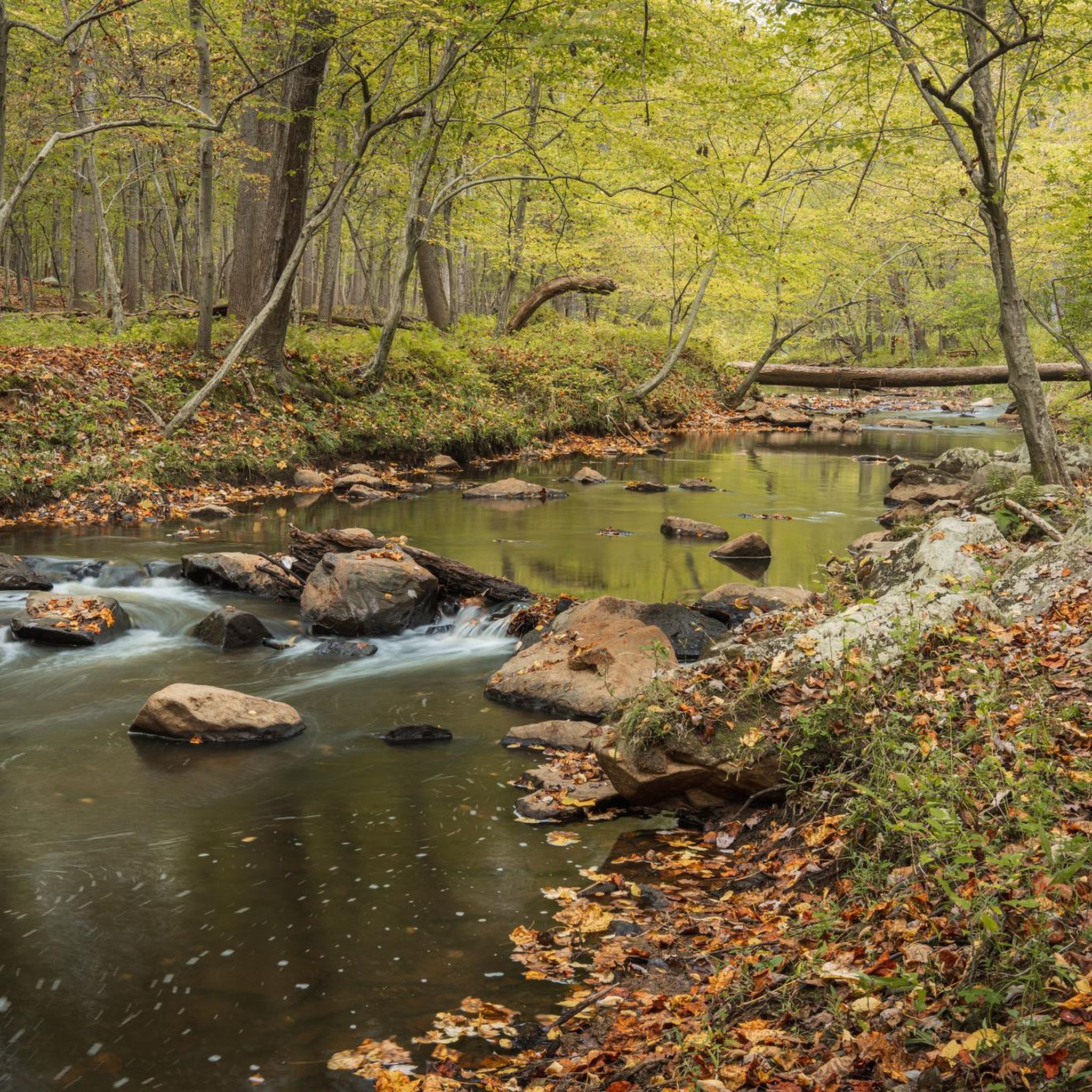

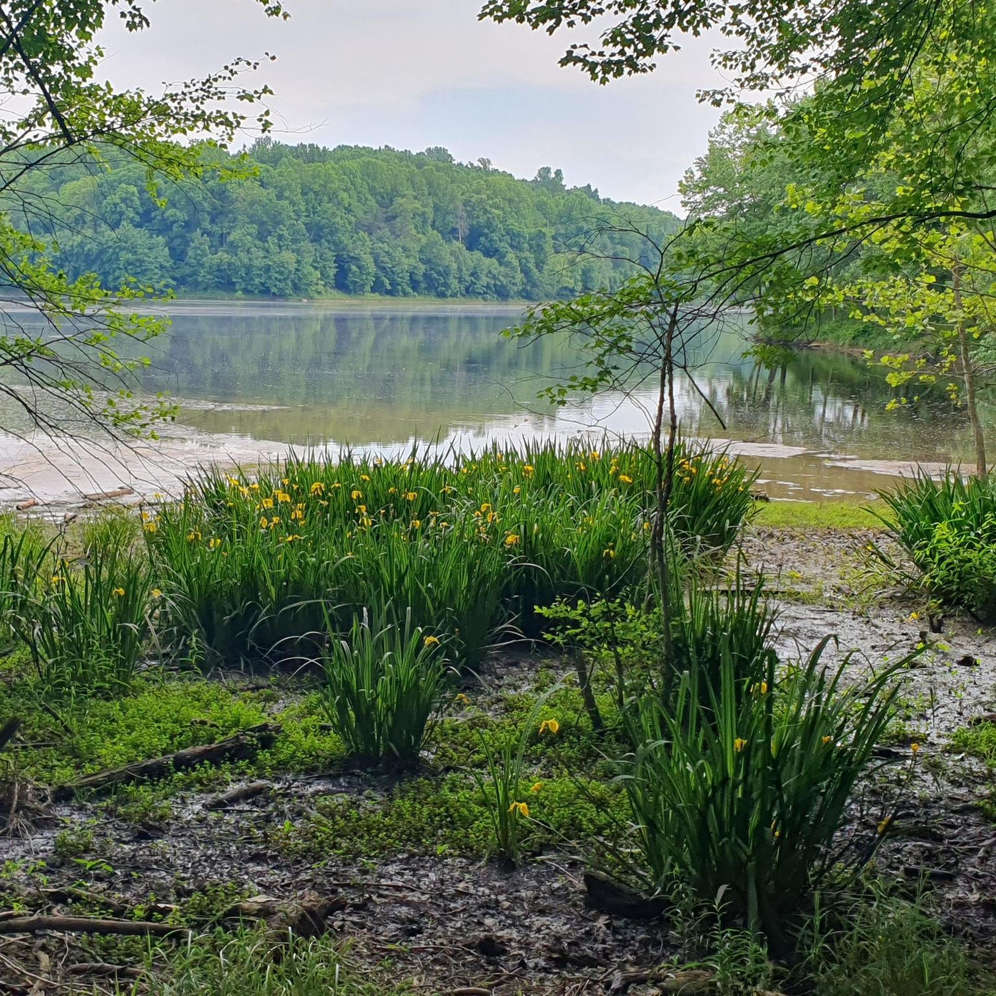
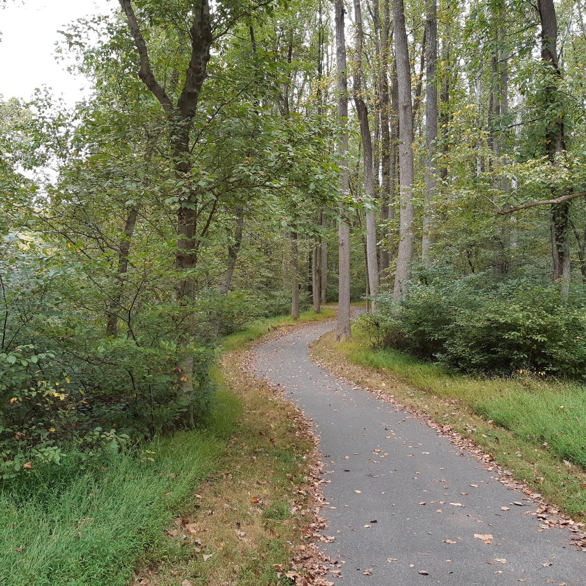

Tips from the Community

Lake Needwood is a beautiful 75-acre lake at the start of the Rock Creek Trail. The lake is popular with boaters, swimmers and fishermen. It is a great place for a break on your ride to take a dip to cool down.
1
0

Top of the Rock Creek Trail, it is all downhill into DC from here.
0
0
Frequently Asked Questions
How many hiking trails are available in the Aspen Hill area?
There are over 20 hiking routes around Aspen Hill, offering a variety of experiences. The majority of these, about 20, are considered easy, with a few moderate options available for those seeking a bit more challenge.
What kind of terrain can I expect on Aspen Hill hiking trails?
Hiking in Aspen Hill features a mix of rolling hills, green spaces, and wooded park trails. You'll often find routes that include lakes and stream valleys, contributing to the area's "green and wooded" feel. Some trails, like the Matthew Henson State Park Trail, are paved, offering smooth surfaces suitable for various activities.
Are there any family-friendly hiking options in Aspen Hill?
Yes, Aspen Hill offers several family-friendly trails, mostly categorized as easy. These routes are generally shorter with minimal elevation gain, making them suitable for all ages. For example, the Lake Needwood loop — Rock Creek Regional Park is an easy 2.6-mile path with waterside views, perfect for a family outing.
Are dogs allowed on hiking trails in Aspen Hill?
Many parks and trails in the Aspen Hill area are dog-friendly, but it's always recommended to check specific park regulations regarding leash laws. Generally, dogs are welcome as long as they are kept on a leash and owners clean up after them.
What are some notable natural features or landmarks I can see along the trails?
The trails often lead through scenic natural areas. You can explore various lakes such as Lake Needwood, Lake Bernard Frank, and Pine Lake. Wheaton Regional Park also features a Japanese Tea House, which is part of the Japanese Tea House & Pine Lake loop.
What is the best time of year to go hiking in Aspen Hill?
Aspen Hill experiences a humid subtropical climate with four distinct seasons, making it pleasant for outdoor activities year-round. Spring and autumn offer particularly beautiful scenery with blooming flora and colorful foliage, respectively. Winters are generally mild, allowing for comfortable hiking conditions.
Are there any circular hiking routes in Aspen Hill?
Yes, several popular routes in Aspen Hill are circular, allowing you to start and end at the same point. Examples include the Lake Needwood loop and the Lake Bernard Frank loop, both within Rock Creek Regional Park, offering convenient exploration.
What do other hikers enjoy most about hiking in Aspen Hill?
The hiking trails around Aspen Hill are highly rated by the komoot community, with an average score of 4.7 stars from over 30 reviews. Hikers often praise the well-maintained paths, the peaceful wooded environments, and the accessibility of these green spaces within a suburban setting.
Is parking available at the trailheads in Aspen Hill?
Most major parks and trailheads in the Aspen Hill area, such as those in Rock Creek Regional Park and Wheaton Regional Park, offer designated parking facilities. It's advisable to check specific park websites for detailed parking information and any potential fees.
Are there any trails with significant elevation gain for a more challenging hike?
While Aspen Hill is characterized by rolling hills, the majority of its trails are considered easy with moderate elevation changes. For example, the Rockville Civic Center Park loop has an elevation gain of about 61 meters, offering a slightly more varied ascent compared to flatter lake loops.
Are there any cafes or pubs near the hiking trails in Aspen Hill?
Aspen Hill is a suburban area with commercial centers nearby. While specific cafes or pubs might not be directly at every trailhead, you'll find various dining options within a short drive from the major parks and trail access points.
Can I access Aspen Hill hiking trails using public transport?
Aspen Hill is served by local public transport options, primarily buses, which can provide access to certain parks and trailheads. For specific routes and schedules, it's best to consult the local transit authority's website to plan your journey to a particular starting point.
Most popular attractions around Aspen Hill

Get inspired with the komoot mobile app


Explore more
Browse the best Hikes in other regions.
