The best walks and hikes around Sanford
5.0
(1)
17
hikers
12
hikes
Hikes around Sanford, Maine, lead through a variety of preserved natural landscapes. The region is characterized by woodlands, conservation areas, and low mountains like Bauneg Beg Mountain. The trail network offers a mix of easy and moderate routes suitable for different fitness levels.
Best hiking trails around Sanford
- The most popular hiking route is Orris Falls and Balancing Rock loop — Orris Falls Conservation Area — South Berwick, a 3.4 mile (5.5 km) trail that takes around 1 hour 25 minutes to complete. This easy hike explores the Orris Falls Conservation Area.
- Another top favourite among local hiking enthusiasts is Bauneg Beg Mountain loop via the Bauneg Beg Trail — North Berwick, an easy 1.5 mile (2.4 km) path. The route involves a gradual ascent up Bauneg Beg Mountain.
- Local hiking enthusiasts also love the Alewive Woods Preserve loop — Kennebunk, a 1.9 mile (3.0 km) trail leading through the Alewive Woods Preserve, often completed in about 50 minutes.
- Hiking around Sanford is defined by woodland preserves, conservation areas, and gentle mountain trails. The network of paths provides options for both short, easy walks and slightly more challenging moderate hikes.
- The routes in Sanford are highly rated by the komoot community with an average score of 5.0 stars from more than 1 review. More than 10 hikers have used komoot to explore Sanford's varied terrain.
Last updated: May 12, 2026
1
hikers
7.33km
01:53
40m
40m
Embark on an easy hike along the Sanford-Springvale Rail Trail, a route that guides you through diverse landscapes of forests, wetlands, and open fields. You will cover 4.6 miles (7.3 km) with a gentle elevation gain of just 123 feet (38 metres), making it a perfect choice for a relaxed outing. Expect to spend around 1 hours and 53 minutes enjoying the scenery, including the tranquil Deering Pond, a popular spot for fishing. Further along, near the McKeon Environmental Reserve, you will find pleasant views of wetlands and a charming bridge.
The Sanford-Springvale Rail Trail is open for enjoyment throughout the year, with its graded dirt and gravel surface accommodating all four seasons. You can easily access the trail, as general parking is available for visitors. Plan your visit knowing that a new accessible 0.5-mile section from the Oak Street trailhead to a picnic area is expected to open in Fall 2025, enhancing accessibility for many.
This rail trail offers more than just a path; it provides a glimpse into the local environment, with its varied terrain supporting different ecosystems. The presence of Deering Pond adds a unique natural element, rumored to hold a sunken railroad car, sparking local interest. The trail's design as a converted railway line ensures a relatively flat and consistent grade, ideal for those seeking a straightforward outdoor experience.
1
hikers
3.13km
00:48
10m
10m
The Littlefield Trail Loop offers an easy hike through the serene Massabesic Experimental Forest. You will find yourself winding through peaceful wooded areas, crossing charming gurgling brooks, and walking beneath towering giant pines in a mature forest section. This route covers 1.9 miles (3.1 km) with a gentle elevation gain of 48 feet (15 metres), making it a perfect choice for a quick outdoor adventure that takes about 48 minutes.
Planning your visit to the Littlefield Trail Loop is straightforward, as the path is well-defined and easy to follow. The trail's gentle terrain and minimal elevation gain make it suitable for hikers of varying experience levels, including families looking for an accessible outing. You can also bring your furry companion along, as dogs are permitted on this loop.
This trail is a wonderful introduction to the natural beauty of the Massabesic Experimental Forest, offering a quiet escape into nature. The path, mostly made of dirt and some gravel, provides a pleasant stroll, especially beautiful at dawn or dusk when the light filters softly through the trees. It is a great option if you are seeking a tranquil experience without a strenuous climb.

Sign up for free
5.0
(1)
5
hikers
5.50km
01:28
60m
60m
Embark on the Orris Falls and Balancing Rock Loop for an easy hike covering 3.4 miles (5.5 km) with a gentle elevation gain of 185 feet (56 metres). This route offers a pleasant outdoor experience, taking approximately 1 hours and 27 minutes to complete. You will wander through diverse forests and discover the impressive Orris Falls, a 12-foot waterfall that truly comes alive after a good rain. Keep an eye out for the unique Balancing Rock, a large glacial erratic that stands out in the landscape.
When planning your visit, you will find general parking available at the trailhead, making access straightforward. Dogs are welcome on the trails, but please remember to keep them leashed in certain areas and under control. This helps protect local wildlife and ensures a safe experience for everyone. Always check local regulations before you go, especially regarding specific leash requirements.
The trail winds through a 90-foot gorge at Orris Falls, showcasing the area's natural beauty. Beyond the geological wonders, you will also encounter historical stone foundations along the way, offering a glimpse into the region's past. The route features old-growth white pines, adding to the serene atmosphere and making it a notable spot for nature lovers.
6
hikers
2.38km
00:41
60m
60m
Embark on the North Peak Loop, an easy hiking route that guides you through the Bauneg Beg Mountain Conservation Area. This short loop covers 1.5 miles (2.4 km) and involves a gentle elevation gain of 208 feet (64 metres), making it perfect for a quick outdoor escape. You can expect a pleasant walk through natural surroundings, leading you towards a lookout point on Bauneg Beg Mountain. From there, you might enjoy views of the conservation area, a rewarding sight for such an accessible hike. The entire journey typically takes around 41 minutes to complete.
Planning your visit to the North Peak Loop is straightforward. The trailhead offers available parking, ensuring easy access for hikers. There are no specific permits or fees mentioned for this area, which simplifies your preparations. This trail is generally accessible, making it a convenient option for a spontaneous outing. Consider visiting during daylight hours to fully appreciate the natural scenery and views from the summit.
The North Peak Loop stands out as a great option for those seeking a brief yet refreshing experience in nature. Its location within the Bauneg Beg Mountain Conservation Area highlights a commitment to preserving natural spaces. The trail's easy difficulty makes it suitable for a wide range of hikers, including families or those looking for a leisurely stroll. It provides a valuable opportunity to connect with the local environment without requiring a significant time commitment.
1
hikers
3.16km
00:49
10m
10m
Embark on an easy hike along the Shaker Woods Reserve Trail, a peaceful route that stretches 2.0 miles (3.2 km) and involves a gentle elevation gain of just 41 feet (12 metres). You can expect to complete this tranquil journey in about 48 minutes. As you follow the path, you will wind through a quiet pine forest, where a boardwalk guides you over swampy wetlands. The trail offers a lush wooded environment, running alongside Hay Brook and the Middle Branch of the Mousam River. This makes for a serene outdoor experience, perfect for a relaxing stroll.
When planning your visit to Shaker Woods Reserve Trail, remember that the route is accessible from dawn until dusk. The trail is designated for foot traffic only, ensuring a quiet experience for hikers. If you wish to bring your canine companion, leashed dogs are permitted on the path. You will generally find parking available directly at the trailhead, making access straightforward for your outing.
This trail provides a wonderful opportunity to immerse yourself in the natural surroundings of Alfred, Maine. As you explore, keep an eye out for local wildlife such as deer tracks, and listen for the sounds of songbirds, red squirrels, and chipmunks. The Shaker Woods Reserve offers a glimpse into a preserved natural habitat, highlighting the area's diverse flora and fauna along its gentle course.
Get access to more routes and recommendations from other explorers.
Sign up for free
Already have an account?
Our route recommendations are based on thousands of hikes, rides, and runs completed by other people on komoot.
Start today with a free account
Your next adventure awaits.
Login or Signup
Popular around Sanford
Tips from the Community

Estimated to weigh over 70 tons, the Balancing Rock is a glacial erratic, meaning it was transported by glaciers during the last ice age. Let your imagination wander amidst this captivating wonder!
0
0

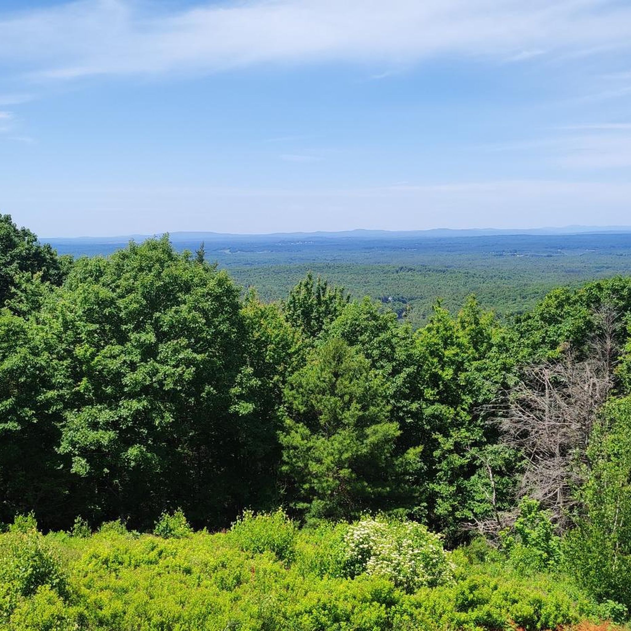
Bauneg Beg Mountain is a three-peaked mountain and a local gem. There are several well-marked trails to the middle summit, which is also known as Lookout. On clear days, this spot has expansive views westward towards New Hampshire; the view is better here than from North Peak. There are also boulders and rock formations by this summit that are fun to scramble on to find your own private place to enjoy the views and eat a snack.
0
0
Orris Falls is within a 90-ft. gorge in the Orris Falls Conservation Area. This 171-acre preserve has a little bit of everything; from overlooks with great views of Mt. Agamenticus, unique geological features like Balanced Rock, and the remains of the Littlefield homestead, which dates back to the 1800s, there's lots to see here as you make your way to, or continue onward from, the falls.
0
0

If you're visiting Orris Falls, this spot is not to miss! This rock is a glacial erratic, so be creative and take original pictures here!
1
0
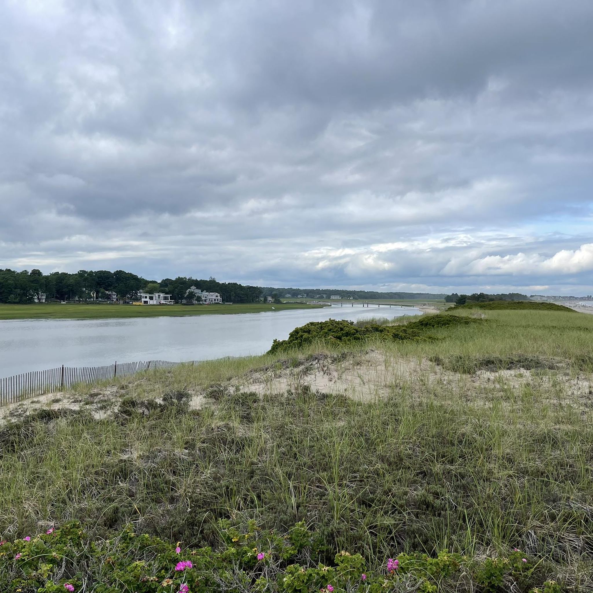
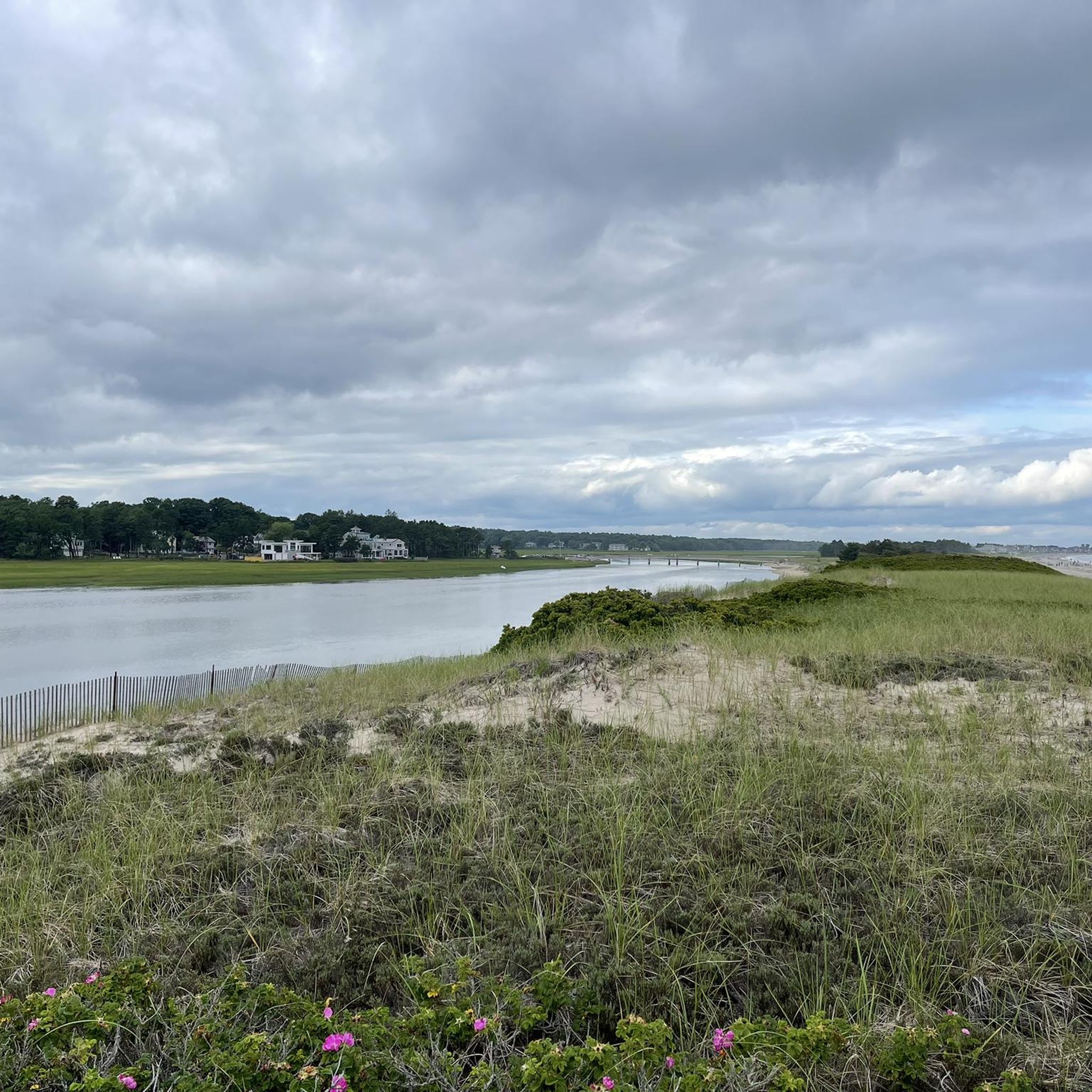
After passing near some backyards, you'll get to a quiet pathway through the woods. At this point you'll enjoy the view of Hay Brook and Mousam river.
1
0
Frequently Asked Questions
Are there many hiking trails to choose from around Sanford?
Yes, there are several trails available. The area features a mix of woodland preserves, conservation areas, and gentle mountain paths, offering a good variety for hikers. Most routes are rated as easy, with a few moderate options for those seeking a bit more of a challenge.
Are the hiking trails in the Sanford area dog-friendly?
Many trails in the region are welcoming to leashed dogs. For example, White Pines Nature Preserve is a popular spot for dog walkers. However, it's always a good practice to check the specific regulations for each park or preserve before you go.
Are there any easy, family-friendly hikes near Sanford?
Absolutely. The region is great for family outings. A good choice is the Shaker Woods Reserve loop. It's a relatively flat and short walk through the woods, making it accessible for hikers of all ages.
What are the hiking conditions like in Sanford?
The trails around Sanford primarily wind through woodlands and conservation areas. You can expect well-maintained paths, though some sections might have natural obstacles like tree roots. The terrain is generally gentle, with gradual ascents on routes that go up low mountains like Bauneg Beg.
Can I find any circular or loop trails?
Yes, many of the popular hikes in the area are loop trails, allowing you to enjoy a varied route without backtracking. The Kennebunk Plains Preserve loop is a great example of an easy circular walk through a unique landscape.
Are there any more challenging hikes available?
While most trails are easy, there are moderately challenging options. For a slightly more strenuous hike, consider the Alewive Woods Preserve loop. It offers a bit more of a workout while still being a manageable length for a day hike.
What do other hikers think of the trails around Sanford?
The hiking routes around Sanford are highly rated by the komoot community. Visitors often praise the peaceful woodlands and the variety of natural landscapes found within the region's different preserves and conservation areas.
Where can I find hikes with water views or features?
Several trails offer scenic water elements. The Orris Falls and Balancing Rock loop is a popular choice that features a waterfall within the Orris Falls Conservation Area.
What is a good hike for seeing local wildlife?
Many of the area's nature preserves offer good opportunities for wildlife spotting. Spring Hammock Preserve is known for its abundant wildlife and accessible trails. Keep an eye out for various bird species and other local fauna in the quiet woodland areas.
Where can I find a trail with a good viewpoint?
For a rewarding view, the Bauneg Beg Mountain loop is an excellent option. The gradual climb leads to the summit of Bauneg Beg Mountain, offering scenic vistas of the surrounding landscape.
Is there parking available at the trailheads?
Yes, trailheads for popular hiking areas like the Black Bear Wilderness Area and White Pines Nature Preserve typically have designated parking areas. It's a good idea to arrive earlier on weekends, as these spots can be popular with local hikers.
Most popular attractions around Sanford

Get inspired with the komoot mobile app


Explore more
Browse the best Hikes in other regions.
