The best running trails around Kattemeuterbos
4.4
(434)
28,920
runners
718
runs
Jogging around Kattemeuterbos offers diverse natural features, including heathlands, dense pine forests, and sandy soils. The terrain provides a varied running experience with noticeable valleys and elevated plateaus. This area is part of the Hoge Kempen National Park, featuring ecosystems that include both coniferous and mixed deciduous forests. The landscape offers a stimulating environment for runners of all levels.
Best jogging routes around Kattemeuterbos
- The most popular jogging route is Running loop from Eppegem, a 2.9 miles (4.7 km)…
Last updated: August 13, 2026
14
runners
4.73km
00:29
10m
10m
Easy run. Great for any fitness level. Mostly paved surfaces. Suitable for all skill levels.
52
runners
11.0km
01:10
20m
20m
Moderate run. Good fitness required. Mostly paved surfaces. Suitable for all skill levels.

Sign up for free
37
runners
Moderate run. Good fitness required. Mostly paved surfaces. Suitable for all skill levels.
12
runners
5.04km
00:31
10m
10m
Moderate run. Good fitness required. Mostly paved surfaces. Suitable for all skill levels.
13
runners
5.22km
00:32
10m
10m
Moderate run. Good fitness required. Mostly paved surfaces. Suitable for all skill levels.
Get access to more routes and recommendations from other explorers.
Sign up for free
Already have an account?
Our route recommendations are based on thousands of hikes, rides, and runs completed by other people on komoot.
Start today with a free account
Your next adventure awaits.
Login or Signup
Tips from the Community

Straight, fast canal strip along the Brussels–Scheldt Sea Canal, with wide sightlines and a smooth asphalt profile. The path runs parallel to the water, forming a clearly recognizable corridor between Humbeek and Vilvoorde. The industrial elements along the canal — bridges, locks, towers — give the route a distinctly linear character.
7
0
The Humbeek-Sas lift bridge is a classic metal lift bridge that spans the Brussels–Scheldt Sea Canal in Humbeek, a sub-municipality of Grimbergen. Built in 1968, it is one of three identical lift bridges on the canal, along with: Brielen Bridge (Tisselt) Verbrande Bridge (Grimbergen) All three share the same dimensions: 38.4 m long and 11.6 m wide.
6
0

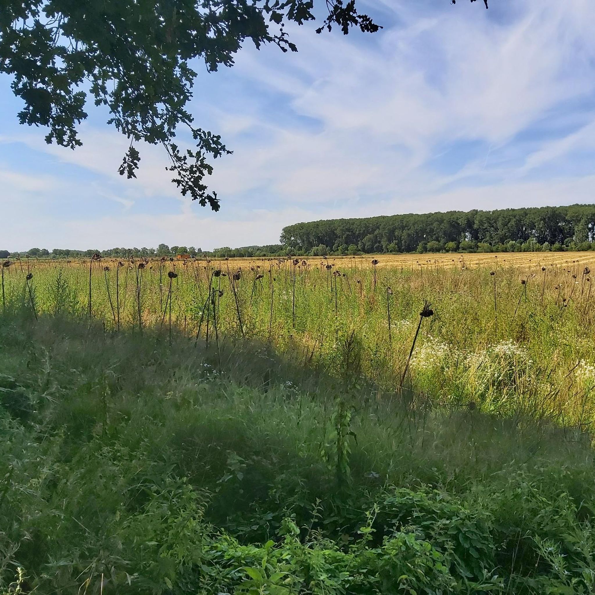
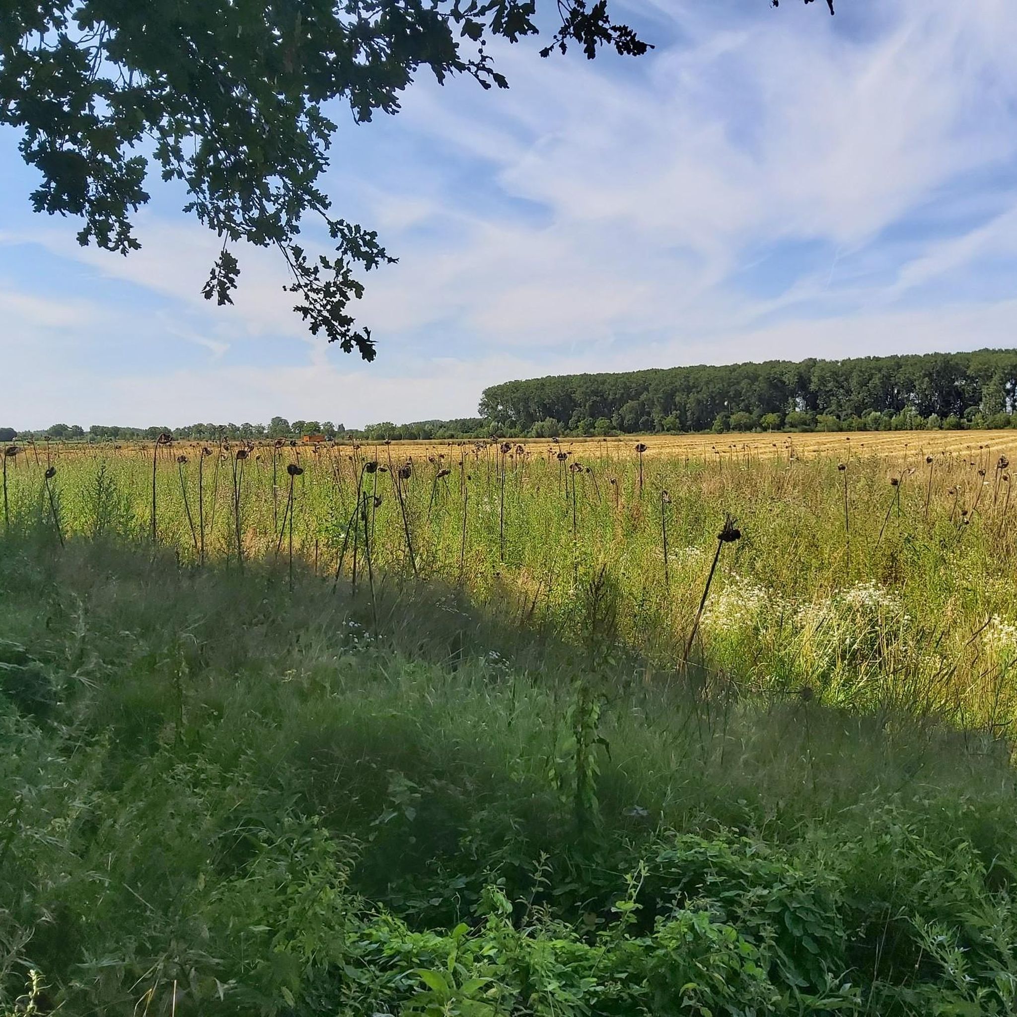
This is a pleasant and flat route through the heart of Flanders This path offers a peaceful and picturesque environment. You will pass vast fields, picturesque villages and industrial zones.
2
0
A typical Flemish country road, wonderful to cycle here.
0
0
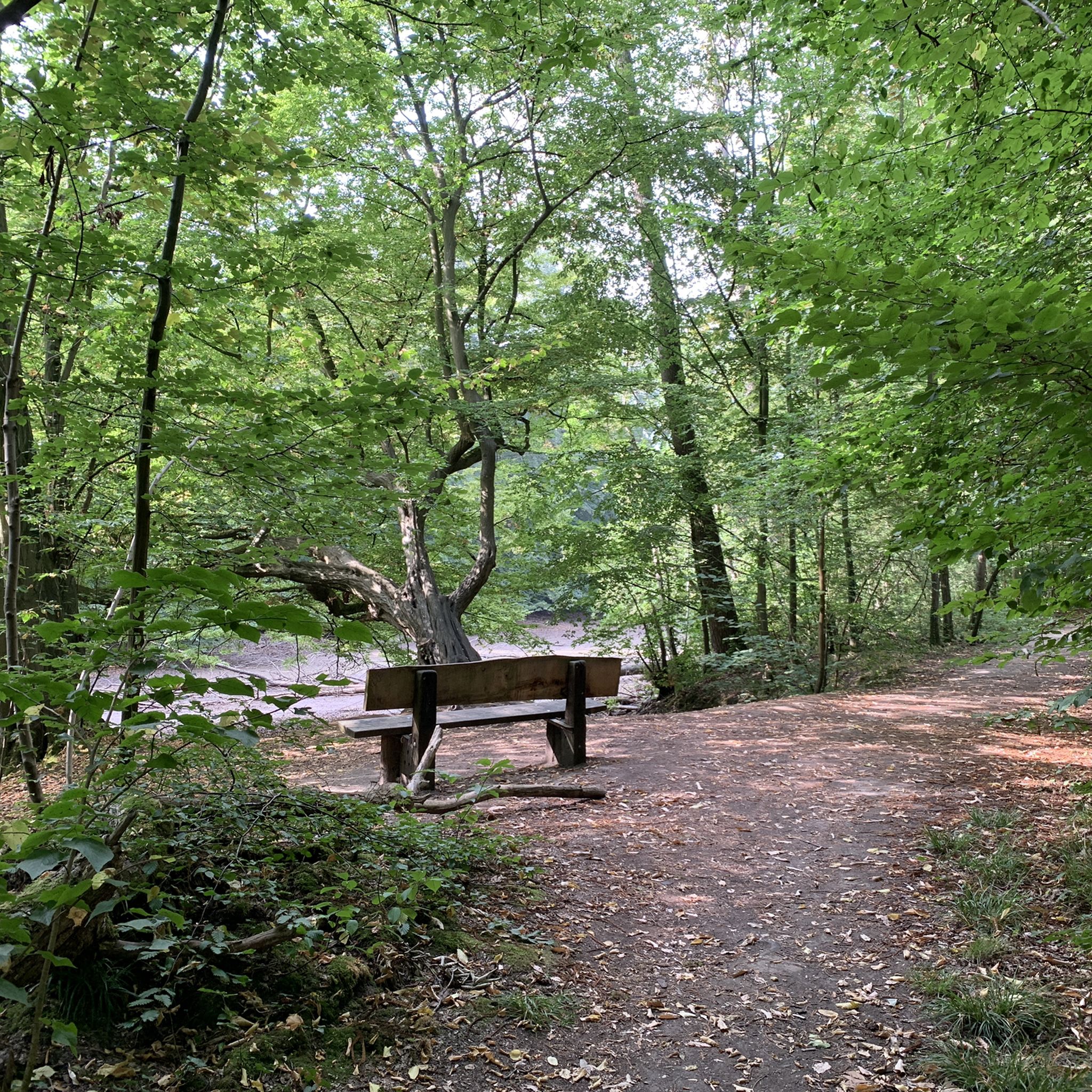
It is wonderful to cycle through the forest here.
0
0

This lane is very old. The Counts' Castle is depicted for the first time in Jacob Harrewijn's etching (1694). The water castle is currently accessible via a lane from Warandestraat, but the main access with a long, straight and double floating structure departs from the Brussels-Rupel canal. This canal, formerly known as Bruesselsche Schipvaert or Willebroekse Vaart, was dug between 1553 and 1561. This wide avenue between the canal and the castle complex does not end at the bridge and the gatehouse, but for an unknown reason just next to it. (Immovable Heritage Inventory)
12
0
Lourdes Grotto and Stations of the Cross with calvary located in the Gravenbos, north of the Sas or Kasteeldreef in Humbeek. Monumental Lourdes Grotto with altar and Marianis in typical rocky view. Preceded by benches and a concrete shelter with imitation tree trunks as pillars and accessible via a metal pipe gate with the letters "A" and "M" (Ave Maria). (Immovable Heritage Inventory)
13
0
The indicated place does not correspond to the location of the Verbande Bridge. This is the Hefbrug Humbeek Sas. It is a lift bridge over the Brussels-Scheldt Sea Canal in Humbeek, a sub-municipality of Grimbergen. The bridge was built in 1968 and has a metal movable part with a length of 38.4 m and a width of 11.6 m. The bridge is identical in dimensions to the Brielenbrug in Tisselt (Willebroek) and the Verbrande Brug in Grimbergen which were built in the same year. (Wikipedia)
11
0
Frequently Asked Questions
How many running routes are available in and around Kattemeuterbos?
Kattemeuterbos offers a wide selection of running opportunities, with over 600 routes available on komoot. These range from easy paths suitable for beginners to more challenging trails for experienced runners.
What kind of terrain can I expect on the jogging trails in Kattemeuterbos?
The jogging trails in Kattemeuterbos feature a diverse landscape, including unique heathlands, dense pine forests, and sandy soils. You'll encounter a mix of flat sections and gentle elevation changes, with noticeable valleys and elevated plateaus, providing a dynamic running experience. The area is part of the Hoge Kempen National Park, known for its varied ecosystems.
Are there any easy or beginner-friendly running routes in Kattemeuterbos?
Yes, Kattemeuterbos has numerous easy routes perfect for beginners or those looking for a relaxed run. For example, the Running loop from Eppegem is an easy 4.7 km (2.9 miles) trail that takes about 29 minutes to complete, offering a gentle introduction to the local paths.
Can I bring my dog on the running trails in Kattemeuterbos?
Many trails within the Hoge Kempen National Park, which includes Kattemeuterbos, are dog-friendly. However, it's always recommended to keep your dog on a leash to protect local wildlife and ensure a pleasant experience for all visitors. Look for specific signage on individual trails regarding dog regulations.
What are some interesting landmarks or viewpoints I can see while running in Kattemeuterbos?
While running in the broader Kattevennen area, you can visit the Bliksemtrap Watchtower, which offers breathtaking panoramic views of the Hoge Kempen National Park from its 37-meter height. This provides a unique perspective of the diverse landscapes you're exploring. The area also features educational walks like the 'planets path' and 'stone path'.
Are there any circular running routes in Kattemeuterbos?
Yes, many of the running routes in Kattemeuterbos are designed as loops, offering convenient circular paths. Examples include the popular Running loop from Spilt, a moderate 7.5 km route, and the Running loop from Humbeek, a 5.0 km trail through forests and open areas.
What do other runners say about the trails in Kattemeuterbos?
The running routes in Kattemeuterbos are highly regarded by the komoot community, boasting an average rating of 4.4 stars from over 300 reviews. Runners frequently praise the varied terrain, the serene natural beauty of the heathlands and forests, and the well-maintained paths that cater to different skill levels.
Is Kattemeuterbos suitable for family-friendly running or walks?
Absolutely. The broader Kattevennen area, which encompasses Kattemeuterbos, offers family-friendly options. There are shorter, less strenuous routes like the 4.2 km Stokkenmanroute, which are ideal for families looking to enjoy a run or walk together amidst nature.
What is the best time of year to go running in Kattemeuterbos?
Kattemeuterbos offers a beautiful running experience year-round. However, autumn is particularly picturesque with stunning fall colors in the mixed deciduous forests. Spring brings fresh greenery, while summer provides lush landscapes. Even in winter, the trails can be enjoyed, though conditions may vary.
Are there cafes or places to eat near the running routes in Kattemeuterbos?
The Kattevennen area, serving as a gateway to the Hoge Kempen National Park, typically has facilities for visitors. While specific cafes directly on every running route might be limited, you can usually find options for refreshments and meals near the main visitor centers or within nearby towns like Genk.
How can I find detailed maps and navigation for running in Kattemeuterbos?
You can find detailed maps and navigation for all running routes in Kattemeuterbos directly on komoot. Each route provides information on distance, elevation, and difficulty, and you can use the komoot app for turn-by-turn navigation on your chosen trail.
Are there any challenging running routes for experienced trail runners?
Yes, while there are many easy and moderate options, the Hoge Kempen National Park, accessible from Kattemeuterbos, also features longer and more challenging trails. These can include a mix of singletracks, wider paths, and elevation changes, suitable for experienced trail runners looking for a more demanding workout.
Most popular routes around Kattemeuterbos

Get inspired with the komoot mobile app


Explore more
Browse the best Running Trails & Routes in other regions.
