The best mountain hikes around Bosco Moncuni
4.4
(14)
187
hikers
7
hikes
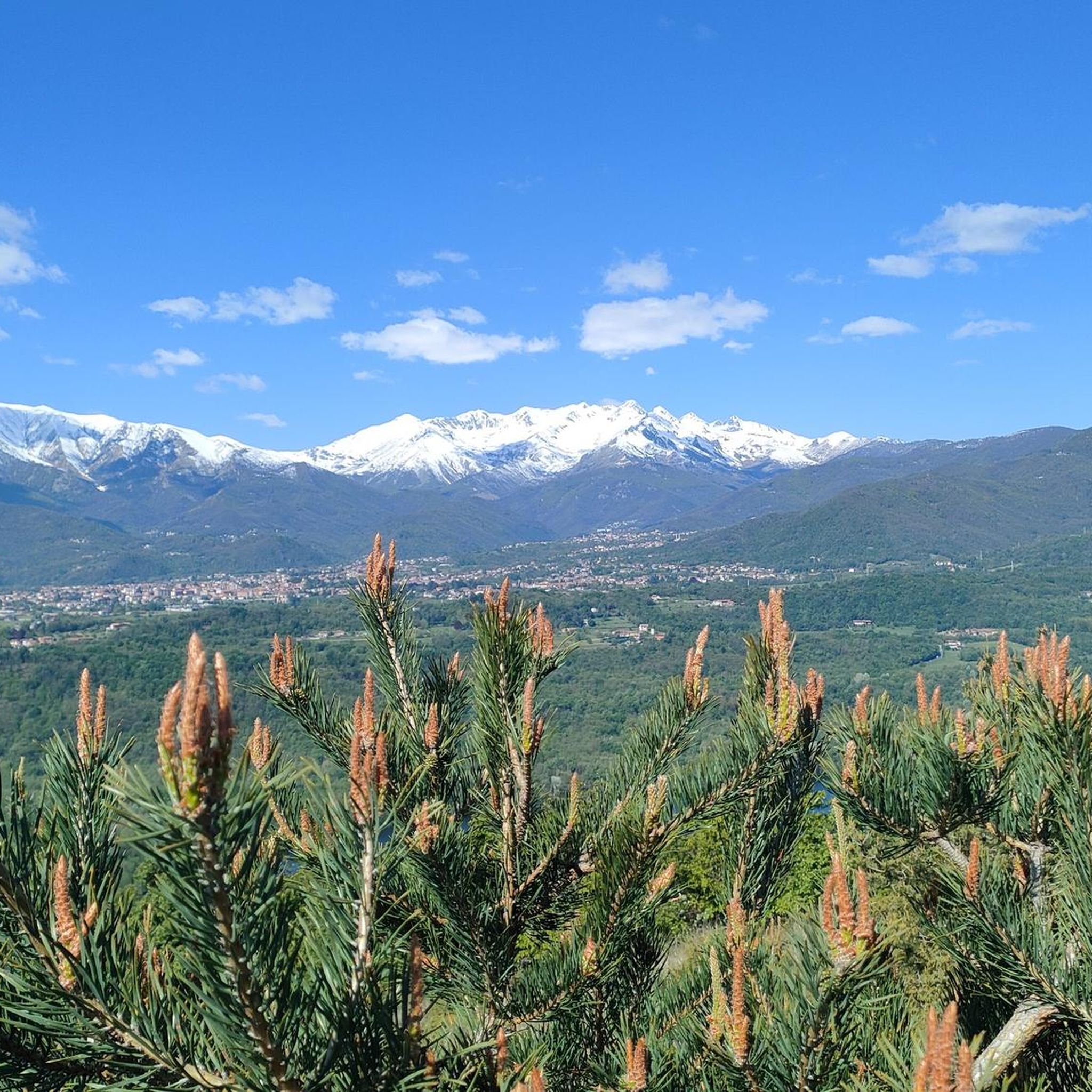
Mountaineering routes around Bosco Moncuni traverse a landscape characterized by varied elevations and dense woodlands in the Piedmont region of Italy. The area features prominent peaks like Monte San Giorgio and Monte Musinè, offering panoramic views of the surrounding plains and valleys. These routes often involve significant elevation gain, leading through forested slopes and open ridges. The terrain provides a mix of challenging ascents and moderate paths suitable for experienced mountaineers.
Best mountaineering routes around Bosco Moncuni
- The most popular…
Last updated: July 5, 2026
5
hikers
4.86km
02:30
430m
430m
Hard mountaineering route. Good fitness required. Sure-footedness, sturdy shoes and alpine experience required.
4.8
(10)
112
hikers
Hard mountaineering route. Good fitness required. Sure-footedness, sturdy shoes and alpine experience required.

Sign up for free
5.0
(1)
8
hikers
Hard mountaineering route. Good fitness required. Sure-footedness, sturdy shoes and alpine experience required.
21
hikers
7.18km
03:59
710m
710m
Moderate mountaineering route. Good fitness required. Mostly accessible paths. Sure-footedness required.
4
hikers
9.01km
04:31
720m
720m
Moderate mountaineering route. Good fitness required. Mostly accessible paths. Sure-footedness required.
Get access to more routes and recommendations from other explorers.
Sign up for free
Already have an account?
Our route recommendations are based on thousands of hikes, rides, and runs completed by other people on komoot.
Start today with a free account
Your next adventure awaits.
Login or Signup

Tips from the Community

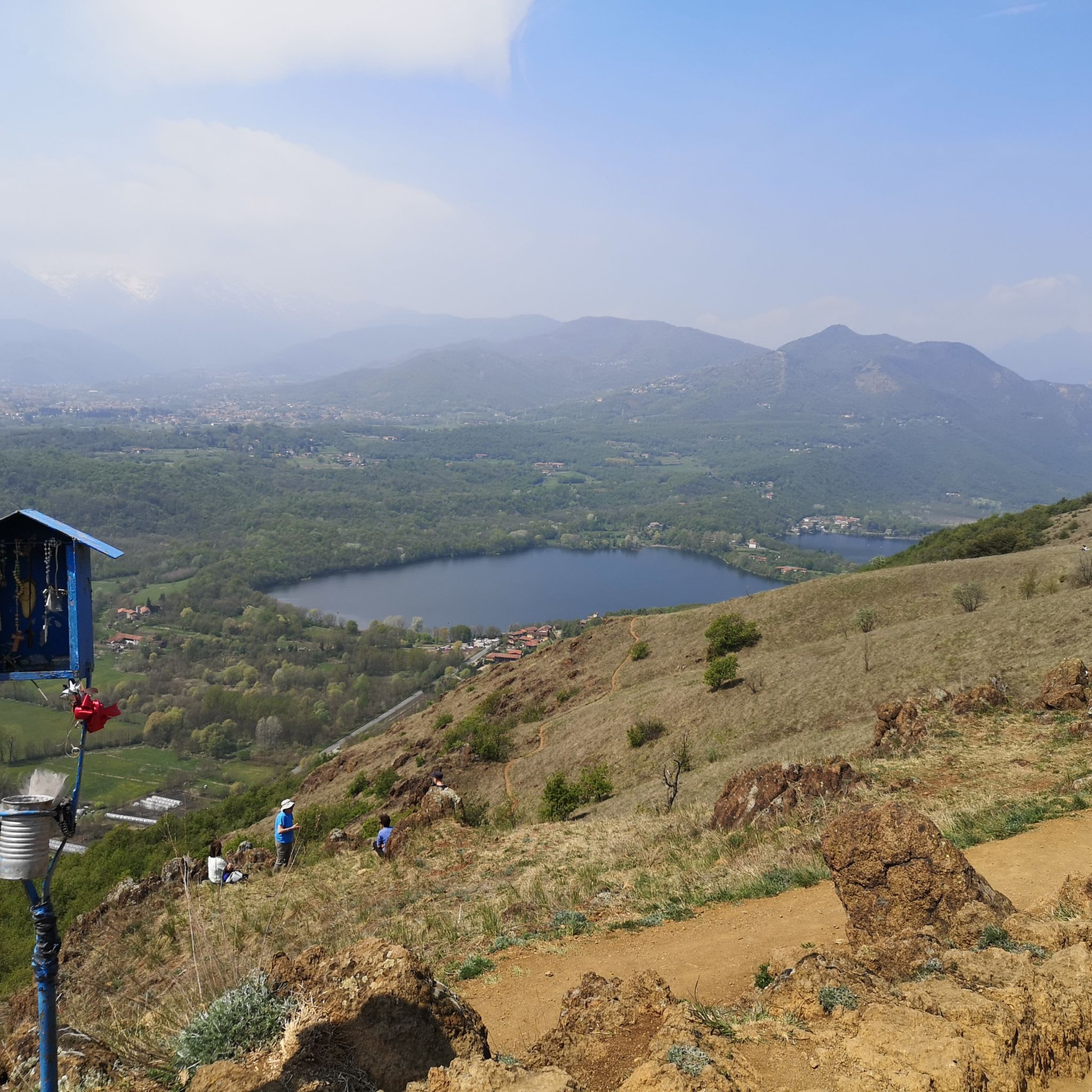
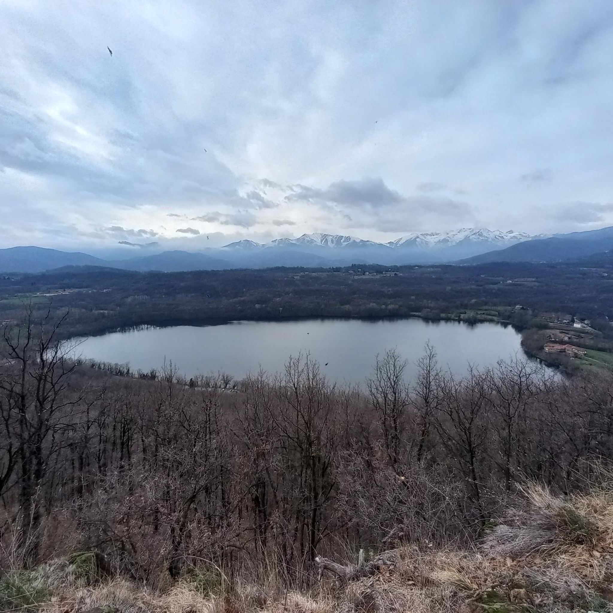
Panoramic destination, 360* panorama in Piossasco
0
0

Small stone church right at the highest point of Mount San Giorgio
1
0

A grand 13th-century abbey, with walls as strong as the faith of its founders, evocative for its location and history, it's definitely worth a visit. A little trivia: Umberto Eco drew inspiration from this place for the setting of his masterpiece.
4
0

Departure for the firebreak trail right in front of the Kiosk
0
0

Very steep, steady climb. No equipment required; can be done in all seasons.
0
0

Steep climb to the hamlet of San Pietro, which can become a real Stations of the Cross if you get too excited! Beautiful views of San Michele and wonderful woods.
0
0
Stunning view of Piossasco from the top of Monte San Giorgio
0
0
Dirt road from Piossasco to the chapel of San Valeriano. Significant slope, but very healthy surface without particular technical difficulties. At the top, beautiful view of the plain.
0
0
Frequently Asked Questions
What is the overall difficulty level of mountaineering routes around Bosco Moncuni?
The mountaineering routes in Bosco Moncuni are generally considered moderate to difficult. There are 5 moderate routes and 5 difficult routes available, making them suitable for experienced mountaineers looking for a challenge rather than easy strolls.
Are there any circular mountaineering routes in the Bosco Moncuni area?
Yes, several routes in Bosco Moncuni are circular. For example, you can explore the Monte San Giorgio loop from Piossasco, which is a difficult 2 hour 30 minute route. Another option is the Monte San Giorgio – Colle della Serva loop from Piossasco, a moderate 3 hour 30 minute trail.
What is the typical duration for mountaineering routes in Bosco Moncuni?
Route durations vary depending on the specific trail and your pace. For instance, the Monte San Giorgio loop from Piossasco typically takes around 2 hours 30 minutes, while the Cesana Tibetan Bridge loop from Sant'Ambrogio di Torino can take closer to 4 hours 25 minutes due to its significant elevation changes.
What kind of terrain can I expect on the mountaineering trails?
The terrain around Bosco Moncuni features varied elevations, dense woodlands, and open ridgelines. You will encounter challenging ascents to prominent peaks like Monte San Giorgio and Monte Musinè, offering panoramic views of the surrounding plains and valleys.
Are there any interesting landmarks or attractions to see near the mountaineering routes?
Yes, the region offers several points of interest. You can find the Mount Cuneo (Moncuni) summit, or explore the Panoramic Trail on the Sangone. The area also features the Bridge over the Sangone River.
What is the best season for mountaineering in Bosco Moncuni?
While specific data isn't provided, mountaineering in the Piedmont region is generally best enjoyed from spring through autumn. During these seasons, the weather is typically more stable, and trails are clear of snow, offering the best conditions for challenging ascents and panoramic views. Always check local weather forecasts before heading out.
Are there options for public transport to reach the trailheads?
Many routes start from towns like Piossasco, Sant'Ambrogio di Torino, and Caselette. These towns are typically accessible by local bus services from larger hubs in the Piedmont region. It's advisable to check local public transport schedules for specific routes and timings to plan your journey effectively.
Where can I park my car when visiting Bosco Moncuni for mountaineering?
Trailheads often begin in or near towns such as Piossasco, Sant'Ambrogio di Torino, and Caselette. These locations usually offer public parking facilities. We recommend checking local maps or town websites for specific parking areas closest to your chosen starting point.
What do other mountaineers say about the routes in Bosco Moncuni?
The routes in Bosco Moncuni are highly rated by the komoot community, with an average score of 4.4 stars from over 10 reviews. Mountaineers often praise the challenging ascents, the dense woodlands, and the rewarding panoramic viewpoints from peaks like Monte San Giorgio and Monte Musinè.
Are there any less-known or 'hidden gem' mountaineering routes in the area?
While popular routes like Monte San Giorgio are well-trodden, the Monte Musinè – Antico acquedotto loop from Caselette offers a moderate challenge with significant elevation gain and might provide a slightly different perspective of the region. It's a great option for those looking to explore beyond the most frequented trails.
What should I pack for a mountaineering trip in Bosco Moncuni?
Given the moderate to difficult nature of these routes, it's essential to pack appropriate gear. This includes sturdy hiking boots, layers of clothing suitable for changing mountain weather, sufficient water and snacks, a map or GPS device, and sun protection. Trekking poles can also be beneficial for the significant elevation changes.
Can I spot wildlife while mountaineering in Bosco Moncuni?
The dense woodlands and varied terrain of Bosco Moncuni provide a habitat for various local wildlife. While sightings are never guaranteed, keeping an eye out in quieter sections of the trails might reward you with glimpses of forest animals and diverse bird species native to the Piedmont region.
Most popular routes around Bosco Moncuni
Most popular attractions around Bosco Moncuni

Get inspired with the komoot mobile app


Explore more
Browse the best Mountain Hikes & Routes in other regions.
