The best running trails around Forêt Départementale de Tamié
4.4
(98)
5,650
runners
289
runs
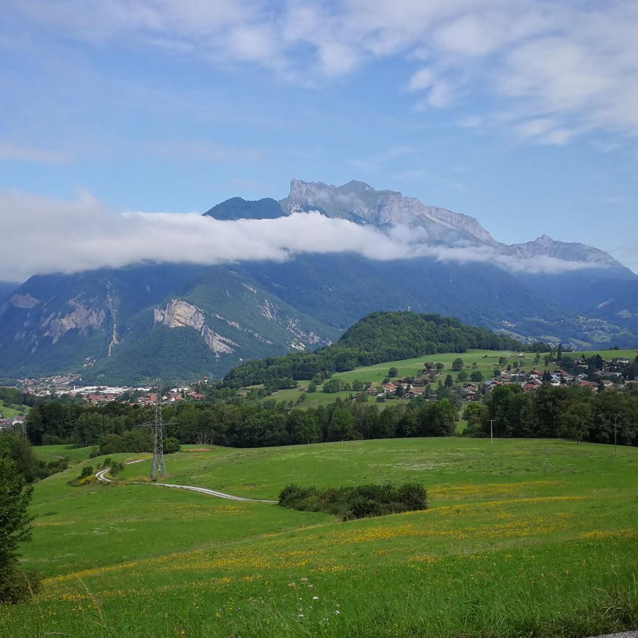
Jogging around Forêt Départementale de Tamié offers varied terrain within the Massif des Bauges Regional Nature Park. The area is characterized by dense woodlands, significant elevation changes, and numerous natural features. Runners can expect paths that navigate roots and trees, loose dirt, and steep sections, providing a mountain running experience. The region also features historical landmarks and panoramic views of the surrounding valleys and massifs.
Best jogging routes around Forêt Départementale de Tamié
- The most popular jogging route is La…
Last updated: November 2, 2026
16
runners
16.2km
03:07
1,320m
1,320m
Hard run. Very good fitness required. Sure-footedness, sturdy shoes and alpine experience required.
38
runners
24.1km
04:39
1,920m
1,920m
Hard run. Very good fitness required. Sure-footedness, sturdy shoes and alpine experience required.

18
runners
Hard run. Very good fitness required. Sure-footedness, sturdy shoes and alpine experience required.
47
runners
14.3km
02:45
1,050m
1,050m
Hard run. Very good fitness required. Sure-footedness, sturdy shoes and alpine experience required.
21
runners
15.2km
03:49
1,560m
1,560m
Hard run. Very good fitness required. Sure-footedness, sturdy shoes and alpine experience required.
Get access to more routes and recommendations from other explorers.
Already have an account?
Our route recommendations are based on thousands of hikes, rides, and runs completed by other people on komoot.
Start today with a free account
Your next adventure awaits.
Popular around Forêt Départementale de Tamié
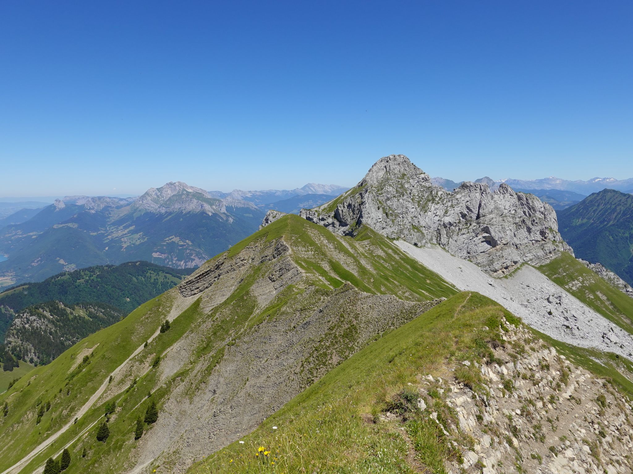
Running the peaks — reach the summits of the Bauges 2000ers
Road Cycling Routes around Forêt Départementale de Tamié
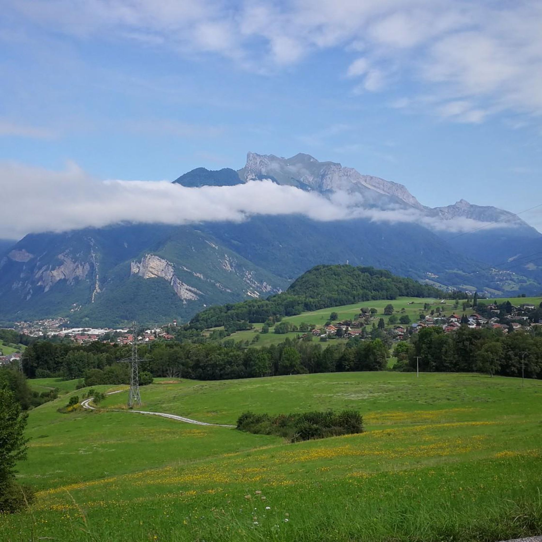
Hiking around Forêt Départementale de Tamié
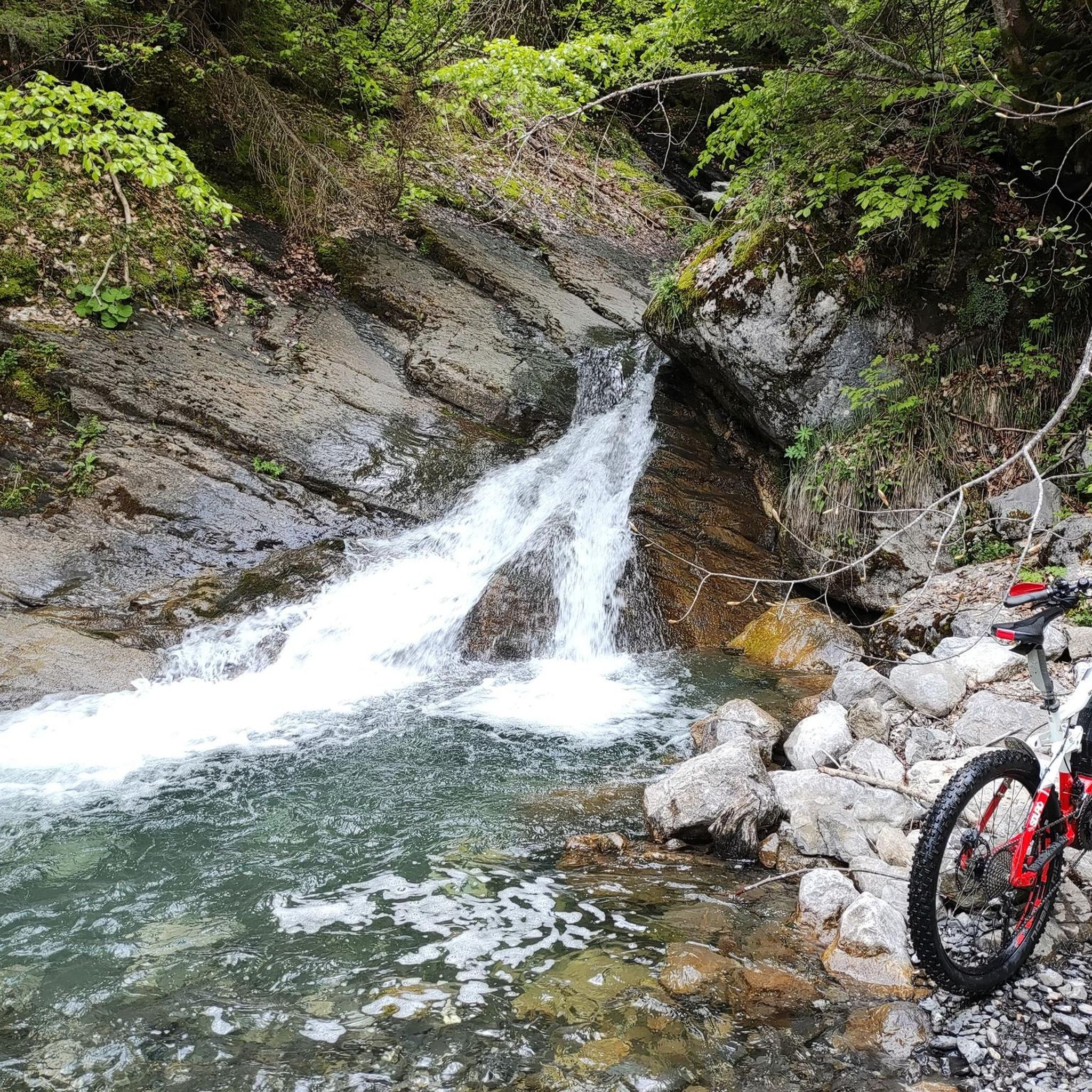
MTB Trails around Forêt Départementale de Tamié
Cycling around Forêt Départementale de Tamié

Mountain Hikes around Forêt Départementale de Tamié

Gravel biking around Forêt Départementale de Tamié
Other adventures around Forêt Départementale de Tamié

Tips from the Community

A former fortress. Today it is a leisure center with various activities. You can even drive up by car - there are ample parking spaces. Please check the opening hours in advance. It is not open every day.
0
0

The fork that leads to petit sambuy and point de sambuy is the moment of choice for a beautiful view that is easy to reach, or a high point that is really difficult climbing.
0
0

Opposite the abbey church is a drinking water fountain.
0
0

A magnificent place! It's not easy to get to—we won't take just anyone there—but the view is definitely worth the detour...
0
0

Hello, point 1 is not the Col d'Orgeval, but under Chaurionde. It would have been wise to mention the Aulp de Seythenex as point 1, as 2 under Chaurionde and so on....
0
0

As you climb the challenging trail to the top of Petite Sambuy, you’ll be rewarded with breathtaking panoramic views across the Tarentaise Valley. This iconic peak, nestled in the heart of the magnificent French Alps, offers a truly awe-inspiring experience. From the summit, you’ll be able to admire the snow-capped mountains, picturesque villages and winding rivers that characterise the region.
0
0

Chalet under renovation but part of it nevertheless provides shelter.
0
0

Super comfortable and possibility to meet the shepherd
0
0
Frequently Asked Questions
How many running trails are available in Forêt Départementale de Tamié?
There are nearly 300 running routes around Forêt Départementale de Tamié. These include 15 easy routes, 160 moderate routes, and 123 difficult routes, offering a wide range of options for all skill levels.
What kind of terrain should I expect on the jogging routes in Forêt Départementale de Tamié?
The terrain in Forêt Départementale de Tamié is diverse, characterized by dense woodlands and significant elevation changes. Runners can expect paths that navigate roots and trees, loose dirt, and steep sections, providing a true mountain running experience within the Massif des Bauges Regional Nature Park.
Are there any family-friendly running trails in the Forêt Départementale de Tamié region?
While many routes offer challenging ascents, there are easier paths suitable for families looking for a more relaxed run. These trails often wind through the tranquil woodlands, providing a pleasant experience for all ages. It's advisable to check individual route details for specific difficulty and length.
Can I bring my dog on the running trails in Forêt Départementale de Tamié?
Yes, many trails in Forêt Départementale de Tamié are dog-friendly, allowing you to enjoy a run with your canine companion. However, it's always recommended to keep dogs on a leash, especially in areas with wildlife or near agricultural land, and to respect local regulations within the Massif des Bauges Regional Nature Park.
What are some notable landmarks or scenic viewpoints along the running routes?
The region is rich in natural beauty and historical sites. You can run past the historic Abbey of Notre-Dame de Tamié, or explore trails around the Fort de Tamié, which offers breathtaking views over the Albertville valley and glimpses of Mont Blanc. Many routes also feature picturesque cascades and panoramic vistas of the surrounding mountains.
Are there circular running routes available in Forêt Départementale de Tamié?
Yes, many of the running routes in Forêt Départementale de Tamié are circular, allowing you to start and finish at the same point. For example, the challenging Chaurionde Peak – Col d'Orgeval loop from Abbaye Notre-Dame de Tamié offers a substantial ascent and descent with rewarding views.
What do other runners enjoy most about jogging in Forêt Départementale de Tamié?
The running routes in Forêt Départementale de Tamié are highly rated by the komoot community, with an average score of 4.4 stars from over 80 reviews. Reviewers often praise the diverse terrain, the tranquility of the dense woodlands, and the stunning panoramic views of the surrounding valleys and massifs.
Are there options for long-distance running in Forêt Départementale de Tamié?
Absolutely. Forêt Départementale de Tamié offers several routes suitable for long-distance running. The Chaurionde Peak – Col d'Orgeval loop from Abbaye Notre-Dame de Tamié, for instance, is a difficult 14.4-mile (23.1 km) path, perfect for those seeking a challenging endurance run.
What is the best time of year to go running in Forêt Départementale de Tamié?
The region is enjoyable for running throughout much of the year. Spring and autumn offer pleasant temperatures and vibrant scenery. Summer provides lush green landscapes, though some trails can be more challenging with higher temperatures. Winter running is also possible, with options for Nordic skiing and snowshoeing on some trails, but conditions can vary significantly.
Where can I find parking for the running trails?
Parking is generally available at key access points to the forest and near popular trailheads, such as around the Abbey of Notre-Dame de Tamié or the Fort de Tamié. It's always a good idea to check the specific starting point of your chosen route for the most convenient parking options.
Are there any challenging routes for experienced trail runners?
Yes, Forêt Départementale de Tamié is well-known for its challenging routes. The La Pointe de la Sambuy — Massif des Bauges - Trail - Loop is a difficult 10.0-mile (16.2 km) trail with significant elevation gain, offering a true test for experienced trail runners.
Can I find routes that offer views of waterfalls?
Yes, the area features numerous water features and picturesque cascades. Many popular waterfall trails wind through dense woodlands, with some being circular routes like the Seythenex Cave and Waterfall loop, providing a refreshing and scenic element to your run.
Most popular routes around Forêt Départementale de Tamié

Get inspired with the komoot mobile app


Explore more
Browse the best Running Trails & Routes in other regions.
