The best MTB trails around Forêt Départementale de Tamié
4.5
(272)
2,029
riders
129
rides
Mountain biking around Forêt Départementale de Tamié offers a diverse landscape characterized by dense woodlands, rolling hills, and the proximity to the Col de Tamié. The region features varied terrain, from forest tracks to more challenging ascents, providing a range of experiences for mountain bikers. The area is defined by its natural forest environment and the valleys that lead towards the Col de Tamié, making it suitable for exploring on two wheels.
Best mountain bike trails around Forêt Départementale de…
Last updated: November 2, 2026
3.8
(5)
10
riders
11.5km
01:12
110m
740m
Hard mountain bike ride. Advanced riding skills necessary. Some portions of the route may require you to push your bike.
5.0
(2)
10
riders
19.8km
02:28
1,020m
1,020m
Hard mountain bike ride. Very good fitness required. Advanced riding skills necessary. Some portions of the route may require you to push your bike.

4.0
(1)
2
riders
17.4km
02:39
1,260m
1,260m
Hard mountain bike ride. Very good fitness required. Advanced riding skills necessary. Some portions of the route may require you to push your bike.
4.7
(7)
24
riders
53.9km
04:47
1,330m
1,330m
Hard mountain bike ride. Very good fitness required.
8
riders
33.9km
04:10
1,570m
1,570m
Hard mountain bike ride. Very good fitness required. Advanced riding skills necessary. Some portions of the route may require you to push your bike.
Get access to more routes and recommendations from other explorers.
Already have an account?
Our route recommendations are based on thousands of hikes, rides, and runs completed by other people on komoot.
Start today with a free account
Your next adventure awaits.
Popular around Forêt Départementale de Tamié
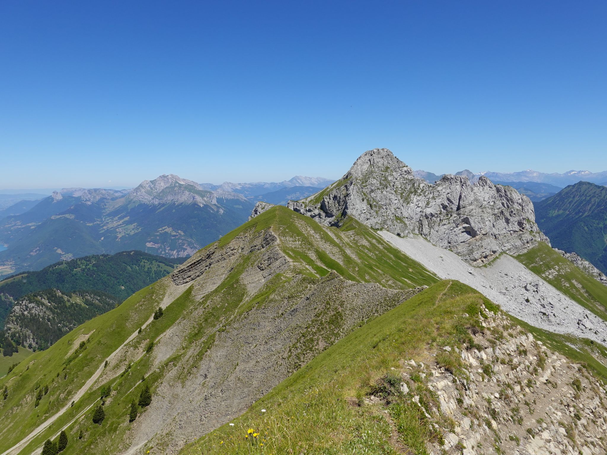
Running the peaks — reach the summits of the Bauges 2000ers
Road Cycling Routes around Forêt Départementale de Tamié
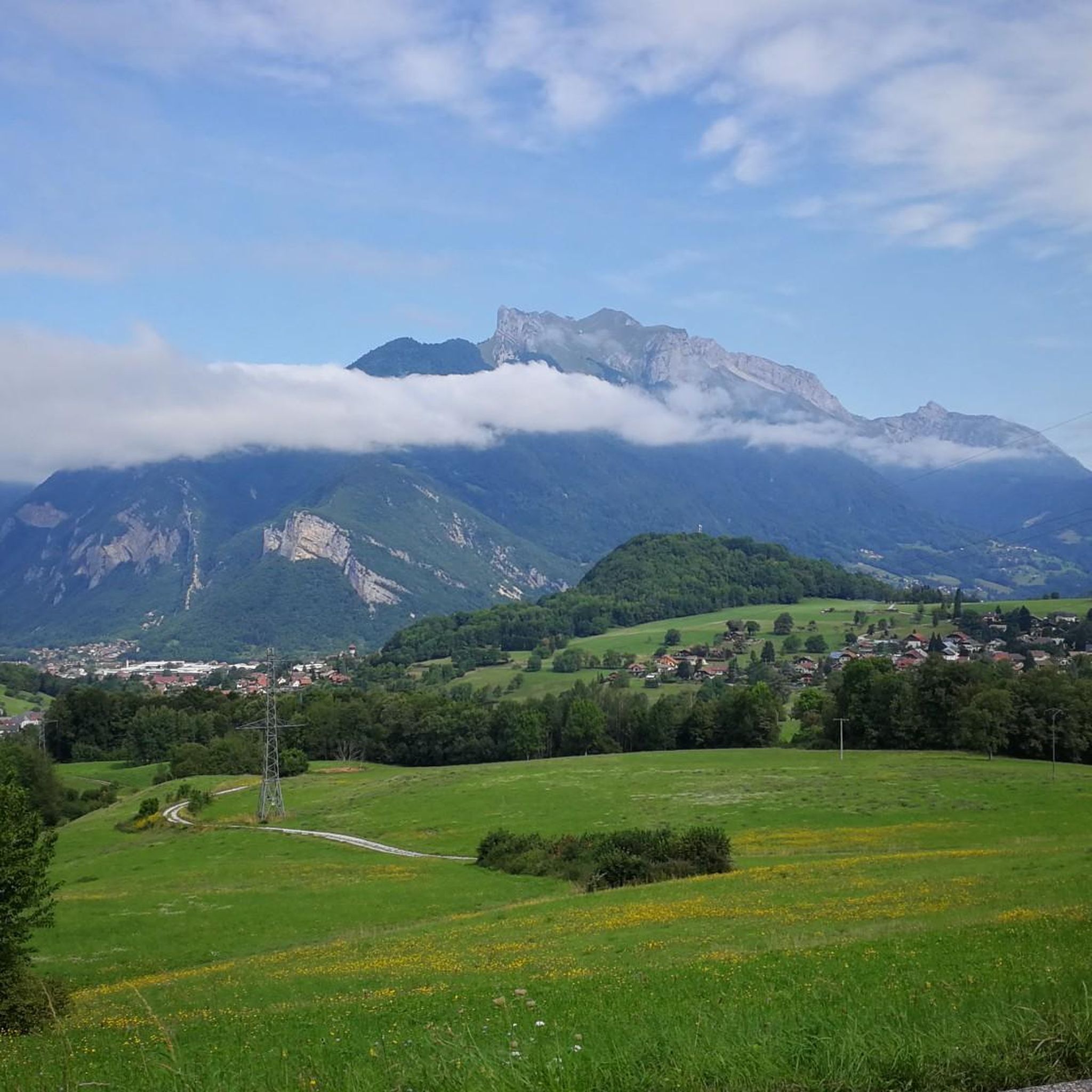
Hiking around Forêt Départementale de Tamié
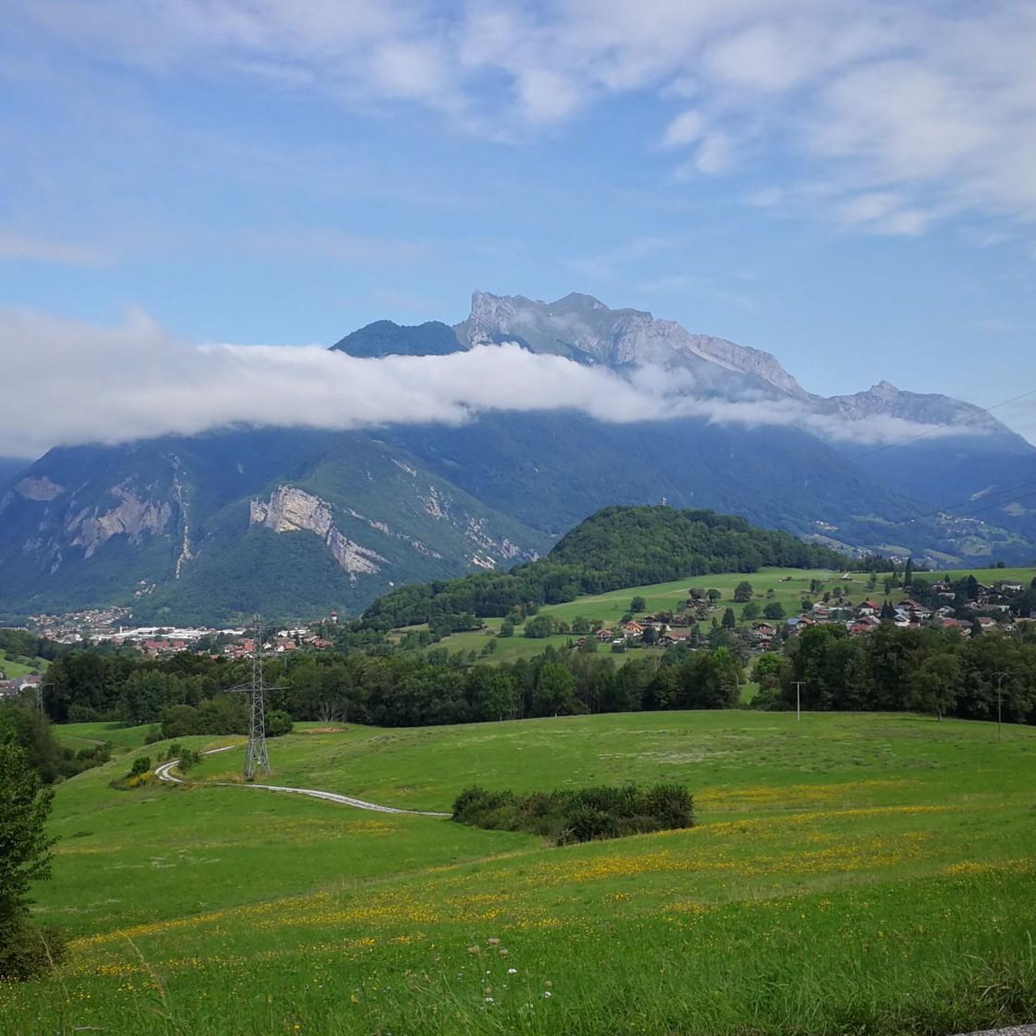
Cycling around Forêt Départementale de Tamié
Running Trails around Forêt Départementale de Tamié

Mountain Hikes around Forêt Départementale de Tamié

Gravel biking around Forêt Départementale de Tamié
Other adventures around Forêt Départementale de Tamié

Tips from the Community

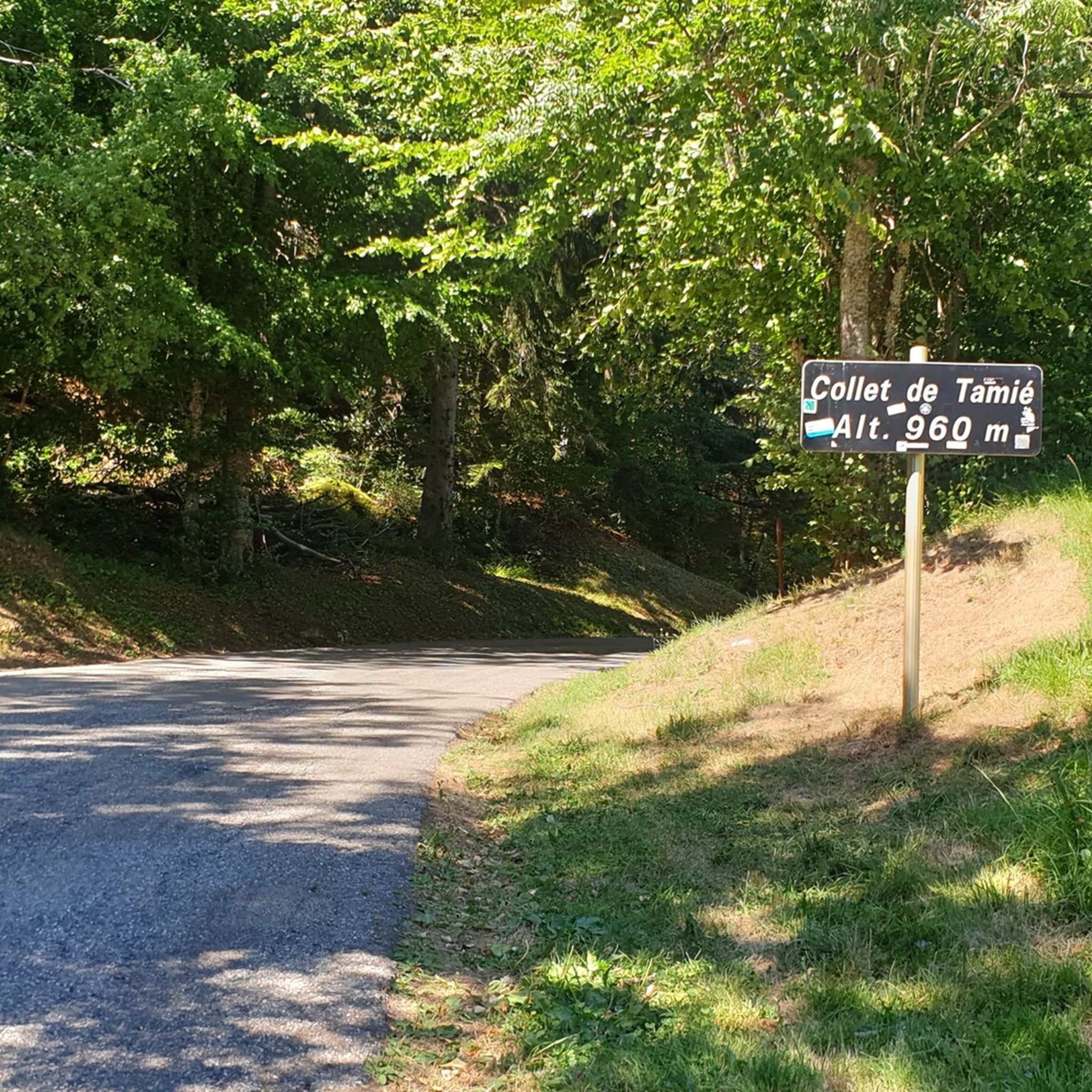
Nice gentle climb from Faverges. Several options are available at the top of the pass. Buy the famous Tamié cheese at the Abbaye Notre Dame or head to Ugine via Marthod on pleasant small roads, otherwise join Albertville or Chambéry.
0
0

A former fortress. Today it is a leisure center with various activities. You can even drive up by car - there are ample parking spaces. Please check the opening hours in advance. It is not open every day.
0
0

A pleasant path along the banks of the Montmin stream, then along the edge of the Eau Morte. A few roots, but nothing difficult. Flooding is possible depending on the season.
0
0

Very nice. It's fun here. A great selection of different lines of varying difficulty.
0
0

The descent between the Sambuy resort and La Glaise offers playful forest trails with a few jumps.
0
0
Located on the heights of Lake Annecy, this family-friendly resort is open winter and summer. Among the sports facilities are cycling trails that lead to discovering local heritage and expertise.
0
0

From this point in the valley there are unique views of the snow-capped mountains of the Mont Blanc Massif
0
0
A hill with a lot of traffic, better on roads that run parallel.
0
0
Frequently Asked Questions
How many mountain bike trails are available in Forêt Départementale de Tamié?
There are over 100 mountain bike trails in the Forêt Départementale de Tamié region, offering a wide range of options for different skill levels. The komoot community has explored these routes over 1800 times.
Are there mountain bike trails suitable for beginners in Forêt Départementale de Tamié?
Yes, the region offers several easy mountain bike trails. There are 14 easy routes available, perfect for those new to mountain biking or looking for a more relaxed ride. These trails typically feature less challenging terrain and elevation changes.
What kind of terrain can I expect on mountain bike trails in Forêt Départementale de Tamié?
The terrain in Forêt Départementale de Tamié is diverse, characterized by dense woodlands, rolling hills, and paths leading towards the Col de Tamié. You'll find a mix of forest tracks, some challenging ascents, and descents, with routes often passing through the scenic Val de Tamié.
Are there any challenging mountain bike trails for experienced riders?
Absolutely. For experienced mountain bikers seeking a challenge, there are over 50 difficult routes. An example is the Belle Étoile and Vallon de Tamié Loop, which covers over 17 km with significant elevation gain, providing a demanding ride through varied terrain.
What is the best time of year to go mountain biking in Forêt Départementale de Tamié?
The best time for mountain biking in Forêt Départementale de Tamié is generally from spring through autumn. During these seasons, the weather is more favorable, and trails are typically dry and clear, offering optimal riding conditions through the forest and valleys.
Are there any loop mountain bike trails in the area?
Yes, many of the mountain bike trails in Forêt Départementale de Tamié are designed as loops. For instance, the Notre-Dame de Tamié Abbey – Drison Refuge loop from Abbaye Notre-Dame de Tamié is a moderate 12.4 km loop that takes you through forested paths.
Can I bring my dog on the mountain bike trails in Forêt Départementale de Tamié?
Many trails in natural areas like Forêt Départementale de Tamié are dog-friendly, but it's always recommended to keep your dog on a leash, especially in areas with wildlife or other trail users. Check specific route details on komoot for any local restrictions or recommendations.
Are there mountain bike routes suitable for families with children?
While the guide focuses on general mountain biking, the 14 easy routes available in Forêt Départementale de Tamié are generally more suitable for families or those riding with children. These trails offer a less strenuous experience, allowing for a more enjoyable family outing.
What do other mountain bikers say about the trails in Forêt Départementale de Tamié?
The mountain bike trails in Forêt Départementale de Tamié are highly rated by the komoot community, with an average score of 4.5 stars from over 220 reviews. Riders often praise the diverse terrain, the beauty of the dense woodlands, and the challenging ascents to mountain passes like Col de Tamié.
Are there any long-distance mountain bike routes in the region?
Yes, for those looking for longer rides, there are several options. The Tamié Pass – Collet de Tamié (960 m) loop from Cléry is a challenging route spanning over 37 km, offering an extensive exploration of the area around Col de Tamié.
Are there any specific viewpoints or landmarks along the mountain bike trails?
Many routes offer views of the surrounding Val de Tamié and the mountains. Trails often pass near significant points like the Col de Tamié. While specific highlight data isn't provided, routes like the Notre-Dame de Tamié Abbey – Drison Refuge loop suggest proximity to historical sites.
Is public transport available to access mountain bike trails in Forêt Départementale de Tamié?
Access to specific trailheads by public transport can vary. While the region is accessible, direct public transport links to all starting points might be limited. It's advisable to check local bus schedules or consider driving to trail access points, especially for routes starting further into the forest.
Most popular routes around Forêt Départementale de Tamié

Get inspired with the komoot mobile app


Explore more
Browse the best MTB trails in other regions.
