The best running trails around Drumkeeragh Forest Park
3.0
(1)
273
runners
17
runs
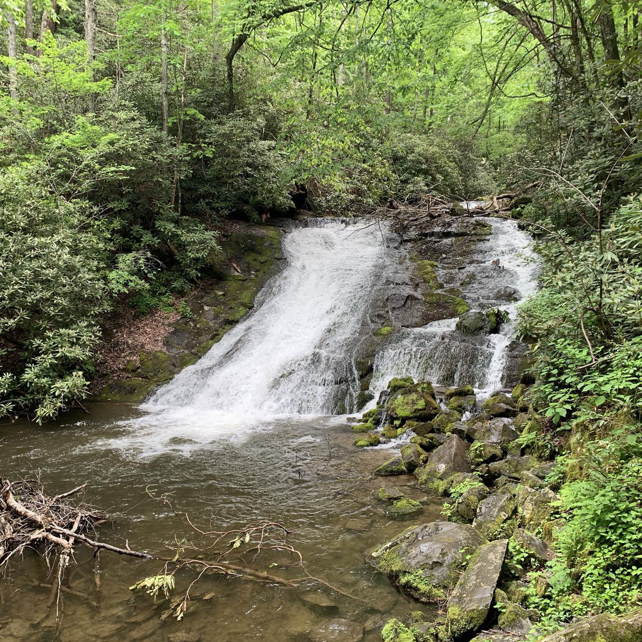
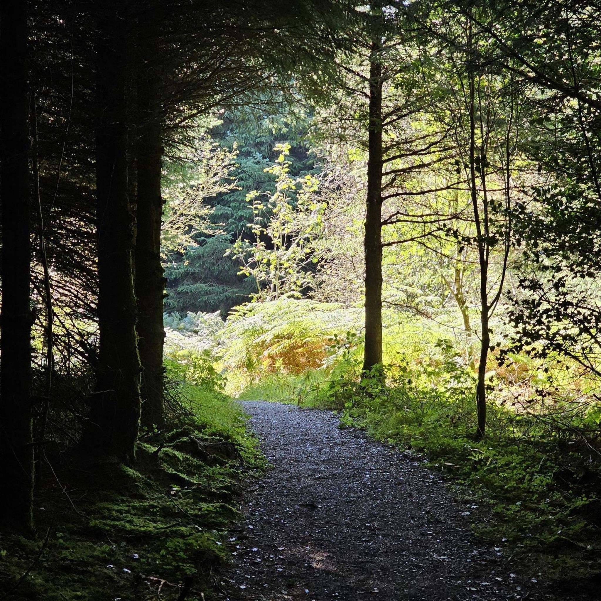
Jogging routes around Drumkeeragh Forest Park traverse a 200-hectare commercial coniferous woodland on the lower slopes of Slieve Croob, with elevations ranging from 190 to 310 meters. The park features an undulating landscape with rough gravel forest roads and trails. These running routes offer a mix of dense forest environments and areas undergoing reforestation with native broadleaves. From various high points, runners can experience panoramic views of the surrounding countryside.
Best jogging routes around Drumkeeragh Forest Park
- The most popular…
Last updated: May 17, 2026
5
runners
10.2km
01:16
370m
370m
Hard run. Very good fitness required. Mostly paved surfaces. Suitable for all skill levels.
7
runners
7.43km
01:00
320m
320m
Hard run. Very good fitness required. Mostly paved surfaces. Suitable for all skill levels.

Sign up for free
4
runners
7.57km
00:48
70m
70m
Moderate run. Good fitness required. Mostly paved surfaces. Suitable for all skill levels.
5
runners
8.03km
00:50
70m
70m
Moderate run. Good fitness required. Mostly paved surfaces. Suitable for all skill levels.
3.0
(1)
15
runners
6.20km
00:39
50m
50m
Moderate run. Good fitness required. Mostly paved surfaces. Suitable for all skill levels.
Get access to more routes and recommendations from other explorers.
Sign up for free
Already have an account?
Our route recommendations are based on thousands of hikes, rides, and runs completed by other people on komoot.
Start today with a free account
Your next adventure awaits.
Login or Signup
Tips from the Community

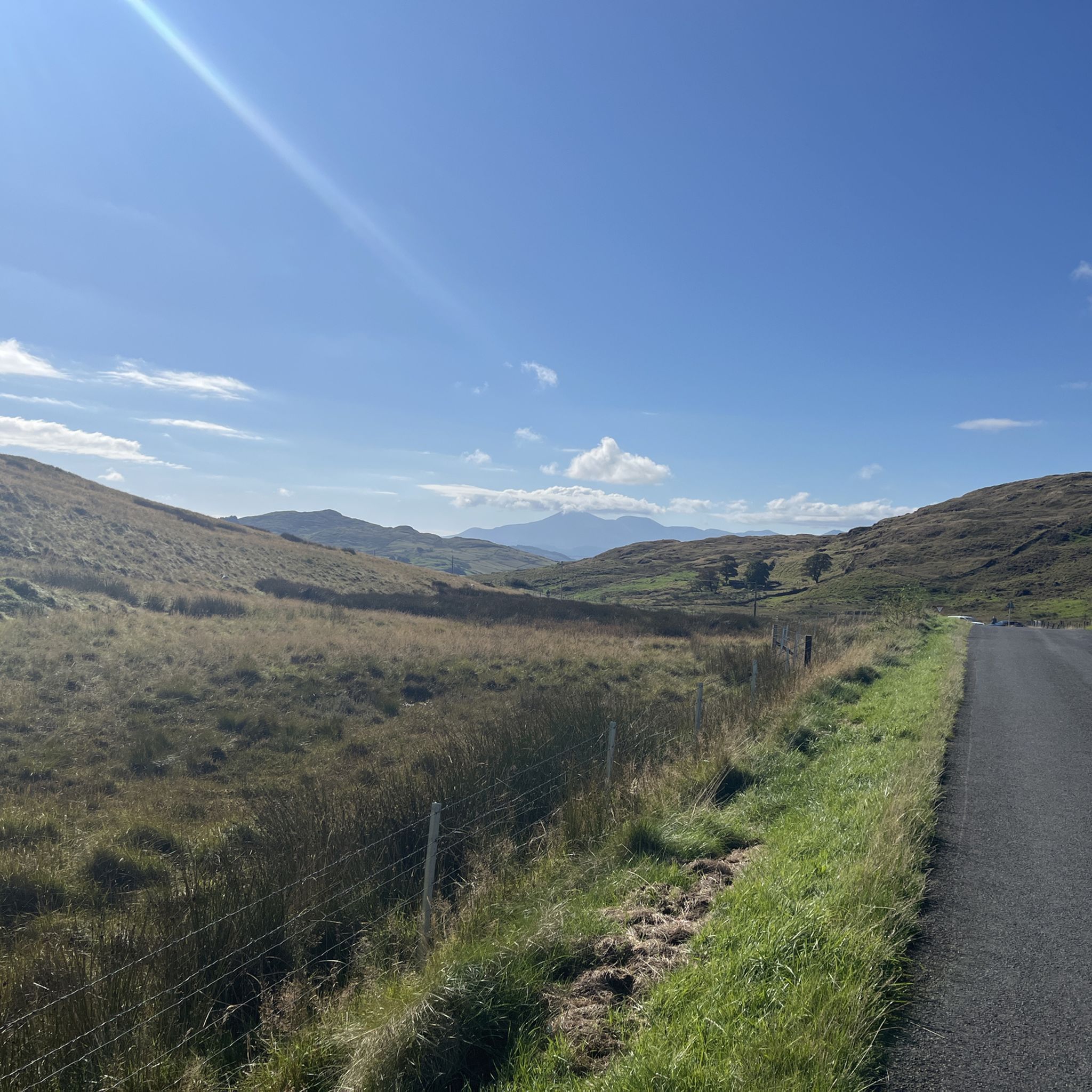
A winding path will lead you past a number of telecommunication towers up to the summit of Slieve Croob. There's some great views on offer here across County Down to the wonderful Mourne mountain range.
1
0
Slieve Croob stands at 534m and is the highest peak of the Dromara Hills, situated just north of the Mourne Mountains. From the summit, you can enjoy expansive views across County Down and toward the Mourne mountain range, a designated Area of Natural Beauty.
2
0

Good views and the most obvious spot to stop at the top of Dree hill, on the edge of Mourne AONB.
0
0

what a great day spent up slieve croob weather was fabulous.. handy enuff on a nice path even saw a few cyclists 👍
0
1

Tough climb to the summit, try and go on a clear day to get the best veiws.
1
0
Frequently Asked Questions
How many running routes are available in Drumkeeragh Forest Park?
Komoot features over 20 running routes around Drumkeeragh Forest Park. These routes offer a variety of experiences, from easy jogs to more challenging trails, catering to different fitness levels.
What types of terrain can I expect on the jogging trails in Drumkeeragh Forest Park?
The trails primarily consist of rough gravel forest roads and paths that traverse an undulating landscape. While predominantly coniferous woodland, some areas undergoing reforestation feature native broadleaves. You'll find a mix of surfaces suitable for running, with some sections offering more challenging ascents.
Are there any easy running routes suitable for beginners or a relaxed jog?
Yes, Drumkeeragh Forest Park offers several easier options. While many routes involve elevation, you can find trails with gentler gradients. For example, the park's internal trails like the Moneynabane Trail (2.5 miles loop) or Treetop Trail (1.4 miles loop) are generally considered more accessible. Komoot lists 2 easy routes in the area, perfect for a relaxed run.
Are there any challenging running routes for experienced runners?
Absolutely. For those seeking a more demanding workout, routes like Slieve Croob Summit Path – Slieve Croob Summit loop from Lagan offer significant elevation gain over 6.4 miles (10.2 km). Another challenging option is the Slieve Croob Summit – Slieve Croob Summit Path loop from Lagan, a 4.6-mile (7.4 km) path with a rewarding ascent to the summit area. There are 2 difficult routes listed on komoot.
Can I bring my dog on the running trails in Drumkeeragh Forest Park?
Drumkeeragh Forest Park is generally dog-friendly, making it a great place to run with your canine companion. However, it's always recommended to keep dogs under control, preferably on a lead, to protect wildlife and ensure a pleasant experience for all park users. Please check local signage for any specific restrictions.
Are there any circular jogging routes in the park?
Many of the trails in Drumkeeragh Forest Park are designed as loops, offering convenient circular running options. For instance, the Begny Lake loop from Down is a 4.7-mile (7.6 km) circular trail through varied terrain. Another popular loop is the Begny Lake loop from Dromara, covering 6.8 km.
Where can I park when visiting Drumkeeragh Forest Park for a run?
A small car park is available off Drumnaquoile Road, which serves as a convenient starting point for accessing various trails within Drumkeeragh Forest Park. This is the primary parking area for visitors.
What kind of views can I expect while running in Drumkeeragh Forest Park?
From various high points within the forest, runners can enjoy breathtaking panoramic views. These include glimpses of Strangford Lough and Scrabo Tower, a broad panorama stretching from Slieve Croob to the Antrim Hills, and on clear days, even the Sperrin Mountains. The park's elevated position provides far-reaching views towards the Mourne Mountains, coastline, and surrounding countryside.
Are there any cafes or pubs nearby for post-run refreshments?
While Drumkeeragh Forest Park itself doesn't have on-site cafes, nearby towns like Dromara and Ballynahinch offer options for refreshments. You can find local cafes and pubs in these communities to relax and refuel after your run.
What do other runners say about the trails in Drumkeeragh Forest Park?
The running routes in Drumkeeragh Forest Park are highly rated by the komoot community, with an average score of 3.0 stars. Runners often praise the extensive coniferous woodlands, the undulating forest roads, and the panoramic views from elevated positions, highlighting the diverse options for various fitness levels.
Is Drumkeeragh Forest Park suitable for family runs?
Yes, the park offers trails suitable for families, especially those with older children or who are comfortable with varied terrain. While some routes are challenging, the easier loops like the Treetop Trail (1.4 miles) provide a pleasant environment for a family jog or walk. The natural setting and wildlife can also make it an engaging experience for children.
What is the best time of year to go running in Drumkeeragh Forest Park?
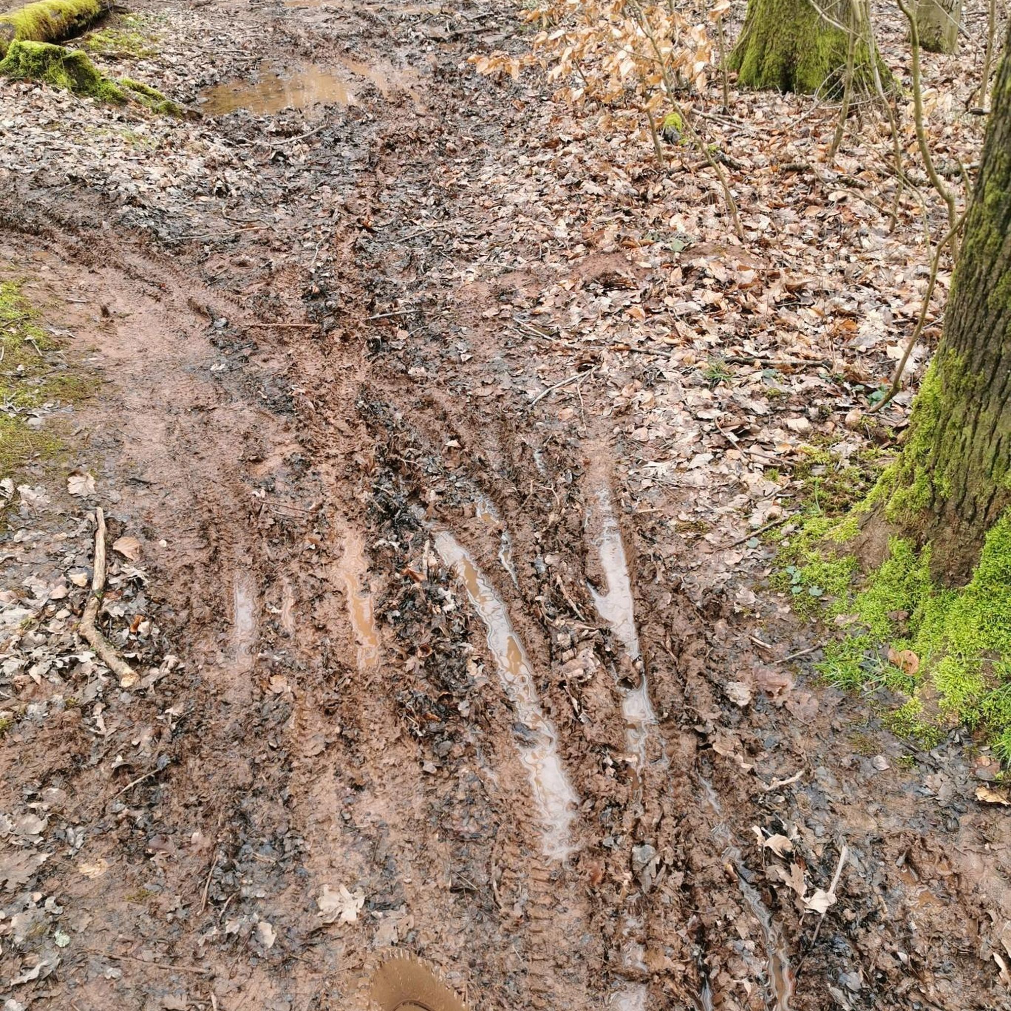
Drumkeeragh Forest Park offers a great running experience year-round. Spring and autumn provide pleasant temperatures and beautiful foliage. Summer is ideal for longer runs, though some trails might be exposed. Winter running is also possible, but be prepared for potentially muddy or icy conditions on certain sections, especially at higher elevations. Always check local weather conditions before heading out.
Most popular routes around Drumkeeragh Forest Park

Get inspired with the komoot mobile app


Explore more
Browse the best Running Trails & Routes in other regions.
