The best walks and hikes around Drumkeeragh Forest Park
4.7
(38)
444
hikers
18
hikes
Hiking around Drumkeeragh Forest Park takes place on the lower slopes of Slieve Croob. The region is characterized by commercial coniferous woodland with an extensive network of gravel forest roads. The park's elevation rises from 190 to 310 meters, providing views over the surrounding County Down countryside, including the Mourne Mountains.
Best hiking trails around Drumkeeragh Forest Park
- The most popular hiking route is Drumkeeragh Forest Park loop, a 4.8 mile (7.7 km) trail that takes about 2 hours…
Last updated: May 21, 2026
4.7
(3)
48
hikers
7.74km
02:08
130m
130m
Moderate hike. Good fitness required. Easily-accessible paths. Suitable for all skill levels.
5.0
(2)
3
hikers
5.85km
01:39
120m
120m
Easy hike. Great for any fitness level. Easily-accessible paths. Suitable for all skill levels.

Sign up for free
5.0
(1)
9
hikers
2.44km
00:40
30m
30m
Easy hike. Great for any fitness level. Easily-accessible paths. Suitable for all skill levels.
5
hikers
3.02km
00:49
40m
40m
Easy hike. Great for any fitness level. Easily-accessible paths. Suitable for all skill levels.
4.2
(9)
152
hikers
4.49km
01:23
160m
160m
Easy hike. Great for any fitness level. Easily-accessible paths. Suitable for all skill levels.
Get access to more routes and recommendations from other explorers.
Sign up for free
Already have an account?
Our route recommendations are based on thousands of hikes, rides, and runs completed by other people on komoot.
Start today with a free account
Your next adventure awaits.
Login or Signup
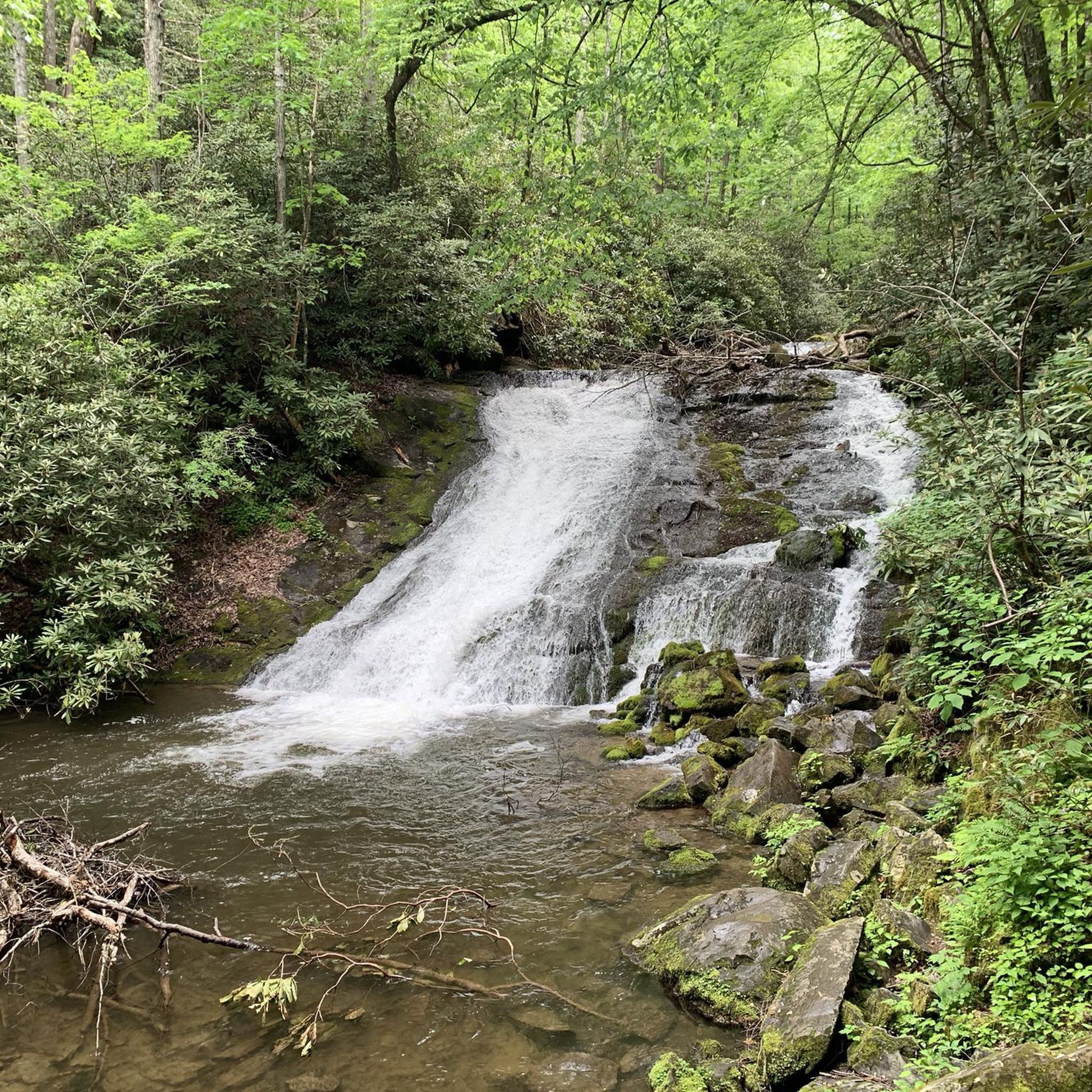
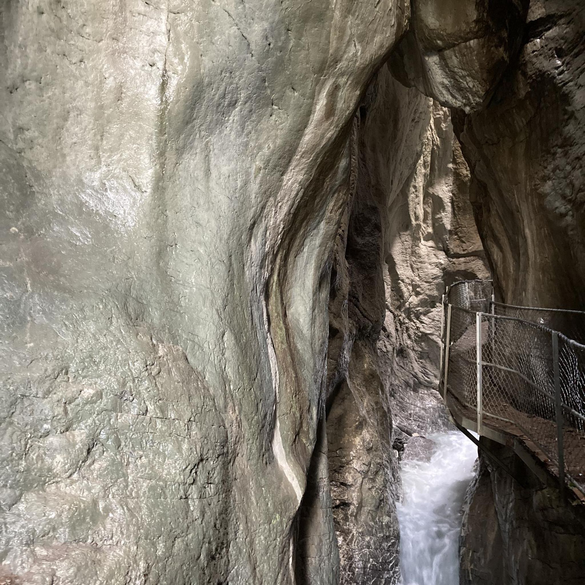
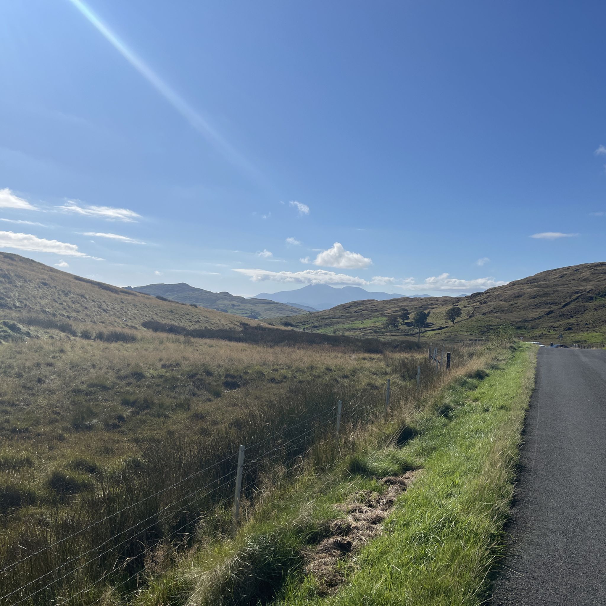
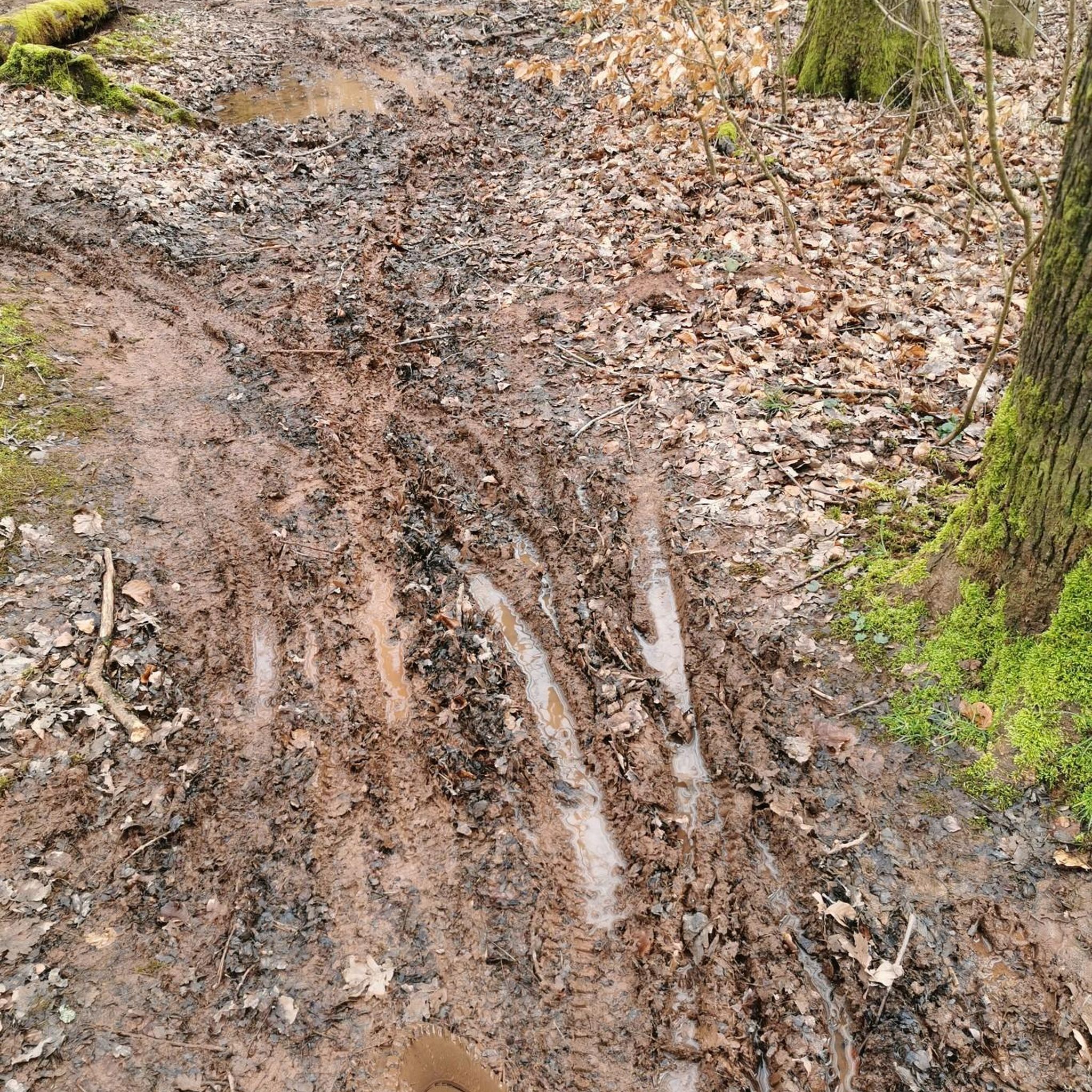
Tips from the Community

Drumkeeragh is a beautiful coniferous woodland located in the southern region of Northern Ireland. The forest is in a mountaineous area, creating an elevated position to enjoy far-reaching views toward the Mourne Mountains, coastline & surrounding lush counyside.
1
0
From this point in the park, you can enjoy sublime views toward the towering Mourne Mountains of Northern Ireland.
1
0
A winding path will lead you past a number of telecommunication towers up to the summit of Slieve Croob. There's some great views on offer here across County Down to the wonderful Mourne mountain range.
1
0
Slieve Croob stands at 534m and is the highest peak of the Dromara Hills, situated just north of the Mourne Mountains. From the summit, you can enjoy expansive views across County Down and toward the Mourne mountain range, a designated Area of Natural Beauty.
2
0

what a great day spent up slieve croob weather was fabulous.. handy enuff on a nice path even saw a few cyclists 👍
0
1

Tough climb to the summit, try and go on a clear day to get the best veiws.
1
0
Frequently Asked Questions
Is Drumkeeragh Forest Park dog-friendly?
Yes, you can bring your dog to Drumkeeragh Forest Park. However, they must be kept under close control at all times to ensure the safety and comfort of other visitors and to protect local wildlife.
Where can I park at Drumkeeragh Forest Park?
There is a dedicated car park located at the entrance to the forest, which includes spaces for horse boxes. The main starting point for most trails is the Drumkeeragh Forest Car Park on Drumnaquoile Road.
Are there any easy, family-friendly walks in the park?
Absolutely. The park has several easier trails suitable for families and beginners. A great option is the Hiking loop from Finnis, a gentle 5 km walk on forest tracks that offers a lovely introduction to the area's scenery without any strenuous climbs.
What are the trail surfaces like? Do I need special footwear?
The trails in Drumkeeragh Forest Park are primarily gravel forest roads. These surfaces can be rough and uneven in places, so wearing sturdy footwear like hiking boots or shoes with good grip is highly recommended for comfort and safety.
What kind of views can I expect from the trails?
The park's elevation on the slopes of Slieve Croob provides spectacular panoramic views. On a clear day, you can see across the County Down countryside to the Mourne Mountains, Dundrum Bay, and even Strangford Lough. The higher trails offer the most expansive vistas.
Are there any moderately challenging hikes available?
Yes, for those seeking more of a challenge, there are moderately difficult trails. The Slieve Croob Summit Path – Slieve Croob Summit loop from Dromara Hills is a 10 km route that involves more significant elevation gain, rewarding you with fantastic views from the summit.
How many hiking trails are there in Drumkeeragh Forest Park?
You can find nearly 20 different hiking routes around Drumkeeragh Forest Park on komoot. These range from short, easy loops to more demanding moderate trails, offering plenty of options to explore the woodland and surrounding hills.
What do other hikers think of the trails in Drumkeeragh Forest Park?
The area is highly regarded by the komoot community, with an average rating of 4.7 out of 5 stars. Hikers often praise the beautiful woodland setting, the well-maintained gravel paths, and the stunning panoramic views of the Mourne Mountains.
What is the landscape like within the forest itself?
The forest is a commercial coniferous woodland, featuring a mix of Sitka spruce, larch, and fir trees. In some denser, high-moisture areas, the trees are covered in moss, creating a lush, green environment that feels quite immersive and ancient.
How does Drumkeeragh Forest Park compare to Castlewellan Forest Park?
Drumkeeragh offers a more rugged and natural hiking experience focused on woodland trails and expansive mountain views from the slopes of Slieve Croob. Castlewellan is more developed, featuring a famous arboretum, a large lake, and a historic castle, offering a wider variety of family attractions alongside its walking paths.
Are there any official opening times for the park?
Drumkeeragh Forest Park is managed by the Forest Service NI and is generally accessible at all times. For the most current information on access or any potential closures, it's always a good idea to check the official nidirect.gov.uk website.
Most popular routes around Drumkeeragh Forest Park

Get inspired with the komoot mobile app


Explore more
Browse the best Hikes in other regions.
