The best cycling routes around Glentress Forest
4.5
(93)
3,579
riders
95
rides
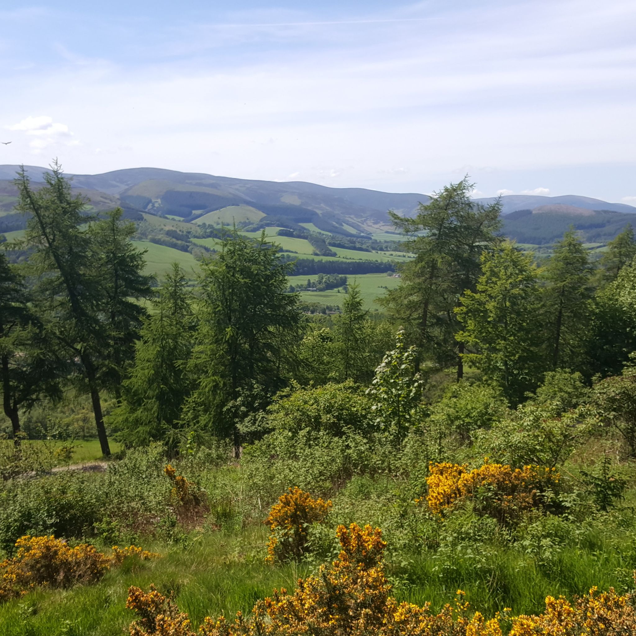
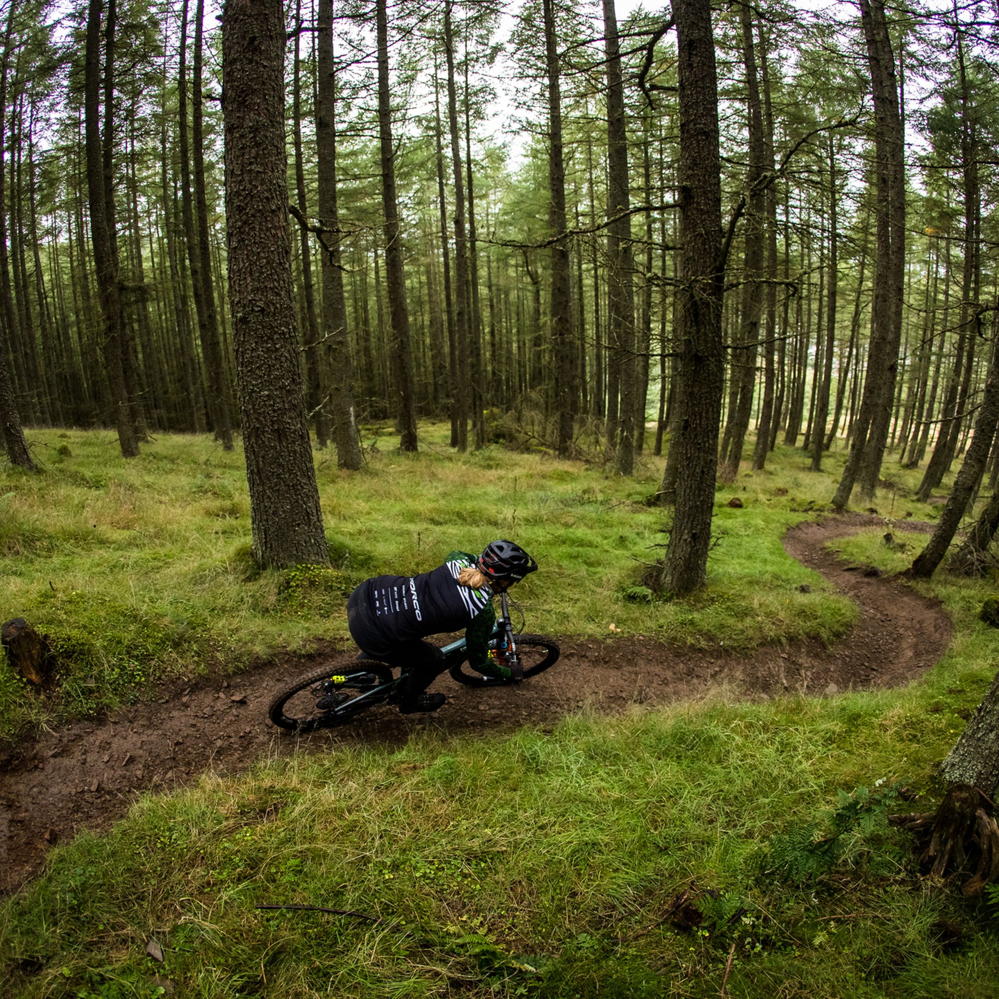
Touring cycling routes around Glentress Forest are set within the scenic Tweed Valley, characterized by diverse woodlands, rolling hills, and the meandering River Tweed. The area features a network of multi-user trails and forest roads, providing accessible paths with gentle slopes and connections to broader regional cycling networks. These routes offer panoramic views of the Tweed Valley and surrounding countryside. The terrain includes wide gravel paths, sealed surfaces along the river, and minor country roads.
Best touring cycling routes around Glentress Forest
- The most popular touring cycling route is St Mary's Loch & Megget Water loop from Peebles, a 49.1 miles (79.0 km) trail that takes 4 hours 53 minutes to complete. This route offers expansive views of St Mary's Loch and the Megget Water valley.
- Another top favourite among local touring cyclists is Peebles to Innerleithen loop, a moderate 15.4 miles (24.8 km) path. This route follows the picturesque River Tweed, connecting the towns of Peebles and Innerleithen.
- Local touring cyclists also love the Peebles to Cadger's Brig loop, a 38.0 miles (61.2 km) trail leading through the wider Tweed Valley landscape, often completed in about 3 hours 49 minutes.
- Touring cycling around Glentress Forest is defined by Tweed Valley views, diverse woodlands, and the River Tweed. The network offers options for different ability levels, from accessible multi-user paths to more challenging routes on forest roads.
- The routes in Glentress Forest are highly rated by the komoot community with an average score of 4.4 stars from over 70 reviews. More than 4000 touring cyclists have used komoot to explore Glentress Forest's varied terrain.
Last updated: August 18, 2026
5.0
(6)
173
riders
79.0km
04:53
740m
740m
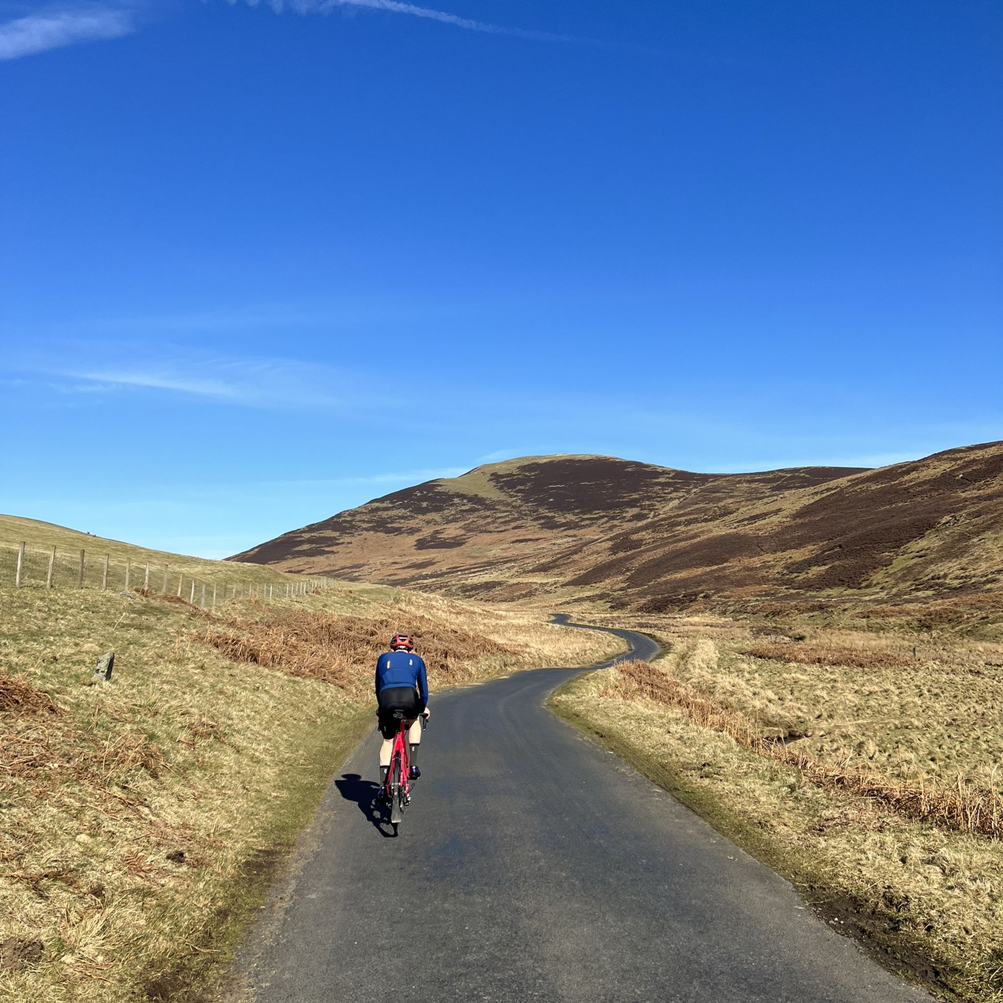
Embark on a difficult touring bicycle journey through the Scottish Borders with the St Mary's Loch & Megget Water loop from Peebles. This challenging route spans 49.1 miles (79.0 km) and involves a significant elevation gain of 2434 feet (742 metres), typically taking around 4 hours and 53 minutes to complete. As you pedal, you will discover a remote and beautiful landscape, characterized by rolling hills and tranquil valleys. The reflective waters of St Mary's Loch offer a serene visual anchor, providing expansive views as you cycle along the A708. Prepare for an experience that combines demanding climbs with moments of profound natural beauty, making you feel truly immersed in the wilderness.
Planning your visit requires a good level of fitness, as this is a hard bike ride with substantial elevation changes. You should be ready for a 20% gradient climb after Megget Reservoir, which will test your endurance. While the route primarily follows quiet paved roads, be aware that some sections may have rougher surfaces, potholes, or loose gravel, potentially requiring you to push your bike. The remote nature of the area means you will encounter minimal traffic, enhancing the sense of escape and solitude on your ride.
This loop offers more than just a physical challenge; it provides a unique opportunity to connect with the untouched natural environment of the Scottish Borders. The area around Megget Reservoir is particularly stunning, making it an ideal spot for a picnic stop where you can soak in the peaceful surroundings. The trail's remoteness is a defining feature, allowing you to feel isolated from the rest of the world and fully appreciate the vastness of the landscape. It stands out as a rewarding option for those seeking a demanding yet incredibly scenic touring bicycle adventure.
4.4
(16)
163
riders
24.8km
01:28
170m
170m
The Peebles to Innerleithen loop offers a moderate touring cycling experience, covering 15.4 miles (24.8 km) with 558 feet (170 metres) of elevation gain, typically completed in 1 hour and 28 minutes. You will cycle along the picturesque River Tweed, enjoying views of the Upper Tweed Valley and passing through woodlands. A notable sight on the route is the Neidpath Tunnel, which is nearly half-a-mile long and can be quite dark, adding a unique element to your ride.
This route is largely traffic-free, especially on sections of the Tweed Valley Railway Path, making it suitable for various skill levels. You will find amenities along the way, including cafes like the one at the old railway station in Cardrona, and bike shops in Innerleithen, Glentress, and Peebles. Consider starting your ride in either Peebles or Innerleithen, both offering convenient access to the loop.
The area is a hub for cycling, and this loop connects to National Cycle Network 1, linking you to the renowned mountain biking facilities at Glentress and Innerleithen. Beyond the main path, various loop options cater to different preferences, from easy rides to more challenging ones exploring surrounding forests and hills. Keep an eye out for wildlife, as osprey sightings are possible along the river.

Sign up for free
5.0
(2)
12
riders
61.2km
03:49
550m
550m
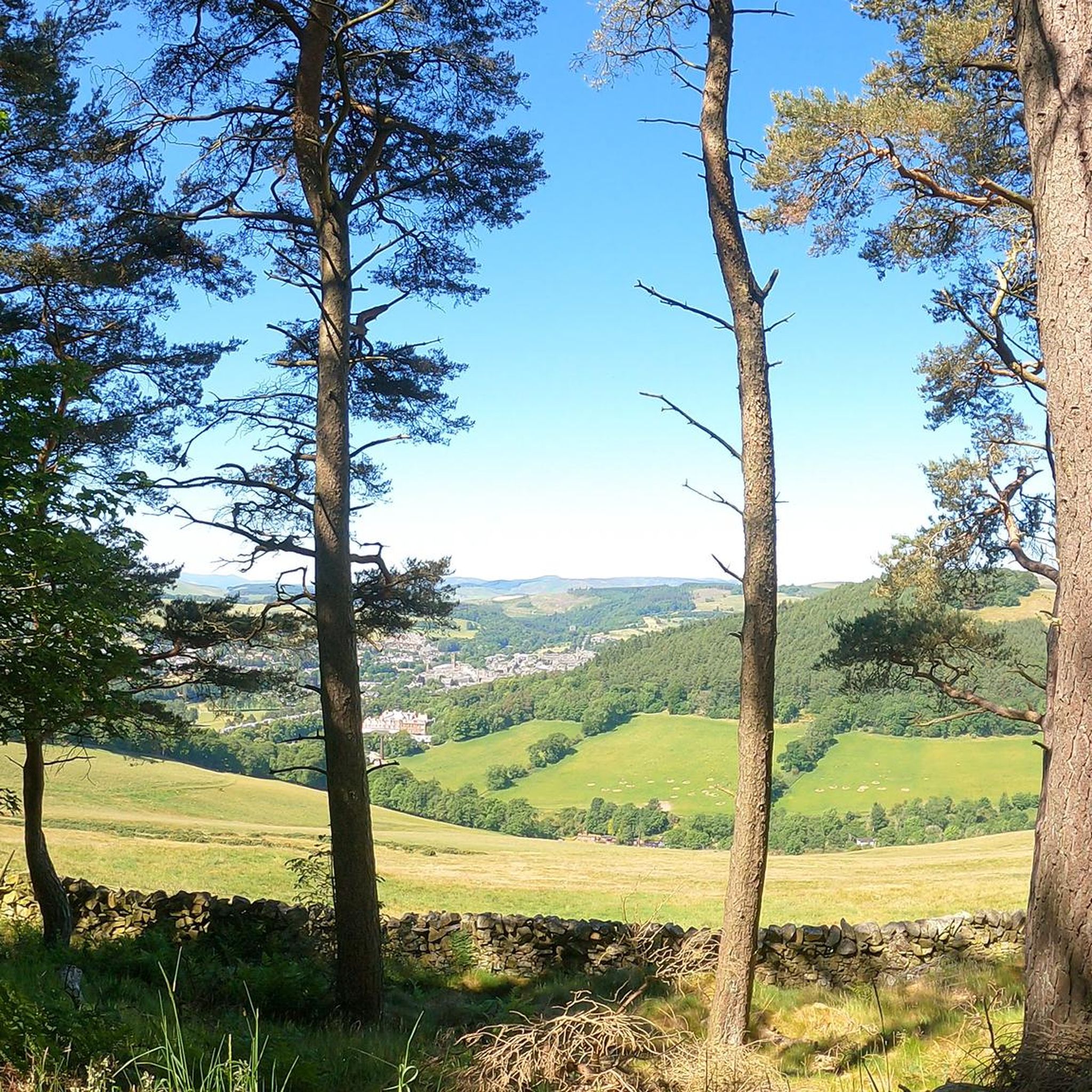
The Peebles to Cadger's Brig loop offers a challenging touring bicycle experience through the rolling hills of the Scottish Borders. This difficult 38.0-mile (61.2 km) route, typically completed in about 3 hours and 49 minutes, features a significant elevation gain of 1810 feet (552 metres). You will cycle through a mix of forest-covered areas and open valleys, enjoying views of the scenic River Tweed and the lush Tweed Valley Forest Park. Expect varied terrain, with mostly paved surfaces but also some unpaved segments that can be tricky in wet conditions. The trail provides rewarding vistas overlooking Peebles and the Dunslair Hills, showcasing the natural beauty of the region.
Starting from the Peebles area, a renowned cycling hub in Scotland, this loop requires very good fitness due to its difficult nature. Be prepared for significant elevation gain, as the route climbs over 1800 feet, and you might encounter sections where pushing your touring bicycle is necessary. The trail is popular among local cyclists, so you may find the best times to ride are early mornings or weekdays to avoid busier periods. Always check local conditions, especially during wet weather, as unpaved sections can become more challenging.
This loop is set within the Scottish Borders, an area rich in history and natural beauty. As you cycle, you might pass through the dramatic Peebles Town Centre and near historical sites like Traquair House. The region is known for its ruined castles and ancient drove roads, adding a layer of cultural context to your ride. The strong cycling culture here, highlighted by nearby attractions like Glentress Mountain Bike Centre, makes Peebles an excellent base for exploring the wider area.
4.5
(11)
198
riders
Easy bike ride. Great for any fitness level. Mostly paved surfaces. Suitable for all skill levels.
5.0
(3)
148
riders
55.7km
04:08
730m
730m
Hard bike ride. Very good fitness required. Mostly paved surfaces. Suitable for all skill levels.
Get access to more routes and recommendations from other explorers.
Sign up for free
Already have an account?
Our route recommendations are based on thousands of hikes, rides, and runs completed by other people on komoot.
Start today with a free account
Your next adventure awaits.
Login or Signup
Tips from the Community

Very tough climb if you continue it to the wind farm. Route above is not bikeable, walking and wet feet.
0
0

Connecting the 7 staines. You can bike from Walkerburn, Innerleithen and Glentress on this path.
0
0
The A708 follows the northern shore of St Mary's Loch, the largest natural body of water in the Scottish Boarders. It's an A road and people do drive fast, but it's never that busy, so It's a fun ride with great views. The loch takes its name from the chapel that once stood on the northern shore. The chapel has gone, but the graveyard remains.
1
0

Beautiful loch and there's a cafe nearby.
0
0

Nice cafe over looking St Mary's Loch
0
0


The River Tweed, or Tweed Water (Scottish), is a river 97 miles (156 km) long that flows east across the Scottish Borders and into northern England. Tweed is an Old Celtic name meaning "border" and tweed cloth derives its name from its association with the river, on account of the hundreds of mills powered by the river at one time. The Tweed is one of the great Salmon rivers of Europe and generates a large income for the local Borders region, attracting anglers from all around the world. It is one of the best Salmon rivers in Scotland.
0
0

The path that runs between Peebles, Cardona & Innerleithen is adjacent to the river. It is quite flat, not much ascending. This would be good for families with young children or if you just want a slower, steady ride
0
0
Frequently Asked Questions
How many touring cycling routes are available around Glentress Forest?
There are over 100 touring cycling routes around Glentress Forest, catering to various skill levels. You'll find a mix of easy, moderate, and difficult options to explore the scenic Tweed Valley.
What kind of terrain can I expect on touring cycling routes in Glentress Forest?
The terrain around Glentress Forest is varied, offering something for every touring cyclist. You'll encounter wide, firm gravel paths, sealed surfaces along routes like the Tweed Valley Railway Path, and minor country roads. The extensive network of forest roads also provides excellent opportunities for gravel riding.
Are there any family-friendly touring cycling routes in Glentress Forest?
Yes, Glentress Forest offers several family-friendly options. The Multi-user Trail is a wide, firm gravel path with gentle slopes, ideal for families. Additionally, the Tweed Valley Railway Path is a multi-use, low-level route, often tarmac or sealed, with minimal climbing and traffic-free sections, perfect for a relaxed family ride. An easy route to consider is the Tweed Valley Railway Path – Innerleithen Golf Club loop from Peebles.
What are some notable viewpoints or natural features to look out for on the routes?
Touring cyclists are treated to magnificent panoramic views of the Tweed Valley, Moorfoot Hills, and surrounding countryside. You'll also pass through diverse woodlands, including Scots pine and Douglas fir. The serene Glentress Burn and ponds offer peaceful settings, and the proximity to the River Tweed provides picturesque riverside scenery. Keep an eye out for wildlife like herons, bats, and red squirrels.
Are there any circular touring cycling routes available?
Yes, many touring cycling routes in the Glentress Forest area are designed as loops. For example, the Peebles to Innerleithen loop follows the River Tweed, and the longer Peebles to Cadger's Brig loop explores the wider Tweed Valley landscape.
What facilities are available for cyclists at Glentress Forest?
Glentress Forest provides excellent facilities for visitors. You'll find cafes, bike service and repair shops, and bike hire services, including e-bikes. There are also changing rooms with showers and ample parking.
Is Glentress Forest accessible by public transport for cyclists?
While Glentress Forest is primarily accessed by car, local bus services connect nearby towns like Peebles, Innerleithen, and Cardrona, which are linked by cycling paths such as the Tweed Valley Railway Path. This allows for connections to the broader cycling network.
What do other touring cyclists enjoy most about the routes around Glentress Forest?
The touring cycling routes around Glentress Forest are highly rated by the komoot community, with an average score of 4.4 stars from over 70 reviews. Reviewers often praise the stunning Tweed Valley views, the diverse woodlands, and the variety of routes suitable for different abilities, from accessible multi-user paths to more challenging forest roads.
Are there any historical sites or landmarks along the touring routes?
Yes, the forest holds historical significance. You can find the remains of an Iron Age hill fort at the top of Janet's Brae, which offers spectacular vistas over Peebles. Many routes also follow the historic River Tweed, which has played a significant role in the region's past.
Can I bring my dog on the touring cycling trails?
Many trails in Glentress Forest and the wider Tweed Valley are dog-friendly, particularly multi-use paths and forest roads. However, it's always recommended to keep dogs under control, especially around wildlife and other trail users, and to check specific trail regulations if posted.
What is the best time of year for touring cycling in Glentress Forest?
The Tweed Valley offers enjoyable touring cycling throughout much of the year. Spring and autumn provide pleasant temperatures and beautiful scenery with changing foliage. Summer is also popular, though trails can be busier. While winter cycling is possible, be prepared for colder, potentially wetter conditions, and check local weather forecasts.
Are there any longer, more challenging touring routes for experienced cyclists?
Yes, for experienced touring cyclists seeking a greater challenge, routes like the St Mary's Loch & Megget Water loop from Peebles offer expansive views and significant elevation changes over nearly 50 miles. Another challenging option is the Tweed Valley Railway Path – River Tweed loop from Peebles, which covers over 55 km with substantial climbing.
Most popular routes around Glentress Forest

Get inspired with the komoot mobile app


Explore more
Browse the best Cycling routes in other regions.
