The best road cycling routes in Donegal
4.3
(55)
2,887
riders
369
rides
Road cycling in Donegal offers diverse terrain, from rugged coastlines and soaring sea cliffs to serene loughs and majestic mountains. The region is characterized by an extensive network of quiet country roads, providing varied cycling experiences. Cyclists encounter both challenging climbs, such as those found in mountain passes, and gentler gradients through remote valleys and along coastal routes. This landscape composition makes Donegal suitable for a range of road cycling abilities.
Best road cycling routes in Donegal
- The most popular…
Last updated: August 17, 2026
37
riders
75.2km
03:28
850m
850m
Cycle the moderate 46.8-mile Ramelton to Portsalon and Harry Blaney bridge route, enjoying coastal views and the iconic bridge.
4.0
(1)
33
riders
27.0km
01:24
290m
290m
Easy road ride. Great for any fitness level. Mostly well-paved surfaces and easy to ride.

Sign up for free
22
riders
31.5km
01:22
220m
220m
Easy 19.5-mile (31.5 km) road cycling route from Dungloe, offering scenic coastal views and well-paved terrain in West Donegal.
15
riders
101km
05:15
1,280m
1,280m
Hard road ride. Very good fitness required. Mostly well-paved surfaces and easy to ride.
21
riders
34.0km
01:28
280m
280m
Easy 21.1-mile road cycling loop around Malin Head, Ireland's northernmost point, offering rugged coastal views.
5.0
(1)
17
riders
90.4km
04:02
960m
960m
Hard road ride. Very good fitness required. Mostly well-paved surfaces and easy to ride.
14
riders
93.1km
04:26
1,210m
1,210m
This difficult 57.9-mile road cycling route from Frosses to Killybegs, Cashel, and Ardara offers challenging climbs and stunning Donegal vie
4.0
(1)
13
riders
61.9km
02:59
730m
730m
Moderate road ride. Good fitness required. Mostly well-paved surfaces and easy to ride.
8
riders
39.8km
01:49
190m
190m
Cycle the easy 24.7-mile Bundoran to Mullaghmore loop, enjoying coastal views, Mullaghmore Head, and Classiebawn Castle.
8
riders
27.3km
01:15
300m
300m
Easy road ride. Great for any fitness level. Mostly well-paved surfaces and easy to ride.
Get access to more routes and recommendations from other explorers.
Sign up for free
Already have an account?
Our route recommendations are based on thousands of hikes, rides, and runs completed by other people on komoot.
Start today with a free account
Your next adventure awaits.
Login or Signup
Popular around Donegal
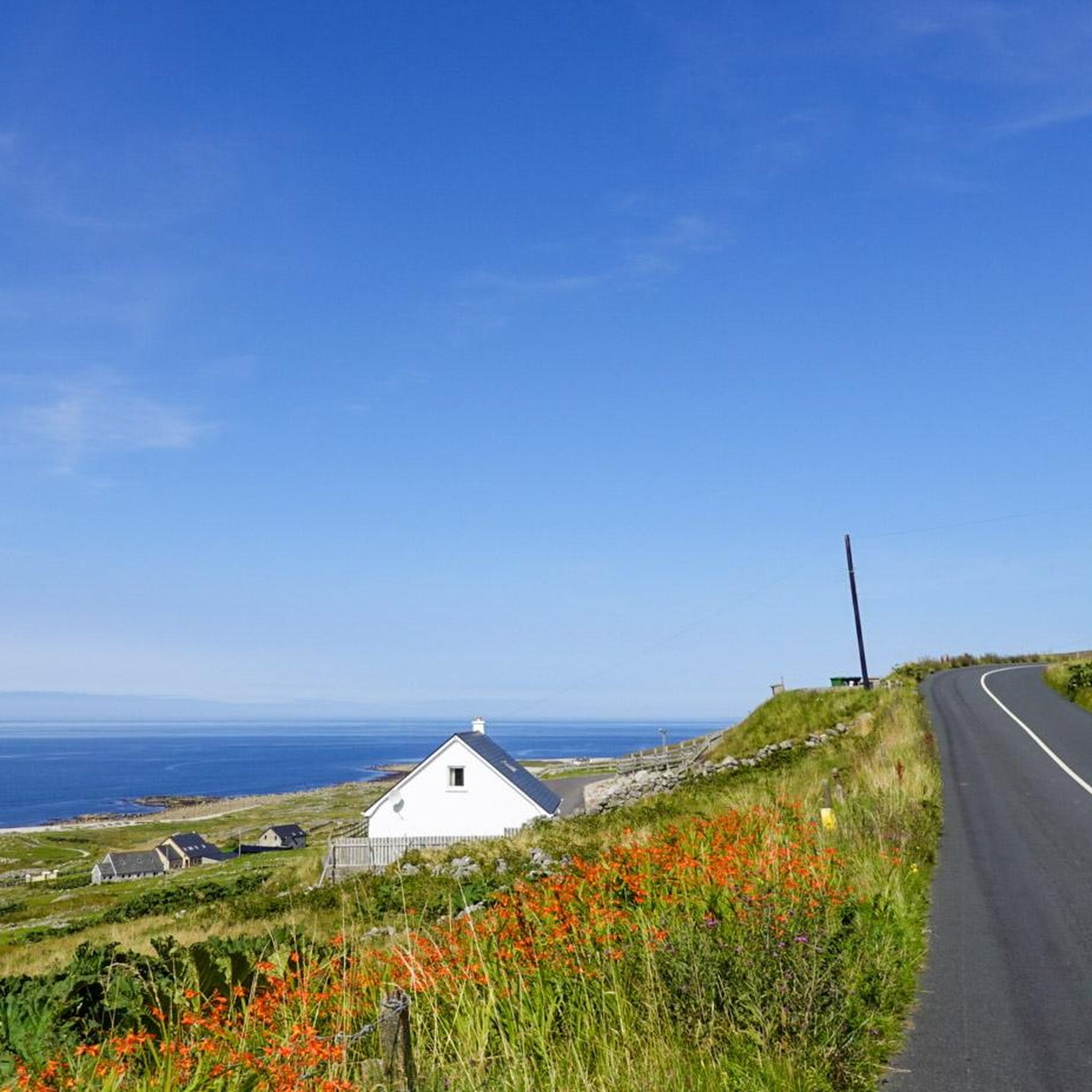
Road Cycling Routes around Glenties Municipal District
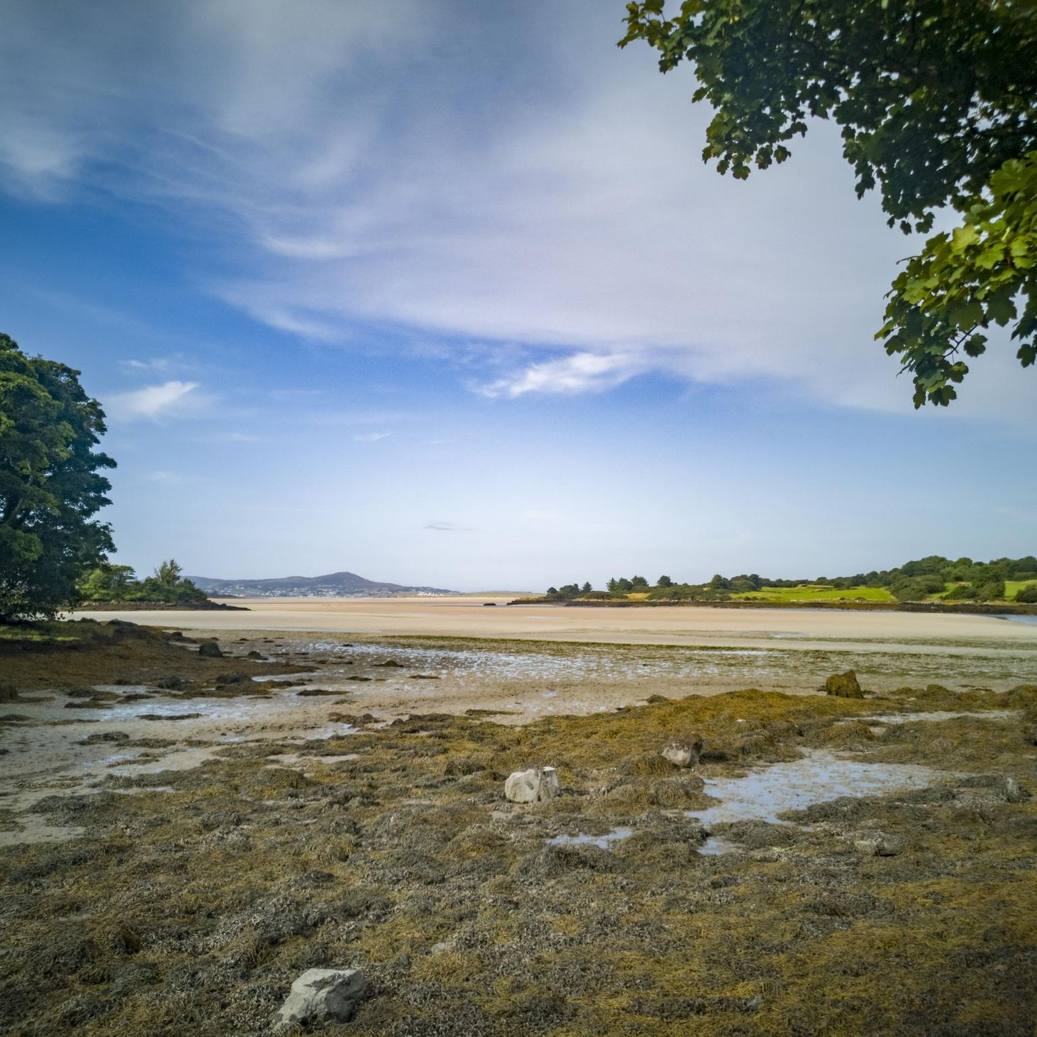
Road Cycling Routes around Letterkenny Municipal District
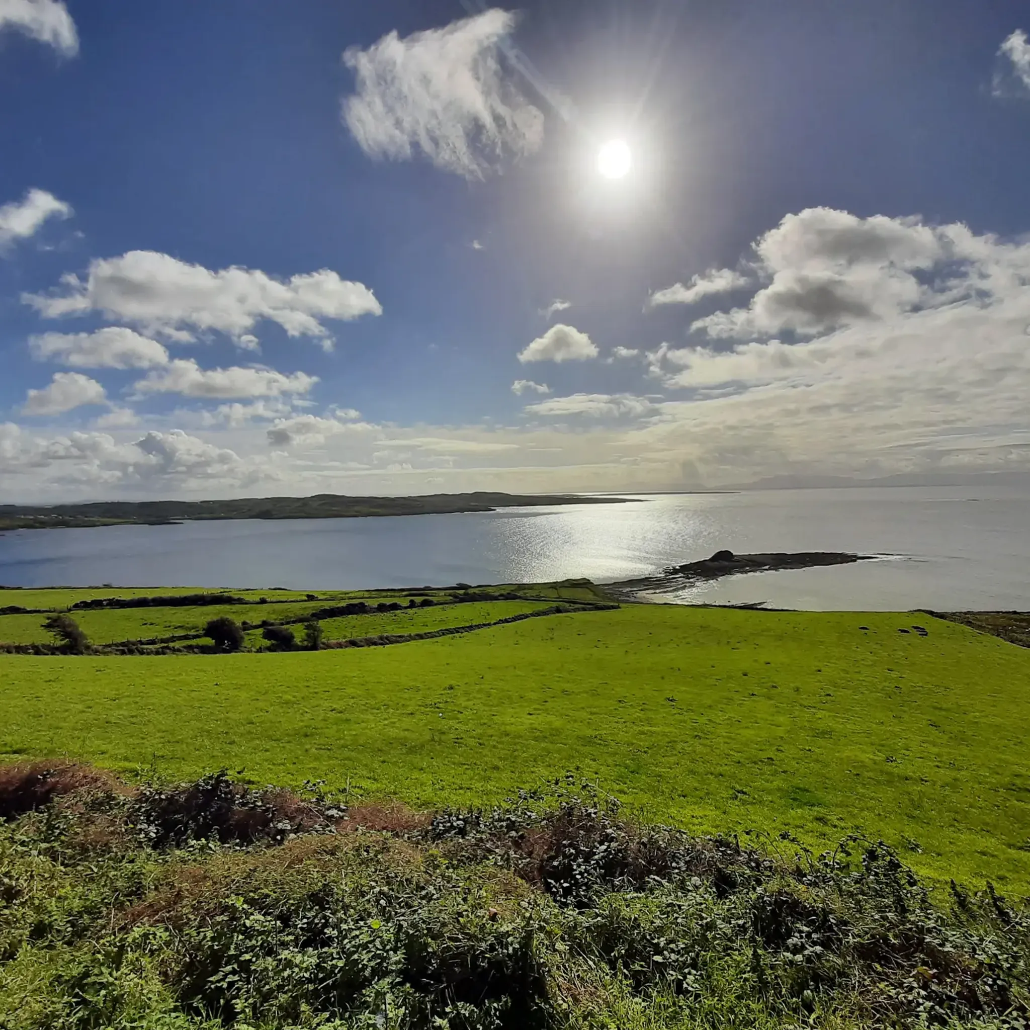
Road Cycling Routes around Donegal Municipal District
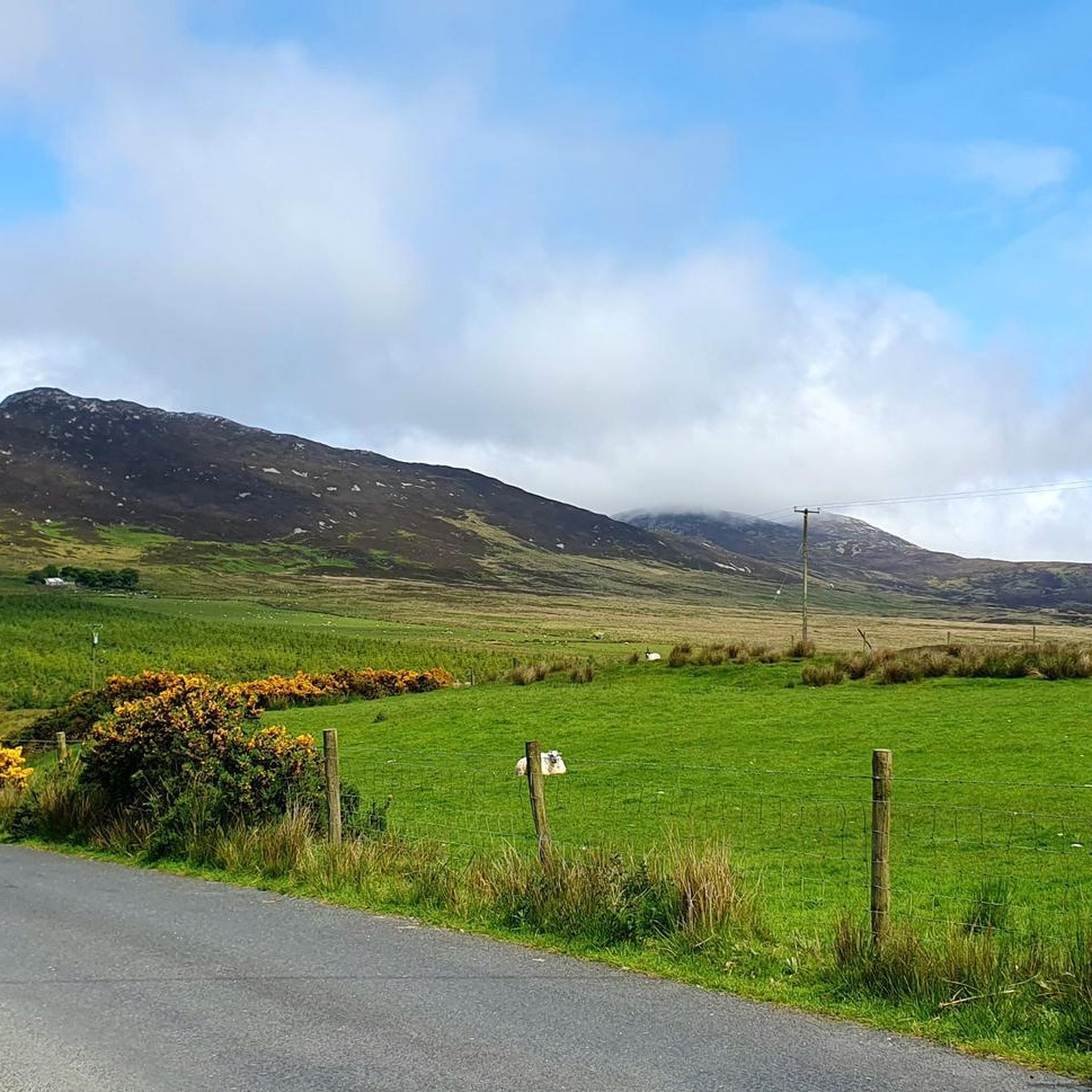
Road Cycling Routes around Inishowen

Road Cycling Routes around Gubnaguinie
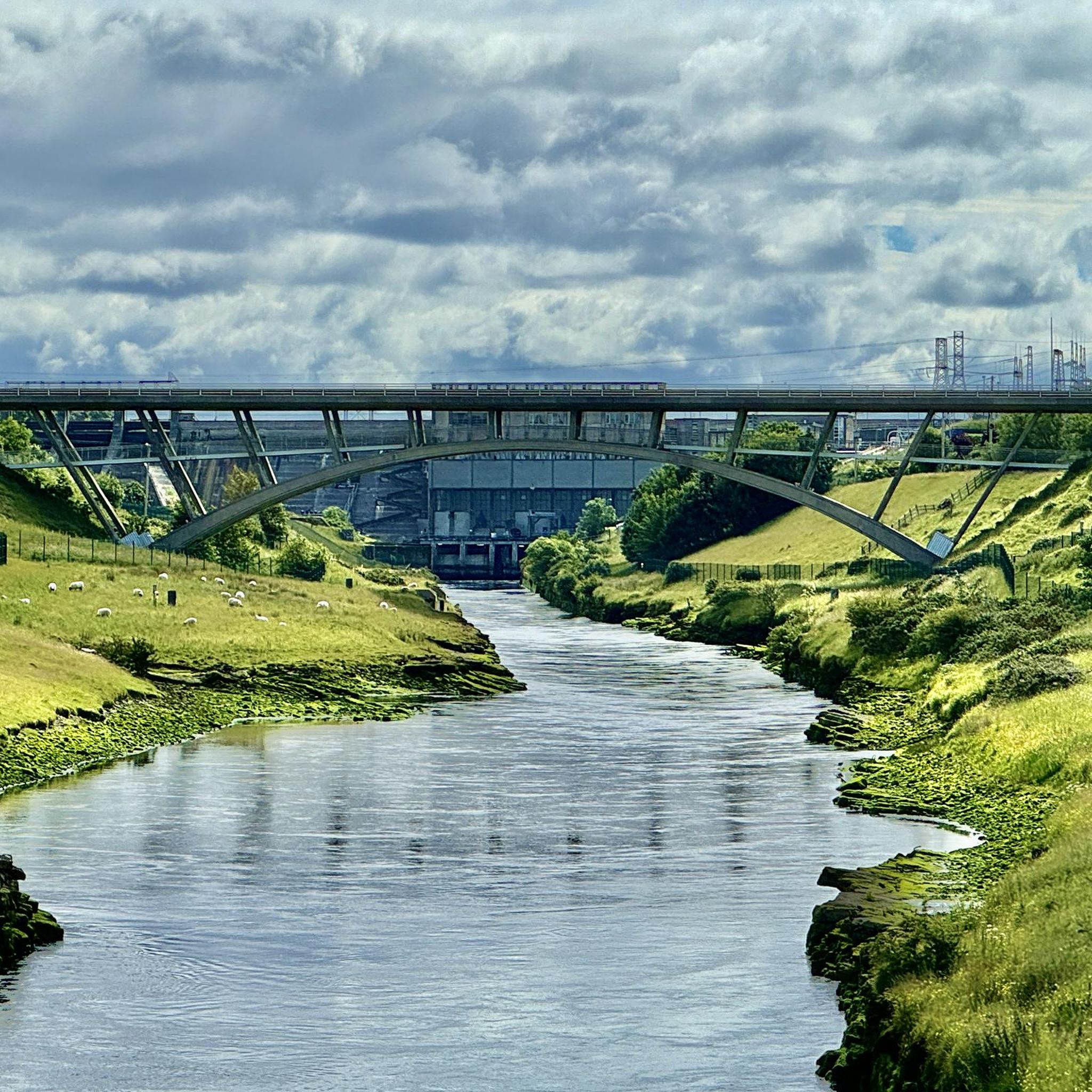
Road Cycling Routes around Lurganboy
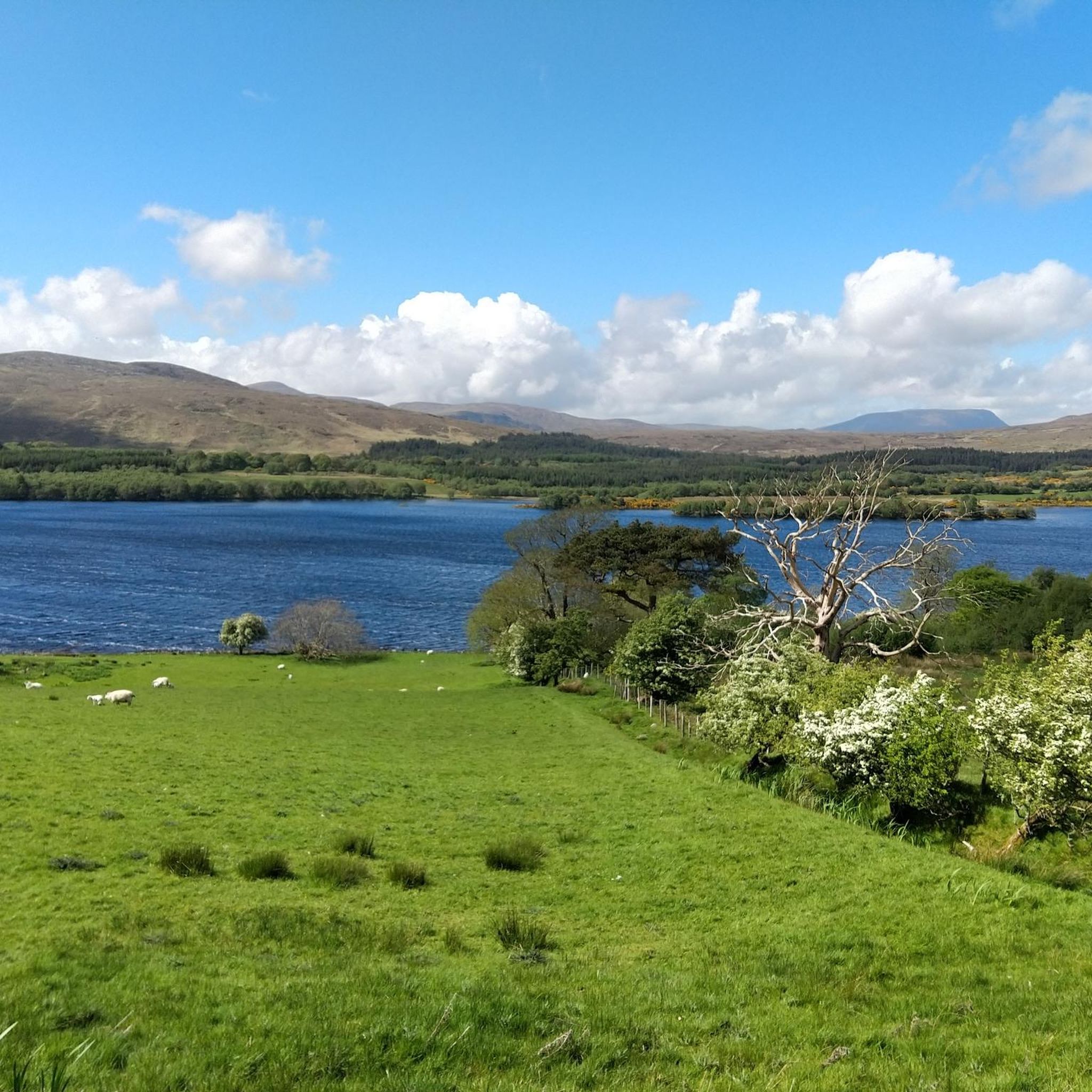
Road Cycling Routes around Lifford-Stranorlar Municipal District
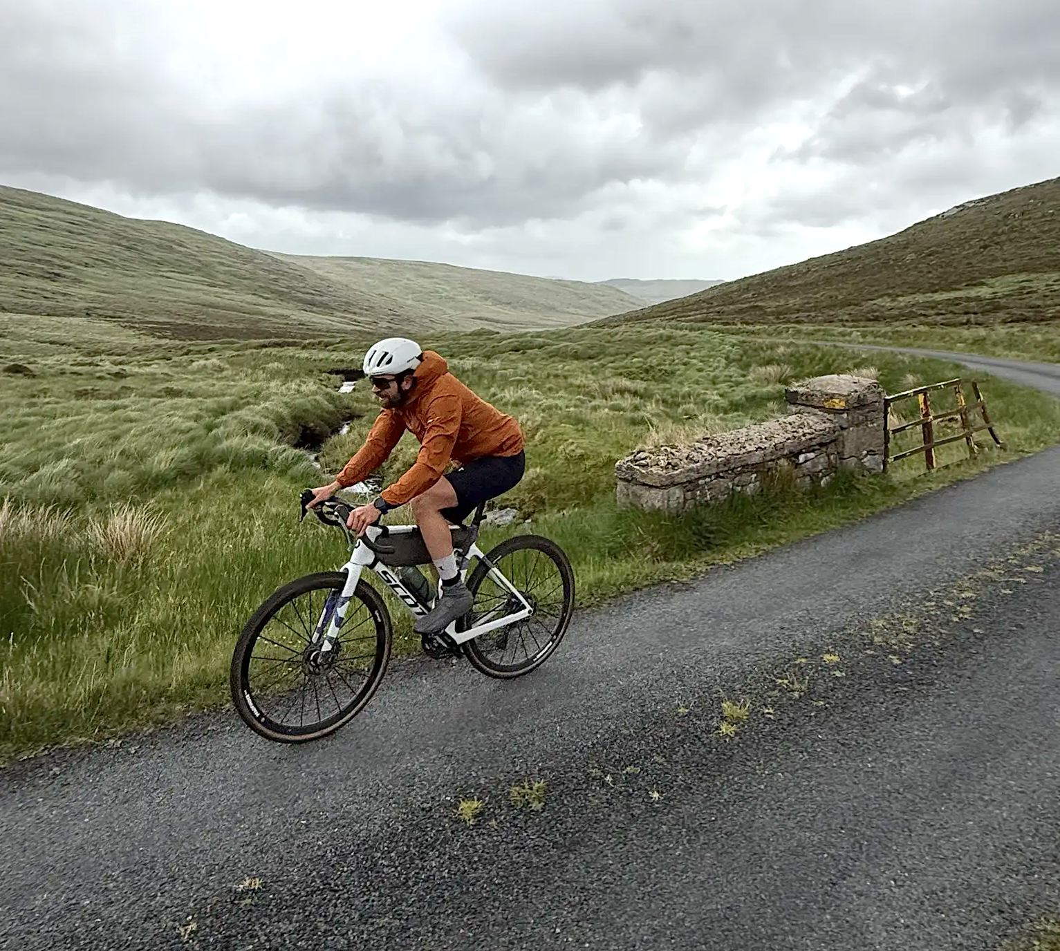
Cycling in County Donegal with Jonas Deichmann
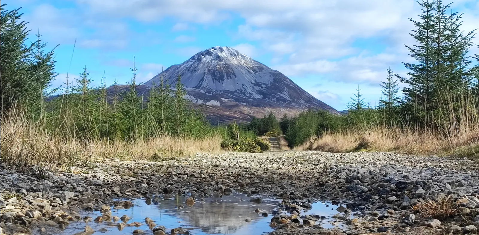
Slí An Earagail – An adventure between the Atlantic and Errigal
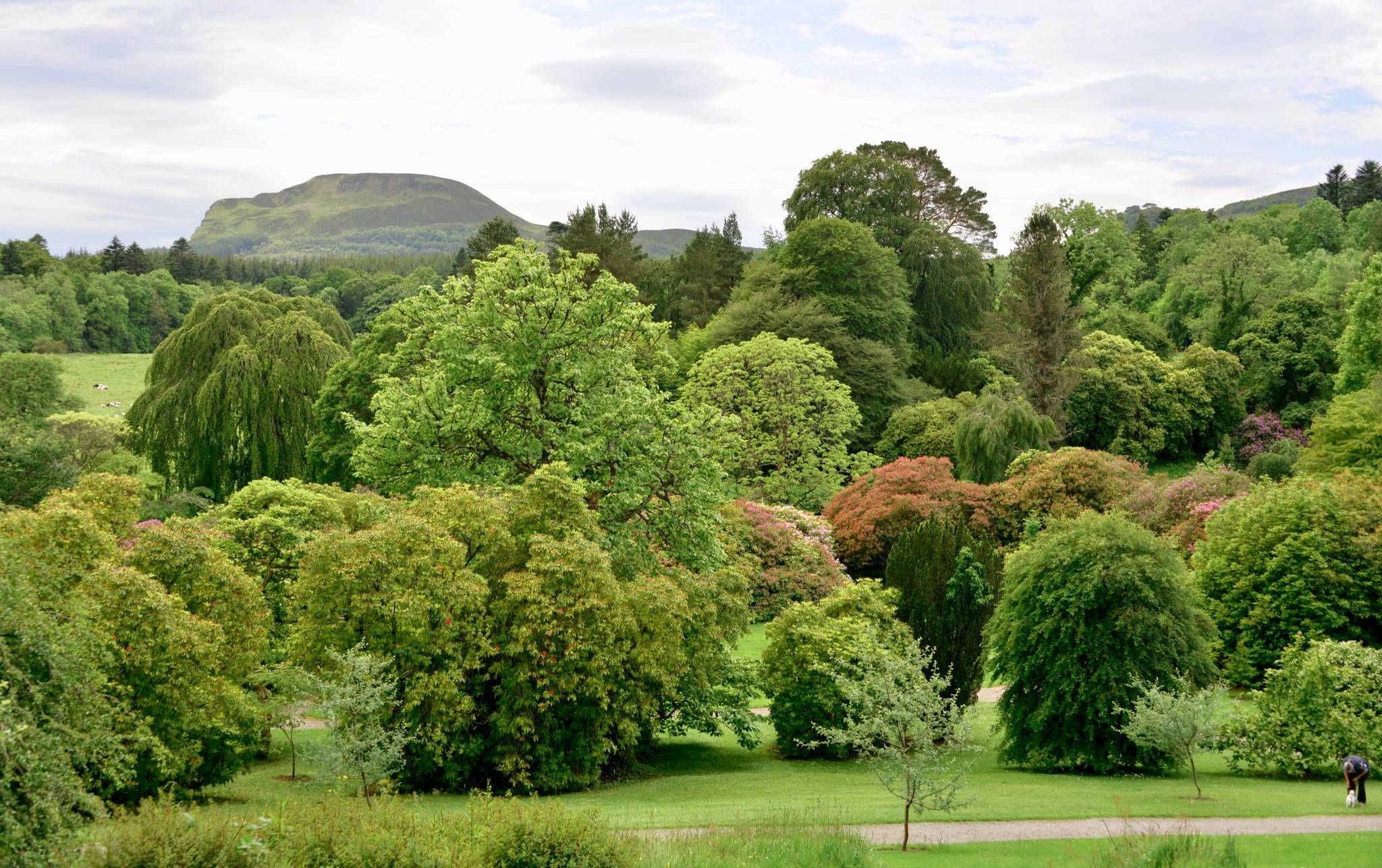
Kingfisher Trail – Explore Ireland's diverse history and nature by bike
Other adventures in Donegal


Tips from the Community

Very beautiful place. Definitely worth a visit.
1
0

This viewpoint along the spectacular coastal road offers a more intimate perspective on Ballymastocker Strand. As you cycle or walk down (or up) the flanks of the Knockalla Mountains, this is the perfect spot to truly experience the scale of this enormous sandy beach. You are looking straight across the Magherawarden dunes towards the distant contours of the Fanad lighthouse. The colours of the bay – from deep blue to crystal clear turquoise – are beautifully showcased at this height against the backdrop of white sand.
5
0
The pier at Portsalon is one of the most photogenic spots in Donegal. From this historic stone quay, you have an unforgettable view of the famous golden arch of Ballymastocker Bay, once named the second most beautiful beach in the world by The Observer. The pier is the vibrant heart of the village; you'll often see local fishing boats docking here and in the summer it's a popular spot for a refreshing dip in the clear waters of Lough Swilly.
5
0
The Visitor Centre at Fanad Head Lighthouse is the starting point for one of the most iconic locations along the Wild Atlantic Way. From here, you can walk to the lighthouse and get an impressive view of the cliffs and the Atlantic Ocean. The centre provides information about the history of the lighthouse, shipping, and the surrounding area. The combination of rugged coast, clear light, and the sound of the ocean makes this an ideal place to take a break, take photos, or visit the lighthouse before continuing your drive towards Ballyhiernan Bay or Mulroy Bay.
5
0
In my opinion, this is one of the less beautiful stretches of road you can encounter here. The asphalt is fine, the road is flat and straight. The view is nil, or was I spoiled on the Wild Atlantic Way (S=>N)?
6
0
This official Discovery Point on the Wild Atlantic Way offers one of the most serene views in North Donegal. From this point, you look out over the sheltered waters of Mulroy Bay and the small, low-lying Island Roy (Oileán Ruaidh). The island is unique as it is connected to the mainland by a narrow causeway, which is sometimes submerged at high tide. On a clear day, the view stretches to the sand dunes of Rosapenna and the distant peaks of the Derryveagh Mountains, including the striking Muckish Mountain.
6
0
The Harry Blaney Bridge is not only an engineering feat but also one of the most spectacular viewpoints along the Wild Atlantic Way. This 340-meter-long bridge was opened in 2009 and replaced a ferry connection that had been out of service since the 1960s. As you cross Mulroy Bay, you will enjoy a sweeping panorama of the bay, the surrounding islands, and the distant mountains of Donegal. For cyclists and walkers, it is an absolute must to stop at the official viewpoint on the north side (Fanad side) for the best photo opportunities.
6
0
Rossguill lies between Fanad to the east and Horn Head to the west, a narrow peninsula where heather, dunes, and ocean alternate. The coastline is open and slightly curved, with calm beaches and low ridges that constantly offer new views of Mulroy Bay and the Atlantic side. The roads run close to the water and through small, scattered settlements, making the landscape feel both vast and intimate. It is an area defined primarily by light, wind, and the open space of North Donegal.
7
0
Frequently Asked Questions
How many road cycling routes are available in Donegal?
Donegal offers a wide selection of road cycling routes, with over 430 routes available on komoot. These range from easy coastal loops to challenging mountain climbs, catering to various skill levels.
What kind of terrain can I expect when road cycling in Donegal?
Donegal's terrain is incredibly diverse, featuring rugged coastlines, soaring sea cliffs, serene loughs, and majestic mountains. You'll find an extensive network of quiet country roads, offering both challenging climbs, such as those found in mountain passes like Mamore Gap, and gentler gradients through remote valleys and along picturesque coastal routes.
Are there family-friendly road cycling routes in Donegal?
Yes, Donegal has several routes suitable for families looking for an easier ride. An excellent option is Carrigart, Downings and Ganiamore loop, an easy 16.8-mile (27.0 km) coastal path on quiet roads. Another easy route is Malin Head Loop, which is 21.1 miles (33.9 km) and offers stunning sea views at Ireland's most northerly point.
What are some notable viewpoints or attractions along road cycling routes in Donegal?
Donegal's routes are rich with scenic viewpoints and attractions. You can cycle past the iconic Slieve League Cliffs, among Europe's highest sea cliffs, or enjoy the dramatic coastal scenery around Malin Head. Many routes also offer views of Mount Errigal, Donegal's most iconic mountain, or pass through the stunning Glenveagh National Park, home to Glenveagh Castle Gardens.
Are there any circular road cycling routes in Donegal?
Yes, many of Donegal's road cycling routes are designed as loops, allowing you to start and end in the same location. Examples include Carrigart, Downings and Ganiamore loop, The Rosses Loop, and the challenging Loop to Fanad Lighthouse and Rossguill Peninsula.
What is the best time of year for road cycling in Donegal?
The best time for road cycling in Donegal is generally from late spring to early autumn (May to September). During these months, you can expect milder temperatures, longer daylight hours, and generally more stable weather conditions, making for a more enjoyable experience on the quiet country roads and coastal routes.
What do other road cyclists enjoy most about road cycling in Donegal?
The area is highly rated by the komoot community, with an average score of 4.3 stars from over 60 reviews. Cyclists frequently praise the dramatic and diverse scenery, from rugged coastlines to majestic mountains, and the extensive network of quiet country roads that offer a sense of escape and tranquility.
Are there challenging road cycling routes with significant elevation in Donegal?
Absolutely. Donegal offers routes with significant elevation gains for experienced cyclists. For instance, the Glenveagh, Gweedore and Crolly from Dungloe route covers 56.2 miles (90.4 km) with over 960 meters of elevation gain. Another challenging option is the Killybegs, Cashel and Ardara from Frosses route, which features over 1200 meters of climbing.
Can I find long-distance road cycling routes in Donegal?
Yes, Donegal is integrated into larger cycling networks, including a section of the EuroVelo 1 – Atlantic Coast Route and the North West Cycle Trail, providing opportunities for long-distance touring. You can find routes like the Loop to Fanad Lighthouse and Rossguill Peninsula, which is over 62 miles (100 km) long, offering extensive exploration of the region's coastal beauty.
Are there specific routes that feature the Harry Blaney Bridge?
Yes, the Harry Blaney Bridge is a notable landmark on some scenic routes. The Ramelton to Portsalon and Harry Blaney bridge route is a 46.7-mile (75.2 km) trail that prominently features this impressive bridge along with coastal views.
What are the road conditions like for cycling in Donegal?
Donegal is known for its extensive network of small, peaceful back roads, which generally offer enjoyable cycling experiences with minimal traffic. While many roads are well-maintained, some quieter country lanes may have varying surfaces. Cyclists can expect a mix of good tarmac and occasionally rougher patches, especially on more remote routes.
Are there any routes that pass through the Inishowen Peninsula?
The Inishowen Peninsula is a fantastic area for road cycling in Donegal. You can explore routes like From Doagh Strand to Mamore Gap and Carndonagh loop, which takes you through this legendary region, including the strenuous climb of Mamore Gap with its panoramic views.
Where can I find more information about cycling in Donegal?
For additional resources and information on cycling in Donegal, you can visit the official Go Visit Donegal website. They provide details on various routes and cycling opportunities in the region: Donegal Cycle Route and Cycling in Donegal.
Most popular routes in Donegal
Most popular attractions in Donegal

Get inspired with the komoot mobile app


Didn’t find what you were looking for?
Check out more Road cycling routes throughout Donegal below and find the perfect route in your destination.
Explore more
Browse the best Road cycling routes in other regions.
