The best road cycling routes around Hils
4.5
(495)
3,203
riders
250
rides
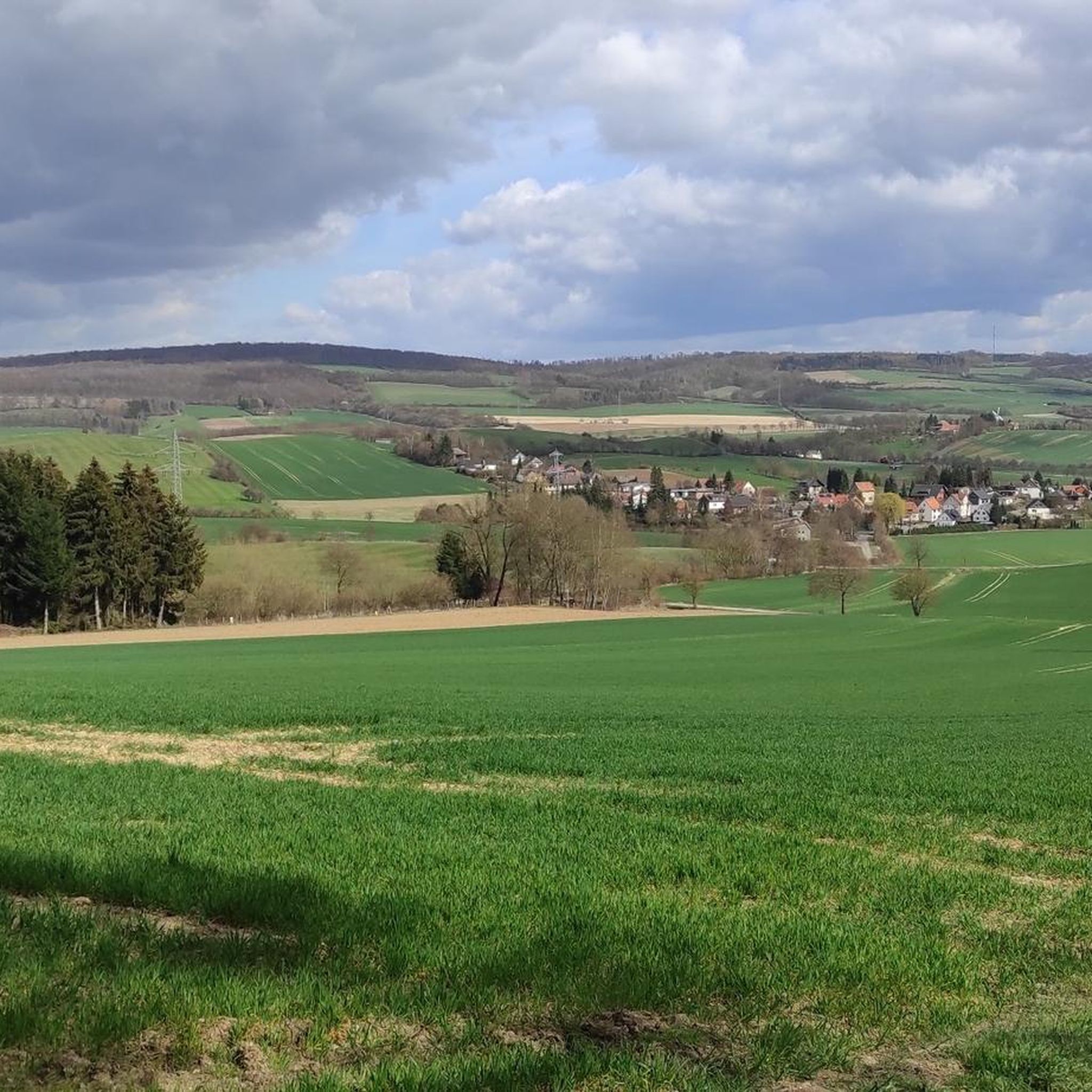
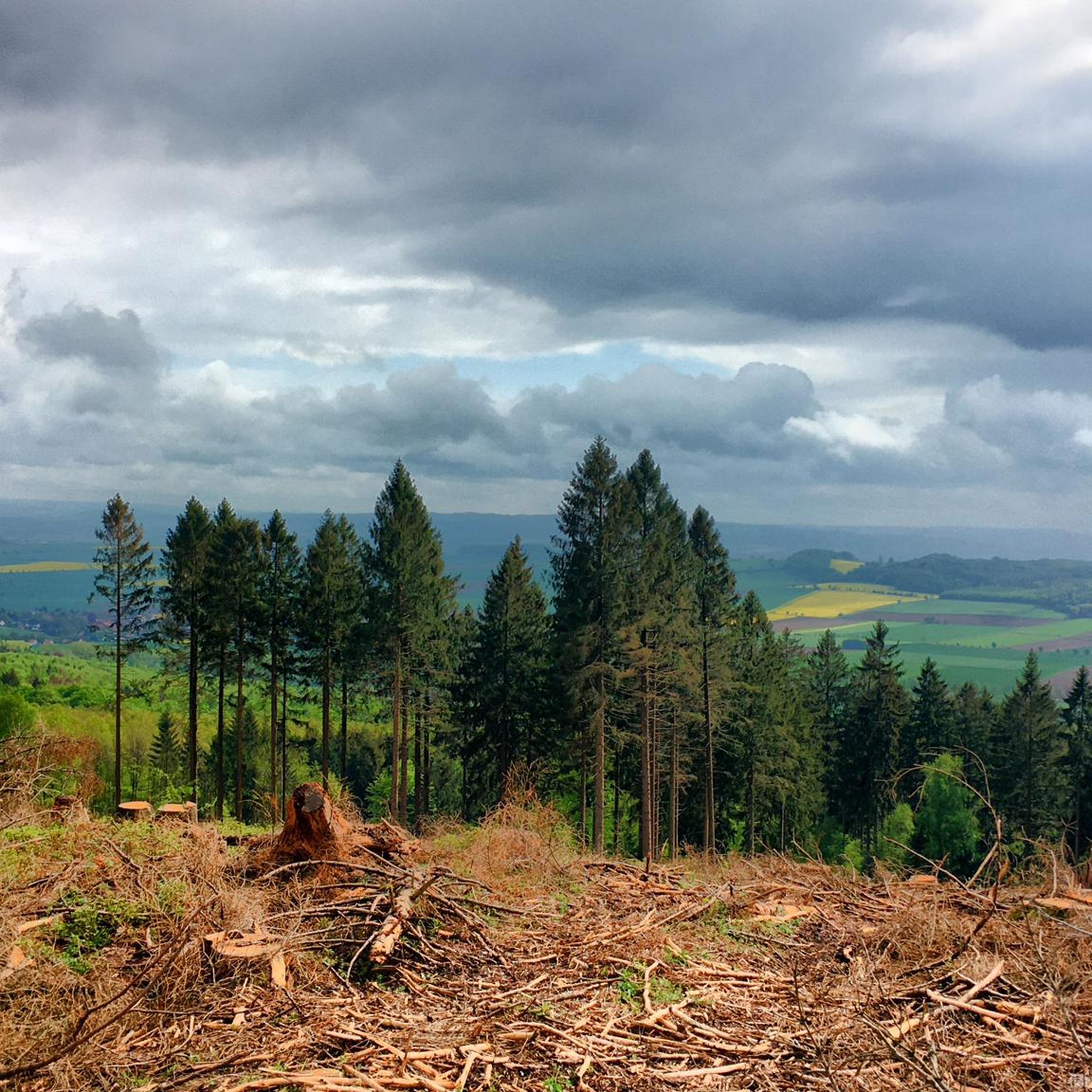
Road cycling routes around Hils traverse a landscape characterized by heavily forested massifs, rolling hills, and gentle valleys within Germany's Central Uplands. The region offers varied terrain with constant elevation changes, providing opportunities for challenging rides. Well-maintained country lanes and side roads with minimal traffic are common, ensuring a focused cycling experience. This environment is suitable for road cyclists seeking both scenic routes and significant climbs.
Best road cycling routes around Hils
- The most popular road cycling route is Leine…
Last updated: October 11, 2026
4.7
(3)
22
riders
Moderate road ride. Great for any fitness level. Some segments of this route may be unpaved and difficult to ride.
4.4
(14)
44
riders
48.7km
02:13
340m
340m
Moderate road ride. Good fitness required. Mostly well-paved surfaces and easy to ride.

4.0
(33)
9
riders
64.1km
02:47
350m
360m
Moderate road ride. Good fitness required. Some segments of this route may be unpaved and difficult to ride.
5.0
(1)
11
riders
30.9km
01:19
260m
260m
Easy road ride. Great for any fitness level. Mostly well-paved surfaces and easy to ride.
5.0
(1)
7
riders
25.3km
01:15
220m
220m
Easy road ride. Great for any fitness level. Mostly well-paved surfaces and easy to ride.
Get access to more routes and recommendations from other explorers.
Already have an account?
Our route recommendations are based on thousands of hikes, rides, and runs completed by other people on komoot.
Start today with a free account
Your next adventure awaits.


Tips from the Community

The St. Jakobi Church was built in 1738.
0
0

This lion sculpture is definitely remarkable. You can find more works of this kind in the town.
8
0

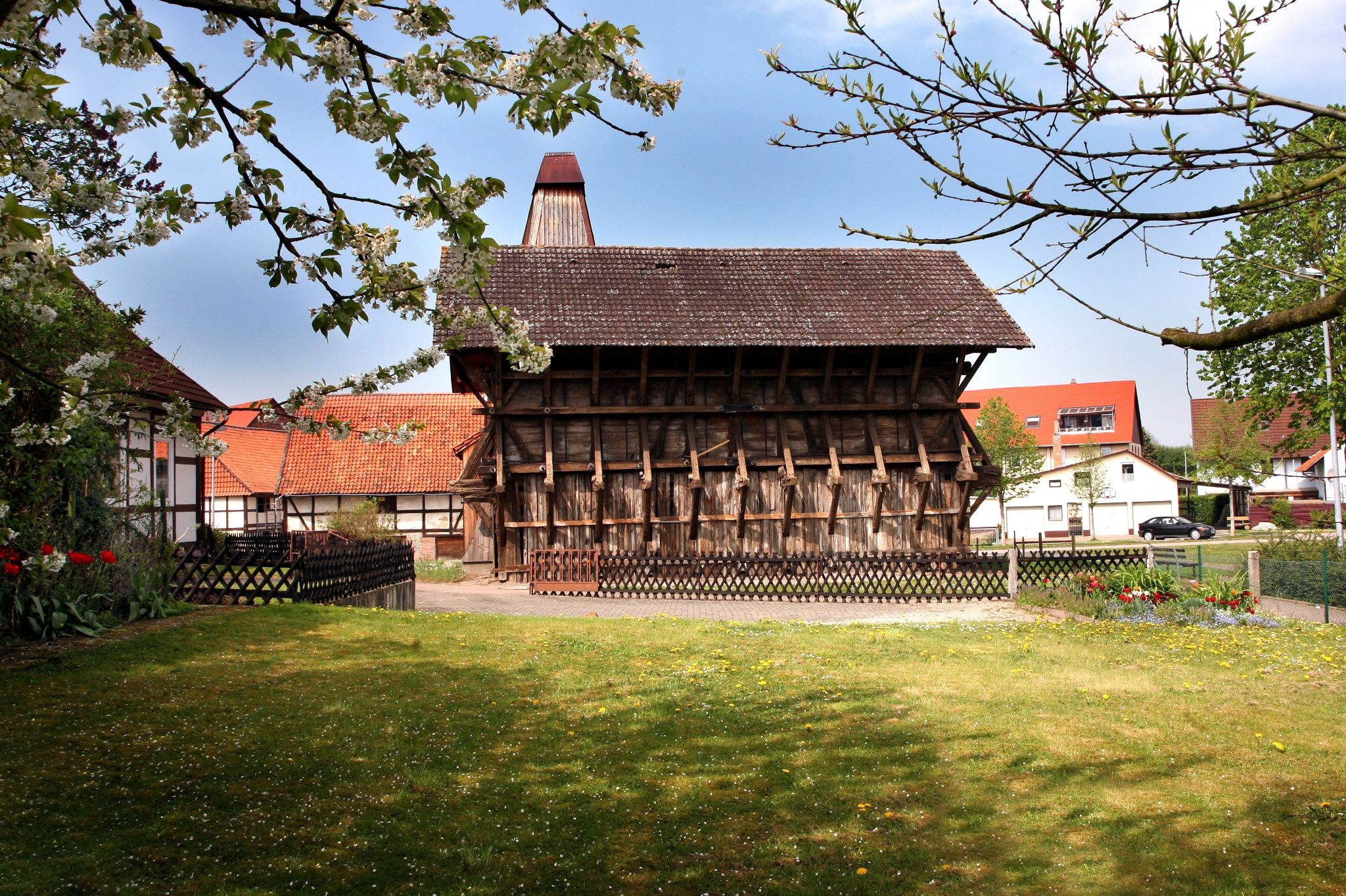
Beautiful, well-maintained little village near Einbeck.
1
0
In the heart of the village of Ammensen, right on the B3 highway, stands the small, charming village church. It was built in 1879/80 in the Neo-Gothic style using Hils sandstone. Its slender steeple marks the center of the village. Unfortunately, I found it closed.
8
0

Update. In the 90° bend before the bridge towards Wettensen and in the area of the southern access road there is a lot of gravel on the road.
0
0
New Asphaer cycle path to the Eimer Kreuz
0
0
good farm track between Röllinghausen and Alfeld.
0
0
Frequently Asked Questions
What kind of terrain can I expect when road cycling in Hils?
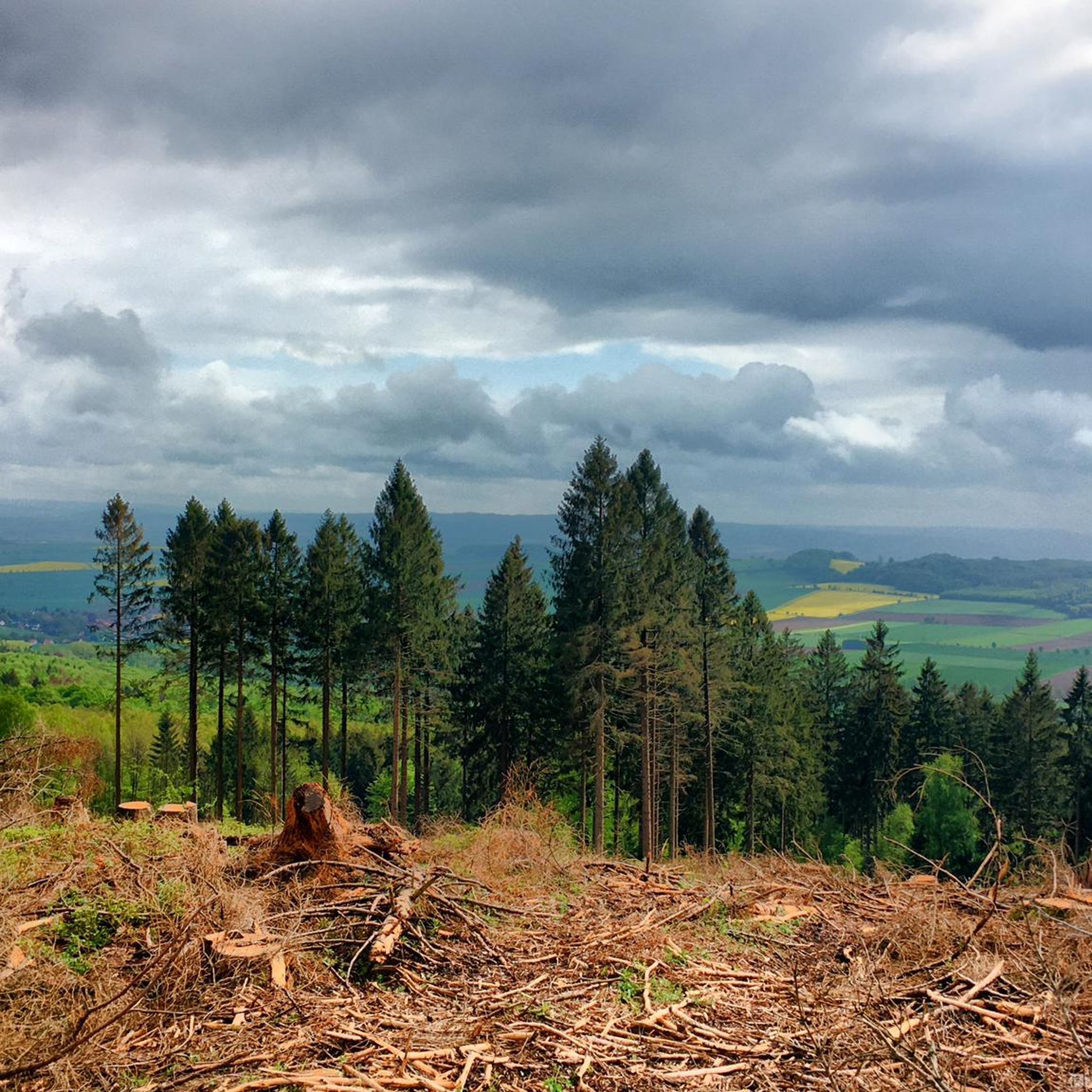
The Hils region offers a diverse landscape characterized by heavily forested massifs, rolling hills, and gentle valleys. You'll encounter constant ups and downs, providing opportunities for challenging rides with significant elevation changes. The roads are generally well-maintained country lanes and side roads with minimal traffic, making for a focused and scenic cycling experience through forests and varied natural features.
How many road cycling routes are available in Hils?
There are over 260 road cycling routes available in the Hils region. These routes cater to various skill levels, with options ranging from easy to difficult.
Are there routes for beginners or less experienced road cyclists in Hils?
Yes, Hils offers a good selection of routes suitable for beginners. There are 47 easy road cycling routes. An example of an easy route is the Ammensen Village Church – Kuventhal Village View loop from Delligsen, which covers about 30.9 km with moderate elevation gain.
Are there challenging road cycling routes in Hils?
Absolutely. The Hils region's hilly terrain provides ample opportunities for challenging rides. There are 41 difficult road cycling routes available, featuring significant climbs and descents that will test your endurance. The highest point in the Hils is the Bloße Zelle at 480.4 meters, offering a good benchmark for elevation.
What natural features or landmarks can I see while road cycling in Hils?
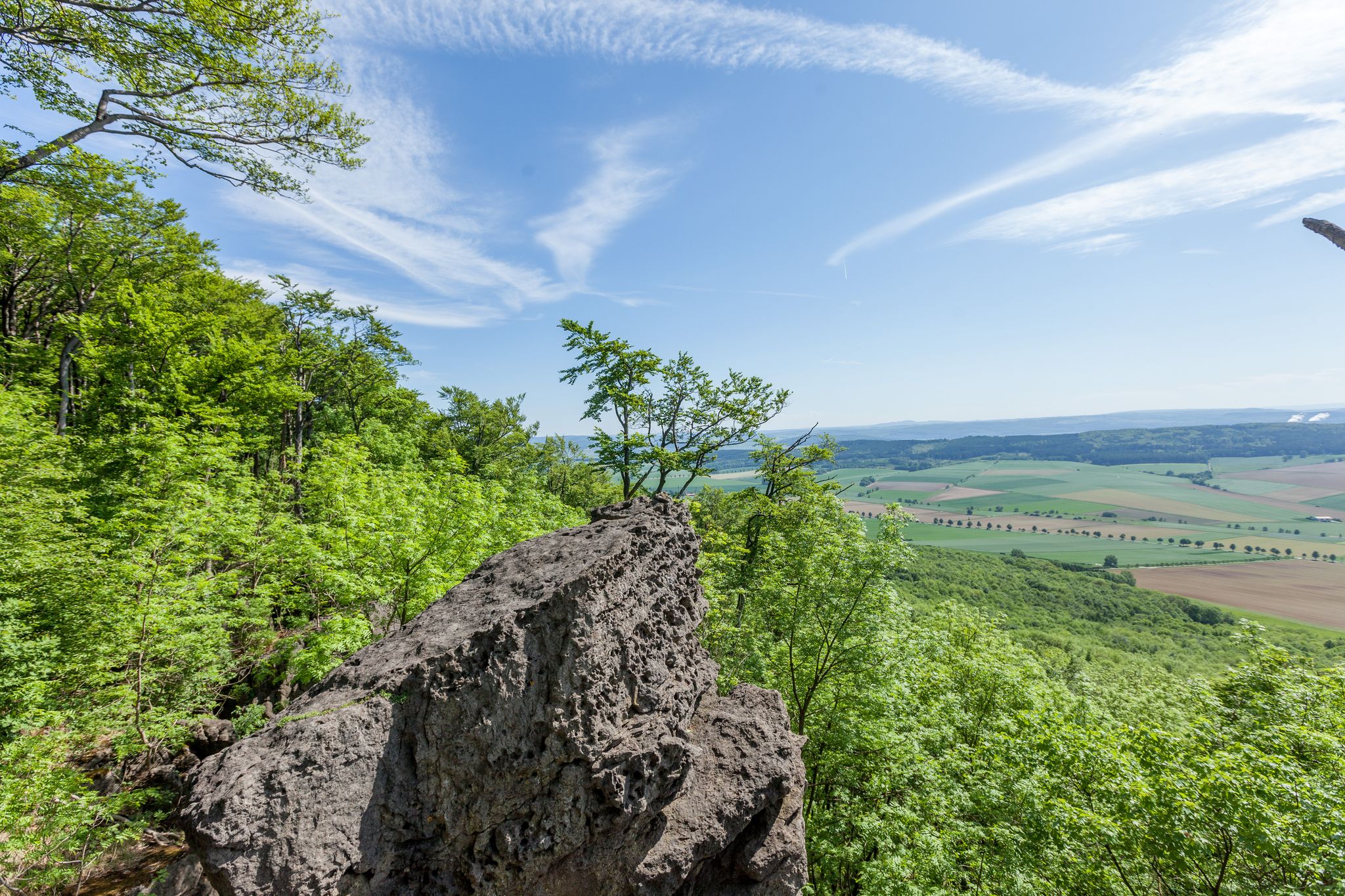
While road cycling in Hils, you can enjoy impressive rock formations, dense deciduous forests, and gentle valleys. The region is also home to several ponds and wetlands. For example, you might pass by the Glasebach Pond or the Hilsborn Pond. The broader area features unique geological formations like "Adam und Eva" and "Teufelsküche" along the Ith-Hils Trail, which are worth exploring if you venture off the road bike paths.
What is the best time of year for road cycling in Hils?
The best time for road cycling in Hils is generally during the spring, summer, and early autumn months when the weather is milder and the forests are lush. These seasons offer pleasant temperatures and optimal road conditions for exploring the region's varied terrain. Winter cycling might be possible but can be challenging due to colder temperatures and potential for ice or snow on roads.
Are there loop road cycling routes in Hils?
Yes, many of the road cycling routes in Hils are designed as loops, allowing you to start and end at the same point. An example is the Leine bridge Wettensen – The Seven Hills (Sieben Berge) loop from Amphibienbiotope Hohenbüchen, which is a popular 30.3 km route.
What do other cyclists say about road cycling in Hils?
The road cycling routes in Hils are highly rated by the komoot community, with an average score of 4.6 stars from over 460 reviews. Cyclists often praise the region's rolling hills, dense forests, and the variety of routes available for different ability levels. Over 3000 road cyclists have used komoot to explore Hils's terrain, highlighting its appeal.
Is Hils suitable for family-friendly road cycling?
While the Hils region is known for its rolling hills and elevation changes, there are easy routes that can be suitable for families, especially those with some cycling experience. Look for routes designated as 'easy' in the guide, which typically have less elevation gain and shorter distances. For example, the Half-Timbered Church of Eimen – Eschershausen Town Hall loop from Eimen is an easy 25.3 km route.
Are there any specific scenic road cycling routes in Hils?
Many routes in Hils offer scenic views due to the region's forested landscape and gentle valleys. The Descent With View of Alfeld – Leinewiesen Cycle Path loop from Delligsen is a moderate route that includes a descent with picturesque views of Alfeld and follows the scenic Leinewiesen Cycle Path. The interplay of forests and elevated points ensures a rich visual experience throughout the region.
What are the options for parking when road cycling in Hils?
While specific parking locations are not detailed in the general region information, road cycling routes in areas like Hils typically have designated parking areas at trailheads or in nearby towns and villages. It's advisable to check the starting point of your chosen route on komoot for specific parking recommendations or look for public parking facilities in the closest settlements.
Can I reach road cycling routes in Hils using public transport?
The Hils region is part of Germany's Central Uplands, and while specific public transport links directly to every trailhead are not always available, larger towns and villages within or near the Hils are typically served by regional bus or train services. You may need to plan your route to start from a location accessible by public transport, or consider a short ride from a public transport hub to your desired starting point.
Most popular routes around Hils
Most popular attractions around Hils

Get inspired with the komoot mobile app


Explore more
Browse the best Road cycling routes in other regions.
