The best walks and hikes around Brelinger Berge
4.6
(2699)
11,112
hikers
797
hikes
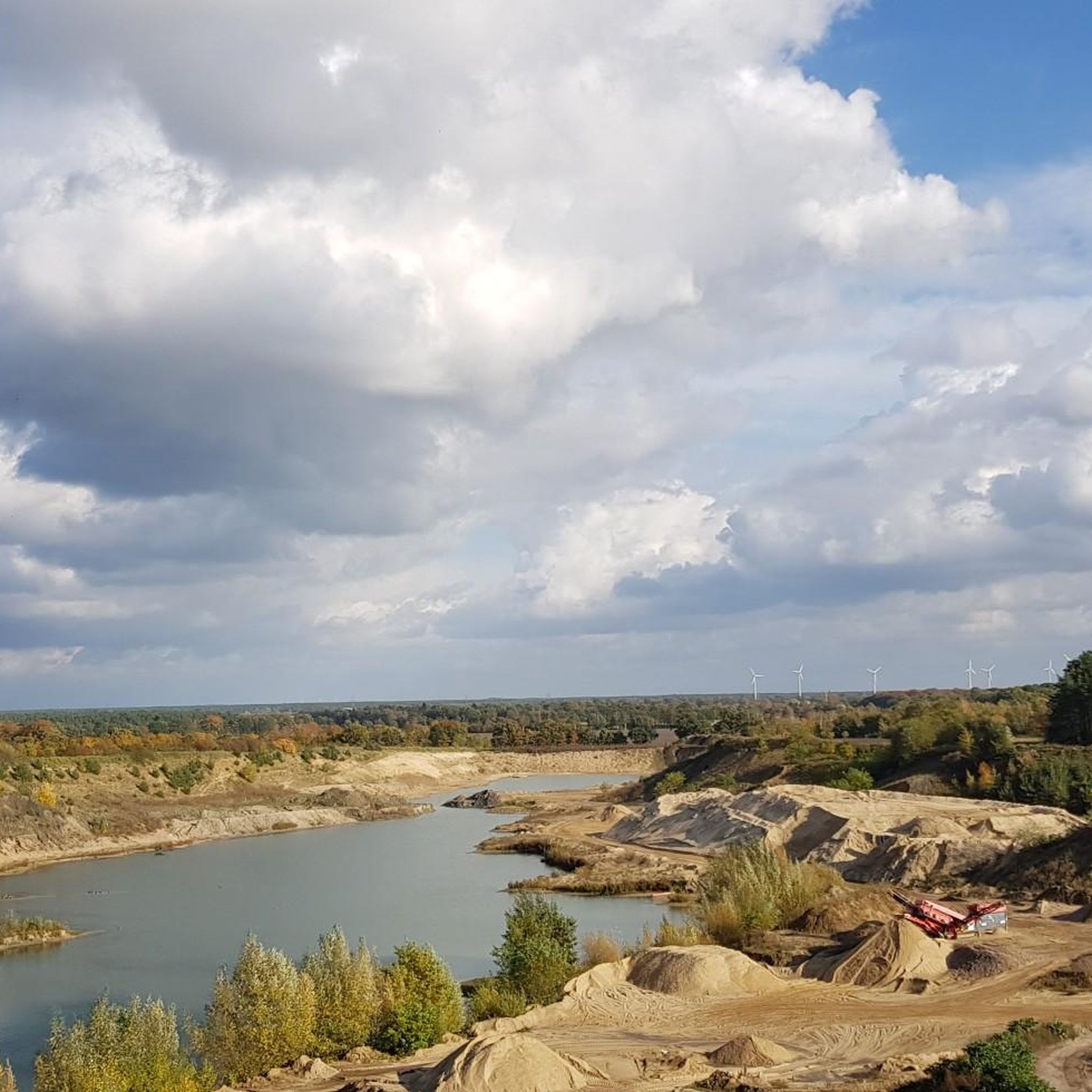
Hiking around Brelinger Berge, located north of Hanover, Germany, features diverse landscapes shaped by the Saale Ice Age, resulting in sand and gravel deposits. The region includes mixed forests, meadows, and former sand and gravel mining sites undergoing renaturation. The highest point, Brelinger Berg, reaches 92 meters above sea level. This evolving landscape provides varied scenery for outdoor activities.
Best hiking trails around Brelinger Berge
- The most popular hiking route is Brelinger Berg geo adventure trail, a 3.2 miles…
Last updated: May 15, 2026
4.6
(170)
588
hikers
5.17km
01:21
40m
40m
Moderate hike. Great for any fitness level. Mostly accessible paths. Sure-footedness required.
4.8
(152)
488
hikers
11.2km
02:56
90m
90m
Moderate hike. Good fitness required. Easily-accessible paths. Suitable for all skill levels.

Sign up for free
4.8
(17)
69
hikers
Easy hike. Great for any fitness level. Easily-accessible paths. Suitable for all skill levels.
4.6
(54)
110
hikers
Moderate hike. Good fitness required. Easily-accessible paths. Suitable for all skill levels.
4.7
(18)
43
hikers
Easy hike. Great for any fitness level. Easily-accessible paths. Suitable for all skill levels.
Get access to more routes and recommendations from other explorers.
Sign up for free
Already have an account?
Our route recommendations are based on thousands of hikes, rides, and runs completed by other people on komoot.
Start today with a free account
Your next adventure awaits.
Login or Signup
Tips from the Community

Great tour with kids. Hands-on Ice Age activities
0
0

This is one of 11 stations on a 5.5 km circular trail. The geological adventure trail combines scientific content with artistic design, as seen here in the lettering that runs along the outside of the metal plate.
0
0
Since 2007, NABU has maintained a 5-hectare site in the Brelinger Berge landscape conservation area in Wedemark. Bats also live here.
0
0

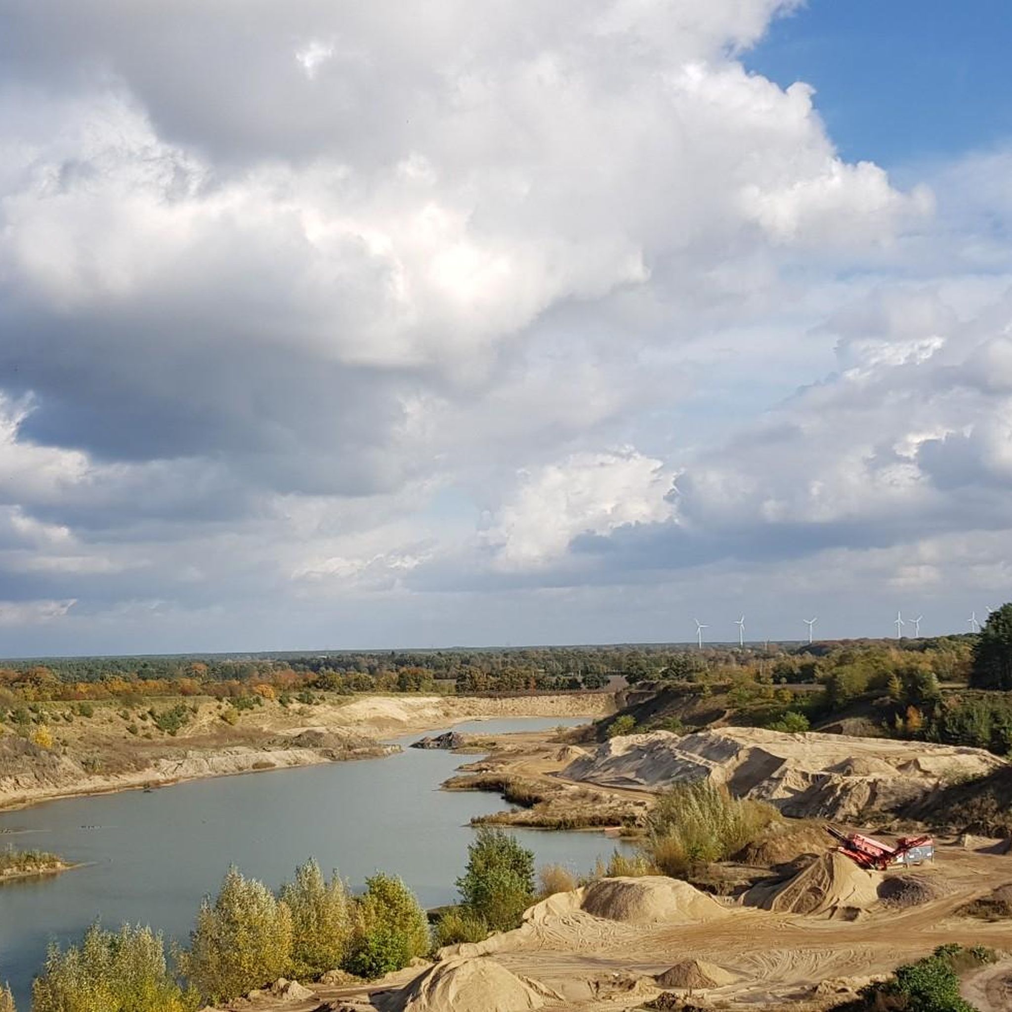
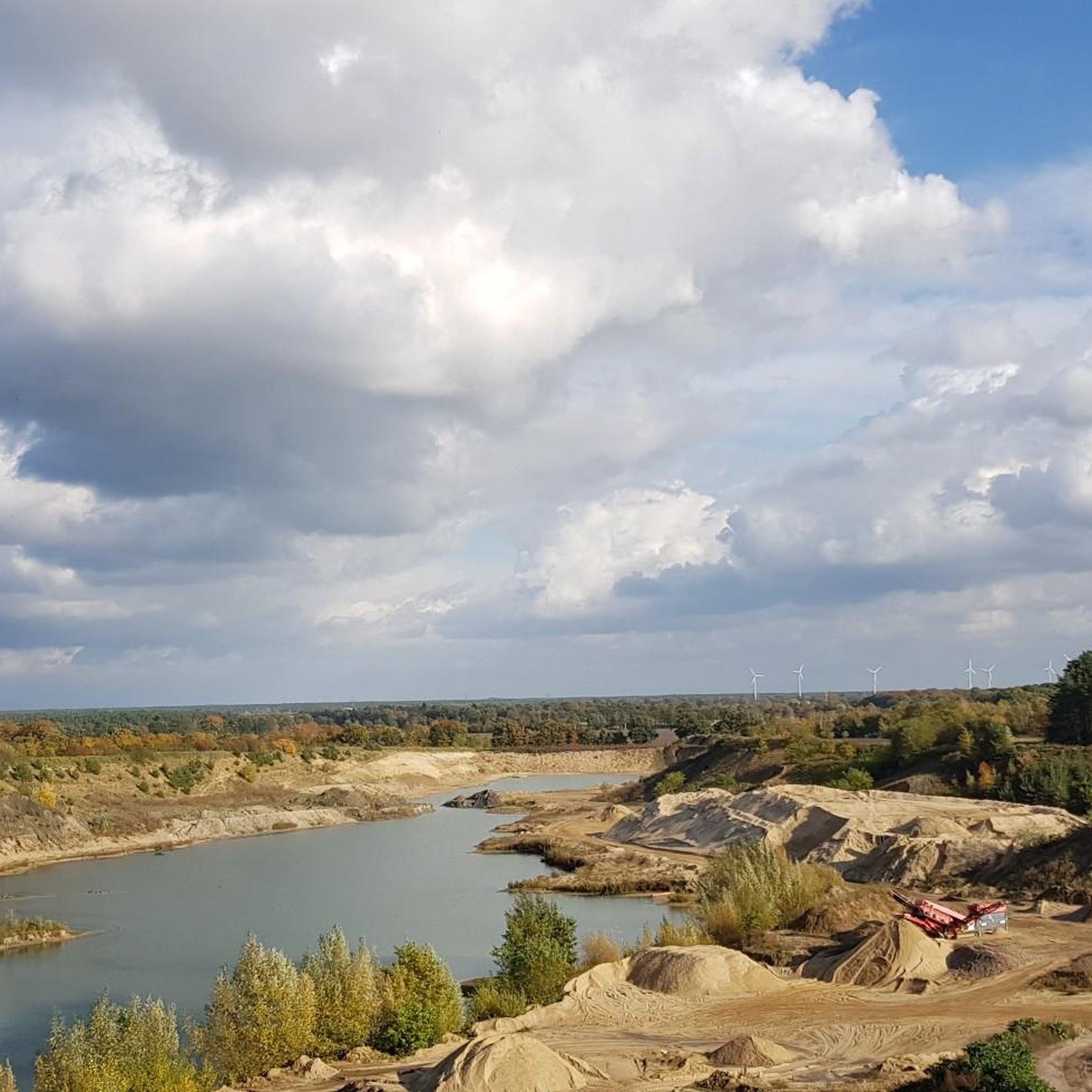
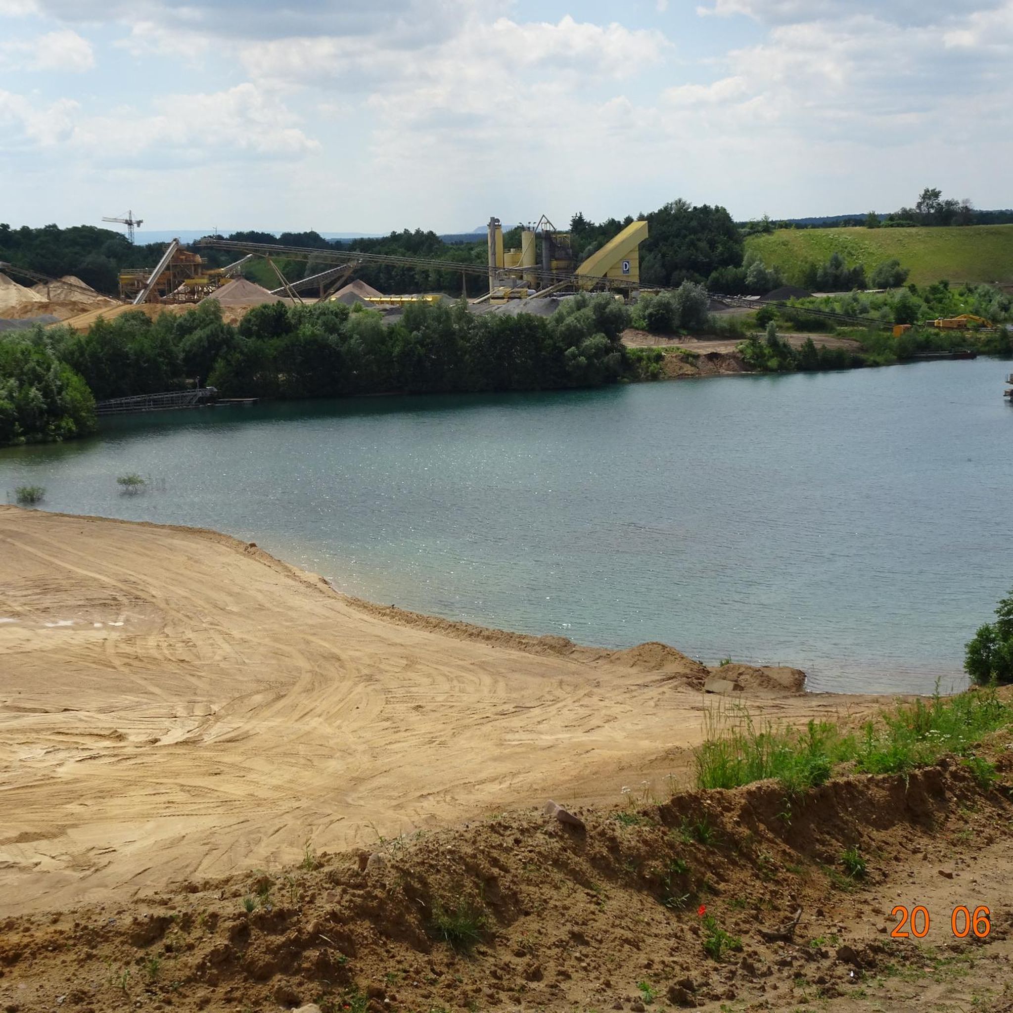
very nice viewing platform on the former gravel/sand pit with information board on the geo-adventure trail
0
0
The geological adventure tour around the sand pit is very nicely laid out and informative
2
0
beautiful view of the former gravel pit
0
0
definitely a photo stop with a fantastic view
0
0
Climbing the 92 m high Brelinger Berg is beautiful
3
0
Frequently Asked Questions
How many hiking trails are available in Brelinger Berge?
The Brelinger Berge area offers a wide variety of hiking opportunities, with over 760 routes recorded on komoot. These range from short, easy walks to more moderate excursions, ensuring there's something for every fitness level.
What kind of terrain can I expect when hiking in Brelinger Berge?
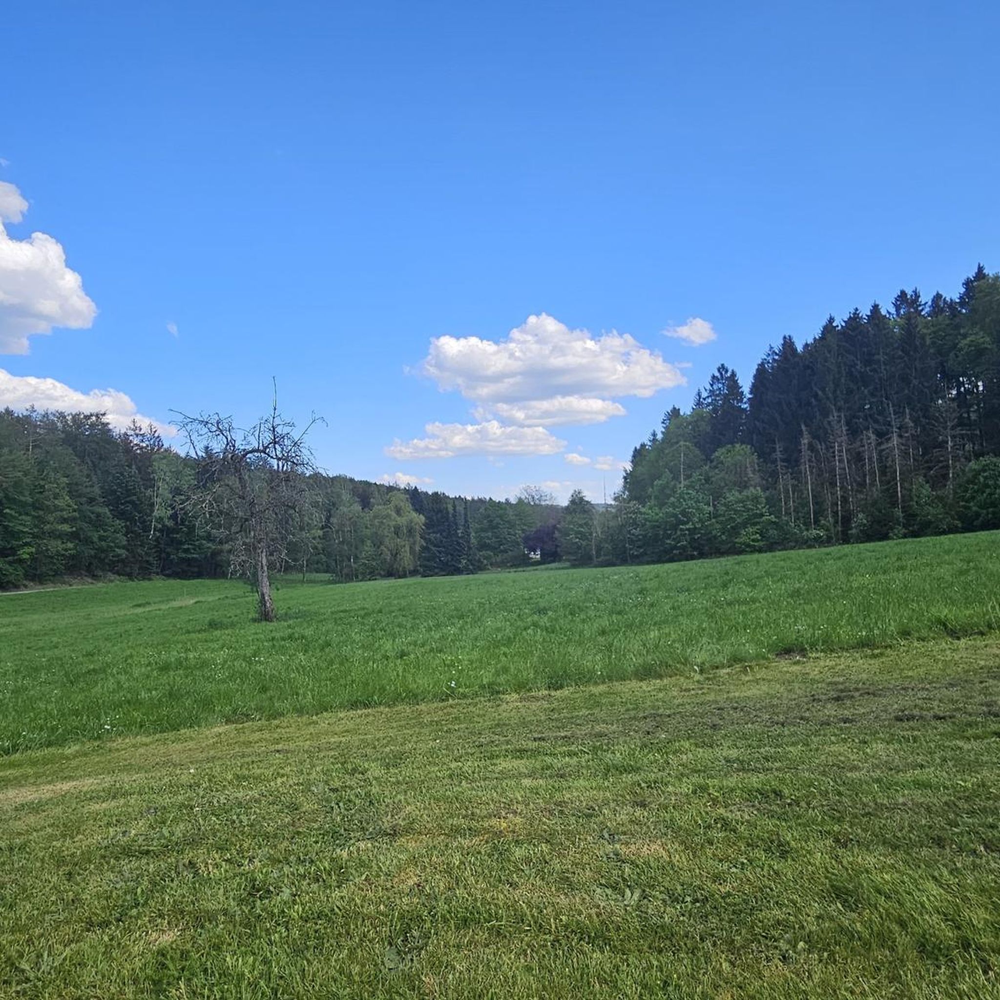
Hikers in Brelinger Berge can expect a constantly changing landscape. The area, shaped by the Saale Ice Age, features diverse terrain including mixed forests, open meadows, and even a large sandpit. While some paths may be sandy, they are generally well-maintained and accessible, offering a varied natural experience.
Are there any family-friendly hiking trails in Brelinger Berge?
Yes, Brelinger Berge is great for families! A particularly engaging option is the Brelinger Berg geo adventure trail. This 5.2 km circular route features eleven interactive stations that playfully explain the Ice Age and the geological history of the landscape, making it both educational and fun for all ages.
Can I bring my dog on the trails in Brelinger Berge?
Generally, dogs are welcome on the hiking trails in Brelinger Berge. However, as parts of the area are undergoing renaturation and host diverse wildlife, it's always recommended to keep dogs on a leash, especially in nature protection areas, to protect local flora and fauna.
Are there circular hiking routes available in Brelinger Berge?
Many of the trails in Brelinger Berge are designed as circular routes, allowing you to start and end at the same point. For example, the Oegenbostel Sand Pit loop from Quellwald bei Bennemühlen is a popular moderate 9.8 km path that takes you through varied landscapes, including a sand pit, before returning to your starting point.
What are some interesting natural features or landmarks to see while hiking?
Brelinger Berge offers several unique points of interest. You can explore the geological history at the Erratic Boulder Stack on the Geological Nature Trail or discover the Sound Stones on the Geological Adventure Trail. On the summit of the Brelinger Berg, you'll find the Gauss Stone, commemorating the land surveying by Carl Friedrich Gauß.
What is the best time of year to go hiking in Brelinger Berge?
Brelinger Berge is enjoyable year-round, but spring and autumn are particularly pleasant. In spring, the forests come alive with fresh greenery, while autumn offers vibrant foliage. Summer is also suitable, though some paths can be sandy. Winter hiking is possible, but check local conditions for snow or ice.
How difficult are the hiking trails in Brelinger Berge?
The trails in Brelinger Berge cater to various skill levels. The majority of routes are classified as easy (over 500 tours) or moderate (around 250 tours), making them accessible for most hikers. There are also a few more challenging options for those seeking a greater workout.
Where can I park my car when visiting Brelinger Berge for a hike?
Parking is generally available at common starting points for trails around Brelinger Berge. Many routes, such as the Baggersee Petite Canyon – Oegenbostel Sand Pit loop from Trafoturmgelände Brelingen, indicate parking options near their starting points. It's advisable to check the specific route details on komoot for designated parking areas.
Is it possible to reach the hiking trails in Brelinger Berge by public transport?
Yes, some starting points for hikes in Brelinger Berge are accessible by public transport, particularly from nearby towns like Wedemark. For instance, the View of the Brelinger Giant – Forst & Wald Information Point loop from Wedemark can be reached via public transport connections to Wedemark.
What makes the Brelinger Berge area unique for hiking?
The Brelinger Berge stands out due to its unique geological history, having been formed during the Saale Ice Age. This glacial past contributes to its varied terrain, which includes mixed forests, meadows, and sandpits. Ongoing renaturation efforts also highlight a commitment to restoring its natural beauty and biodiversity, offering a dynamic and evolving landscape for hikers.
What do other hikers say about the trails in Brelinger Berge?
The trails in Brelinger Berge are highly regarded by the komoot community, boasting an average rating of 4.7 stars from over 2,200 reviews. Hikers often praise the diverse scenery, the well-maintained paths, and the engaging educational elements found on trails like the Geo-adventure trail.
Are there any specific trails that offer good viewpoints?
Yes, for those seeking scenic vistas, the View of the Brelinger Giant – Forst & Wald Information Point loop from Wedemark is an excellent choice. This trail leads through mixed forests and offers opportunities to enjoy elevated views of the surrounding landscape, including the 'Brelinger Giant' area.
Most popular routes around Brelinger Berge
Most popular attractions around Brelinger Berge

Get inspired with the komoot mobile app


Explore more
Browse the best Hikes in other regions.
