The best running trails around Hohes Holz
3.9
(24)
475
runners
79
runs
Jogging around Hohes Holz offers a diverse landscape for outdoor activity. This sprawling forest area, located west of Magdeburg, is characterized by gently rising, wooded hills and a 1,500-hectare forest. The terrain provides varied routes, from gradual inclines to more challenging ascents, with the highest point reaching 208.8 meters. The region features a rich tree and plant population, including red beech and oak, contributing to a stimulating environment for runners.
Best jogging routes around Hohes Holz
- The most popular jogging…
Last updated: July 10, 2026
10
runners
6.87km
00:43
50m
50m
Moderate run. Good fitness required. Mostly paved surfaces. Suitable for all skill levels.
6
runners
12.2km
01:18
100m
100m
Moderate run. Good fitness required. Mostly paved surfaces. Suitable for all skill levels.

Sign up for free
8
runners
6.27km
00:39
40m
40m
Moderate run. Good fitness required. Mostly paved surfaces. Suitable for all skill levels.
7
runners
13.3km
01:23
110m
110m
Moderate run. Good fitness required. Mostly paved surfaces. Suitable for all skill levels.
5
runners
Moderate run. Good fitness required. Mostly paved surfaces. Suitable for all skill levels.
Get access to more routes and recommendations from other explorers.
Sign up for free
Already have an account?
Our route recommendations are based on thousands of hikes, rides, and runs completed by other people on komoot.
Start today with a free account
Your next adventure awaits.
Login or Signup

Tips from the Community

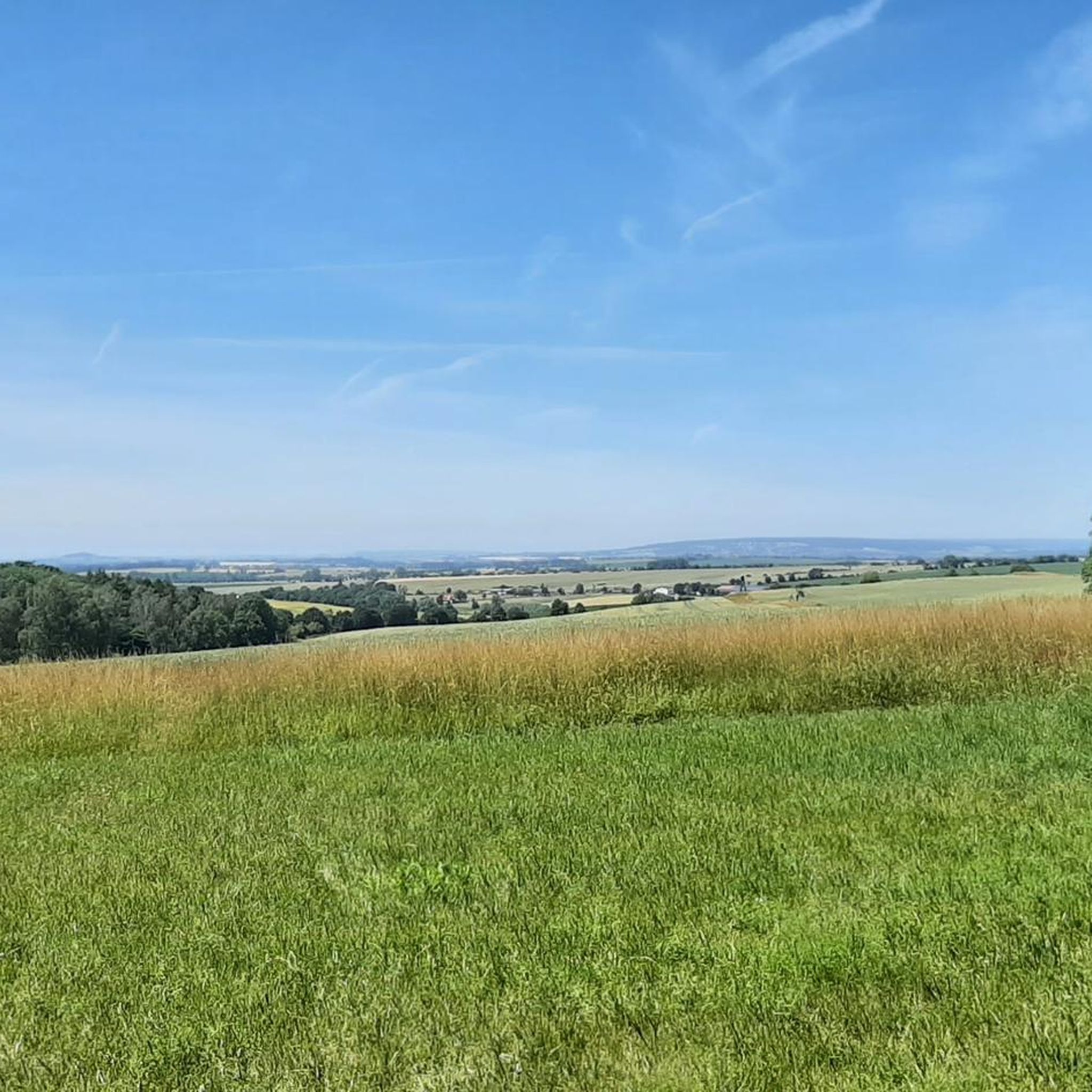
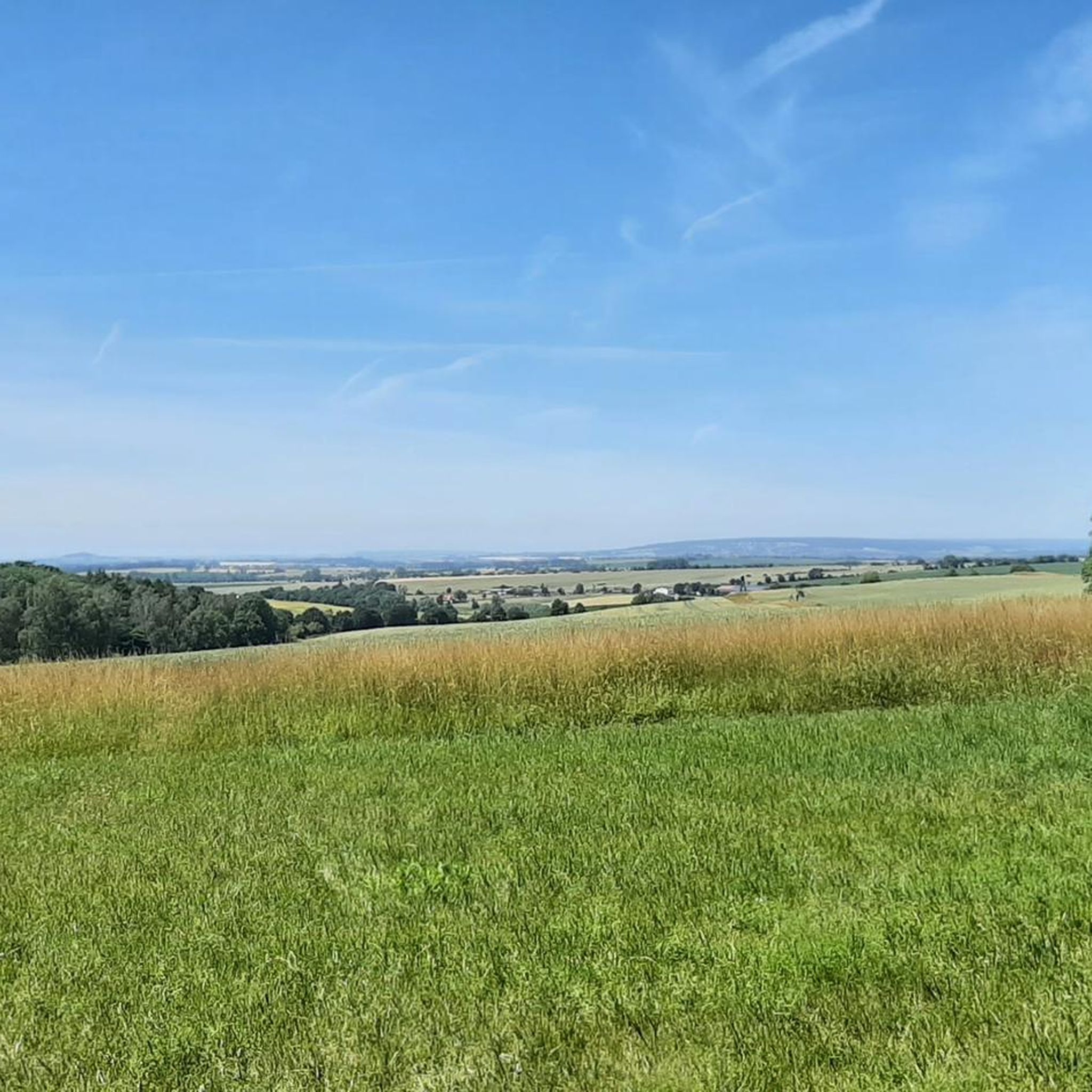
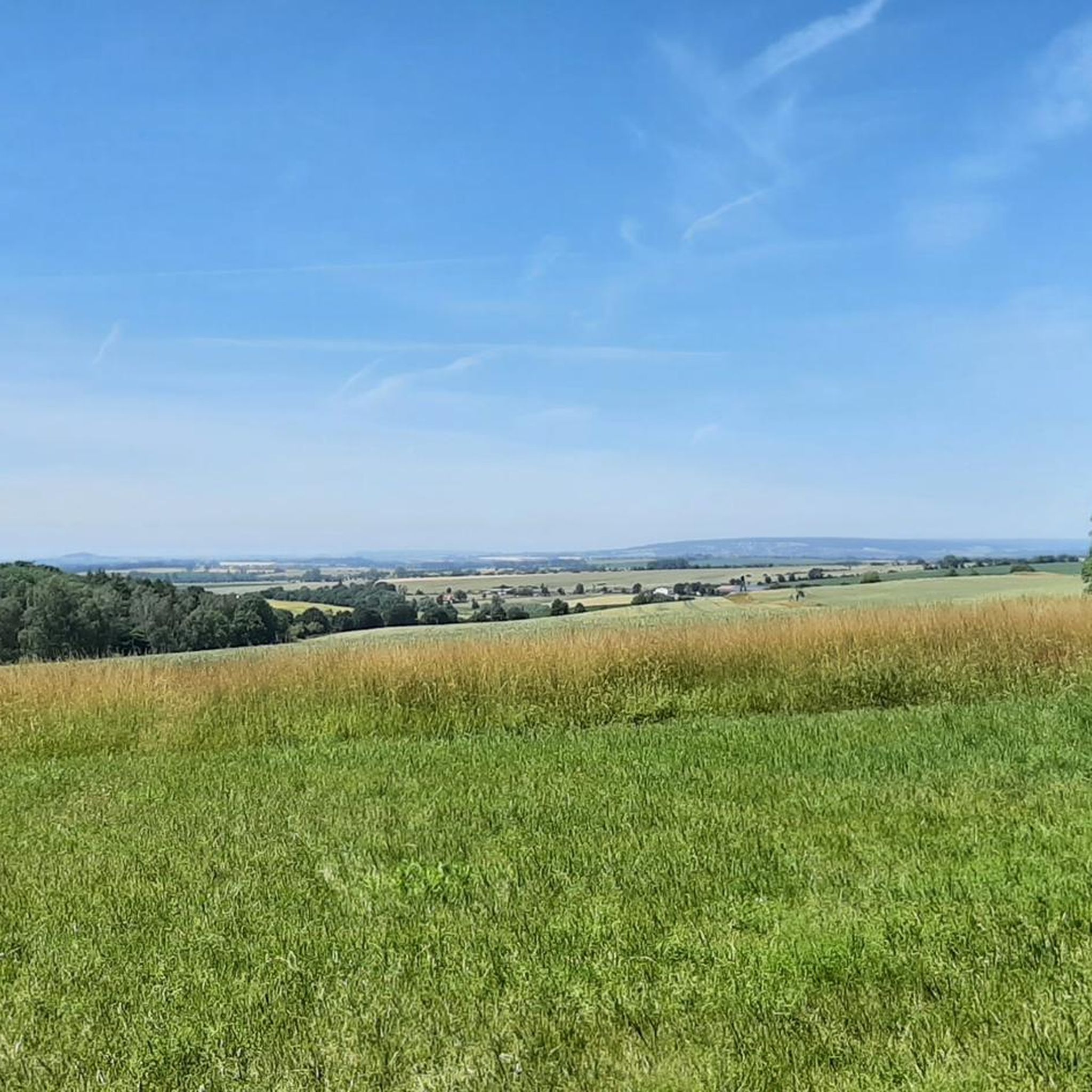
rest area with shelter and beautiful view
1
0

wonderful view and nice rest area. Just great for hikers and cyclists
2
0

A cozy refuge on the Kahler Berg invites you to spend a little more time here. With the beautiful view, it will certainly not be difficult for you. ;)
1
0

Give them back to the people. Stop privatization!
0
0
nice big rest area with hiking map
4
2

a very important place on the tour
0
0

If you want to ride the Allerradweg completely, you need at least two of the many springs. The water outlet is not visible on this, but the associated building has a beautiful relief on the base. PS: There is no catering, self-caterers can use the space well for a break.
0
0
Frequently Asked Questions
How many running routes are available in Hohes Holz?
Hohes Holz offers a wide selection of over 80 running routes. These include options for various fitness levels, with 7 easy, 66 moderate, and 8 difficult trails, ensuring there's a suitable path for every runner.
What kind of terrain can I expect on the running trails in Hohes Holz?
The running trails in Hohes Holz feature a diverse and stimulating landscape. You'll encounter gently rising, wooded hills and extensive forest areas, providing varied terrain from gradual inclines to more challenging ascents. The highest point, the Edelberg, reaches 208.8 meters above sea level, offering a good mix of flat and hilly sections.
Are there any easy running routes for beginners or casual joggers?
Yes, Hohes Holz has 7 easy running routes perfect for beginners or those looking for a more relaxed jog. The extensive network of paths ensures options for various ability levels, allowing you to enjoy the natural environment at your own pace.
Can I find circular running routes in Hohes Holz?
Many of the running paths in Hohes Holz are designed as loops, offering convenient circular routes. For example, the Running loop from Eggenstedt is a popular 4.3-mile (6.9 km) option, and the Hohes Holz loop from Altbrandsleben covers 7.6 miles (12.2 km) through the forest.
What natural features or landmarks can I see while running in Hohes Holz?
While jogging in Hohes Holz, you can experience a rich natural environment. The area is known for its diverse flora, including red beech, oak, and larch trees, and seasonal wildflowers like primroses and rare orchids. Keep an eye out for wildlife such as deer, wild boar, and various bird species. Notable individual trees like the Hubertuseiche and Königsbuche also serve as interesting landmarks. You might also pass by the abandoned Hölle quarry in the western part of the forest.
Are there any specific points of interest or attractions along the running routes?
Yes, several points of interest can be found near or along the running routes. You might encounter the Birch Spring, a tranquil lake, or various rest areas like the Zuckerecke Rest Area and the Streckenplatz Shelter, which offer places to pause and enjoy the scenery. The Hohes Holz Forest itself is a significant natural attraction.
What do other runners enjoy most about jogging in Hohes Holz?
The running routes in Hohes Holz are highly rated by the komoot community, with an average score of 3.9 stars from over 20 reviews. Runners often praise the varied terrain, the extensive and well-preserved natural environment, and the peaceful, immersive nature experience that the forest provides. The network of paths is also appreciated for offering options for different skill levels.
Are the running trails in Hohes Holz dog-friendly?
Hohes Holz is a natural area, and many trails are suitable for dogs. However, as it is a landscape conservation and FFH area with diverse wildlife, it's generally recommended to keep dogs on a leash to protect the local fauna and flora. Always be mindful of local regulations and other visitors.
Are there places to rest or take a break along the running routes?
Yes, Hohes Holz features several designated resting areas with seating, and some even include fire pits and shelters. These spots, often idyllically situated among beech and oak trees, provide perfect opportunities to take a break, rehydrate, and enjoy the peaceful forest atmosphere during your run.
What is the best time of year to go running in Hohes Holz?
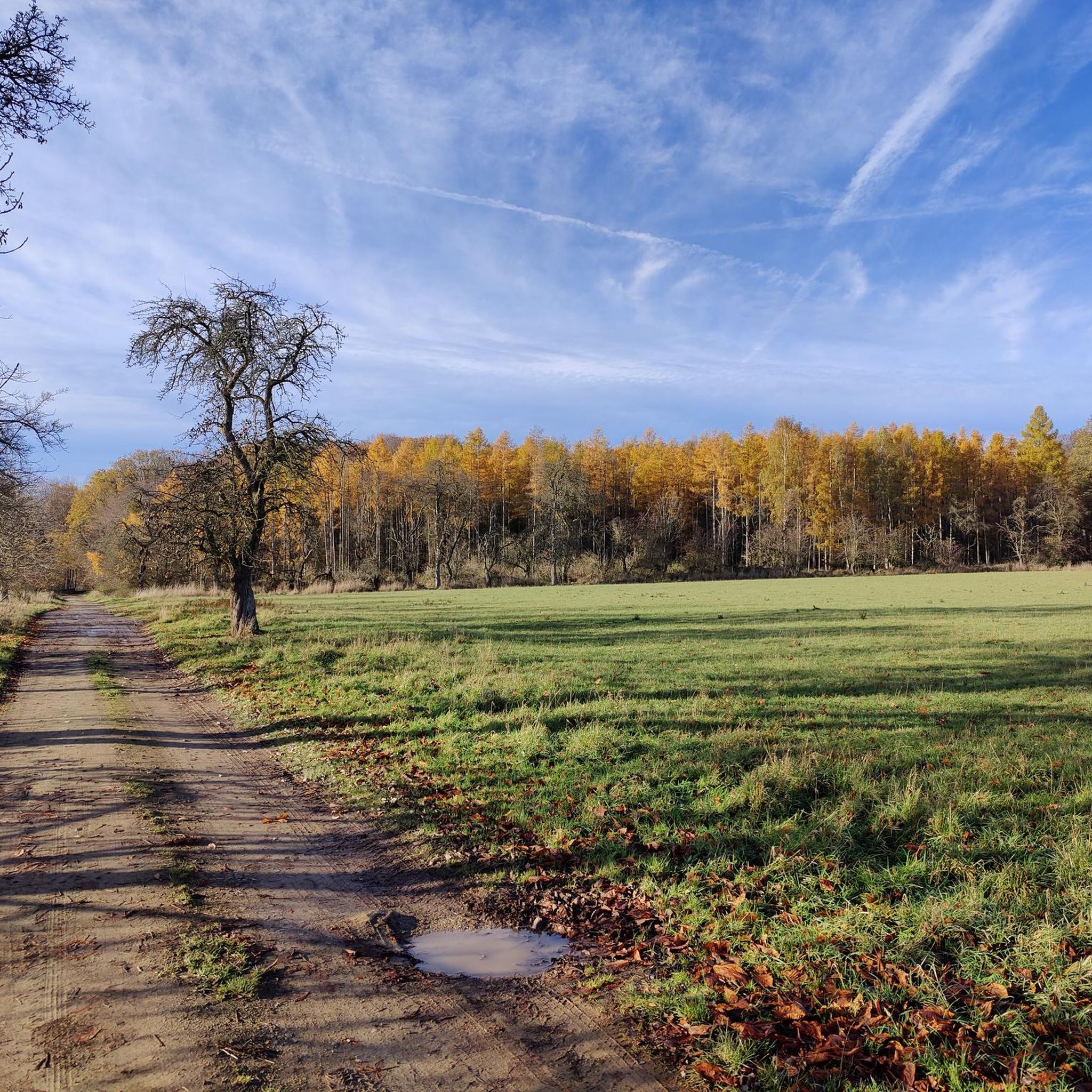
Hohes Holz offers a visually stimulating environment throughout the seasons due to its diverse flora. Spring brings white and yellow anemones and primroses, while summer showcases Turk's cap lilies and orchids. Autumn transforms the forest with vibrant foliage. Each season offers a unique experience, though spring and autumn are often favored for their milder temperatures and beautiful scenery.
How can I access the running routes in Hohes Holz, and is there parking available?
Hohes Holz is located approximately 30 km west of Magdeburg, near Oschersleben. While specific parking information for every trailhead isn't provided, the area is well-known for its recreational infrastructure, suggesting various access points and parking facilities near popular trailheads. It's advisable to check specific route details on komoot for parking suggestions closest to your chosen starting point.
Are there any challenging running trails for experienced runners?
Yes, for experienced runners seeking a challenge, Hohes Holz offers 8 difficult routes. The hilly terrain and varied elevation changes, with the highest point reaching 208.8 meters, provide ample opportunity for more intense workouts. The Hölle Shelter – Rest area An der Hölle loop from Üplingen, for instance, is an 8.3-mile (13.3 km) trail with over 100 meters of elevation gain, offering a good test of endurance.
Most popular routes around Hohes Holz
Most popular attractions around Hohes Holz

Get inspired with the komoot mobile app


Explore more
Browse the best Running Trails & Routes in other regions.
