The best walks and hikes around Hohes Holz
4.6
(646)
1,540
hikers
35
hikes
Hohes Holz hikes offer a diverse natural experience within a wooded, hilly landscape west of Magdeburg. This designated landscape conservation area is characterized by gentle, forested hills, with the Edelberg reaching 209 meters above sea level. The region features rich tree and plant populations, including beech forests and various wildflowers, and is home to the source of the Aller River.
Best hiking trails around Hohes Holz
- The most popular hiking route is Rest Area with Shelter – Kahler Berg Shelter loop from Waldfrieden und Vogelherd im Hohen Holz, a 6.6 miles (10.7 km) trail that takes 2 hours 48 minutes to complete. This moderate path explores the varied forest terrain.
- Another top favourite among local hikers is Rest Area with Shelter – Edelberg (209 m) loop from Eggenstedt, an easy 4.5 miles (7.2 km) path. This route includes the highest point in Hohes Holz, offering views across the landscape.
- Local hikers also love the Hotel Hubertushöhe – Rest area An der Hölle loop from Waldfrieden und Vogelherd im Hohen Holz, a 3.1 miles (4.9 km) trail leading through dense beech forests, often completed in about 1 hour 19 minutes.
- Hiking around Hohes Holz is defined by gentle, wooded hills, diverse flora, and the source of the Aller River. The network offers options for different ability levels, from easy walks to moderate hikes.
- The routes in Hohes Holz are highly rated by the komoot community with an average score of 4.7 stars from more than 260 reviews. More than 700 hikers have used komoot to explore Hohes Holz's varied terrain.
Last updated: June 26, 2026
4.9
(31)
74
hikers
Moderate hike. Good fitness required. Easily-accessible paths. Suitable for all skill levels.
4.5
(11)
50
hikers
7.19km
01:53
60m
60m
Easy hike. Great for any fitness level. Easily-accessible paths. Suitable for all skill levels.

Sign up for free
4.0
(6)
25
hikers
Easy hike. Great for any fitness level. Easily-accessible paths. Suitable for all skill levels.
4.7
(15)
31
hikers
Easy hike. Great for any fitness level. Easily-accessible paths. Suitable for all skill levels.
4.9
(52)
31
hikers
Easy hike. Great for any fitness level. Easily-accessible paths. Suitable for all skill levels.
Get access to more routes and recommendations from other explorers.
Sign up for free
Already have an account?
Our route recommendations are based on thousands of hikes, rides, and runs completed by other people on komoot.
Start today with a free account
Your next adventure awaits.
Login or Signup
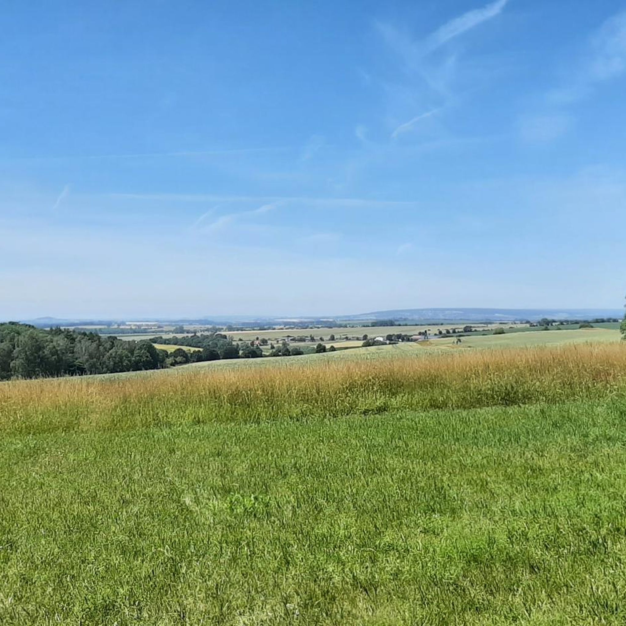
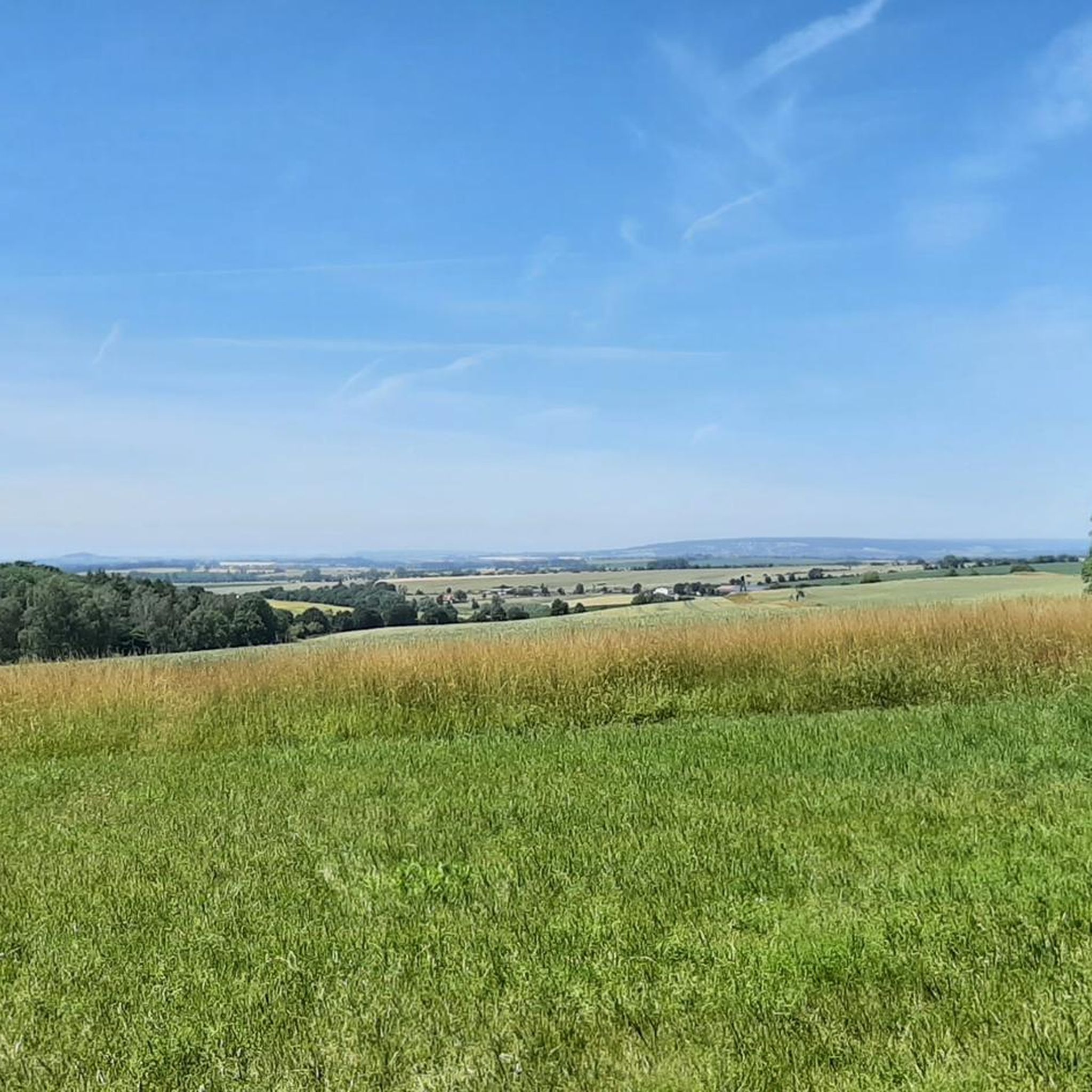
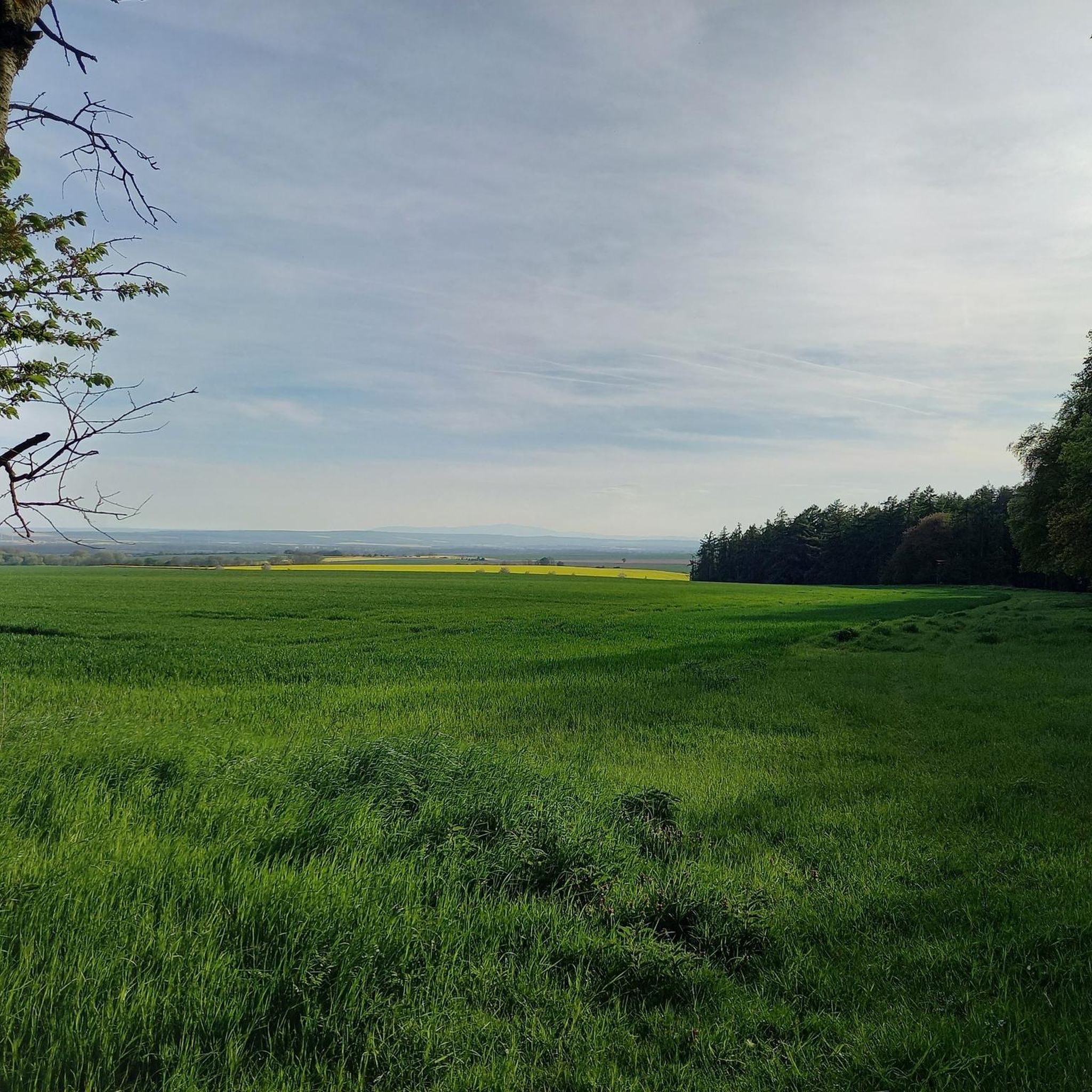
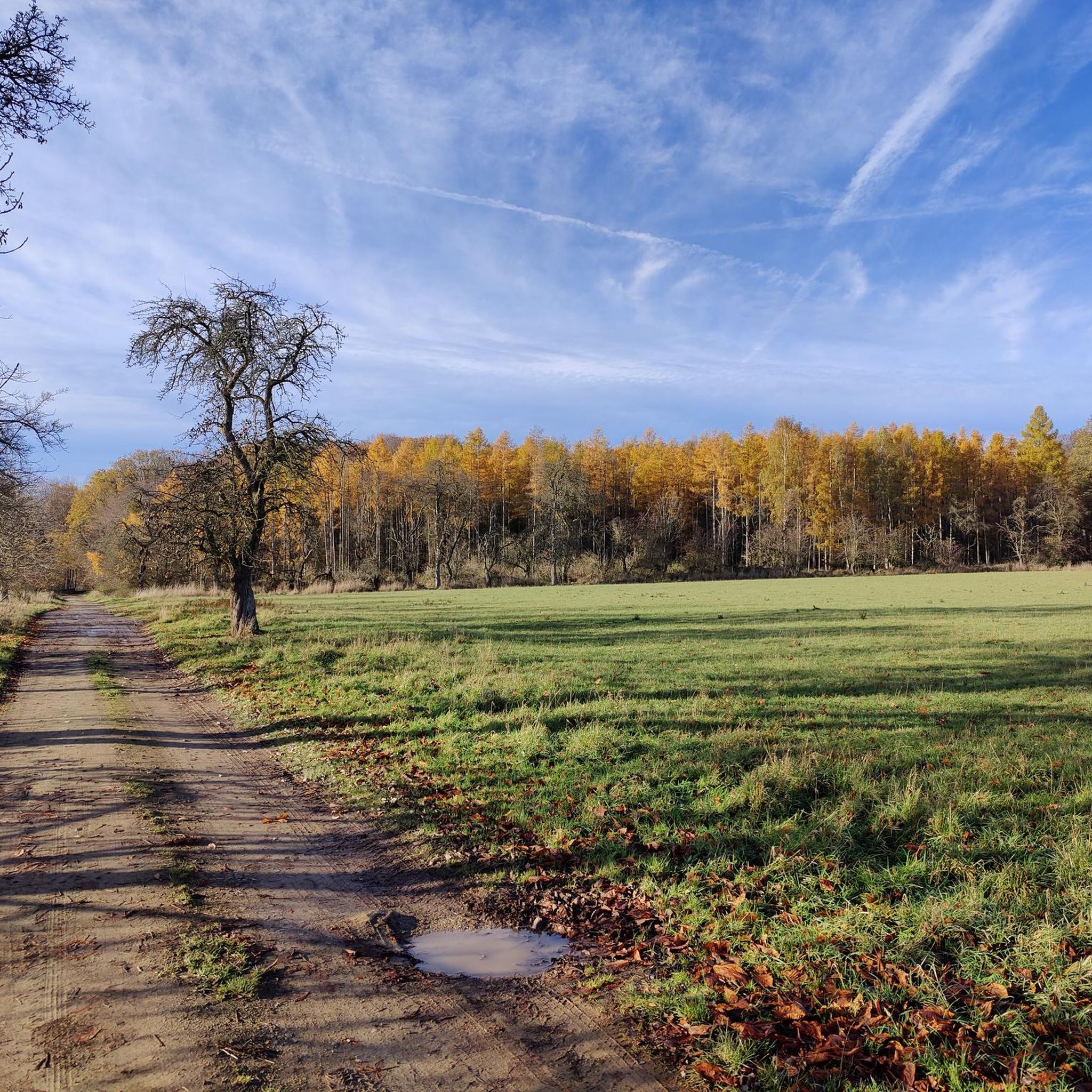

Tips from the Community

rest area with shelter and beautiful view
1
0

A rather unusual place for a memorial stone.
1
0
In addition to a refuge, there is also an information and overview map.
1
0
General information, but also parking options and hiking trails can be found here.
1
0
Easily accessible path through the nature reserve.
1
0
I didn't find anything about the Buttermilk Way, except that there is also a Buttermilk Way in the Sierra Nevada National Forest in California.
1
0
Suitable for a short break or protection from the rain, but otherwise not very comfortable.
1
0
Here is on the Edelberg, the highest point in the Hohes Holz.
1
0
Frequently Asked Questions
How many hiking trails are available in Hohes Holz?
Hohes Holz offers a network of over 35 hiking trails. These routes cater to various fitness levels, with 21 classified as easy and 15 as moderate, ensuring there's something for everyone to explore.
Are there any family-friendly hiking trails in Hohes Holz?
Yes, Hohes Holz is an excellent destination for families. Many of the trails are easy, providing gentle walks through the wooded landscape. A good option for families is the Hotel Hubertushöhe – Rest area An der Hölle loop from Waldfrieden und Vogelherd im Hohen Holz, which is 4.9 km long and leads through dense beech forests.
Can I bring my dog on the hiking trails in Hohes Holz?
Hohes Holz is generally dog-friendly, with its extensive network of footpaths through the forest. While specific dog-friendly routes aren't highlighted, the natural environment and varied terrain make most trails suitable for walks with leashed dogs. Always ensure your dog is under control and respect local wildlife.
What kind of terrain can I expect when hiking in Hohes Holz?
The terrain in Hohes Holz is characterized by gentle, wooded hills, making for engaging hikes without extreme difficulty. The highest point is the Edelberg at 209 meters above sea level. You'll find well-maintained footpaths and cycle ways, predominantly through beech forests, offering a pleasant and varied walking experience.
Are there any circular hiking routes in Hohes Holz?
Yes, Hohes Holz features several circular hiking routes, perfect for exploring the area without retracing your steps. One popular option is the Rest Area with Shelter – Edelberg (209 m) loop from Eggenstedt, an easy 7.2 km path that includes the highest point in the region.
What natural features or landmarks can I see while hiking in Hohes Holz?
Hohes Holz offers several interesting natural features and landmarks. You can explore the source of the Aller River at the northern edge of the forest in Eggenstedt. The area also boasts diverse flora, including various wildflowers, and is home to the Hohes Holz Forest itself, a designated landscape conservation area. The Birch Spring is another notable point of interest.
What is the best time of year to visit Hohes Holz for hiking?
Hohes Holz is beautiful throughout the seasons due to its rich tree and plant populations. Spring brings vibrant wildflowers like anemones and primula, while autumn offers stunning foliage. The gentle terrain makes it suitable for hiking in most conditions, though checking local weather forecasts is always advisable.
Is there public transport access to Hohes Holz hiking trails?
While Hohes Holz is easily accessible by car, specific public transport options directly to trailheads may be limited. It's advisable to check local bus schedules to nearby towns like Eggenstedt or Oschersleben and plan your route accordingly, as some trailheads might require a short walk or taxi ride from public transport stops.
Are there any places to eat or stay near Hohes Holz?
Yes, there are amenities near Hohes Holz. The Hotel Hubertushöhe is a notable establishment in the area, offering accommodation and dining options. Additionally, nearby towns like Eggenstedt and Oschersleben provide various cafes, pubs, and restaurants for hikers to enjoy before or after their adventures.
What do other hikers enjoy most about hiking in Hohes Holz?
The komoot community highly rates Hohes Holz, with an average score of 4.7 stars from over 260 reviews. Hikers often praise the quiet woodlands, the well-maintained paths, and the diverse natural experience. Many appreciate the varied terrain that offers both easy strolls and moderate challenges, making it a rewarding destination for nature lovers.
Are there any specific points of interest or shelters along the trails?
Yes, you'll find various points of interest and shelters along the trails in Hohes Holz. These include the Rest Area with Shelter, the Streckenplatz Shelter, and the Zuckerecke Rest Area, providing convenient spots for a break. There's also a newly created nature trail that offers extensive information about the forest ecosystem.
Most popular routes around Hohes Holz
Most popular attractions around Hohes Holz

Get inspired with the komoot mobile app


Explore more
Browse the best Hikes in other regions.
