The best walks and hikes around Köllnische Heide
4.5
(10458)
55,187
hikers
2,036
hikes
Hiking around Köllnische Heide offers accessible green spaces within an urban landscape, characterized by its connection to the Spree River. The area features a strip of forest and meadow areas, providing a recreational setting. Paths are generally easily accessible, making the terrain suitable for various fitness levels. The landscape includes features like the "Bunkerberg," a mound formed from a former air-raid shelter.
Best hiking trails around Köllnische Heide
- The most popular hiking route is Köllnische Heath – Bench With a View of the Heath loop from Oberspree, a 3.3 miles (5.3 km) trail that takes 1 hour 20 minutes to complete. This easy route offers views of the heath.
- Another top favourite among local hikers is Wuhlheide People’s Park – Kindl Stage Wuhlheide loop from Oberschöneweide, an easy 3.9 miles (6.2 km) path. This route explores the Wuhlheide People's Park.
- Local hikers also love the Krumme Lake, Grünau – Northern Krumme Lake loop from Adlershof, a 17.1 miles (27.5 km) trail leading through varied terrain around Krumme Lake, often completed in about 6 hours 57 minutes.
- Hiking around Köllnische Heide is defined by green spaces, forest paths, and riverside sections along the Spree. The network offers options for different ability levels, from easy strolls to more challenging long-distance routes.
- The routes in Köllnische Heide are highly rated by the komoot community with an average score of 4.6 stars from over 9,000 reviews. More than 50,000 hikers have used komoot to explore Köllnische Heide's varied terrain.
Last updated: June 27, 2026
4.5
(19)
53
hikers
Easy hike. Great for any fitness level. Easily-accessible paths. Suitable for all skill levels.
14
hikers
Easy hike. Great for any fitness level. Easily-accessible paths. Suitable for all skill levels.

Sign up for free
4.7
(3)
10
hikers
Easy hike. Great for any fitness level. Easily-accessible paths. Suitable for all skill levels.
19
hikers
Easy hike. Great for any fitness level. Easily-accessible paths. Suitable for all skill levels.
4.5
(11)
55
hikers
27.5km
06:57
50m
50m
Hard hike. Very good fitness required. Easily-accessible paths. Suitable for all skill levels.
Get access to more routes and recommendations from other explorers.
Sign up for free
Already have an account?
Our route recommendations are based on thousands of hikes, rides, and runs completed by other people on komoot.
Start today with a free account
Your next adventure awaits.
Login or Signup
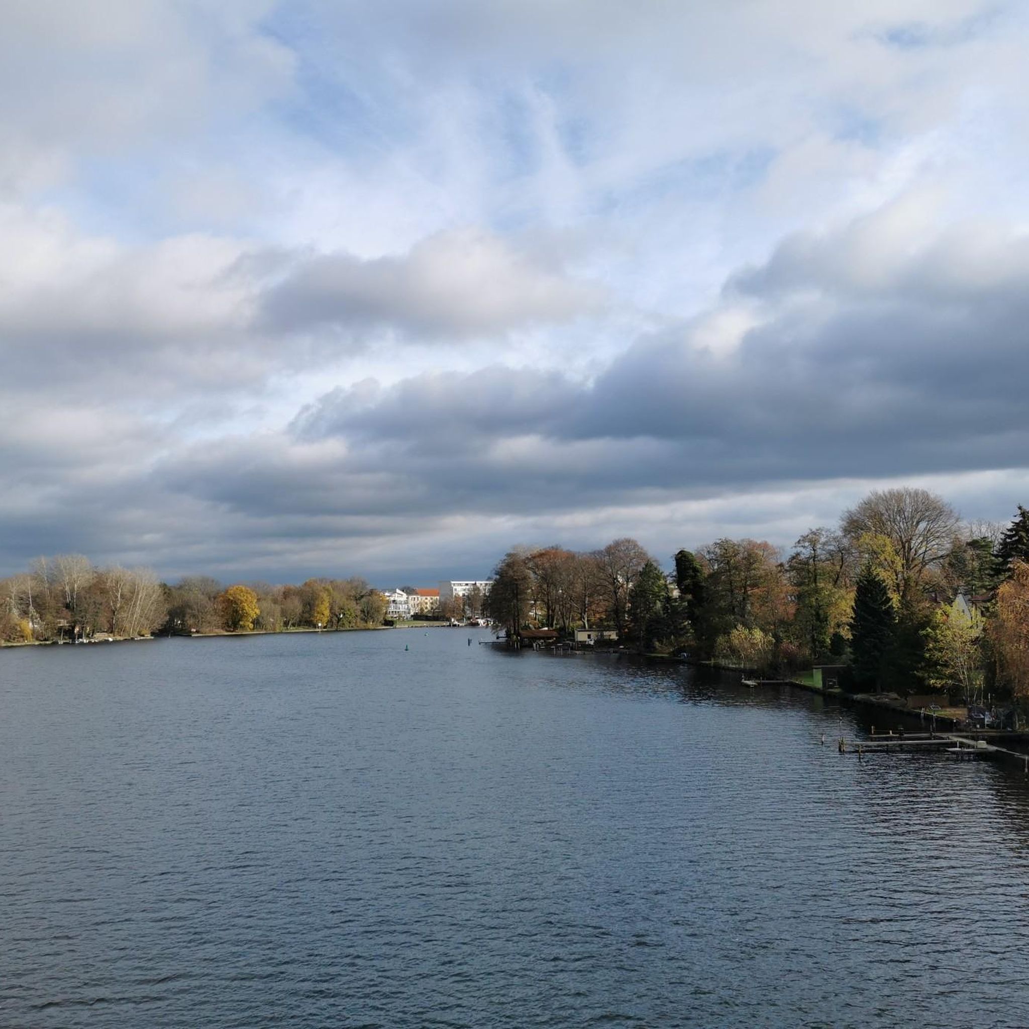
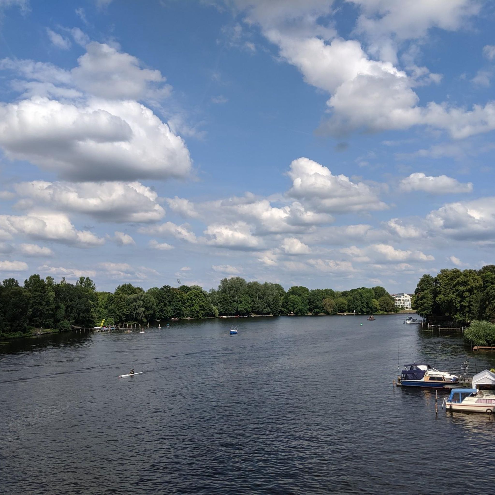
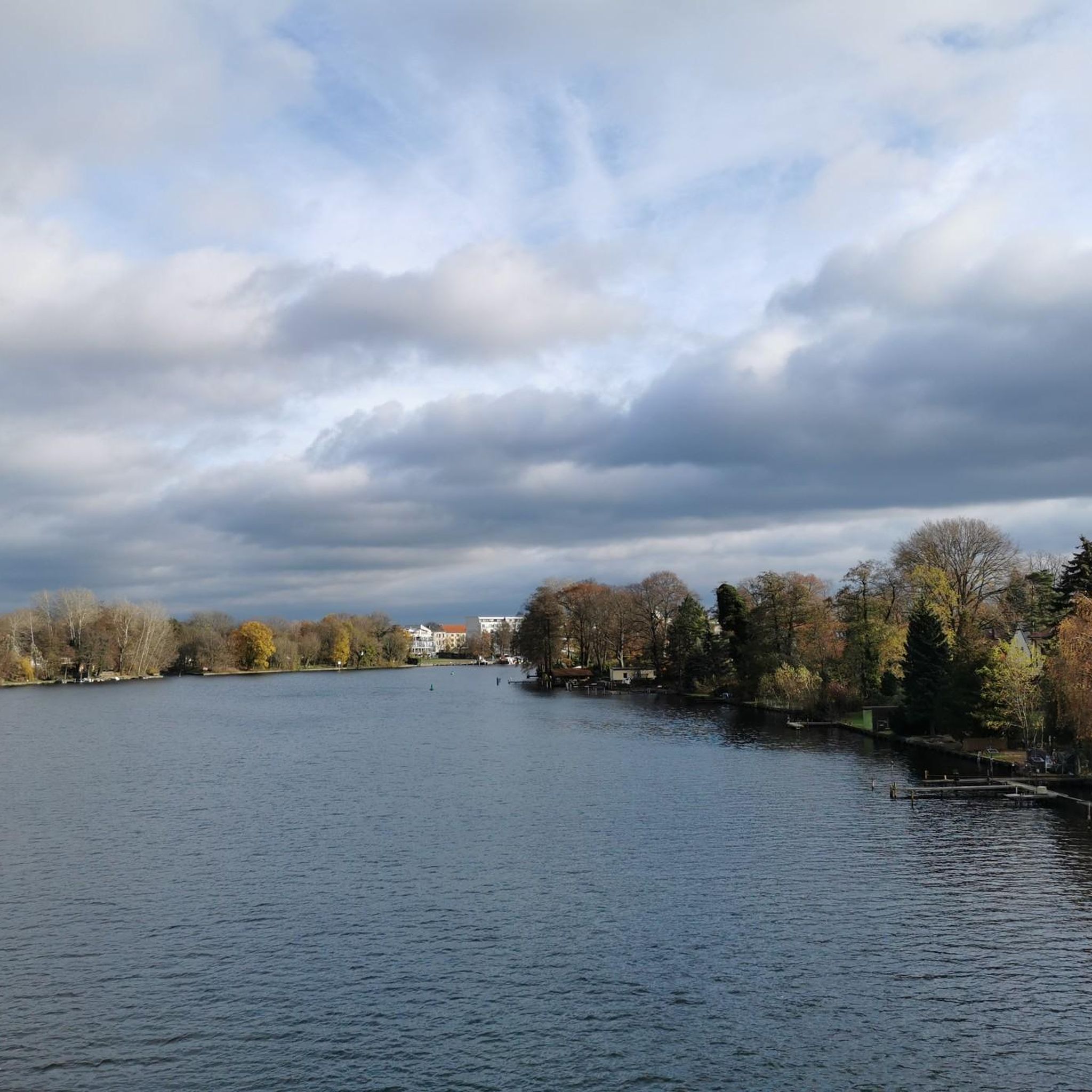
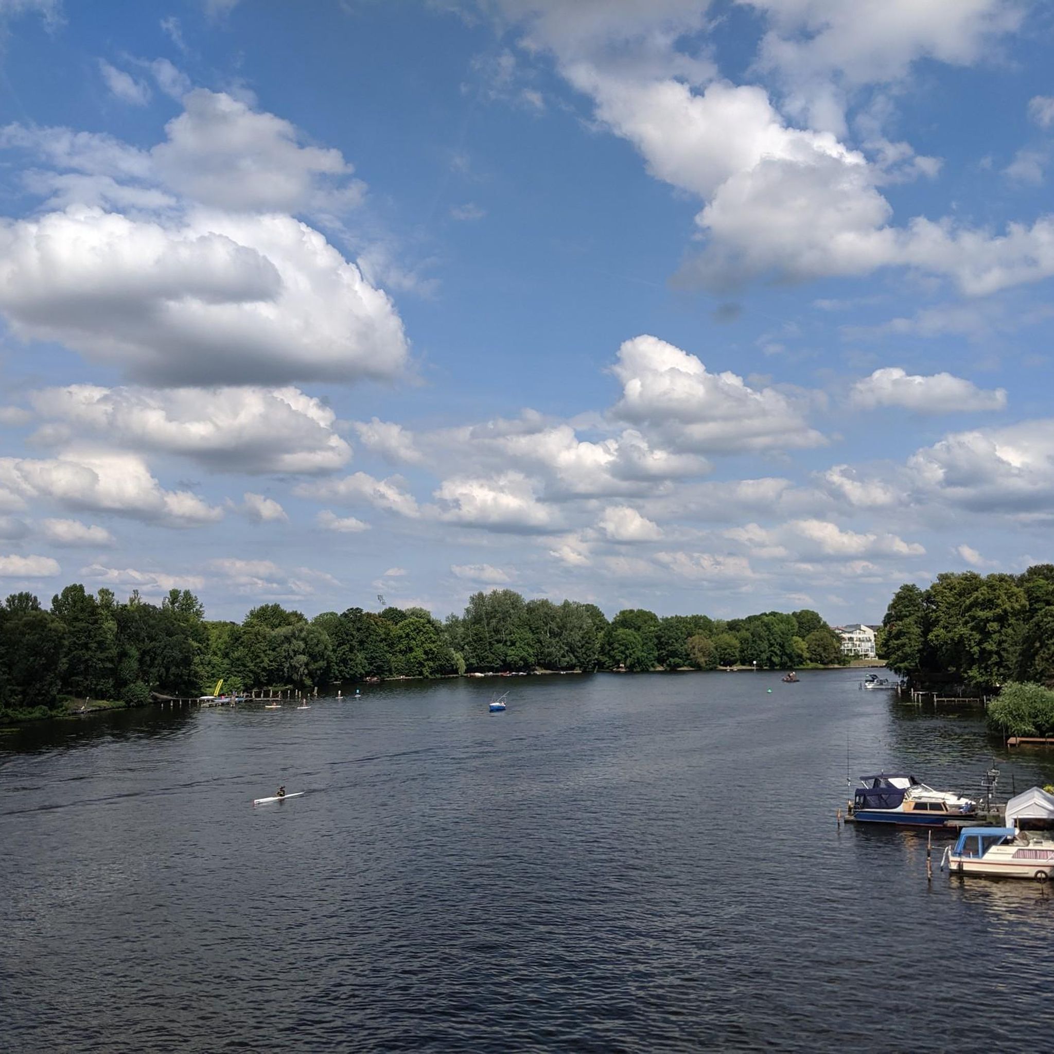

Tips from the Community

Ferry ride every 30min with a normal BVG ticket. Bikes currently cost €1.90
0
0


Status 03/2026: Currently, there is a construction site here. The old castle was broken and dilapidated. The completion date was probably December 1, 2025. A "joker" changed the 5 to a 6 on the sign ...🙁. Let's see if they finish by then.
0
0
With its proximity to the main entrance of the Recreation and Leisure Centre (FEZ), this station represents the operational centre of the park railway. Originally, a Mitropa restaurant called "Mäxchen Pfiffig" was located in part of the station. Today, the operational and business management of the BPE is located here. Source: https://de.wikipedia.org/wiki/Parkeisenbahn_Wuhlheide
0
0
The prices are now 25.00/23.00/21.00 EURO for adults/reduced/children up to 12 years old under 1.30 m. This is quite steep compared to 2018 (see above @Martin). Further info: https://www.kletterwald-wuhlheide.de/
0
0
Some pictures show Hp. Eichgestell Feldbahn. This independent stop belongs to the "500mm Feldbahnprojekt", a museum narrow-gauge railway in the leisure and recreation center. At the western end near the FEZ (formerly the Pioneer Palace) there is a narrow-gauge railway collection, see also the hiking highlight "500 mm Feldbahn Sammlung Berlin" (https://www.komoot.com/de-de/highlight/1344235).
0
0
With the construction of the Pionierpalast in 1979, the route running south of the Badesee had to be relocated to its north side and the then Badesee station abandoned. The route length increased to now 7.2 km. The Pionierpalast station was newly created at this location and later renamed Bf. Eichgestell.
0
0
With the construction of the Pionierpalast in 1979, the route originally running south of the Badesee had to be relocated to its north side, and the Badesee train station, then located east of the lake, had to be abandoned. At the location of today's Bf. Badesee, there was formerly the Bf. Puppentheater, which according to a route plan from 1956 was located on the grounds of today's bungalow village.
0
0
Frequently Asked Questions
What kind of terrain can I expect when hiking in Köllnische Heide?
Köllnische Heide is characterized by easily accessible paths, primarily through green spaces, forest paths, and riverside sections along the Spree. The terrain is generally flat, making it suitable for various fitness levels and leisurely walks. You'll find a pleasant mix of natural landscapes within an urban setting.
Are there many hiking trails available in Köllnische Heide?
Yes, Köllnische Heide offers a wide selection of routes. There are over 2,000 hiking trails in the area, ranging from short, easy strolls to longer, more challenging routes. Over 1,400 of these are classified as easy, providing plenty of options for all abilities.
What are some notable natural features or landmarks to look out for?
While primarily a natural green space, Köllnische Heide has a few points of interest. A unique feature is the Bunker Hill in the Köllnische Heide, a mound created from a former World War II air-raid shelter. The area itself, known as Köllnische Heath, offers pleasant forest and meadow areas along the Spree River.
Are there any family-friendly hiking options in Köllnische Heide?
Absolutely. Many of the trails in Köllnische Heide are easy and well-suited for families with children. Routes like the Johannisthal BMX Course – Sneaker Tree at the Skatepark loop from Adlershof offer shorter distances and minimal elevation, perfect for a family outing.
Can I bring my dog on the hiking trails in Köllnische Heide?
Yes, Köllnische Heide is generally dog-friendly. The extensive network of forest paths and green spaces provides ample opportunity for walks with your canine companion. Always ensure your dog is under control and check for any local regulations regarding leashes, especially in more populated areas or nature reserves.
What do other hikers say about the trails in Köllnische Heide?
The hiking routes in Köllnische Heide are highly regarded by the komoot community, with an average rating of 4.6 stars from nearly 10,000 reviews. Hikers often praise the accessible green spaces, the connection to the Spree River, and the variety of paths suitable for different activity levels.
Are there any circular hiking routes in the area?
Yes, Köllnische Heide offers numerous circular routes. For example, the easy Köllnische Heath – Bench With a View of the Heath loop from Oberspree is a popular choice, providing a pleasant round trip through the heath. Another option is the Wuhlheide People’s Park – Kindl Stage Wuhlheide loop from Oberschöneweide, which explores a nearby park.
How can I reach Köllnische Heide using public transport?
Köllnische Heide is well-connected to Berlin's public transport network. You can reach various starting points for hikes via S-Bahn or bus. For specific route planning, it's best to consult local transport apps or websites for the most current connections to areas like Adlershof or Oberspree.
Is there parking available for hikers in Köllnische Heide?
Yes, there are usually parking options available near the entry points to Köllnische Heide, particularly in the surrounding urban areas like Adlershof and Oberschöneweide. However, availability can vary, especially on weekends, so arriving early or considering public transport is advisable.
Are there any longer or more challenging hikes in Köllnische Heide?
While many trails are easy, there are options for longer and more challenging hikes. For instance, the Krumme Lake, Grünau – Northern Krumme Lake loop from Adlershof is a more difficult, 27.5 km route that takes you through varied terrain and around Krumme Lake, typically requiring several hours to complete.
What kind of views can I expect on the trails?
The views in Köllnische Heide primarily feature natural green landscapes, including forest sections, open meadows, and glimpses of the Spree River. While there are no dramatic mountain vistas, you'll enjoy serene natural scenery and a peaceful escape within the city's reach.
Are there places to eat or drink near the hiking trails?
As Köllnische Heide is situated within an urban area, you'll find various cafes, restaurants, and pubs in the nearby districts of Adlershof, Oberschöneweide, and Köpenick. These areas offer options for refreshments before or after your hike.
Most popular routes around Köllnische Heide
Most popular attractions around Köllnische Heide

Get inspired with the komoot mobile app


Explore more
Browse the best Hikes in other regions.
