The best running trails around Fontburn Reservoir
5.0
(3)
556
runners
37
runs
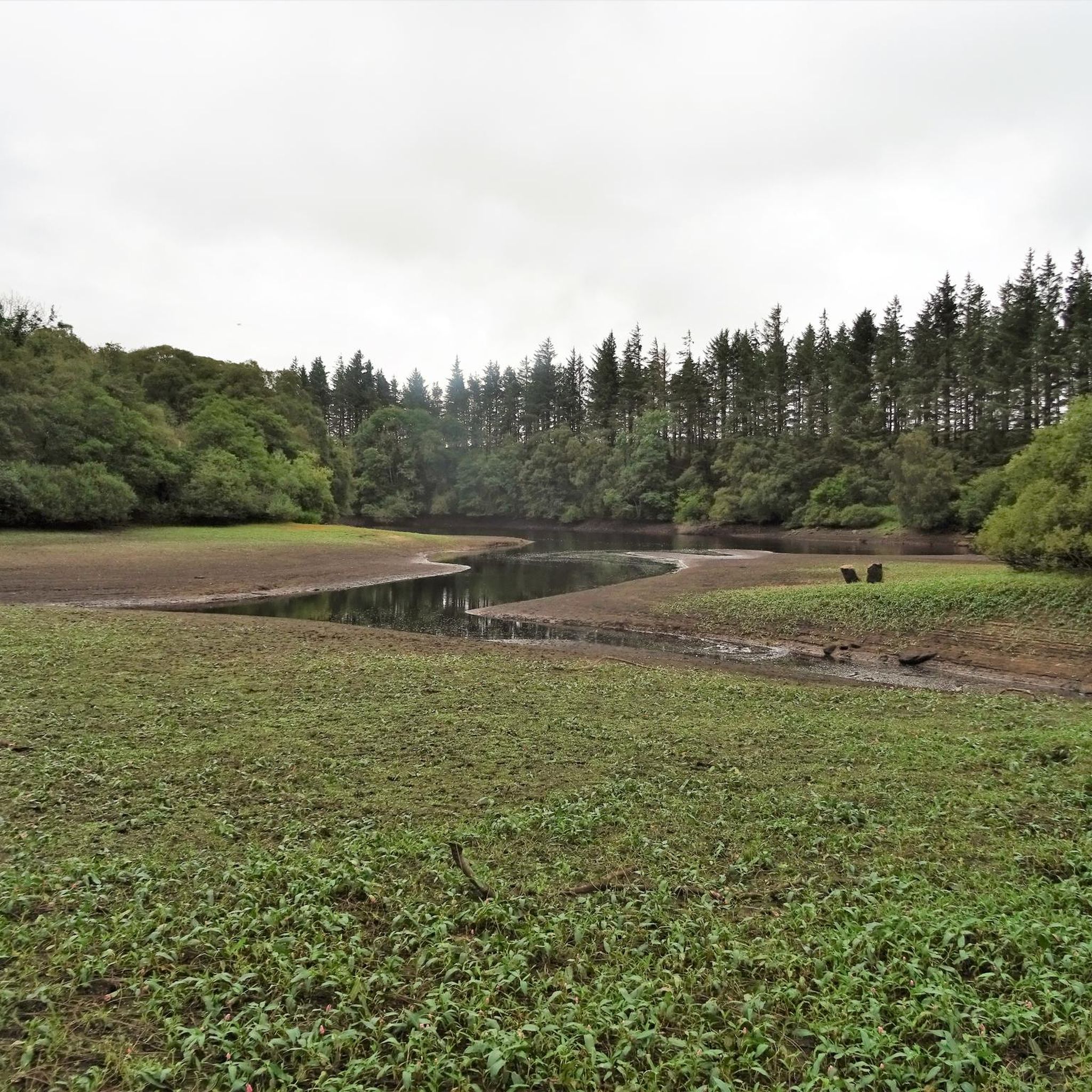
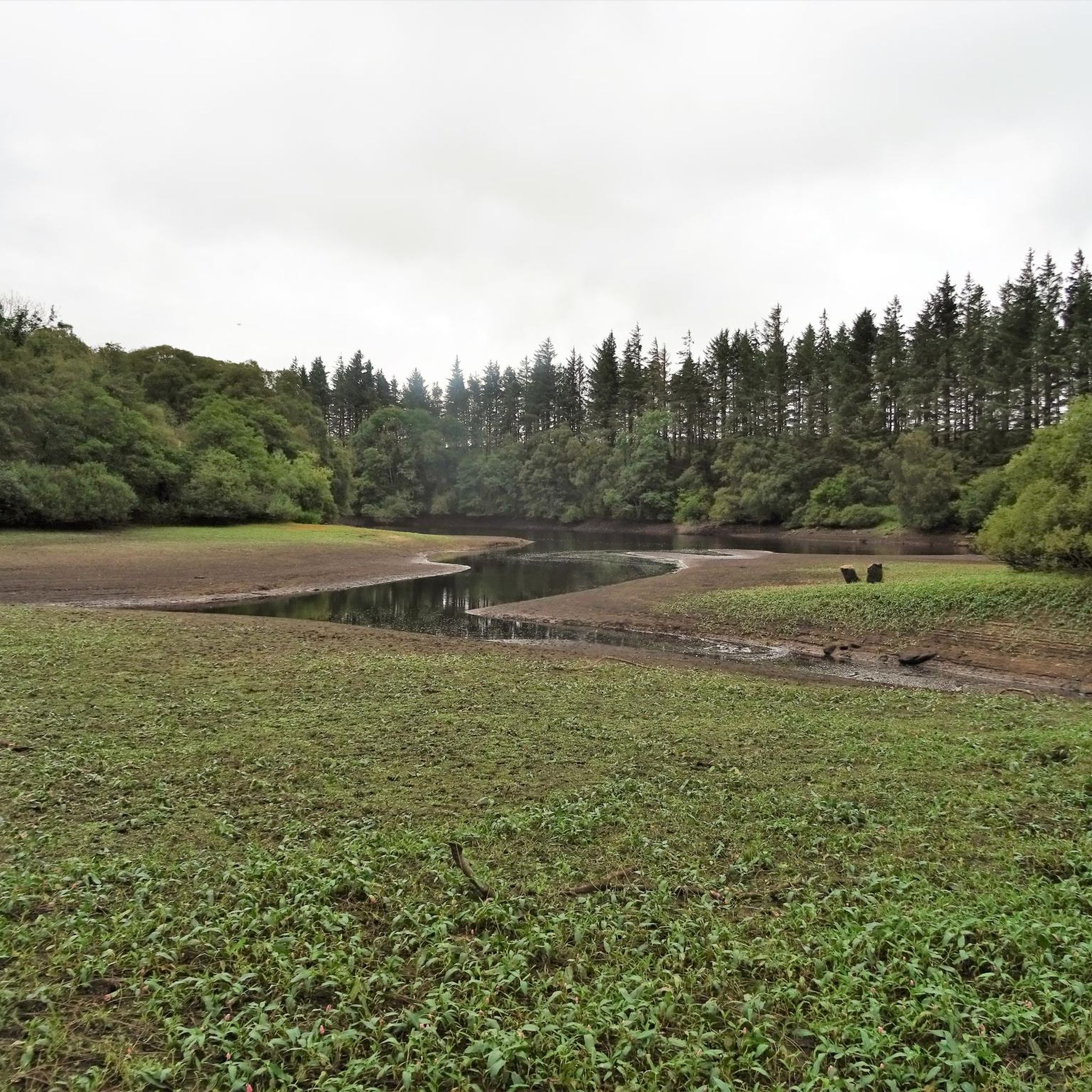
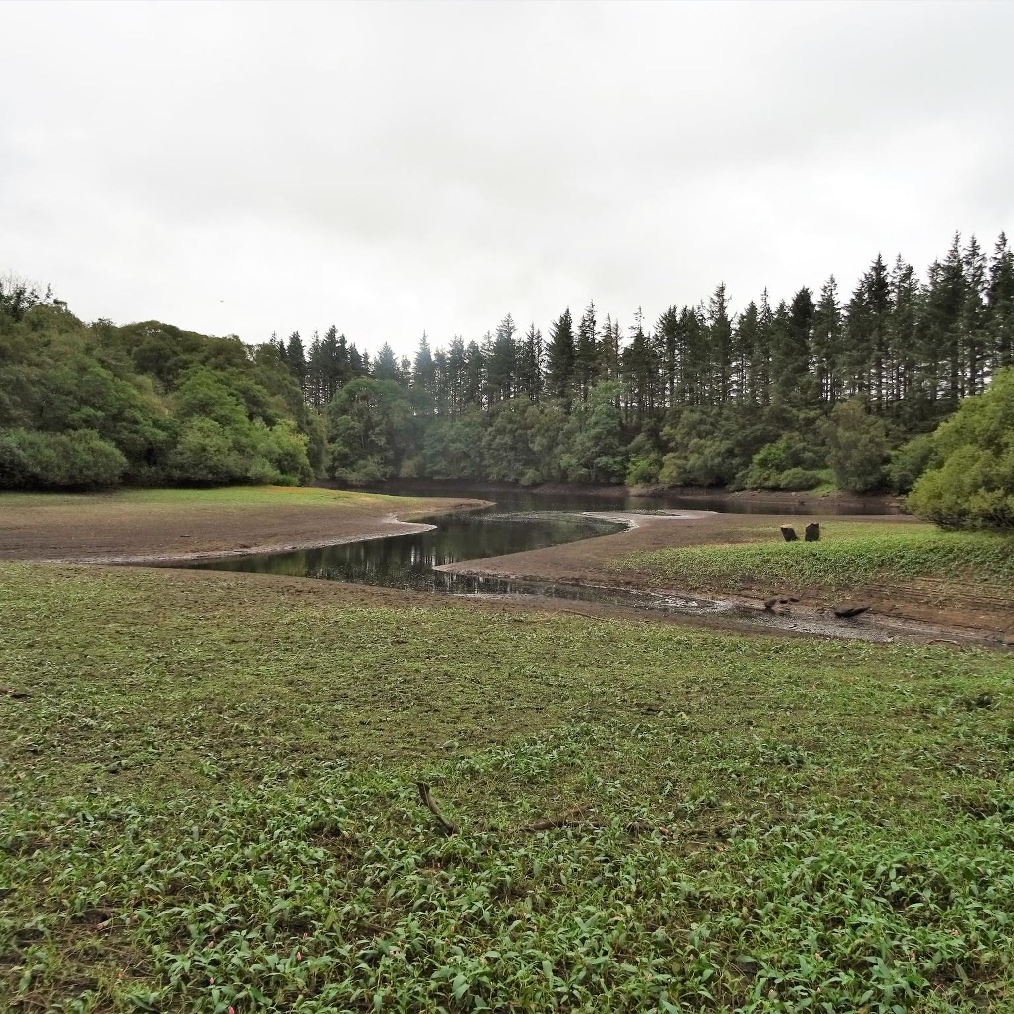
Jogging around Fontburn Reservoir offers a varied landscape of moorland, waterside paths, and tranquil woodlands. The terrain is generally straightforward, with some sections featuring grass or bark paths and tree roots. Views of the Simonside Hills are visible from various points, complementing the picturesque farmland and lush woodlands. The area provides a dynamic environment for running, ranging from gentle reservoir-side loops to more challenging routes in the surrounding hills.
Best jogging routes around Fontburn Reservoir
- The most popular jogging route…
Last updated: June 29, 2026
30
runners
13.2km
01:36
250m
250m
Hard run. Good fitness required. Sure-footedness, sturdy shoes and alpine experience required.
3
runners
4.47km
00:28
50m
50m
Easy run. Great for any fitness level. Mostly paved surfaces. Suitable for all skill levels.

Sign up for free
28
runners
19.3km
02:23
330m
320m
Prepare for a challenging jogging experience on the Simonside Hills loop from Lordenshaws, a difficult 12.0-mile (19.3 km) route that typically takes around 2 hours and 23 minutes to complete.…
18
runners
10.9km
01:27
330m
320m
Hard run. Very good fitness required. Sure-footedness, sturdy shoes and alpine experience required.
5
runners
22.1km
02:43
480m
480m
Hard run. Very good fitness required. Sure-footedness, sturdy shoes and alpine experience required.
Get access to more routes and recommendations from other explorers.
Sign up for free
Already have an account?
Our route recommendations are based on thousands of hikes, rides, and runs completed by other people on komoot.
Start today with a free account
Your next adventure awaits.
Login or Signup

Tips from the Community


all was fine when I passed through in late October
0
0

can be easy or difficult, depends which side you ascend from. so choose wisely
2
0

Good trails to ride on, great views on a sunny day. Can either include as part of a Rothbury/Simonside ride, or head over to Harwood Forest
0
0

A rocky scramble at the end of this climb really does make you feel like you’re almost a mountain climber. Wear sturdy shoes and take care and you’ll be treated with unmissable views
0
0

Dove Crag 395.7m P18.1 (1298ft) (Hill ID: 505959) [JNSA s5723] Northumberland National Park Definitive List summit. County of Northumberland Definitive List summit.
0
0

Simonside is a 429m (1400ft) summit perched atop the untamed wilderness of the Northumberland National Park. It boasts a rugged ridge that commands sensational views of the Cheviot Hills to the north and the whole Northumbrian coastline to the east. In close reach from Rothbury, Simonside is a top pick for epic views. Bring a flask of tea, settle in and relish the perfect scenery surround you.
3
0
Frequently Asked Questions
Are there any circular running routes around Fontburn Reservoir?
Yes, the main attraction for runners is the well-defined circular walk around the reservoir, which is approximately 3.5 miles (5.6 km) long. This route offers a comprehensive tour of the surroundings, incorporating parts of the "Waterside Trail" and the "Greenleighton Walk".
What kind of terrain can I expect on the running trails at Fontburn Reservoir?
The terrain around Fontburn Reservoir is varied, offering a mix of moorland, waterside paths, and tranquil woodland habitats. While generally straightforward, some sections may feature grass or bark paths and tree roots. It's worth noting that paths can become muddy after wet weather.
Are there any easy running routes suitable for beginners or a relaxed jog?
Yes, there are options for easy jogs. A popular choice is the Codger Fort loop from Rothley Castle, which is a 2.8-mile (4.5 km) trail offering easy terrain and scenic views. This route can typically be completed in under 30 minutes.
What natural features or viewpoints can I enjoy while running at Fontburn Reservoir?
As you run, you'll be treated to attractive views, including glimpses of the Simonside Hills. The area is nestled amidst picturesque farmland and lush woodlands, providing a peaceful and beautiful backdrop. You'll encounter a mix of moorland, waterside paths, and tranquil woodland habitats.
Is Fontburn Reservoir a good place for family-friendly running or walks?
Absolutely. Beyond the running trails, Fontburn Reservoir offers a stimulating play zone with swings, slides, climbing frames, and a zip wire, making it a great spot for families. There are also ample picnic areas for rest and refreshments after your run or walk.
What wildlife might I encounter on the trails around Fontburn Reservoir?
Fontburn Reservoir is a designated local wildlife site, so you have a good chance of spotting various creatures. Keep an eye out for red squirrels, badgers, roe deer, stoats, Exmoor ponies, and different bird species like pied flycatchers, redstarts, and lapwings.
Are there any historical or interesting landmarks along the running routes?
Yes, along the route, you can observe the Fallowless Burial Site, a 3,000-year-old Bronze Age burial mound, adding a touch of historical interest to your run. You might also notice the intriguing "Plughole," a shaft spillway that helps regulate the reservoir's water levels.
What do other runners say about their experience jogging at Fontburn Reservoir?
The routes in Fontburn Reservoir are highly rated by the komoot community, with an average score of 4.9 stars from more than 5 reviews. Over 600 runners have used komoot to explore the varied terrain, often praising the scenic beauty and diverse environment.
Are there any more challenging running routes for experienced runners?
For those seeking a greater challenge, the area offers more difficult options. The Simonside Hills loop from Lordenshaws — Northumberland National Park is a 12.0-mile (19.3 km) trail through moorland and woodland paths, typically taking over two hours to complete. Another difficult option is the View from Dove Crag – Simonside Crag loop from Hollinghill, an 8.2-mile (13.2 km) path featuring challenging ascents and panoramic views.
Are there facilities like shops or cafes available at Fontburn Reservoir?
Yes, there is a shop on-site that offers hot drinks and snacks, which can be convenient for a refreshment stop before or after your run. Opening hours may vary, so it's advisable to check in advance.
How many running routes are available around Fontburn Reservoir?
There are over 40 running routes available around Fontburn Reservoir, catering to various fitness levels. These include 2 easy routes, 21 moderate routes, and 17 difficult routes, ensuring options for everyone from casual joggers to experienced trail runners.
Most popular routes around Fontburn Reservoir

Get inspired with the komoot mobile app


Explore more
Browse the best Running Trails & Routes in other regions.
